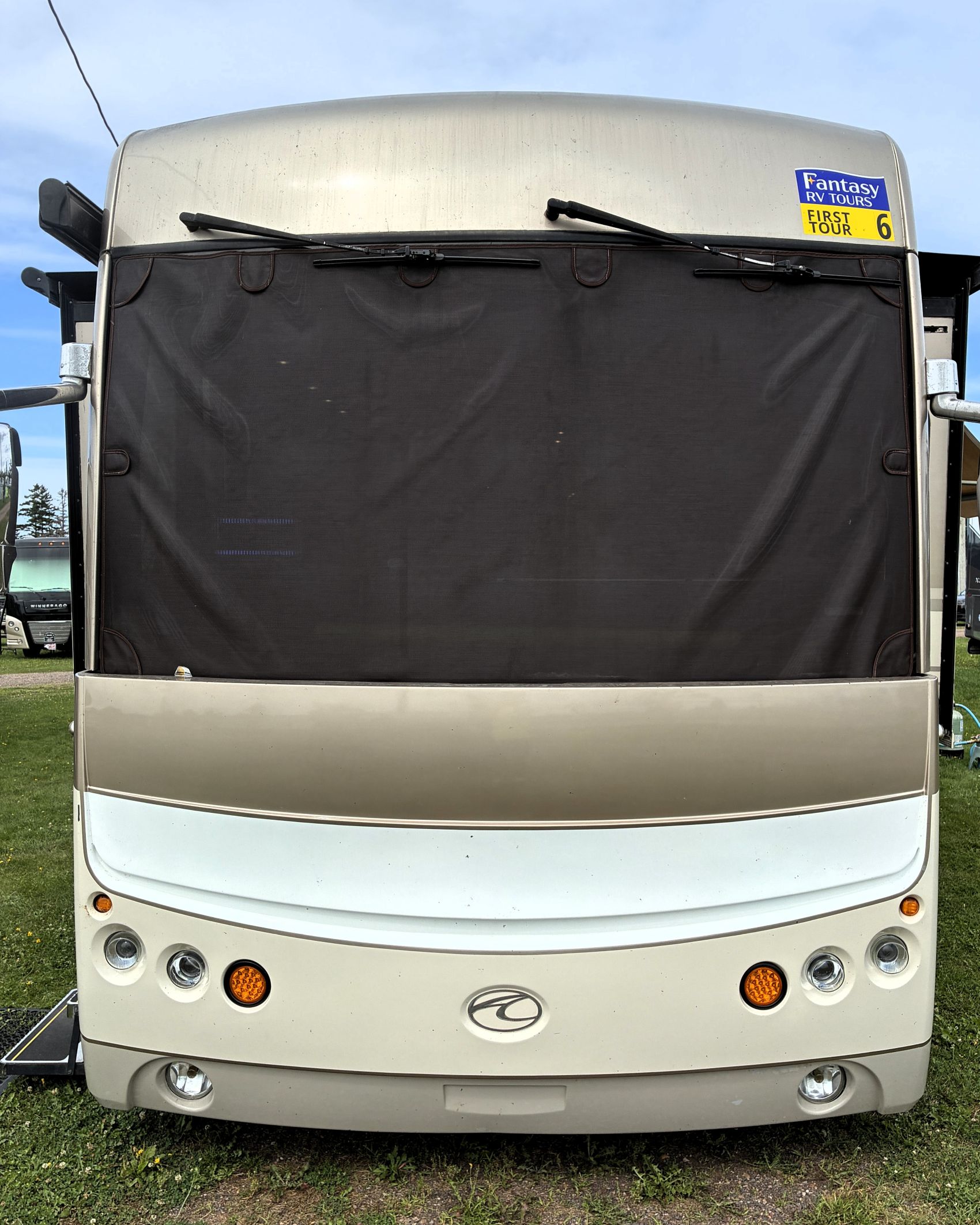
While still at the Narrows Too Campground in Trenton, ME, we met up with our Fantasy RV caravan group on July 19th. There were 42 of us altogether with 24 rigs. Each rig was assigned a number – Acey was number 6 – and “First Tour” was added to our number, since this was our first tour with Fantasy. (NOTE: This post got more detailed than intended… please don’t miss the video of the whale watching!)
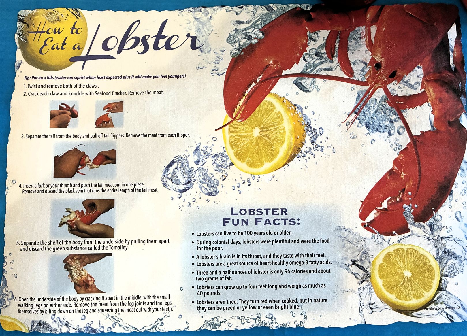
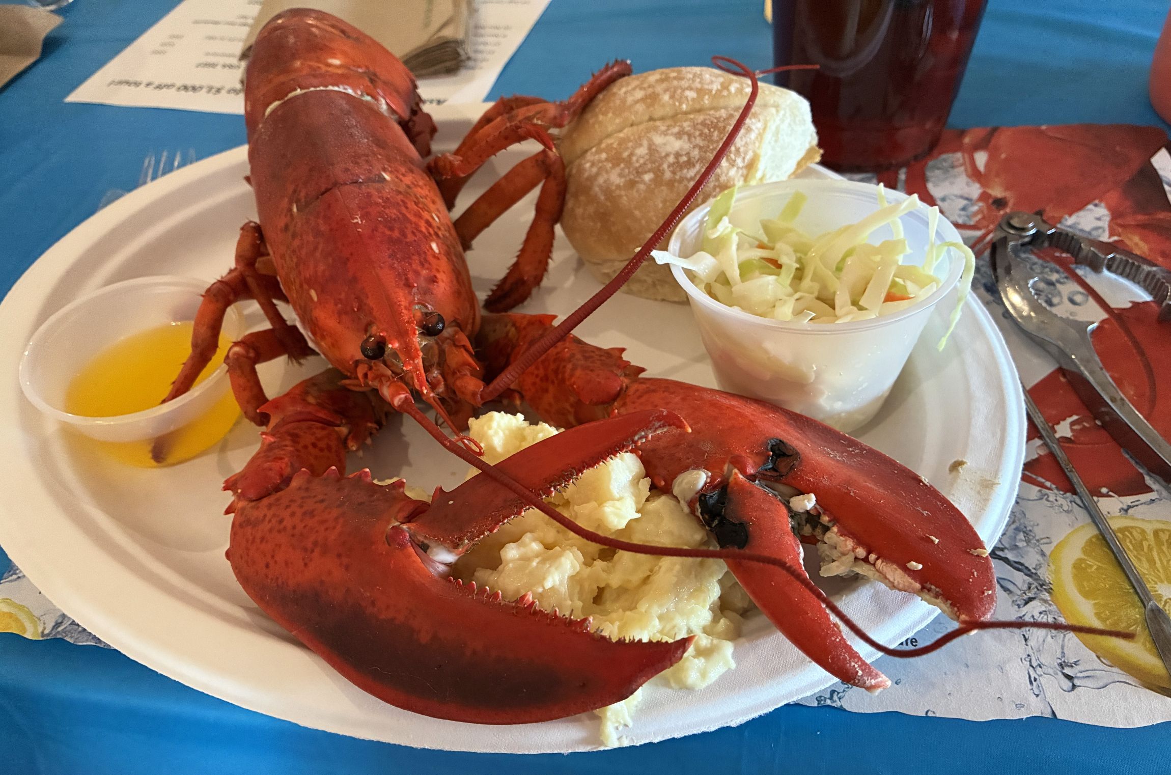
We had a delicious WHOLE Maine lobster dinner at the campground that night! (Though a few chose the easier option of a roasted chicken dinner.) The placemats had instructions on how to eat the lobster – and some fun facts about lobsters!
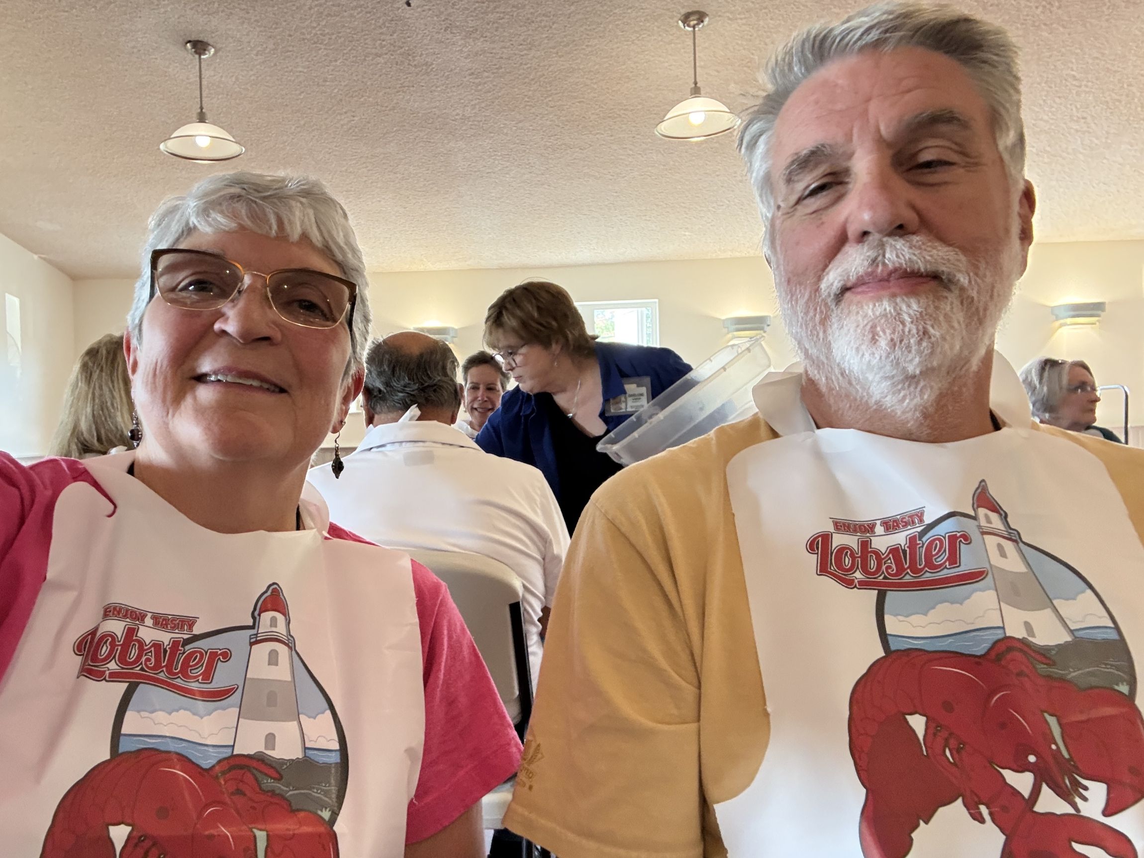
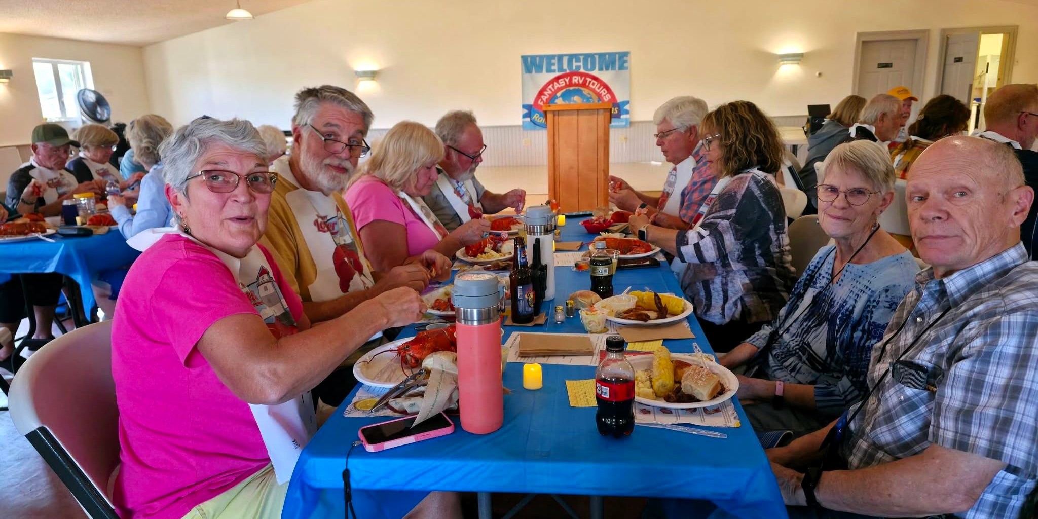
And we got bibs – indicating it may be a messy task ahead of us!
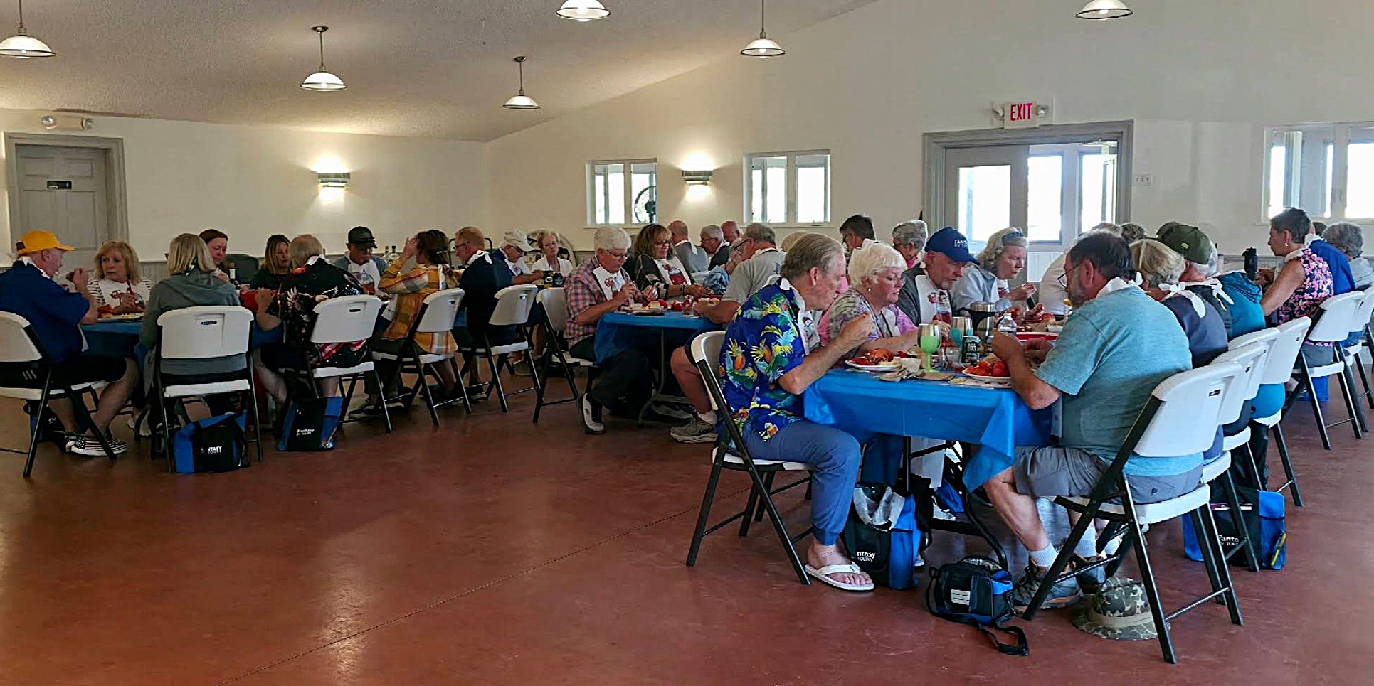
And dinner was served! (It was a messy ordeal – but very tasty)
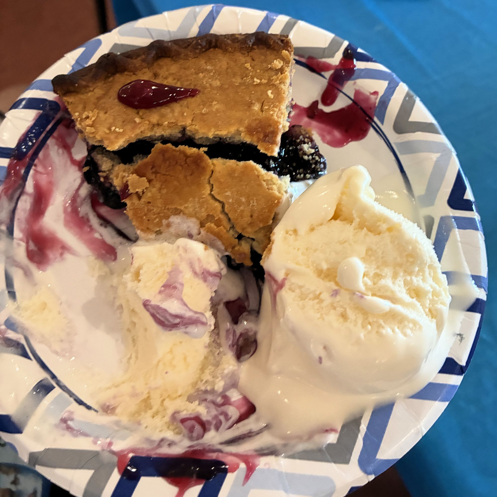
We were served blueberry pie ala mode for dessert!
After dinner we had our first Travel Briefing. Our leaders went over the Trip Log (detailed directions to the next campground), instructions to use our walkie talkies to communicate with the Tailgunners when we leave the campground and with the Wagonmasters when we arrive at the new campground.
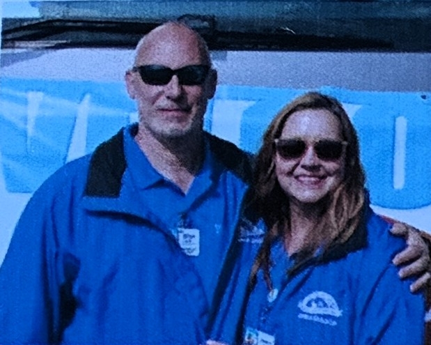
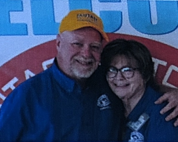
Here are our Fantasy Ambassadors; Steve and Jen, our Wagonmasters / Curtis and Darlene, our Tailgunners.
We were given information about what we will do at the next destination – with the group and options for things to do on our own. They also gave us instructions on crossing the border into Canada. We could already see this was much better planning than we had with the group that led our Alaska Caravan in 2022!
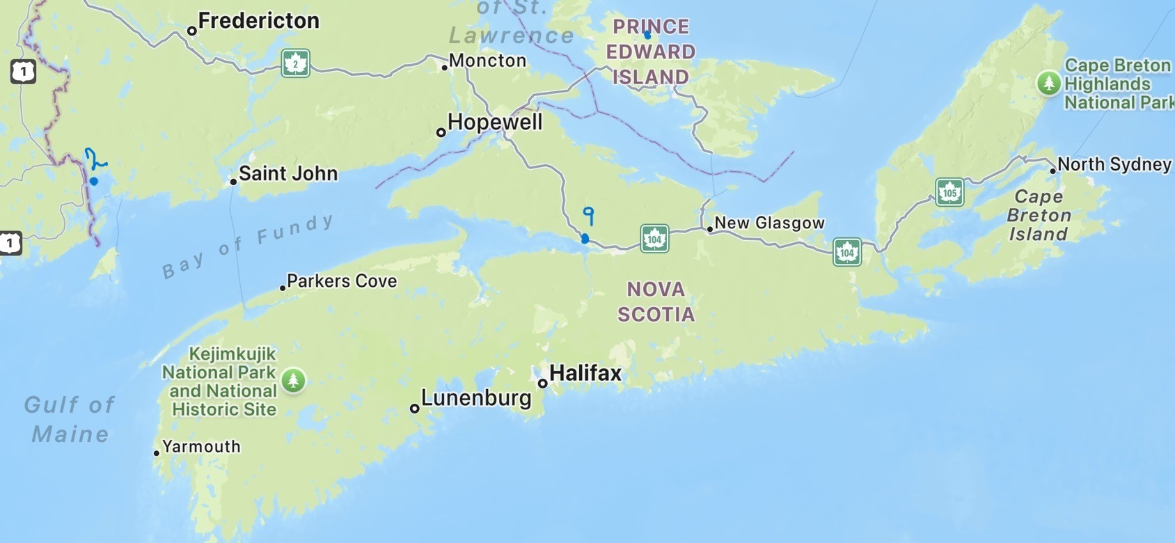
We began our 27-day adventure with this group to see “The best of the Canadian Maritimes”. Here is a map of where we will be going! The route 1 sign is right on top of our starting point in Maine, then #2 indicates St Andrews, NB, then to Saint John, NB; Hopewell Cape, NB; Parkers Cove, NS; Lunenburg, NS; Halifax, NS; (9) Elm River, NS and finally, Cavendish on Prince Edward Island.
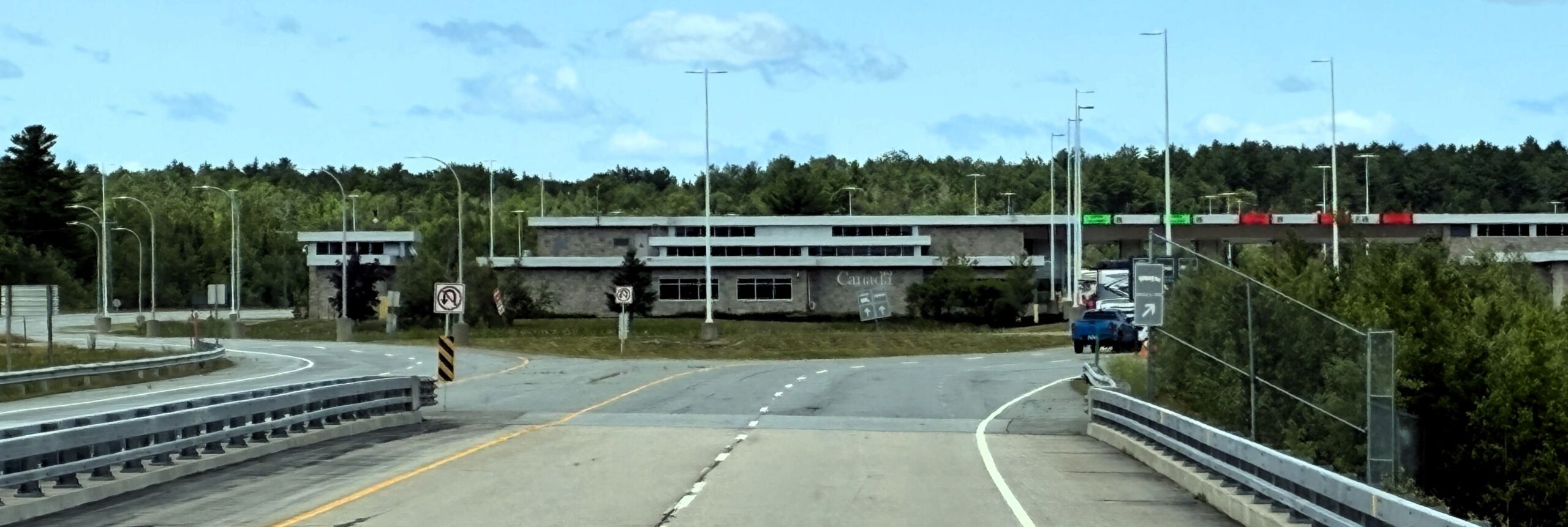
We left Trenton, ME at 8:20 on July 20 with 112,596 miles on Acey and 145,082 on Thor. We crossed the border into Canada and fortunately none of our group encountered any problems getting thru Canadian Customs. We made sure not to bring any fresh fruits and vegetables, eggs, fresh raw meat, carried no more than the allowed amount of alcohol, no guns, no cannabis or tobacco, no plants; had our passports ready along with registrations for the tow car and motorhome (and those with pets needed proper papers…) Our Fantasy Ambassadors were very informative about being prepared!
We followed the Trip Log so that we all drive the exact same route. Our Wagon Masters left at 8 and the rest of us left after they did – with the Tail Gunners leaving at 10am, after the last of the group departed. That way the Tail Gunners can be sure that anyone encountering problems will not be left behind; and they will do their best to assist them if a problem arises.
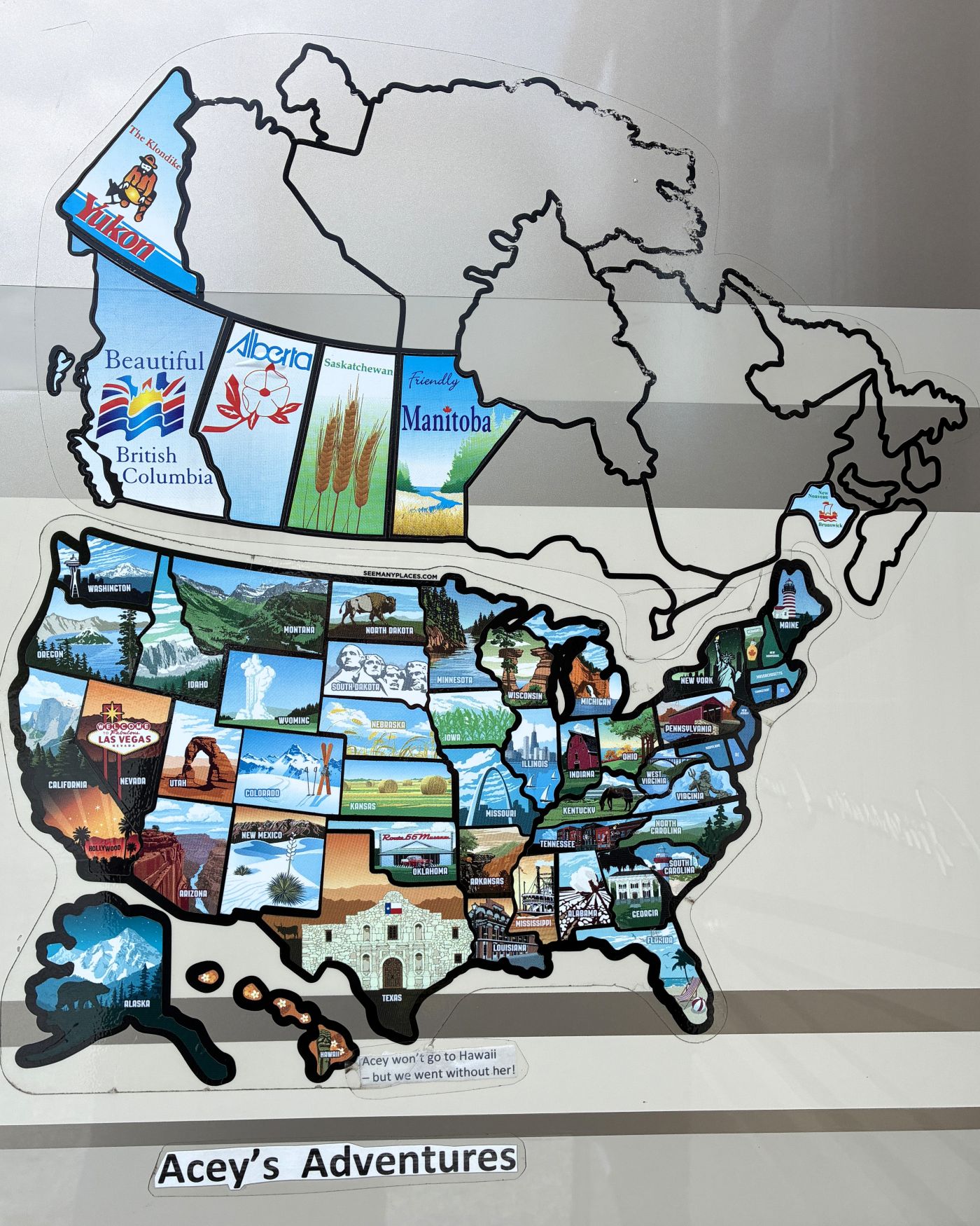
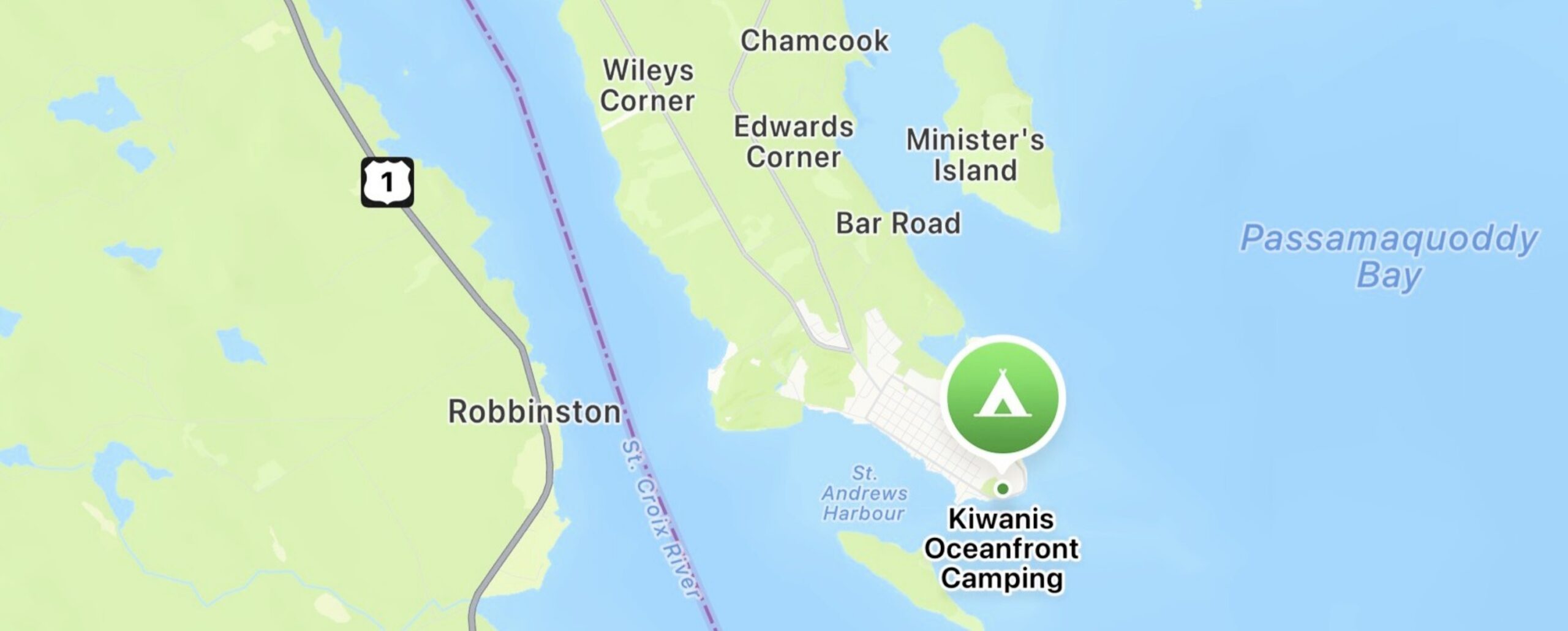
We arrived at Kiwanis Oceanfront Camping in Saint Andrews, New Brunswick at 1:05pm Atlantic Time and got set up and added New Brunswick to our map.
Our campsite faced the water and we could see Maine across the river/bay.
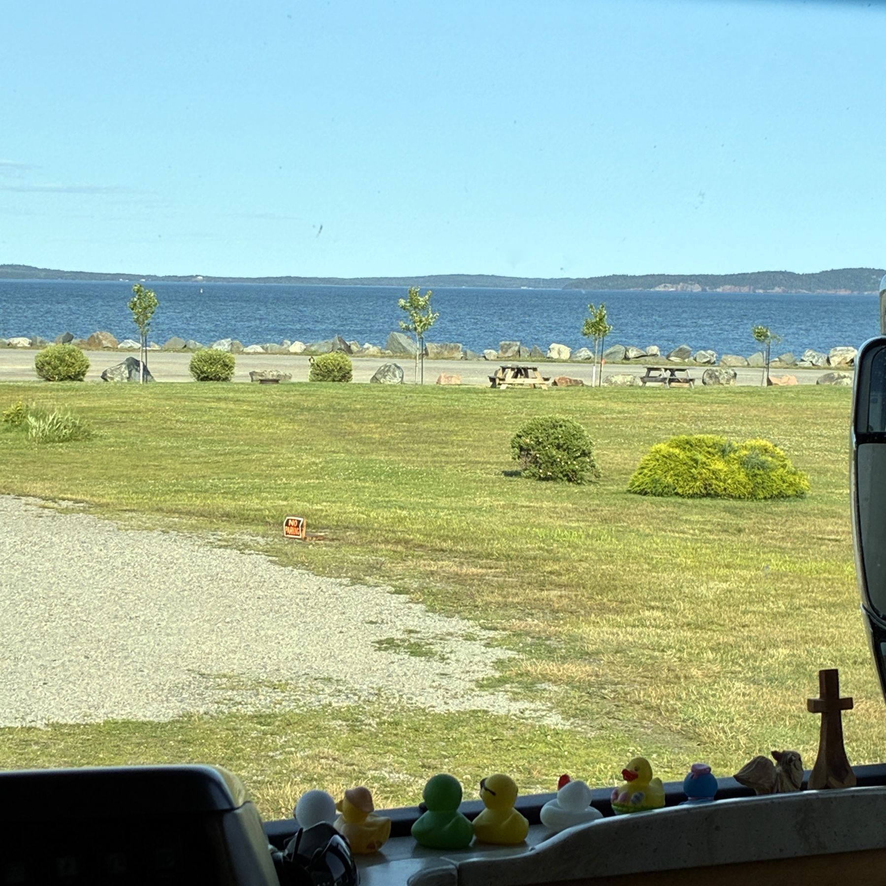
Actually, our watches and phones couldn’t figure out what time it was because New Brunswick is on Atlantic Time and Maine is on Eastern Time and as we moved about, the time changed!
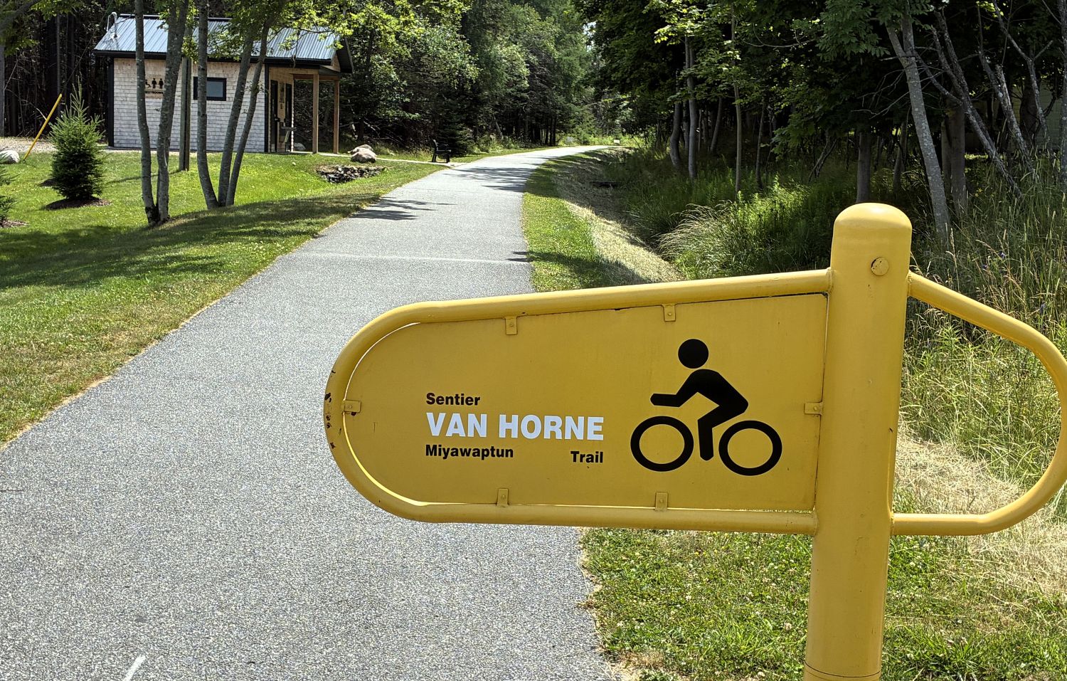
We went for a bike ride from the campground to the Van Horne Trail and rode into town.
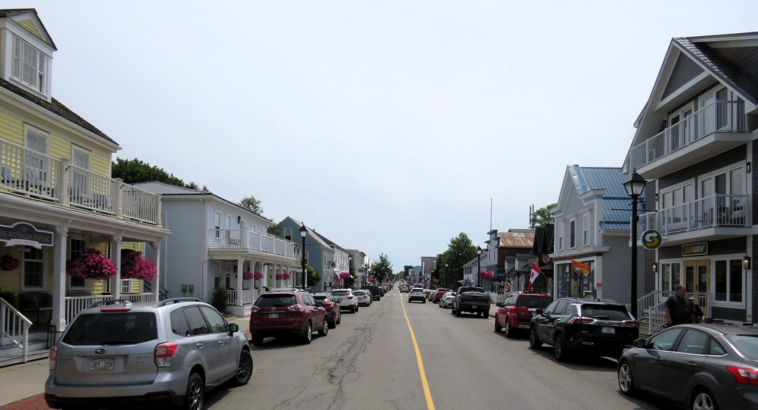
We got groceries to replace the fresh fruits and vegetables that we couldn’t take over the border. After dinner we gathered informally around a campfire to chat and meet with our fellow travelers.
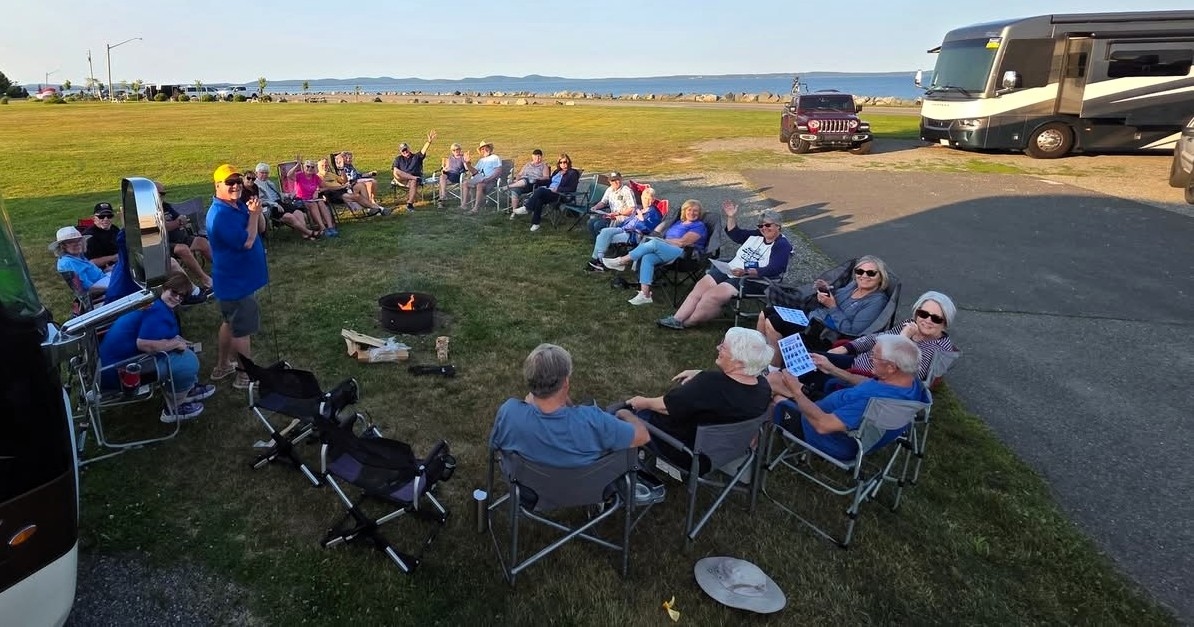
We had a full day on July 21 and it was our 47th wedding anniversary! We started off with a bus tour at 9:15. Before we boarded the bus, we chose a playing card; red indicating we sit on the right side, black the left side. We chose the 10 of clubs, so we sit in the 10th seat back on the left side. Whoever gets the best poker hand at the end of our caravan wins a prize! Our tour guide referred to this area as St. Andrews-by-the-sea and gave us some history of the area before our ride began. She indicated that the campground that we were staying at is the oldest campground in Canada; the Mi’kmaq people (pronounced MIG-mah) lived here many years ago, and members of this Indigenous group still live in the Maritimes.
She also mentioned that many people from Castine, Maine brought their homes across the Penobscot River, floating them on barges. They had to relocate them up the bank because of the large tides here from the Bay of Fundy – the water can rise as much as 25 feet!
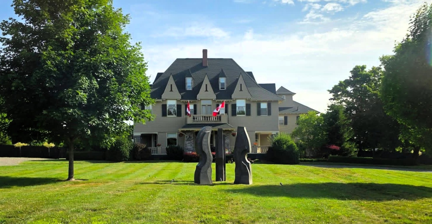
This area claims to be Canada’s premier seaside resort – The Algonquin Resort, opened in 1889, was one of Canada’s first seaside resorts. Each room originally had 4 taps – 2 for sea water, 2 for fresh water! After a fire in 1914, the hotel was rebuilt. It was one of many luxury hotels along the rail line that Sir William Van Horne was instrumental in building. Edward Maxwell, a close personal friend of Van Horne designed and built many homes in the area. So, we began our bus tour and passed by this home designed by Maxwell.
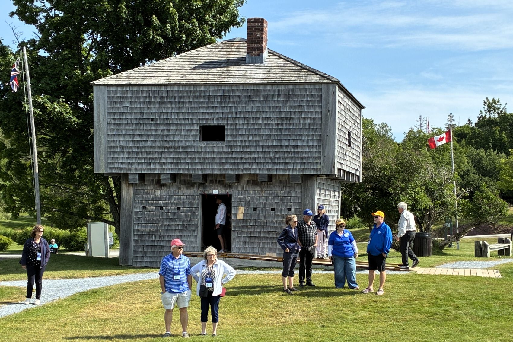
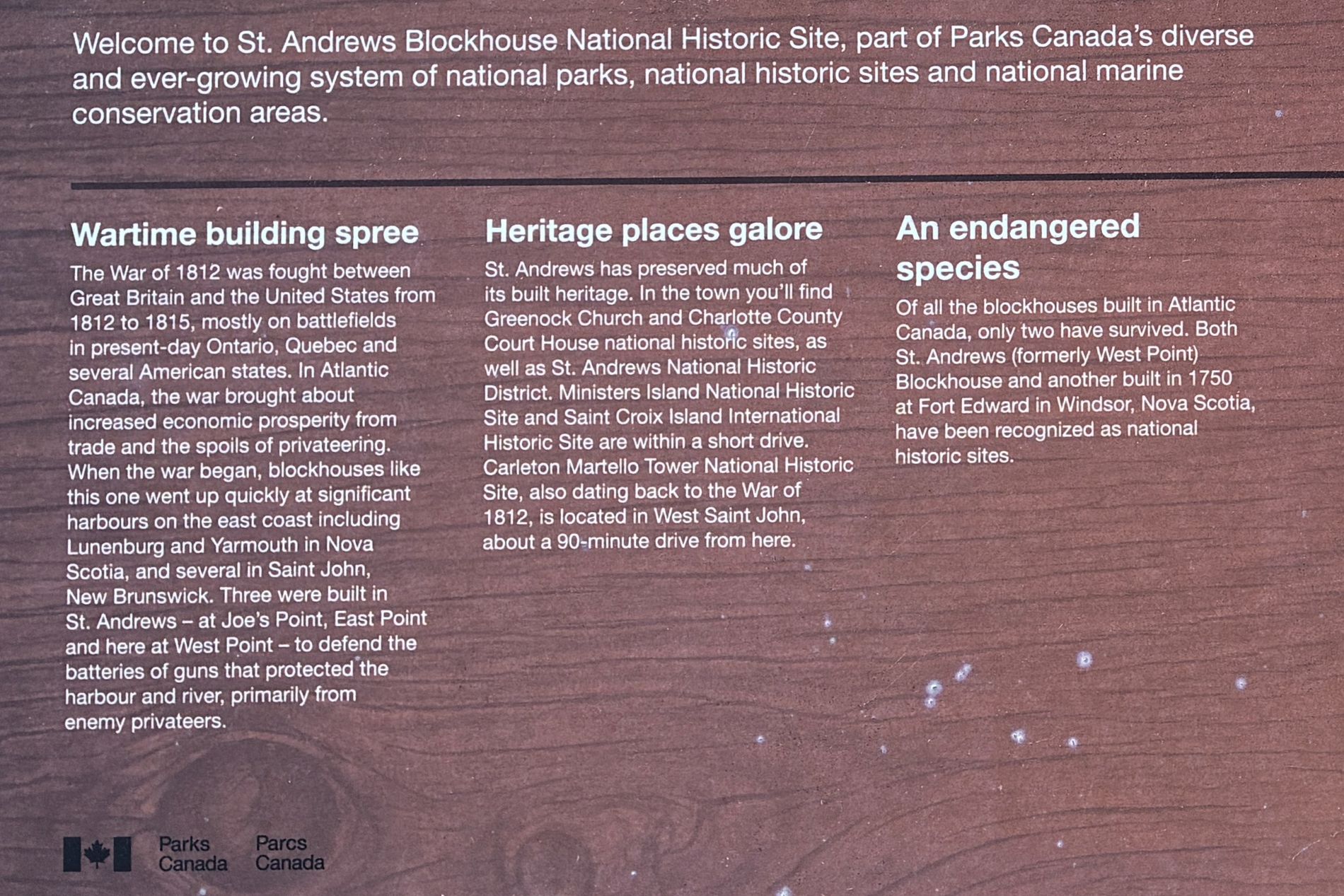
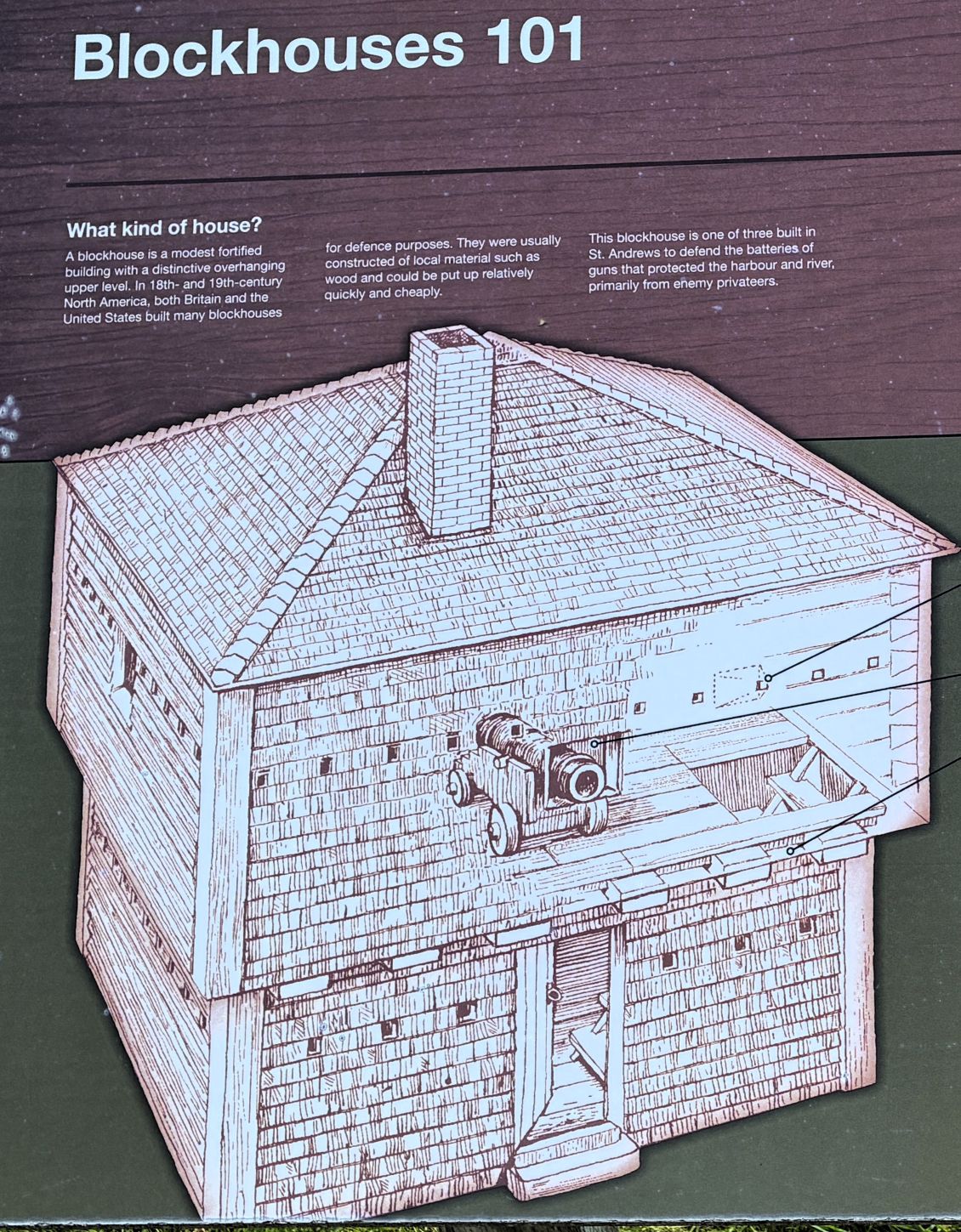
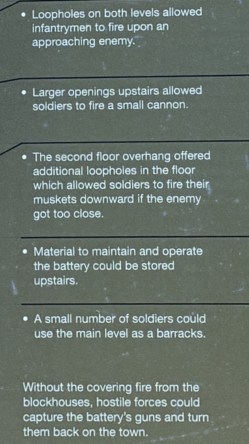
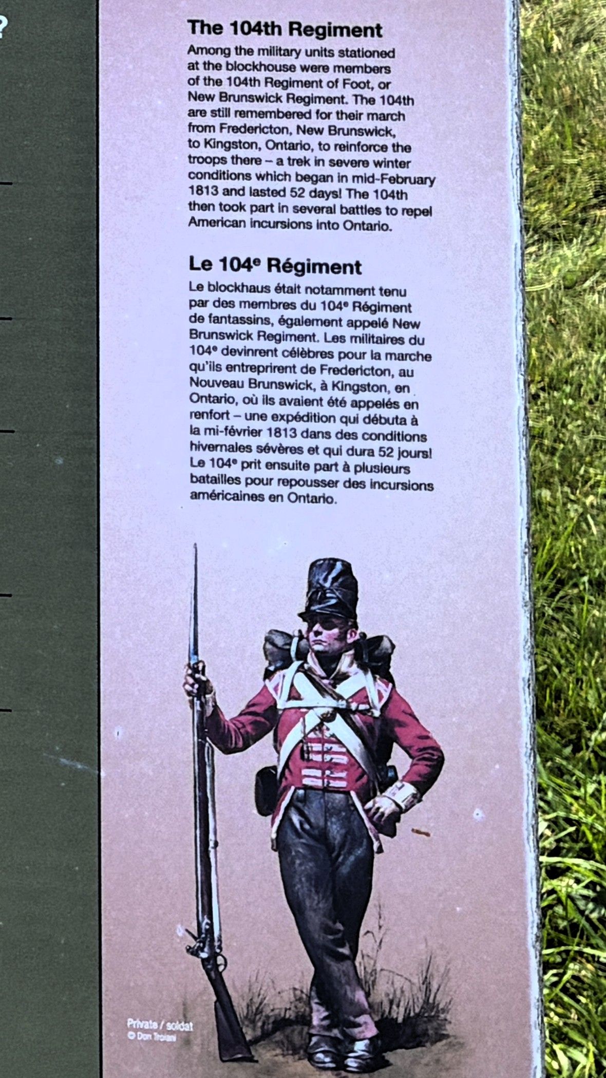
Our first stop was at the Blockhouse. There were 3 built in St. Andrews for defense purposes.
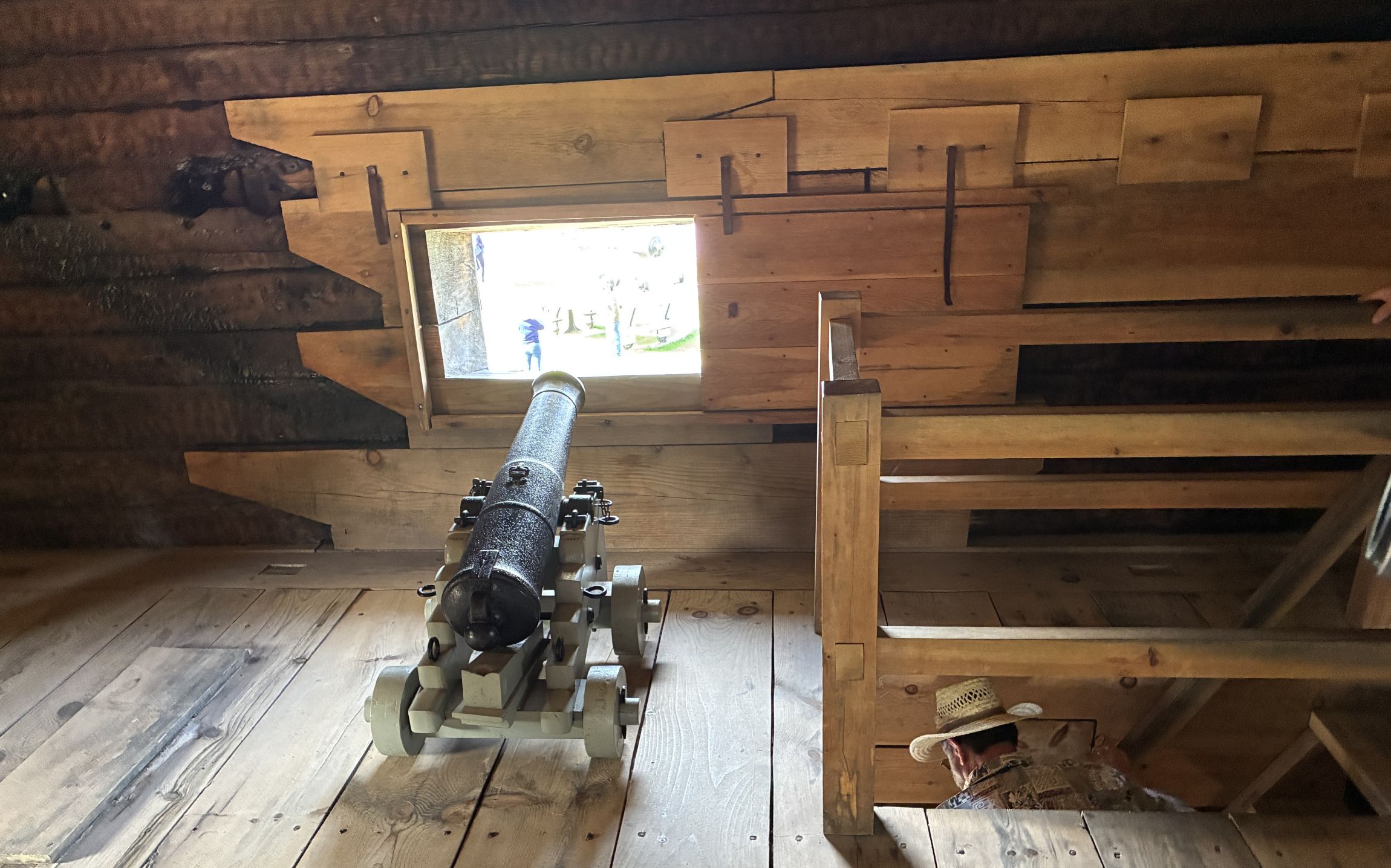
View from the Blockhouse.
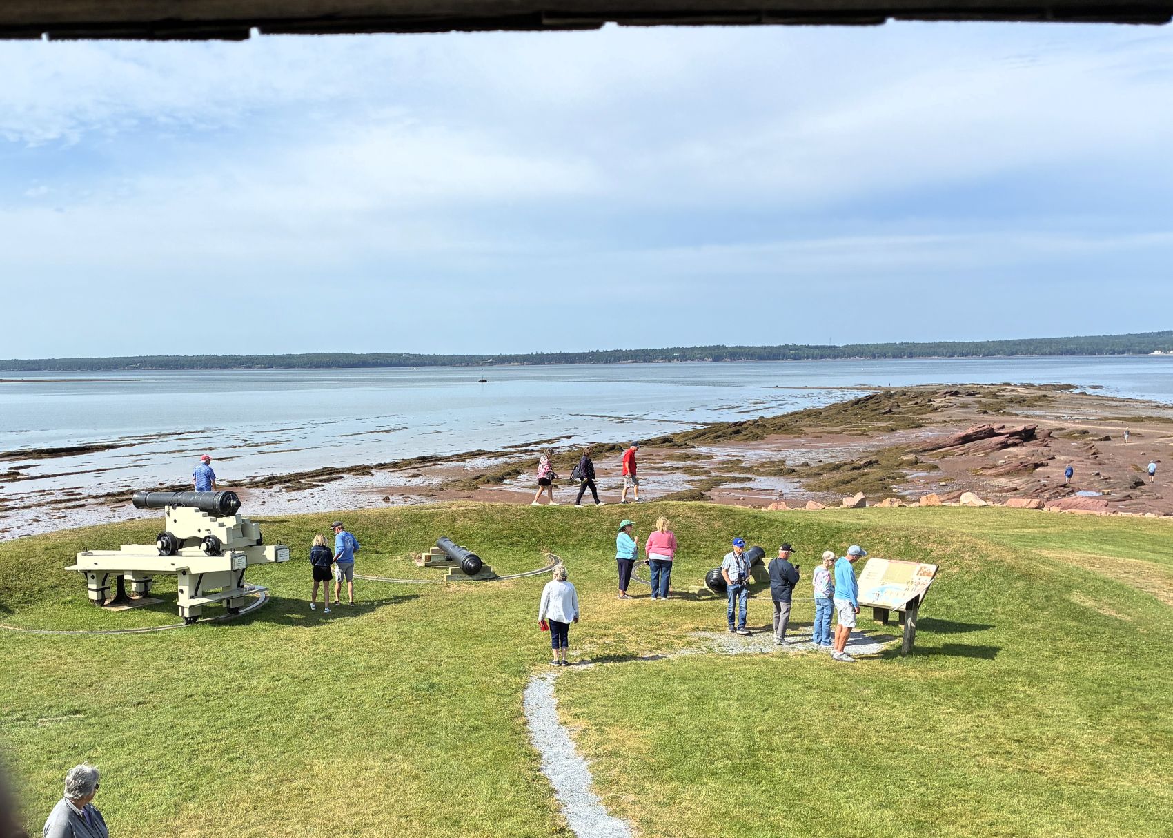
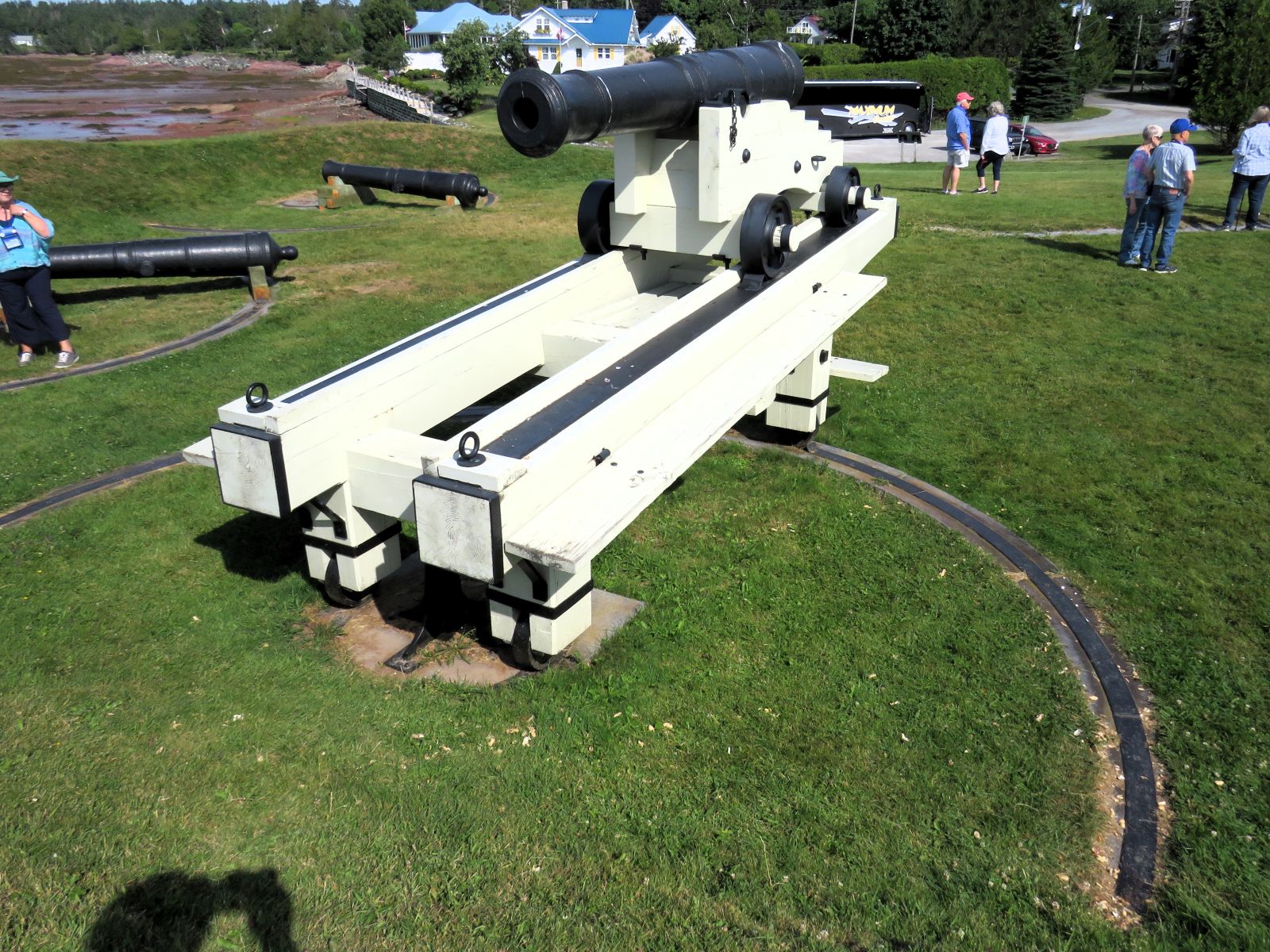
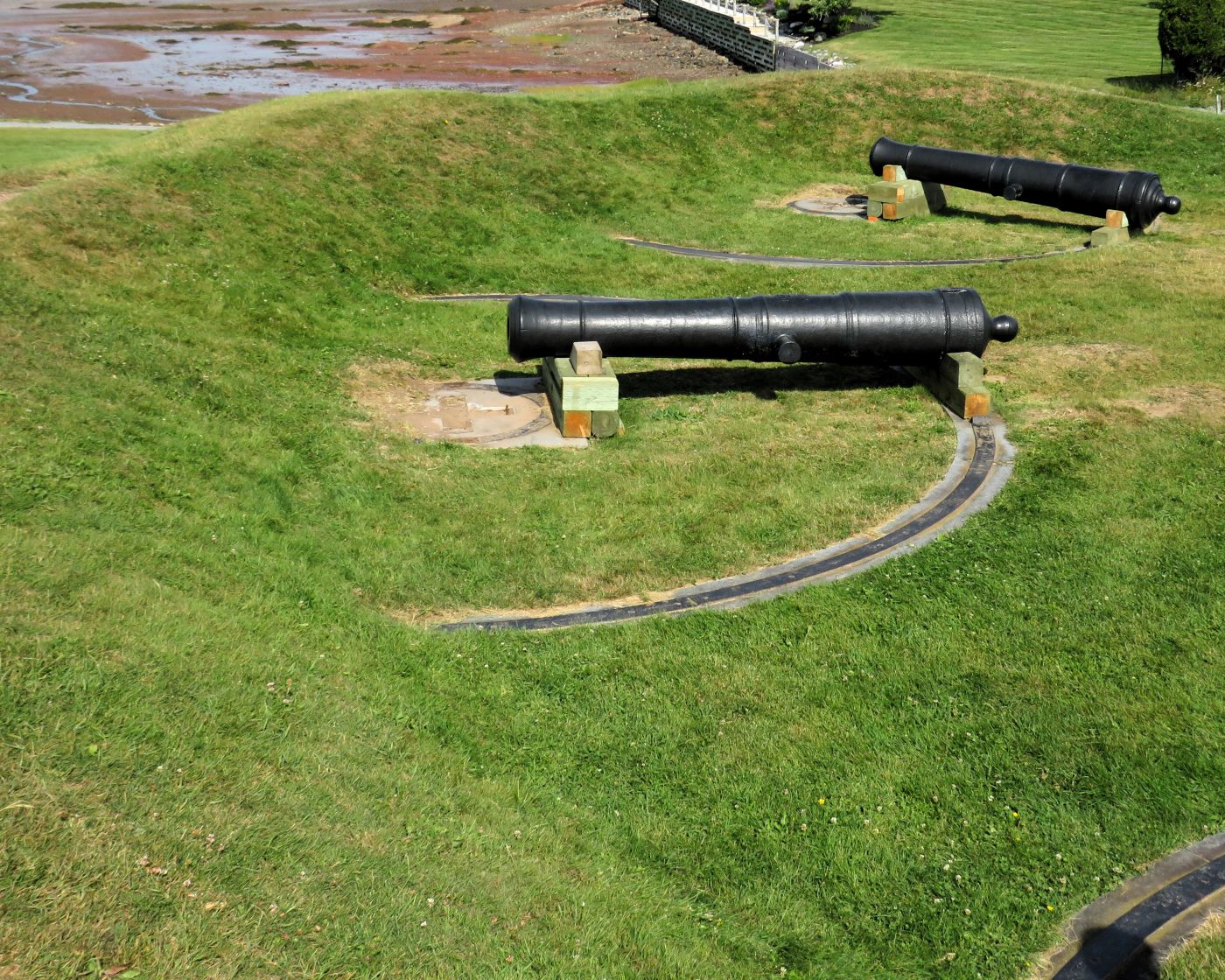
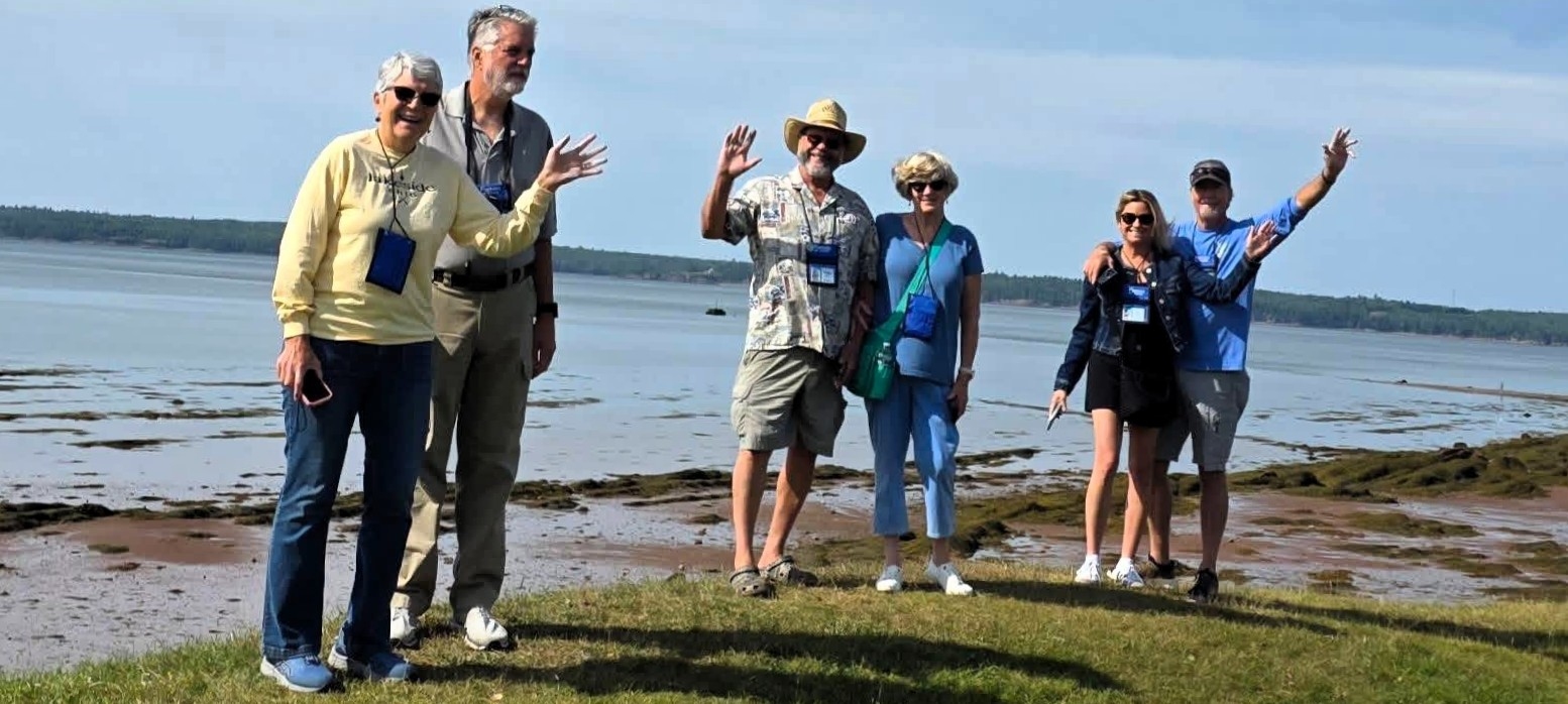
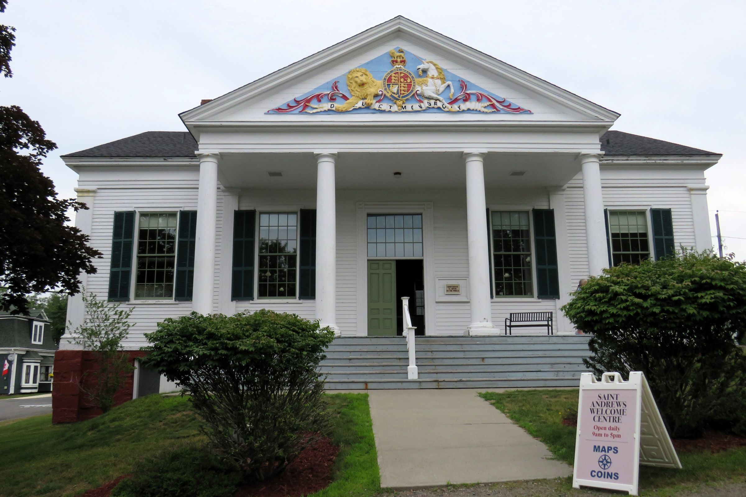
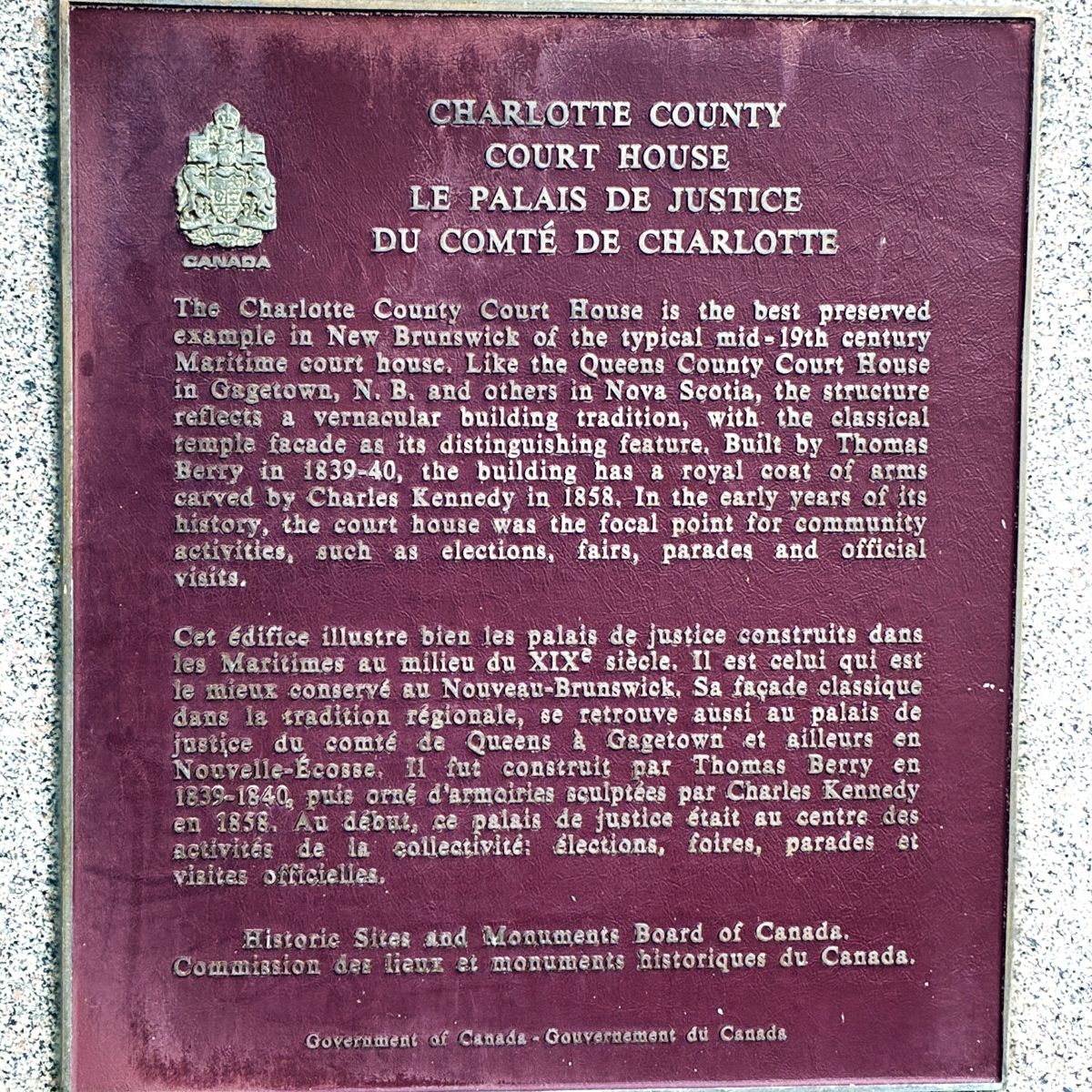
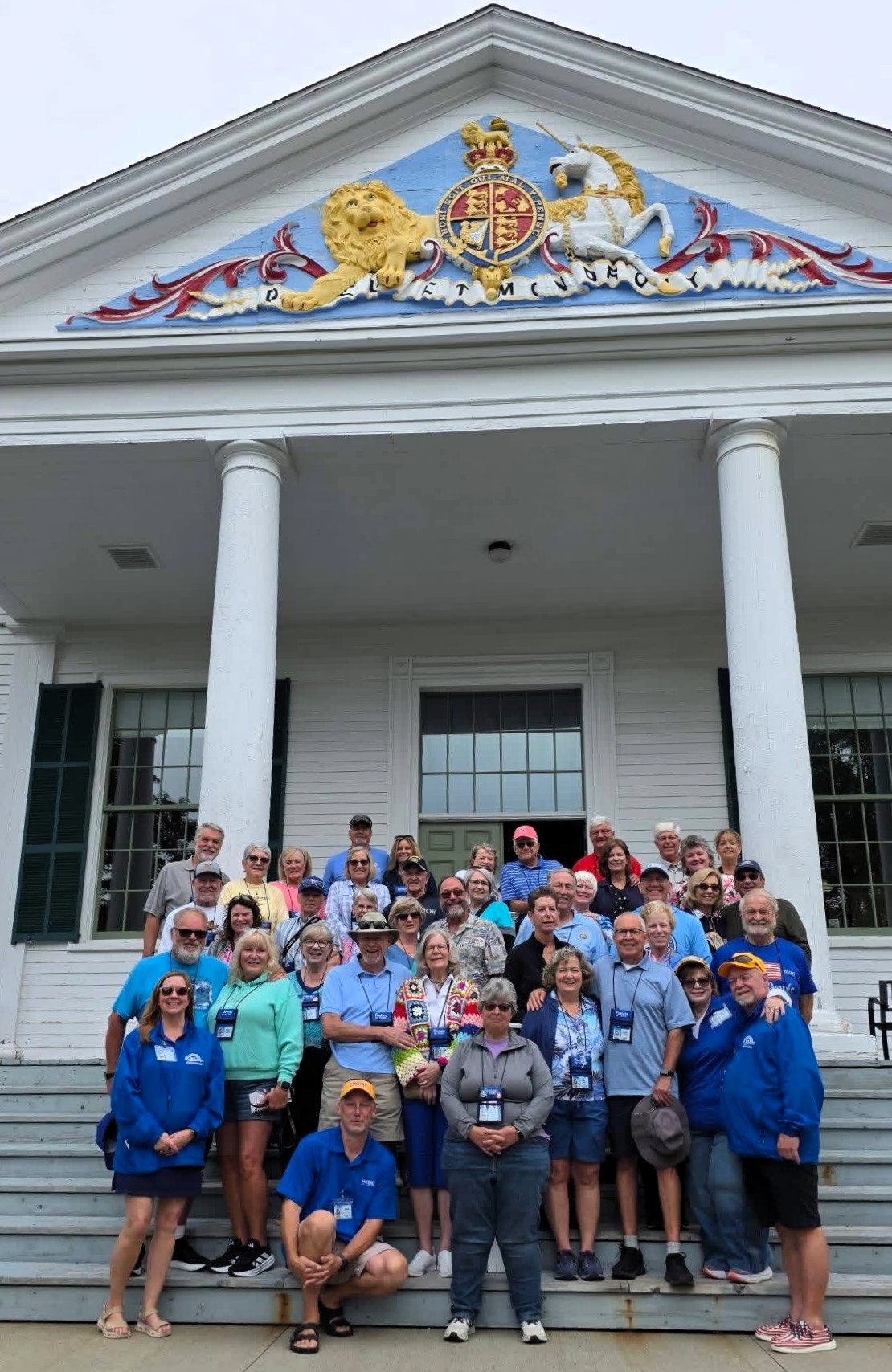
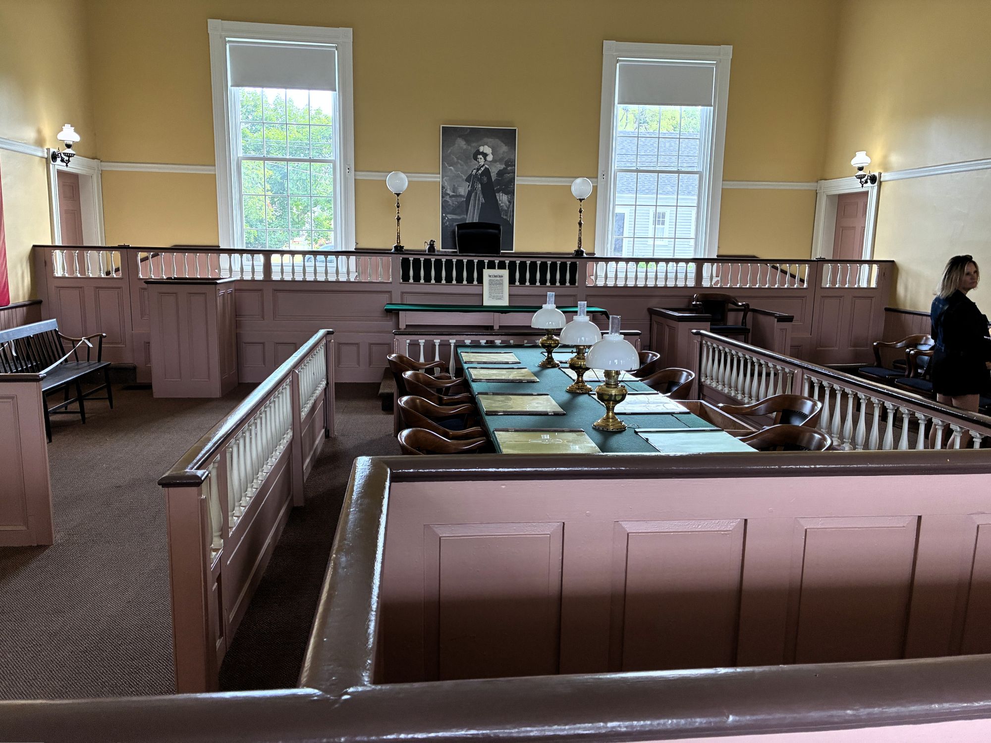
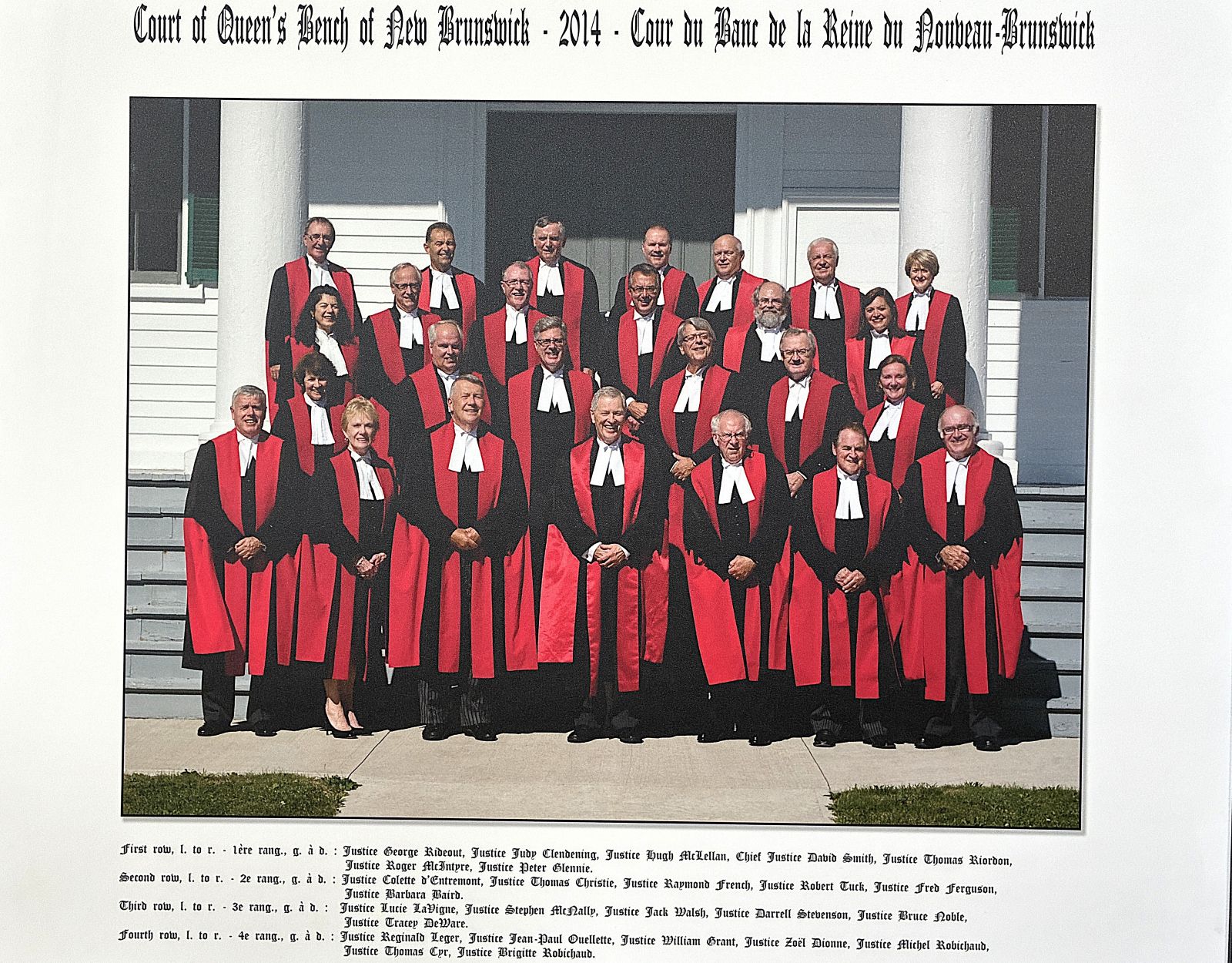
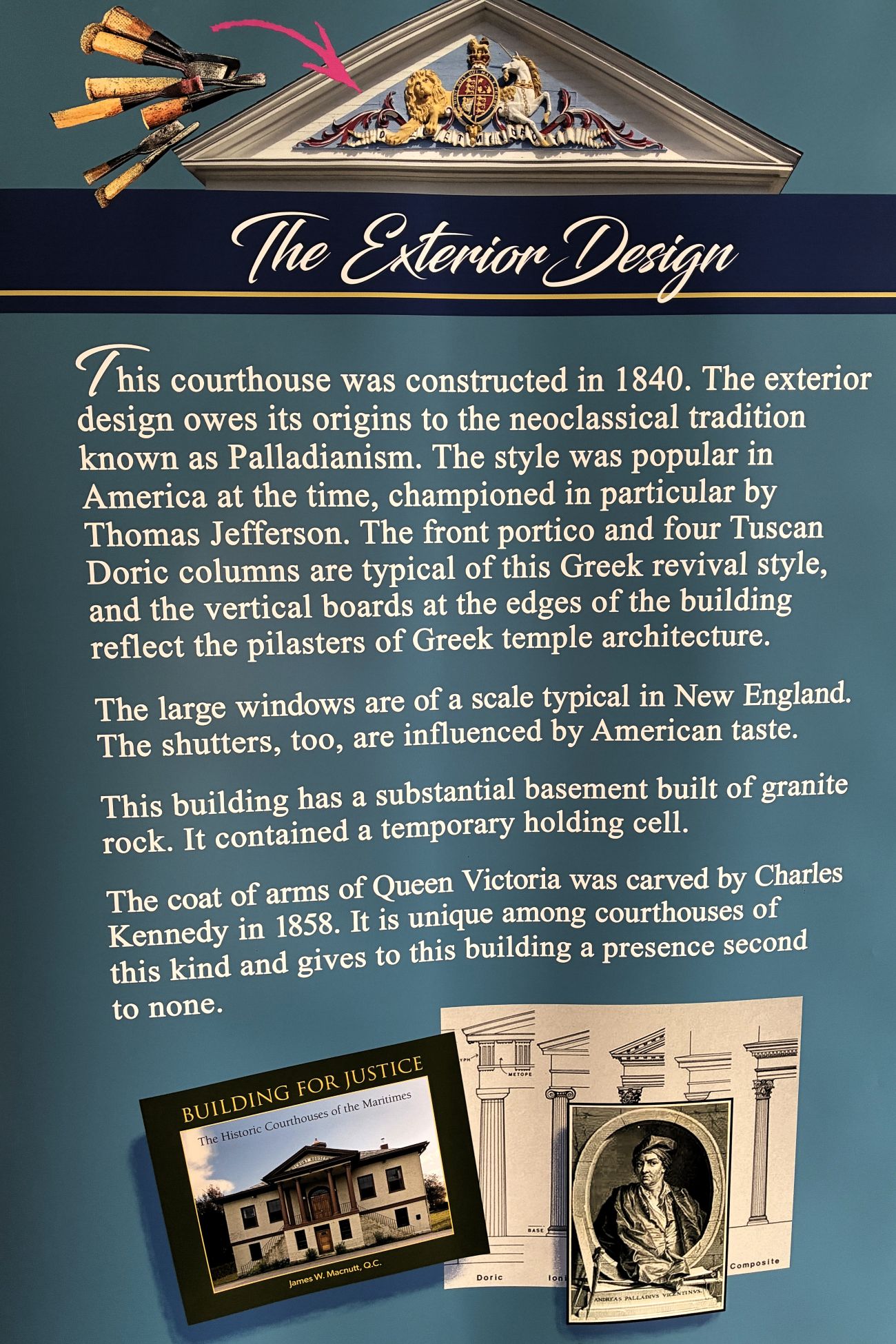
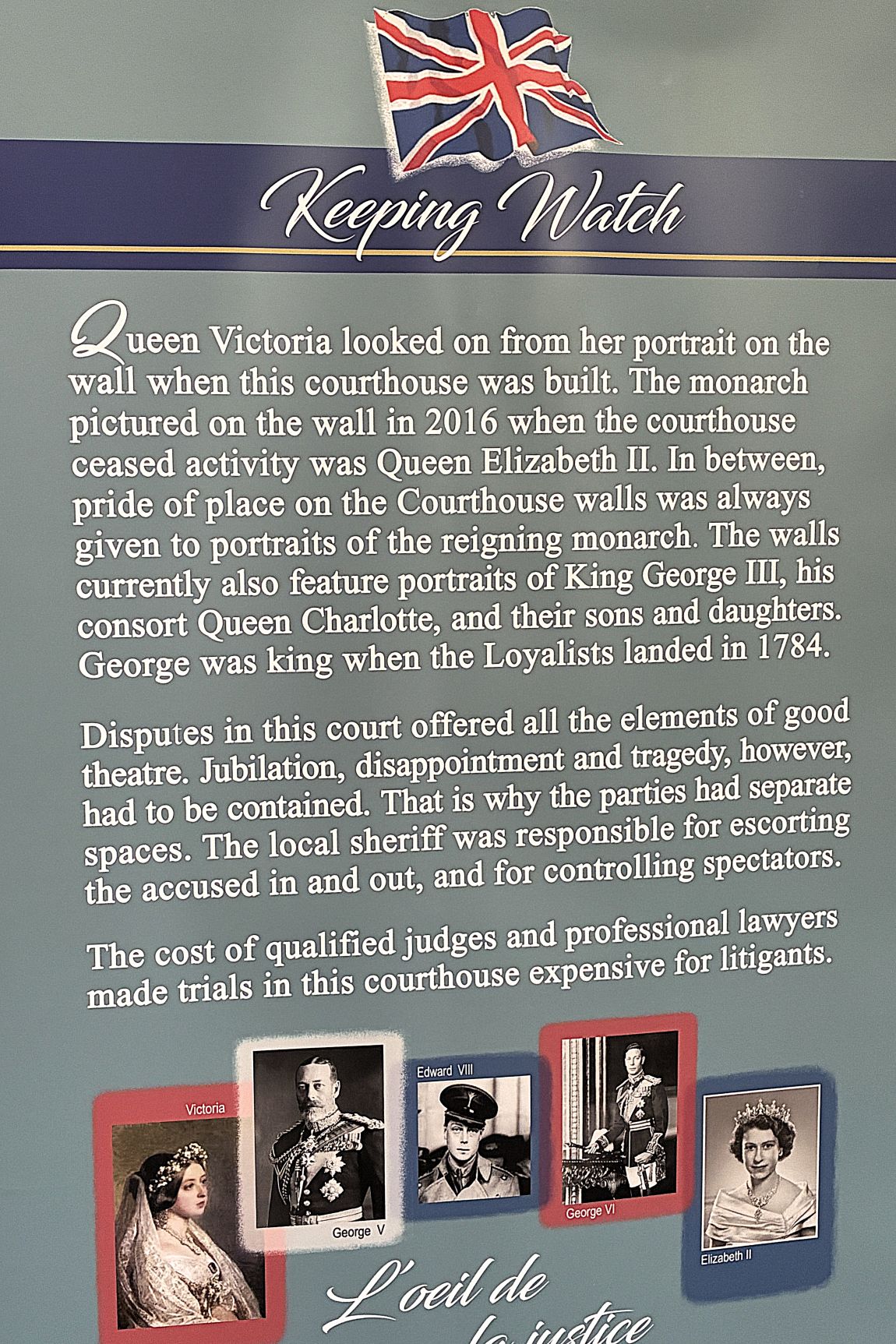
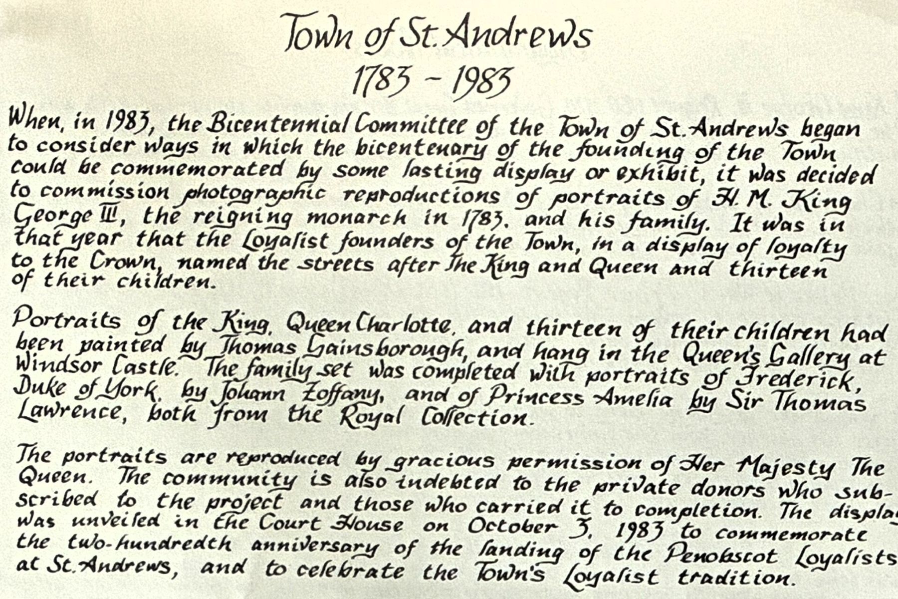
Our next stop was a visit to the Charlotte County Courthouse and the Old County Jail; first, we visited the Courthouse which is very British in presentation.
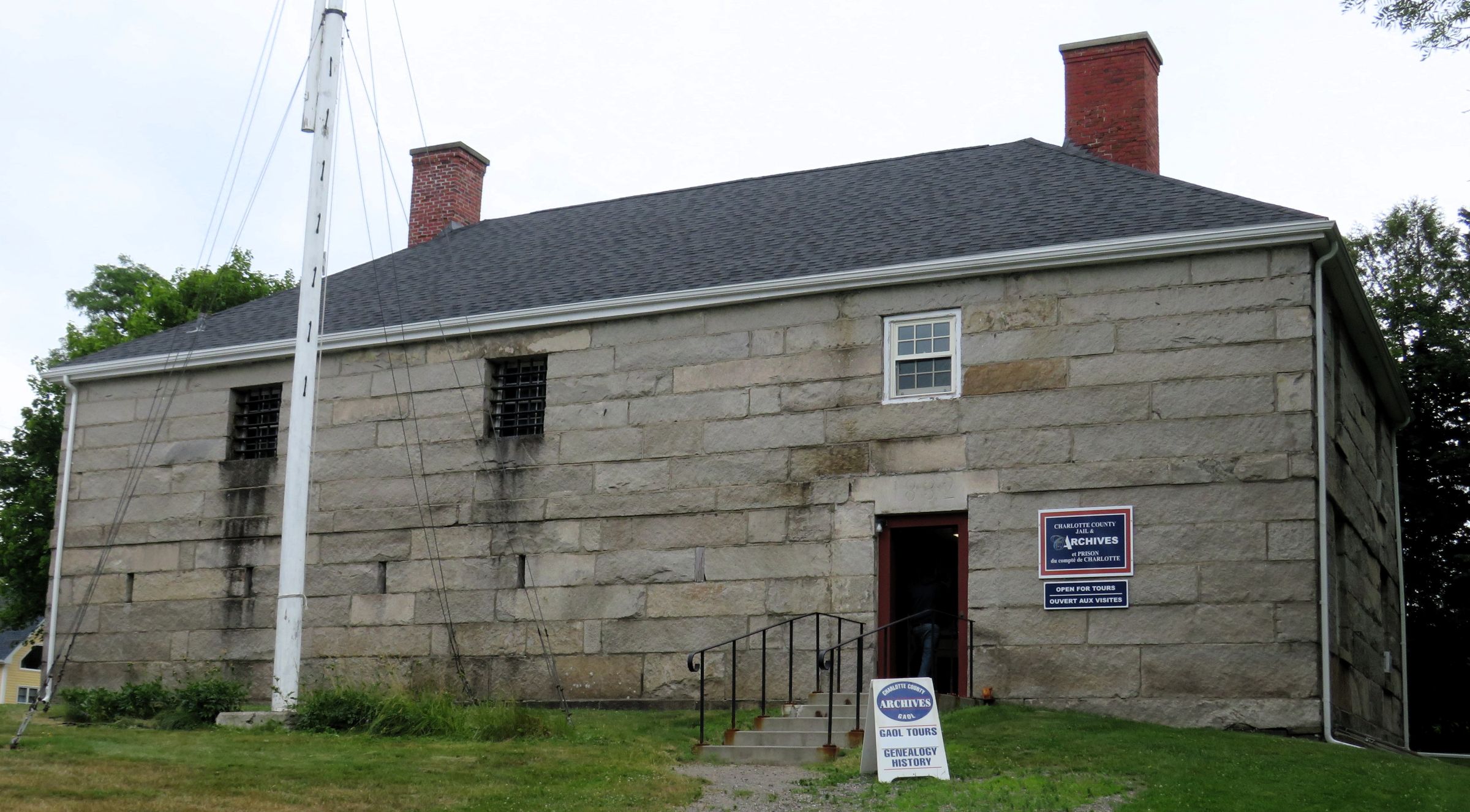
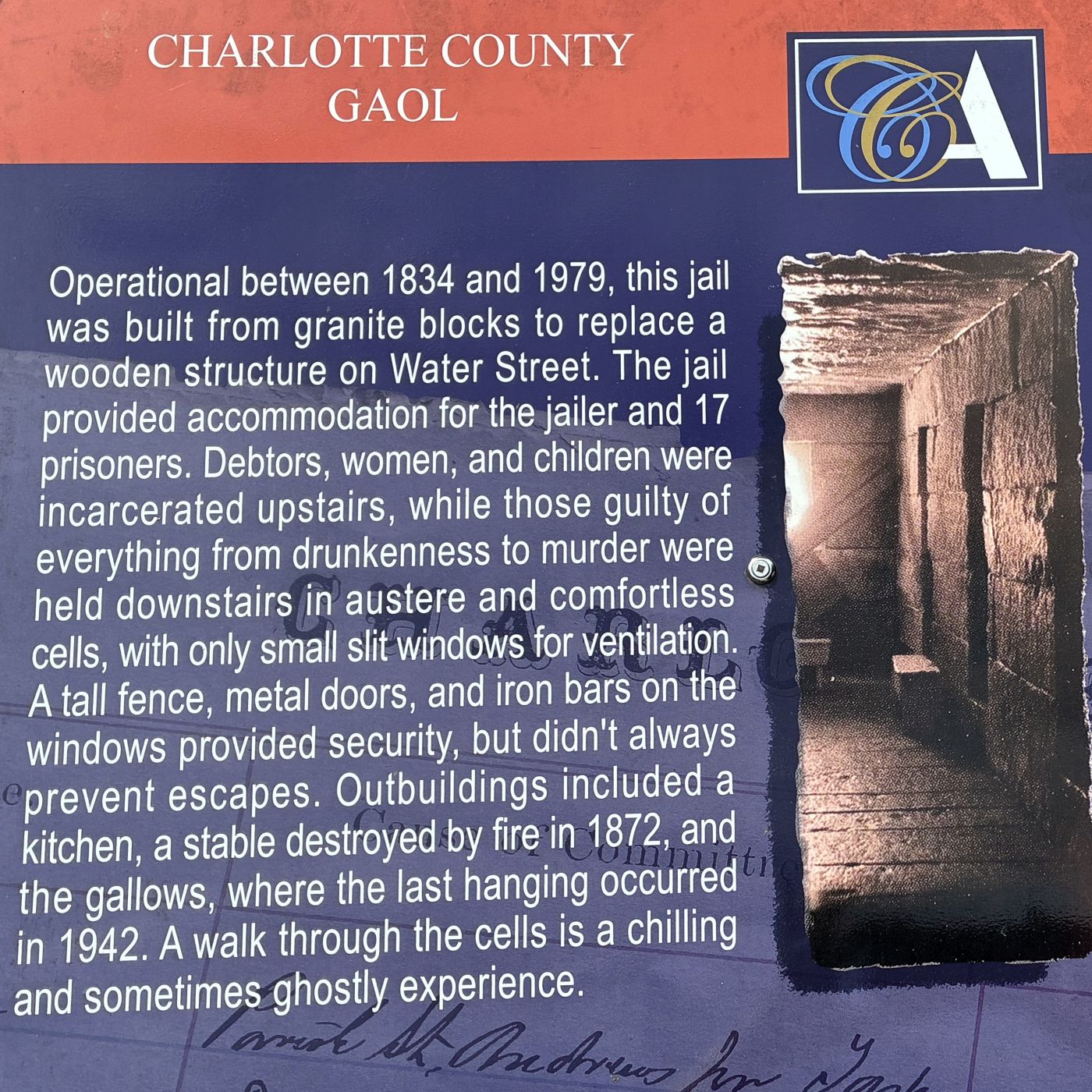
The Charlotte County Gaol (Jail) which was built in 1832 was in use until 1979. The granite walls of this historic jail held prisoners for crimes from truancy and debt to murder; and prisoners from WWI and WWII were also held there. The jail had very little heat and only tiny slots for windows in the cells. Very primitive! The upstairs, which we could not visit, was where the women and children were confined.
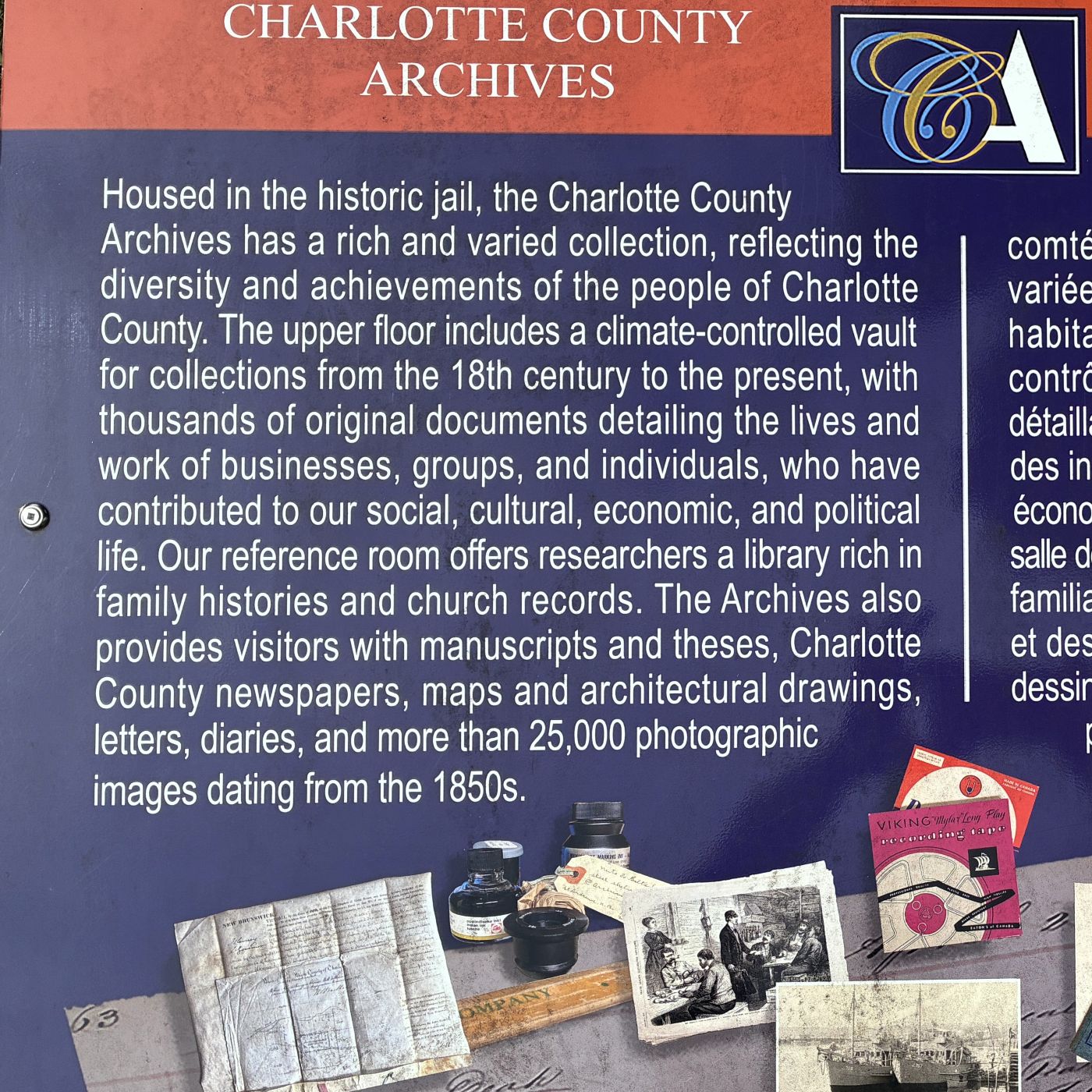
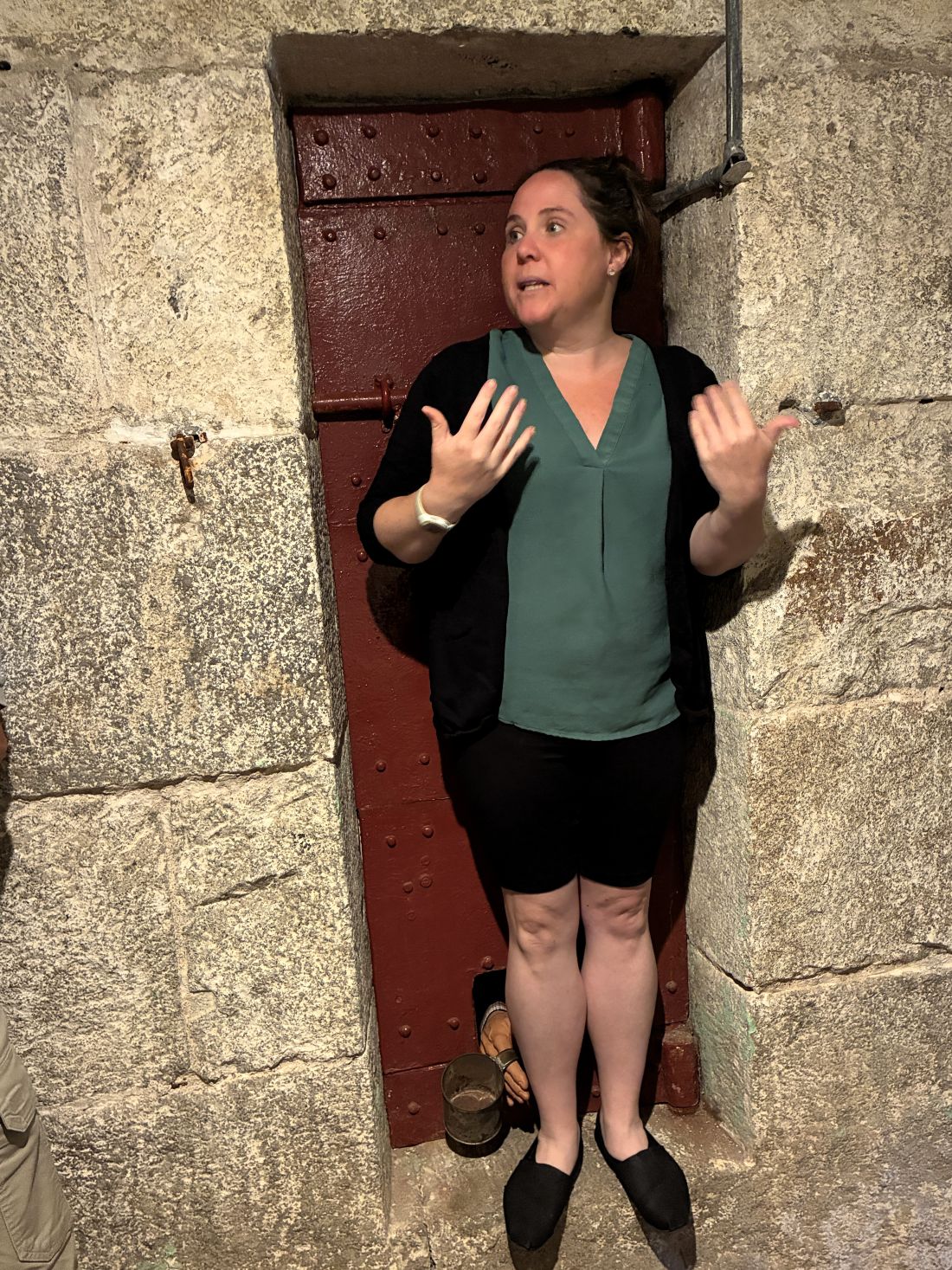
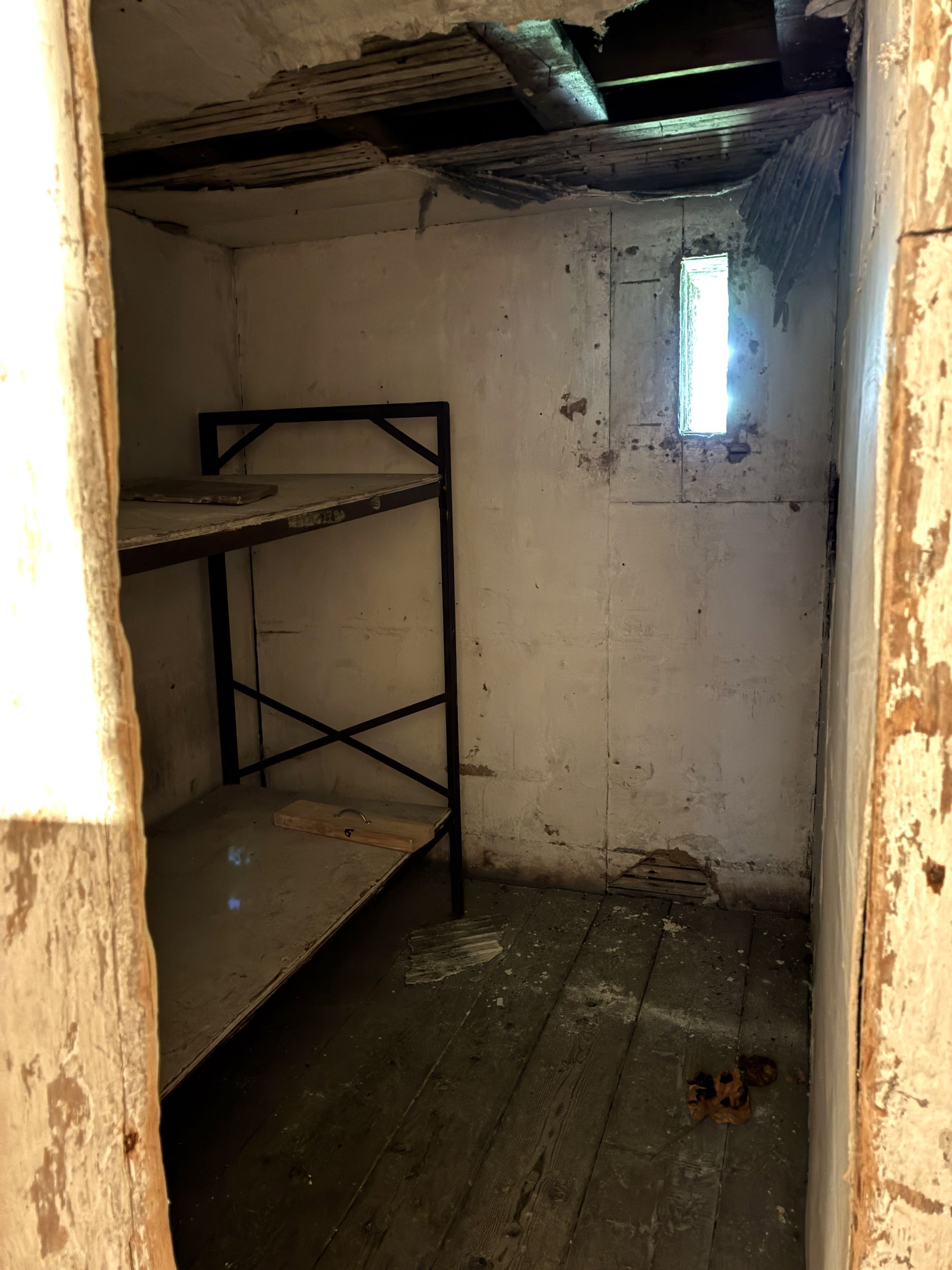
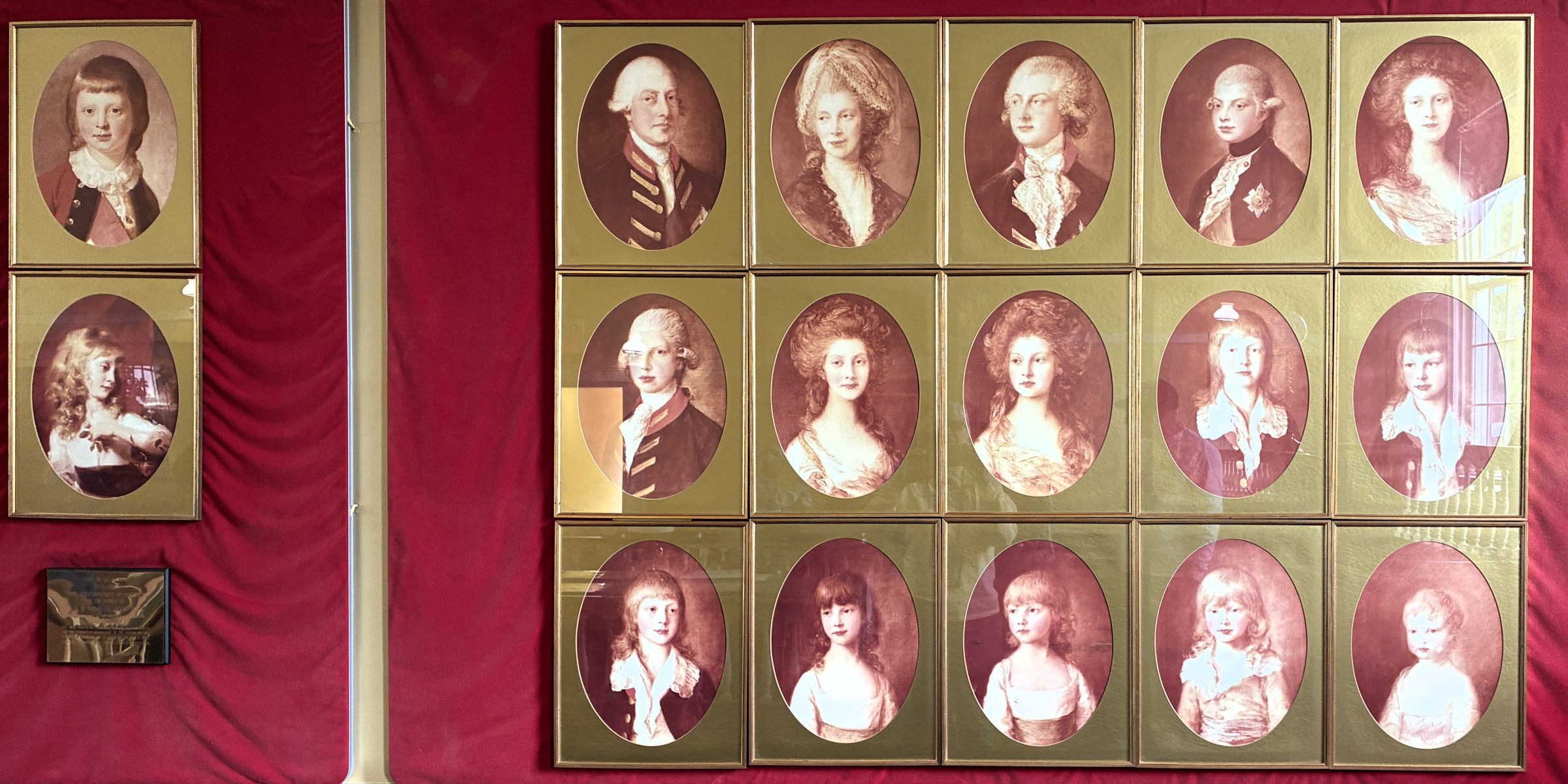
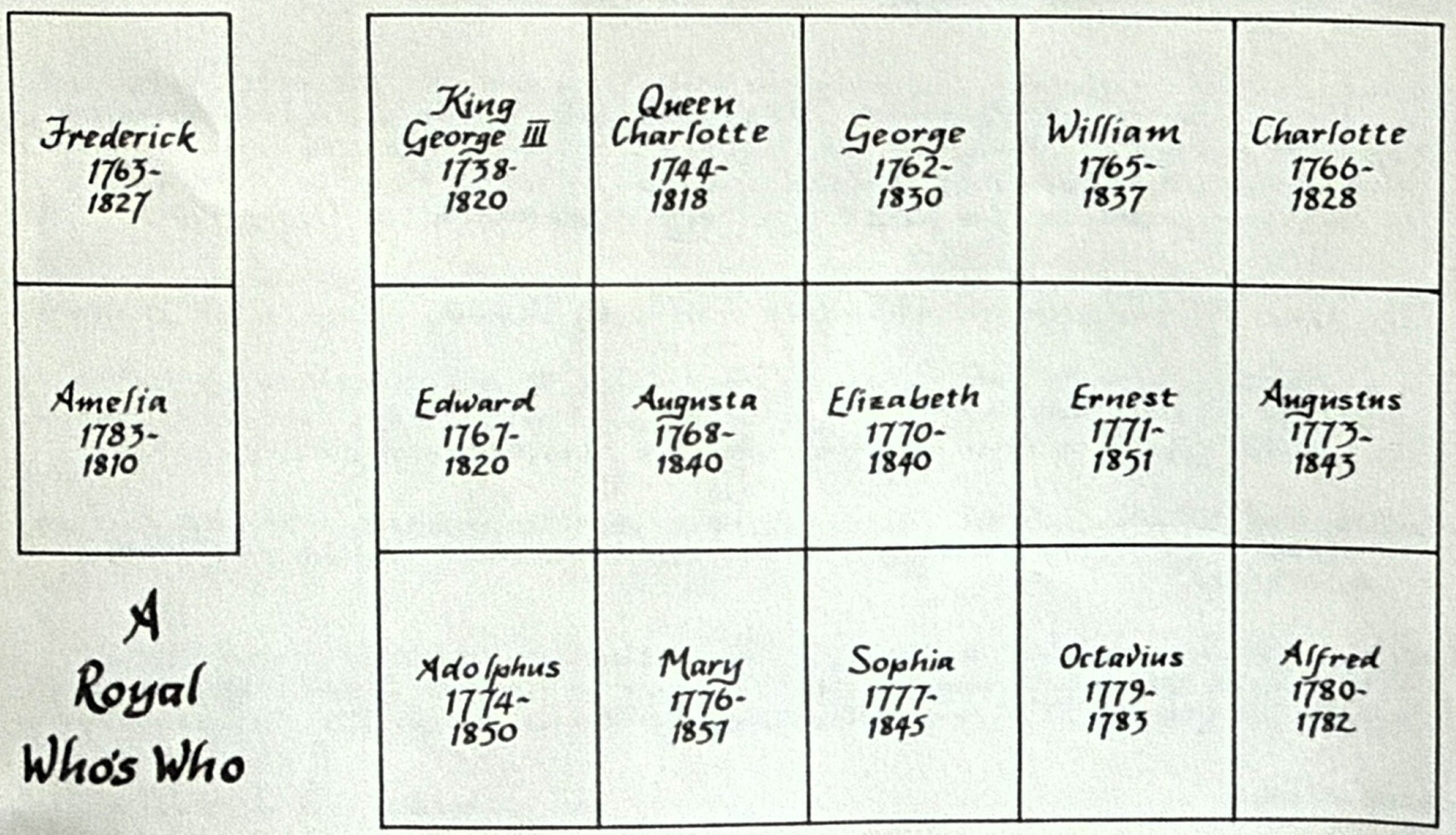
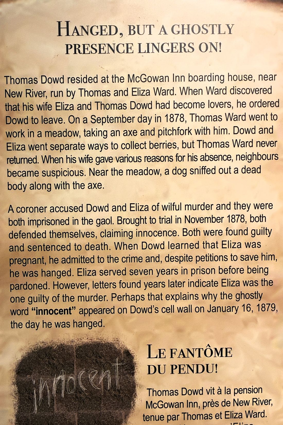
Stories of some of the prisoners held here.
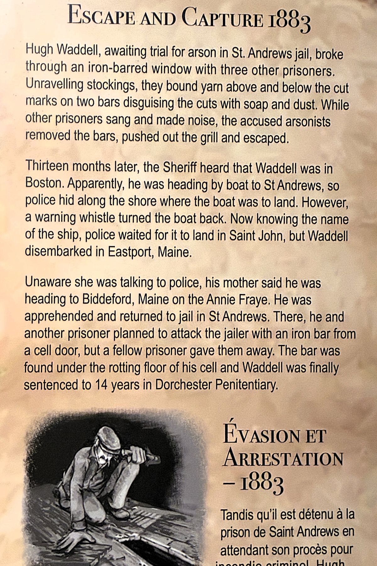
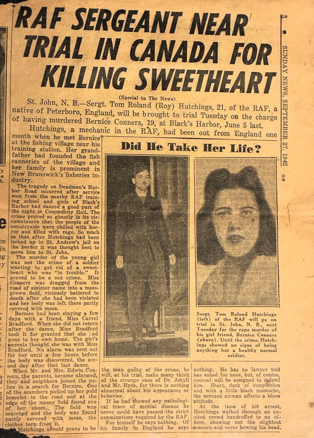
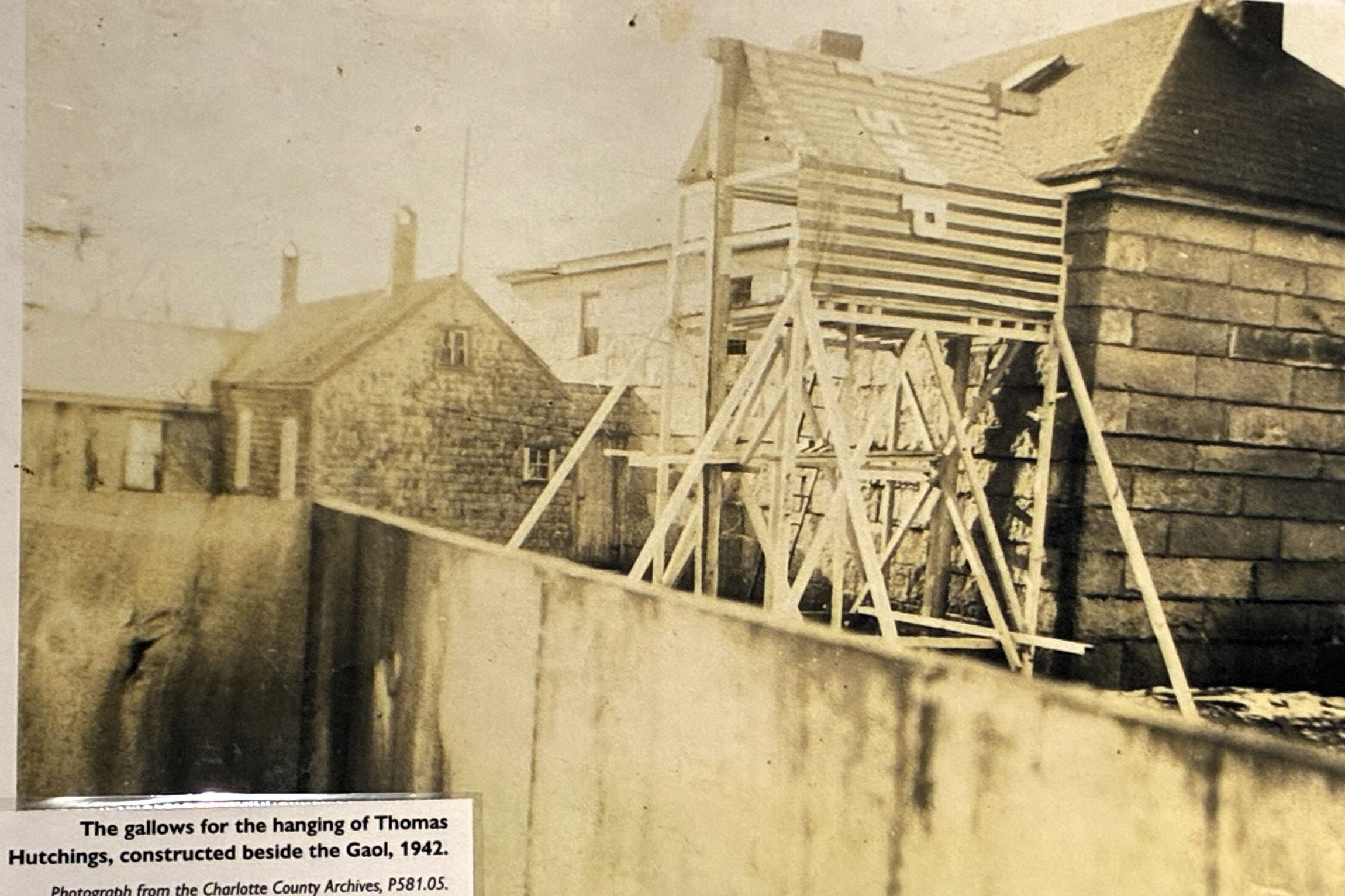
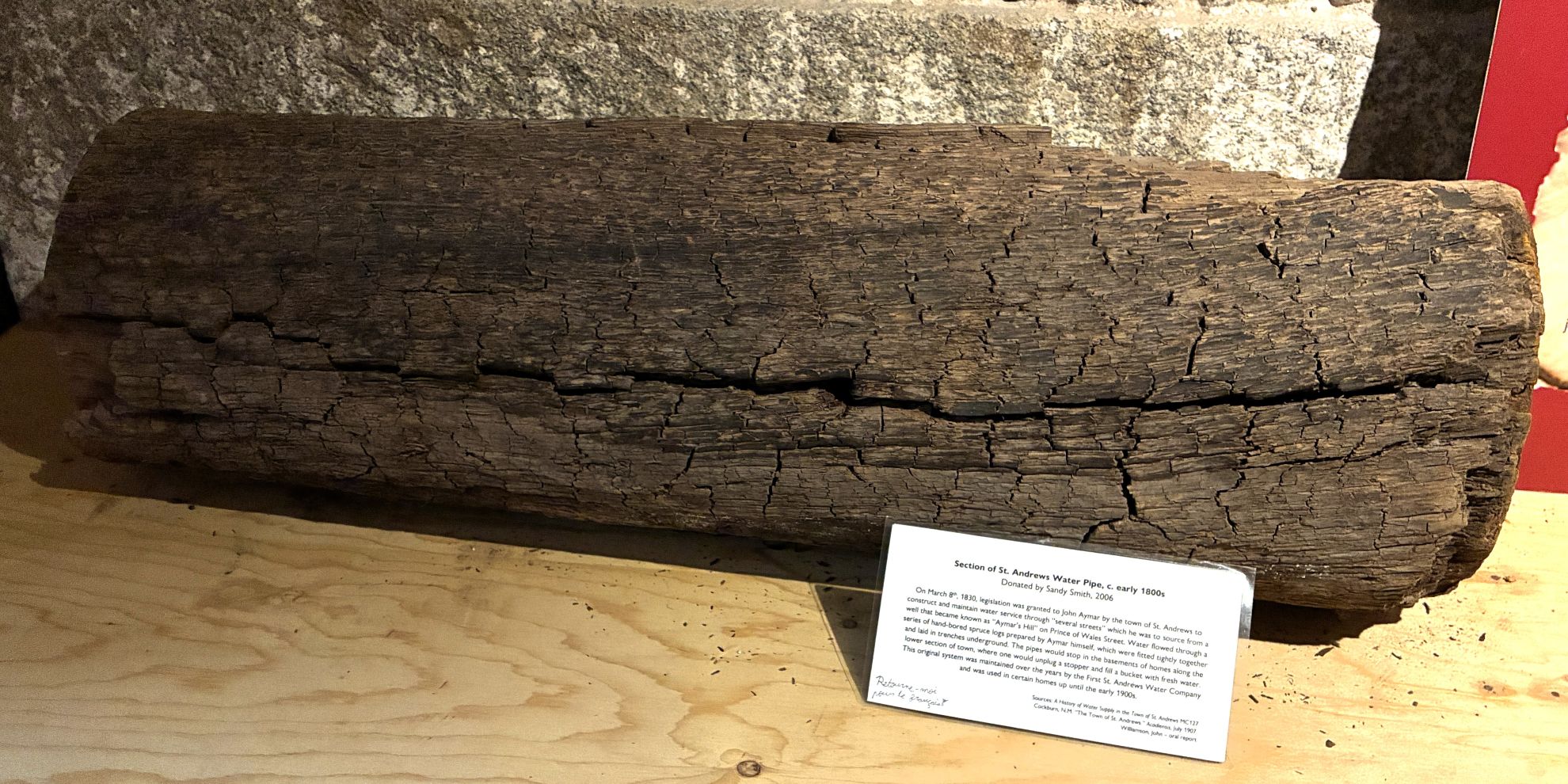
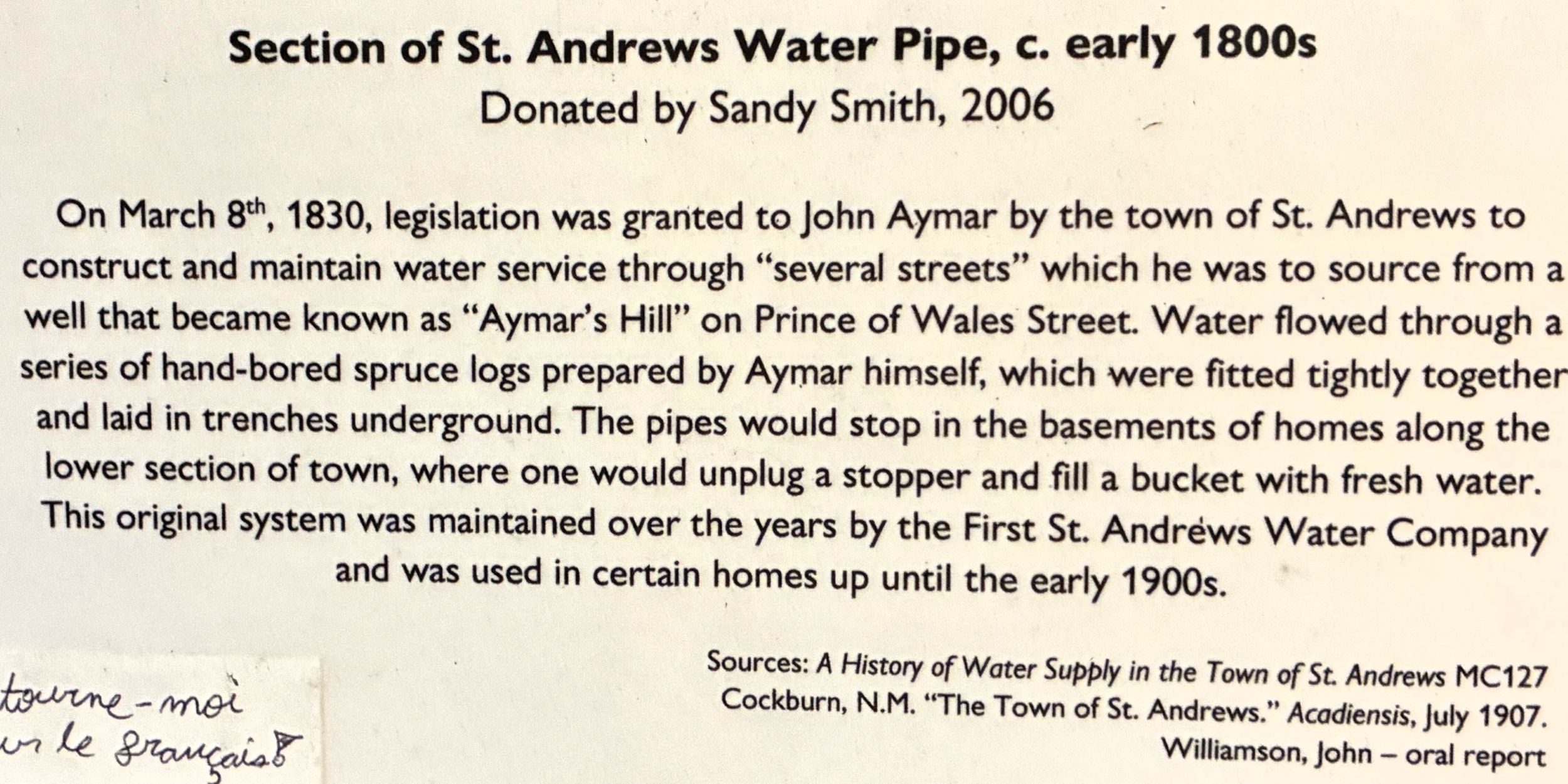
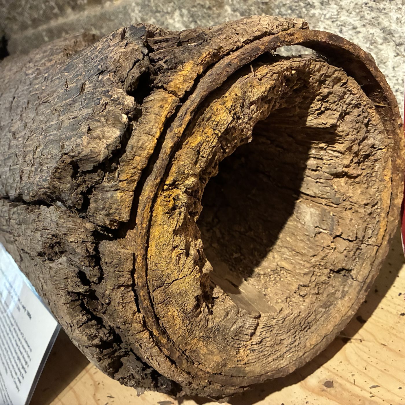
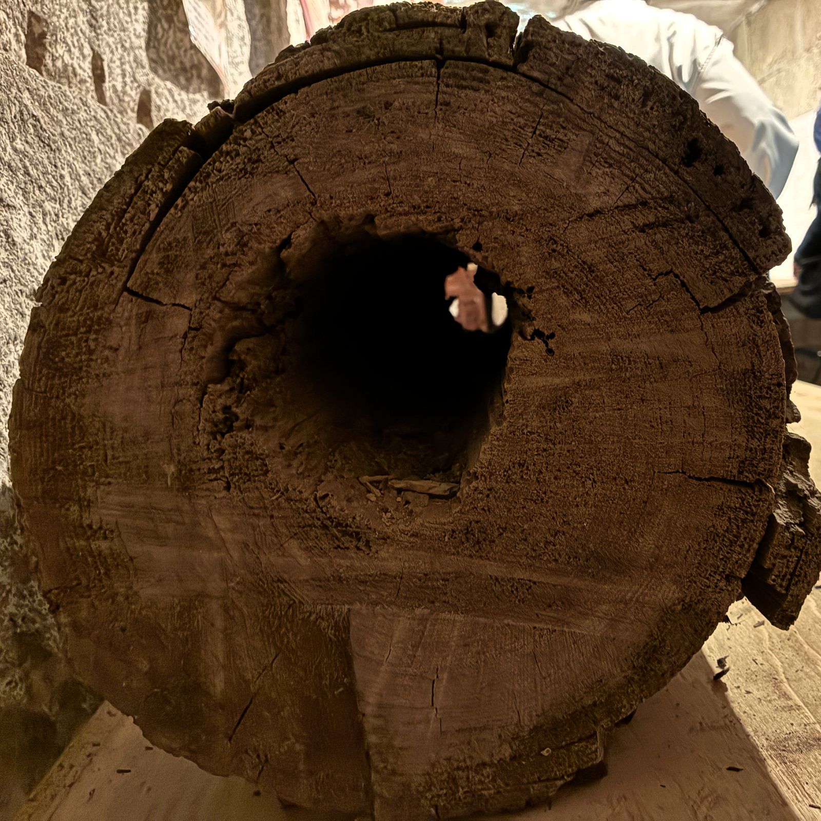
Primitive city water system – spruce log pipes!
We had lunch at the Kennedy Inn.
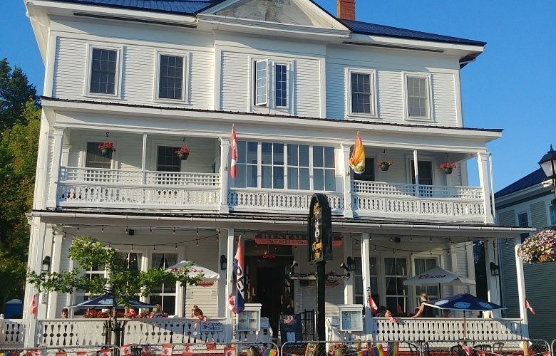
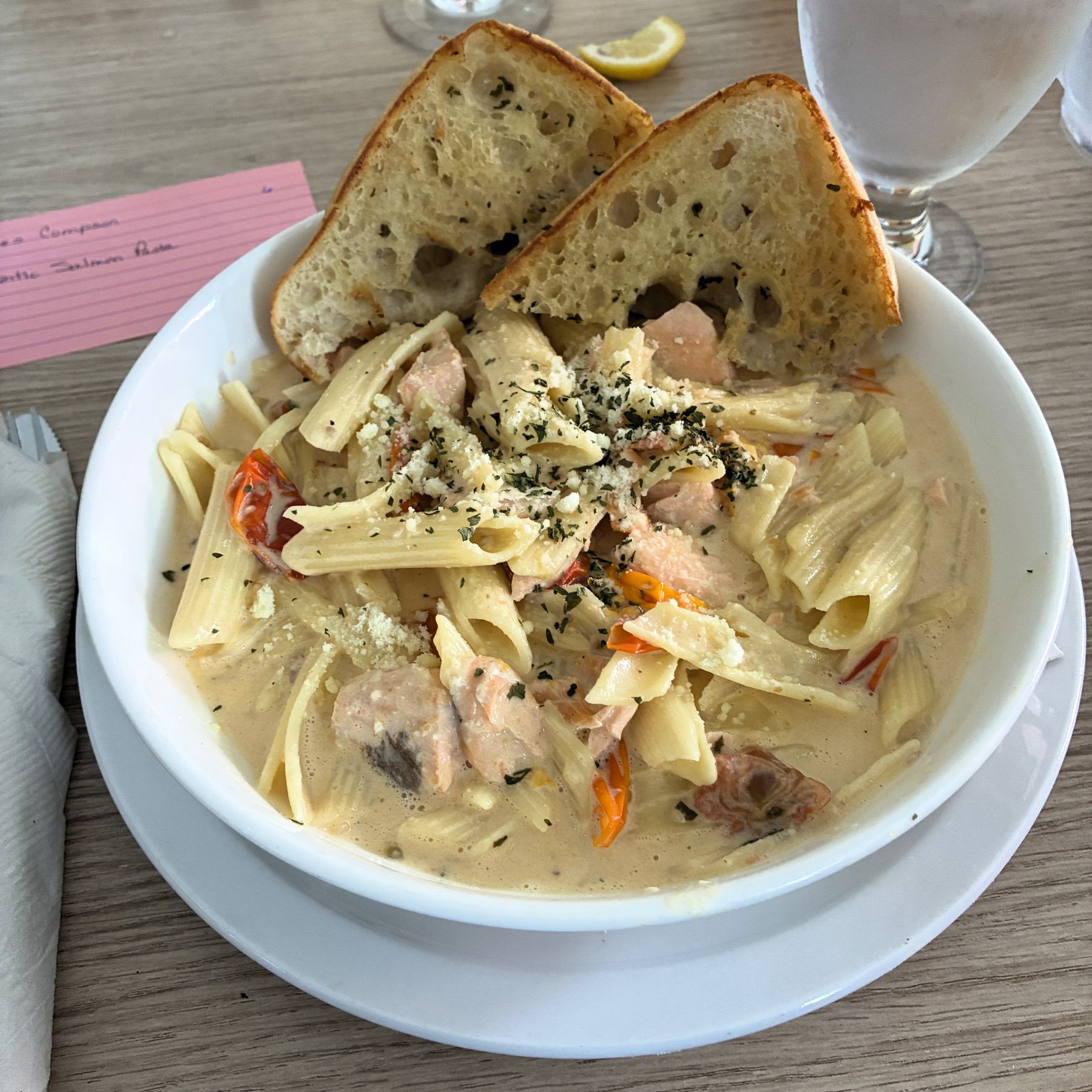
A few weeks before our adventure began, all of us were sent an email with options for our meals along the way. We were given color coded 3×5 cards at the restaurant so they could easily see what we had ordered. You can just make out a pink card that indicated Jim would get the Atlantic Salmon Pasta.
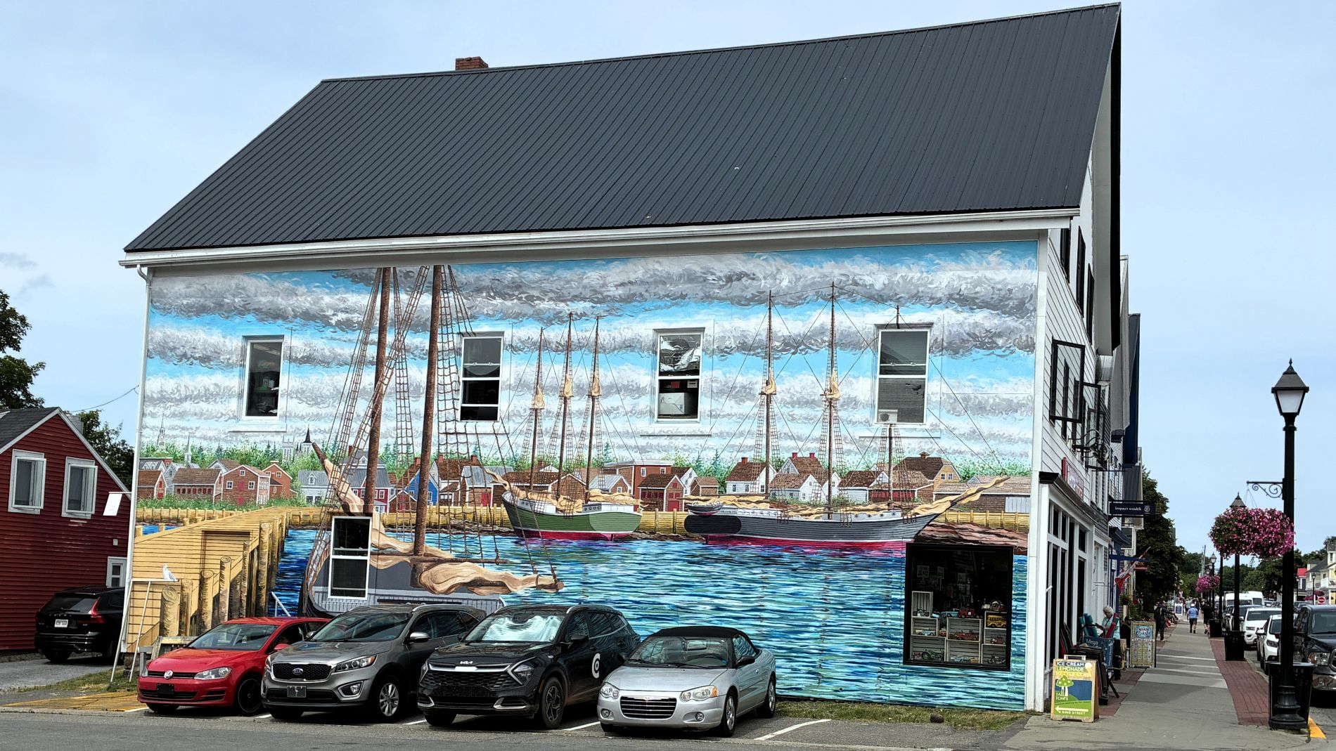
After lunch, we had some time to walk around the town. This mural caught our attention.
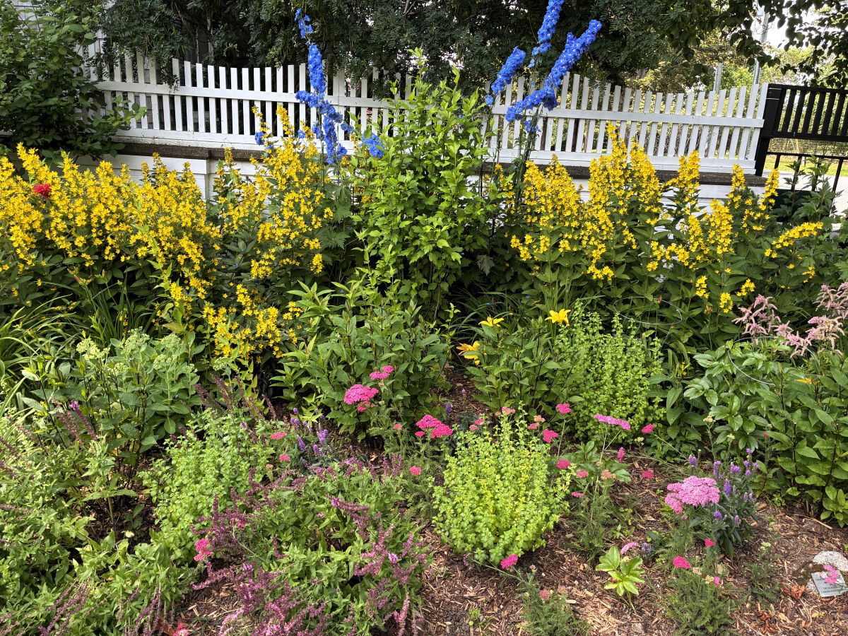
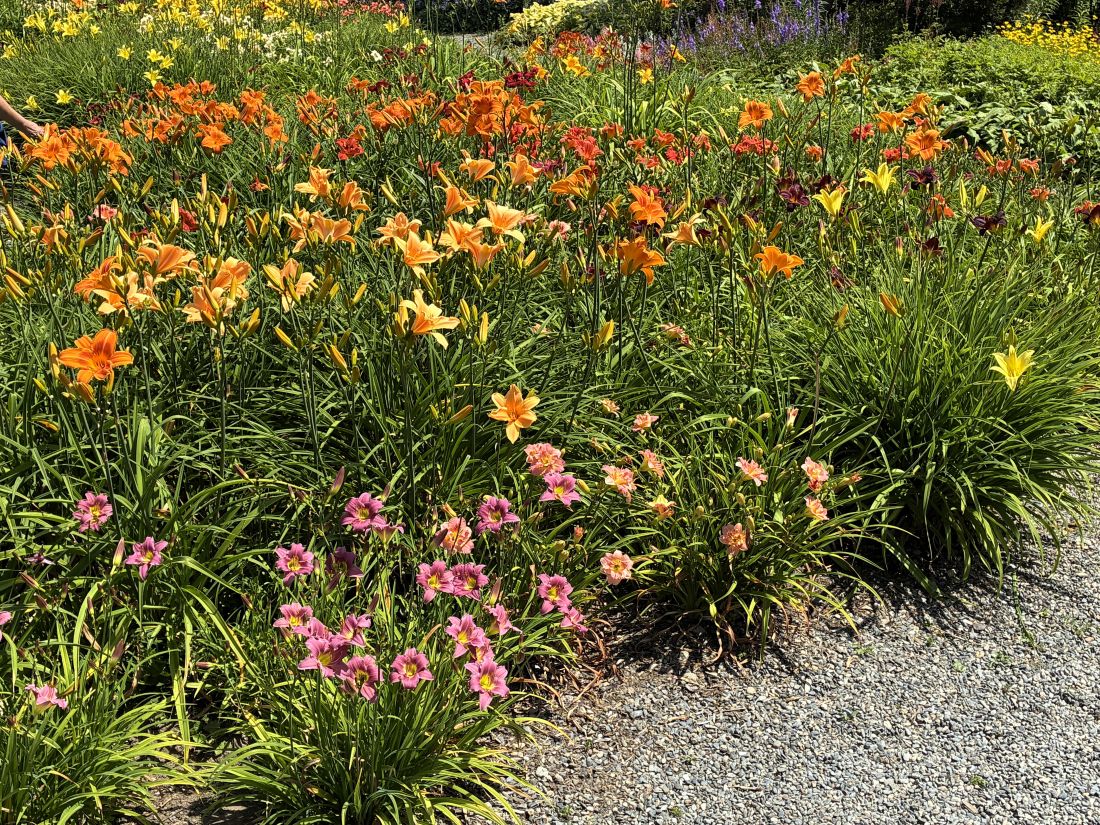
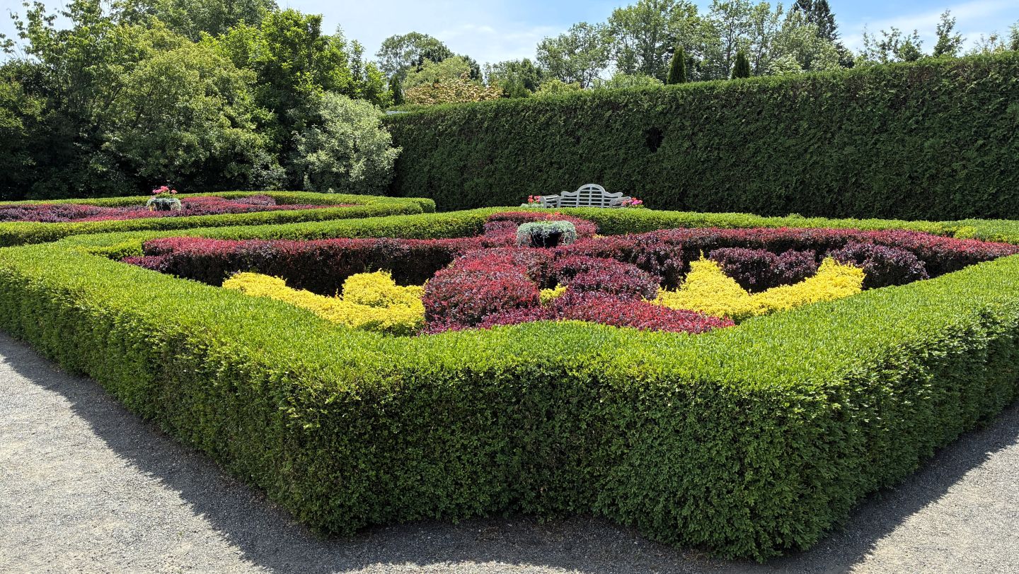
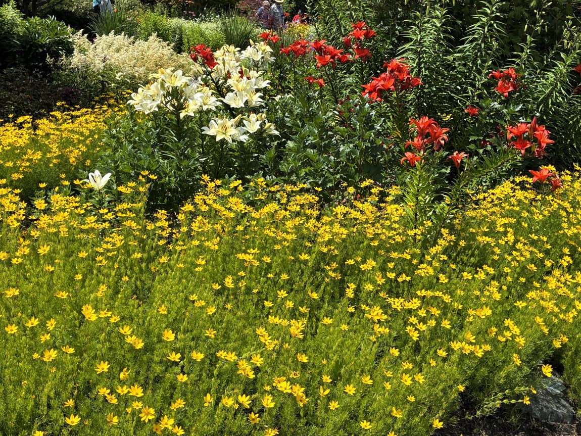
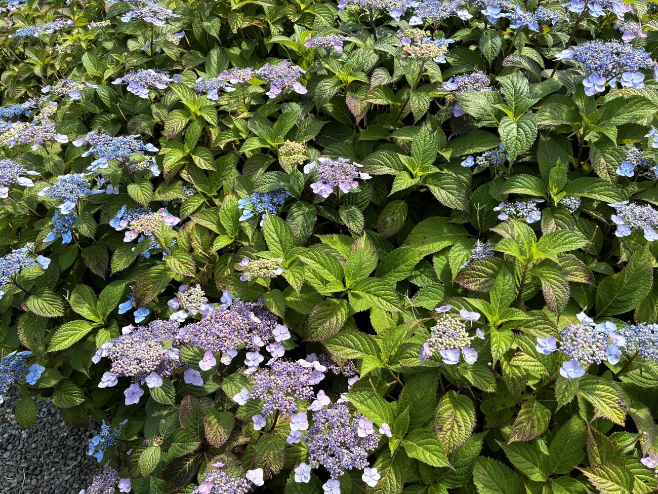
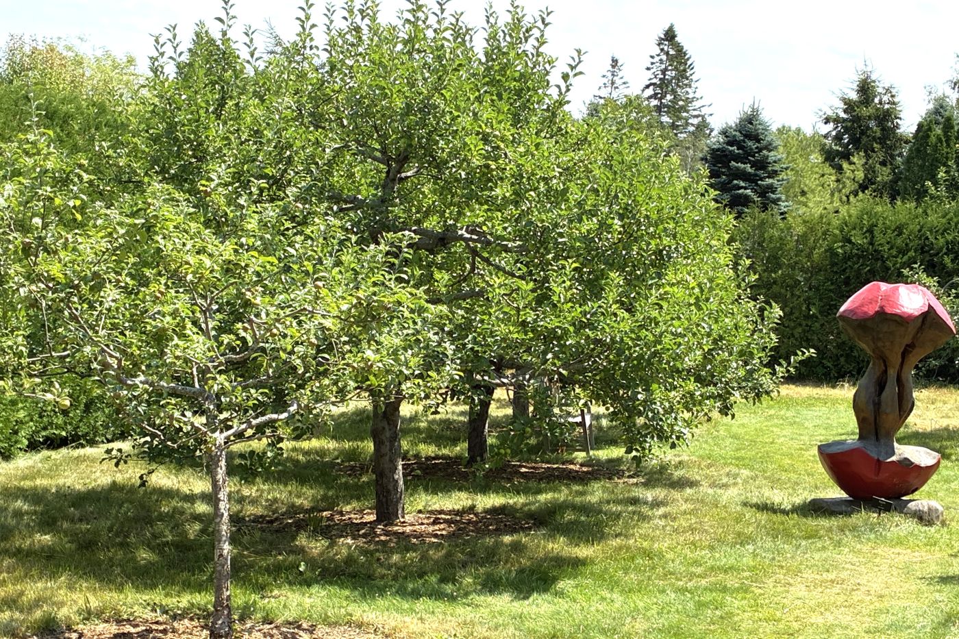
Our last stop for the day was Kingsbrae Gardens – a 27-acre wonderland! Of course there were LOTS of flowers!
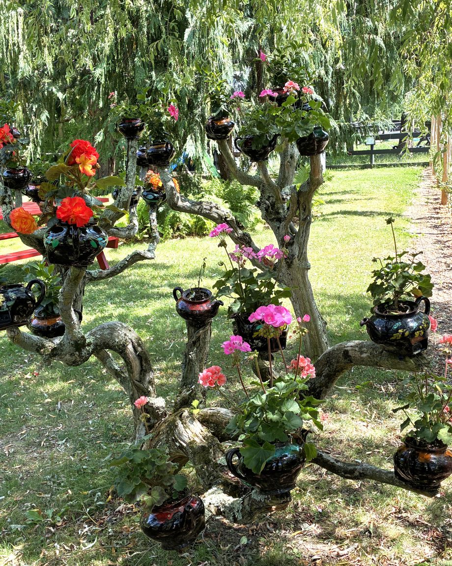
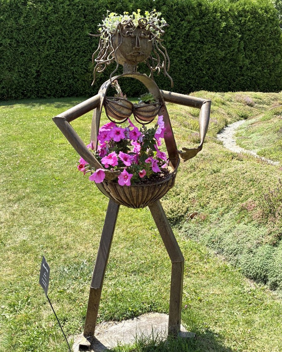
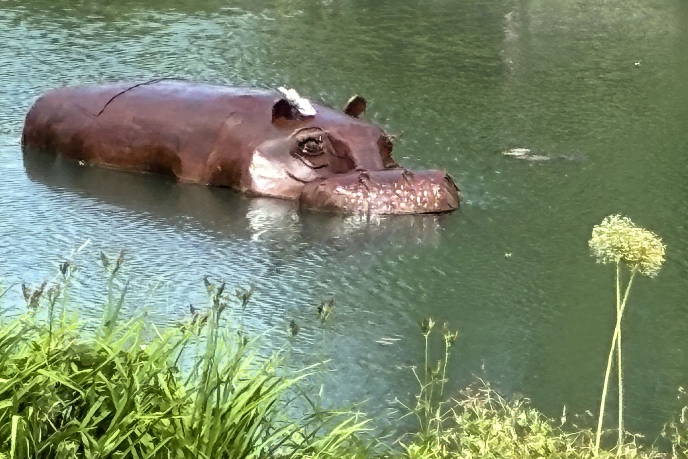
And some sculptures too.
There were a few artists out in the gardens with their easels and paints.
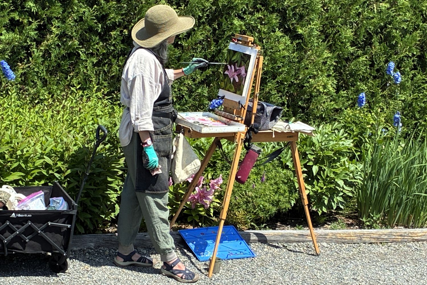
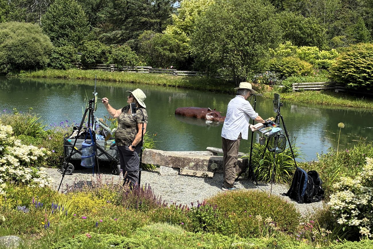
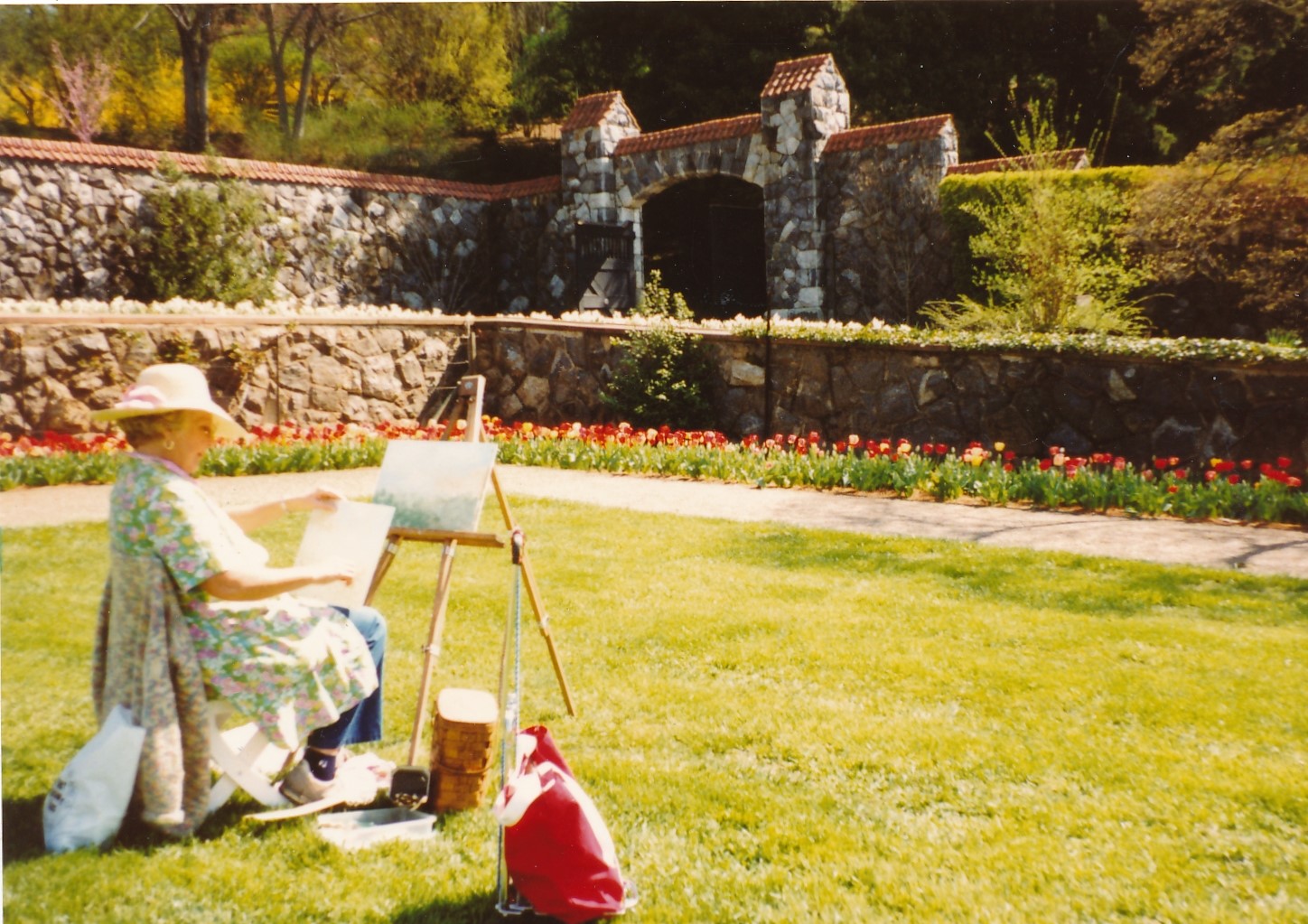
It reminded Linda of her mother having done similarly at the Biltmore Estate in Asheville, NC.
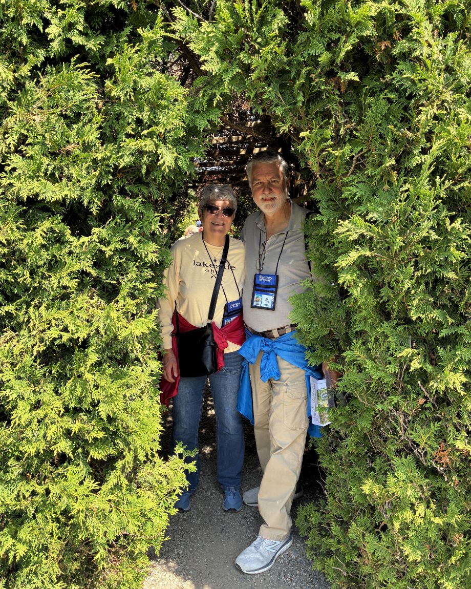
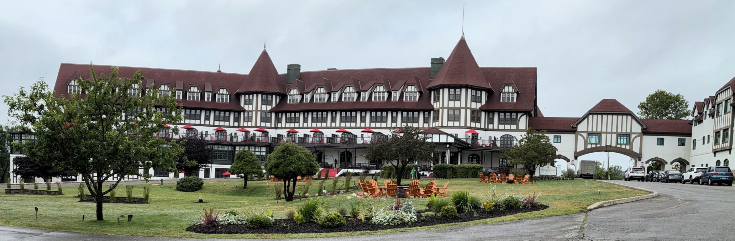
We went out for dinner to celebrate our 47th wedding anniversary. The Braxton Restaurant was at the Algonquin Resort.
It was an elegant setting, but we neglected to take a photo… The waiter was VERY hard to understand; we were not very impressed by the meal. However, we are thankful the LORD brought us together – through ups and downs, good times and bad, we are thankful for the many blessings God has bestowed upon us and our family and that we have each other as we adventure through this life together.
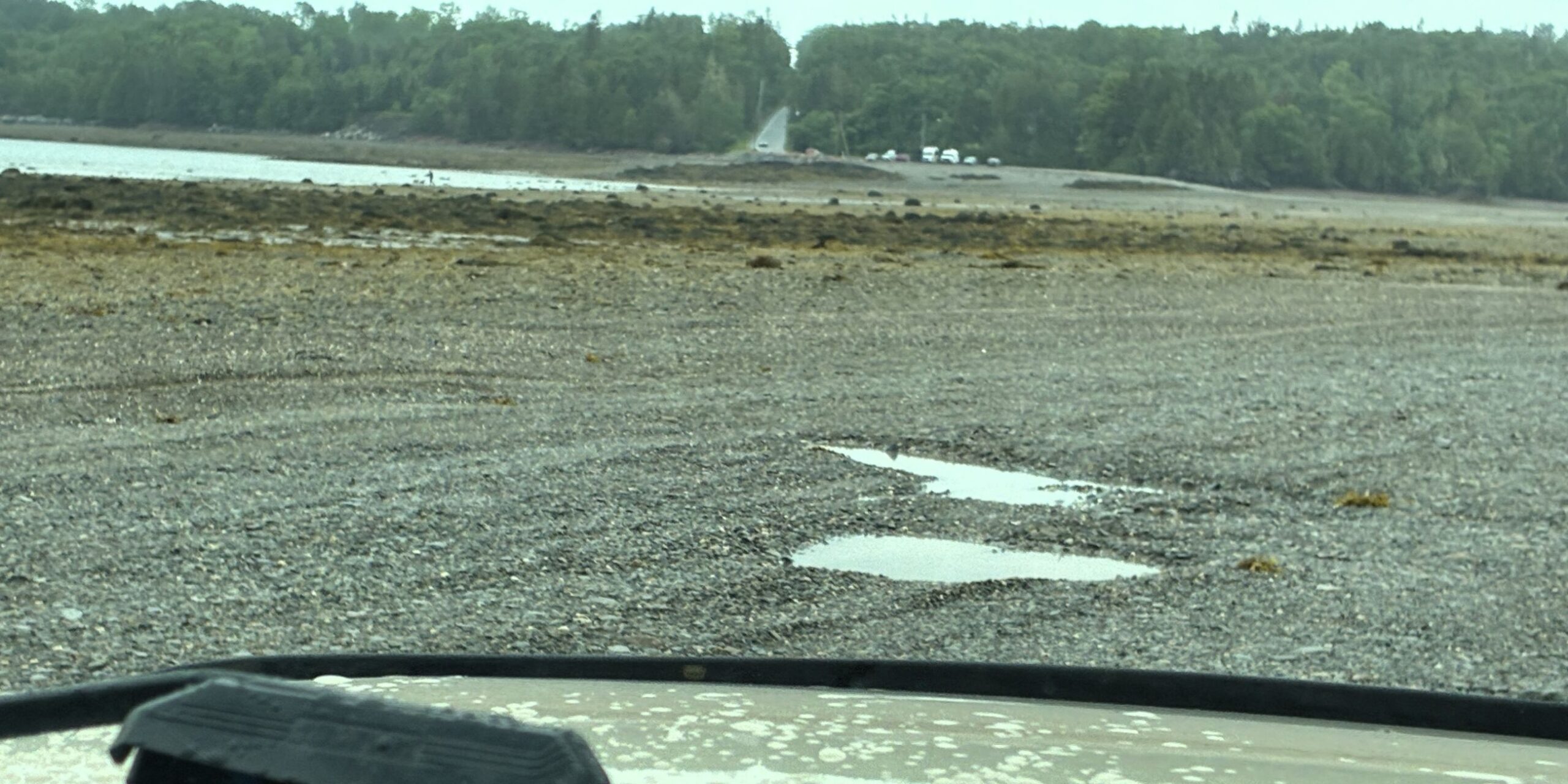
The next day, we were to have a whale watching excursion, but it was cancelled since it was windy and rainy; they rescheduled for later in the day and still had to cancel due to rough seas. We DID however have the opportunity to drive “over the ocean floor” to Minister’s Island! The island is accessible by a natural sandbar “road” only during the low tide.
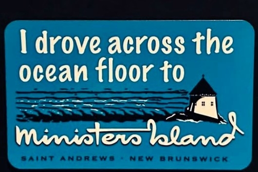
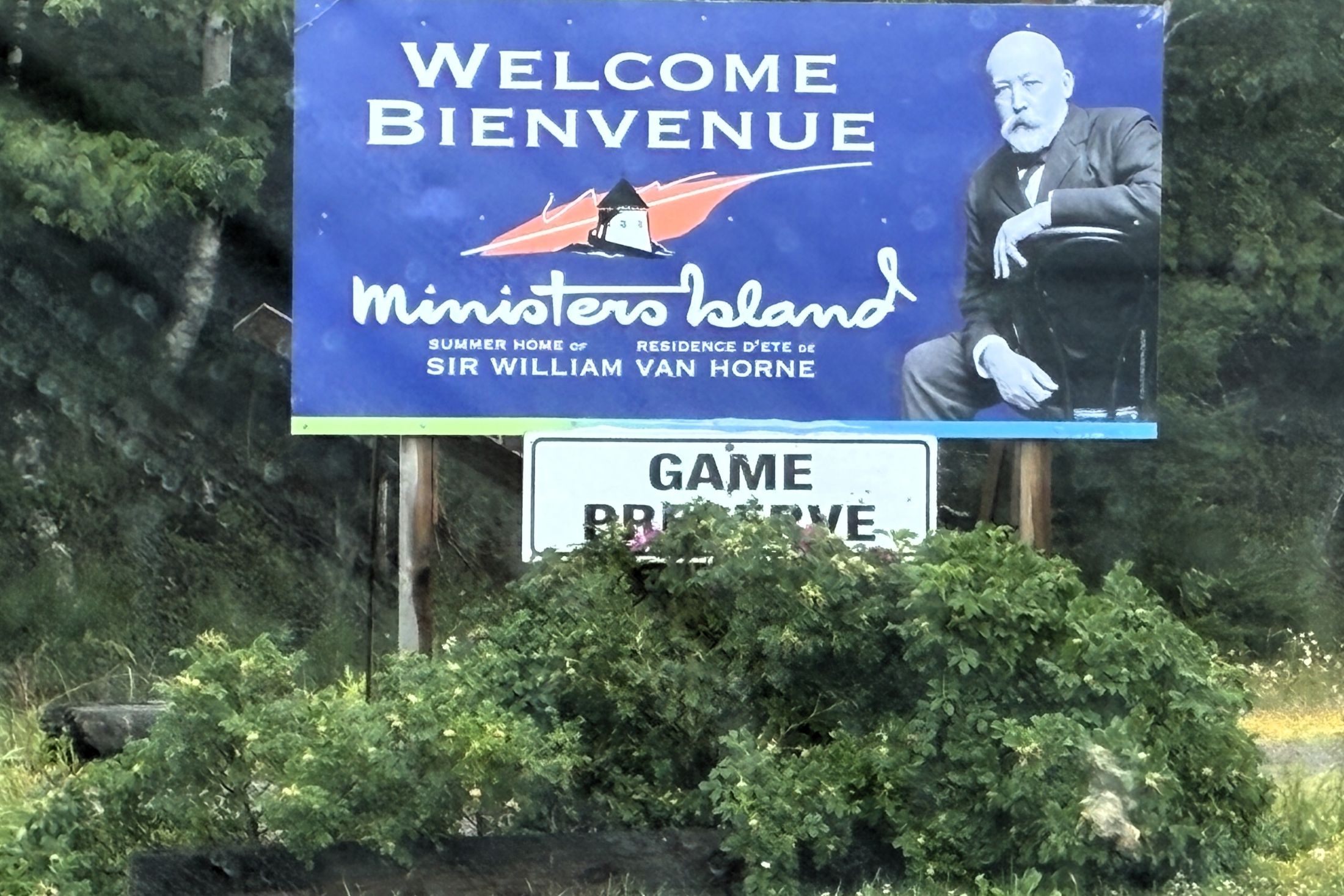
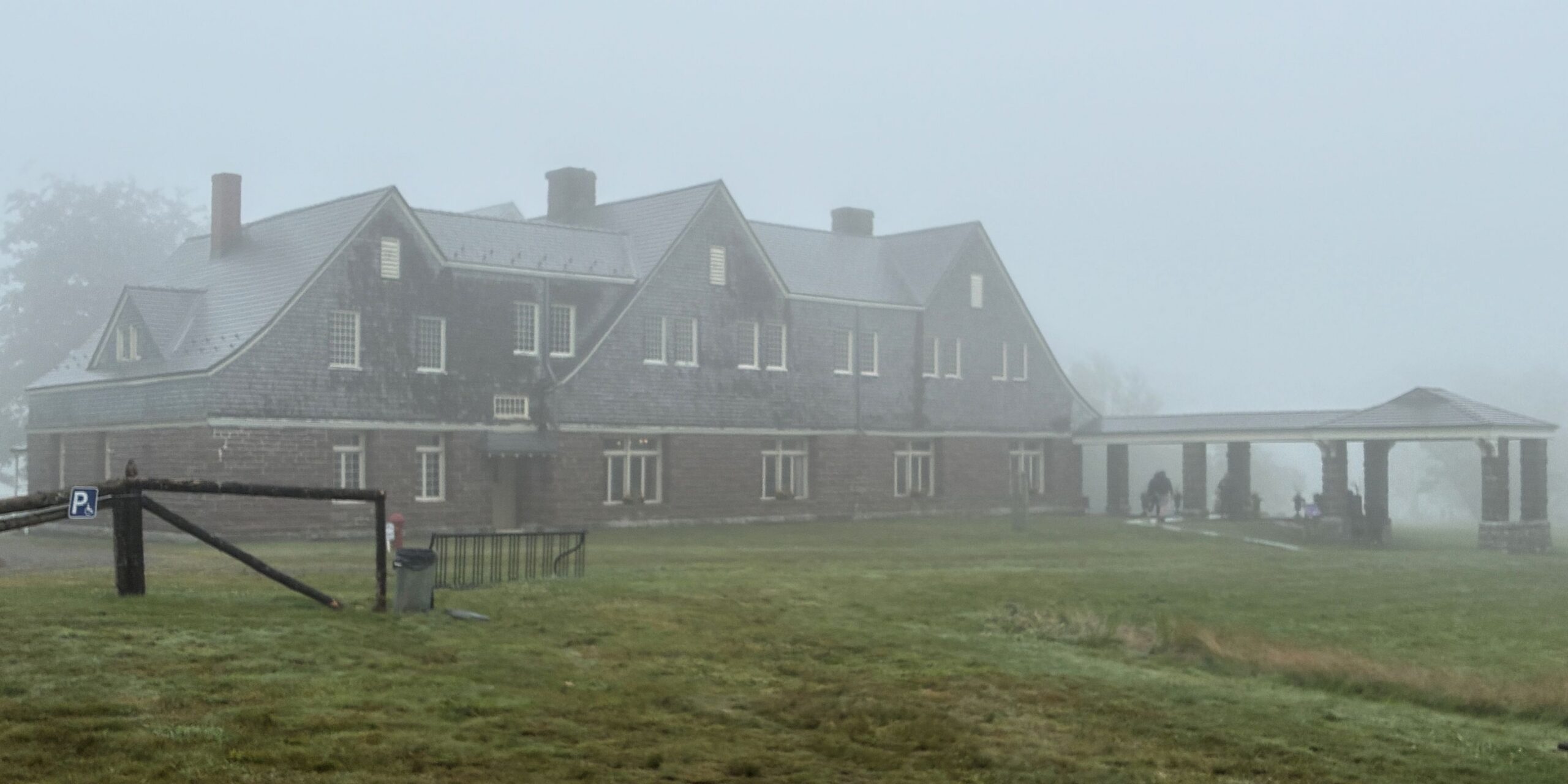
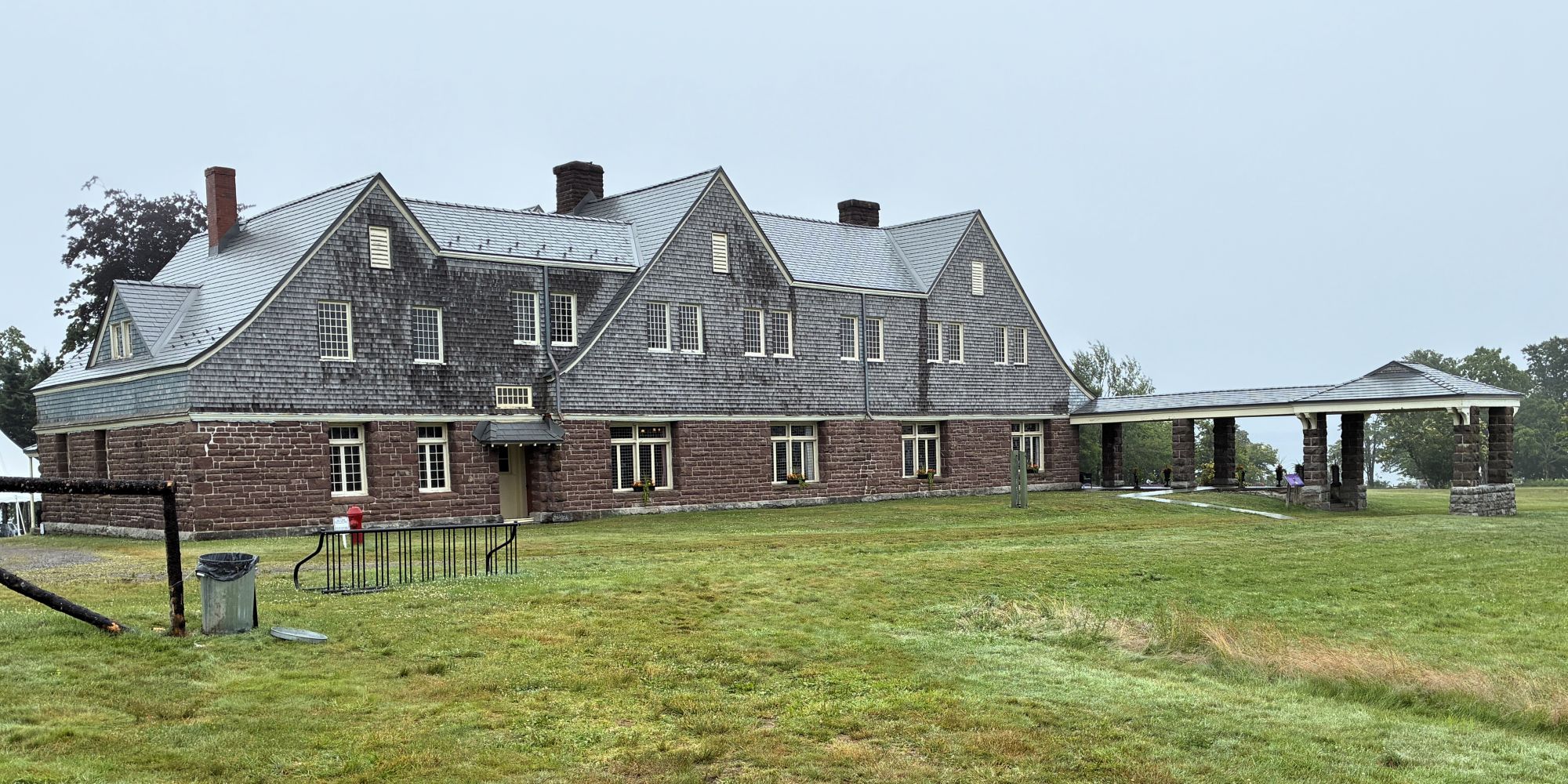
The summer home of Sir William Van Horne, which he named “Covenhoven”, was quite a grand place! You can see how dismal the weather was on the day of our visit.
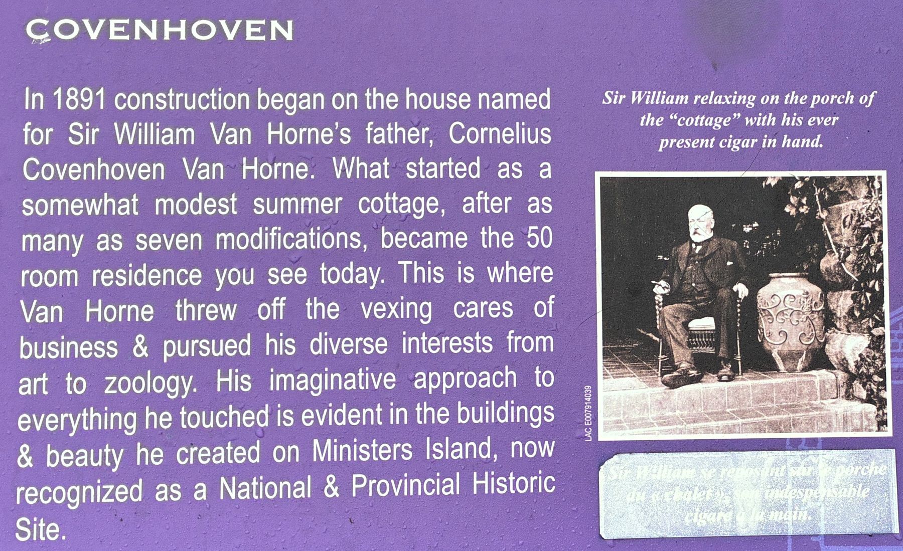
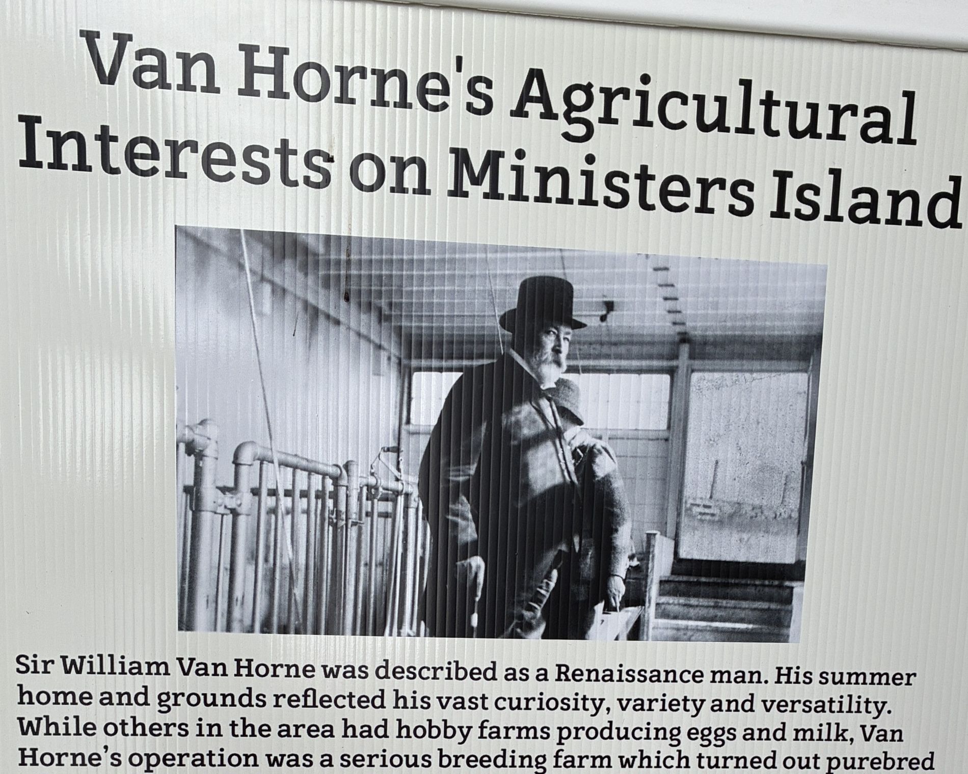
Sir William Cornelius Van Horne (February 3, 1843 – September 11, 1915) was an American businessman, telegrapher, railroad executive and artist (among other talents), who spent most of his career in Canada. He is famous for overseeing the construction of the first Canadian transcontinental railway, a project that was completed in 1885, in under half the projected time. He was responsible for launching the Canadian Pacific Steamship Company that linked Vancouver and Hong Kong in 1891. He presided over the expansion of the Canadian Pacific Railway into the luxury hotel business in the 1890s. Van Horne was also a prominent member of the syndicate that created the Cuba Railroad Company in 1900. He lived at the Van Horne Mansion in Montreal which was controversially demolished in 1973.
We began touring the “modest cottage” what a beautiful place it was! This photo caught our attention.
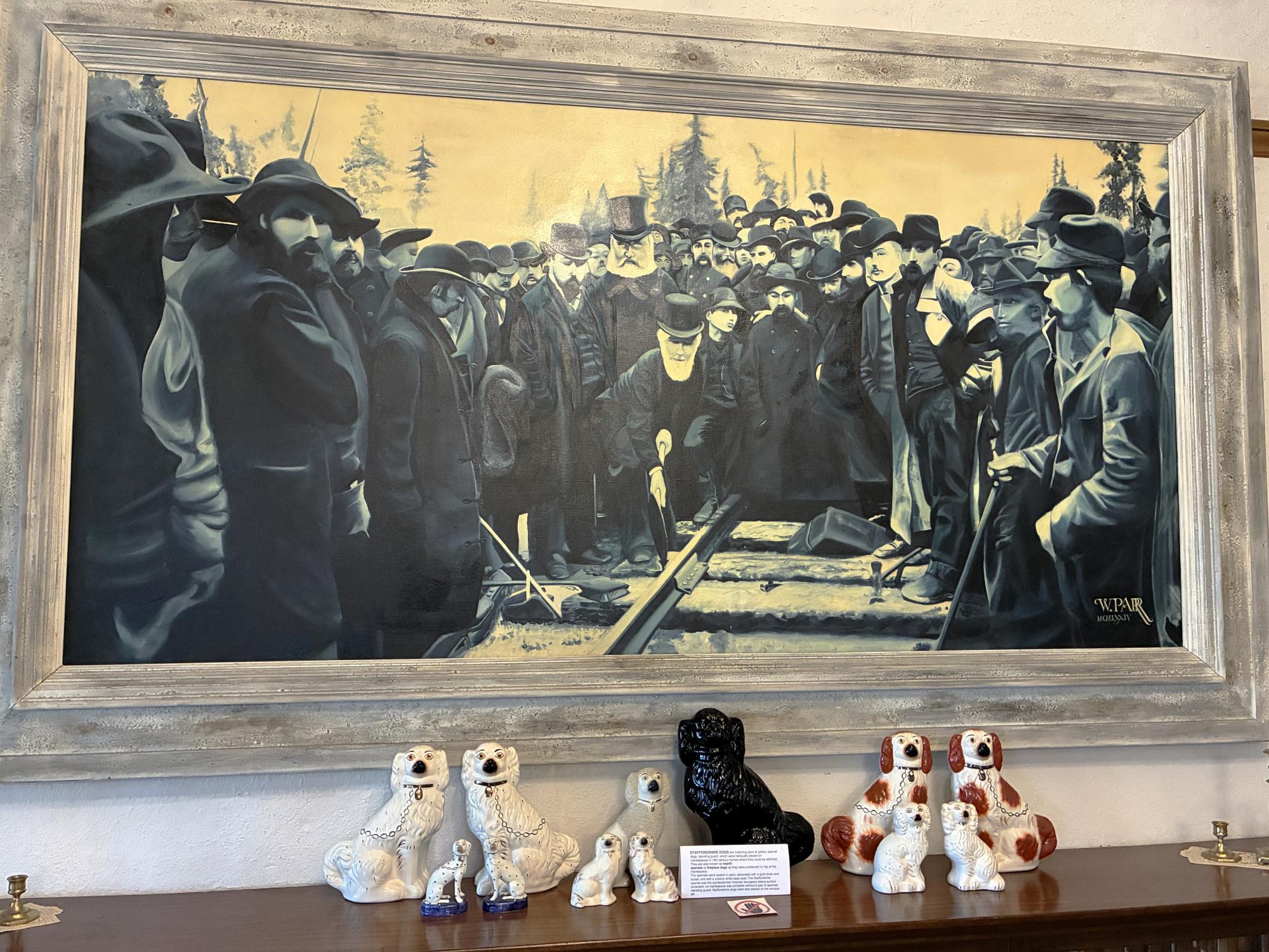
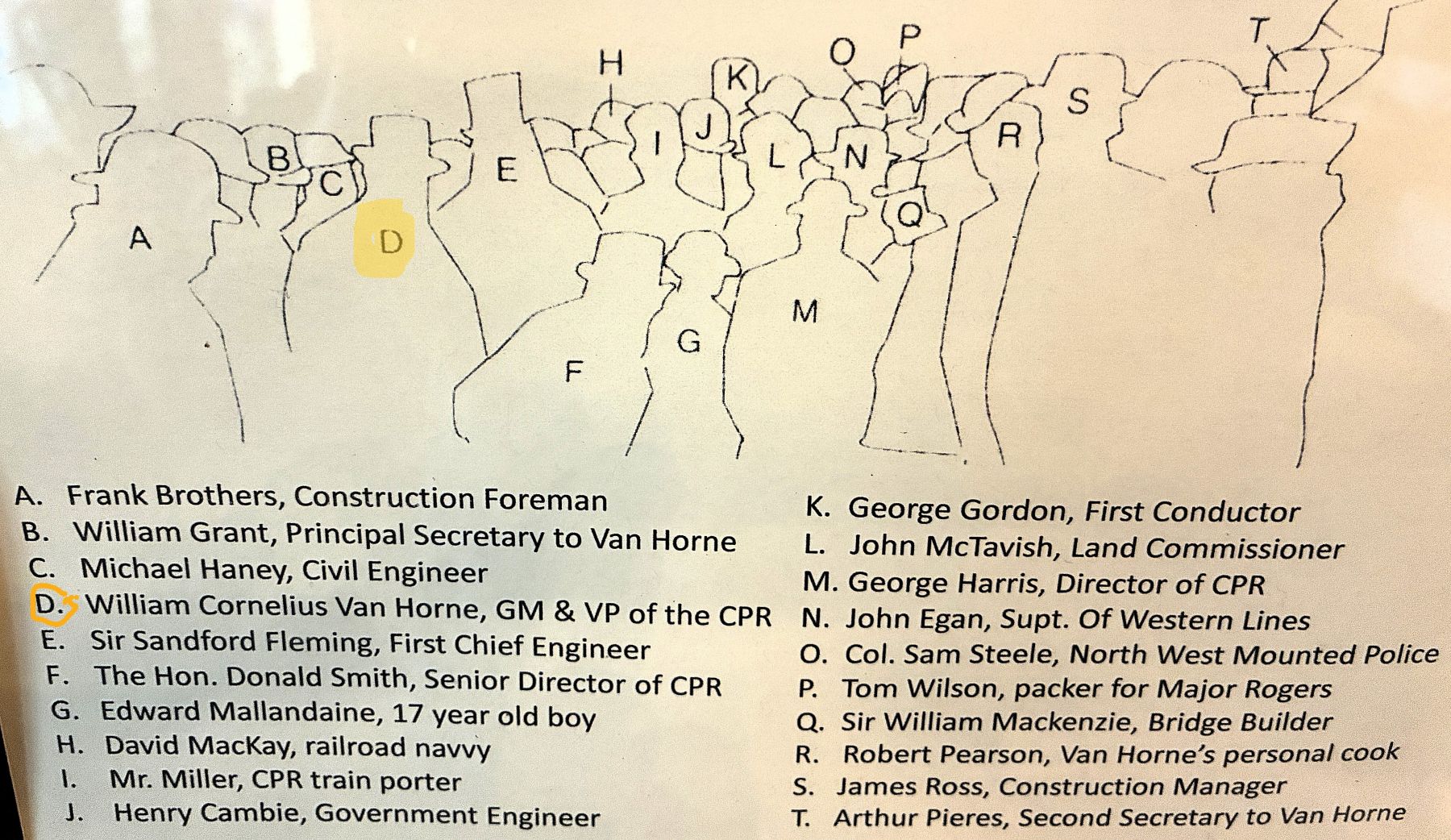
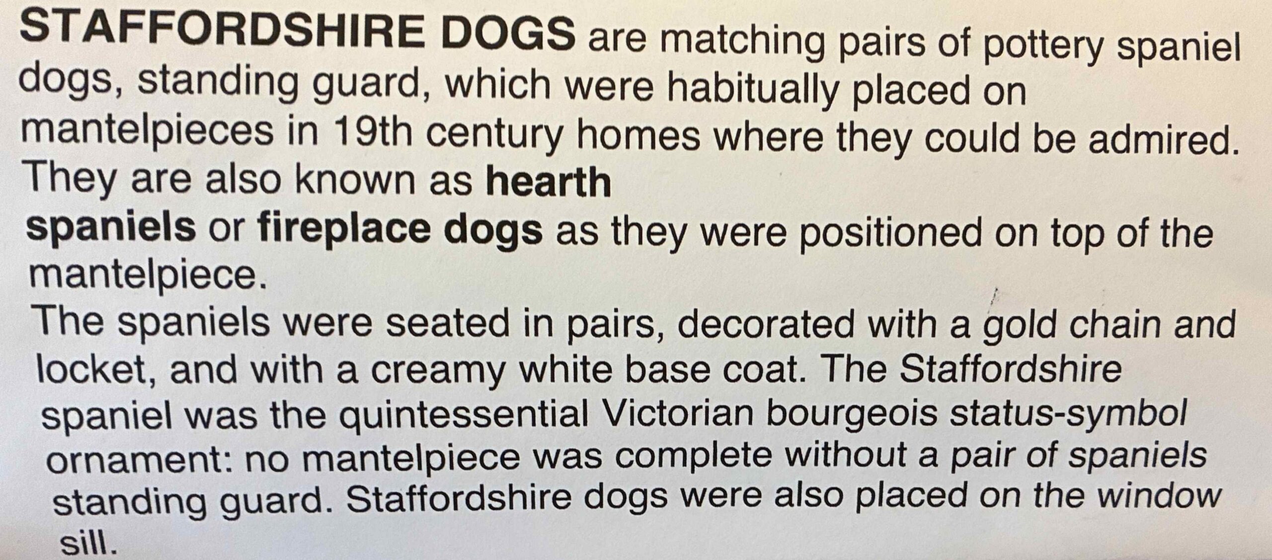
The display of not just one or two sets of hearth spaniels but SIX pairs show off the wealth of the owner!
A spacious dining room where up to 24 could be seated.
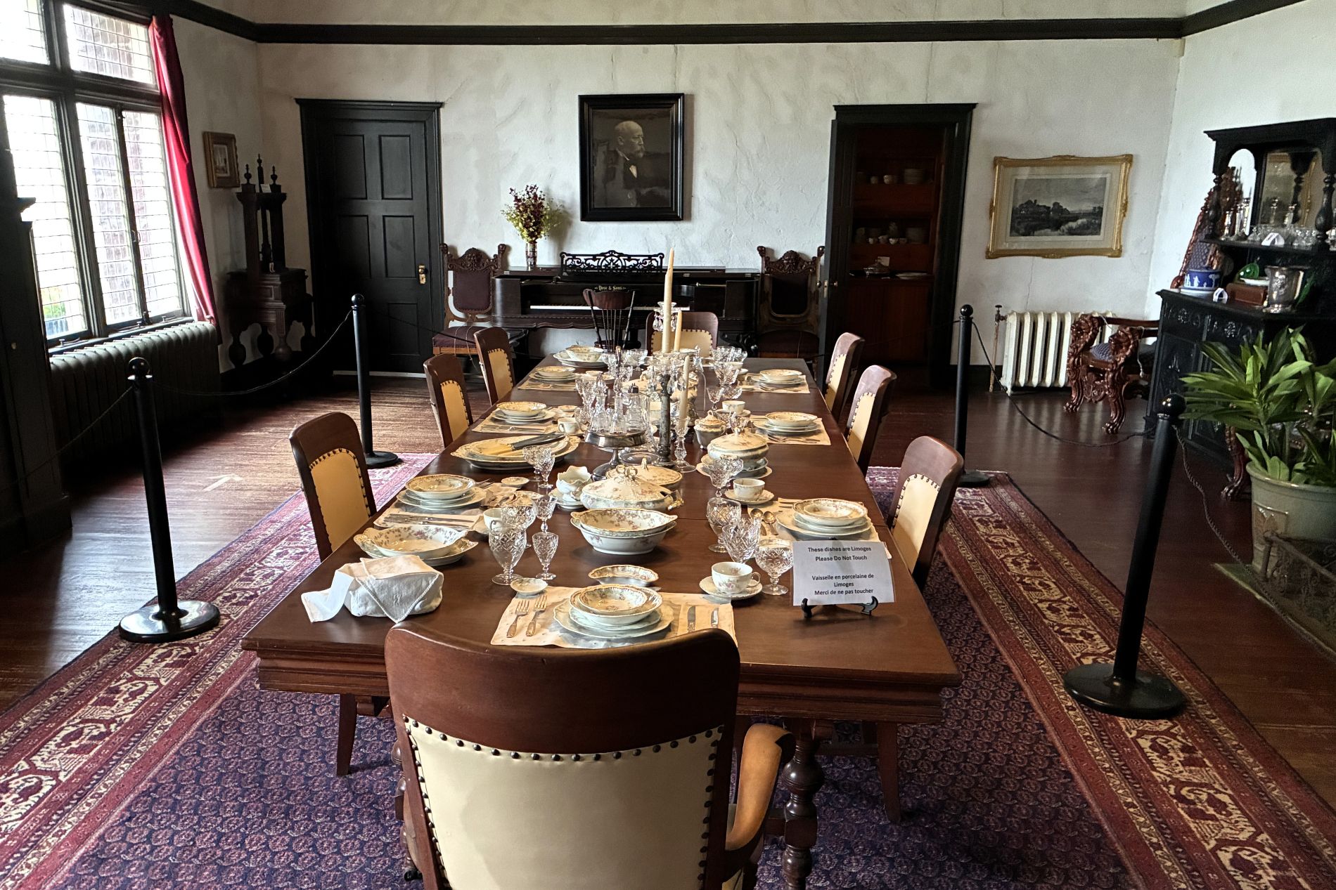
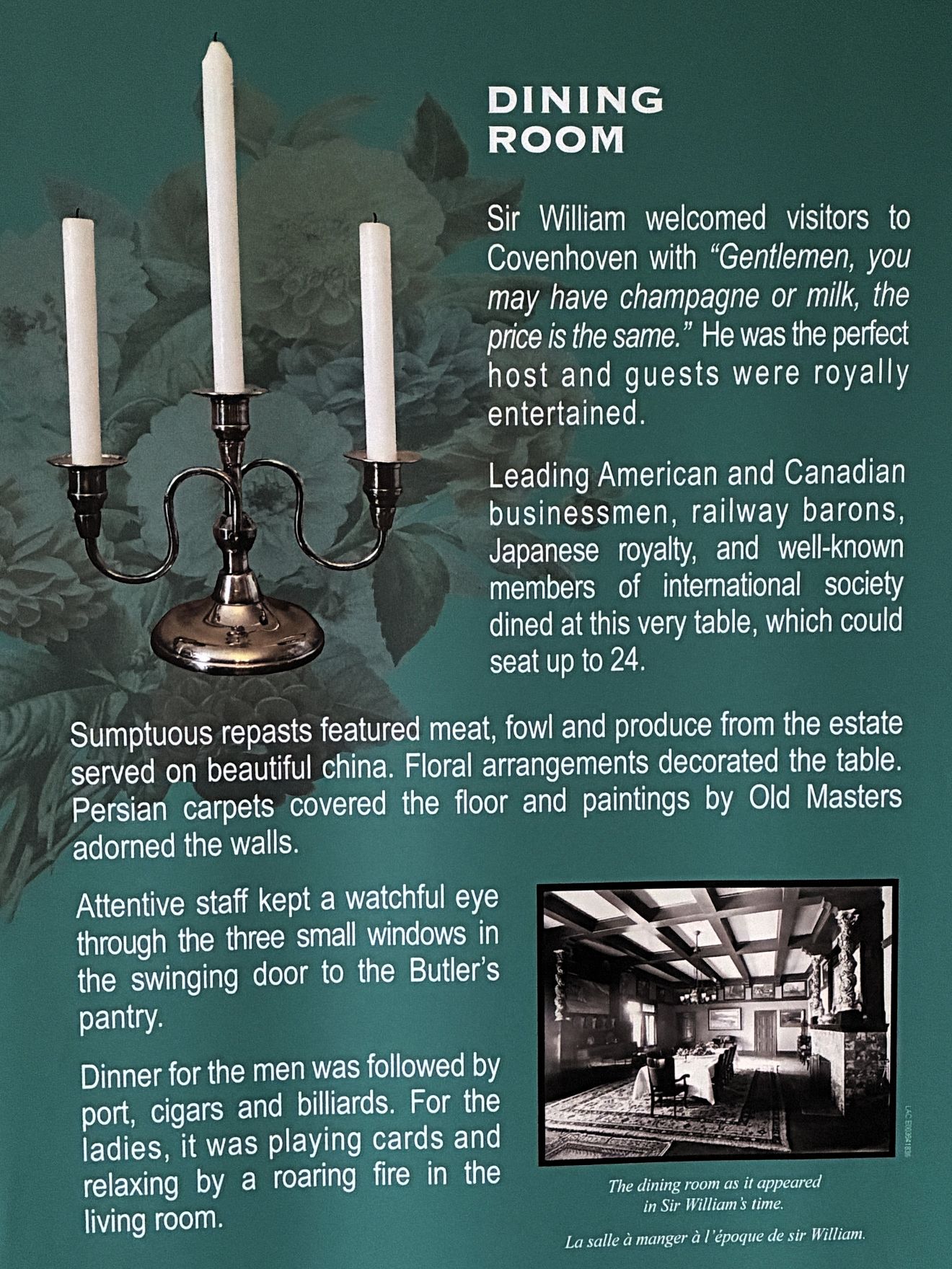
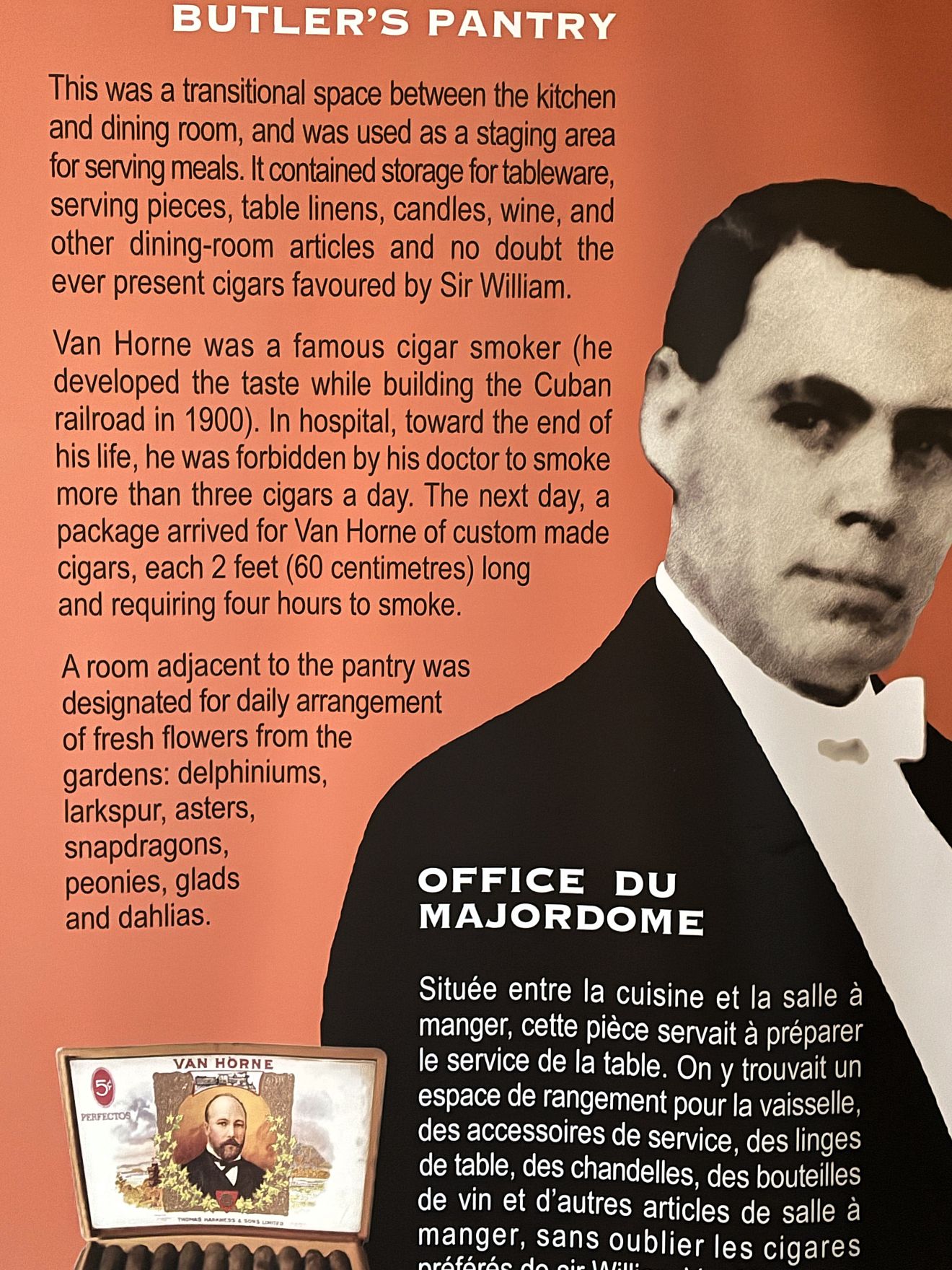
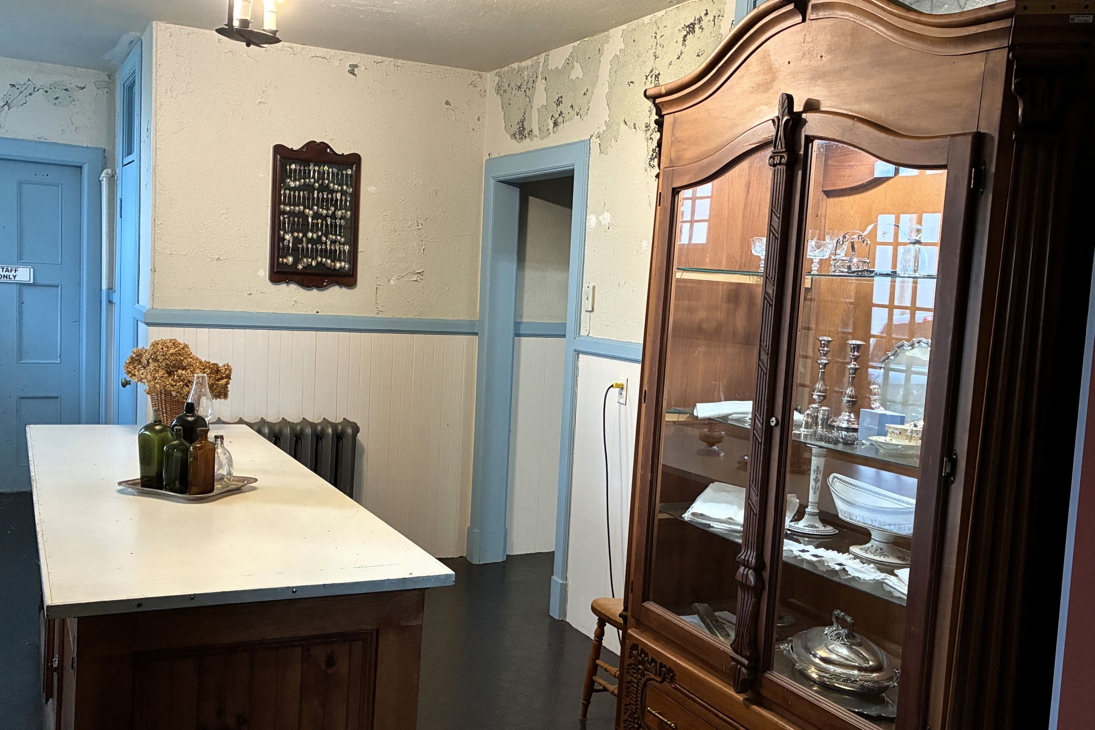
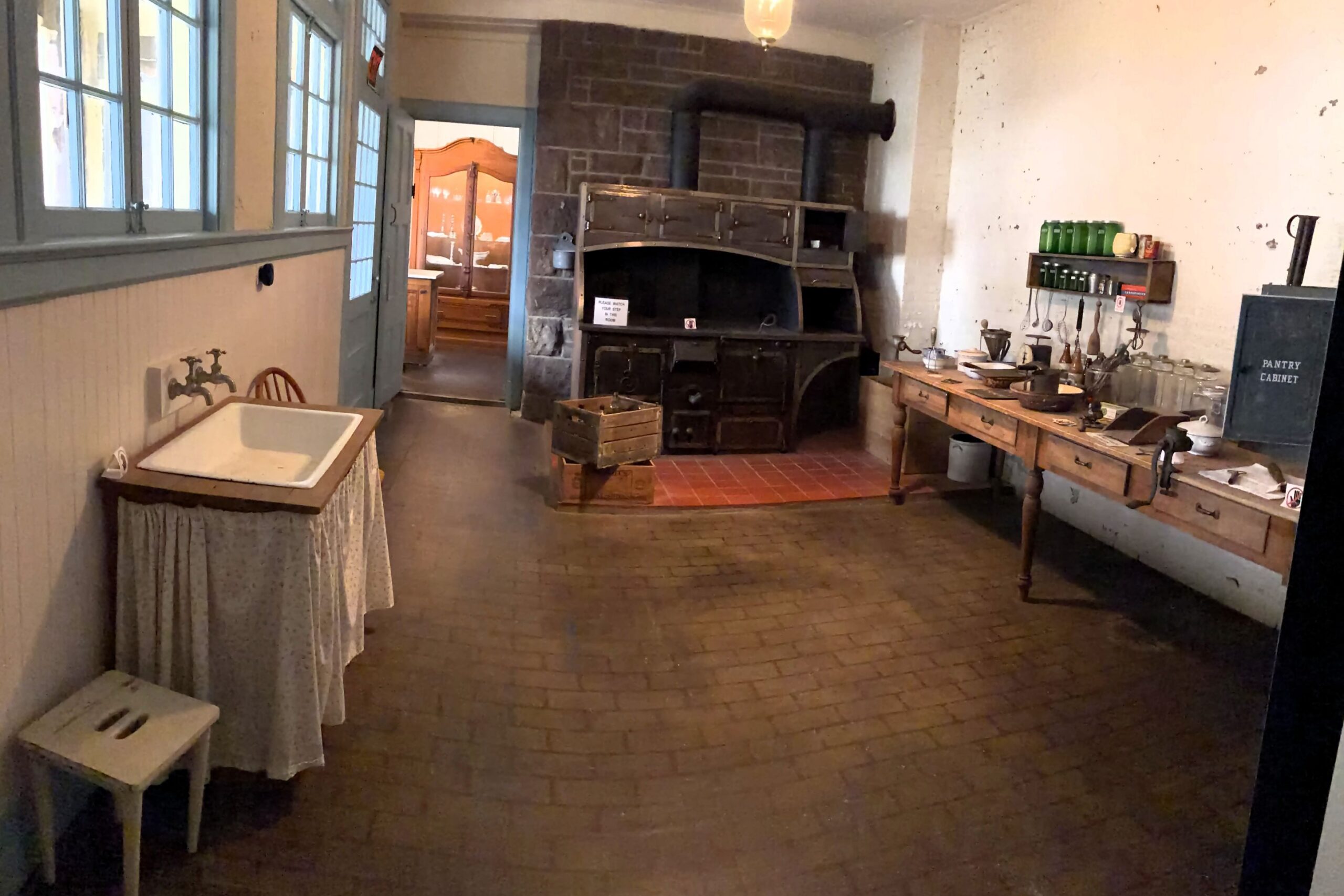
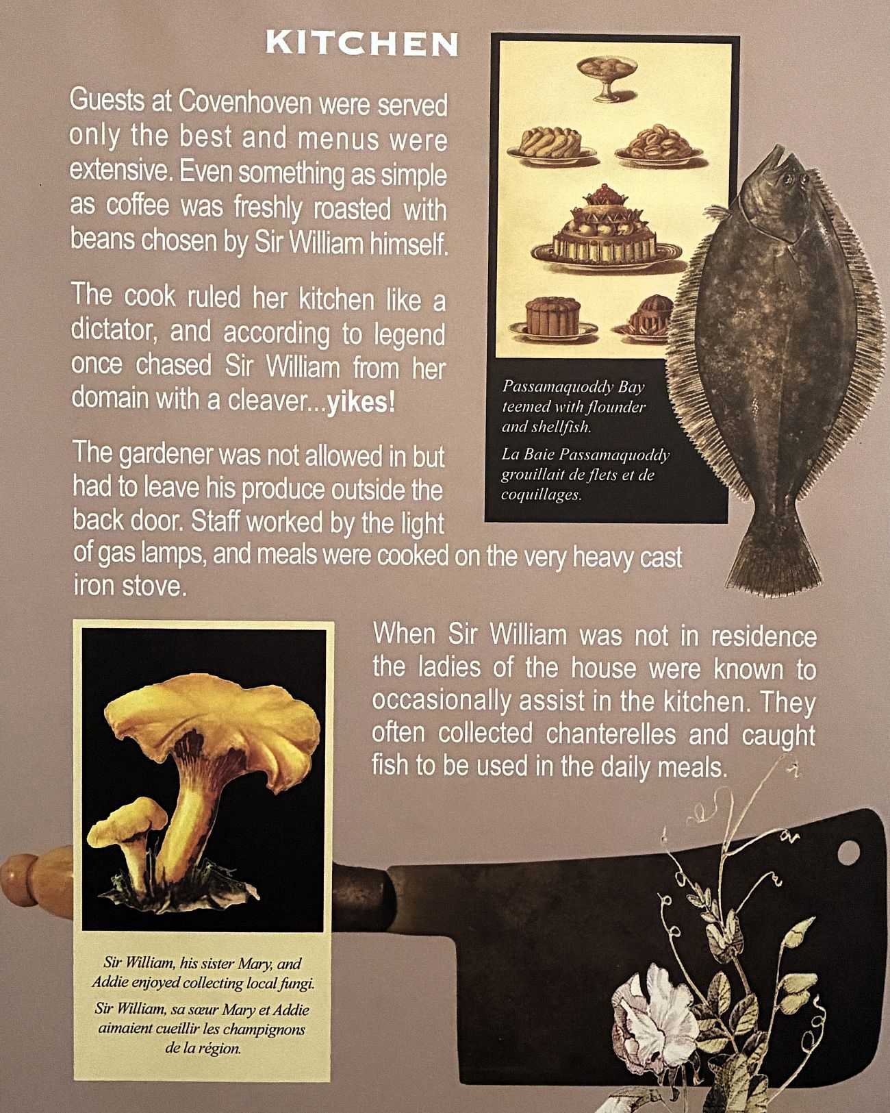
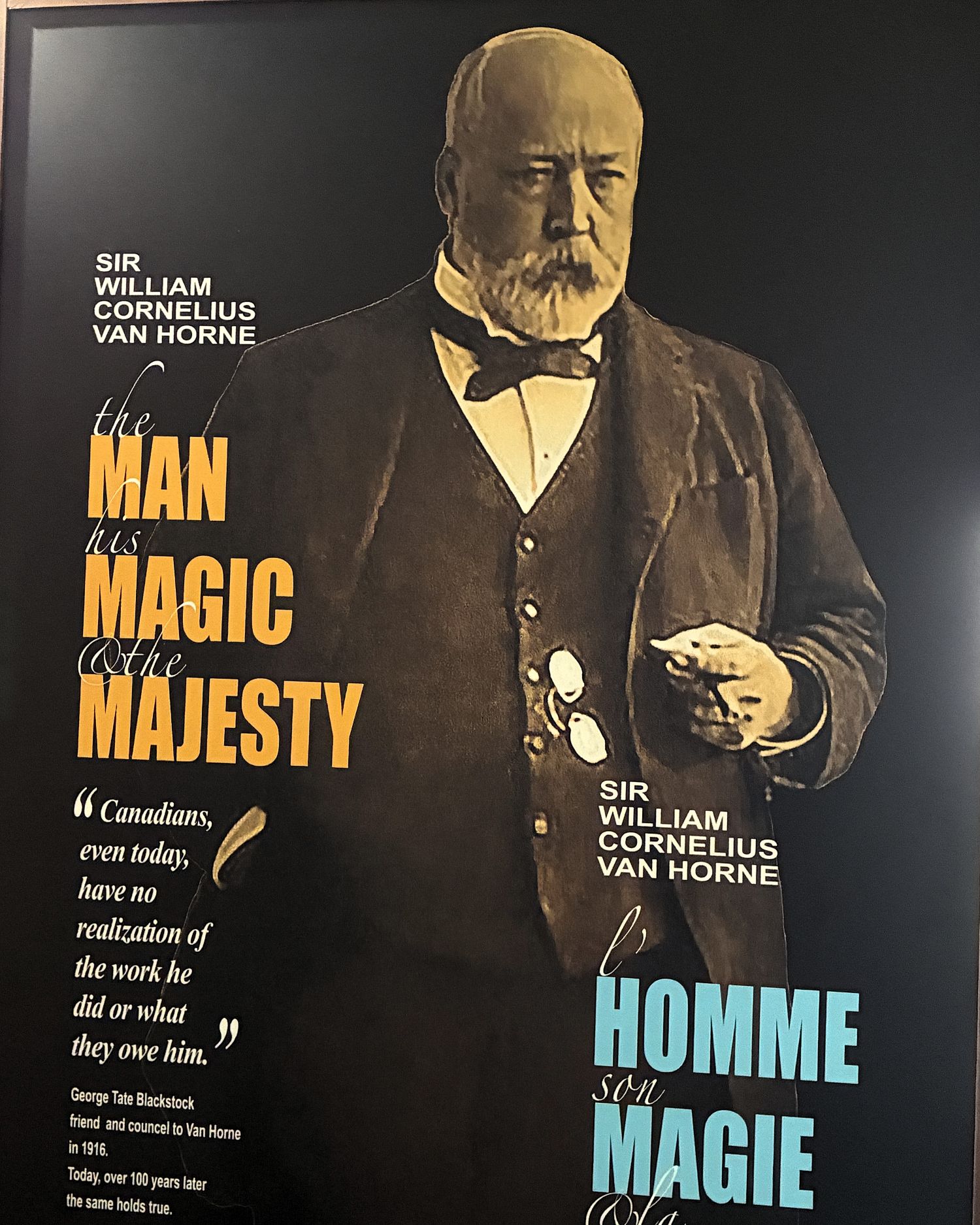
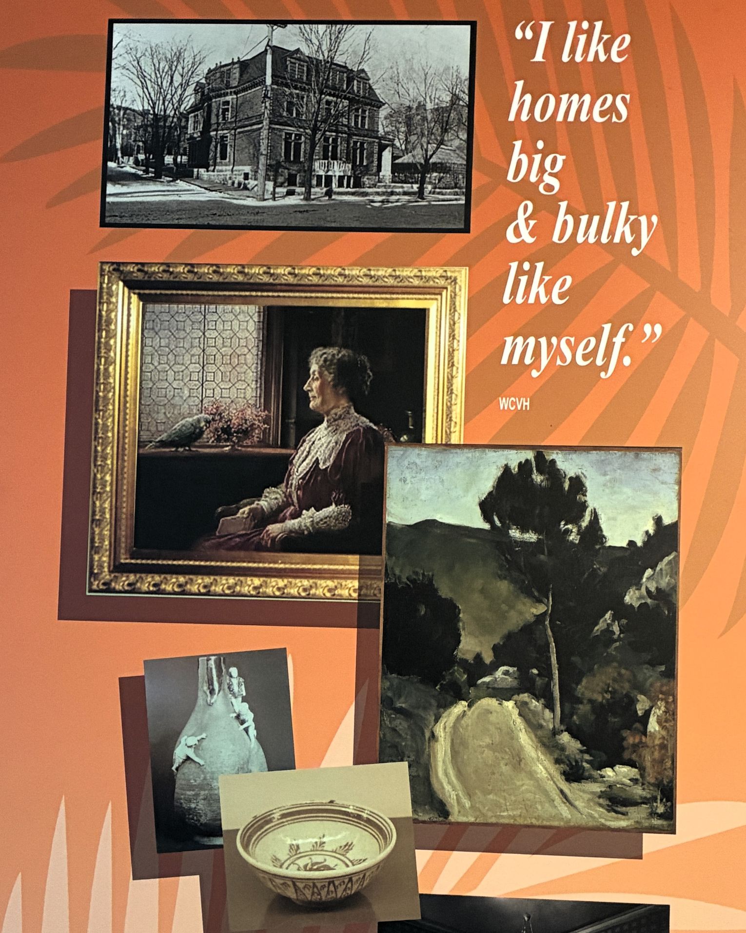
He was a brilliant business man!
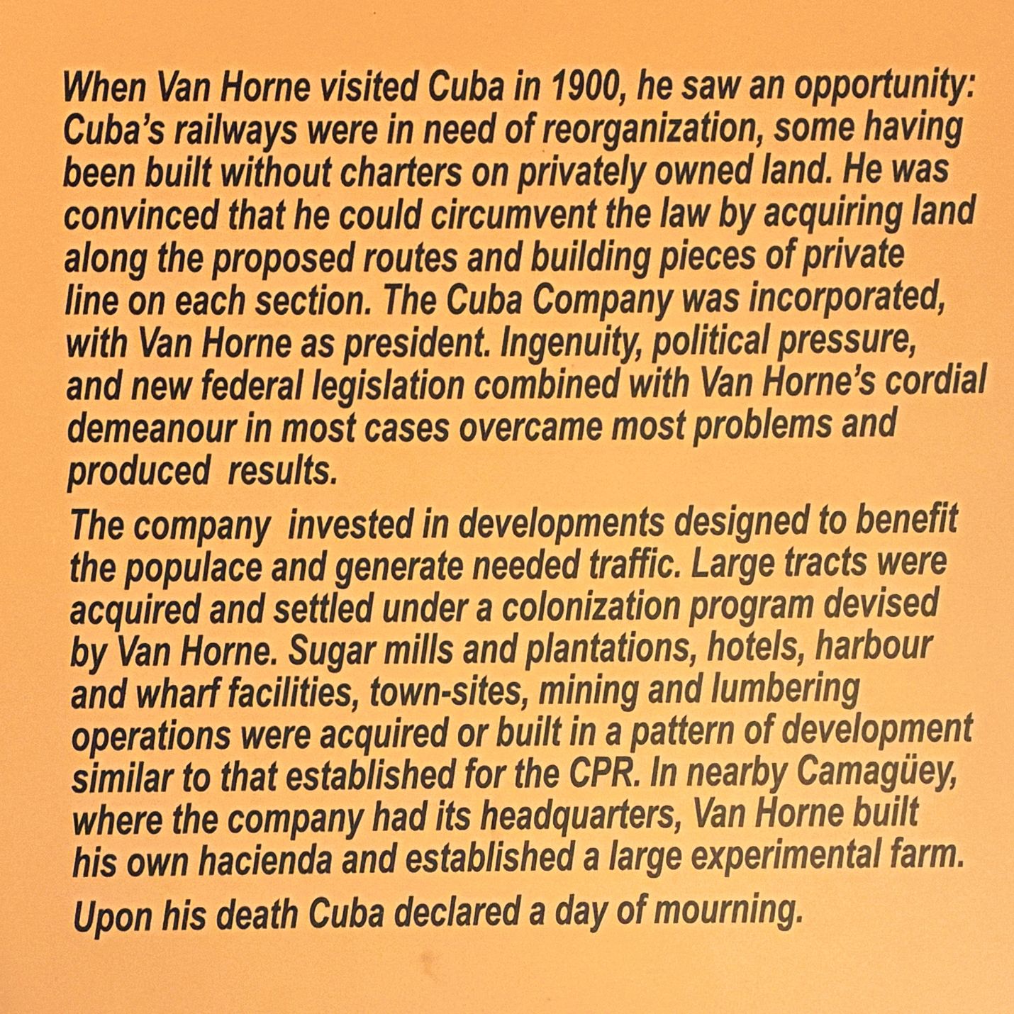
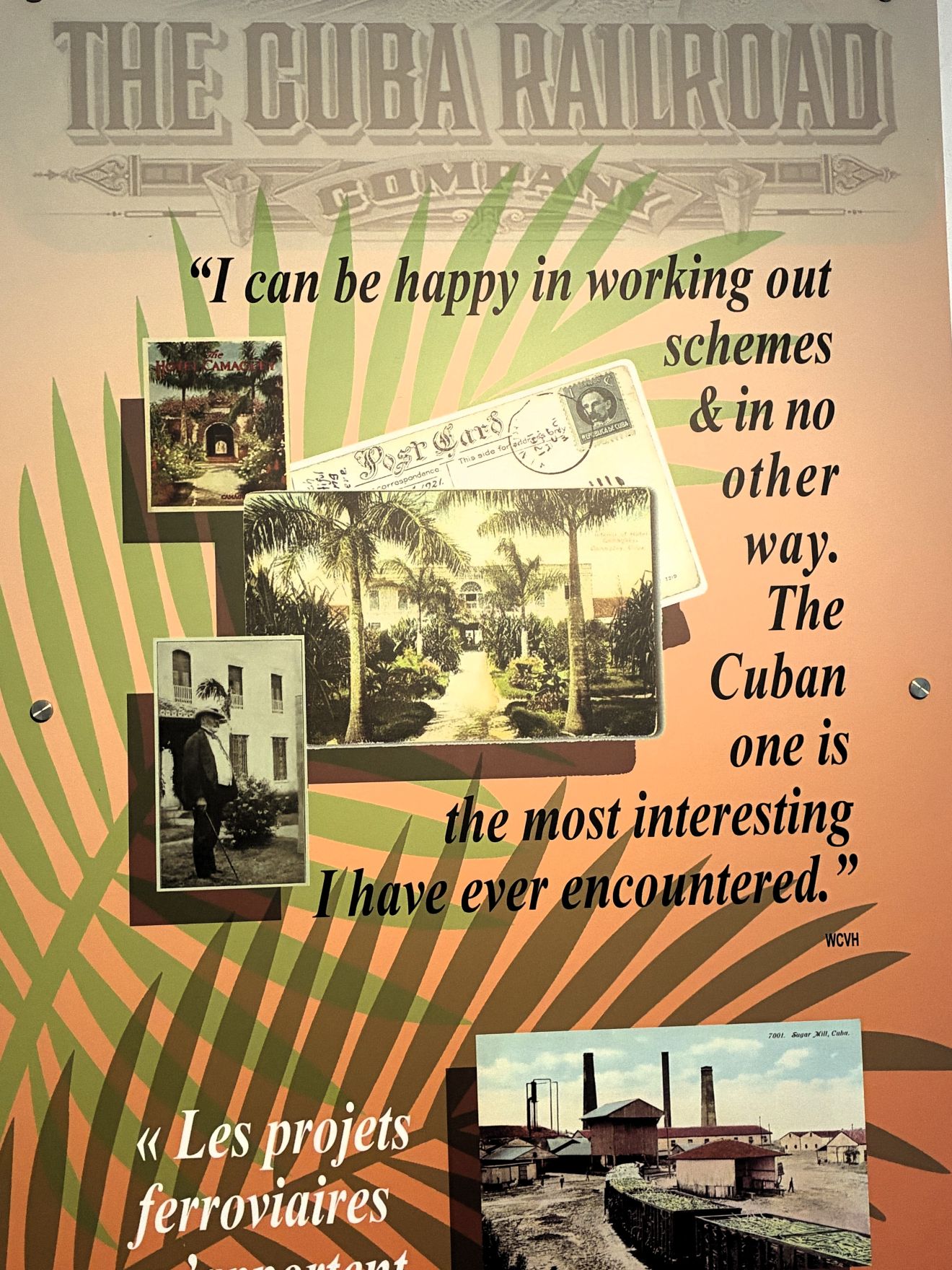
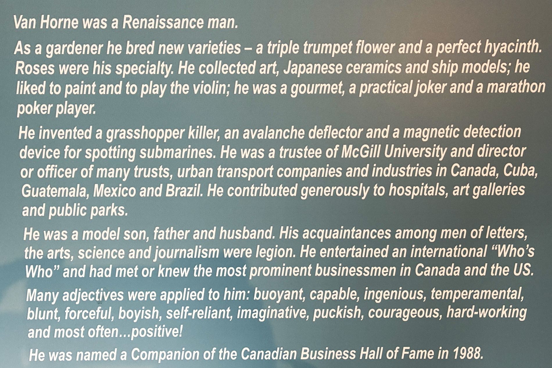
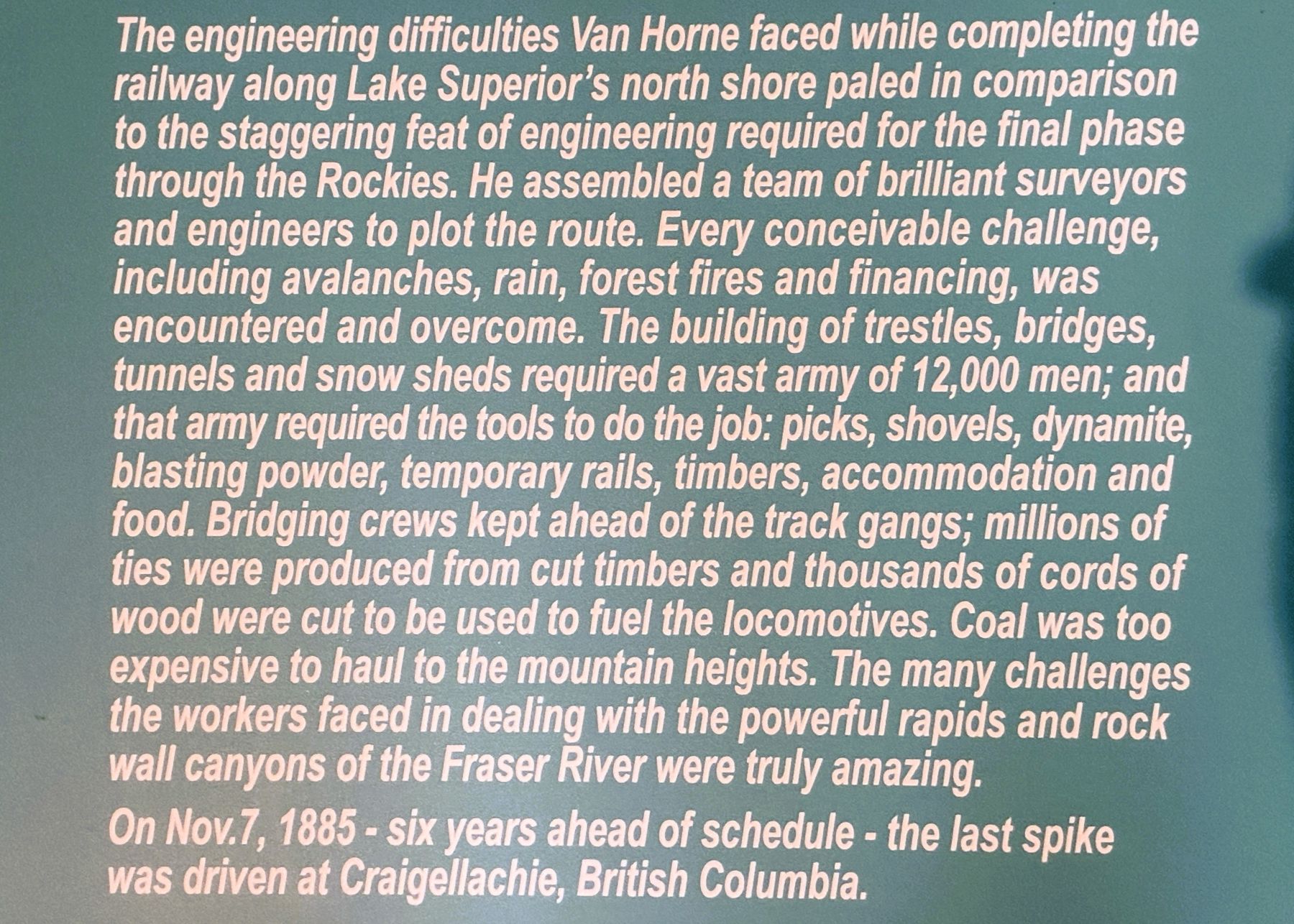
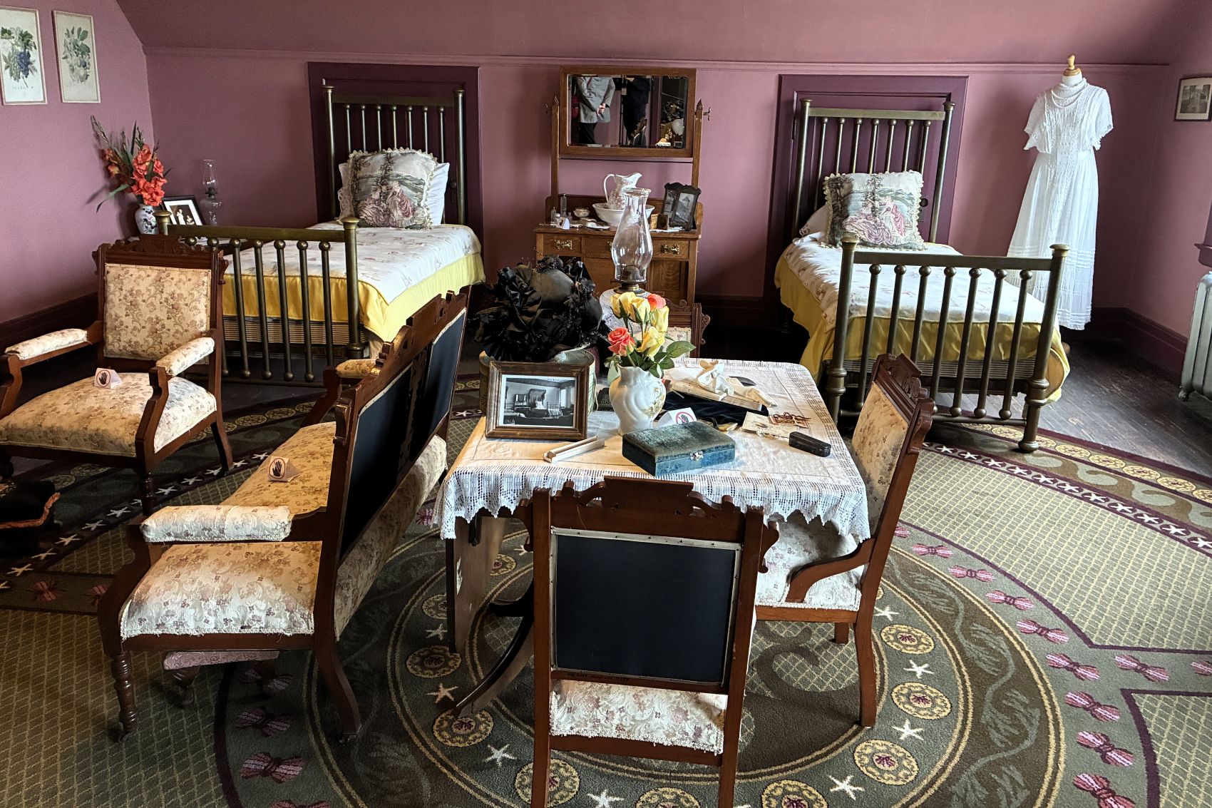
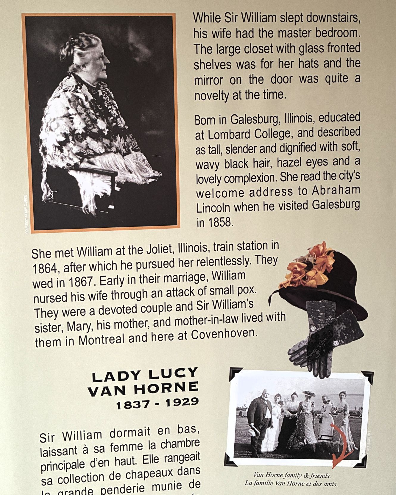
Sir William slept downstairs so as not to disturb the family; he stayed up late and got up early, sleeping about 4 hours. The master bedroom upstairs is where his wife slept.
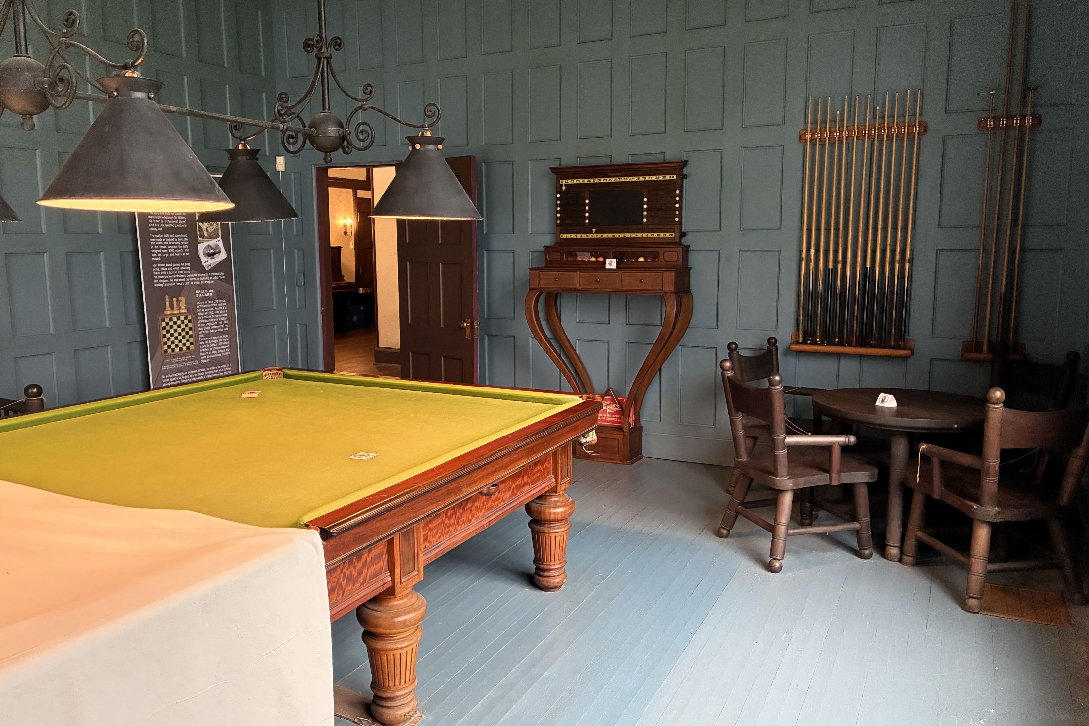
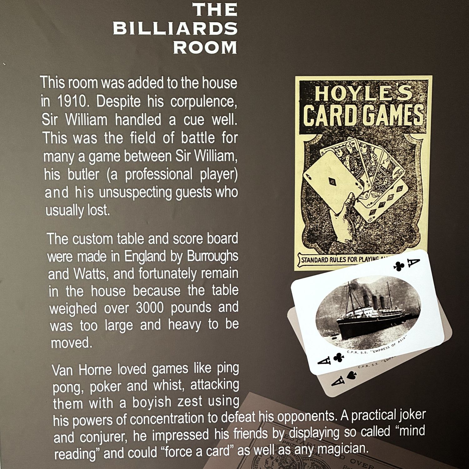
The Billiards Room – the table was larger than standard, but we were not told how much larger…
Sir William was an artist and some of his paintings were on display.
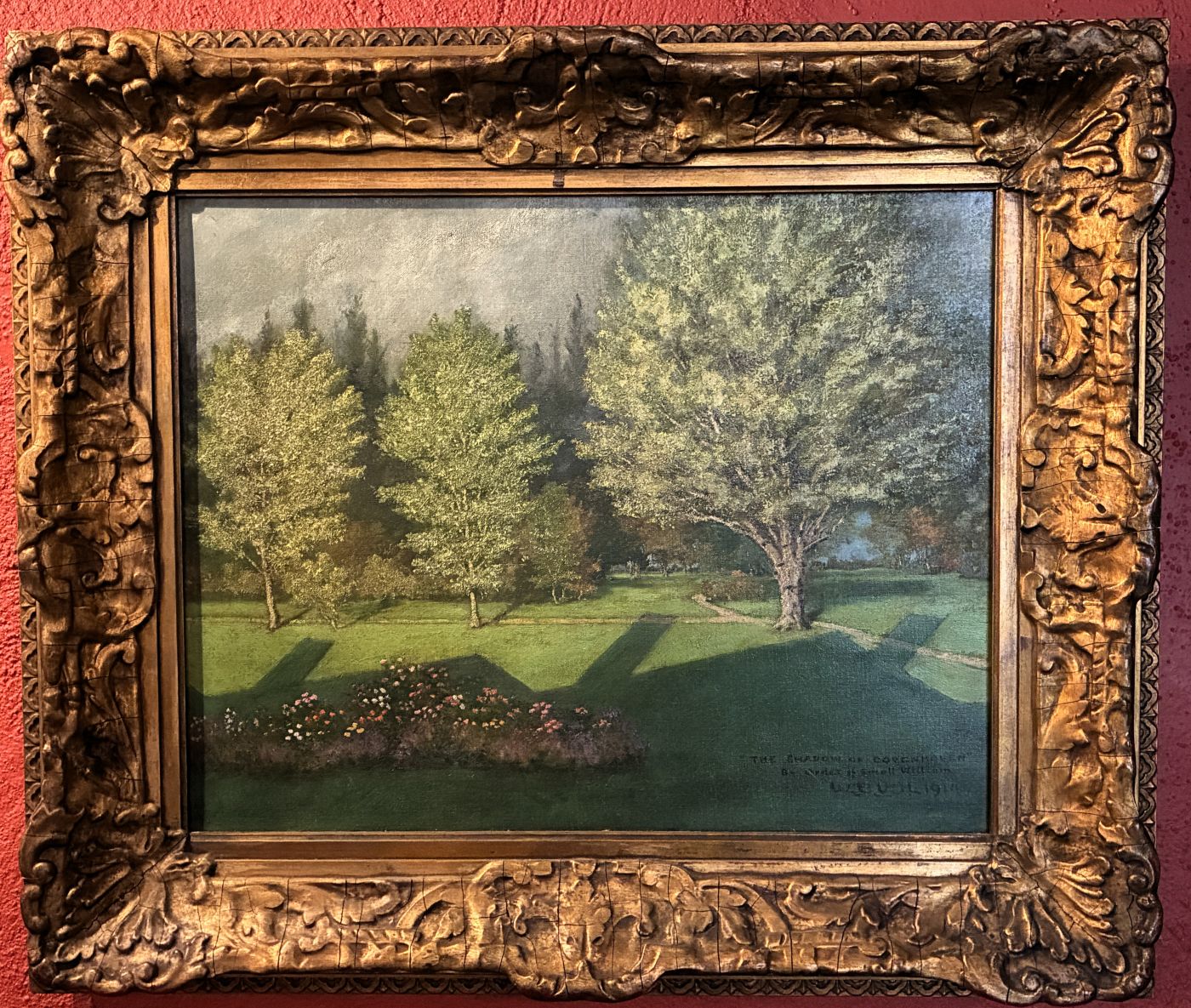
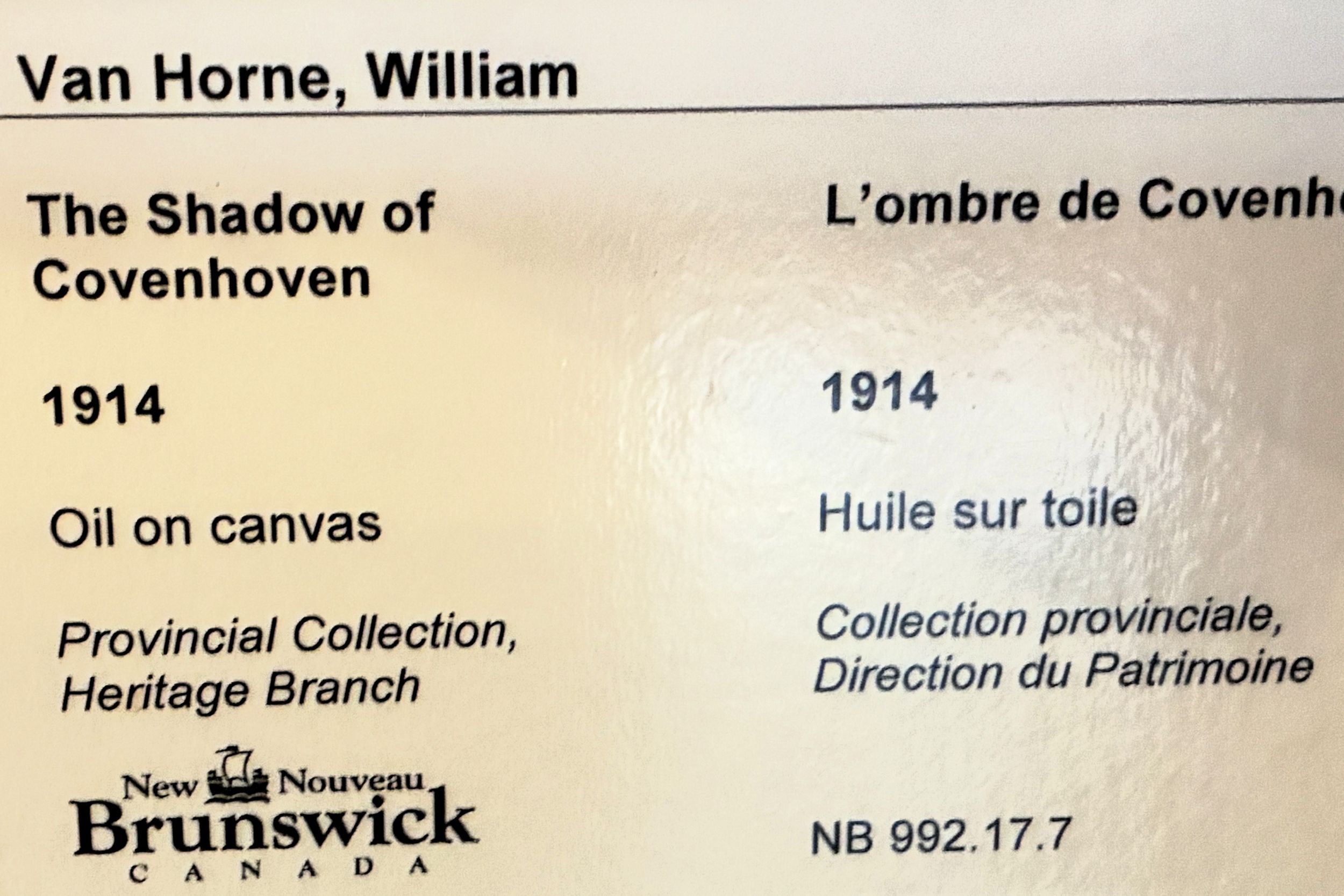
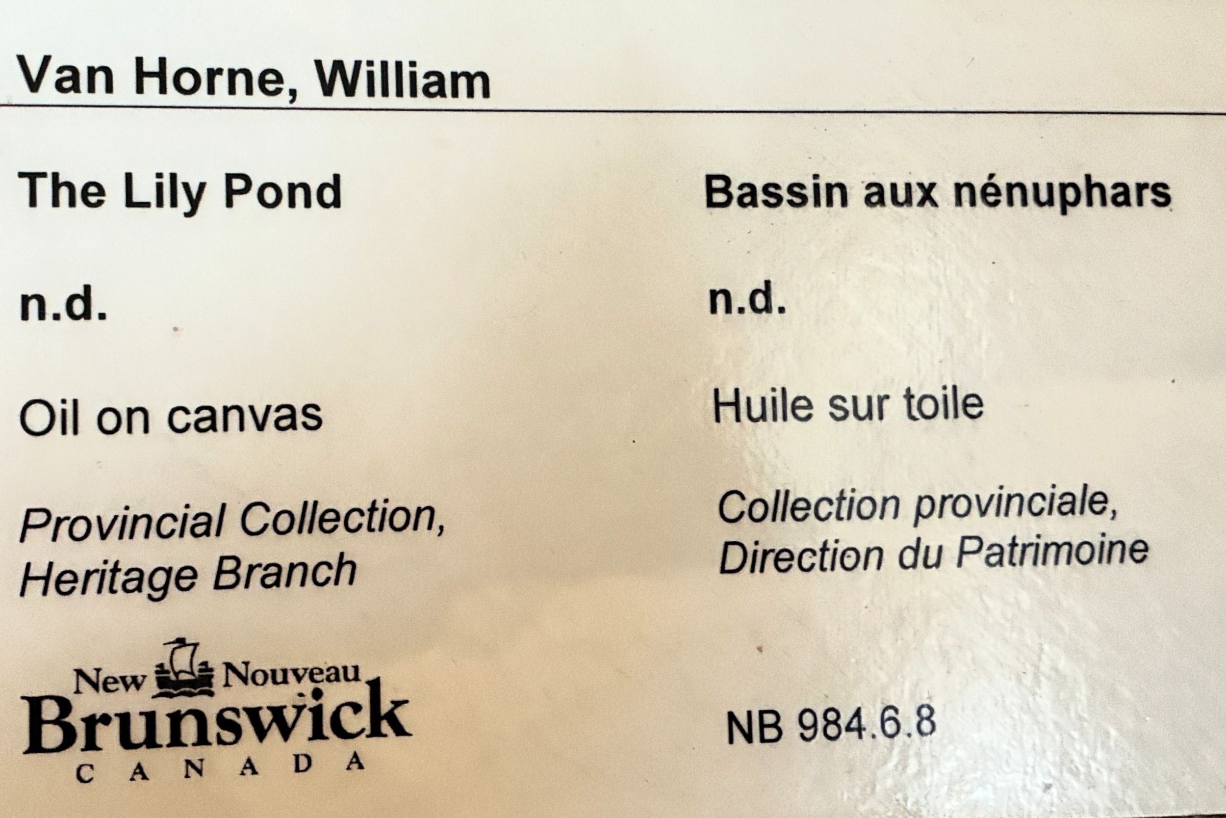
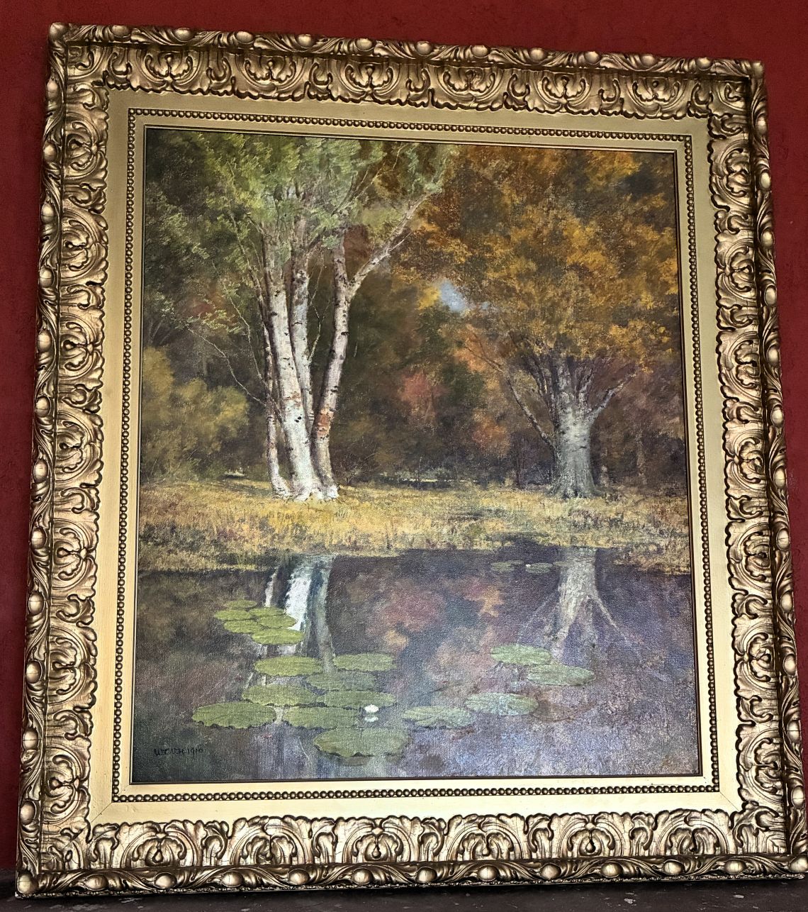
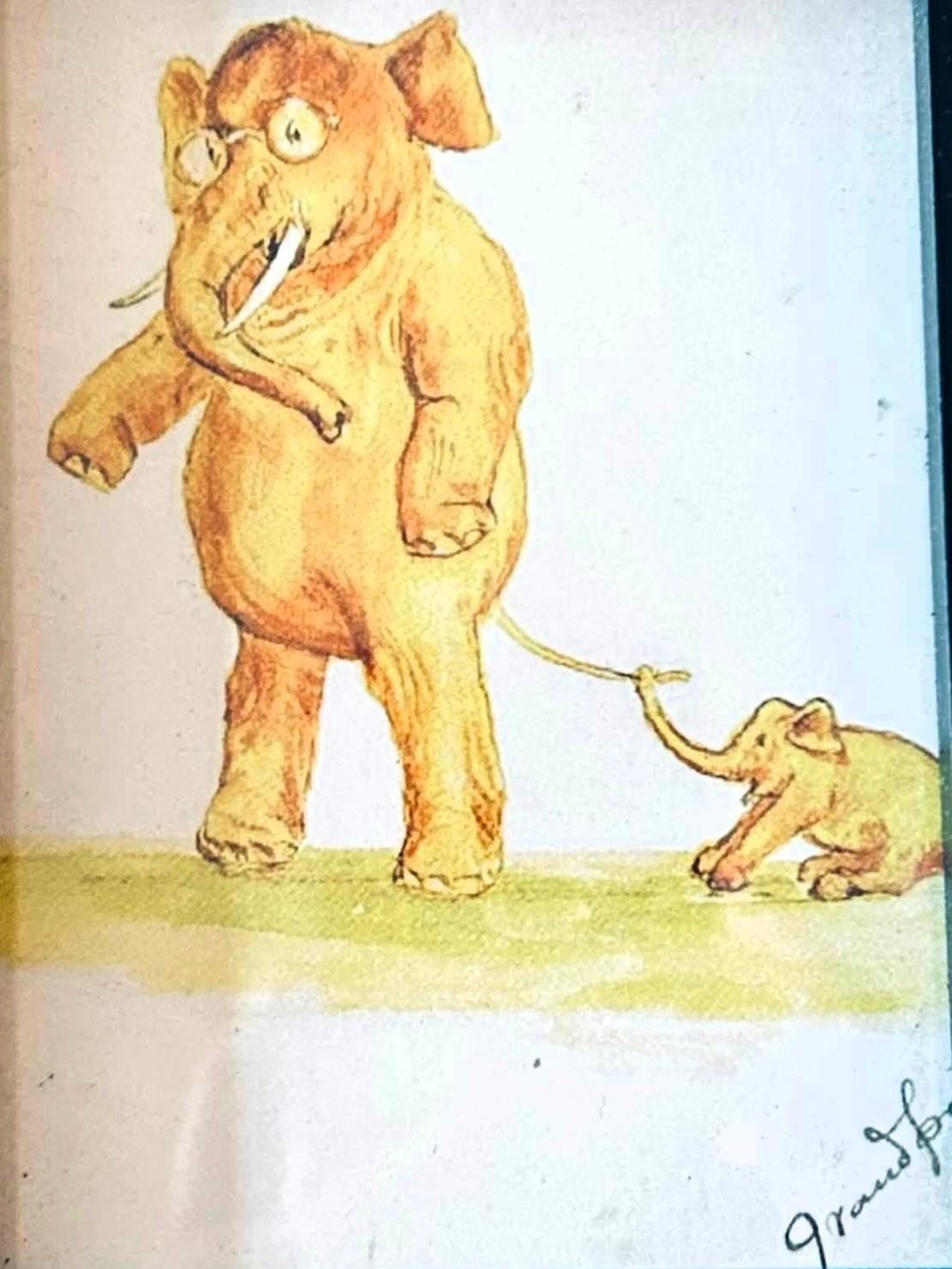
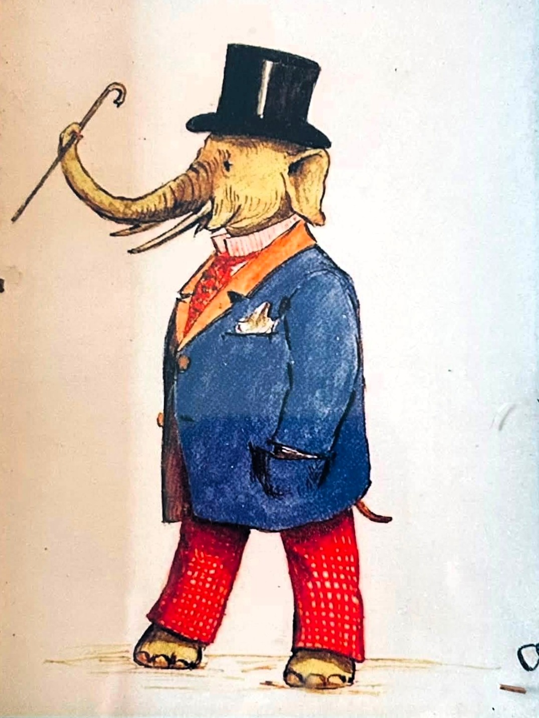
Sir William traveled frequently and drew postcards that he sent home to his grandson; several were compiled into a book.
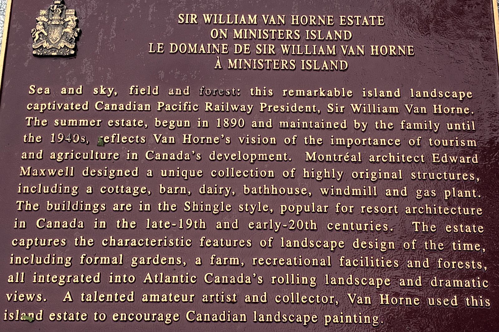
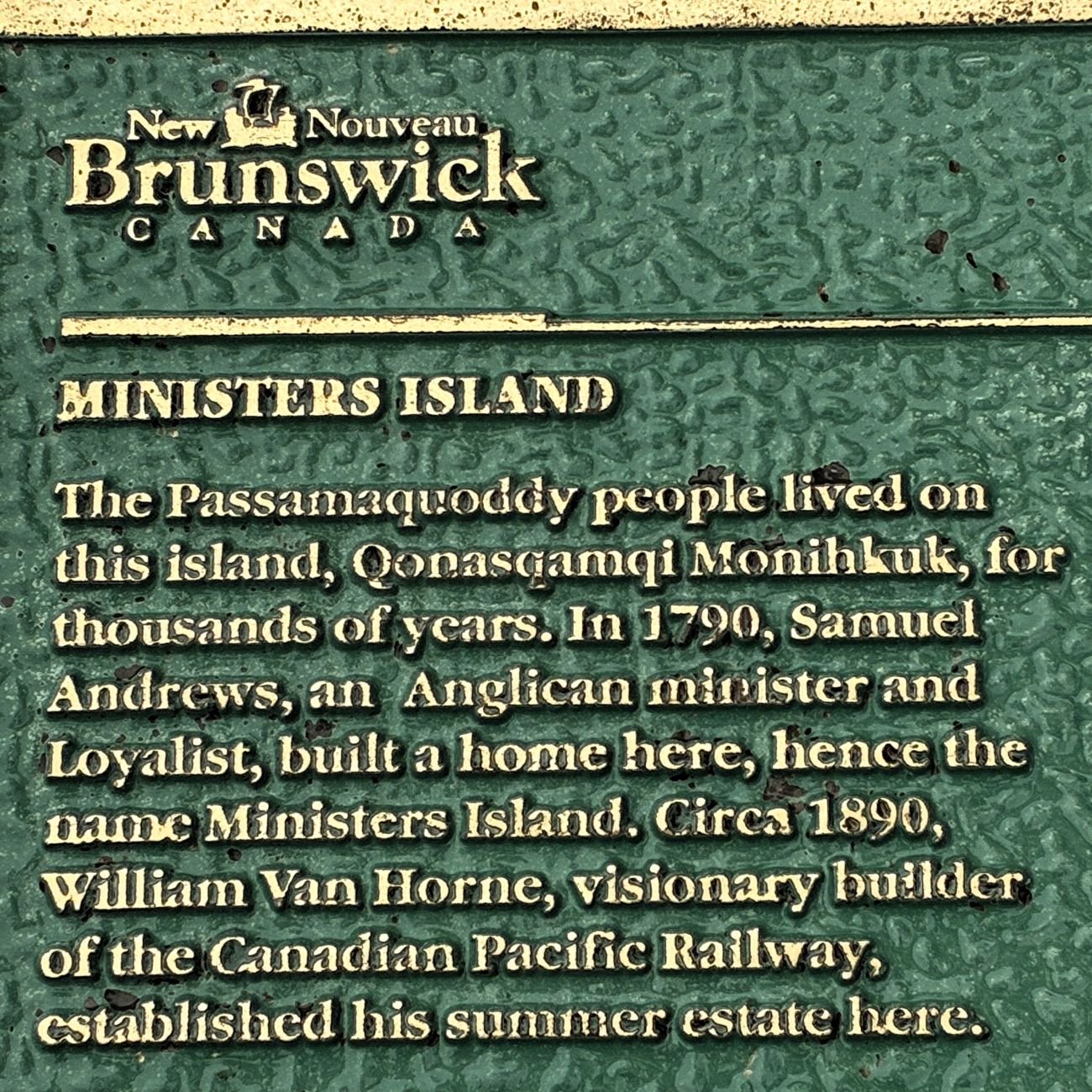
After touring the home, we headed outside to see the bath house. These plaques gave more information about the island and the estate.
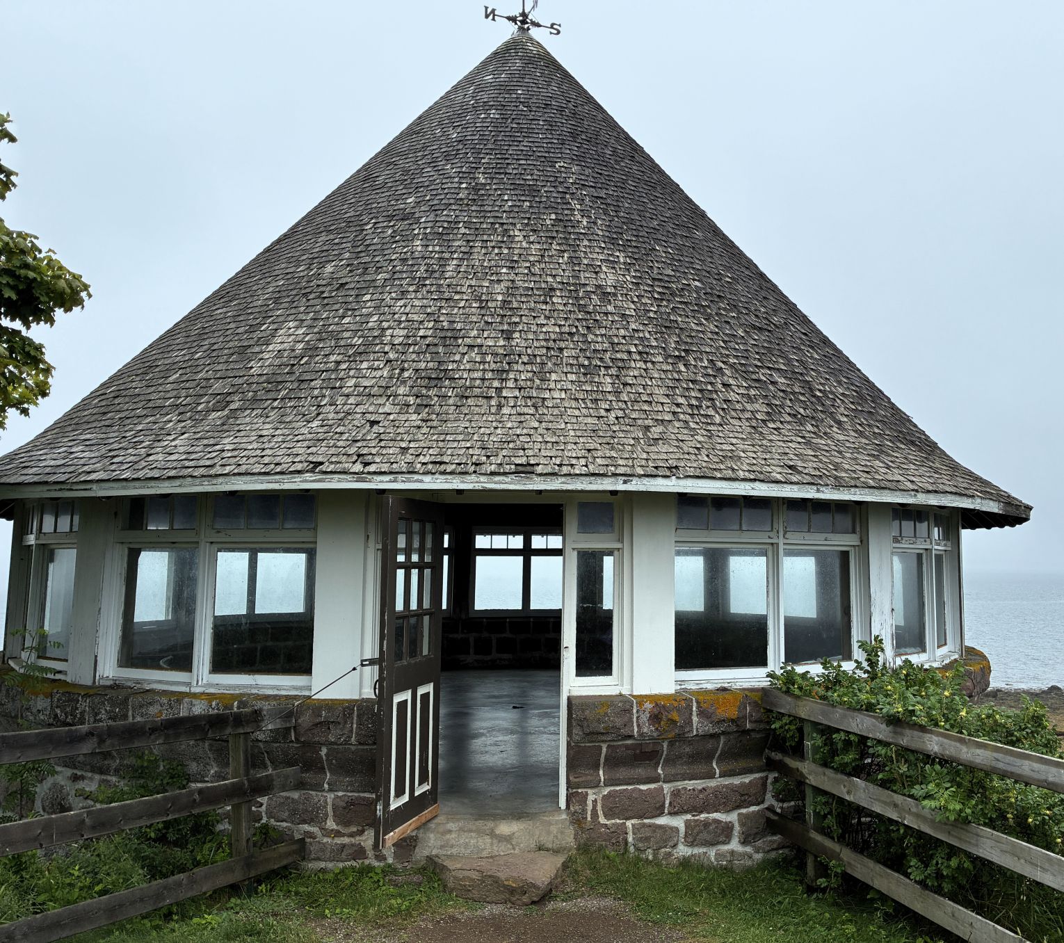
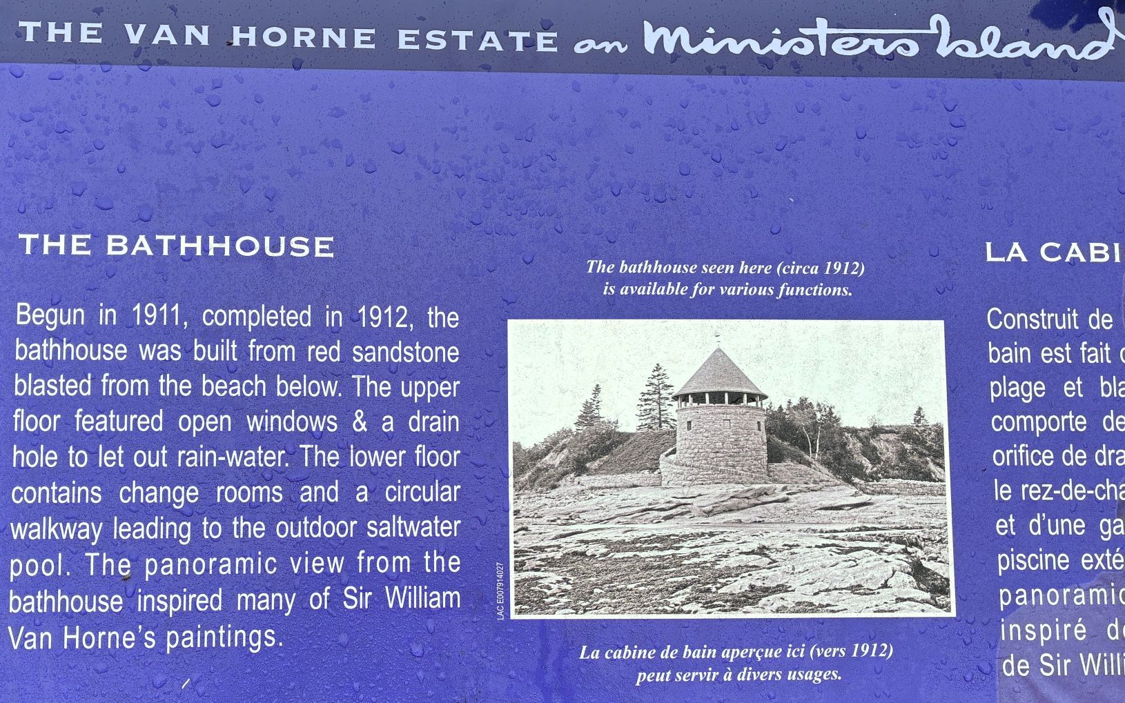
A view from the upper level of the bath house. We couldn’t determine where the saltwater pool had been.
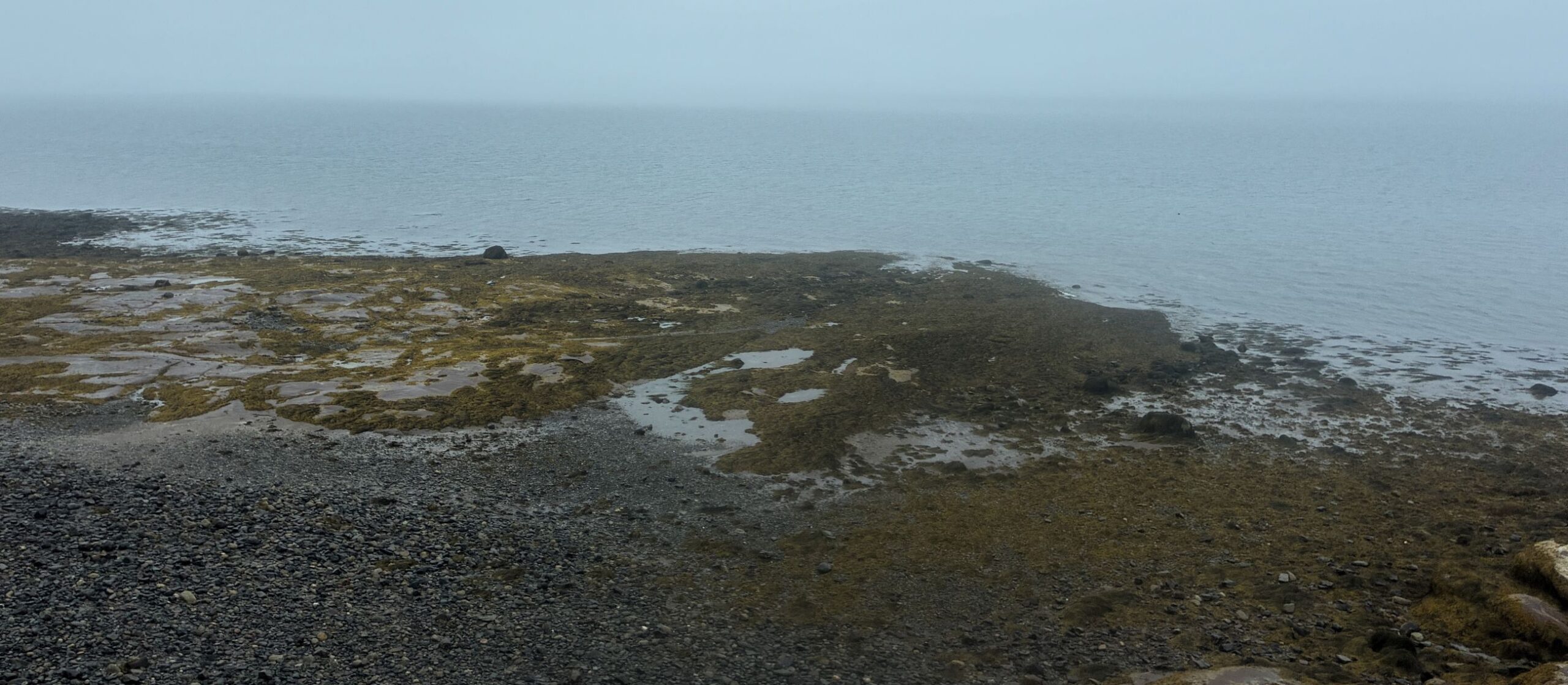
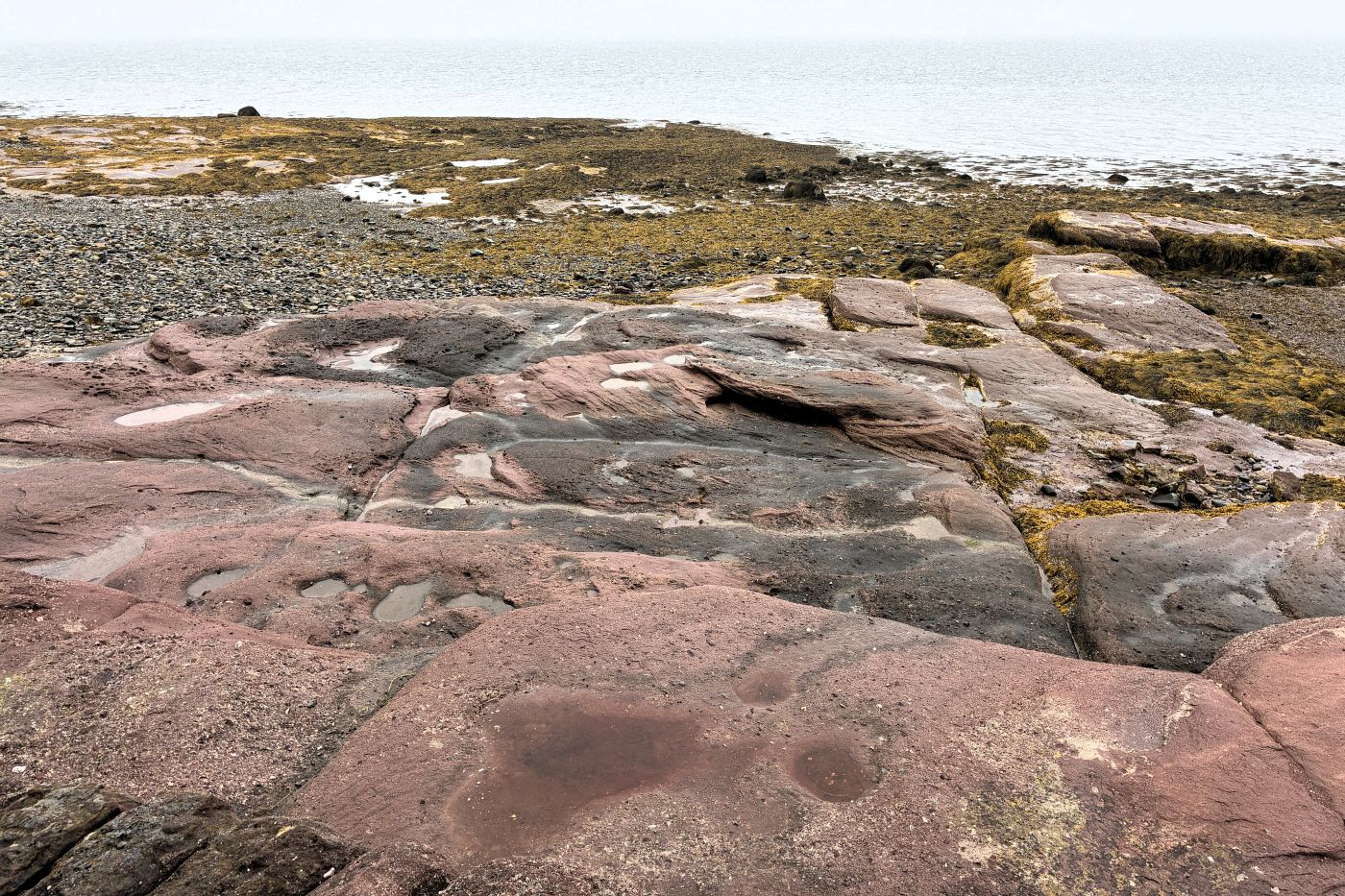
Looking out from the lower level of the bath house, the sandstone was evident but still couldn’t find the site of the pool. The sky was so overcast, it’s hard to see where the sea ends and the sky began!
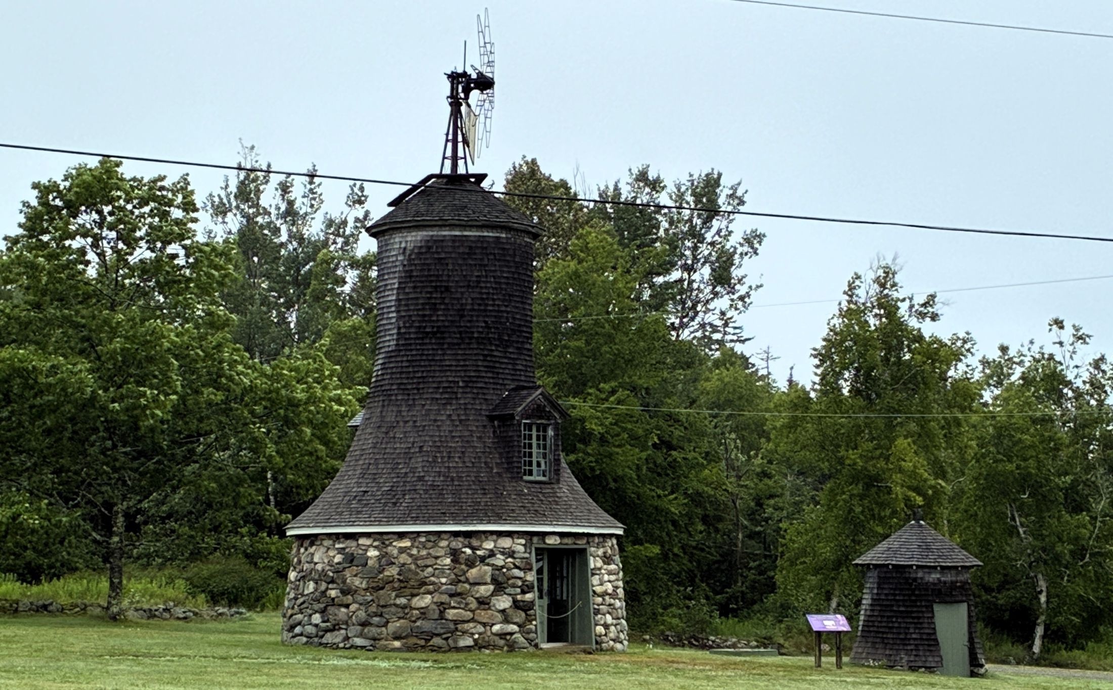
We did not get close to the windmill and gas house – or explore the gardens – it was still a bit drizzly out.
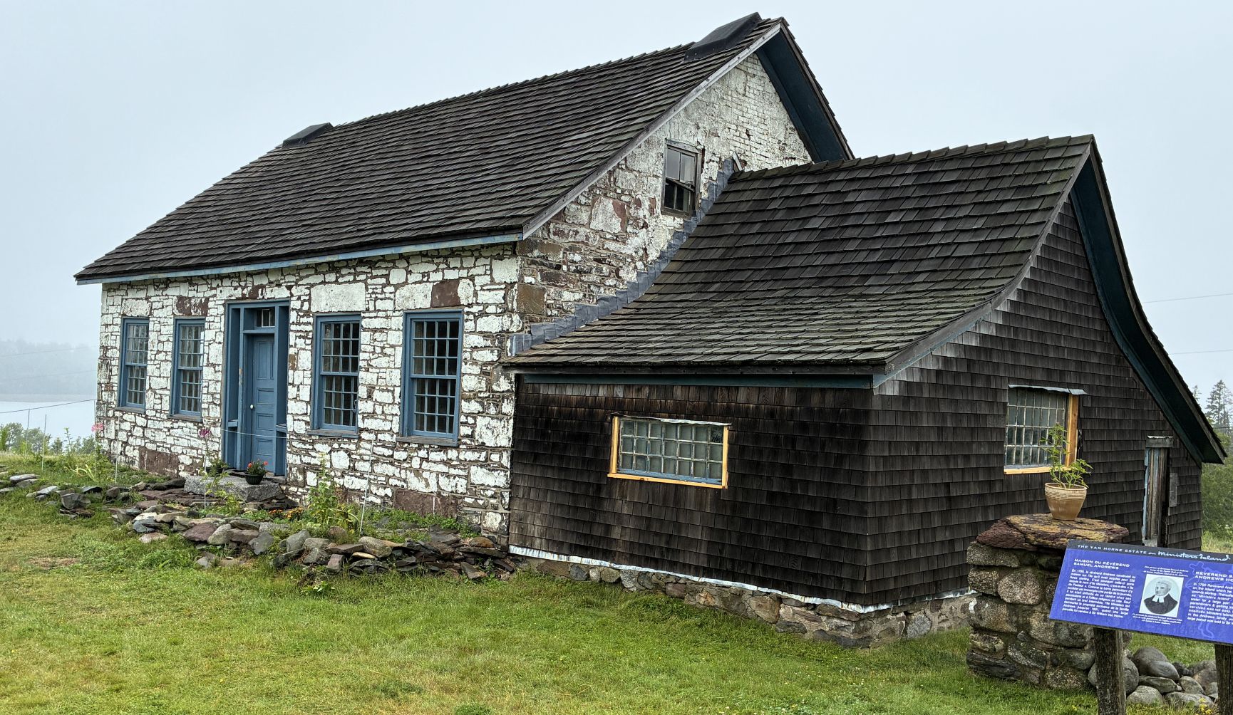
In 1790 Reverend Samuel Andrews built this house on the island which he purchased for £250 pounds sterling. Thereafter it became known as “Ministers Island”. With the bar under water for a large part of the day, visiting parishioners & getting into town was not easy. Except for a brief interlude, Ministers Island remained entirely in the Andrews family until 1891, when a large parcel was sold to Sir William Van Horne.
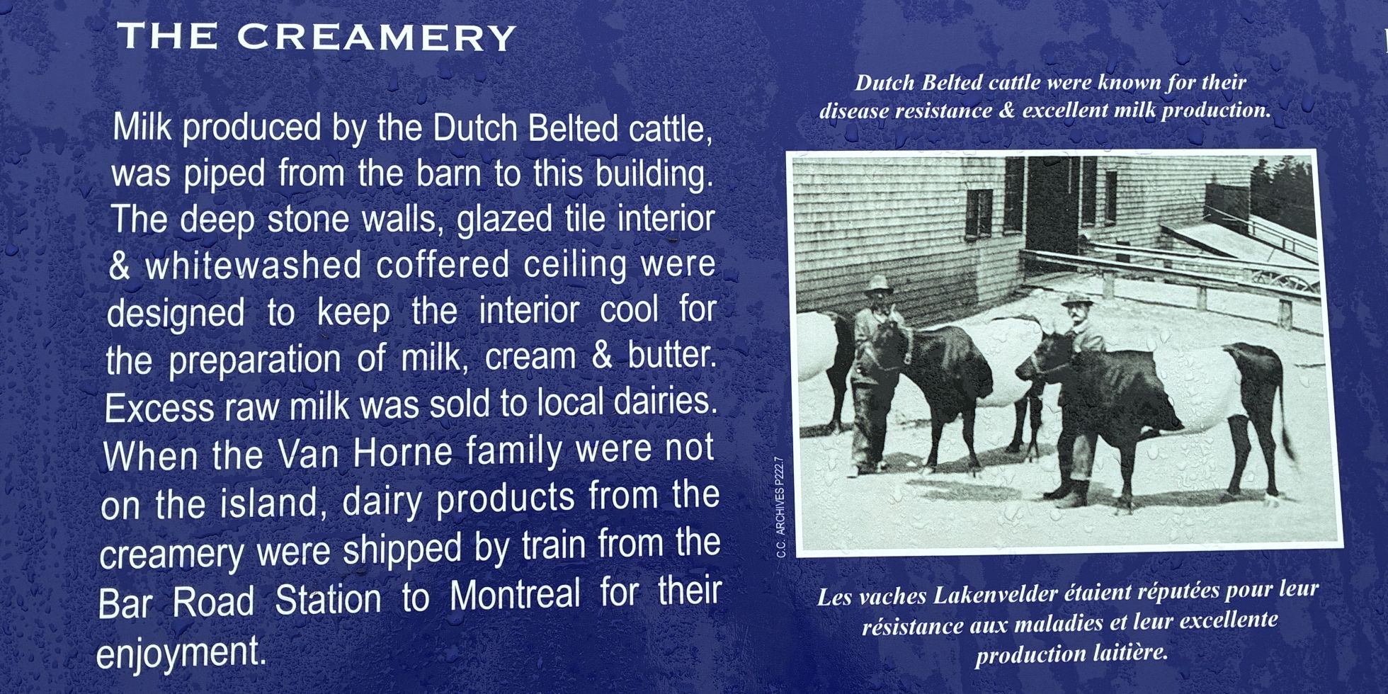
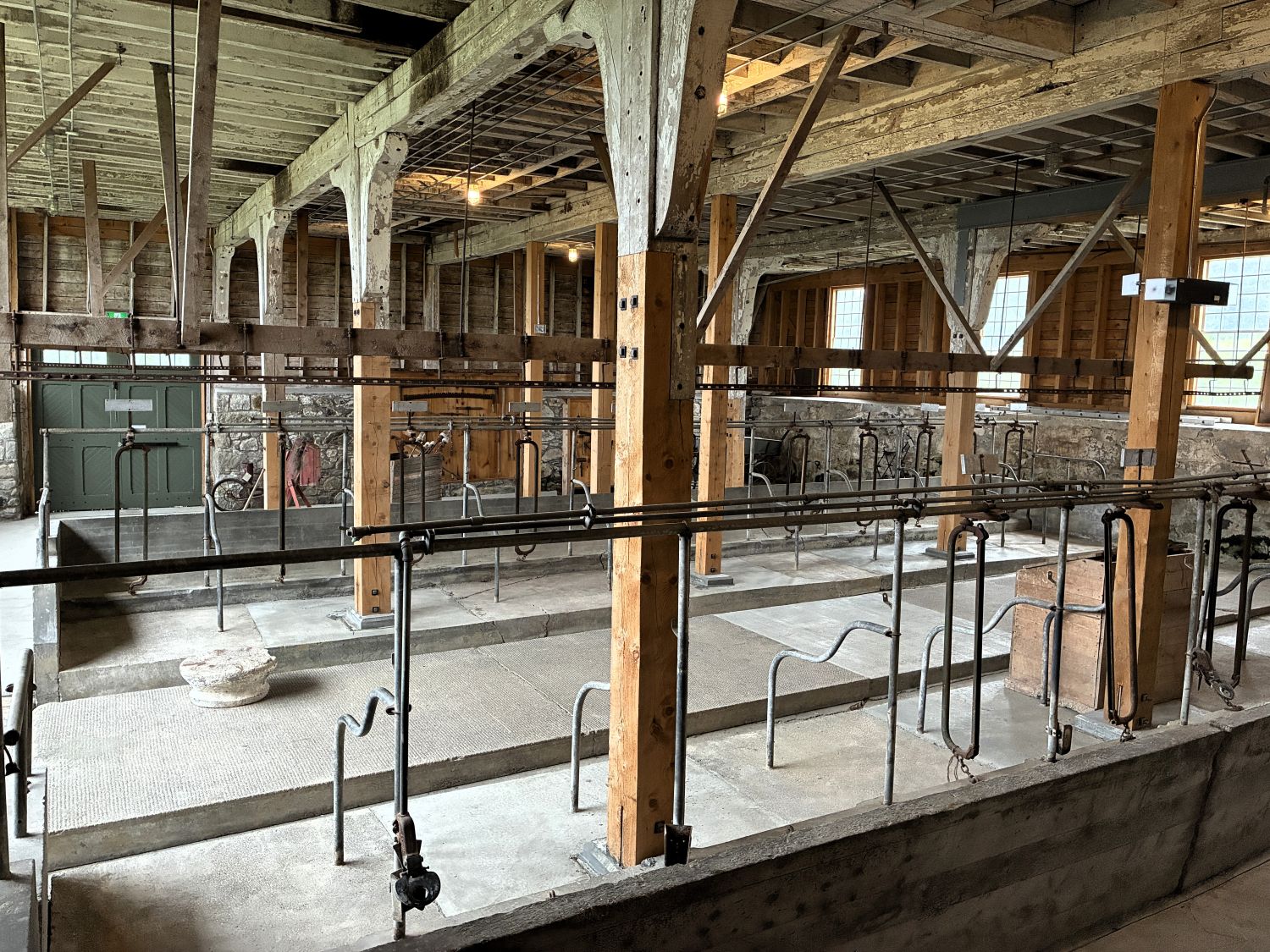
The creamery was not open to visit, but the barn was – and what a place that was!
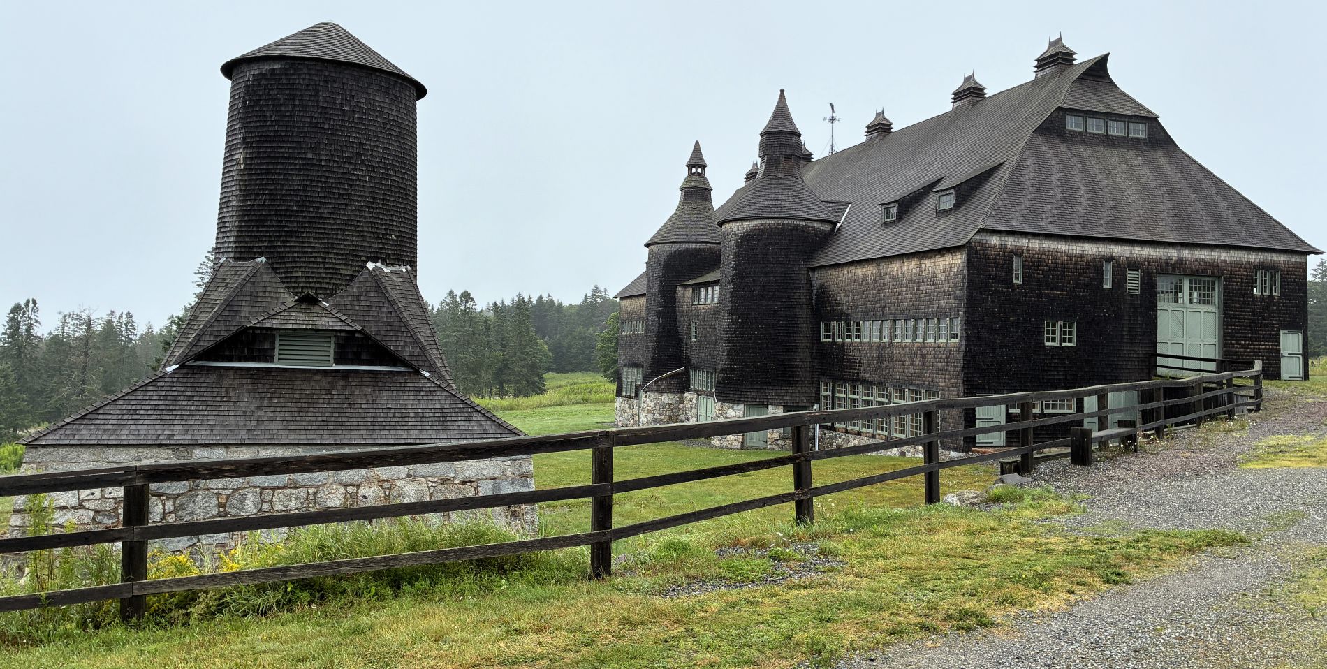
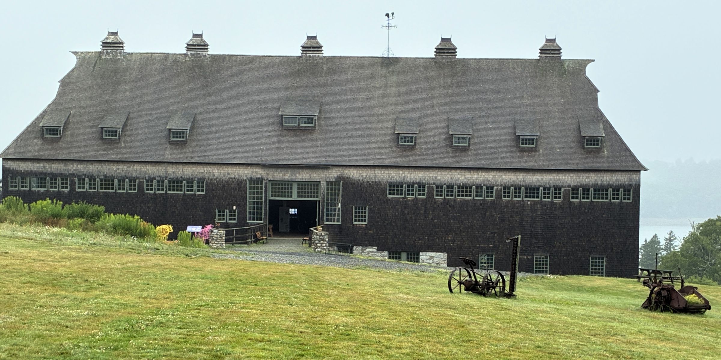
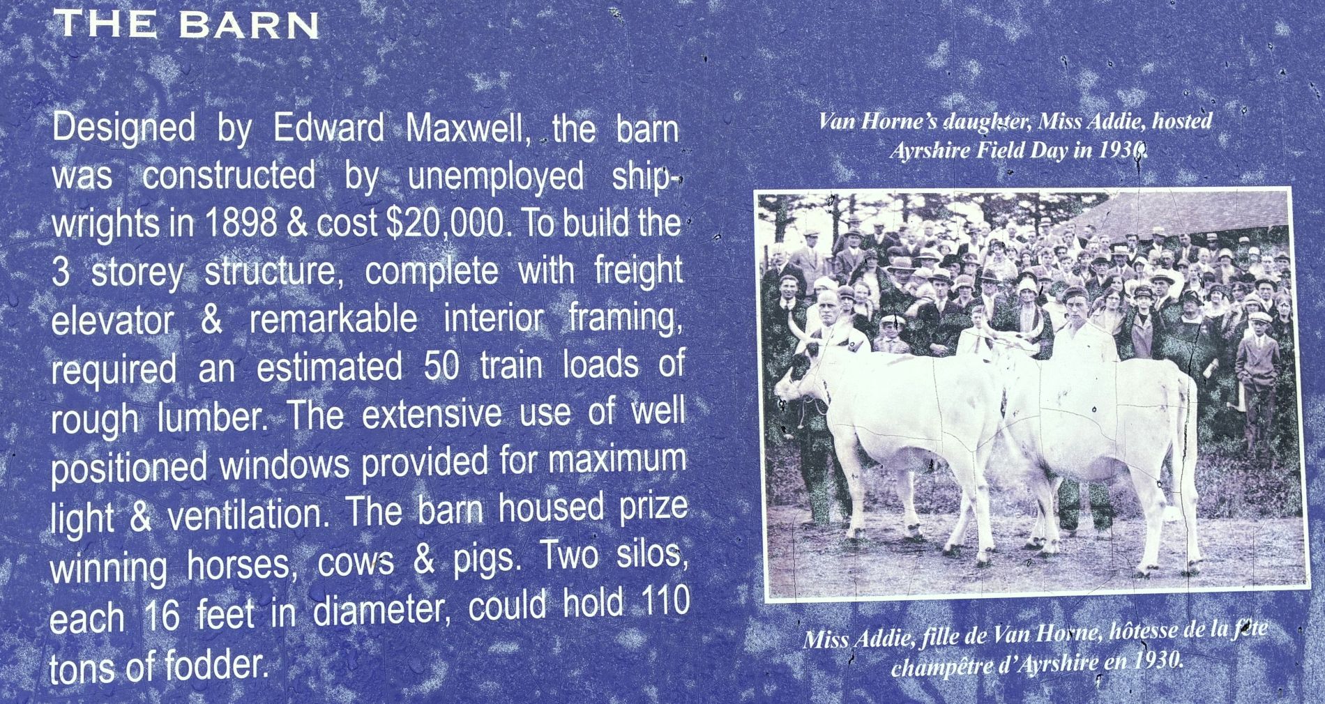
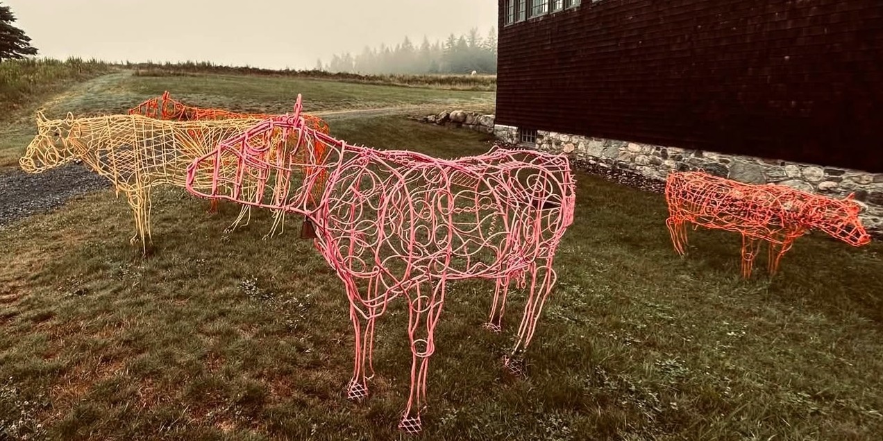
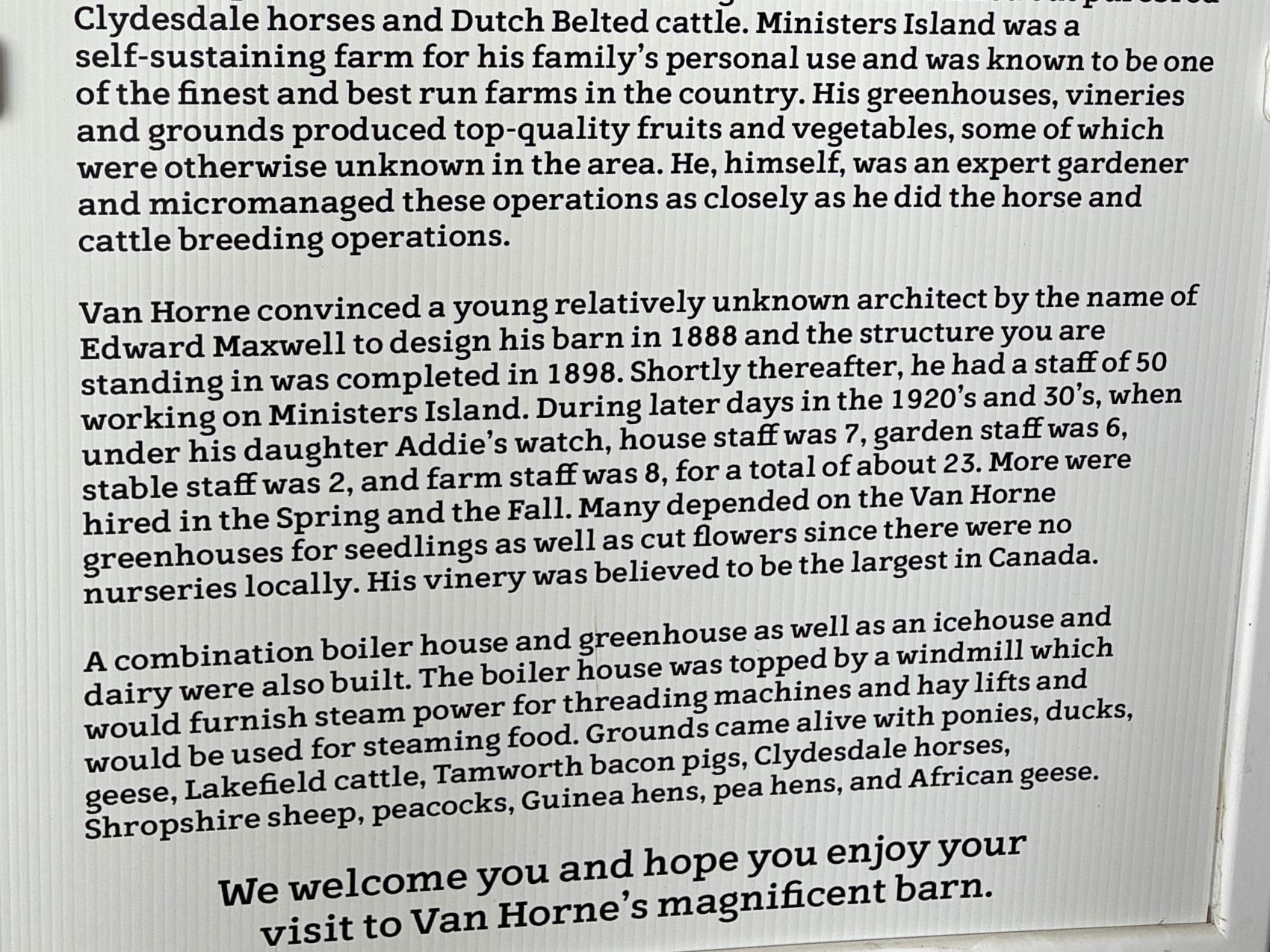
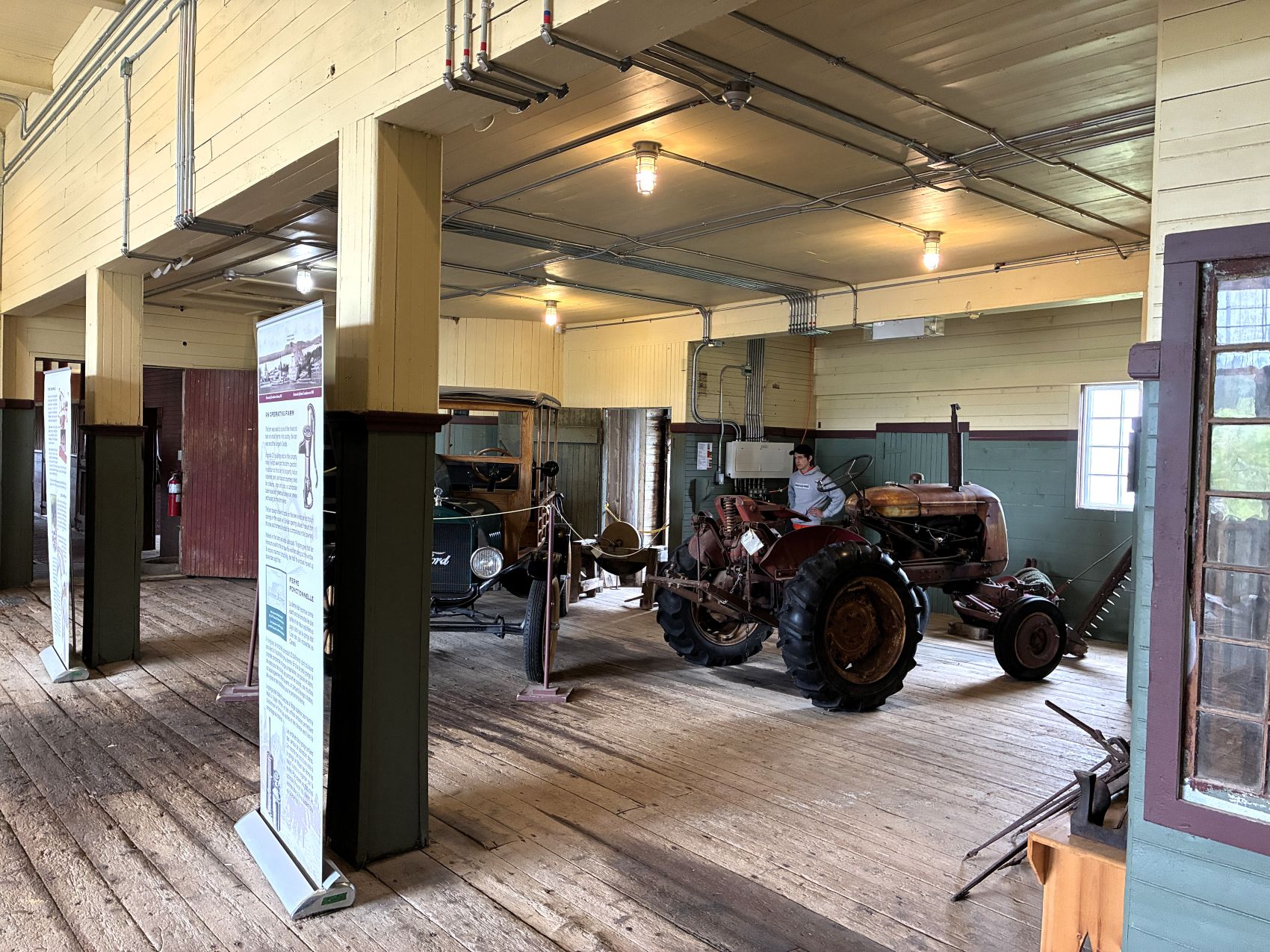
Entering the barn, we explored the middle floor.
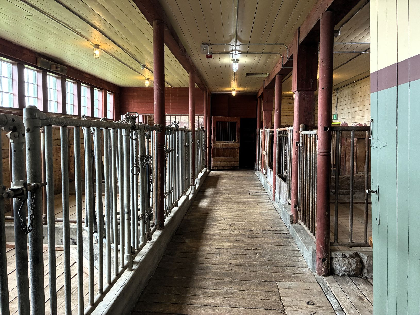
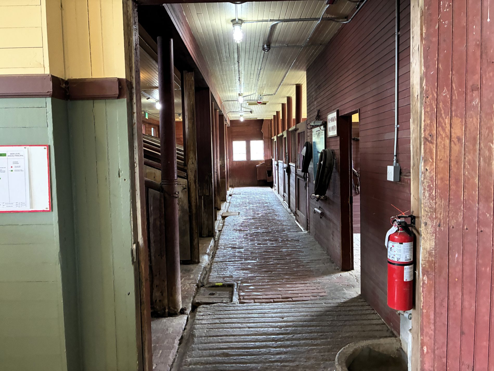
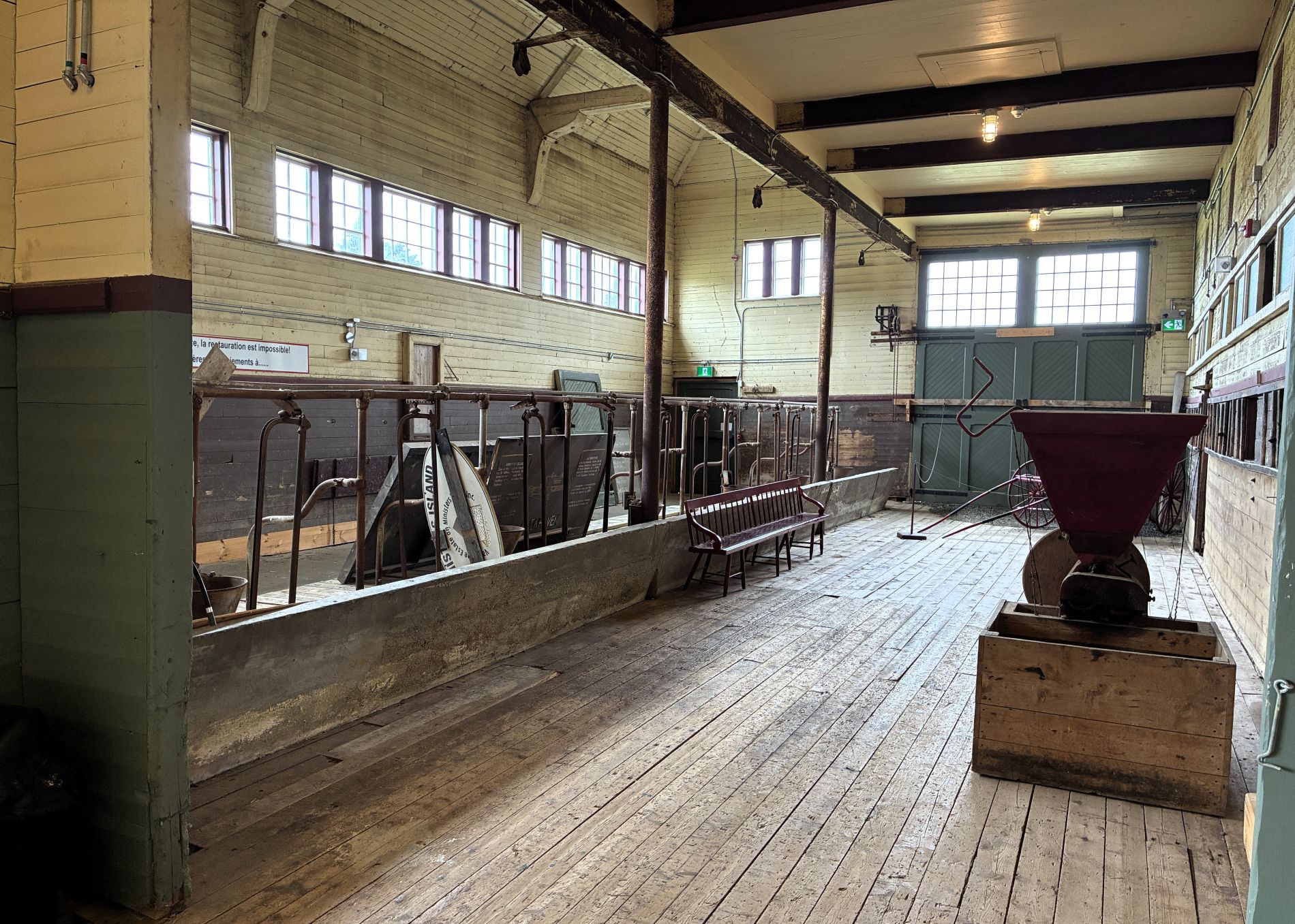
We couldn’t go to the top floor,
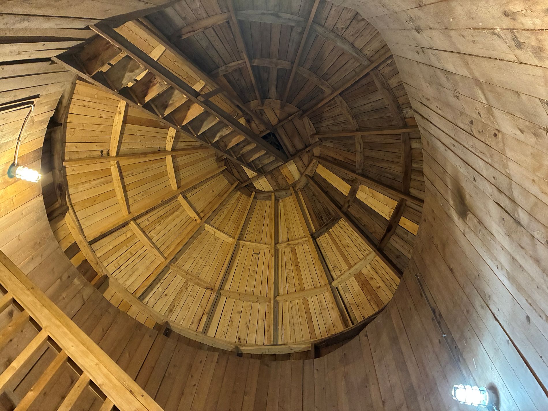
so we went downstairs.
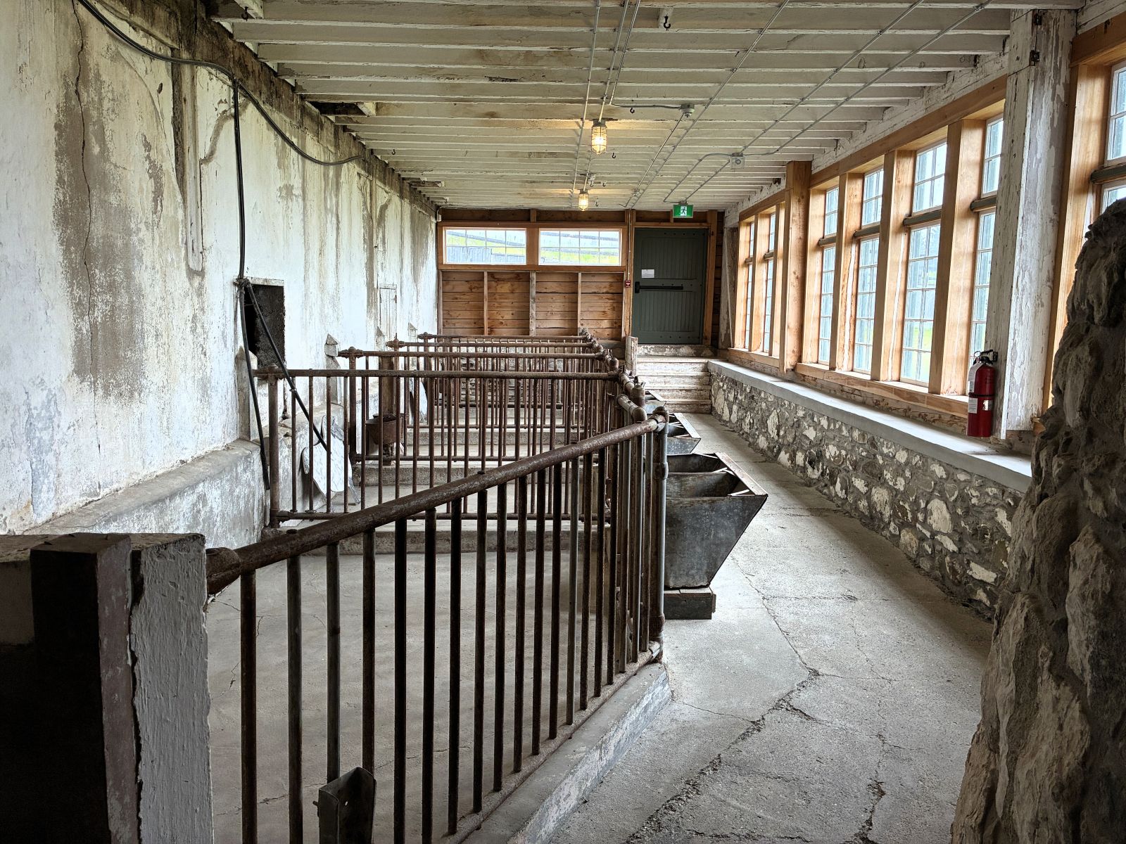
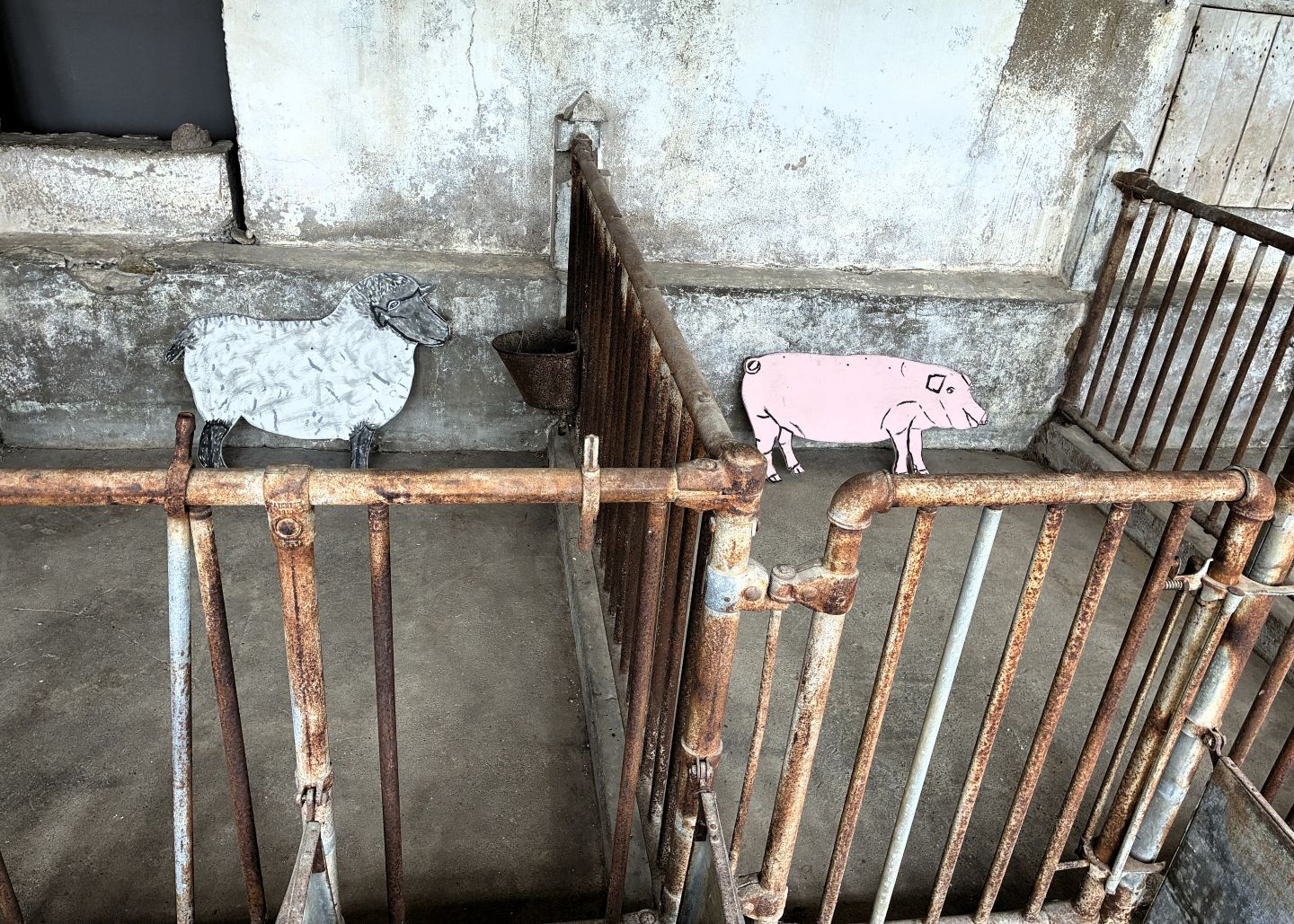
We headed back off the “part-time” island before the tide came in covering the connecting bar. At full tide the bar is under 14 feet of frigid saltwater!
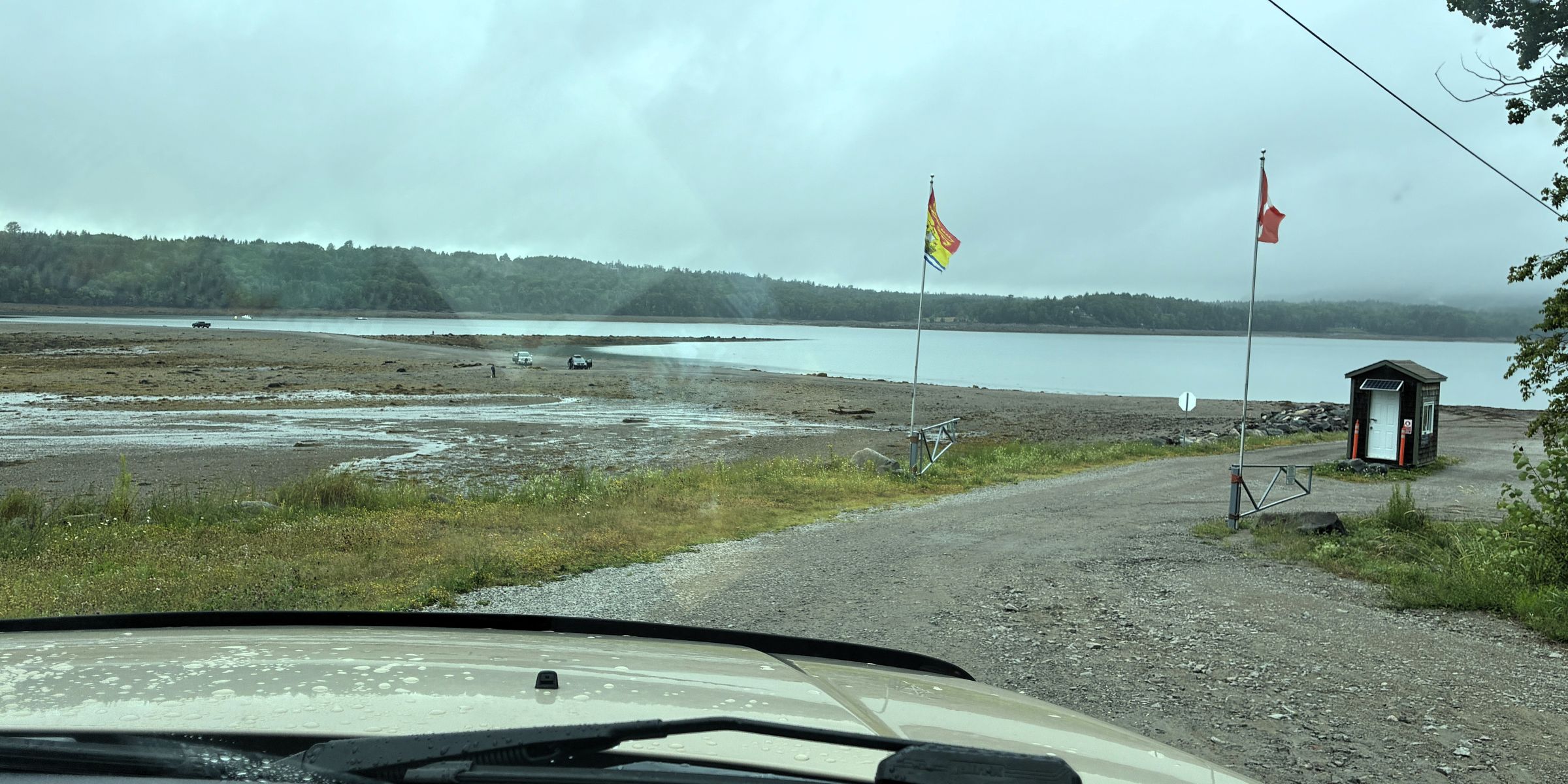
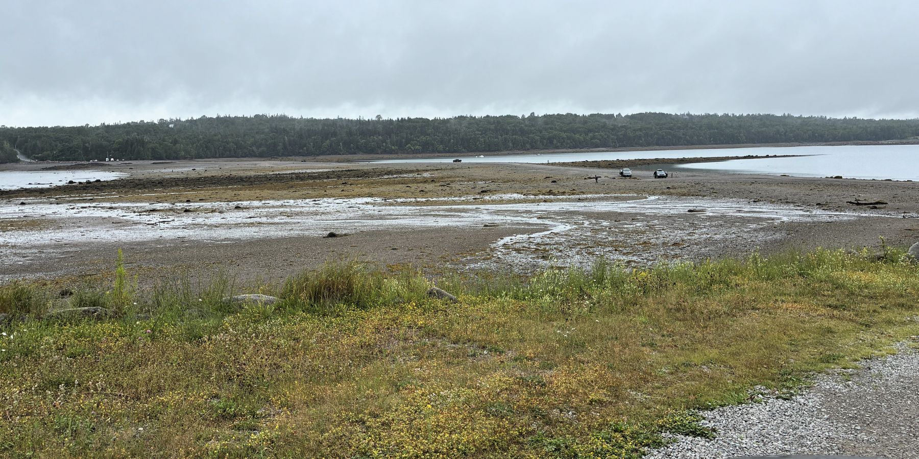
There not too many places where you can drive on the ocean floor and the gravelly “road” on the bar was obviously not marked! 😊
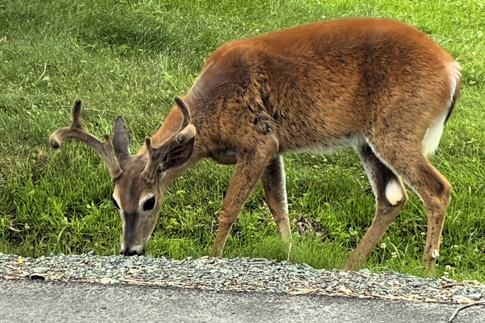
The people of St. Andrews love their deer, and they wander about the area. This beauty was right by the road and didn’t run off when Jim stopped and took this photo!
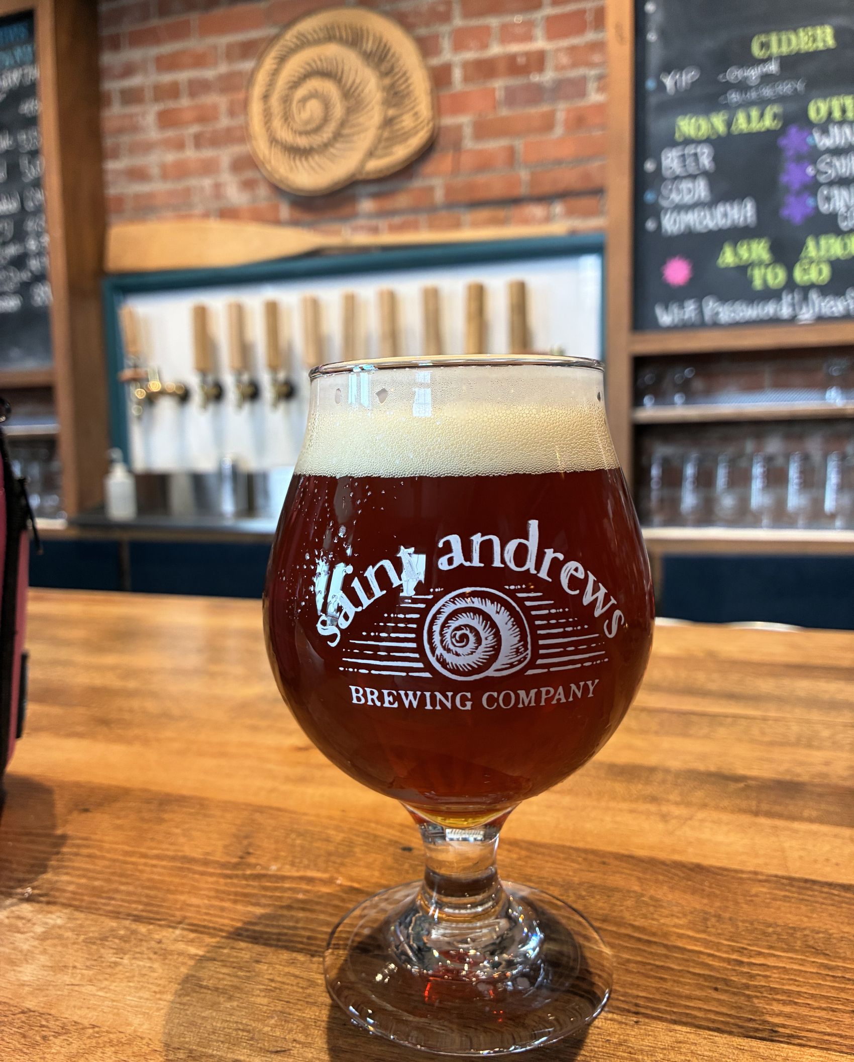
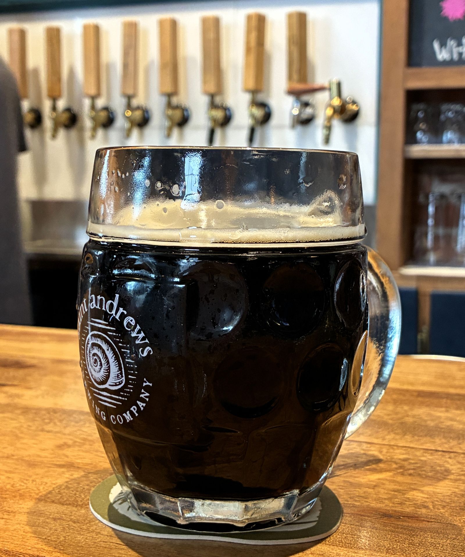
We stopped off at St. Andrews Brewing Company to try a local craft brew.
The next morning, our group gathered at the activity center for breakfast prepared by our ambassadors. Pancakes; plain, chocolate chip or blueberry – and sausage, coffee and juice, followed by a travel briefing. We left Saint Andrews at 11am on July 23 with 112,733.8 miles on Acey and 145,099 on Thor. It was a beautiful day for the short drive.
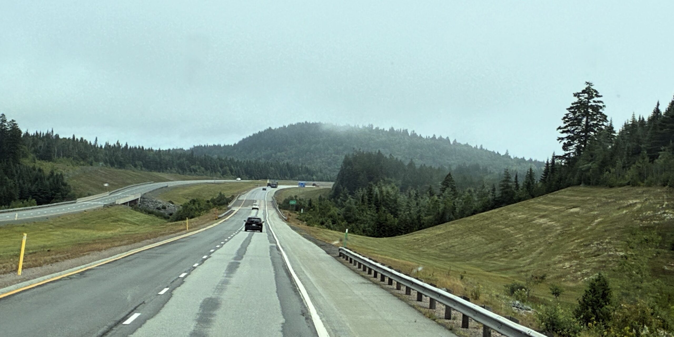
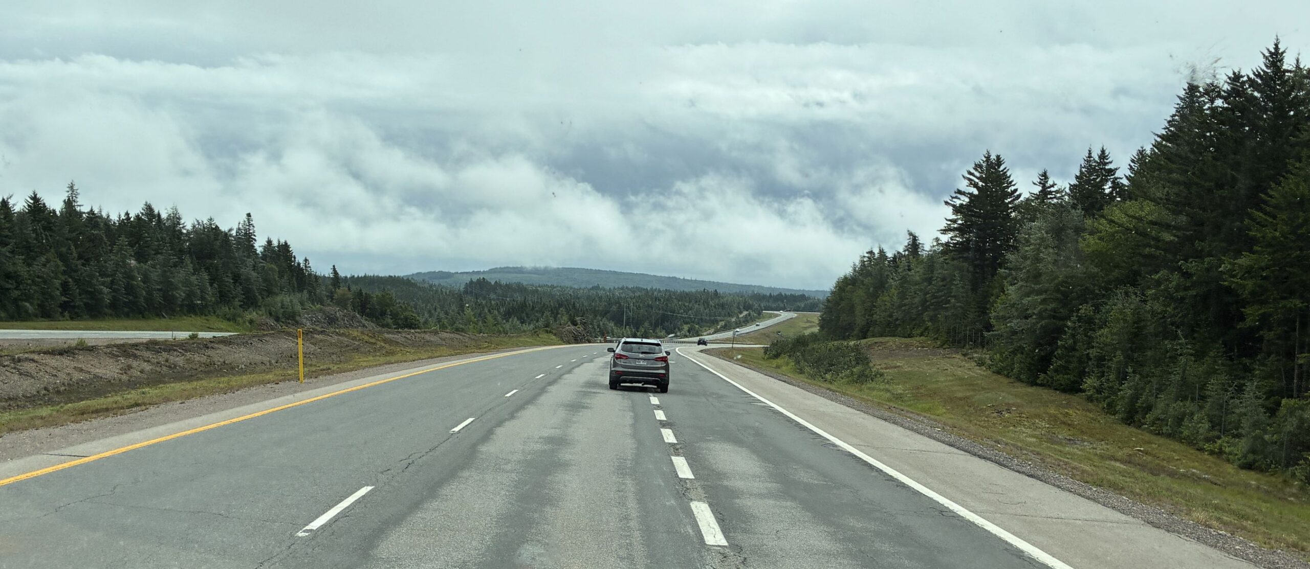
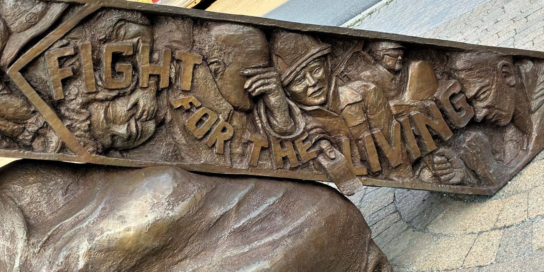
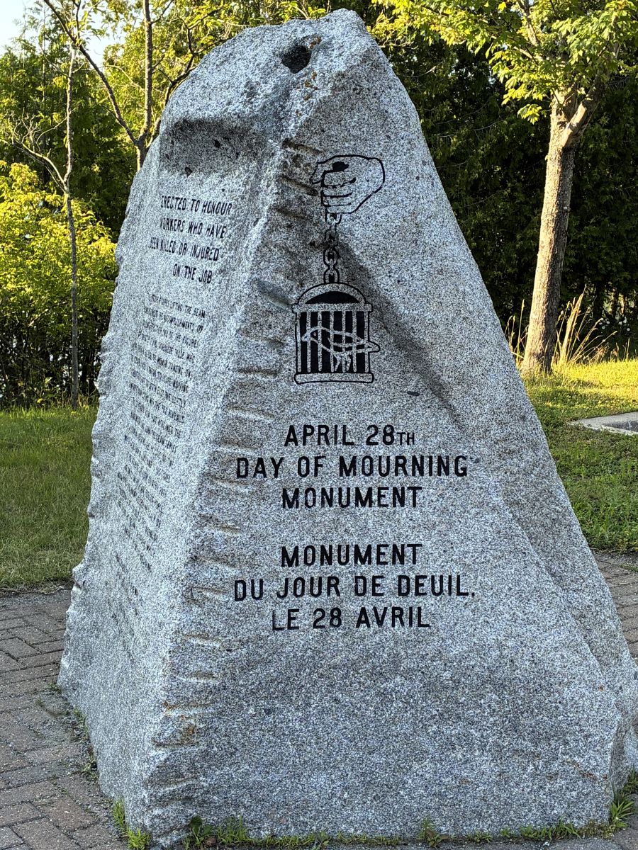
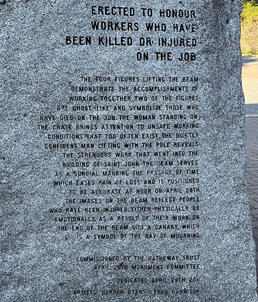
We arrived at Rockwood Park in Saint John, New Brunswick at 1pm. After we ate lunch and got set up, we went for a short bike ride around the park. We stopped to look at the monument at the front of the park.
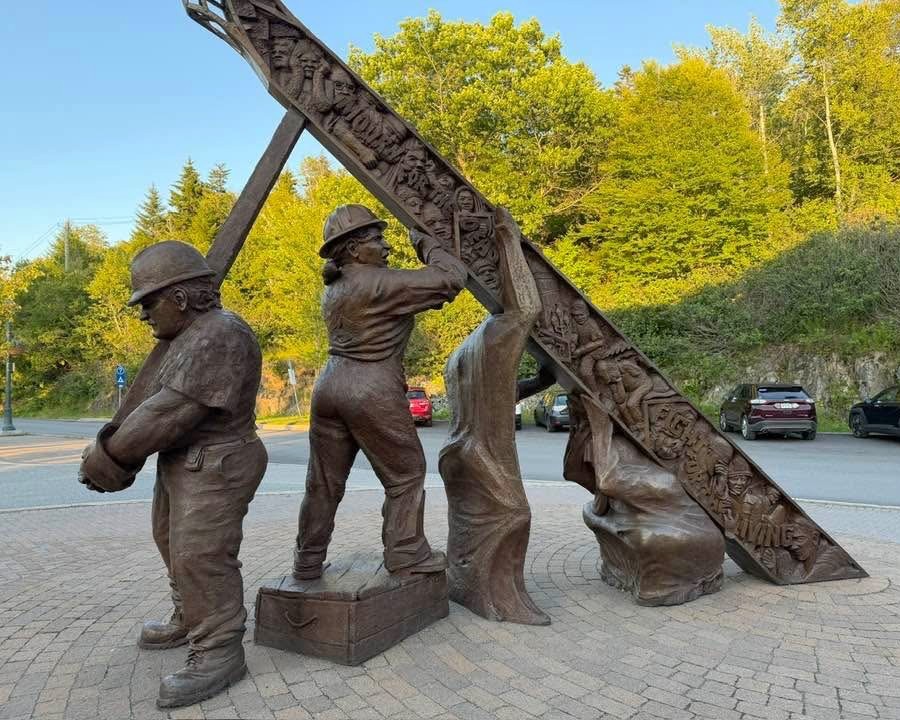
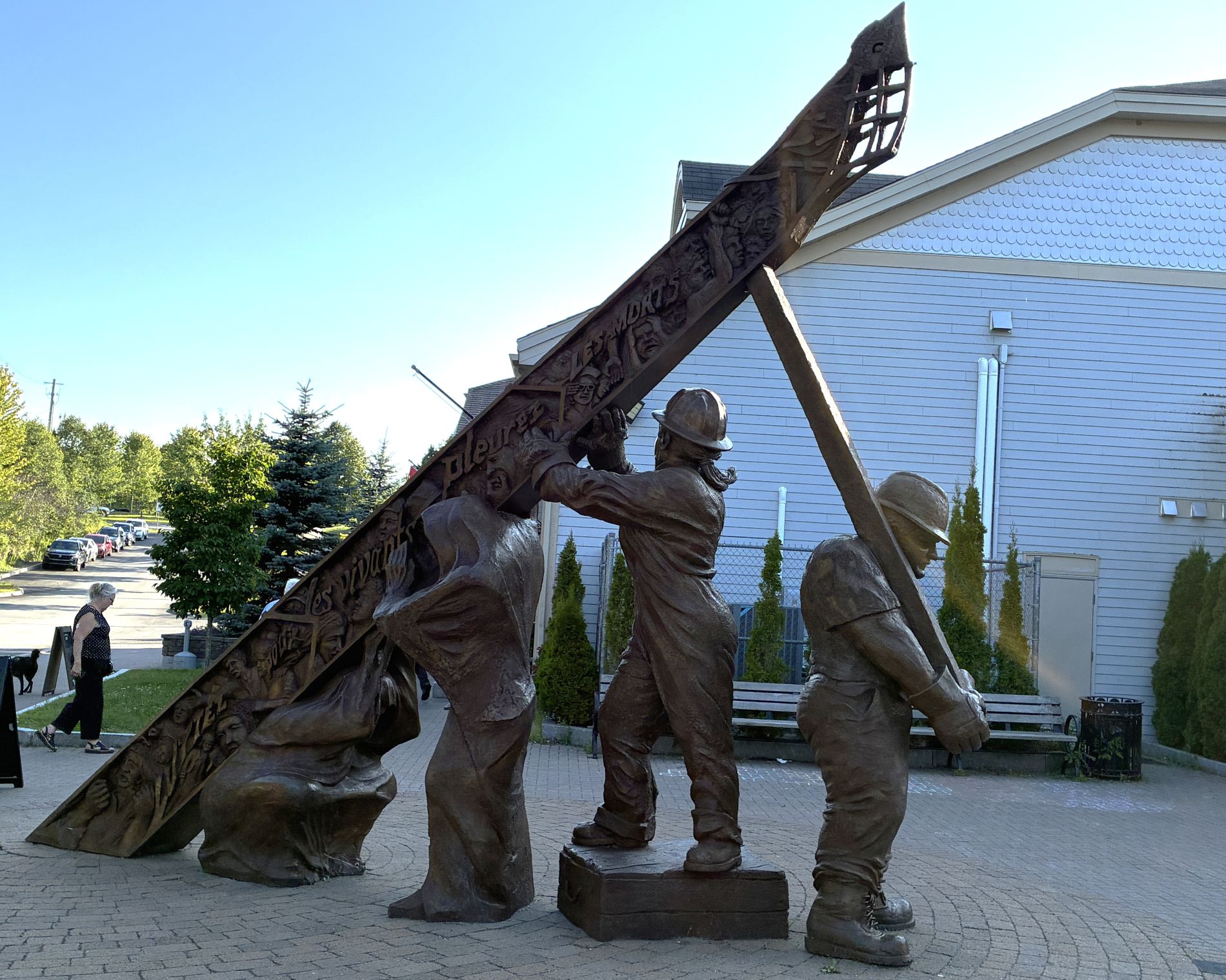
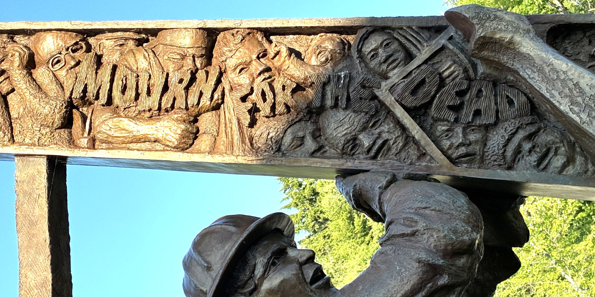
April 28 is Canada’s National Day of Mourning, observed annually to remember workers who have died, been injured or suffered illness due to workplace hazards.
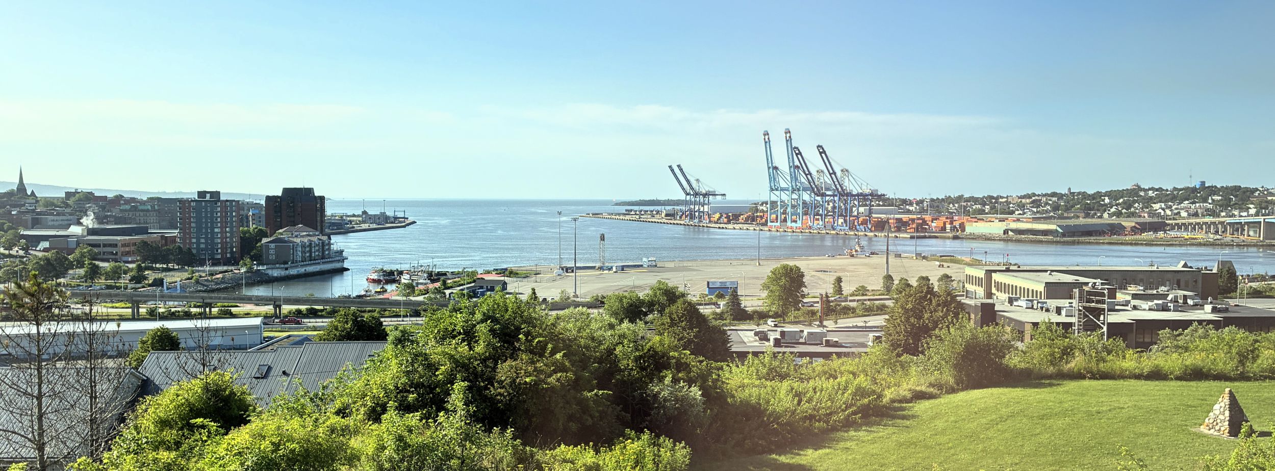
On July 24 we had another bus tour. We could see the busy port of Saint John as we were in transit.
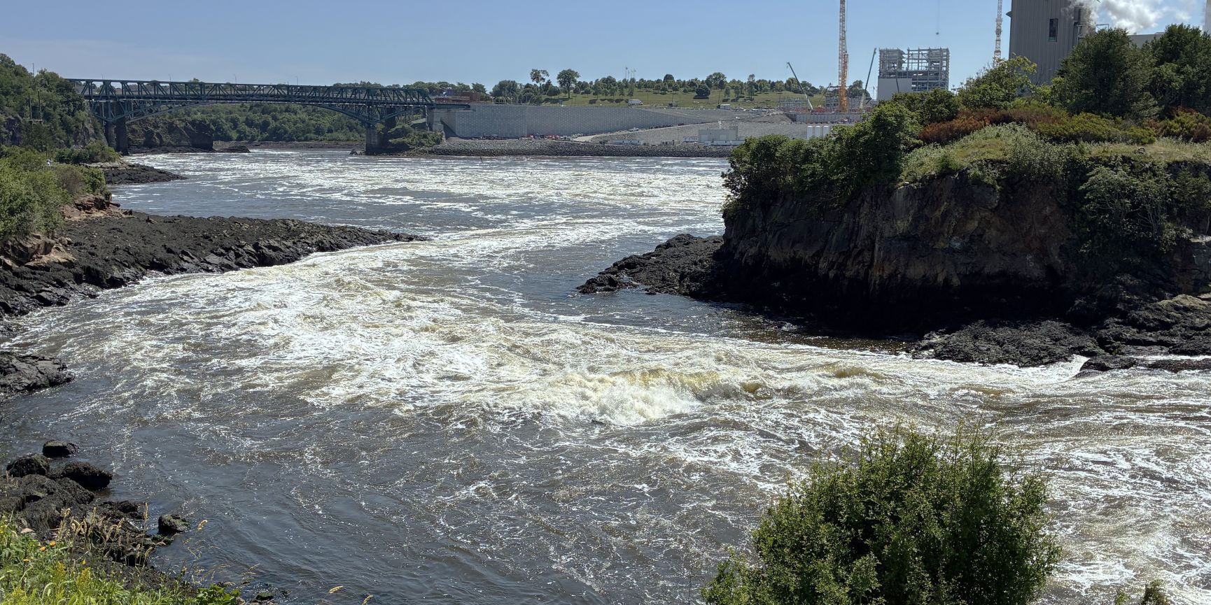
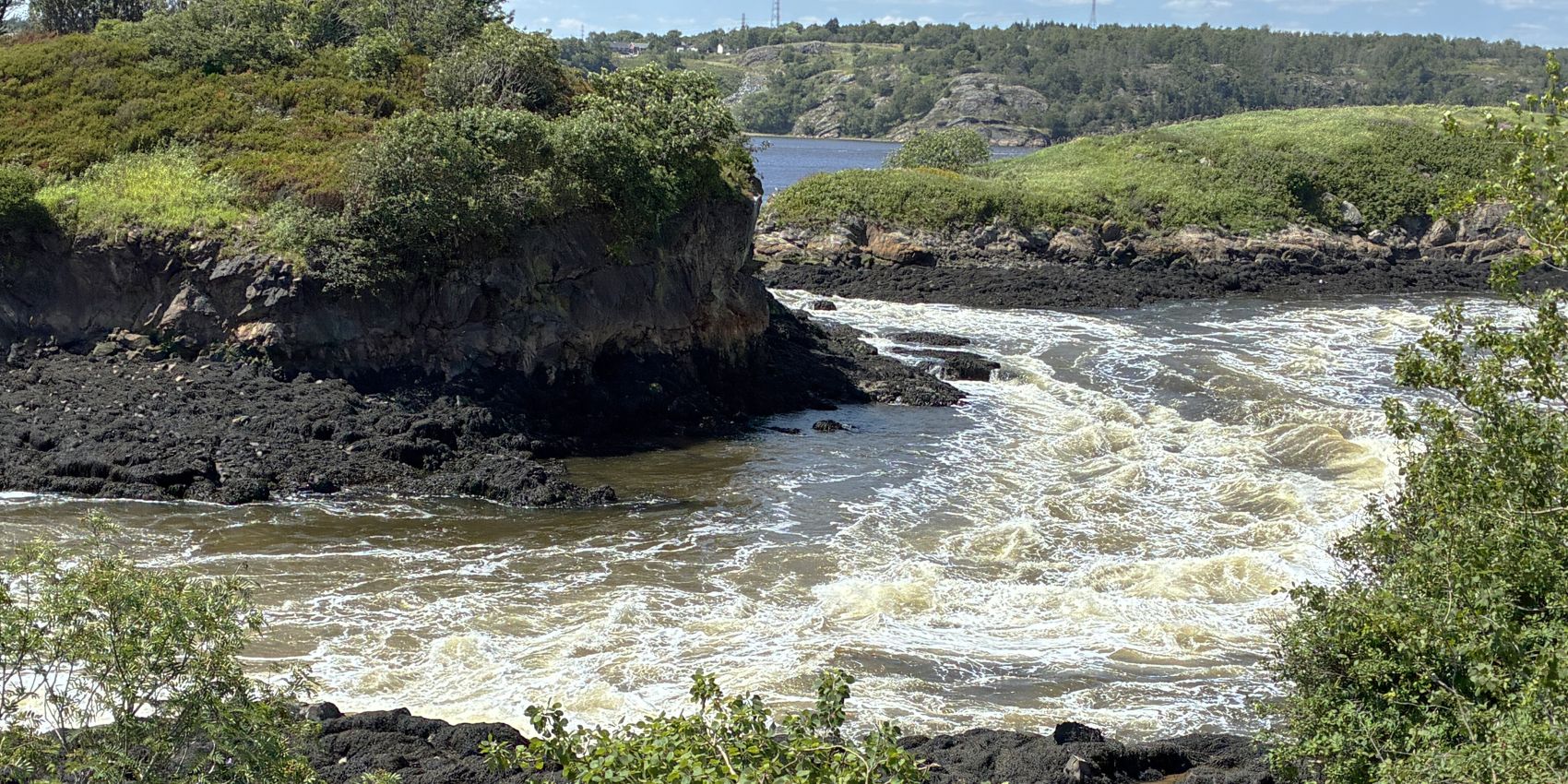
Our first stop was at the site of the “Reversing Falls”. We had been here before when Saint John was a port of call on a cruise. Twice a day, the Bay of Fundy’s enormous tides overpower the Saint John River and force it to reverse direction. Six hours later, the river wins again and flows back toward the ocean. The water flow was fairly calm as the tide was flowing in, just after 9am.
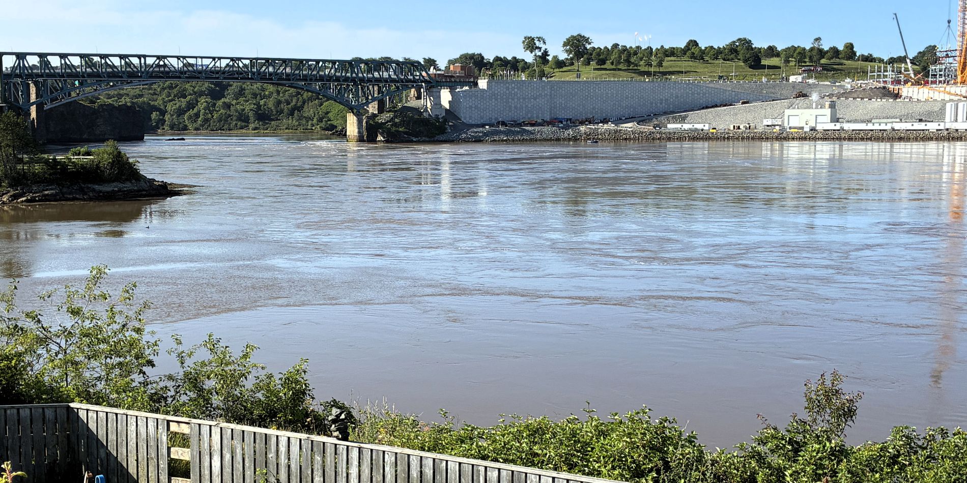
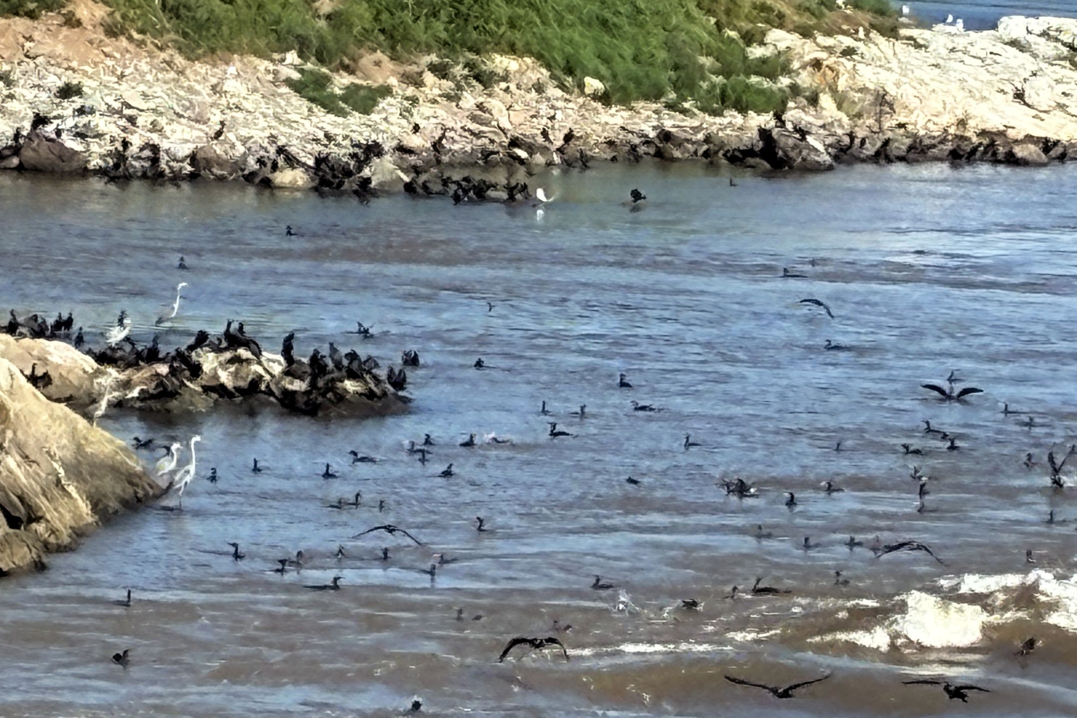
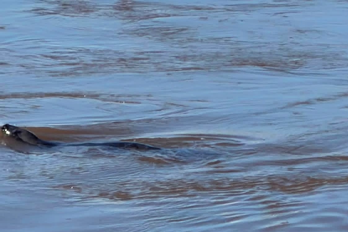
Lots of birds were busy fishing as well as some harbor seals!
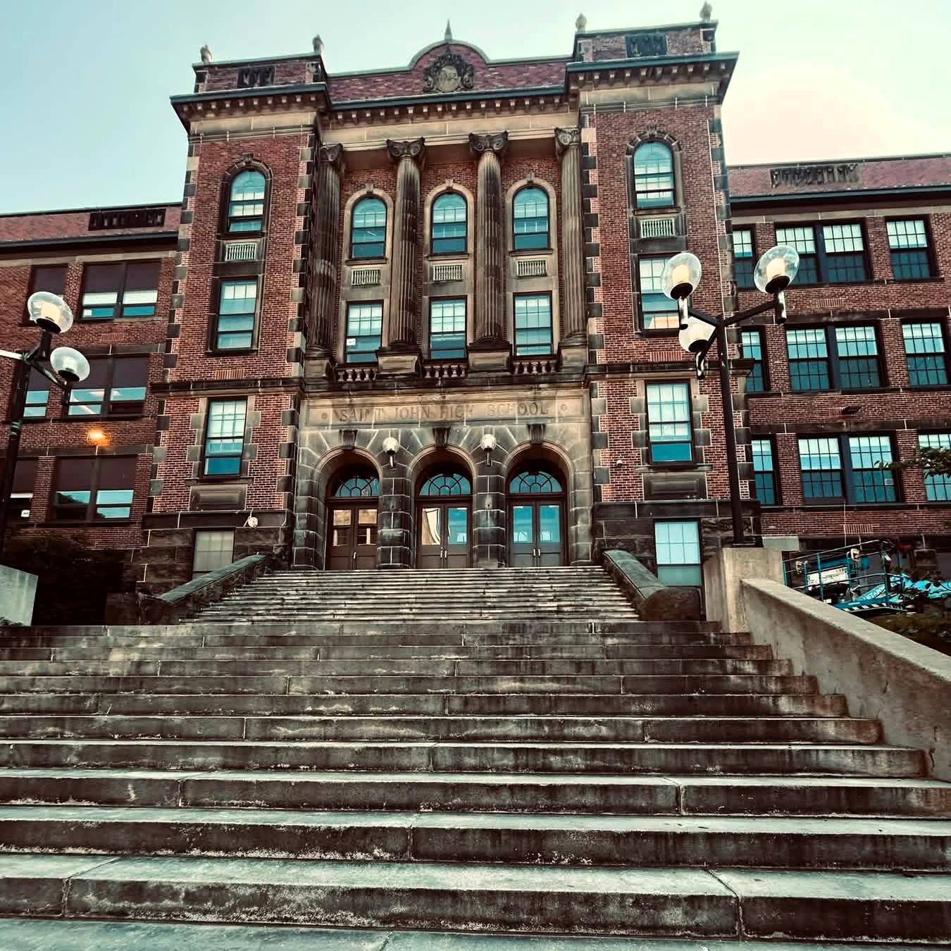
We boarded the bus again to visit the historic downtown area. Saint John High School, founded in 1805, is the oldest publicly funded high school in Canada. This building was built in 1931 and has been expanded at least twice since then.
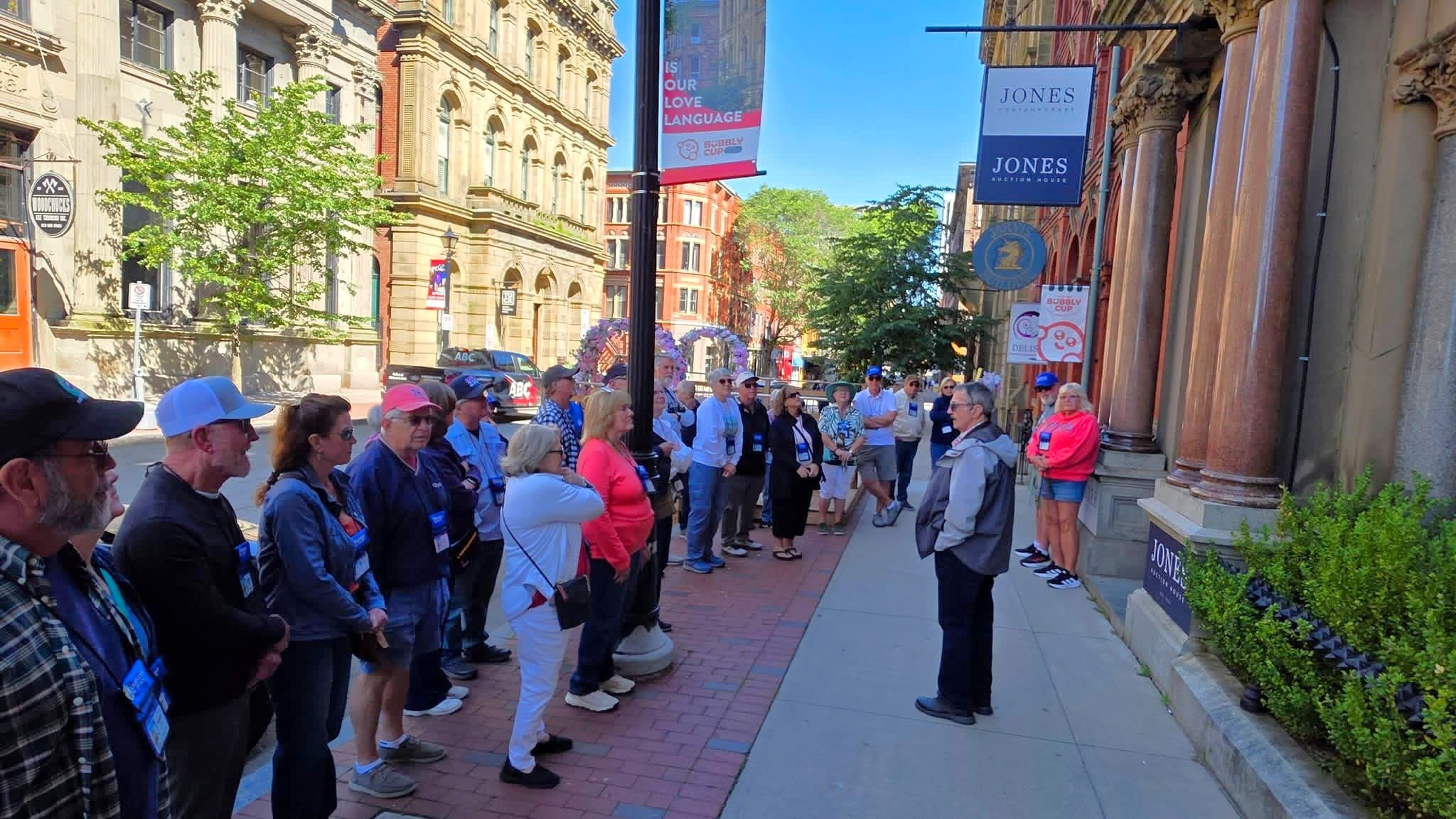
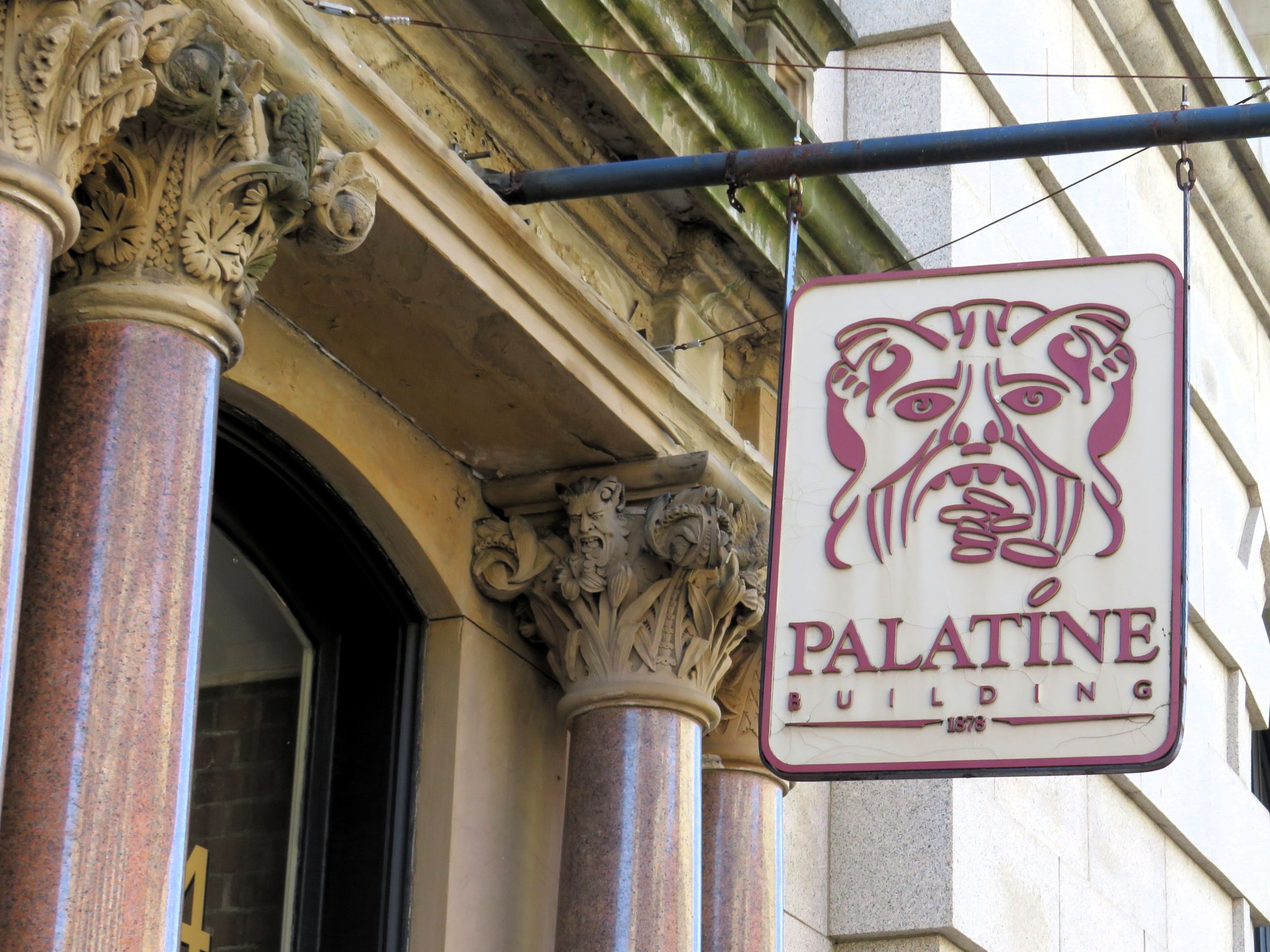
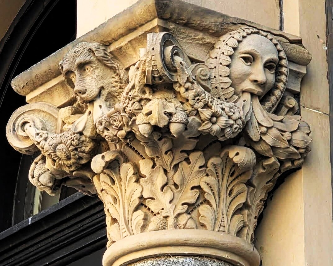
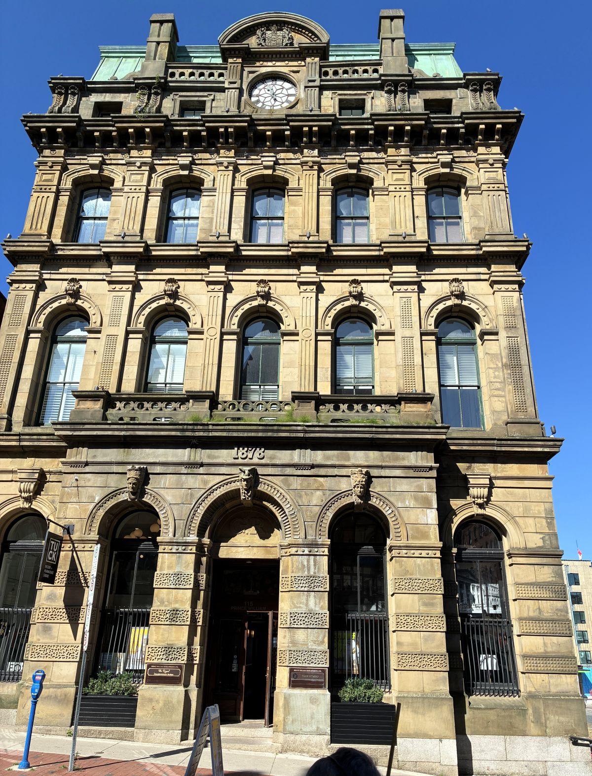
The Palatine Building, built in 1878, after two thirds of the City of Saint John was destroyed by fire in 1877. The Palatine Insurance Company was a fire and automobile insurance company that remained in this building for many years.
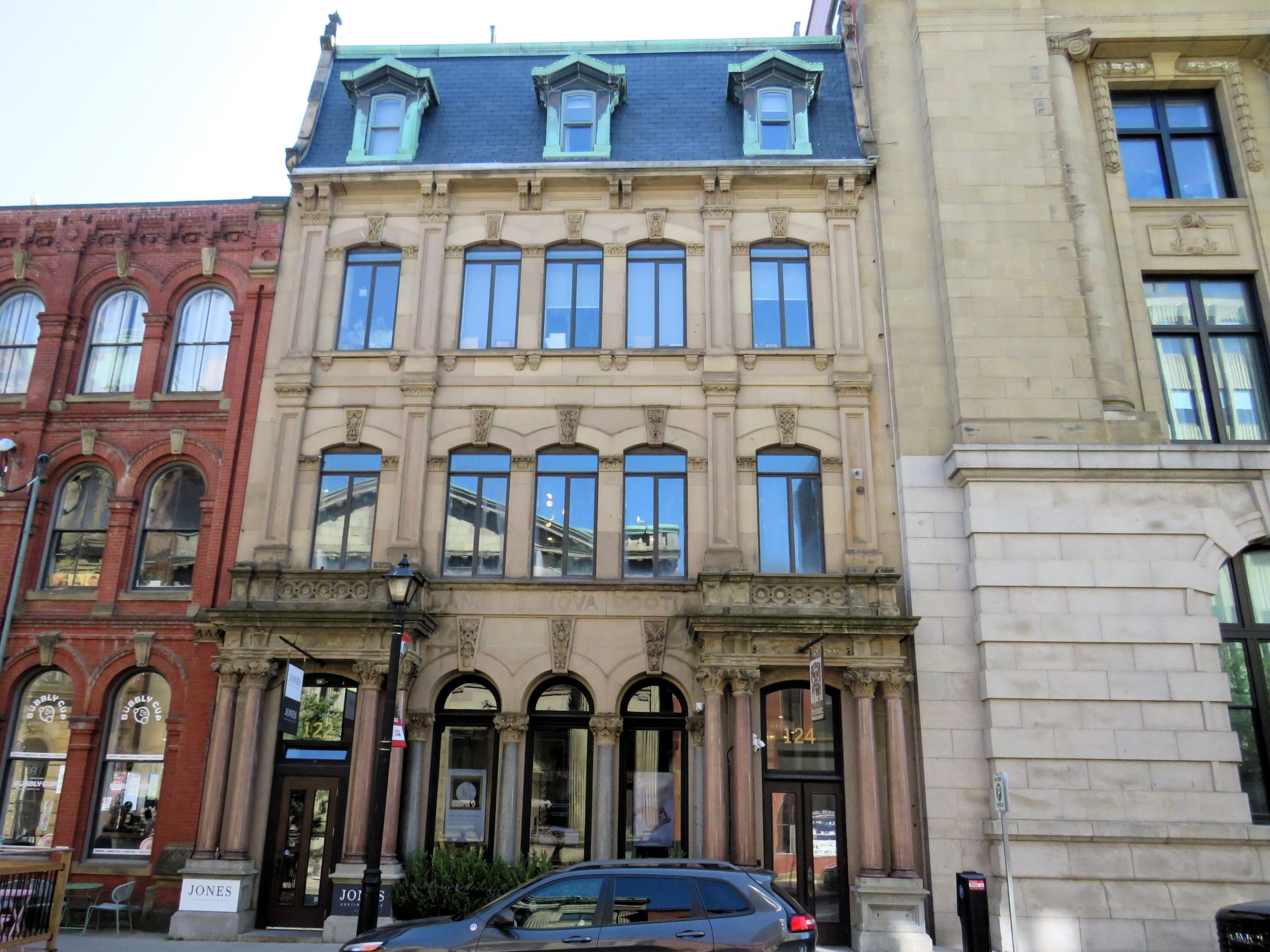
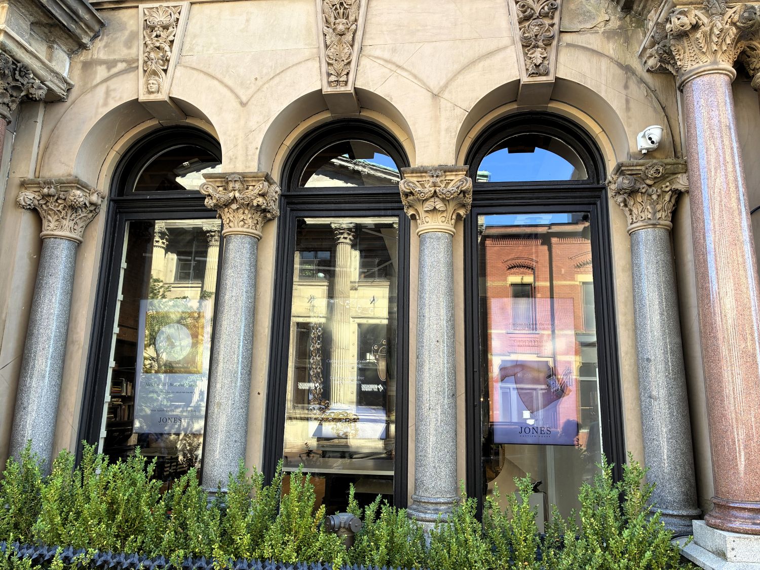
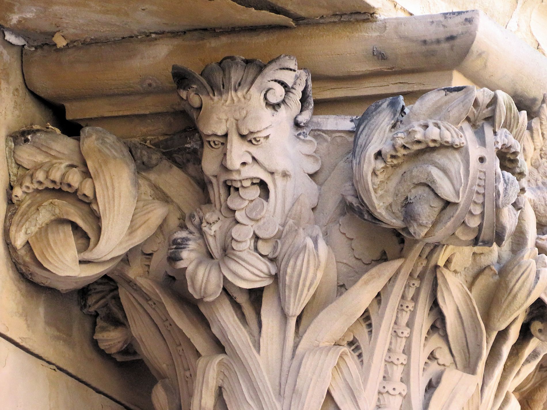
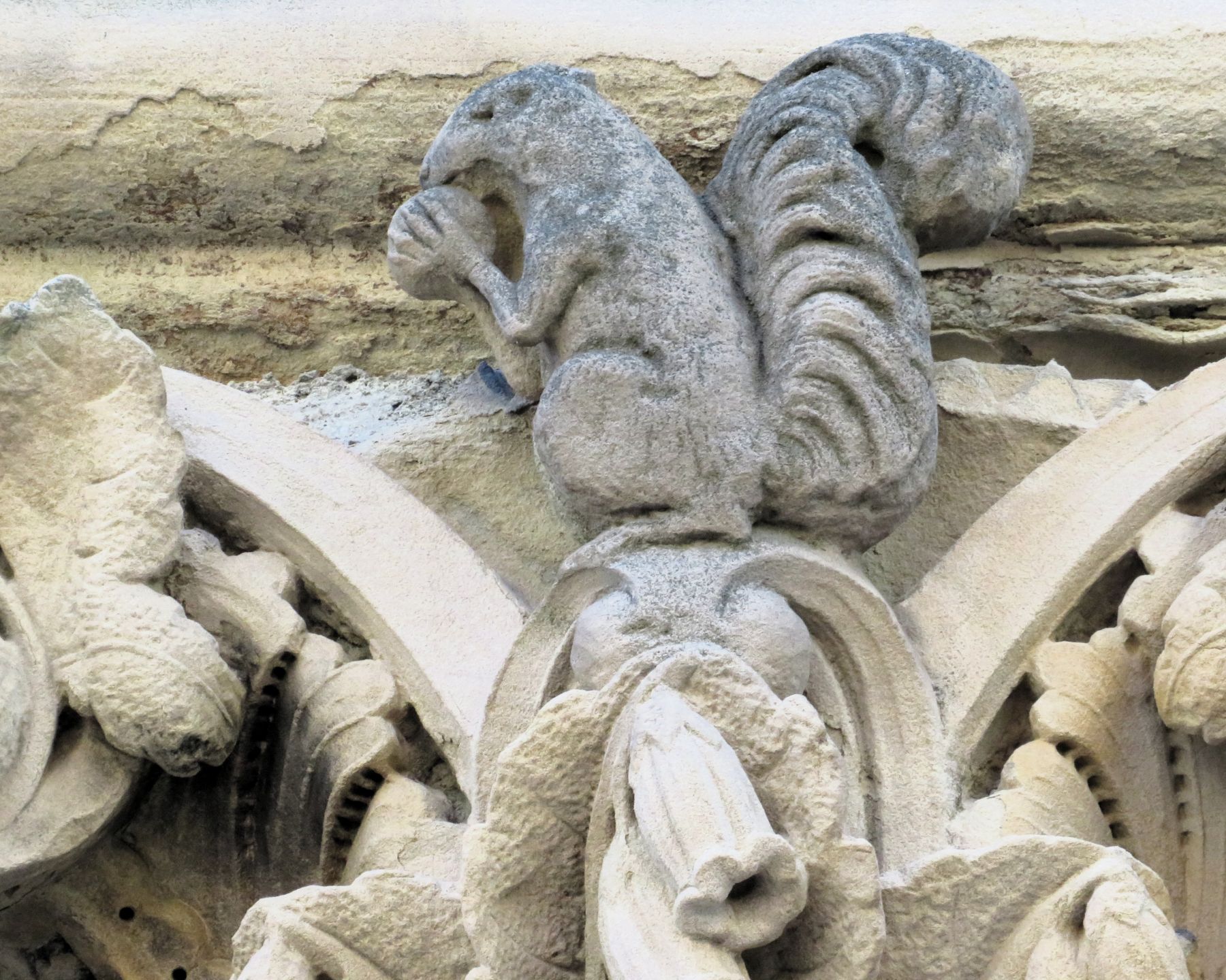
In addition to the beautiful façade and polished marble columns, it had several interesting gargoyles. The one spitting out coins was associated with the building’s original function as a bank!
The Bank of New Brunswick was across the street.
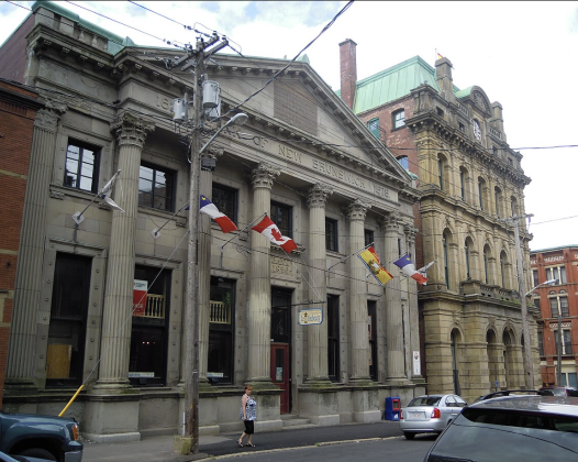
And next to it was the Old Post Office Building which served as the main post office in Saint John from 1881 to 1915. It was built on the foundation of the previous post office that was destroyed in the 1877 fire.
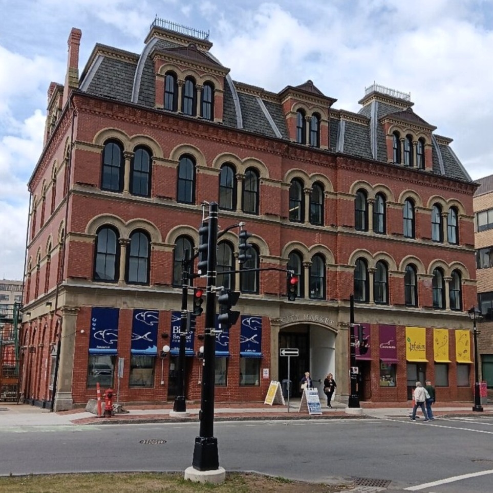
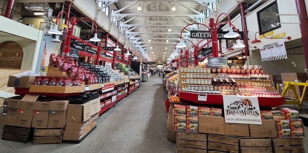
We explored the City Market; full of vendors selling fresh meats and vegetables, handmade crafts, baked goods, fish and chips and so much more! We bought a couple goodies at the bakery.
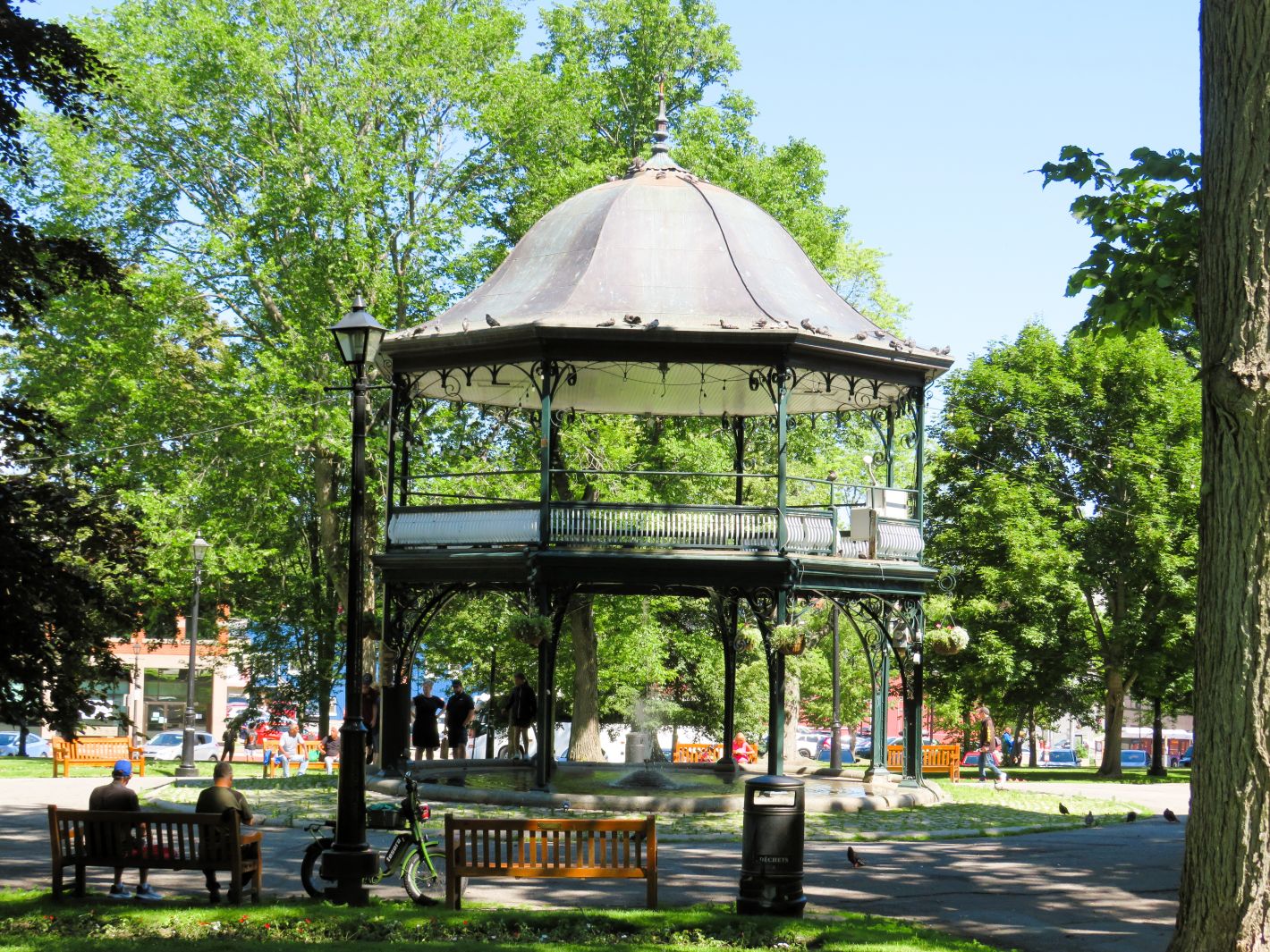
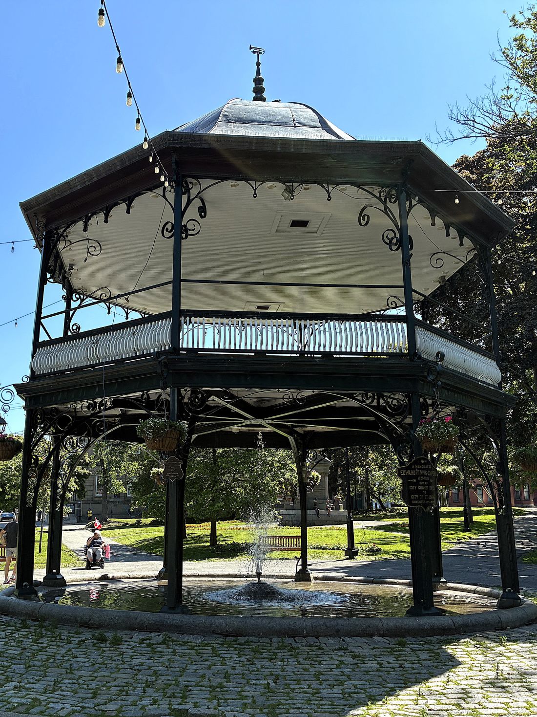
Going back outside, we walked over to King’s Square.
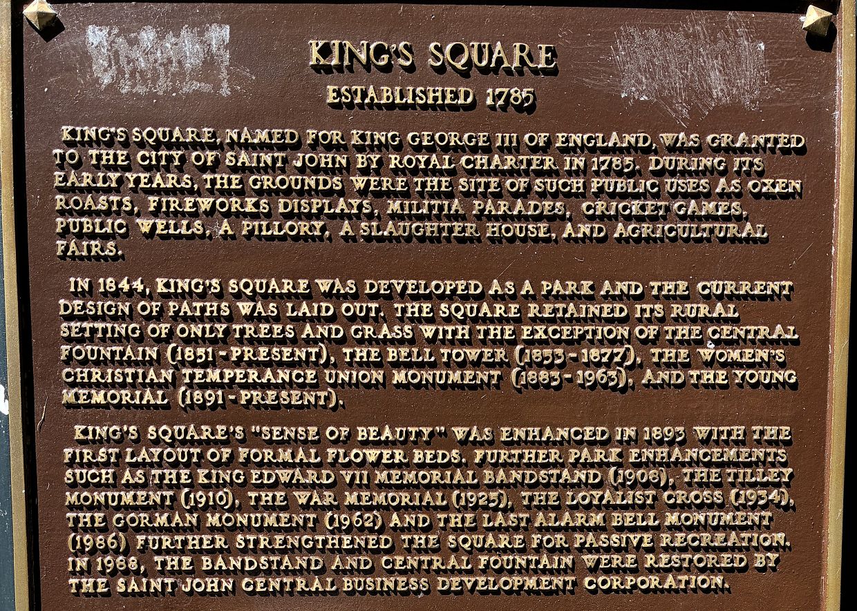
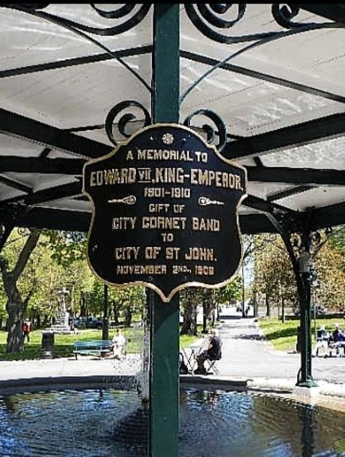
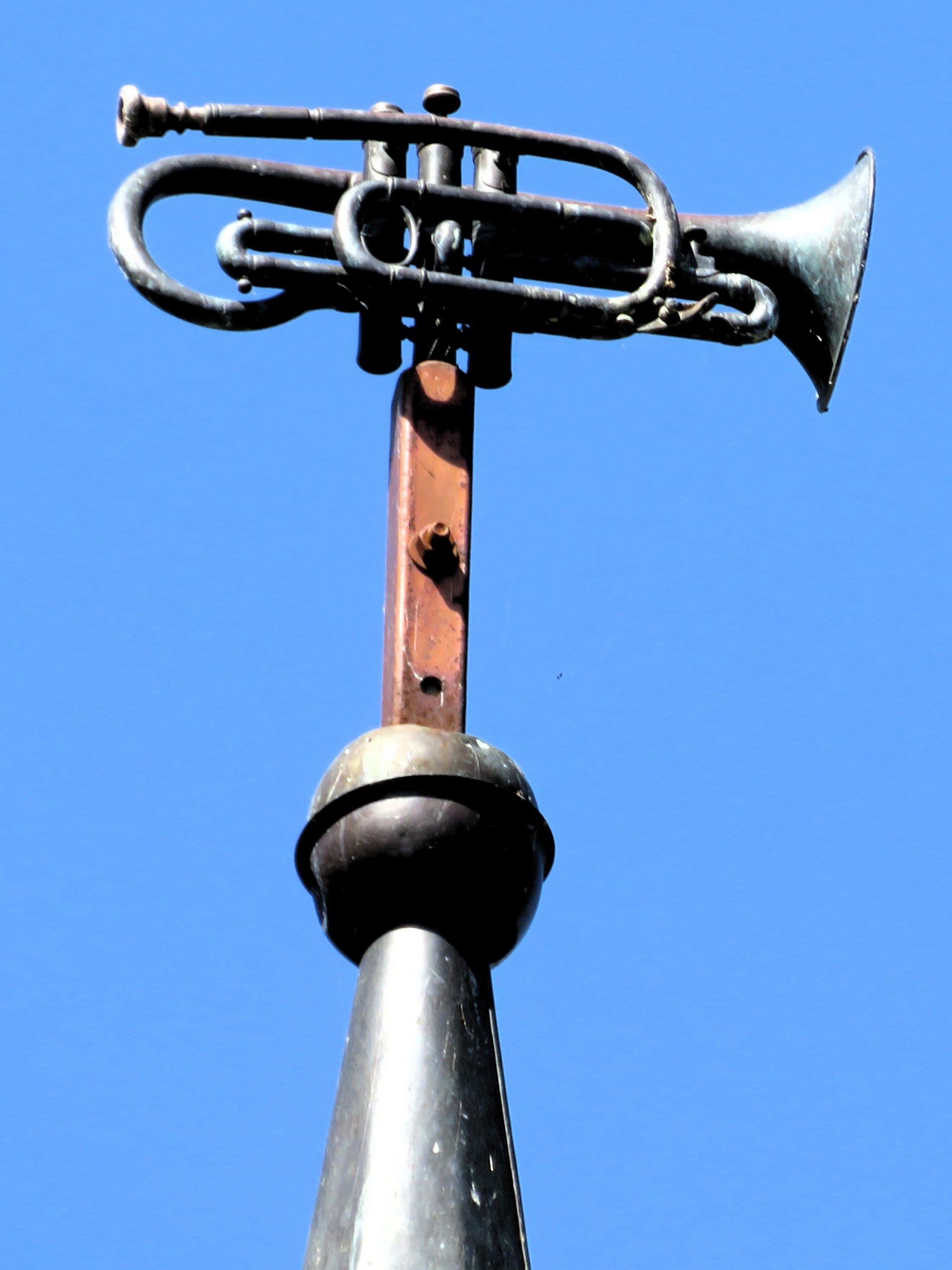
The bandstand was in the center of the park, with a fountain below – a gift to the city by the City Coronet Band.
Two of the many statues in the square; a war memorial
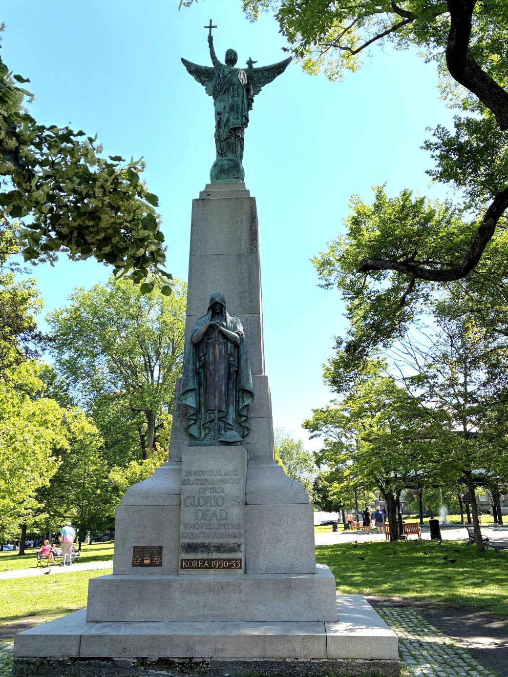
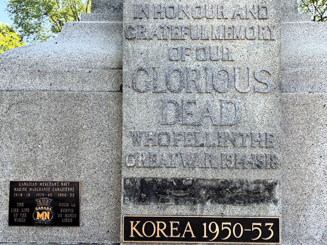
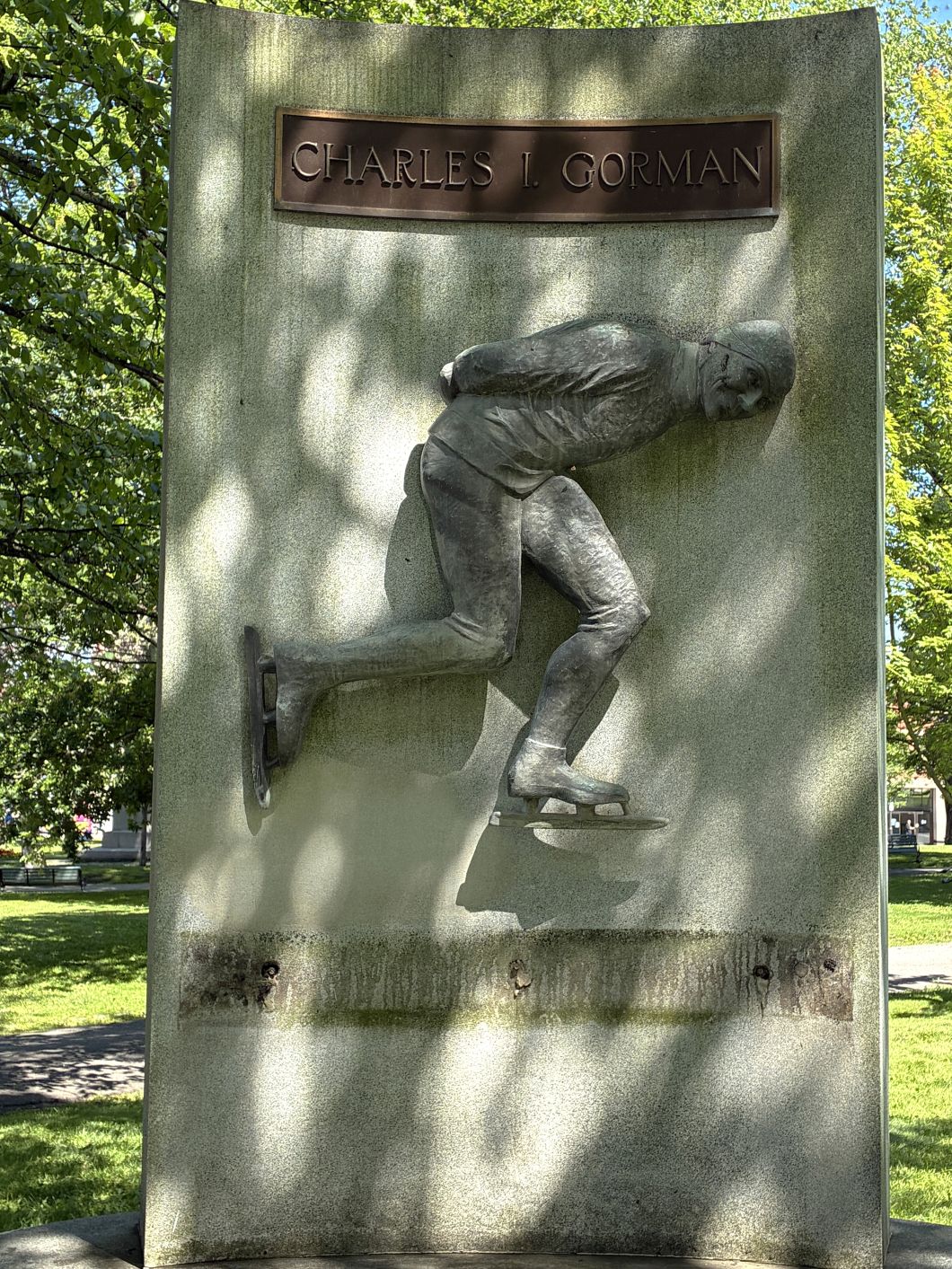
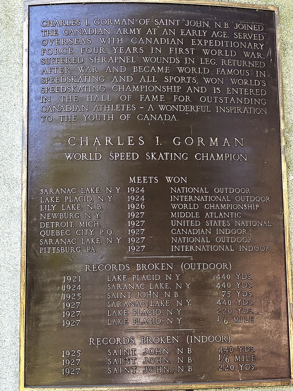
and a monument to Charles Gorman (1897-1940) of Saint John; he was a World Champion Speed Skater.
After the tour, we drove back to see the tide going out. It was quite a different scene at 2:30! The water was churning with lots of rapids; and very few birds were in the water. That was what we saw when we were here with a cruise a few years ago; being able to see the dramatic difference was impressive!
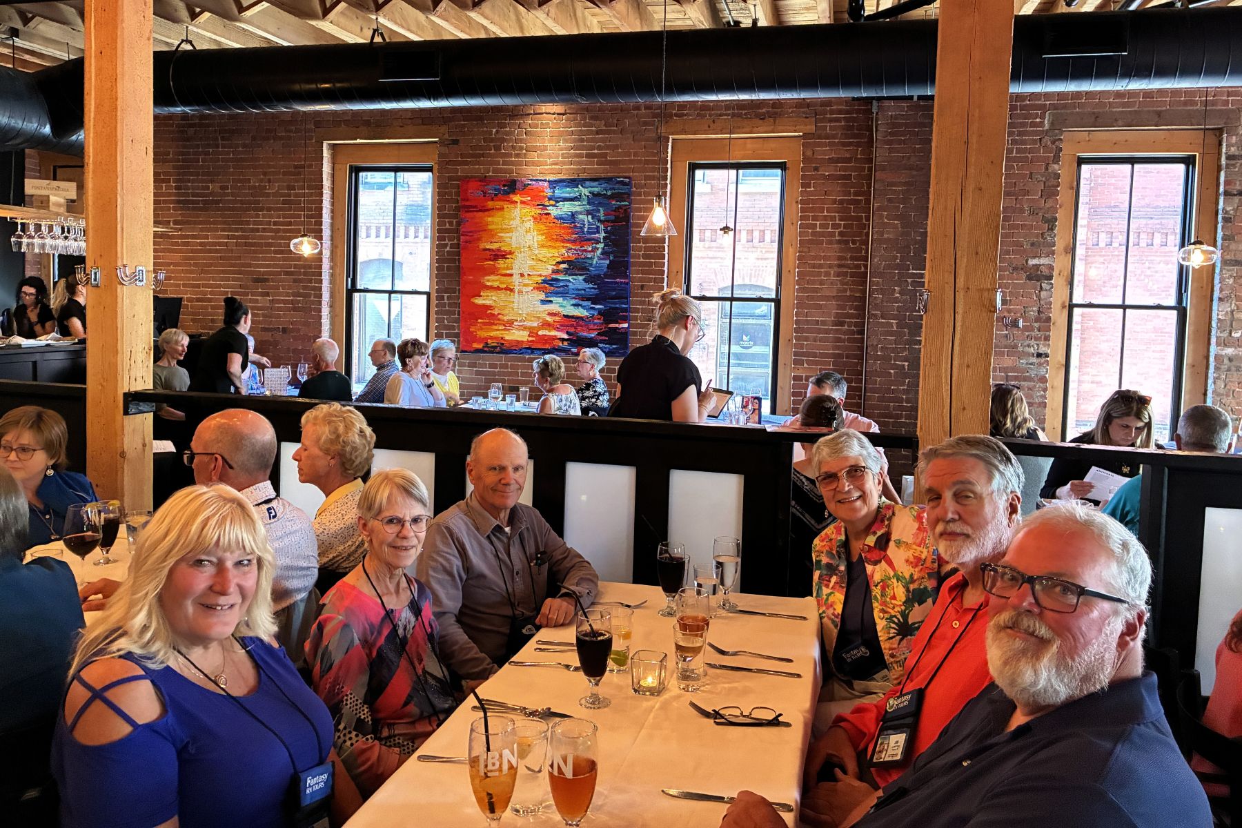
Our group met up for dinner at Italian By Night.
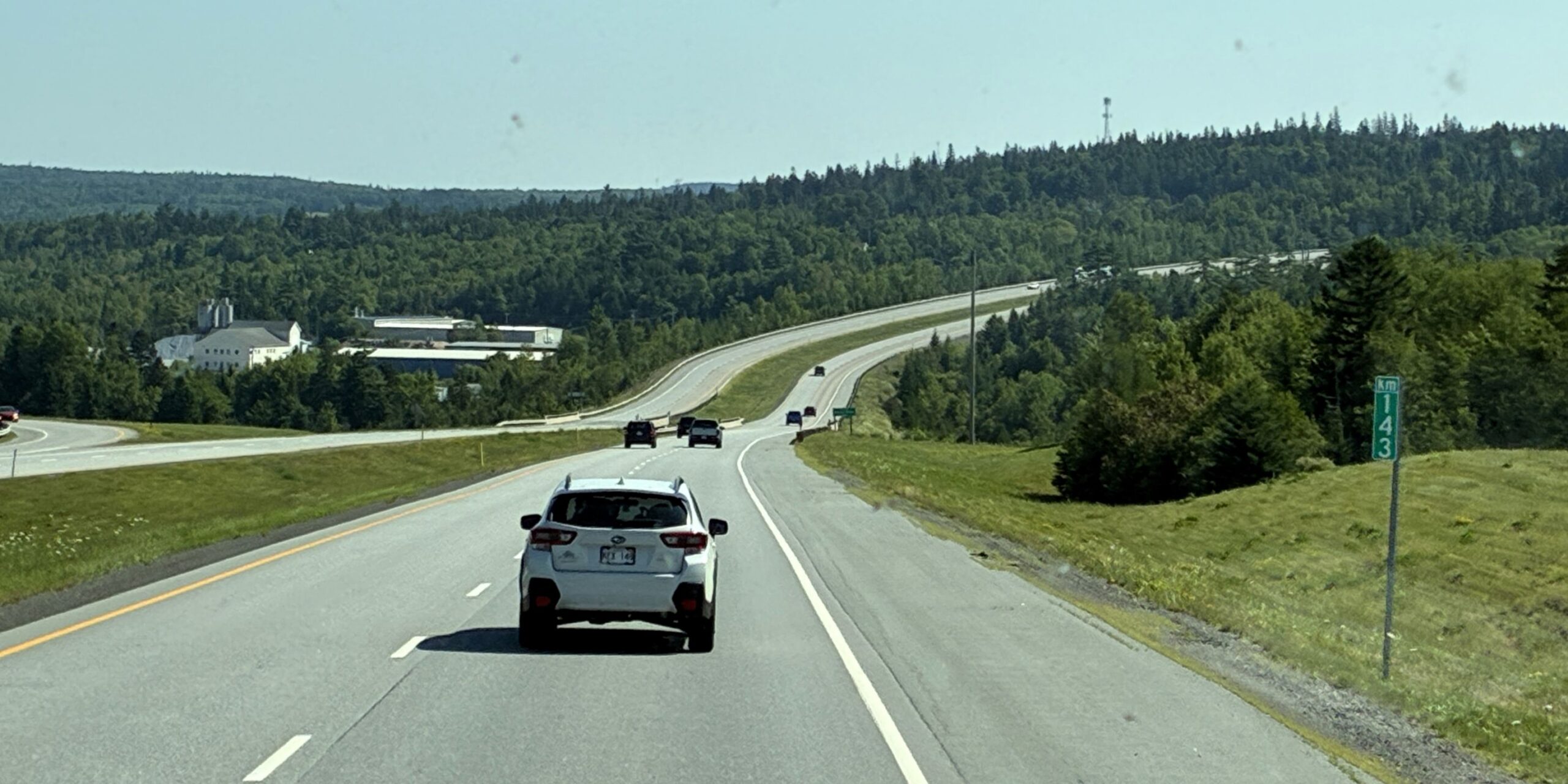
We left Saint John at 10:15 on July 25 with 112,805 miles on Acey and 145,124 on Thor. We had good weather for the drive and very light traffic on the Trans-Canada Highway.
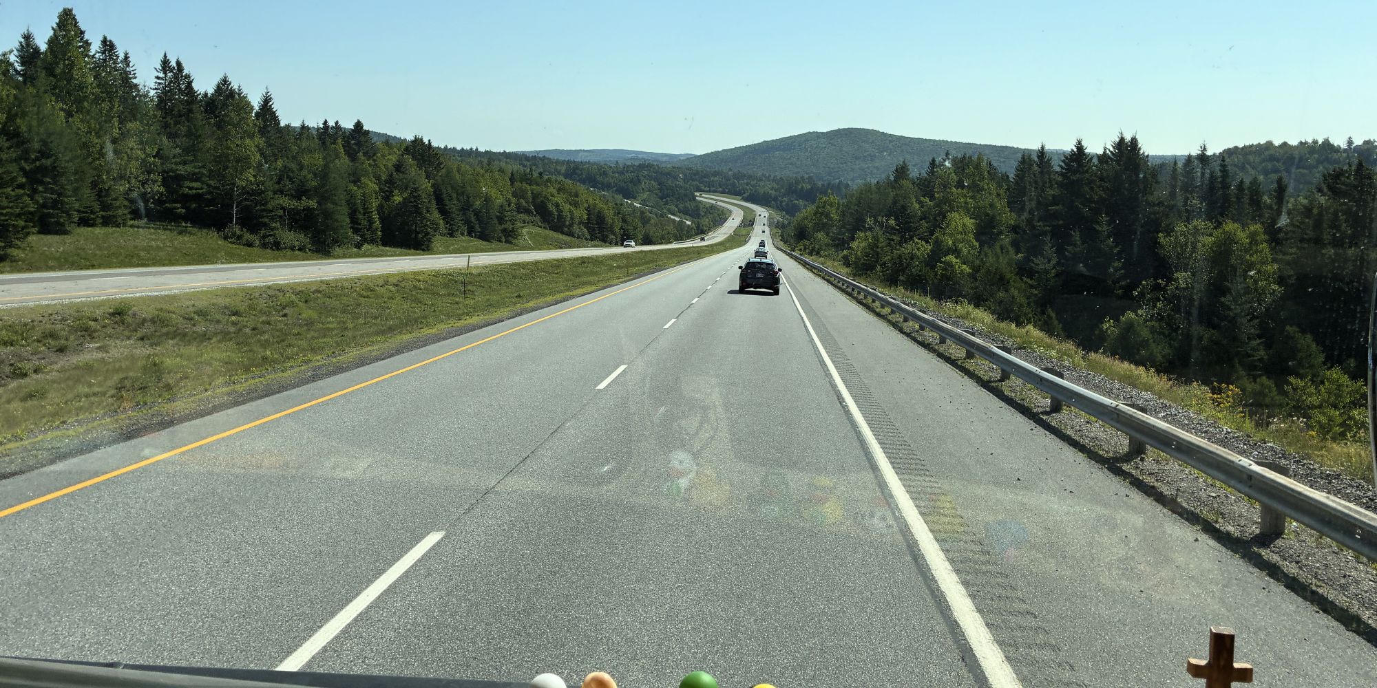
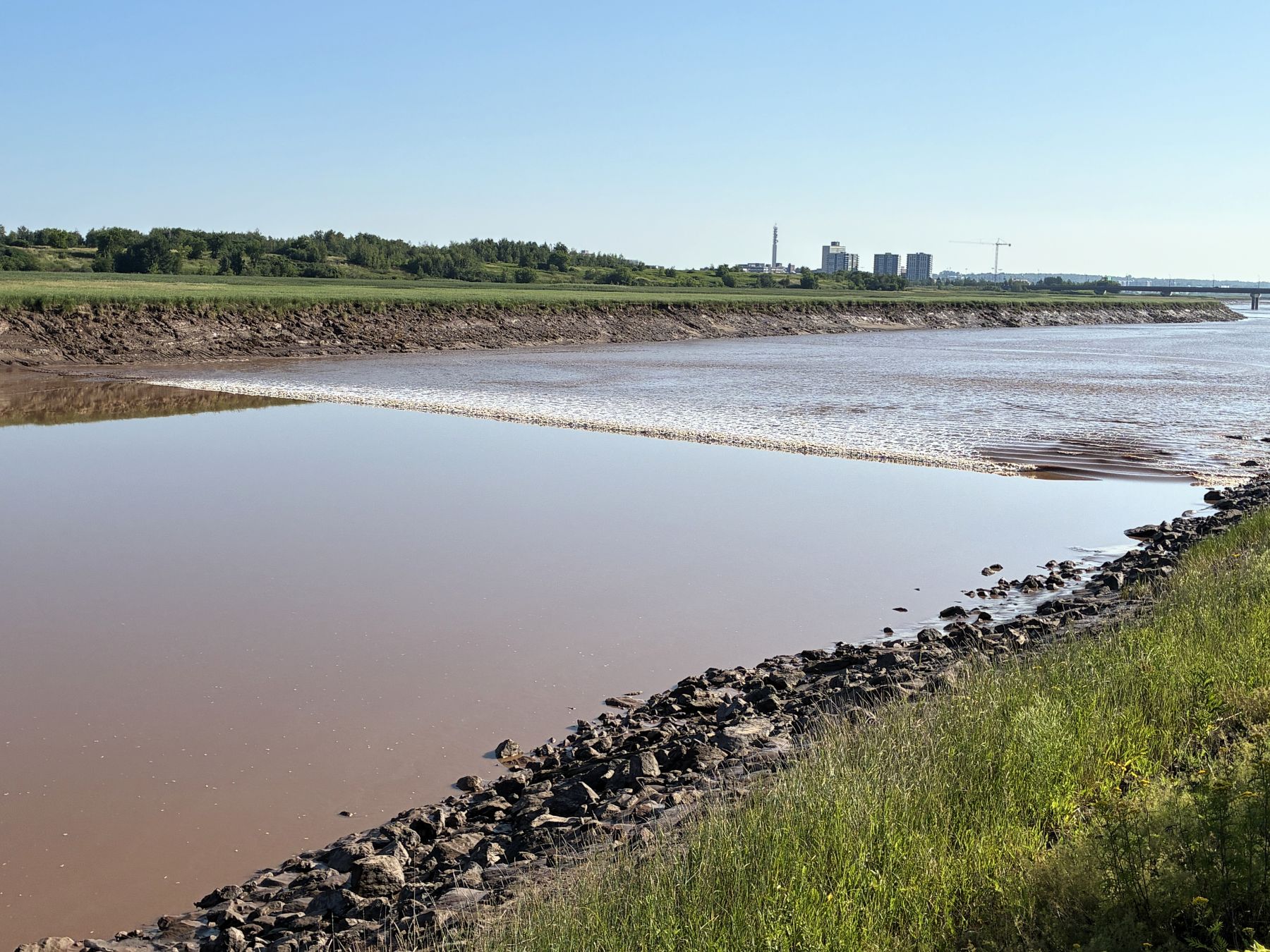
We arrived at Ponderosa Pines Campground in Hopewell Cape, New Brunswick at 1:00. In the morning the two of us drove to the Riverview Tidal Bore Viewing area near Moncton, NB, to watch the bore tide come in. The Bay of Fundy tides surge up the Petitcodiac River, creating a visible wave that can reach heights of up to 3 feet. We saw the tidal bore near Anchorage, Alaska at Turnagain Arm (which can reach up to 10 feet!) and wanted to see – and hear – the unusual phenomena again! Here’s the scene at 8:20, before the bore tide came in.
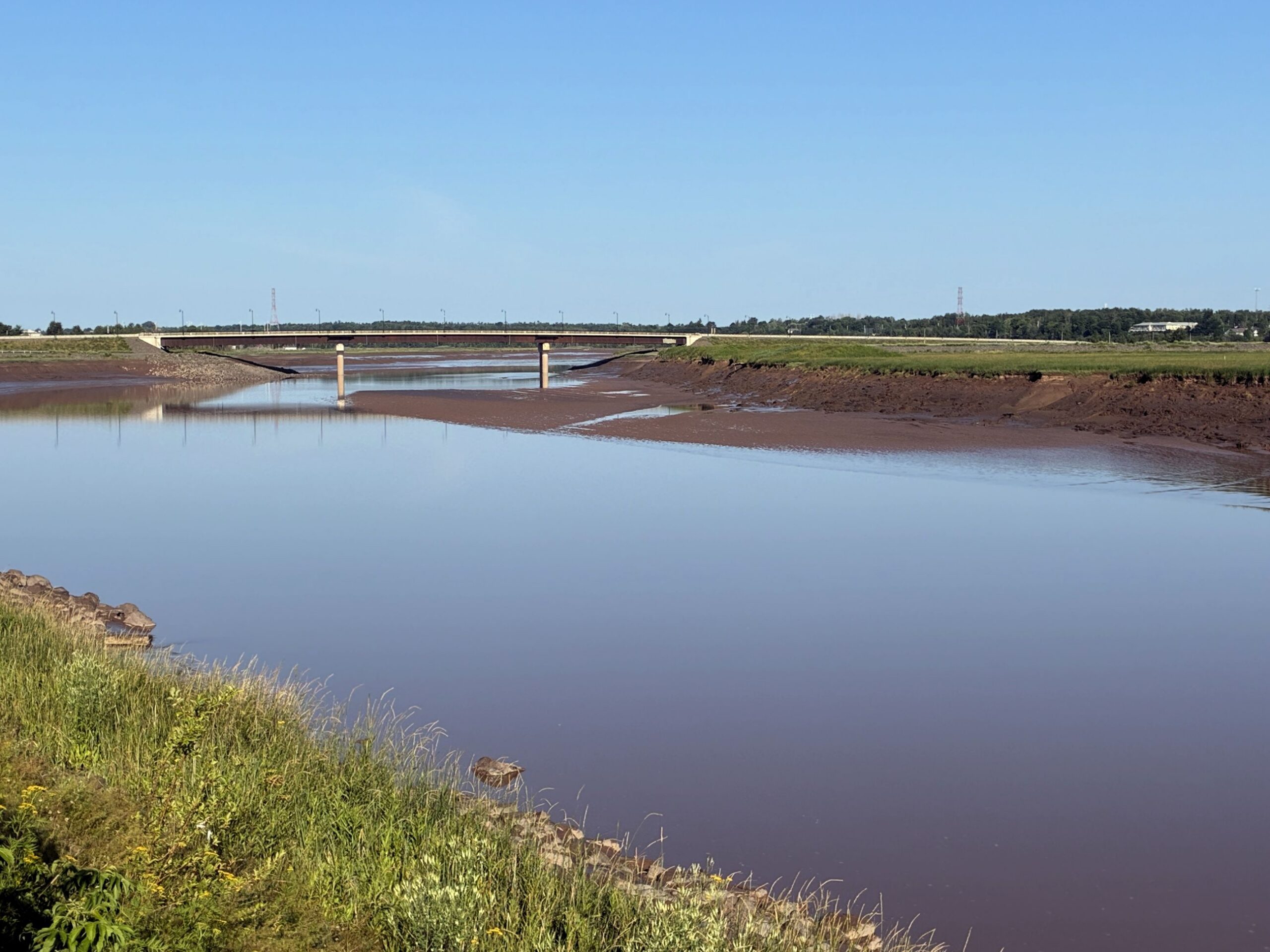
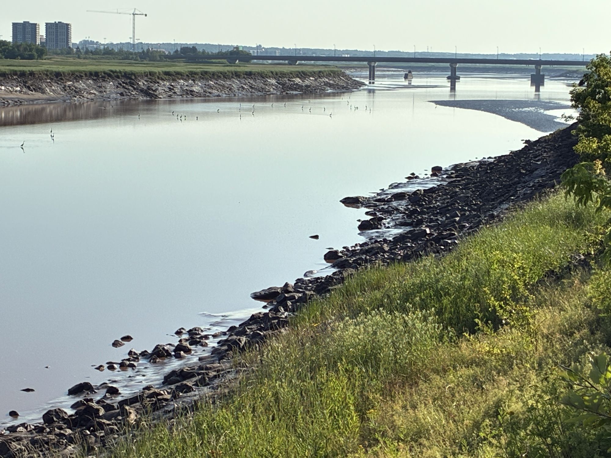
As the tide came in…
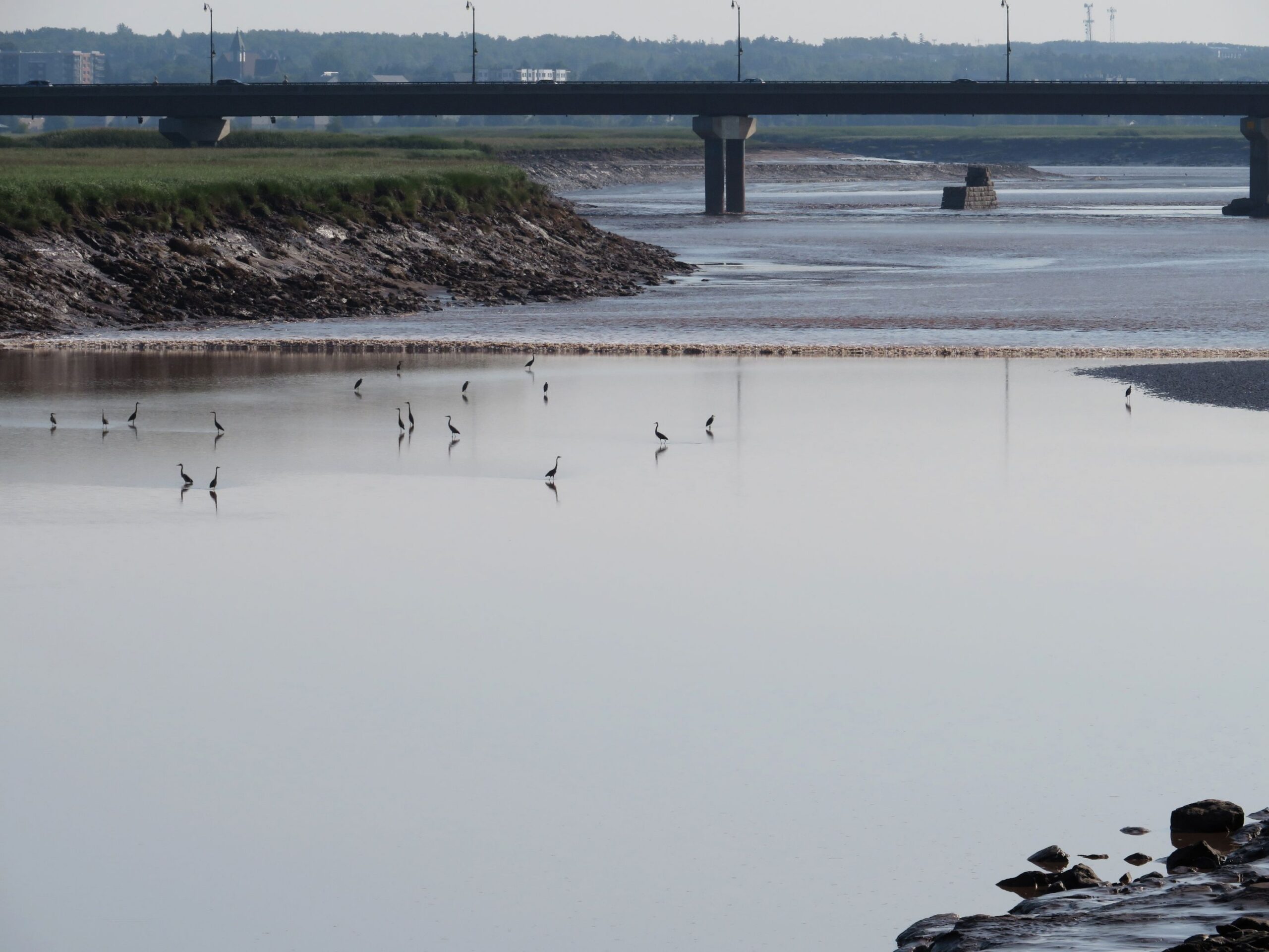
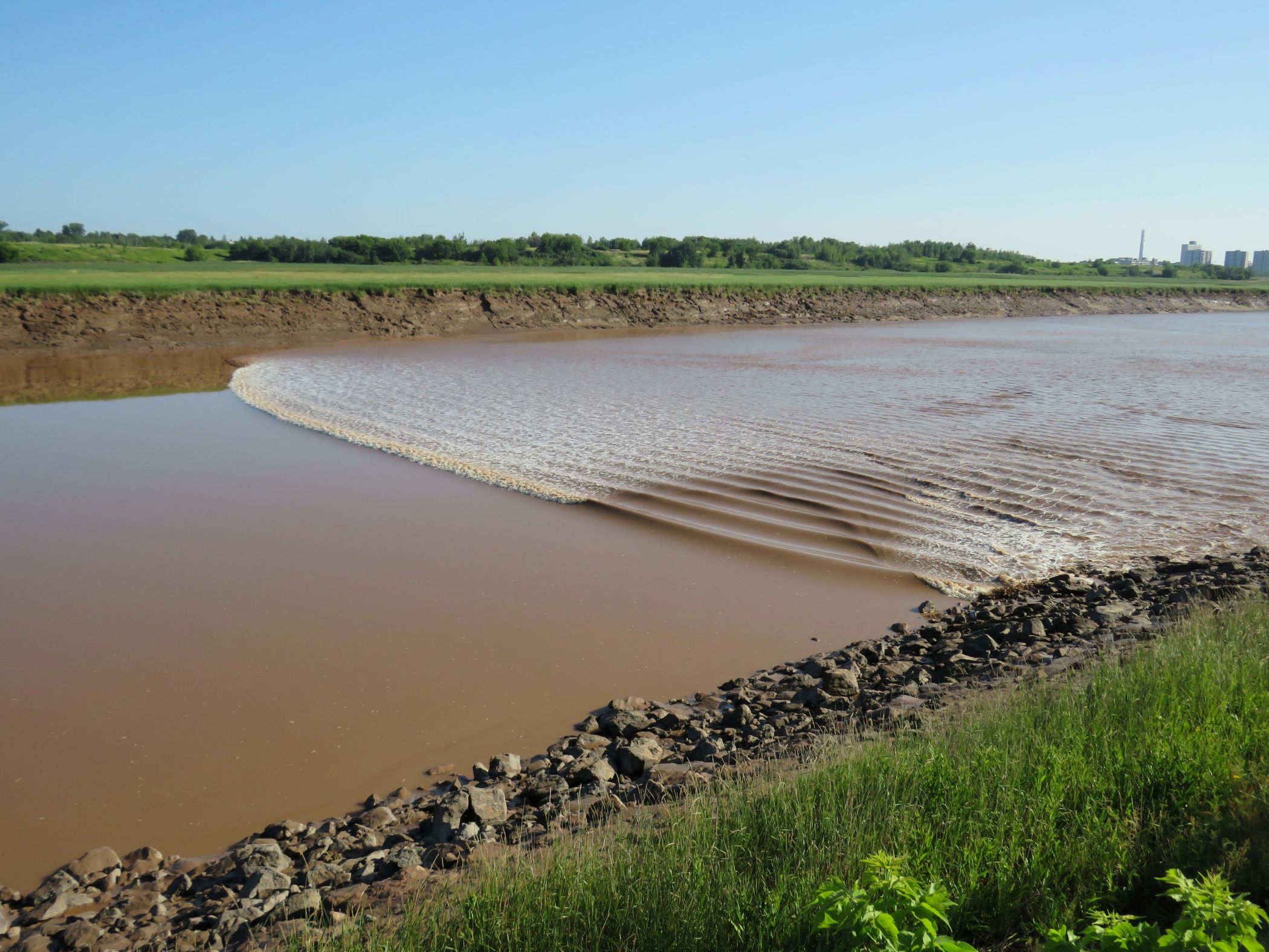
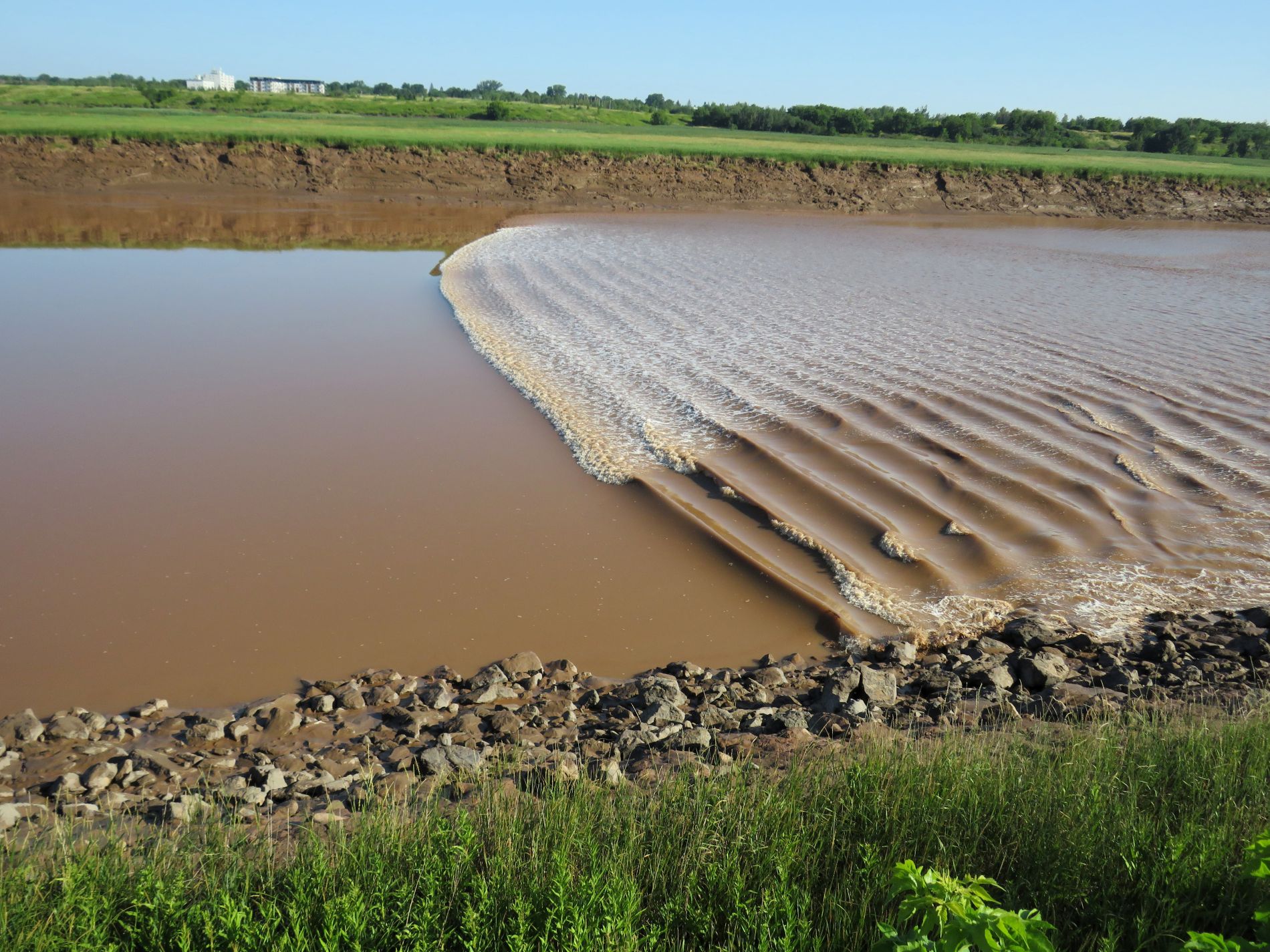
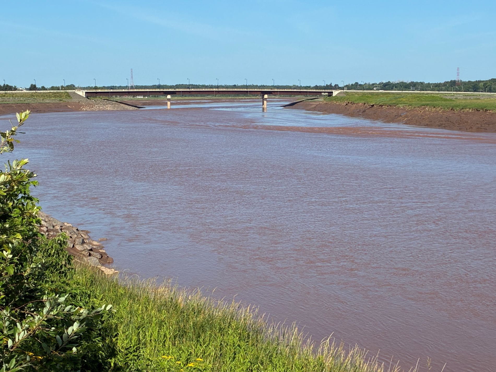
After the bore tide passed, the tide continued to flow in, this was the scene at 8:59.
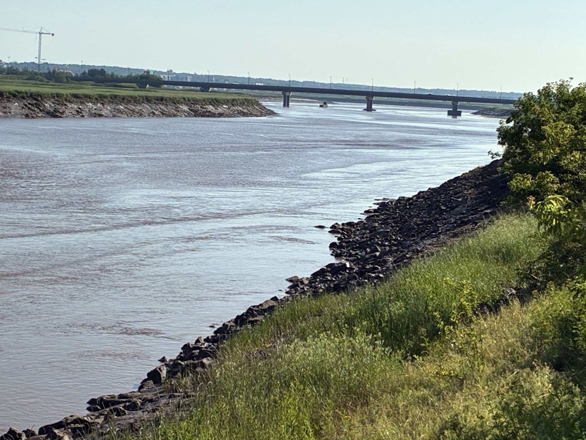
Watch and hear the bore tide flowing up the river here!
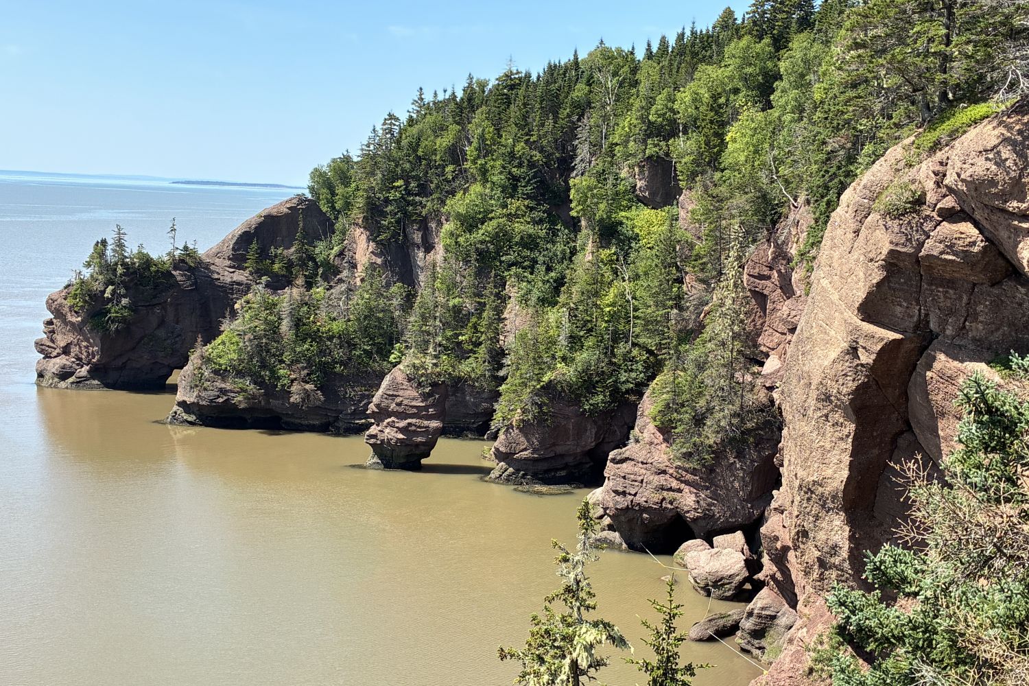
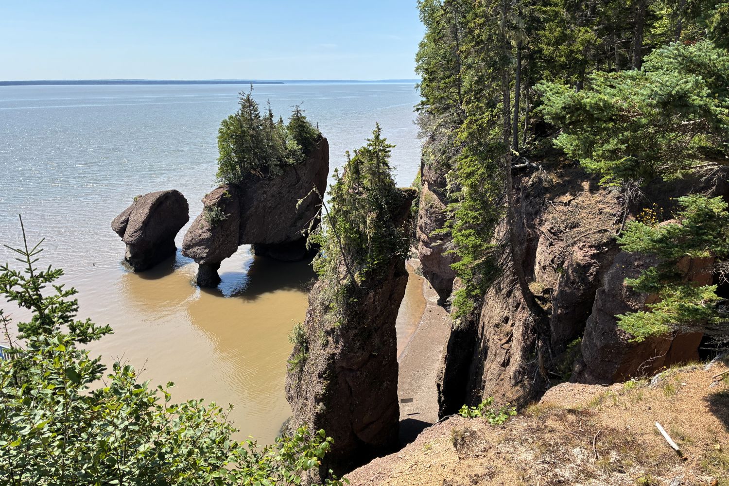
As we headed back toward the campground, we stopped to see the Hopewell Rocks. This sign tells about the rocks here.
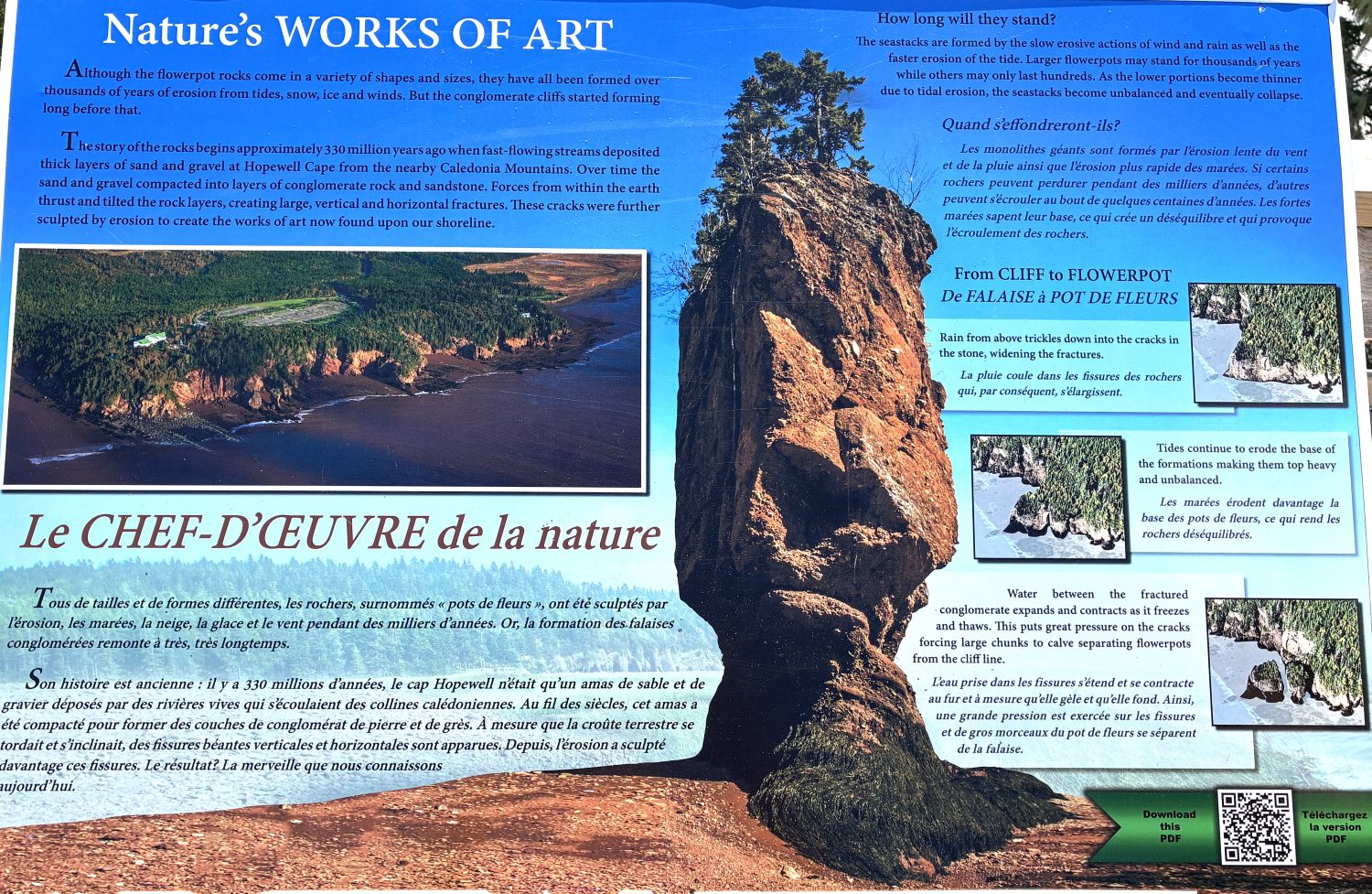
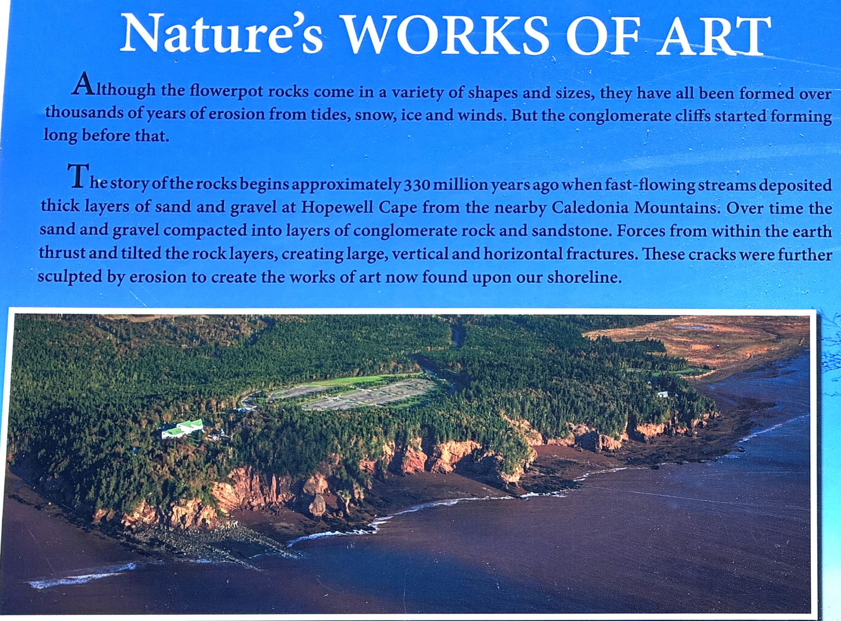
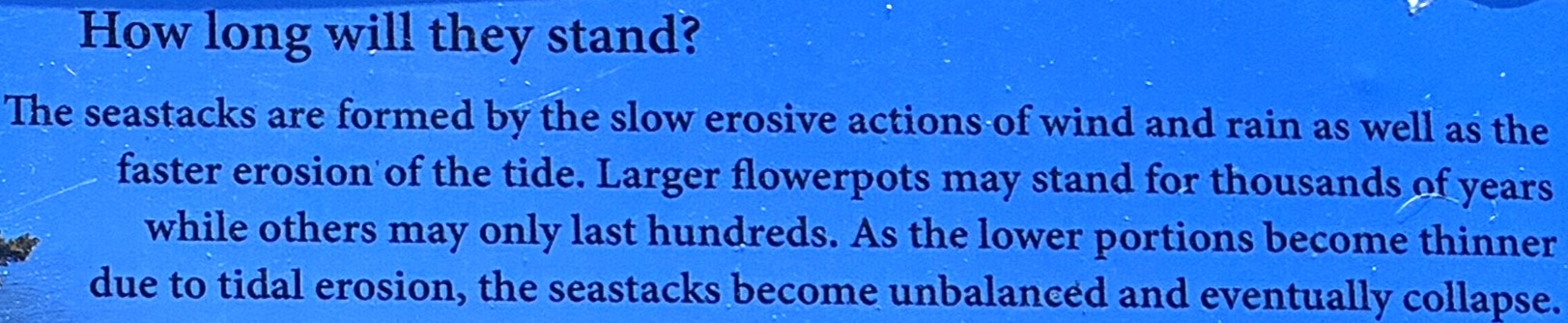
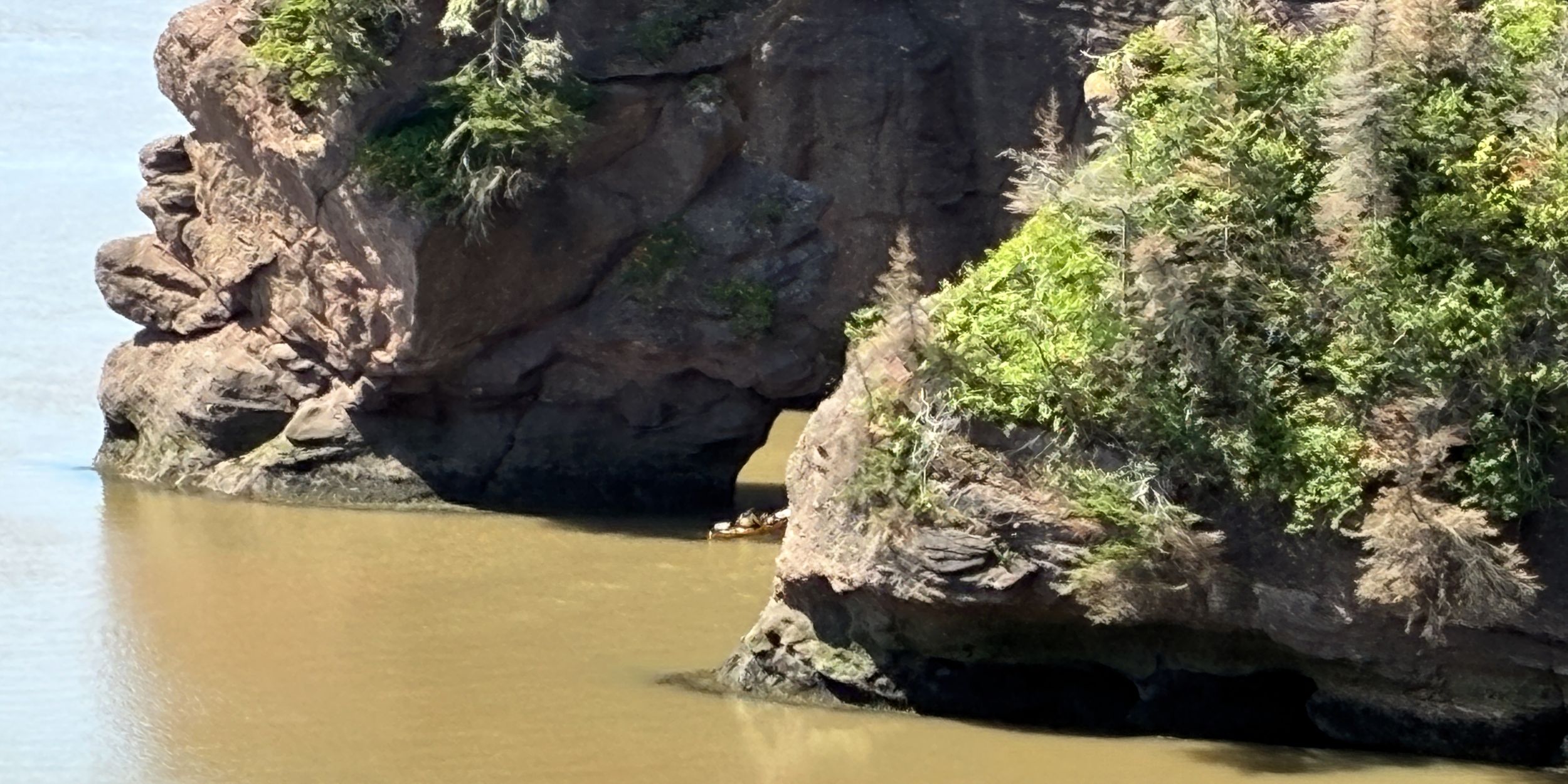
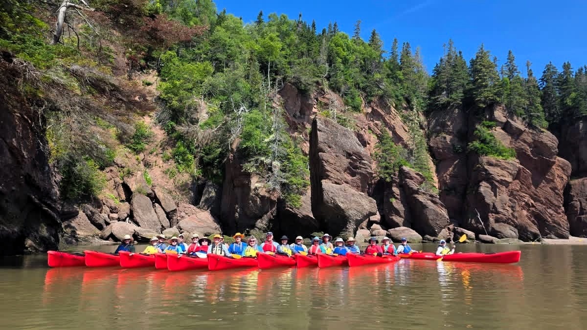
The tide was in and several of our group had gone on an optional kayaking adventure among the rocks. We hoped we might see them. We spotted a kayak just heading between the rocks…
Later, on our Facebook page, we found Darlene had posted this photo of our kayakers.
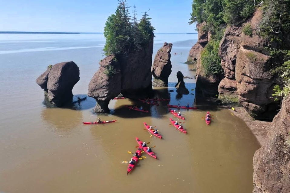
And Jennifer posted this one.
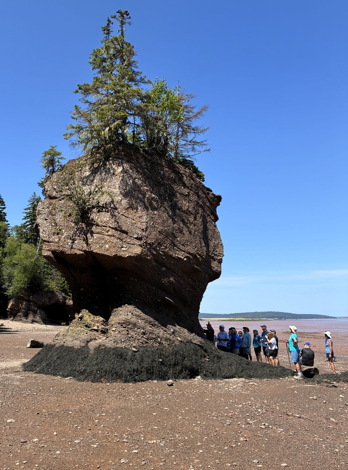
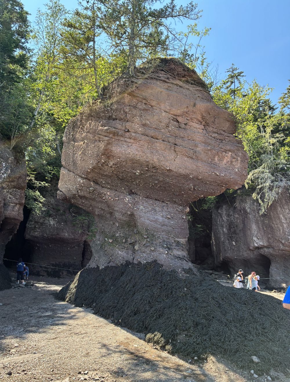
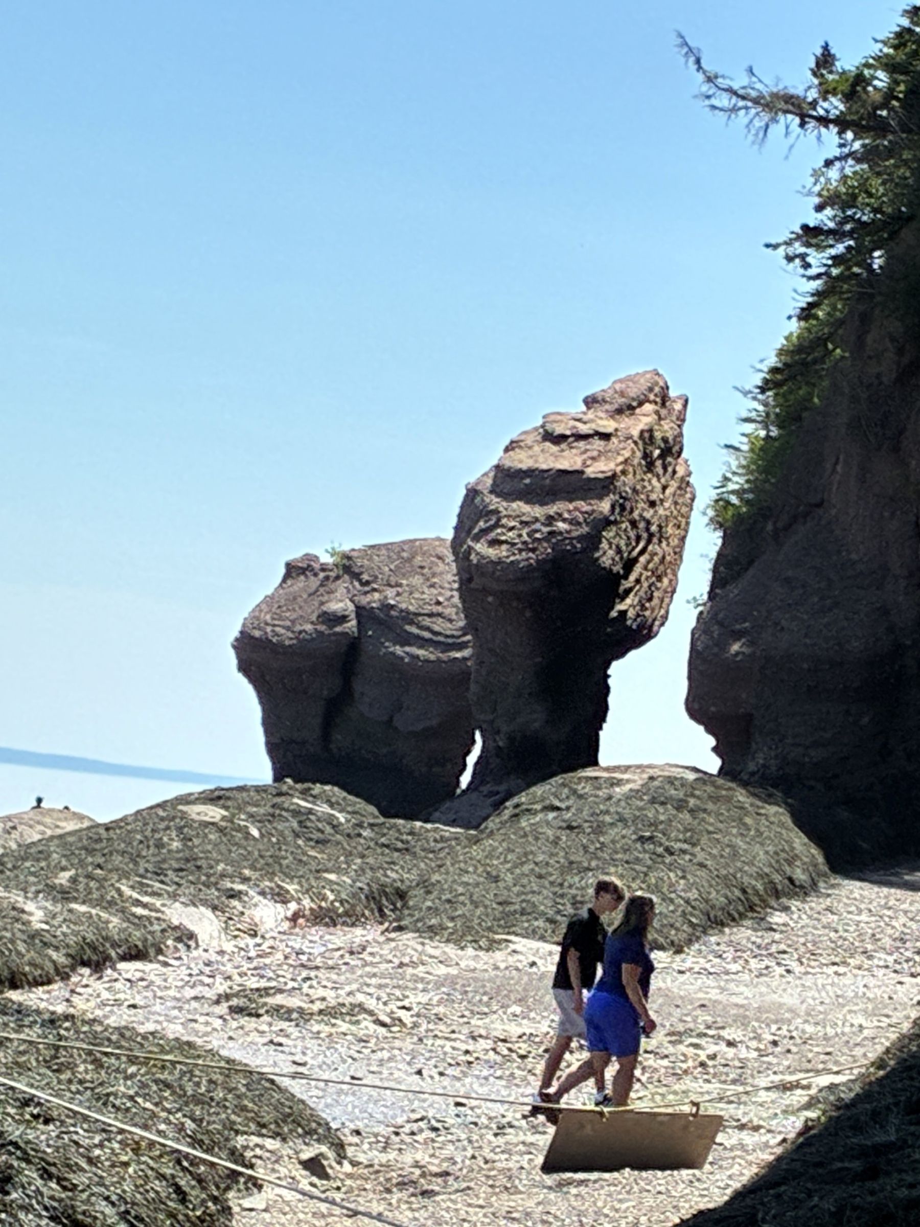
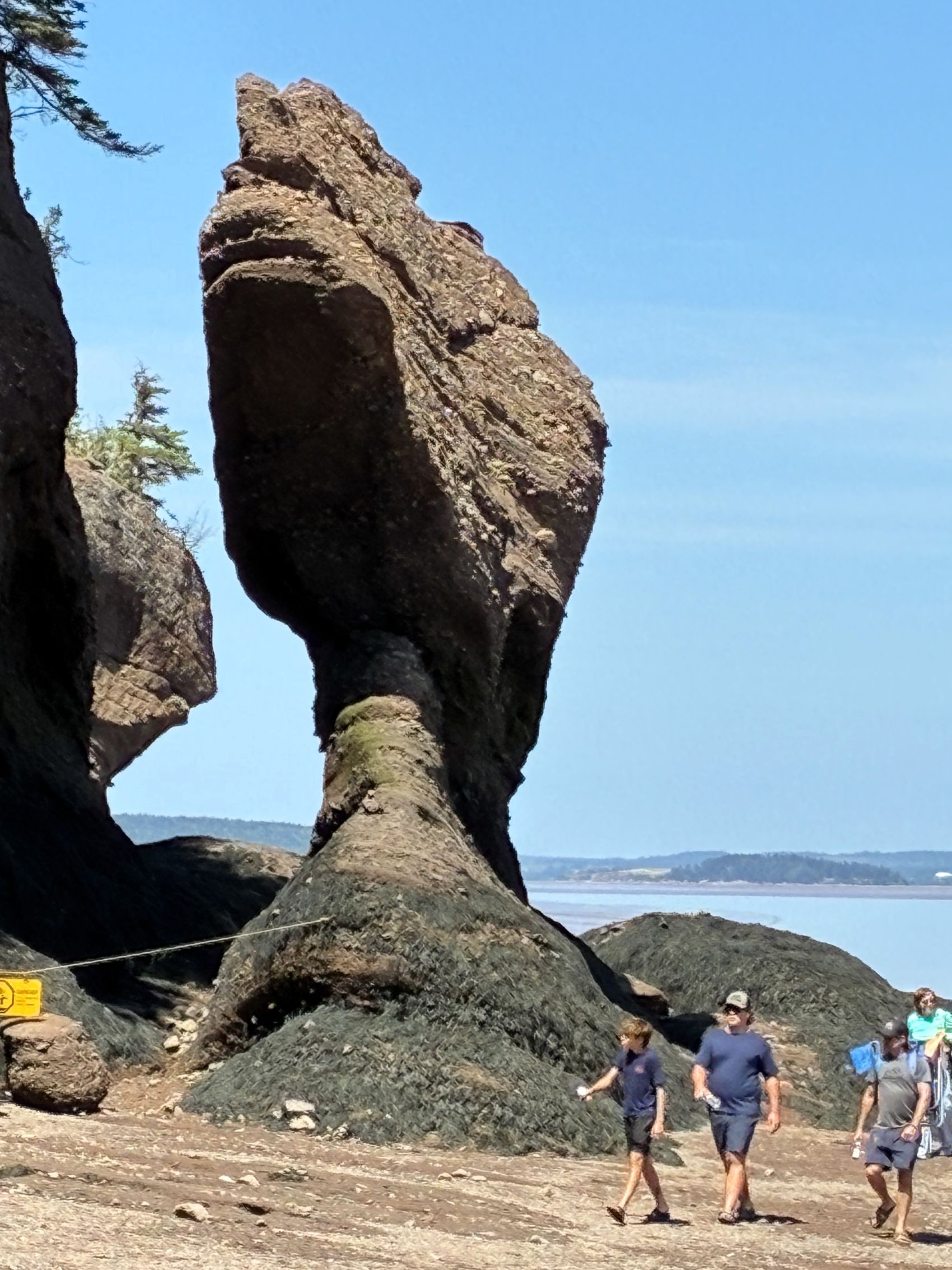
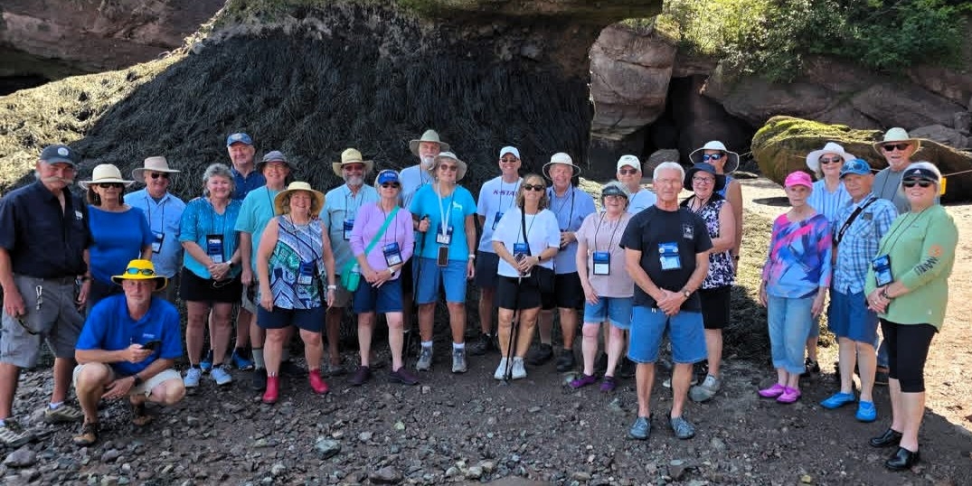
After lunch, the tide had gone out again and we had a group outing to walk on the ocean floor at Hopewell Rocks, which are also called the Flowerpot Rocks, for obvious reasons!
This arch rock was in a photo above – no water around it here!
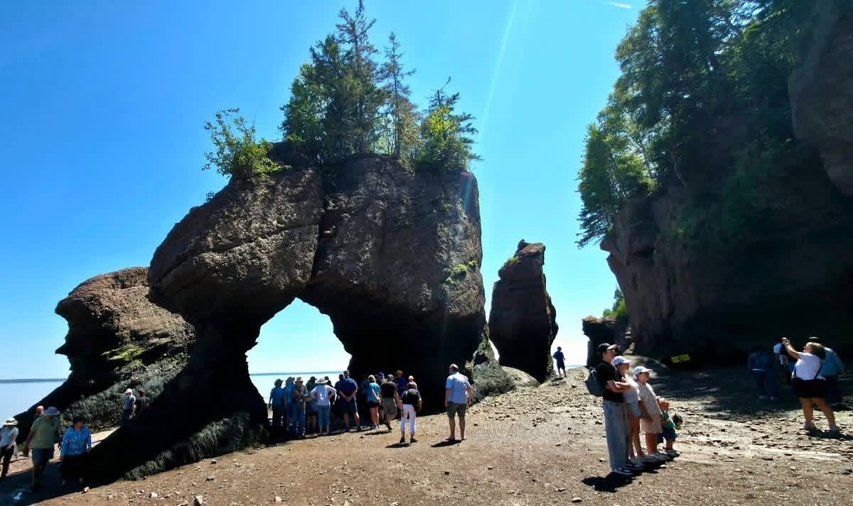
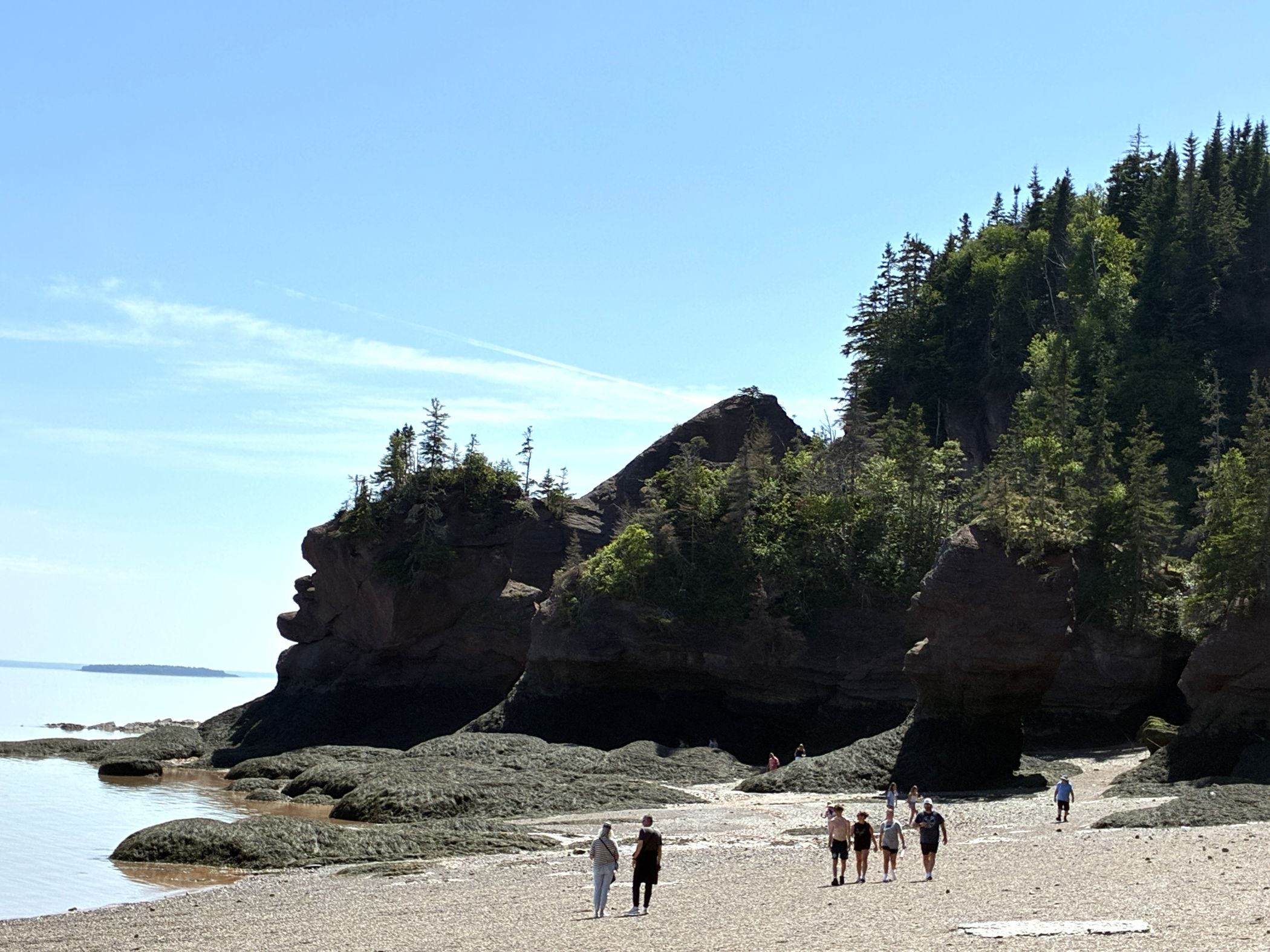
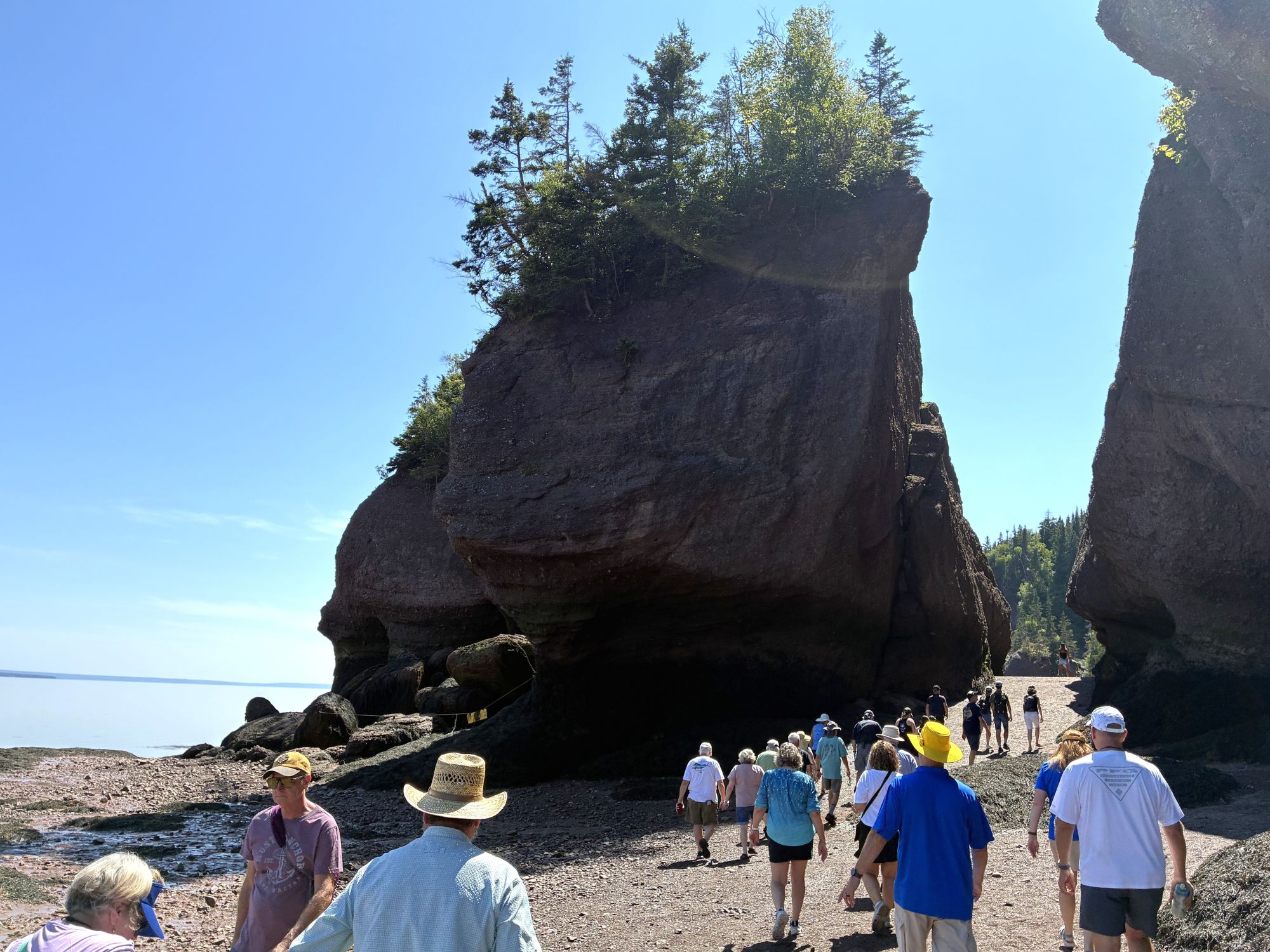
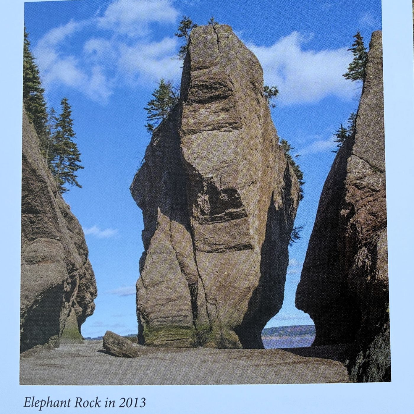
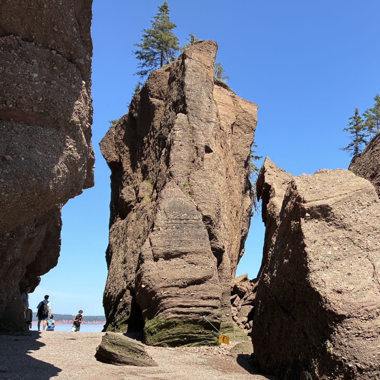
Elephant Rock “calved” in 2016 – the rocks are ever changing due to the tides, ice and wind.
This one is called dinosaur rock.
We left Hopewell Cape at 8:15 on July 27 with 112,922 miles on Acey and 145,192 on Thor. We entered Nova Scotia about an hour later.
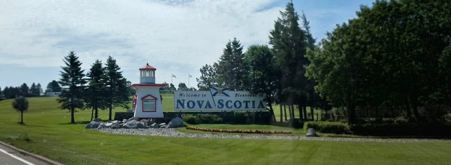
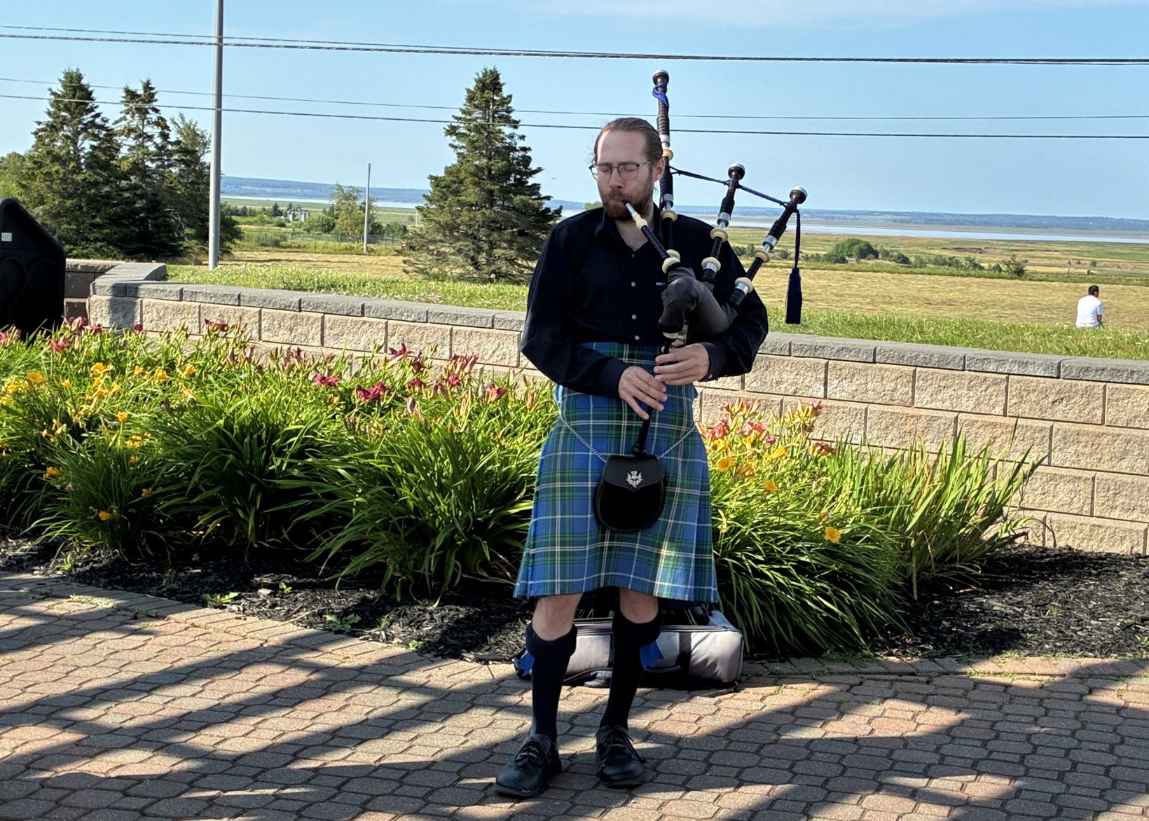
We stopped briefly at the visitor’s center and there was a bagpiper playing!
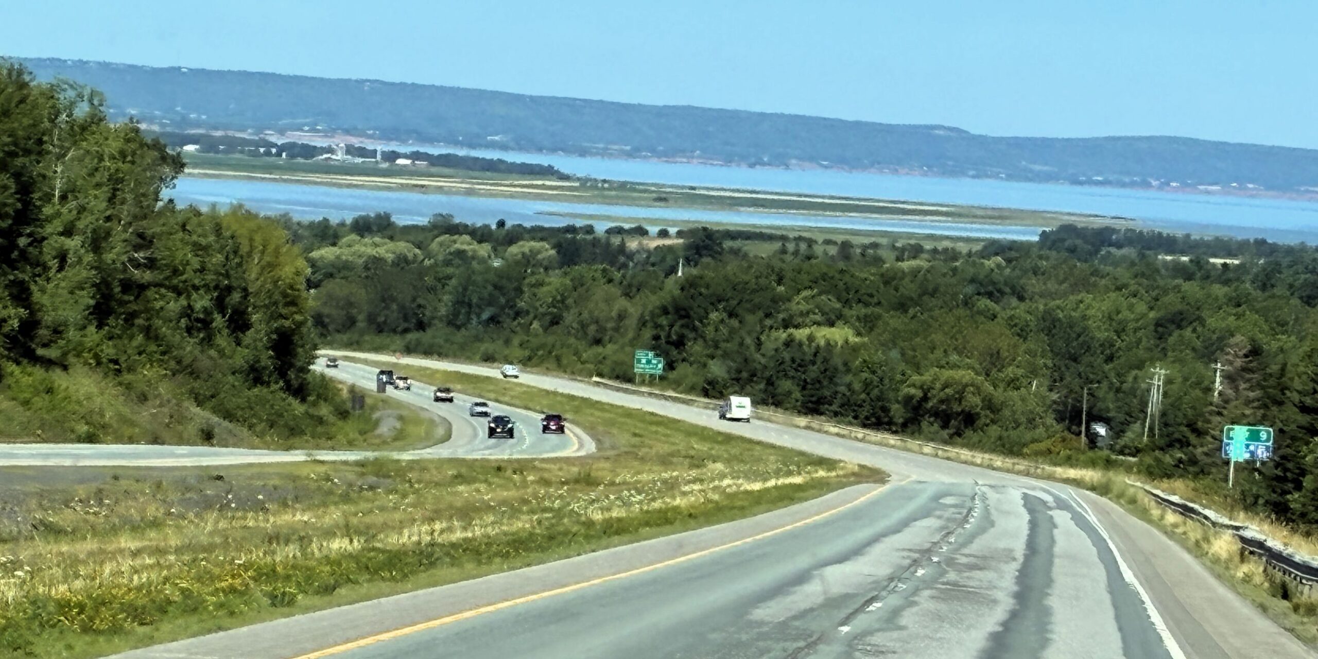
It was a good day for driving – just a few clouds and light traffic.
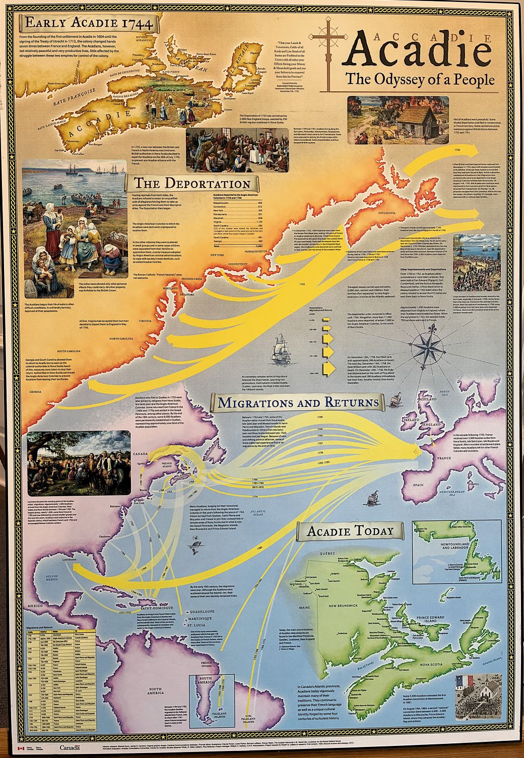
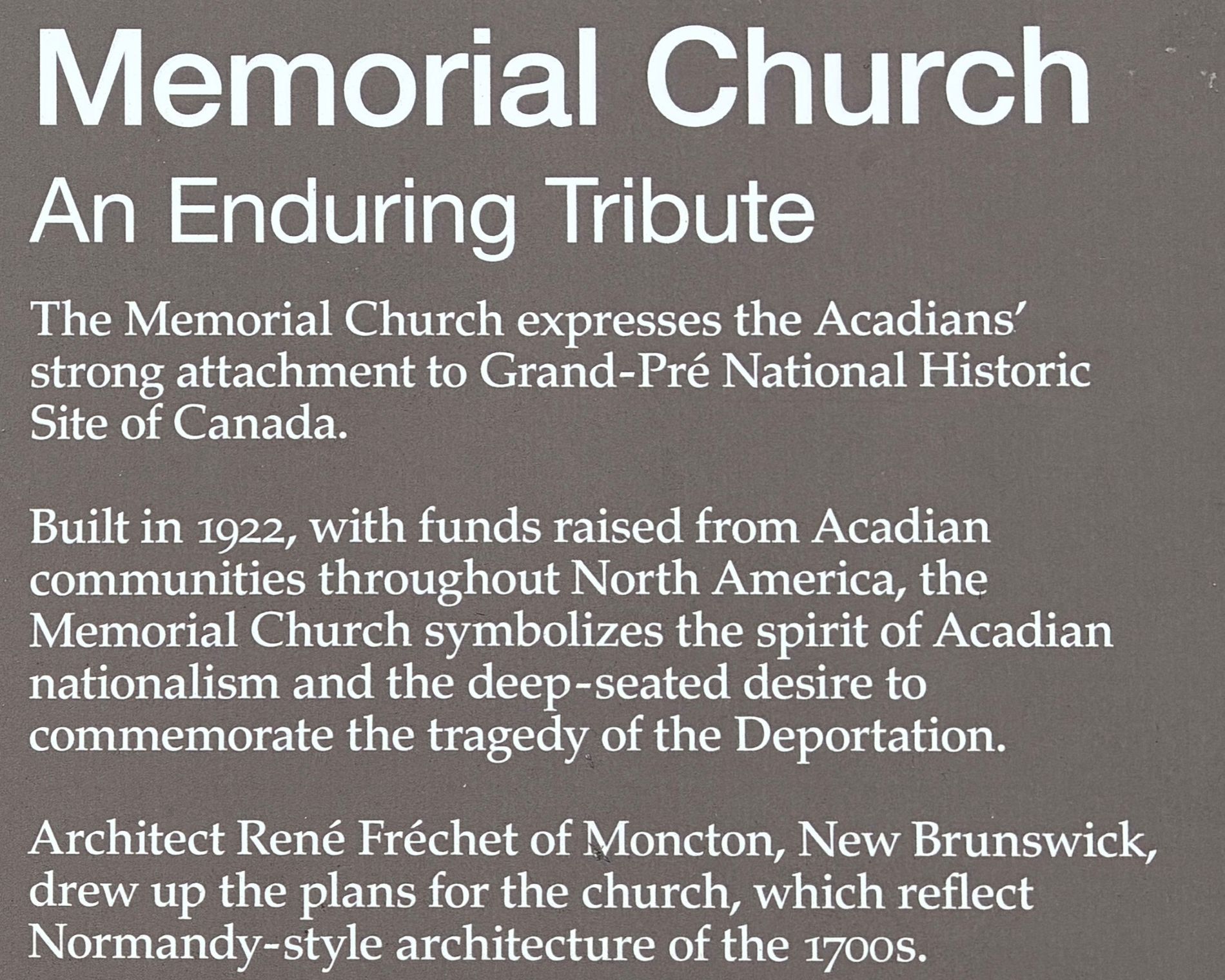
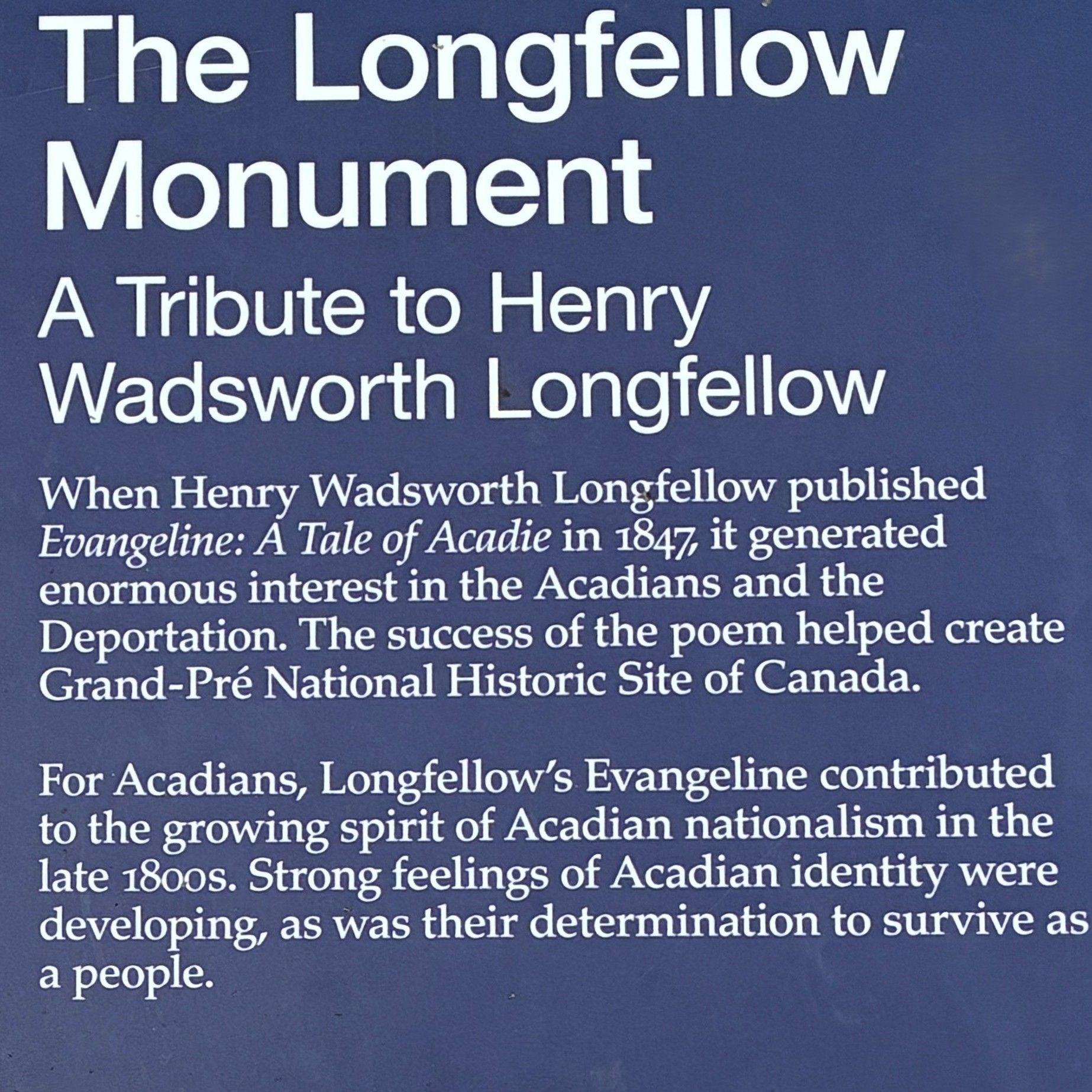
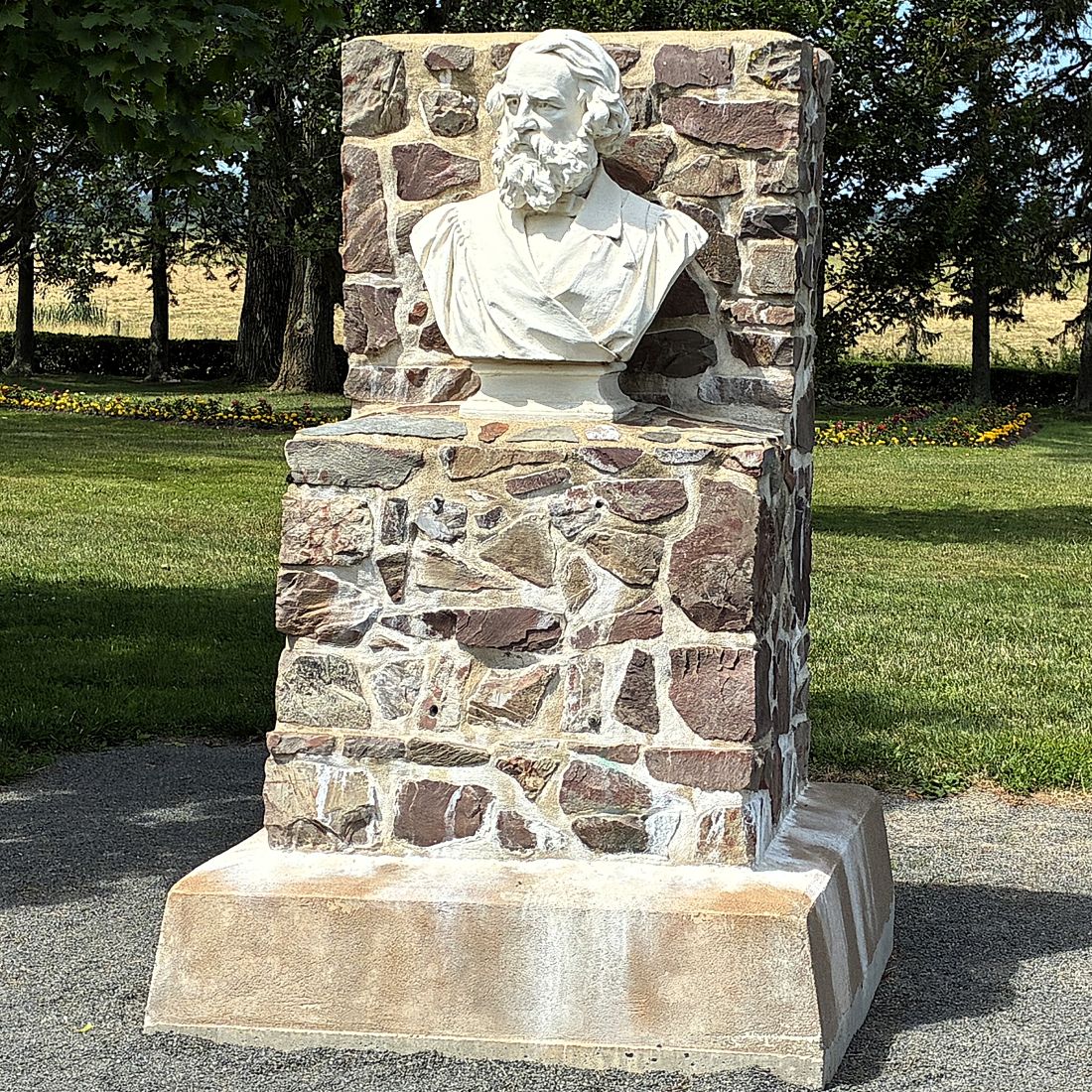
Our ambassadors recommended we stop enroute at Grand-Pré National Historic Site (Grand-Pré is French for great meadow), so we did. Grand-Pré, a UNESCO World Heritage Site, was a center of Acadian settlement from 1680 to 1755, and the British deportation of the Acadians that happened during the French and Indian War; 1754-1763.
In the 1680s, the Acadians settled there and built dykes to develop the farmland and lived in harmony there with the local First Nation Mi’kmaq peoples. Several times, the area was contested and fought over by France and Britain. In the second half of the 18th century the British forced the Acadians from the land. Many perished; survivors re-settled in many places, including Louisiana; becoming ancestors of the Louisiana Acadians, or “Cajuns.”
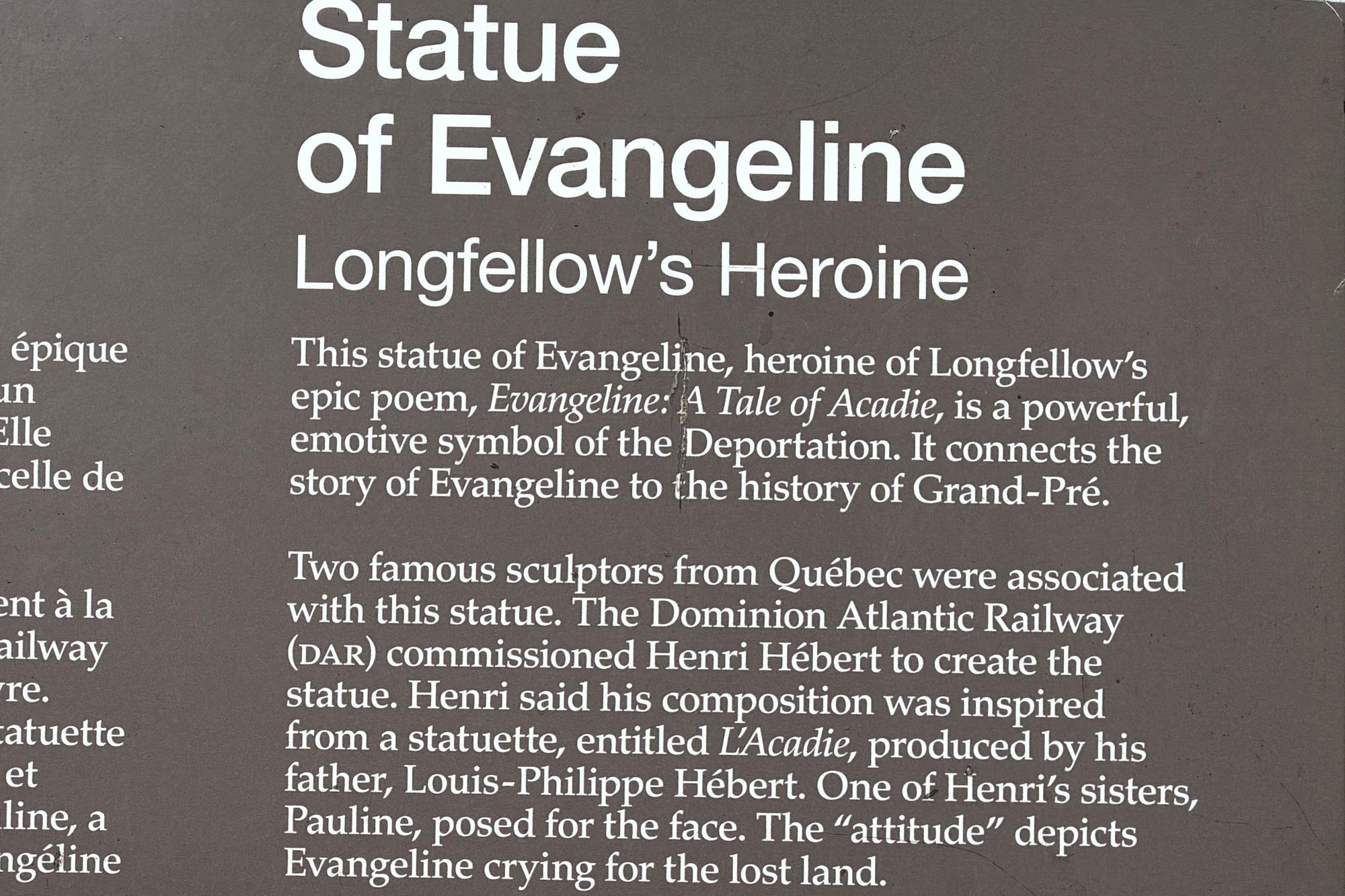
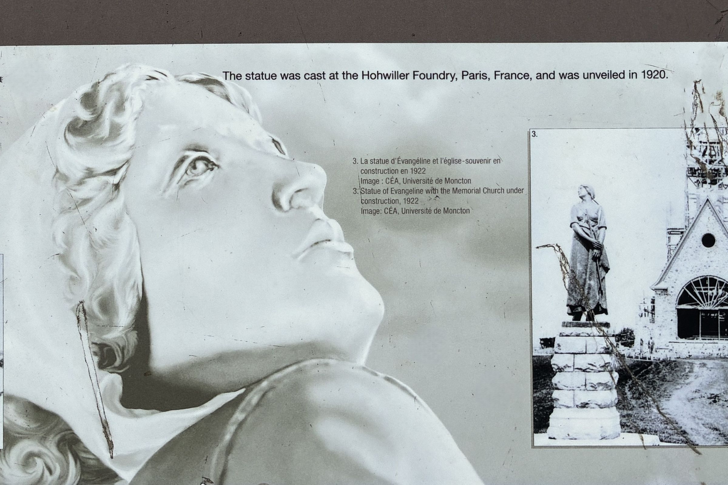
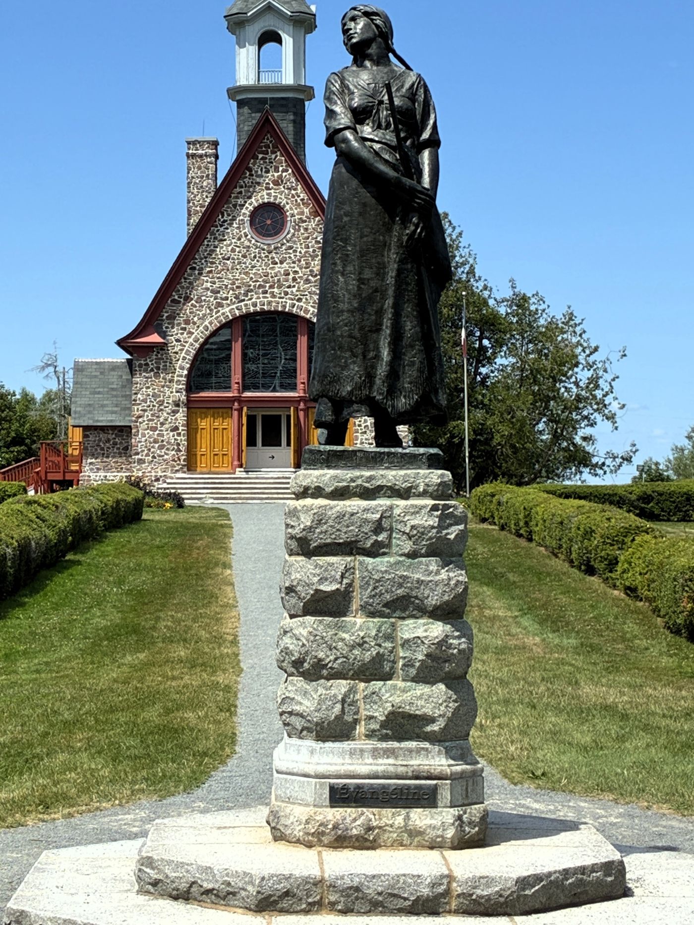
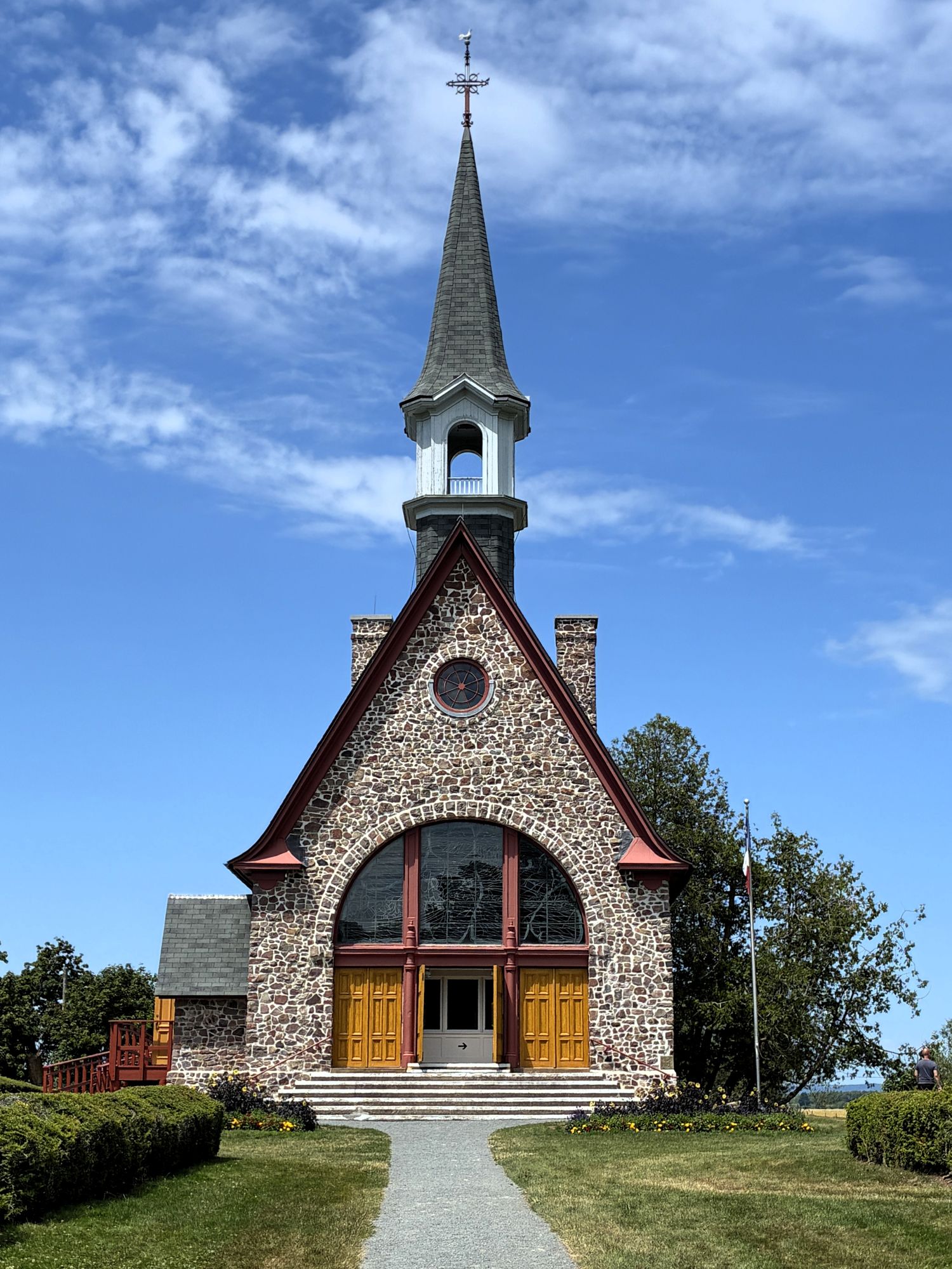
The appearance of the original pre-Deportation church is not known; but Archaeological excavations in 2001 suggest that this new Memorial church was indeed built approximately where the original Grand-Pré parish church stood.
We arrived at the Cove Oceanfront Campground in Parkers Cove, Nova Scotia, at 4:30. This campground was amazing! The sites were spacious and located on a hillside facing the Bay of Fundy.
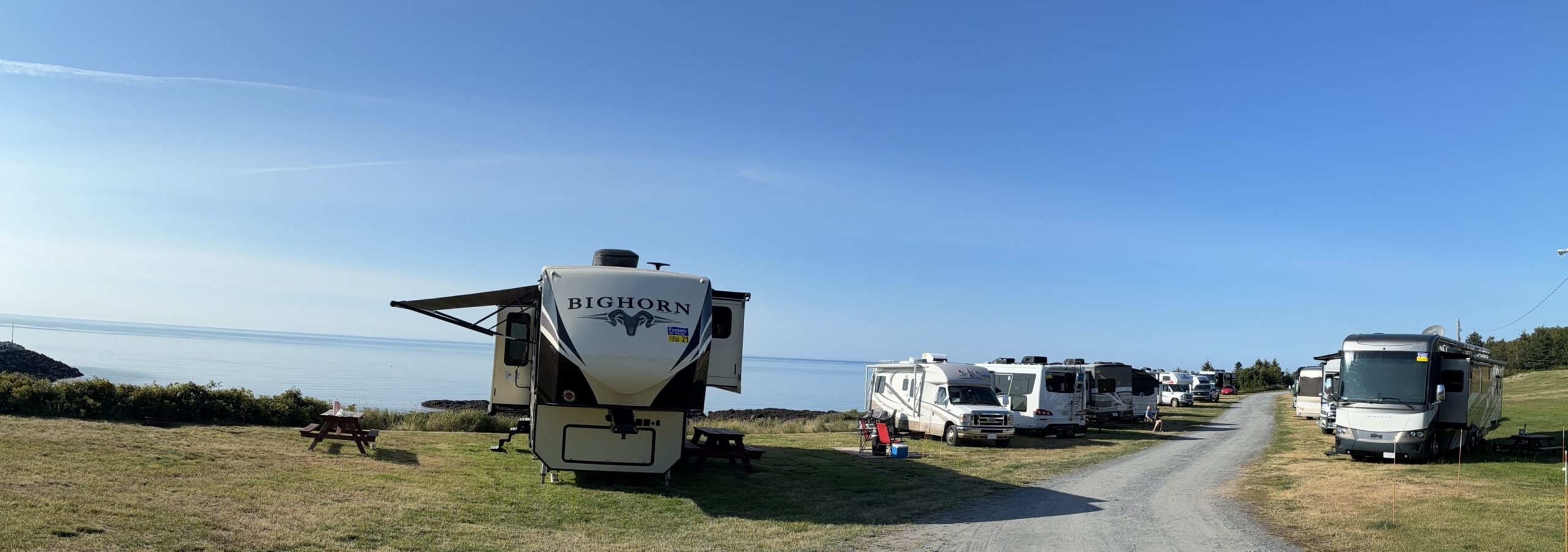
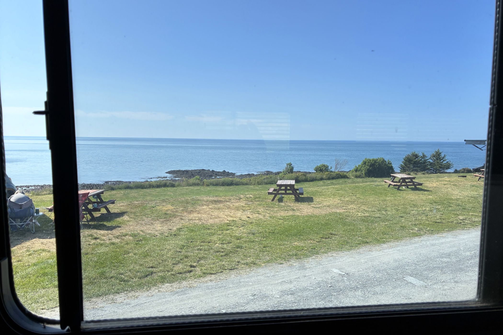
From our side window we had a great view of the bay.
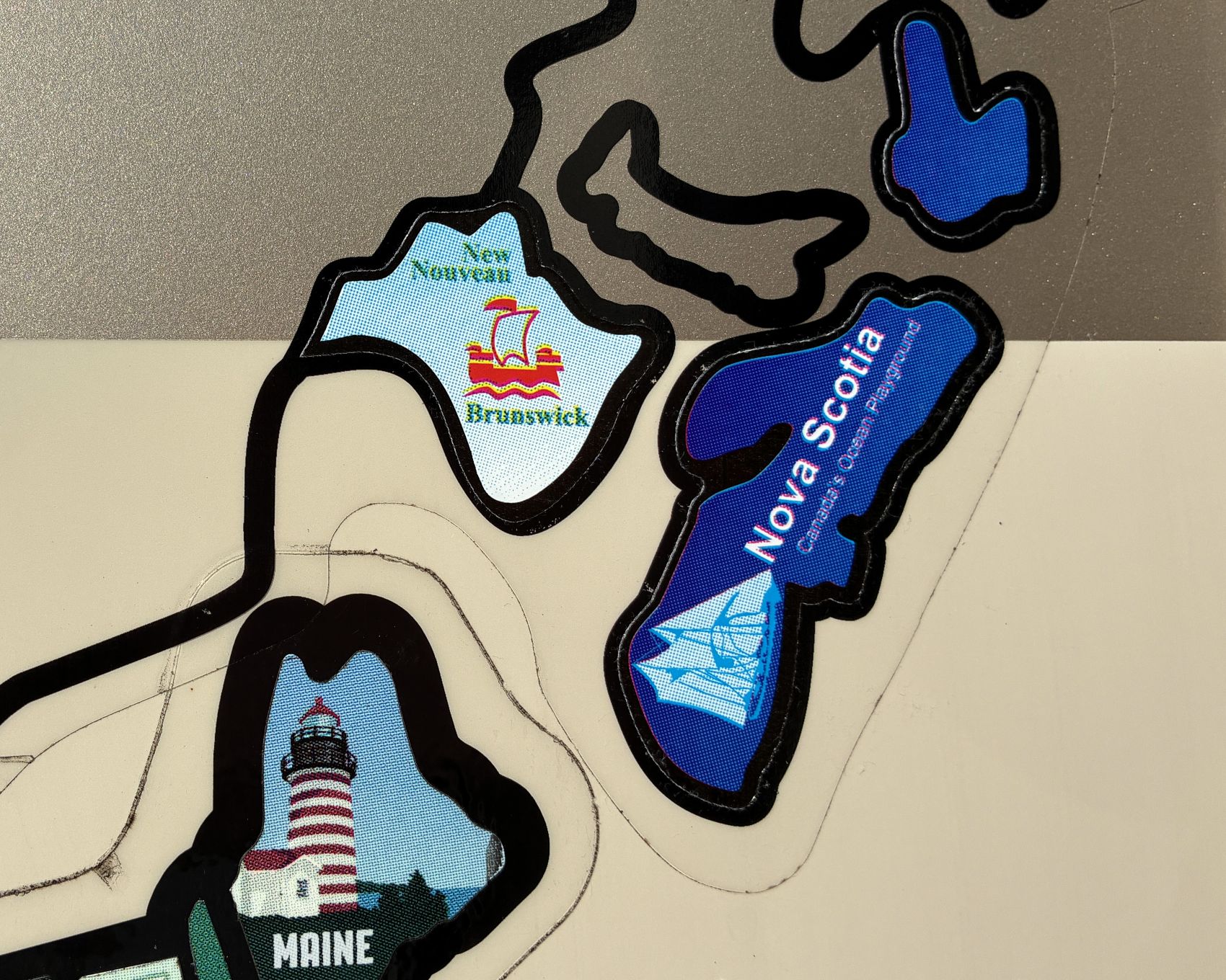
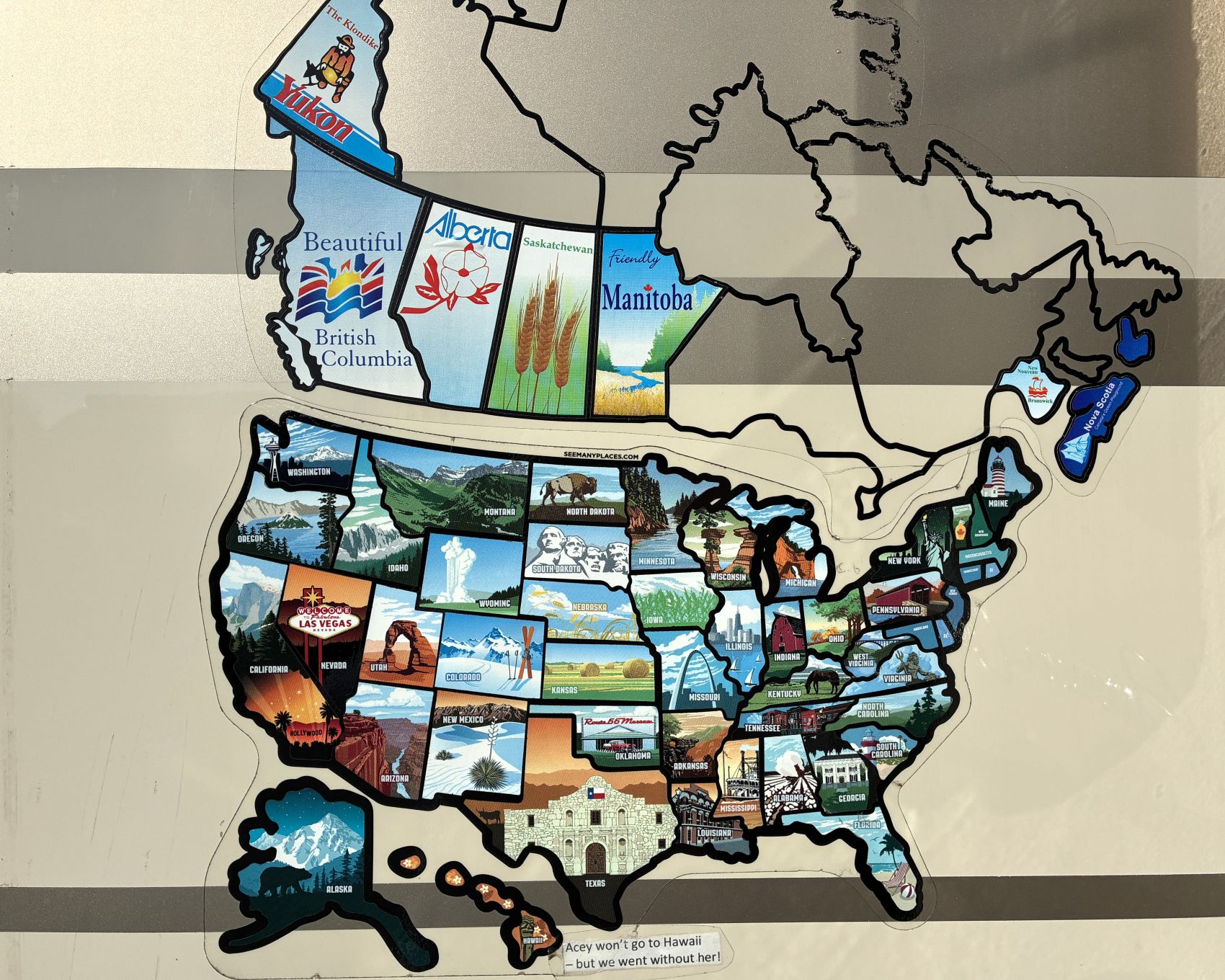
We added Nova Scotia to our map of places that we have traveled to in Acey.
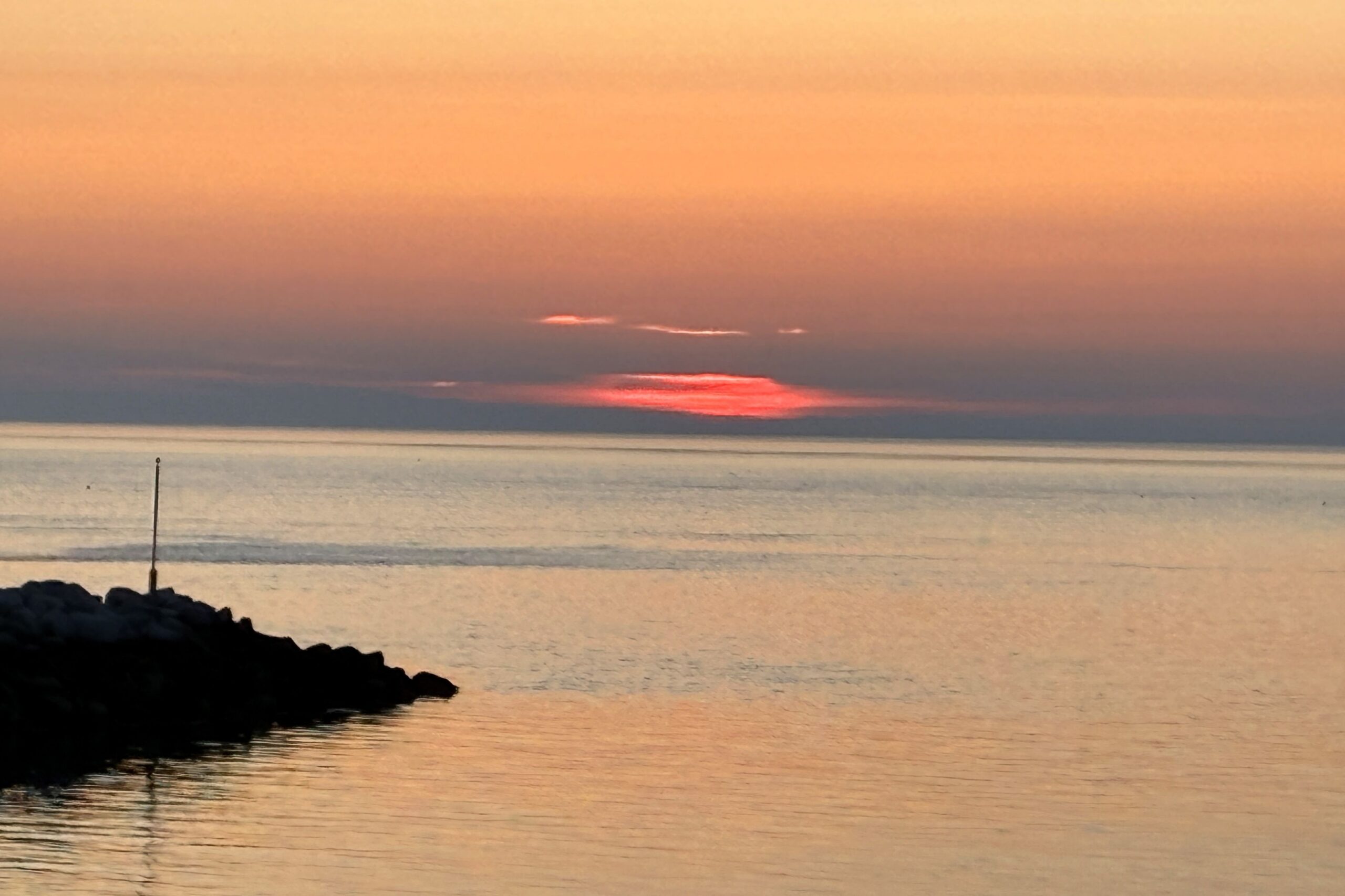
We faced west and watched the sun set over the Bay of Fundy.
Two months before the caravan we were sent an email from our Fantasy ambassadors with an attachment; 35 pages of optional activities to consider while in Canada! So, we scheduled a whale watching adventure for July 28 for the two of us. Jim received a call from the Brier Island Whale and Seabird Cruise folks when we were at Grand-Pré the day before. We were told we needed to take 2 (free) ferries to get to Brier Island and the first one we should catch at 7:30 and the second one at 8 to arrive by 8:30 for our 9:30 tour. So, getting there was to be an unexpected trip! To get to the first ferry, we needed to leave by 6am! Brier Island is kind of at the end of the world from our campground at Parkers Cove!
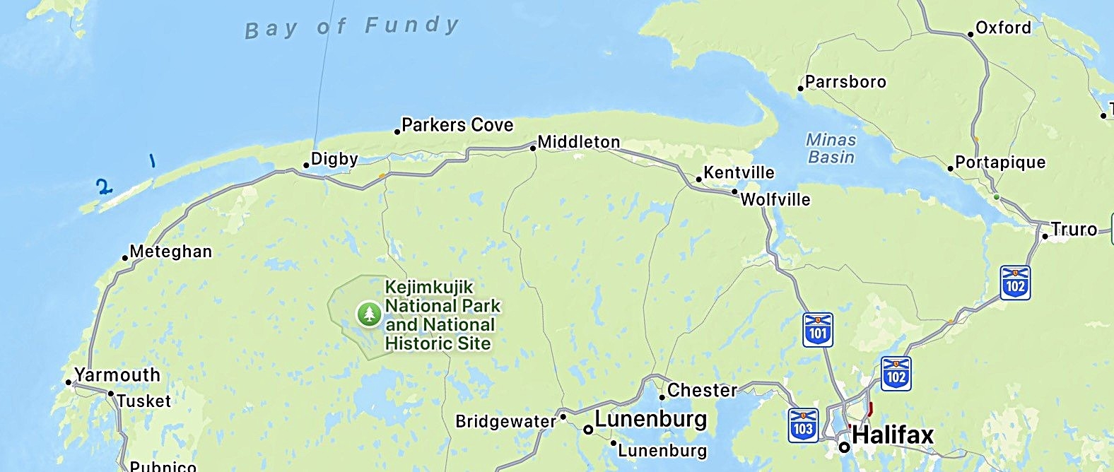
We boarded the 50-foot Mega Nova with about 40 other passengers, plus the crew. We left the dock and headed out into the Bay of Fundy. It was a beautiful clear day; a perfect day to be out on the sea.
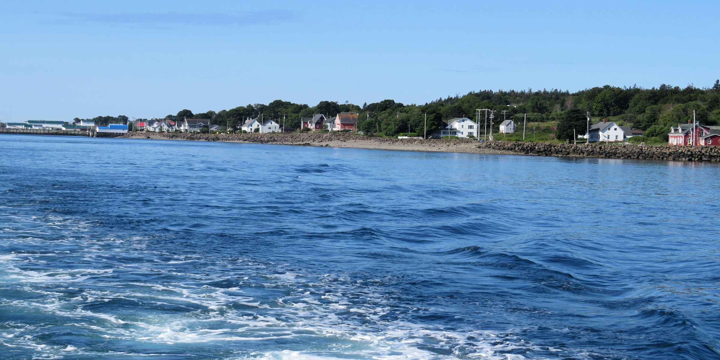
The researcher on board mentioned that Brier Island Whale and Seabird Cruises has been collecting data on cetaceans in the Bay of Fundy since 1984. Data and photos are contributed to Bay of Fundy Whale Research and Conservation Society, the Gulf of Maine humpback whale Catalogue at the Center for Coastal Studies and the North Atlantic humpback whale catalogue at Allied Whale at the College of the Atlantic. The humpbacks that they see in the Bay are identified by their markings. The same whales return to the Bay each summer with their calves and head south for the winter to their breeding grounds in the Caribbean Sea. She narrated much of what we were seeing, which made the cruise so interesting!
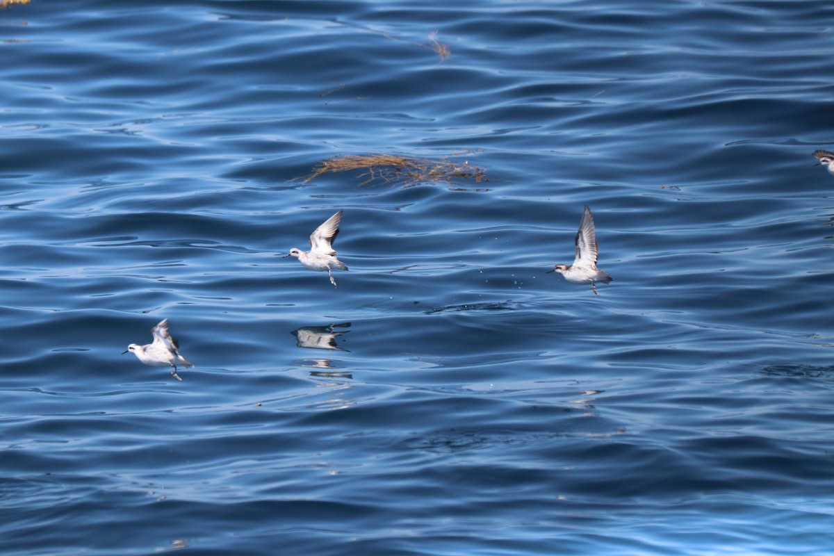
Phalaropes winter on tropical oceans and spend the summer near the arctic. They are noted among birds for complete reversal of sex roles. Females, larger and more brightly colored than males, fight for nesting territories and do the courting; males do all nesting duties and lead the young southward in autumn after the females have departed.
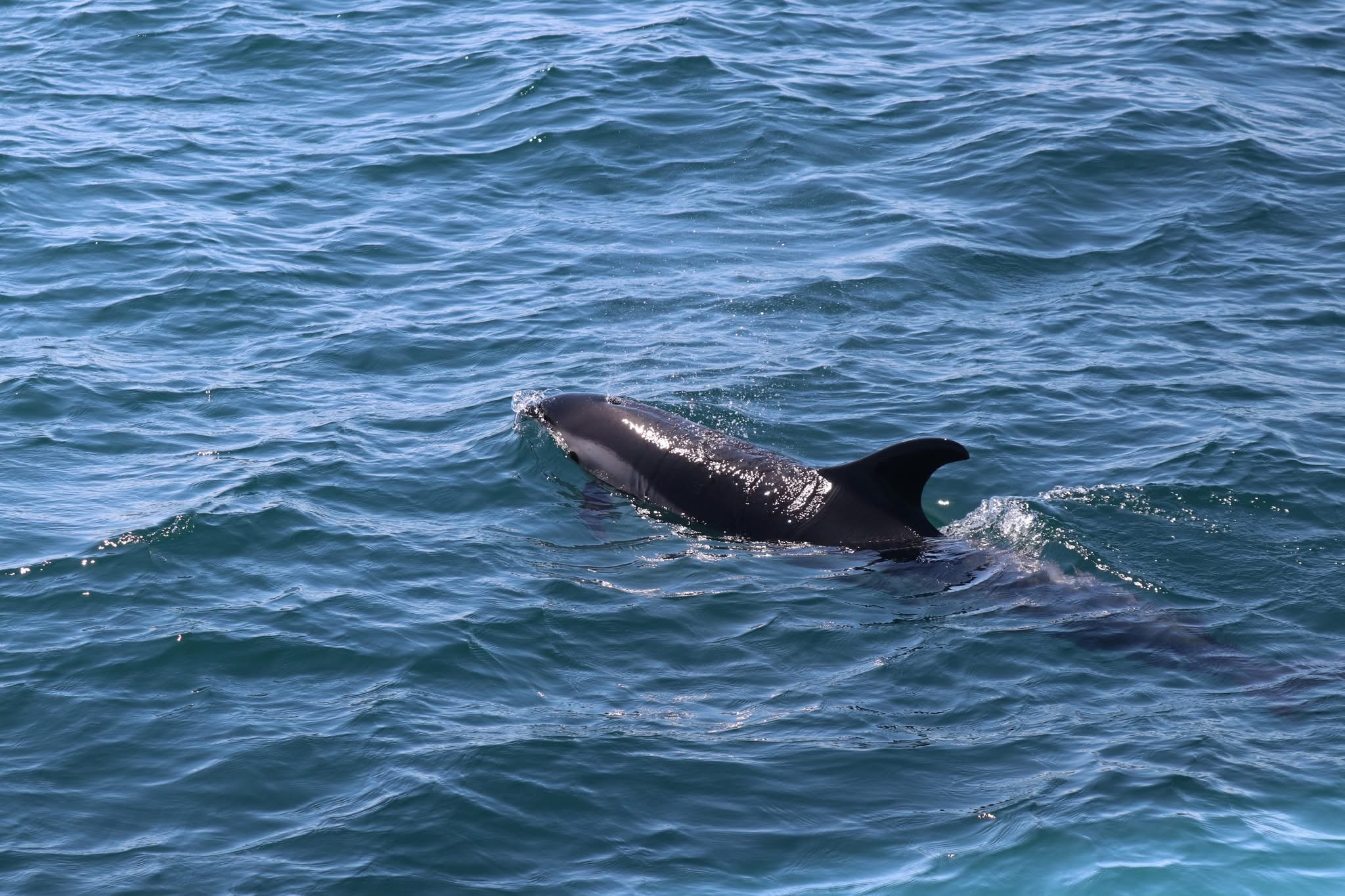
We also saw some dolphins.
A group in a Zodiac were very close to the first whales we saw, and we kind of wondered if we would see much more; we have been on a few whale watching tours before and did not have high expectations!
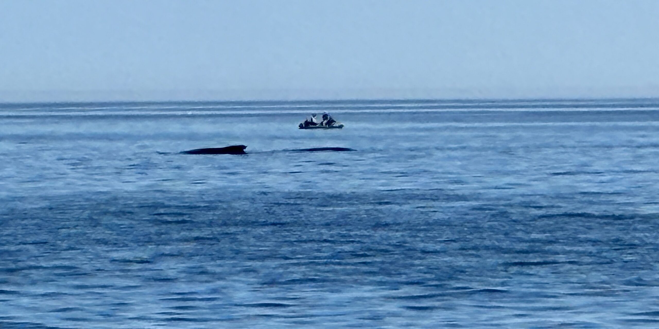
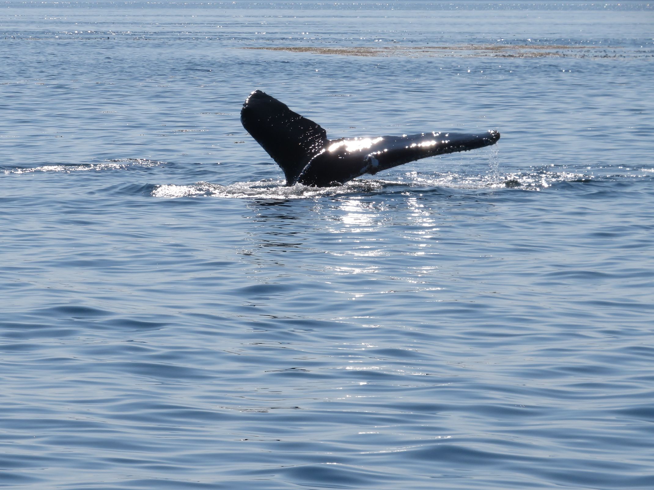
Soon, there was more activity; 3 or 4 humpbacks were diving, breathing out, showing us their “hump” and tail!
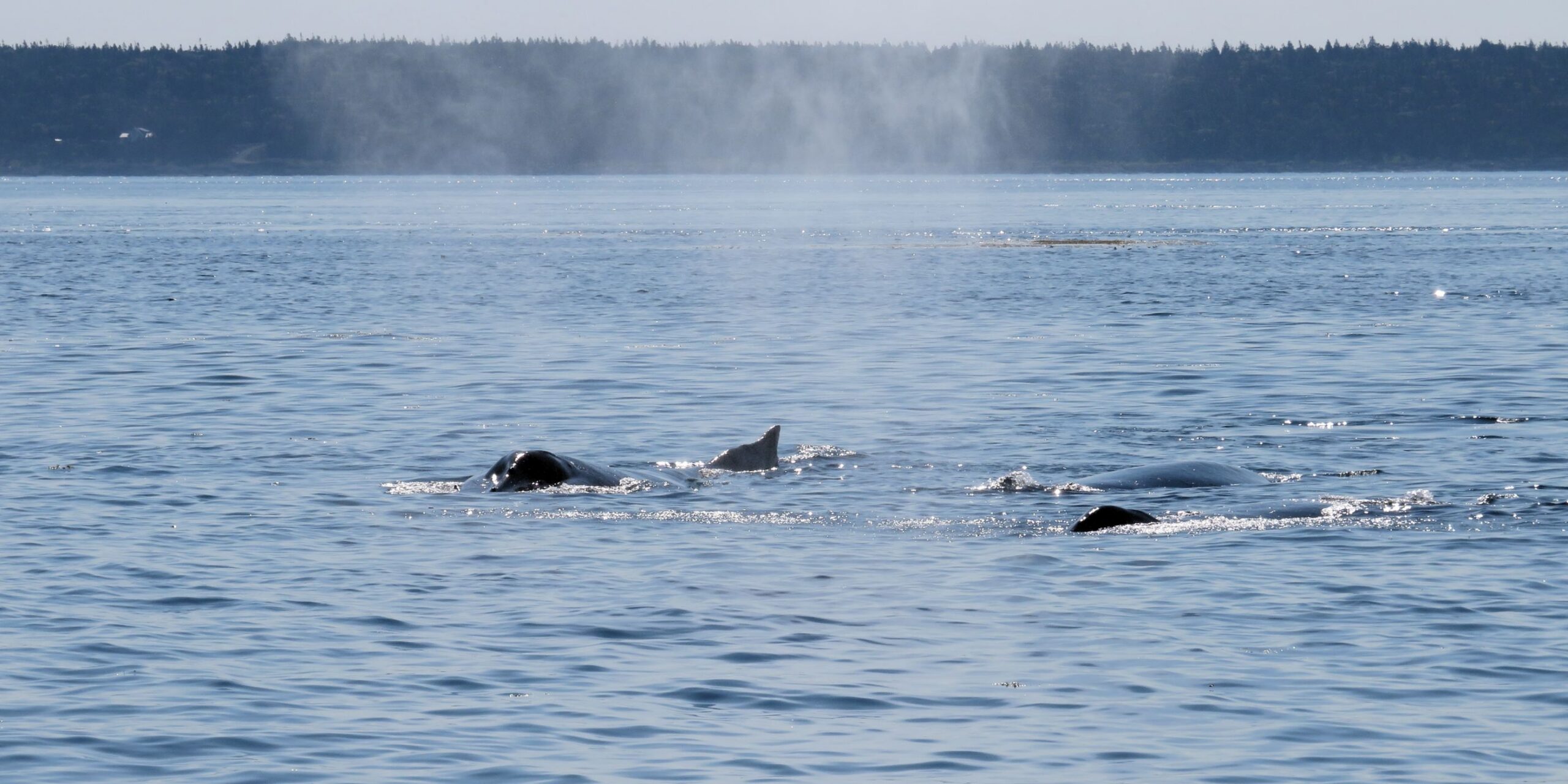
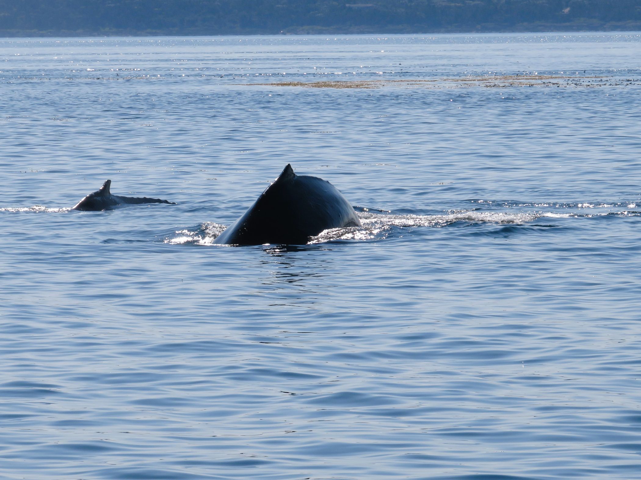
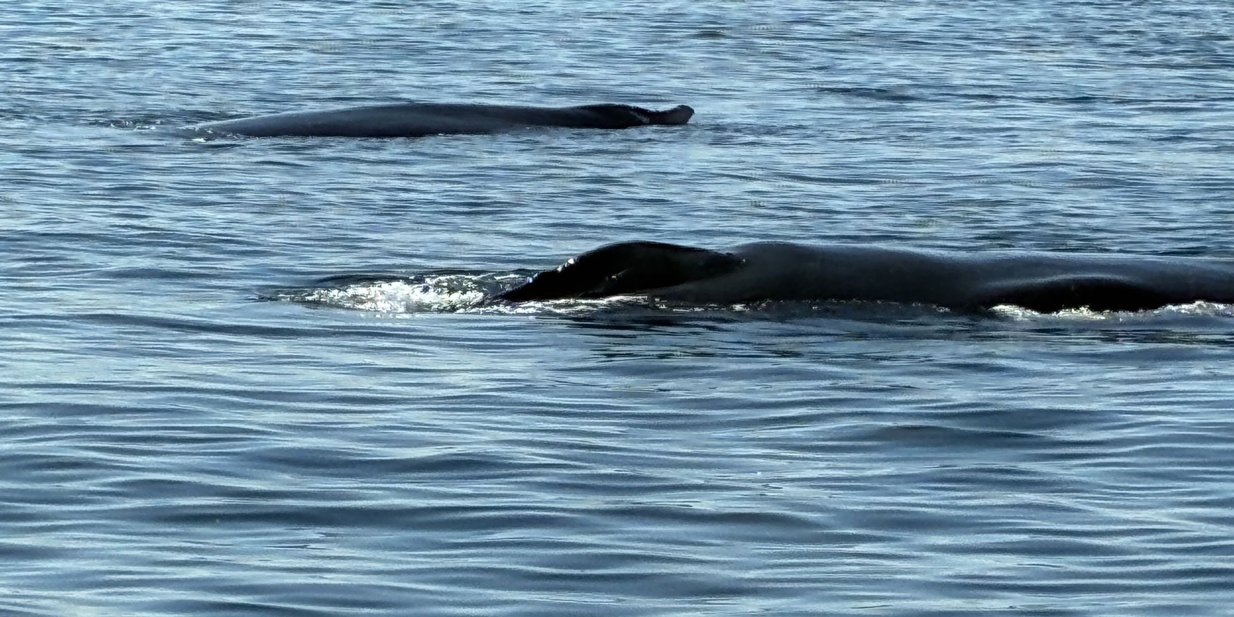
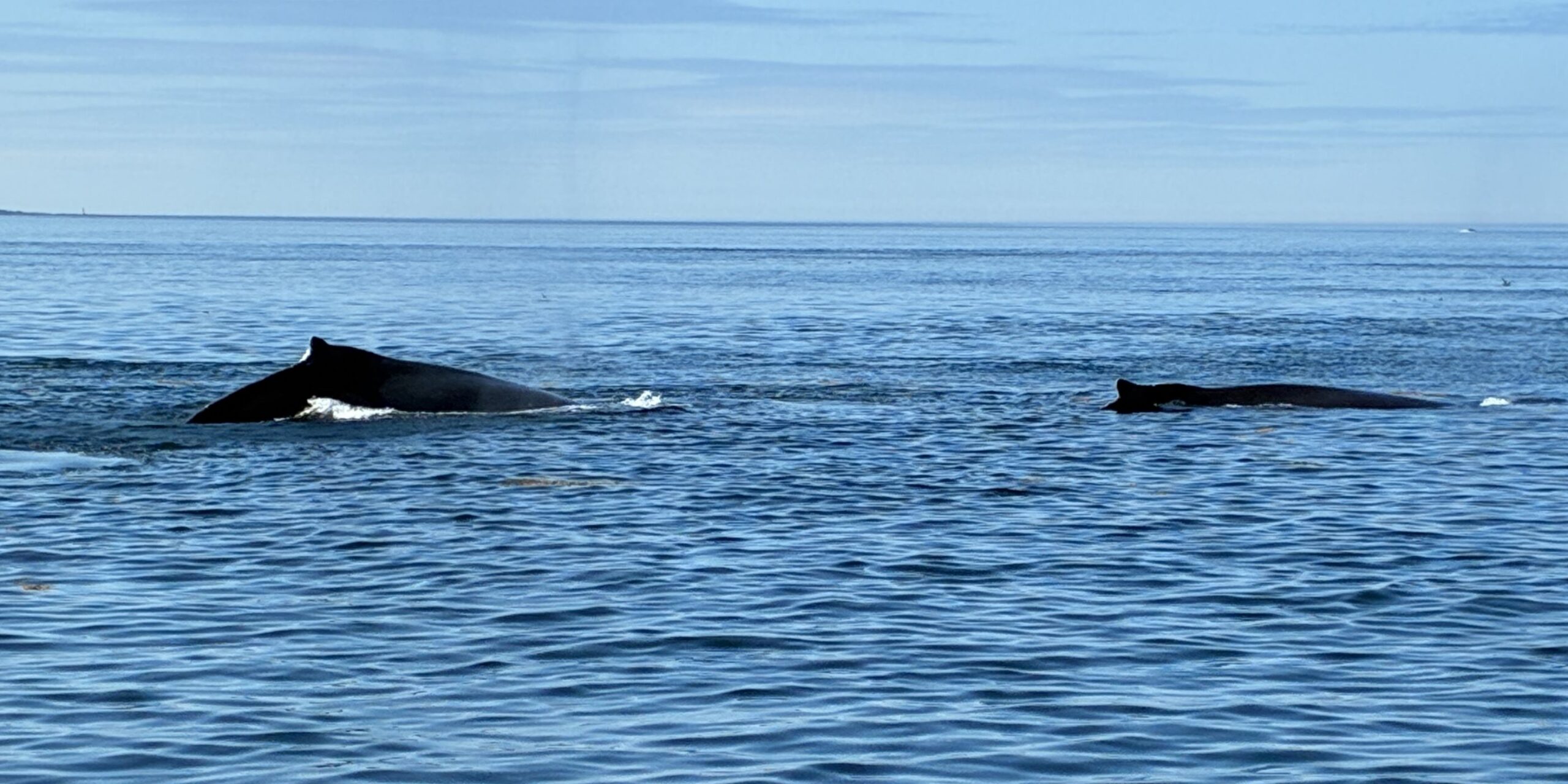
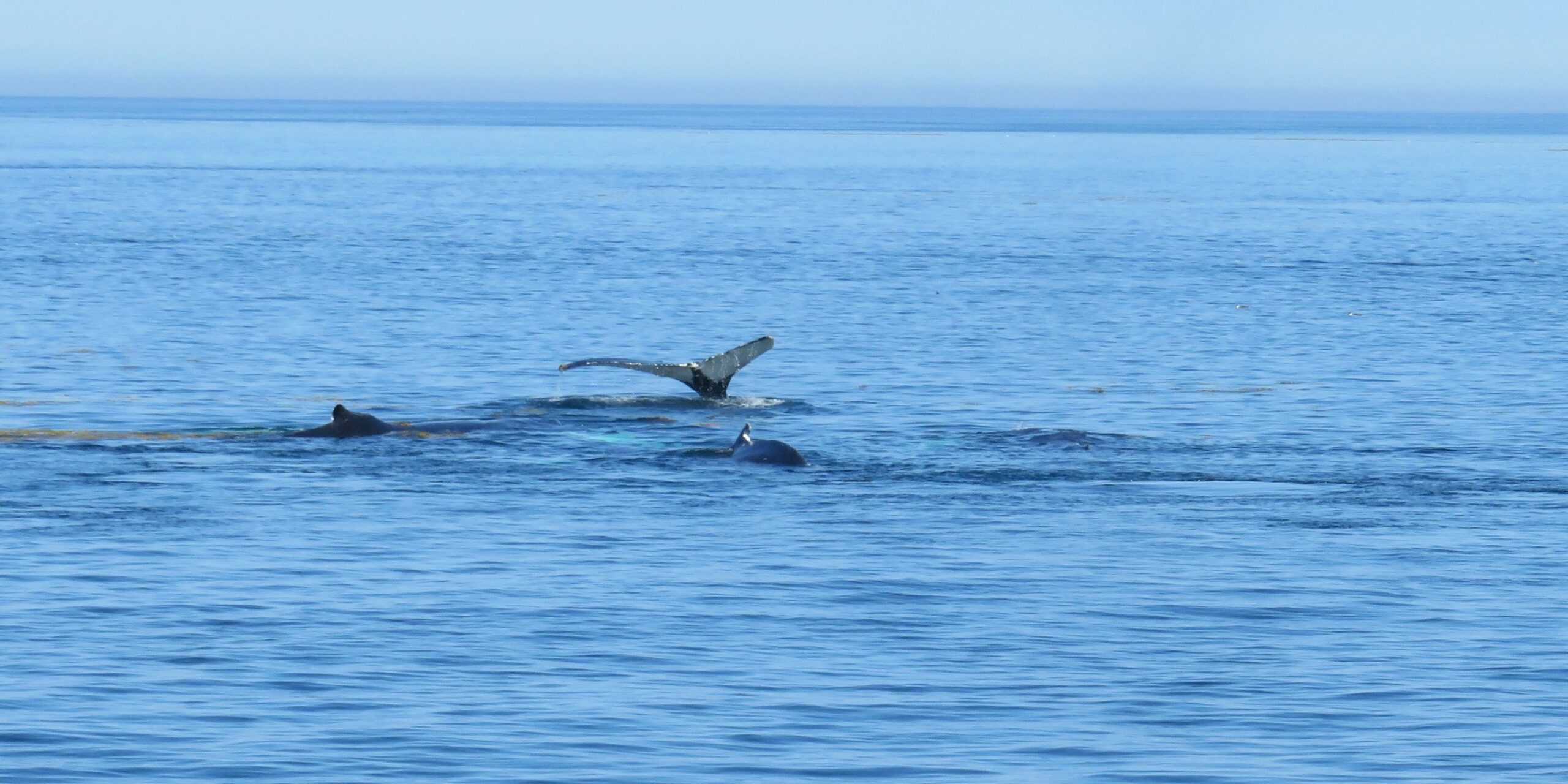
This whale was perhaps watching us watching for it!
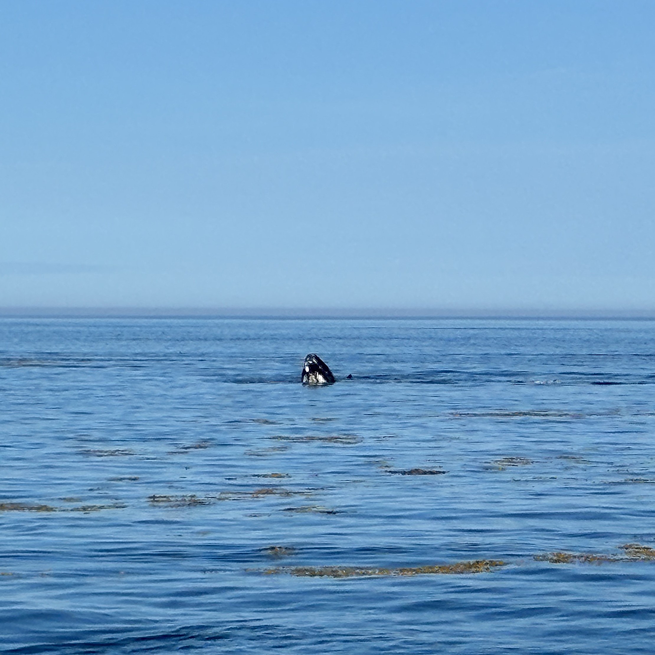
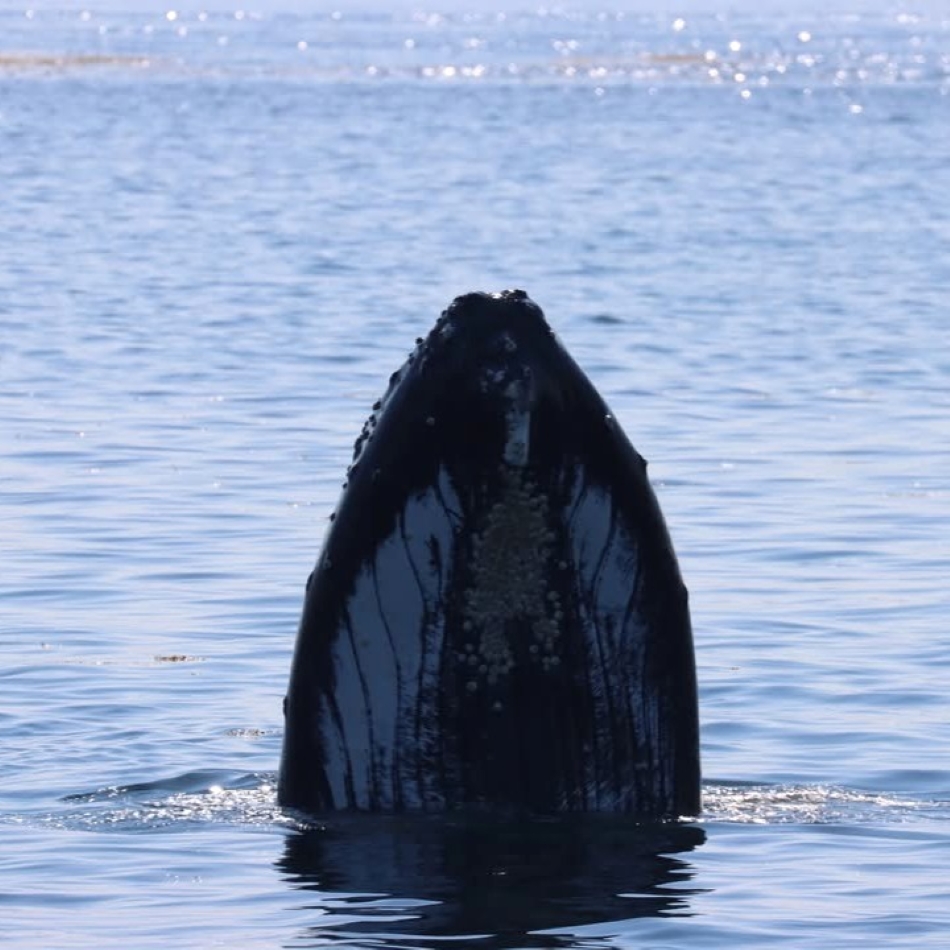
We witnessed two humpbacks doing a full breach simultaneously – what a spectacle! But alas, no photo or video; it happened so fast! However, Jim did get a photo of another humpback doing a partial breach, and the researcher, with a much fancier camera, caught this same whale in action. This was becoming quite an adventure!
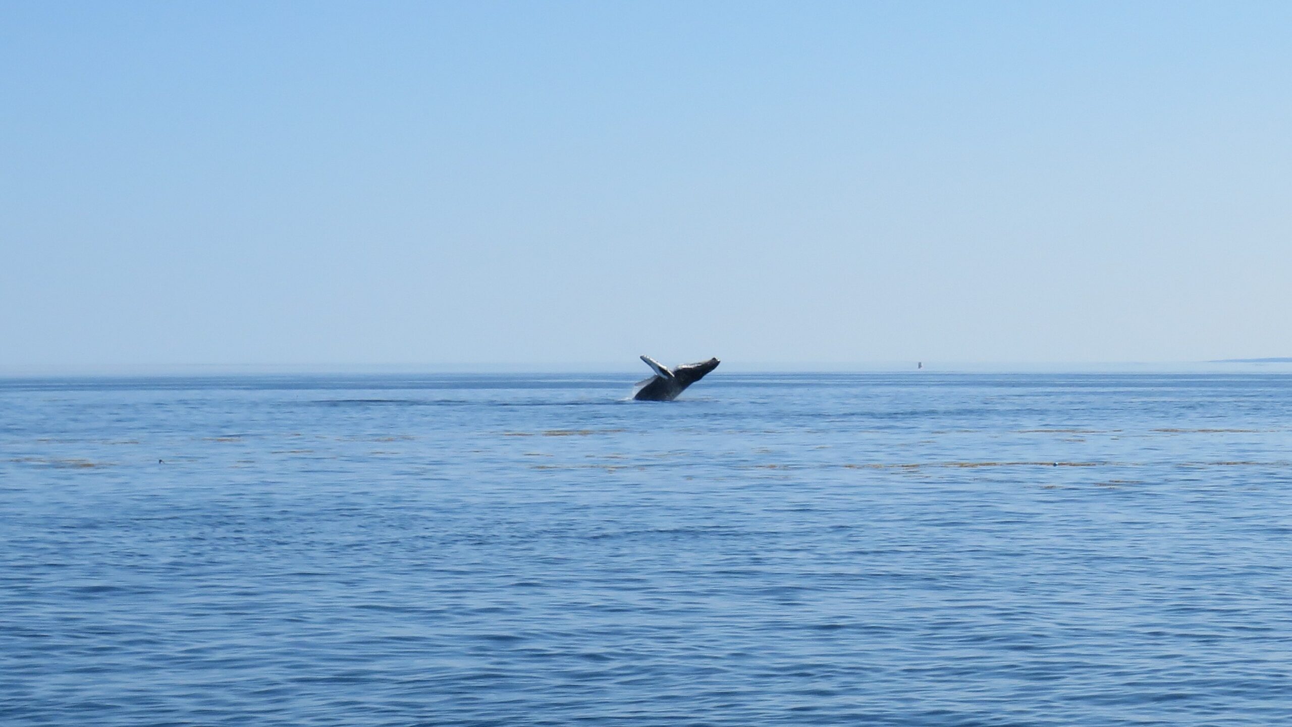
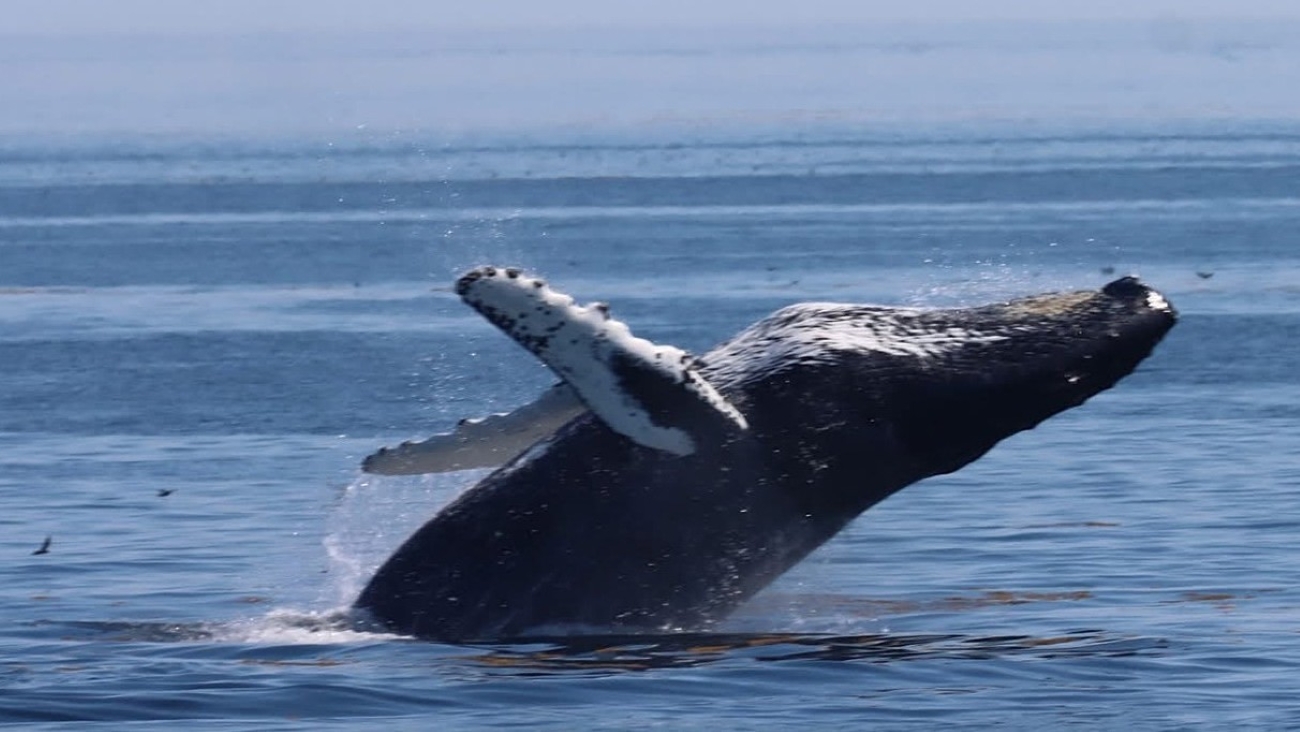
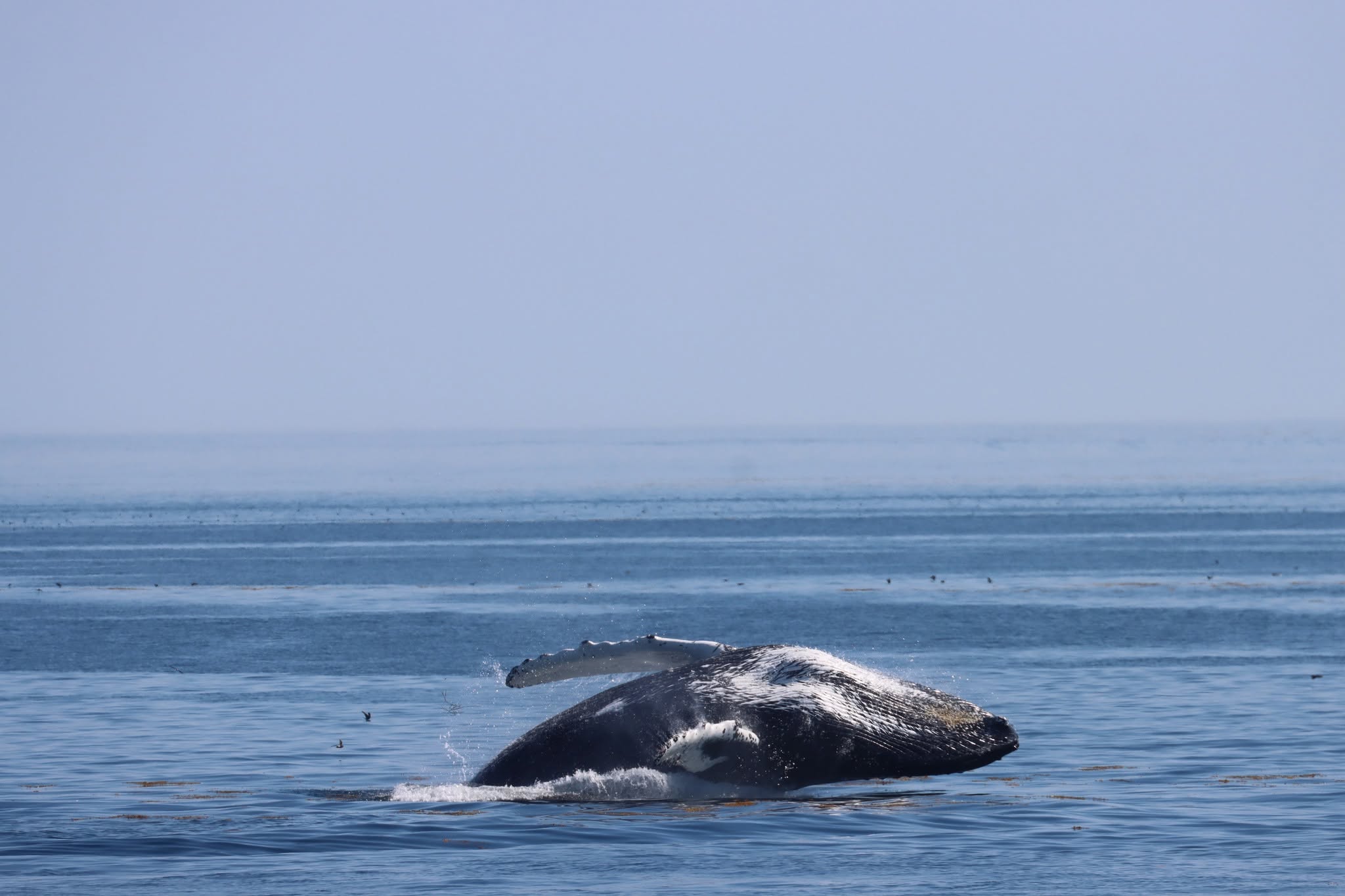
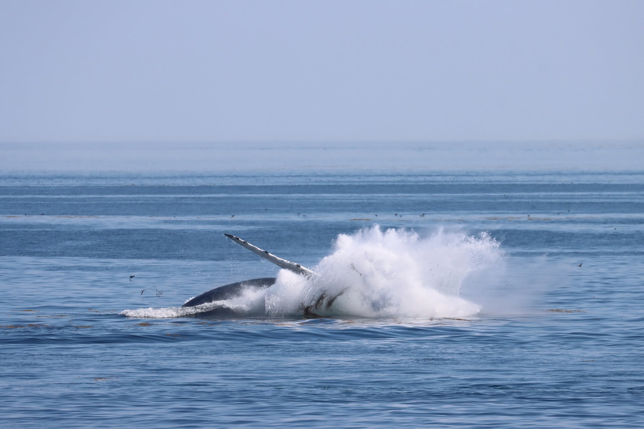
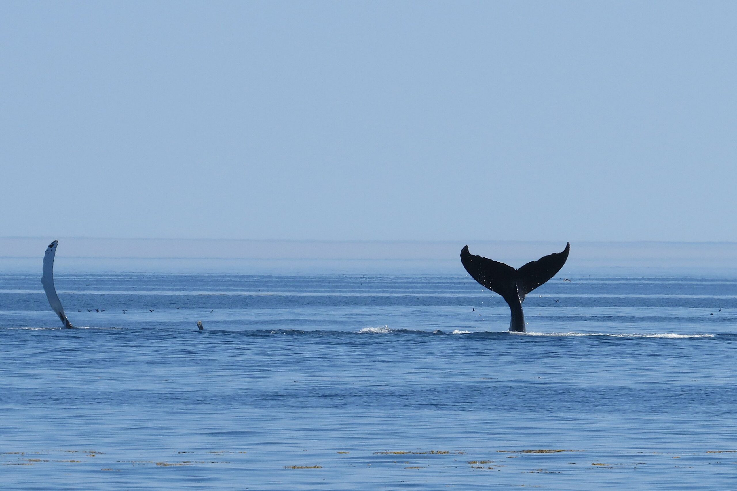
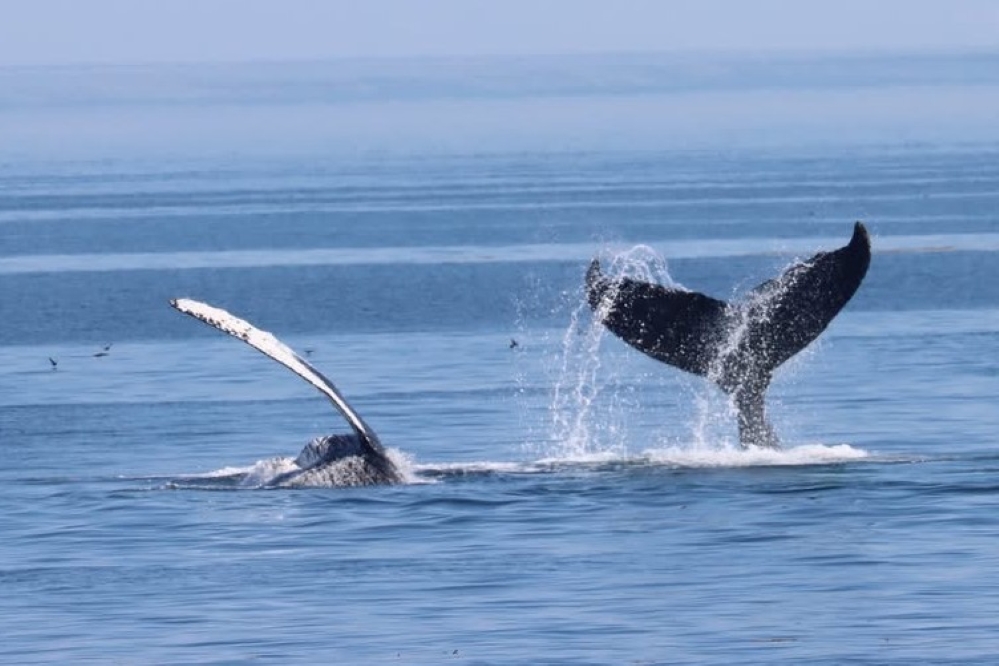
These 2 whales were having fun; one splashing their pectoral fin, the other its tail! (video in link attached below)
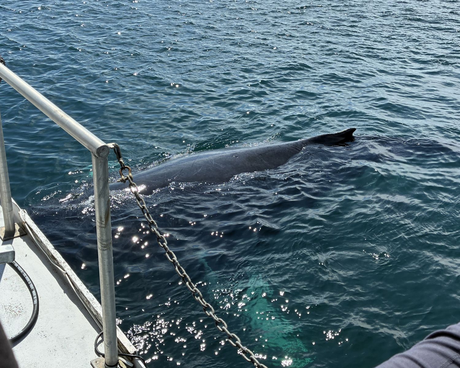
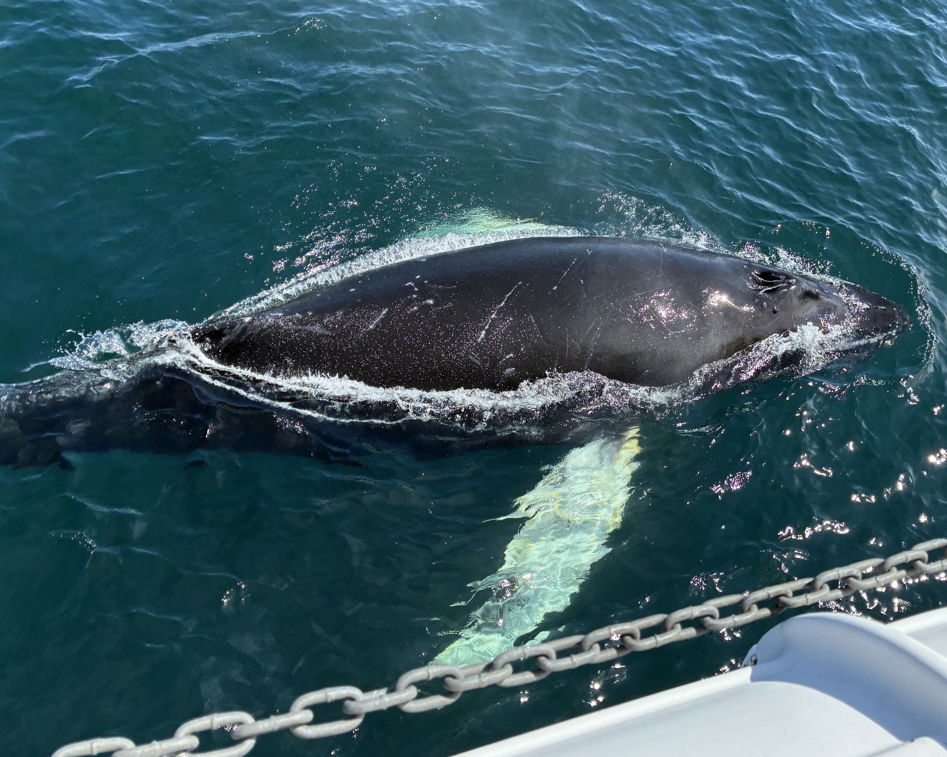
And later, things got really interesting as 2 whales came VERY close to our boat!
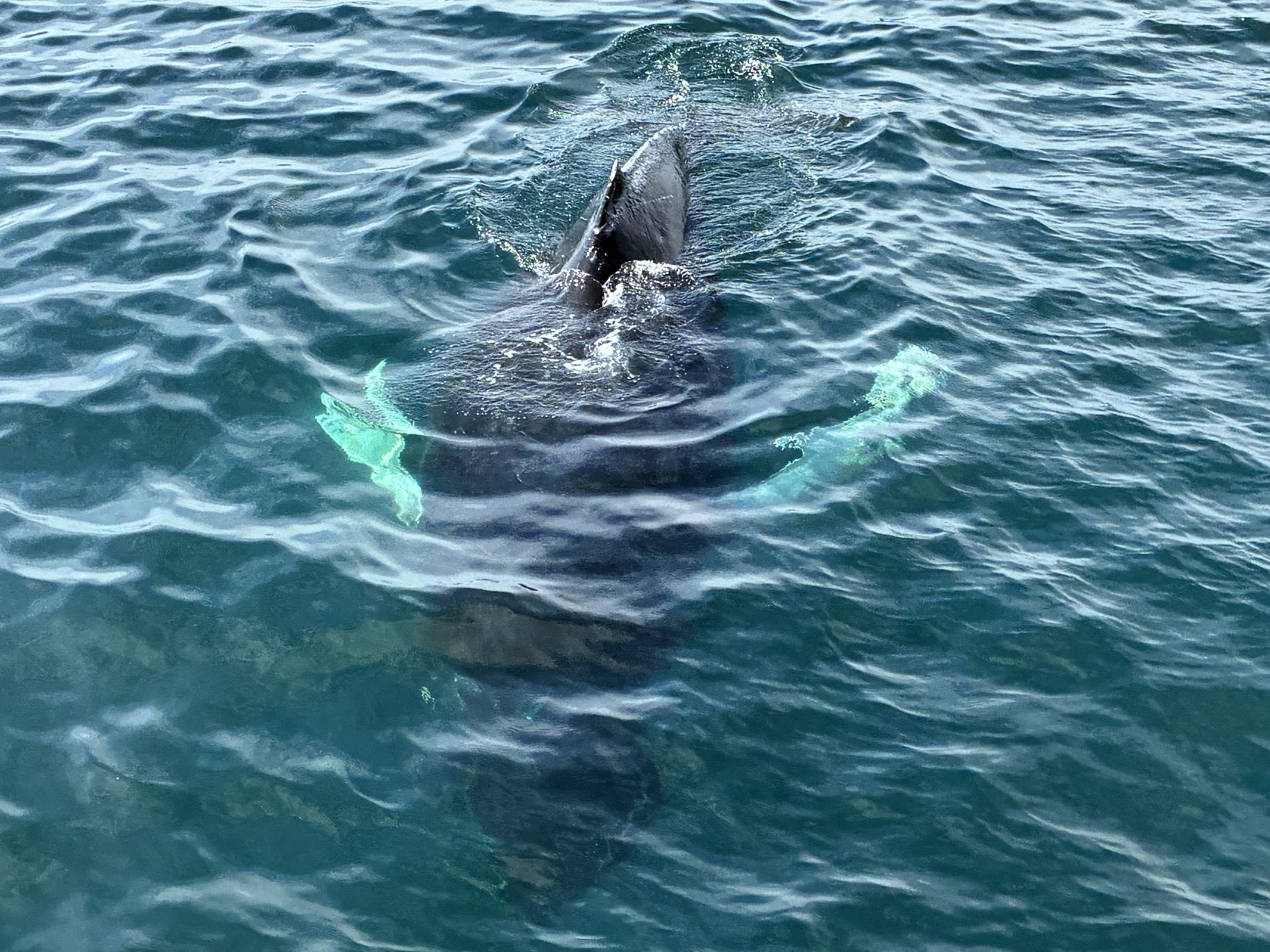
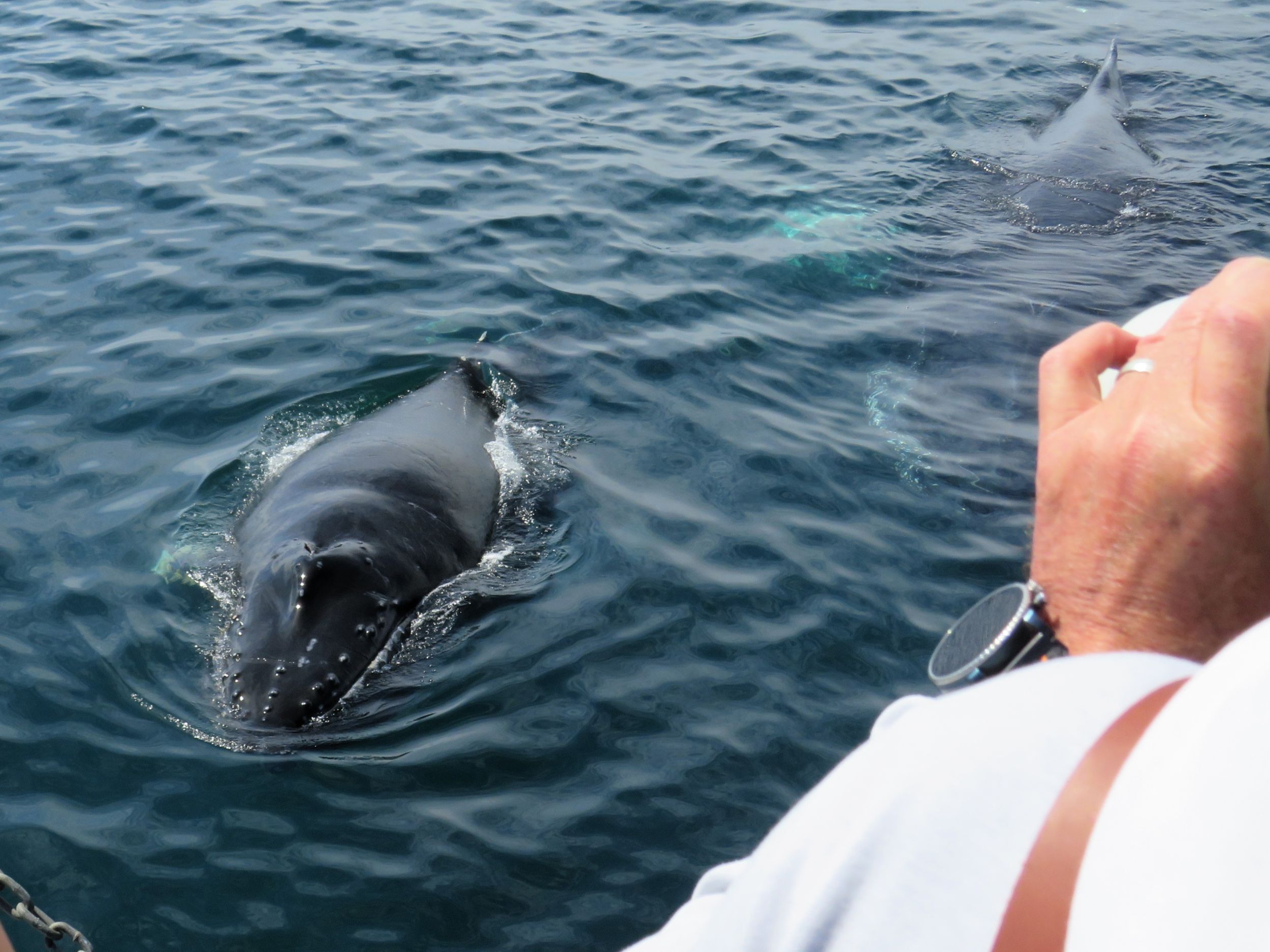
The humpback whale has the longest appendages in the animal kingdom. Their pectoral fins can reach lengths of 16 feet and are one third of their body length. They seem to like to play and splash with them and maybe show us their belly!
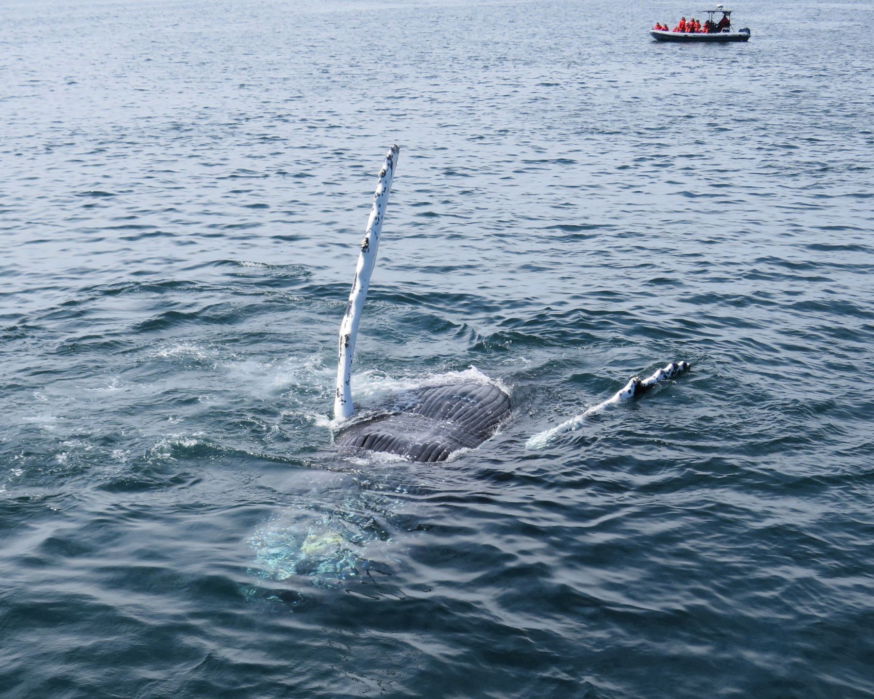
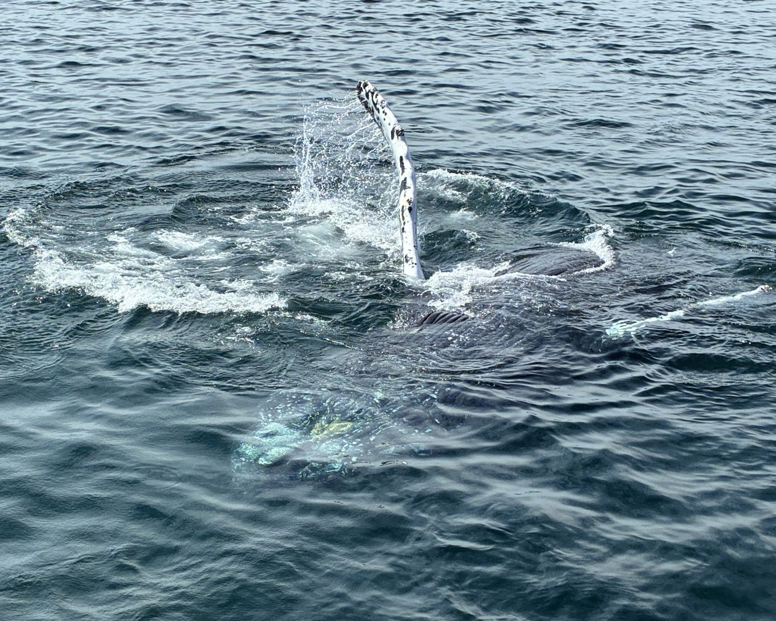
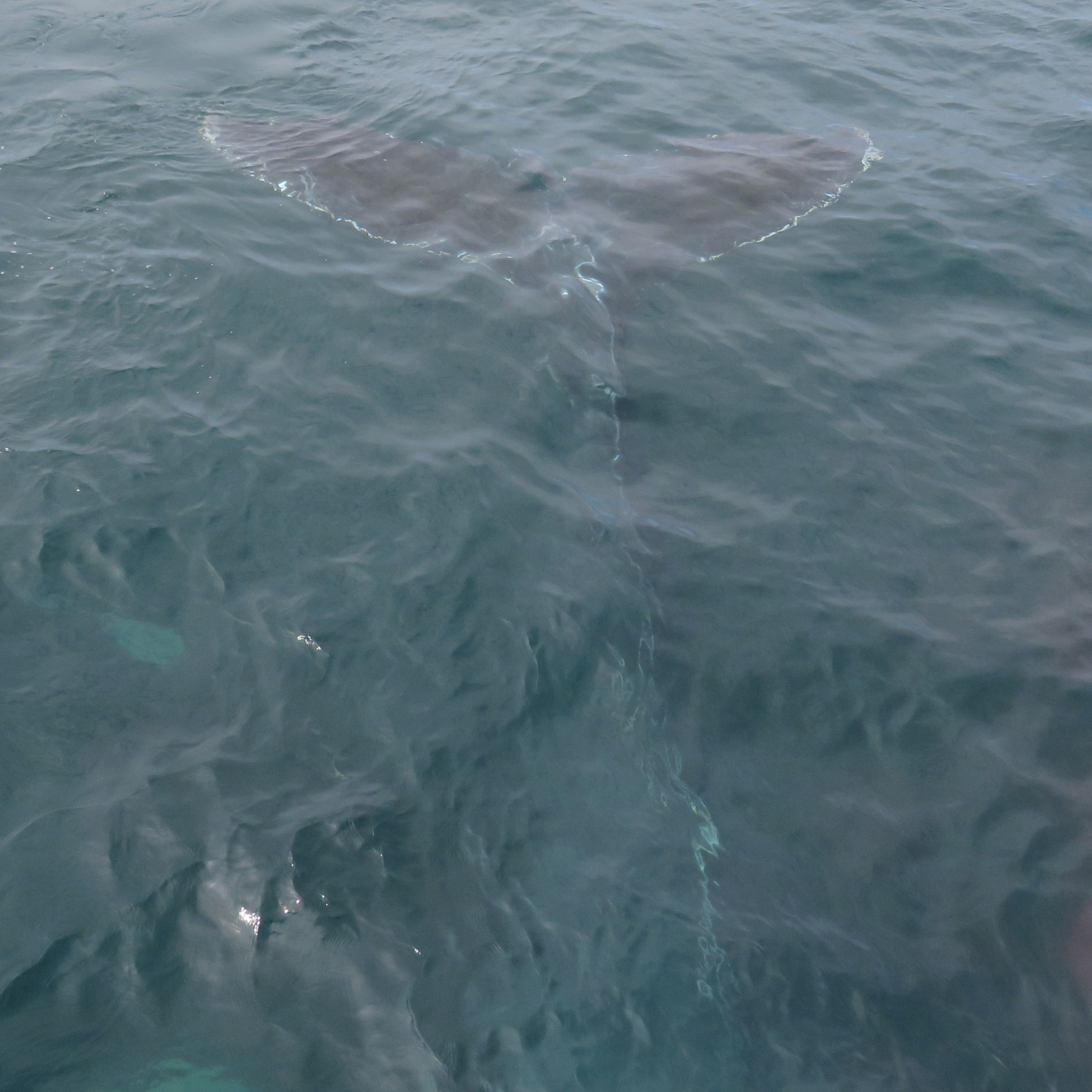
We got a close-up view of the tail and a pectoral fin.
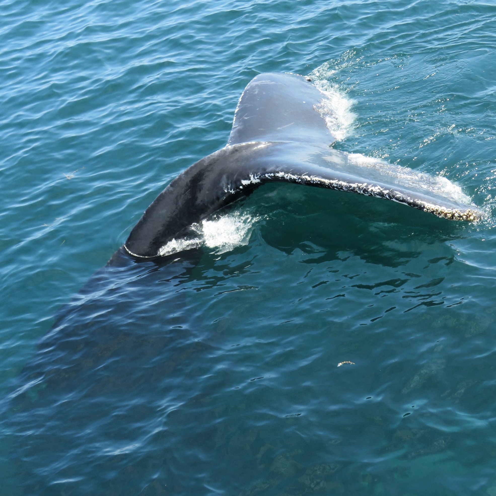
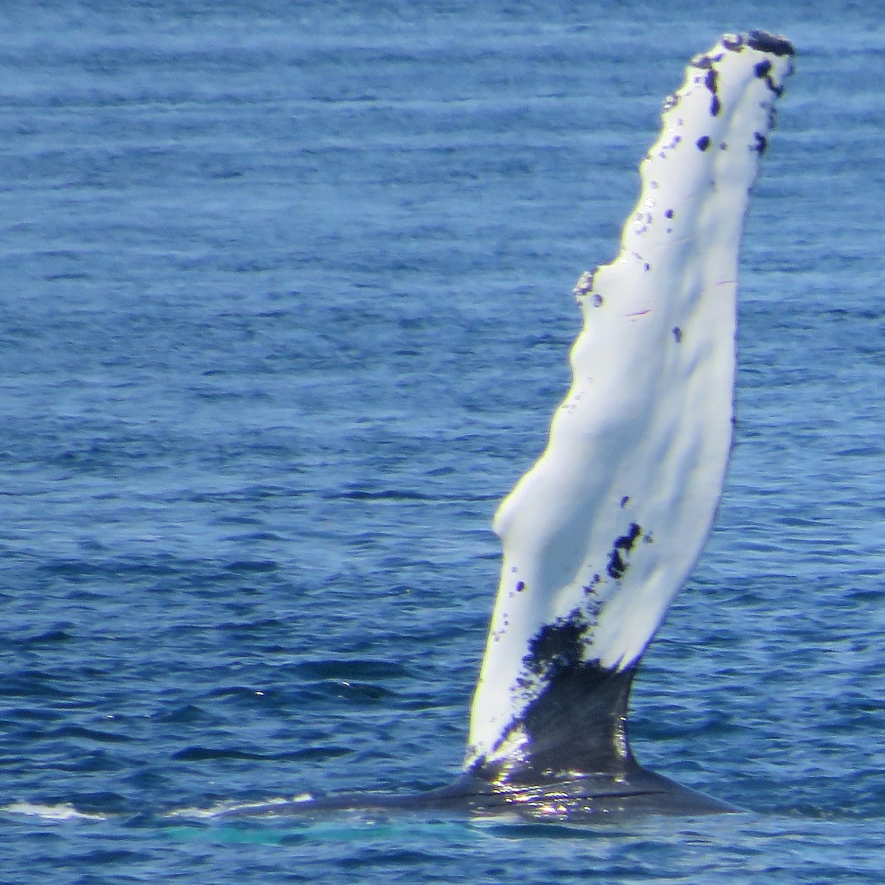
The 2 humpbacks played by our boat for quite a while – it was amazing to see these animals so close by. The researcher told us this was Ridgeline and her calf, and they put on a show!
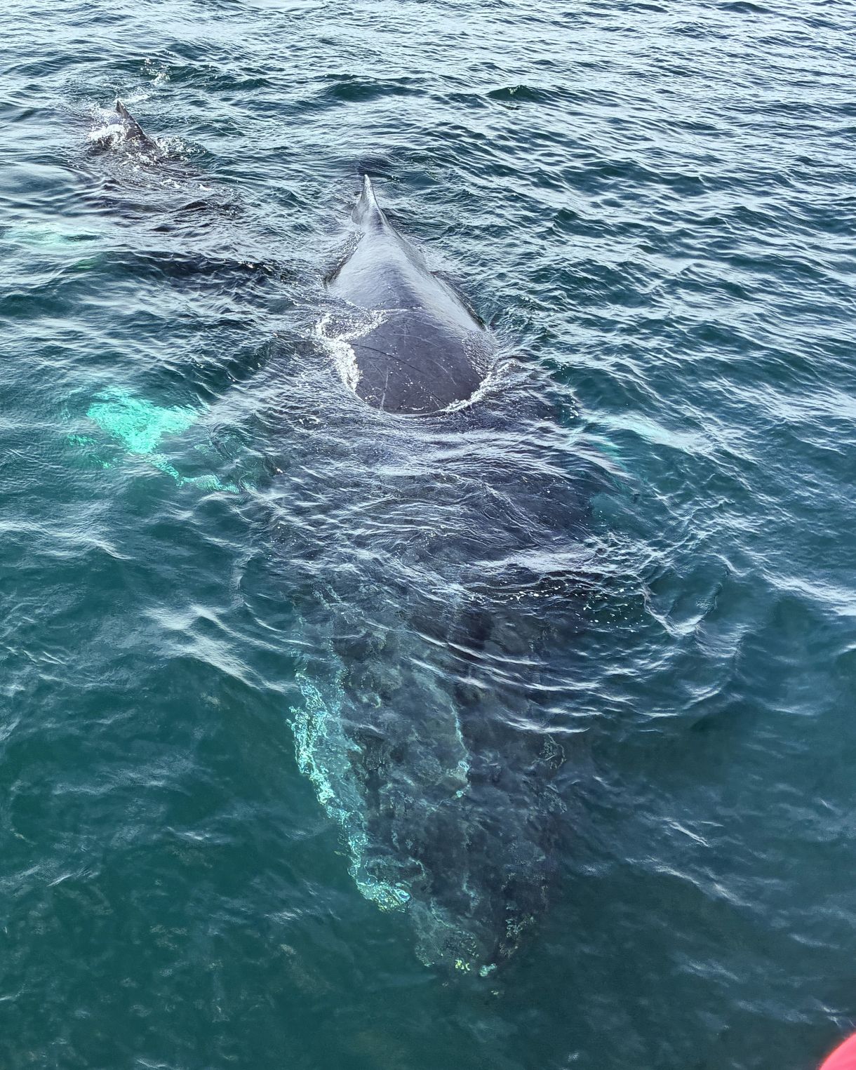
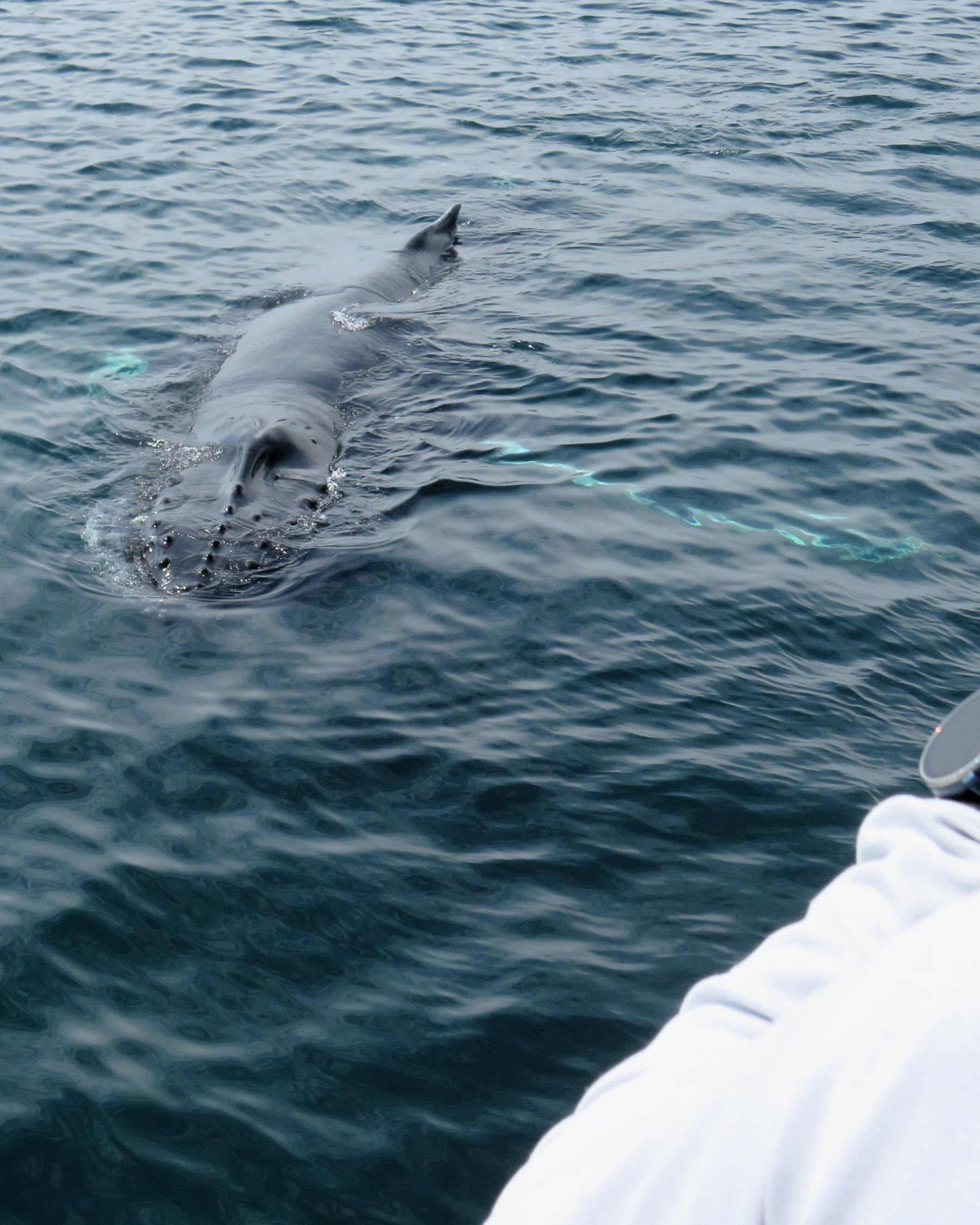
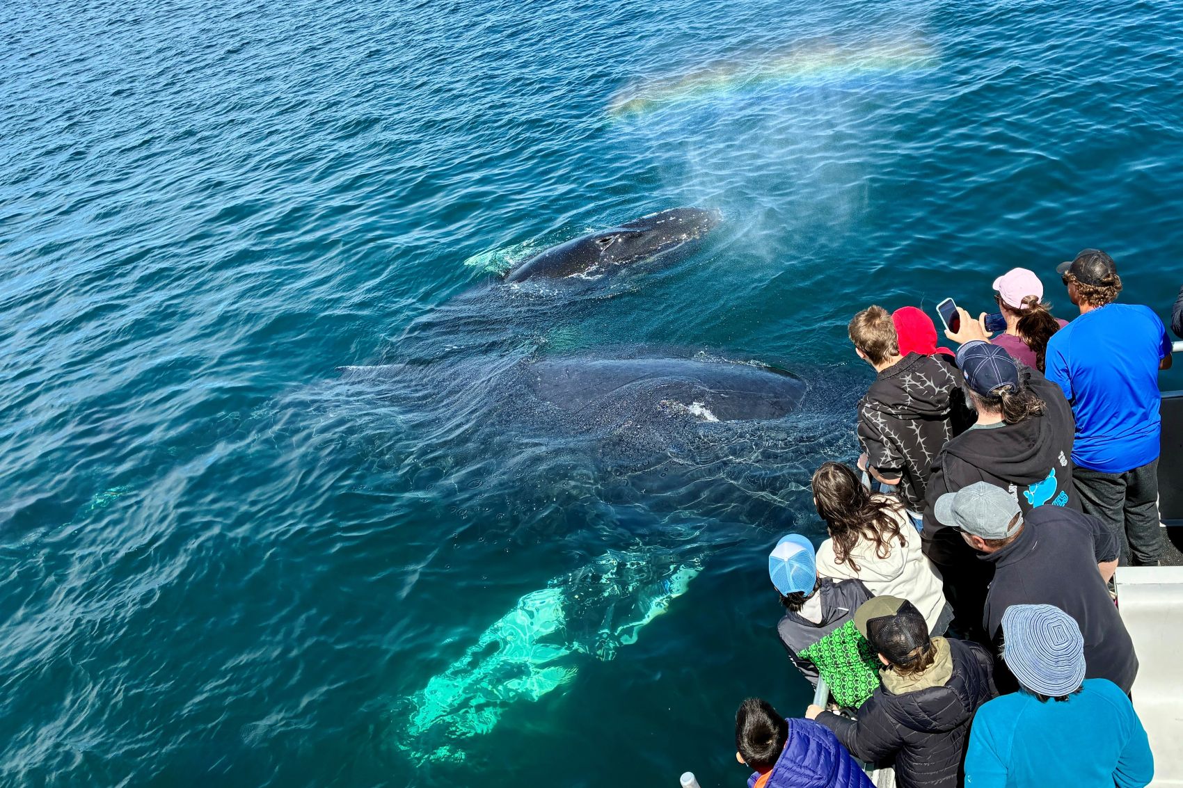
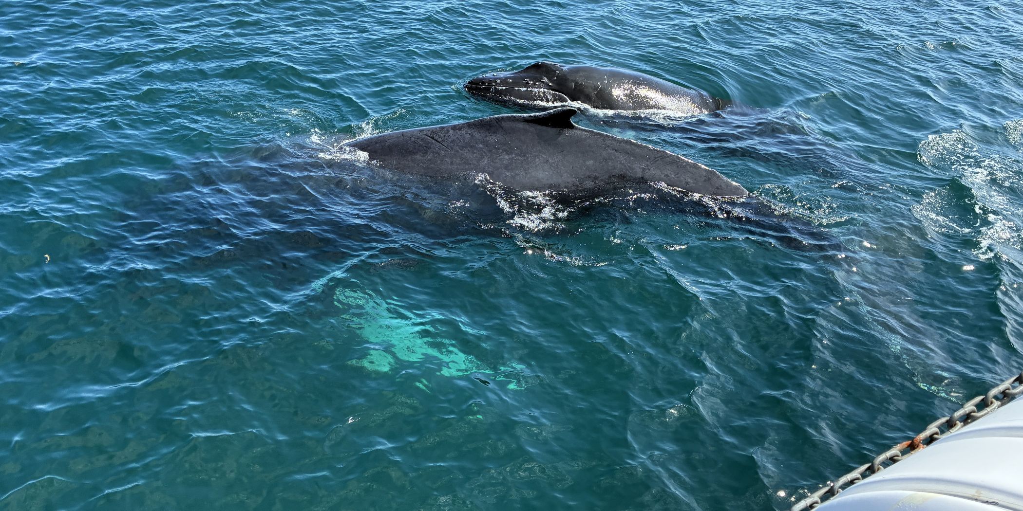
Ridgeline went under our boat, and we could feel a little movement as she apparently rubbed her back on the bottom of the boat!
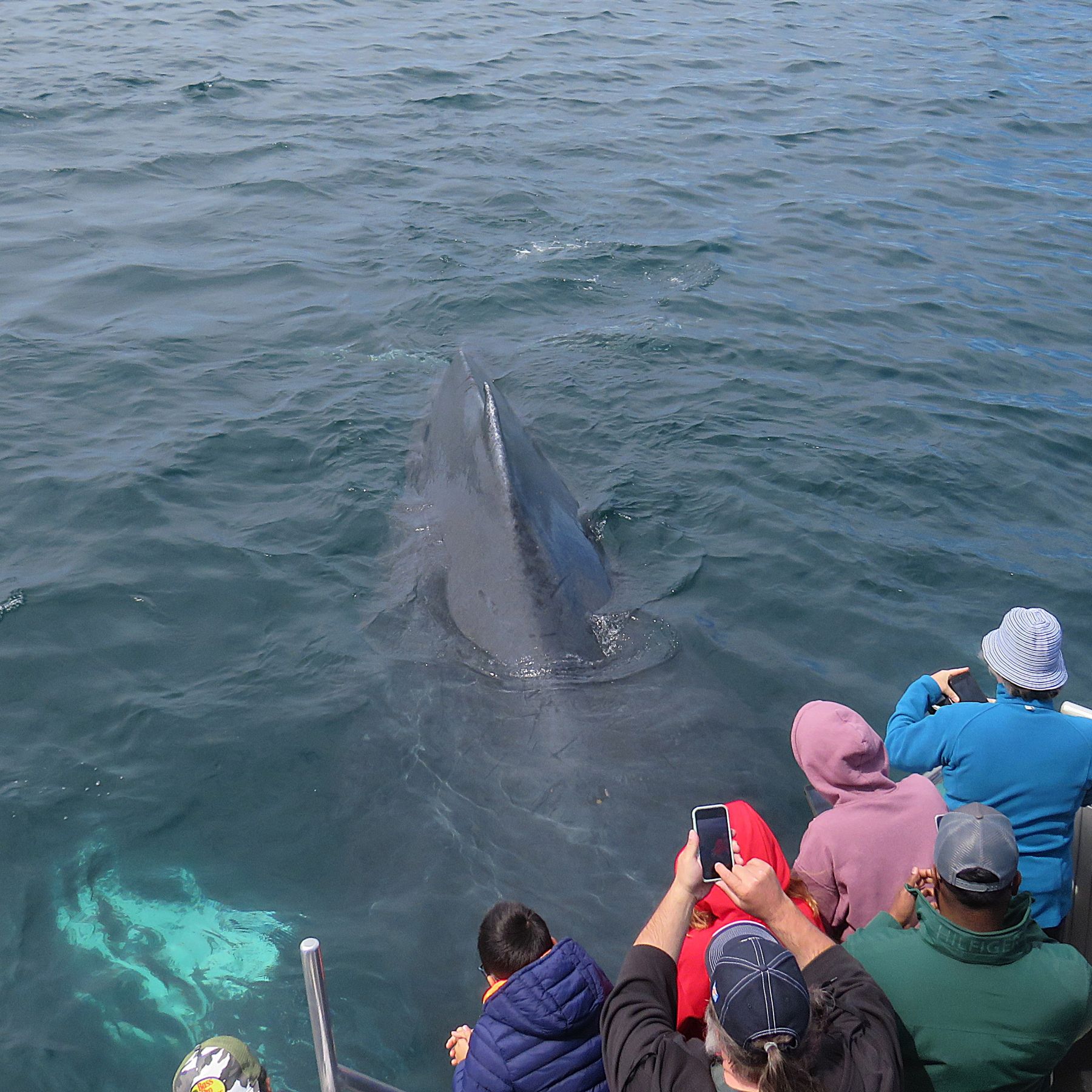
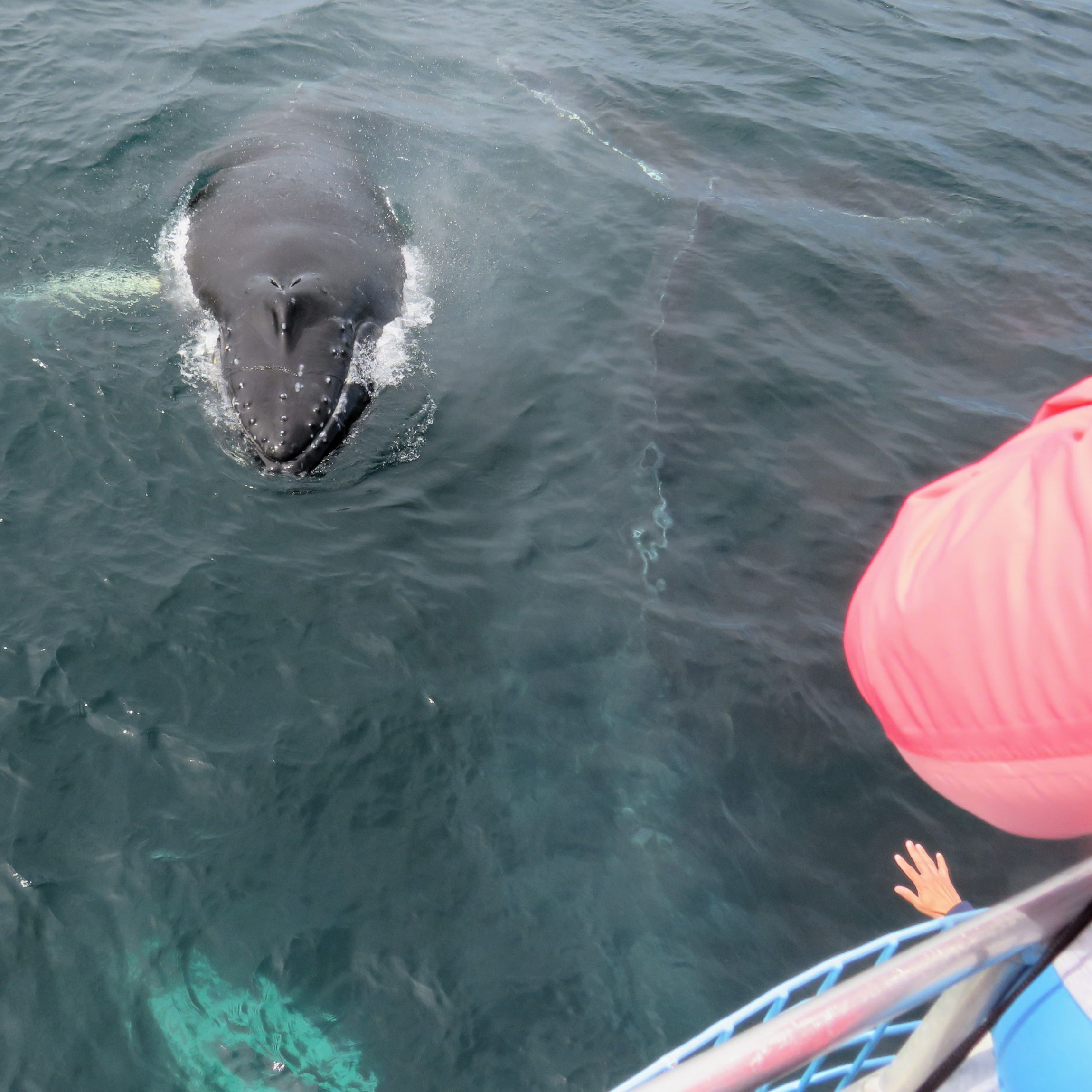
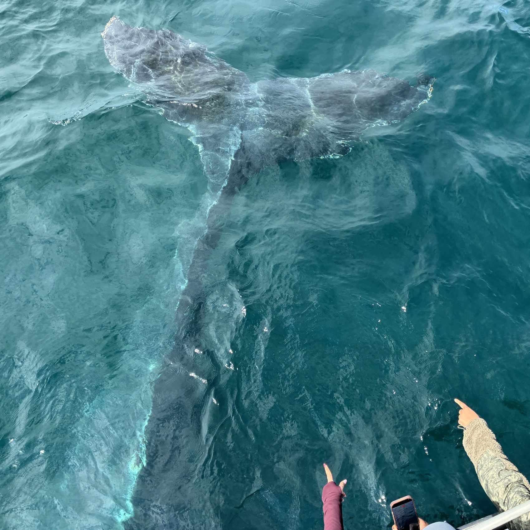
Here is a compilation of some of the videos we took; it runs for about 5 minutes.
Once the whales finally left us, the captain could start the engine and head back to port. – what an amazing over-the-top adventure we had!
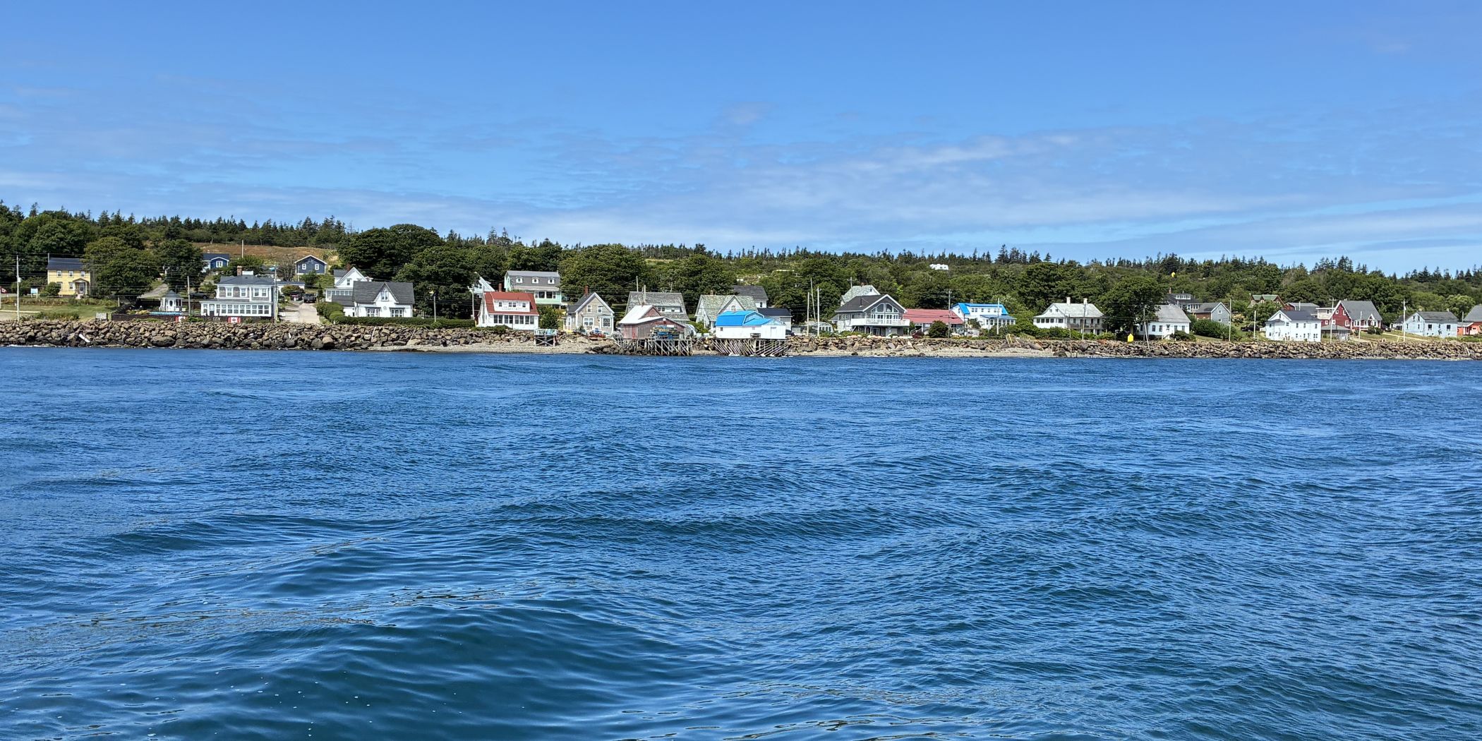
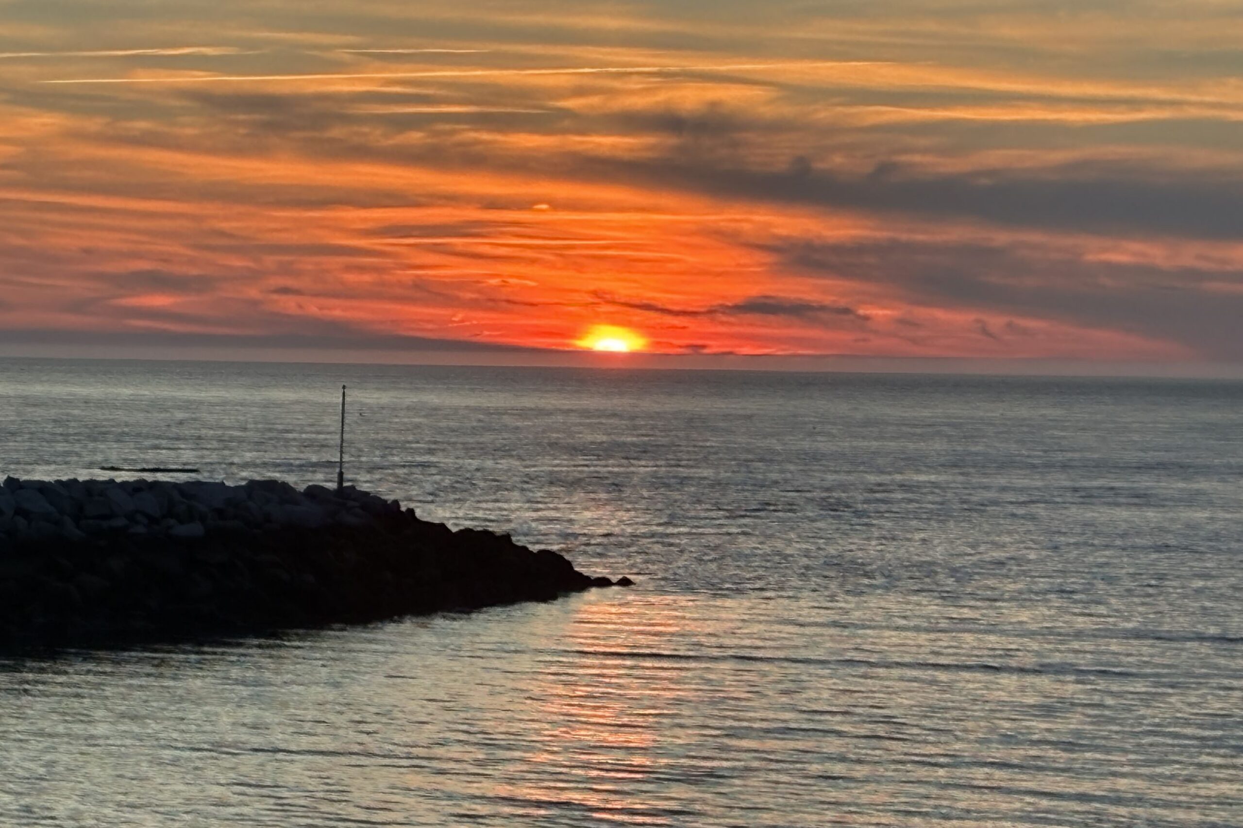
We had lunch on the island and headed back to the ferry to leave Brier Island. And the Lord sent a spectacular sunset to close out a fantastic day!
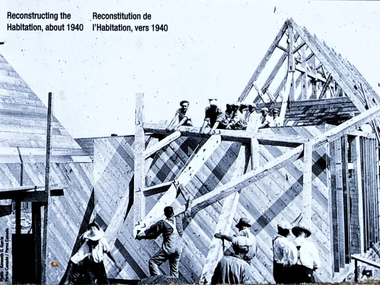
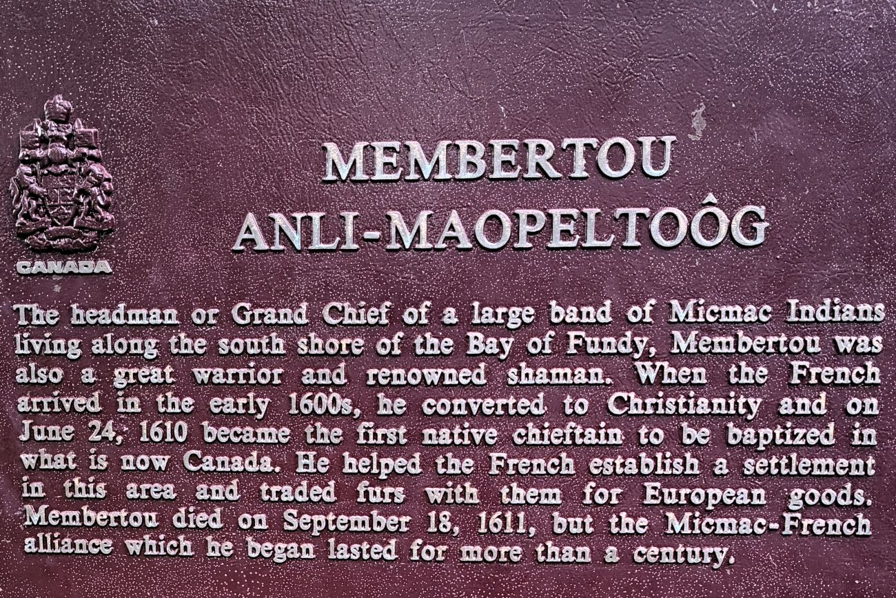
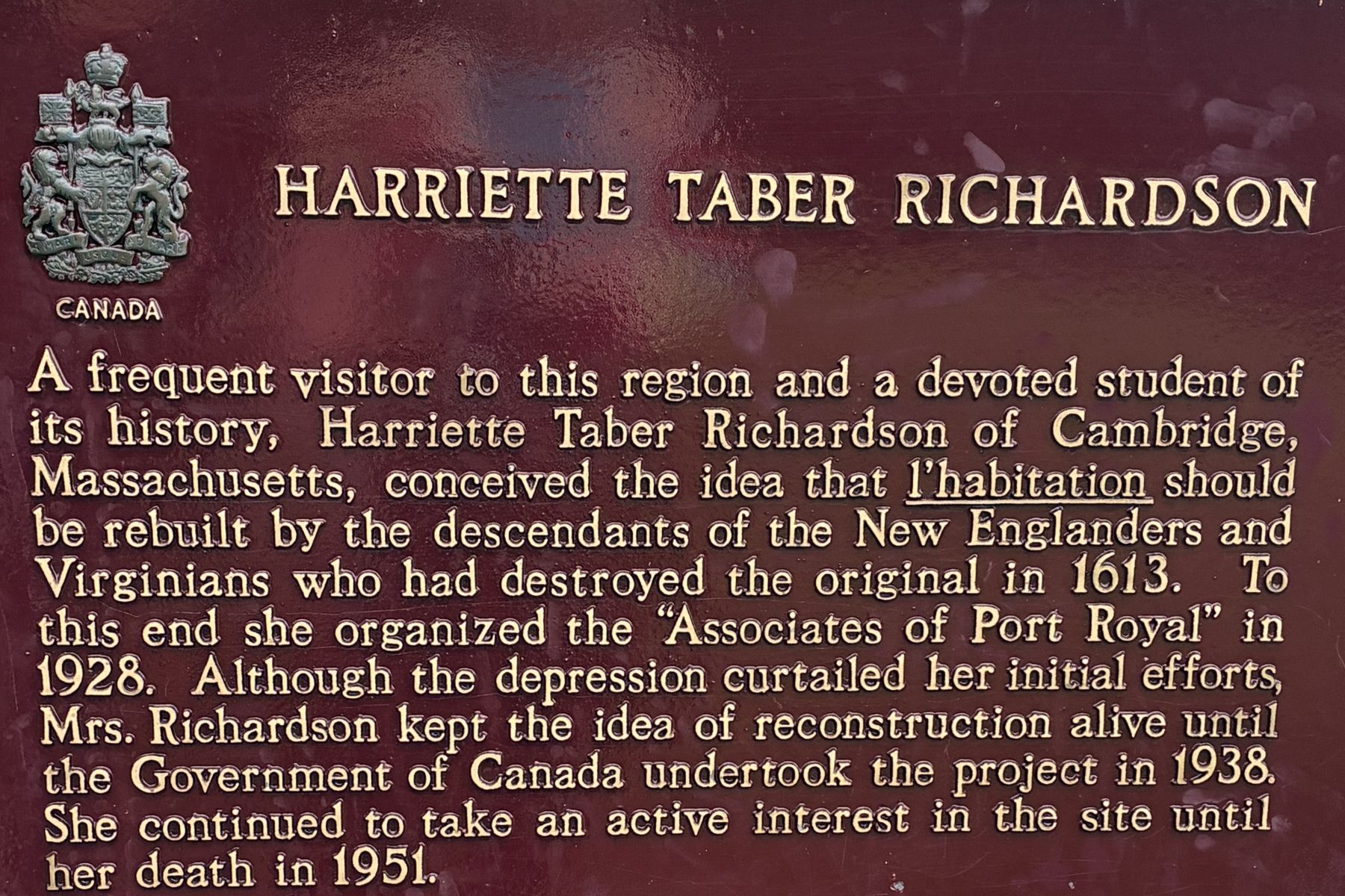
The next day we had a bus tour. The first stop was at the Port Royal Habitation where we had a guided tour of the French colonial settlement that was established in 1605 – one of the earliest French colonies on North America, and one of the most cherished places in Canadian history. It now serves as a living history museum. Here are some signs we saw before our guided tour began.
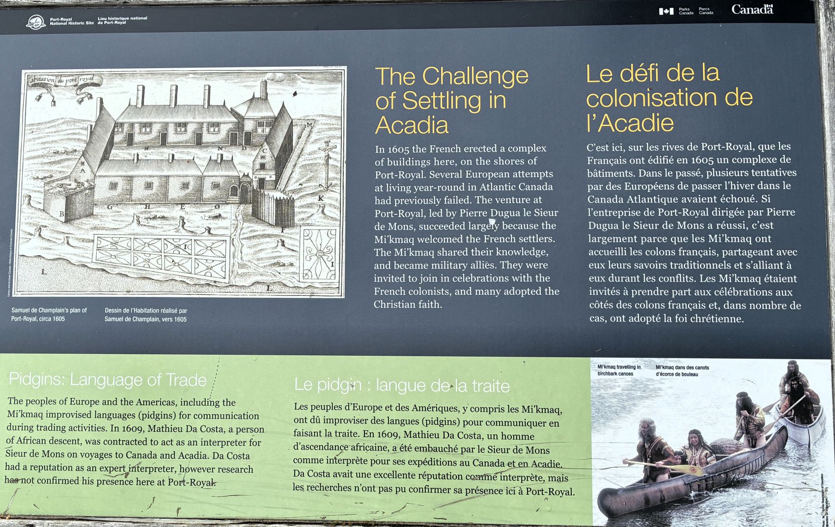
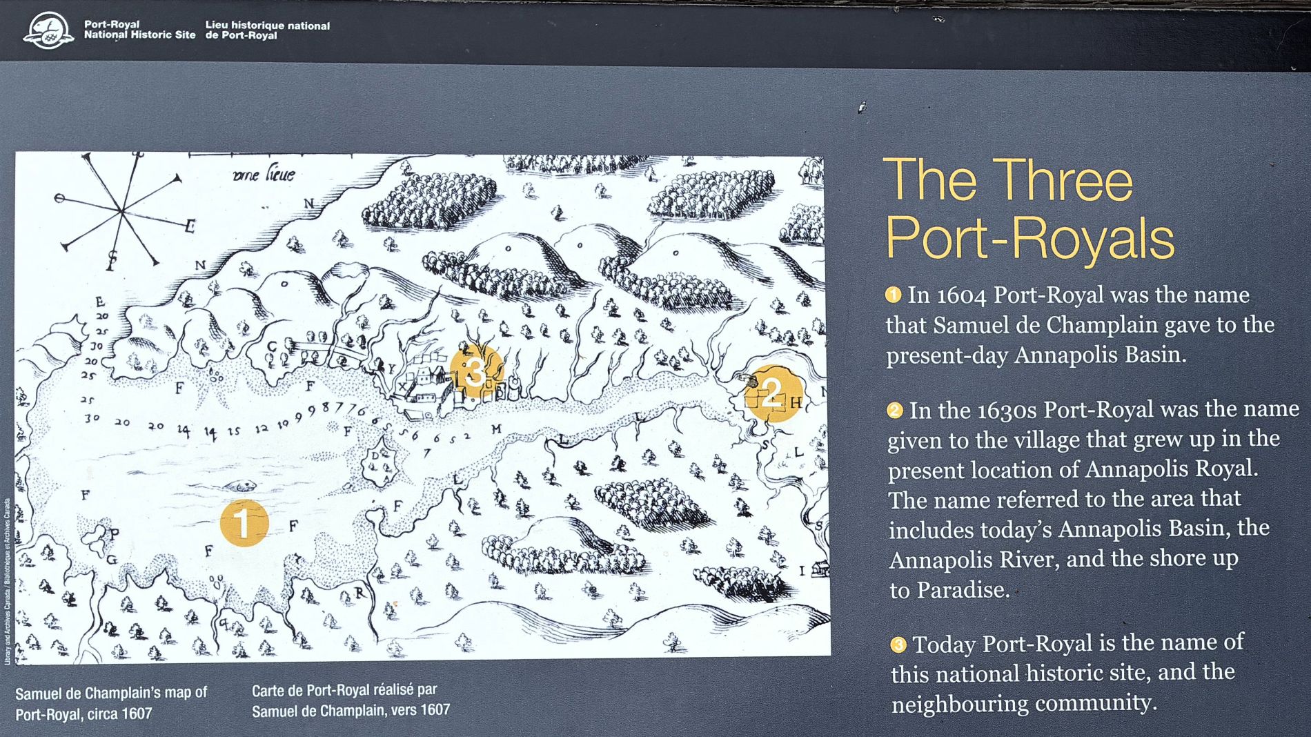
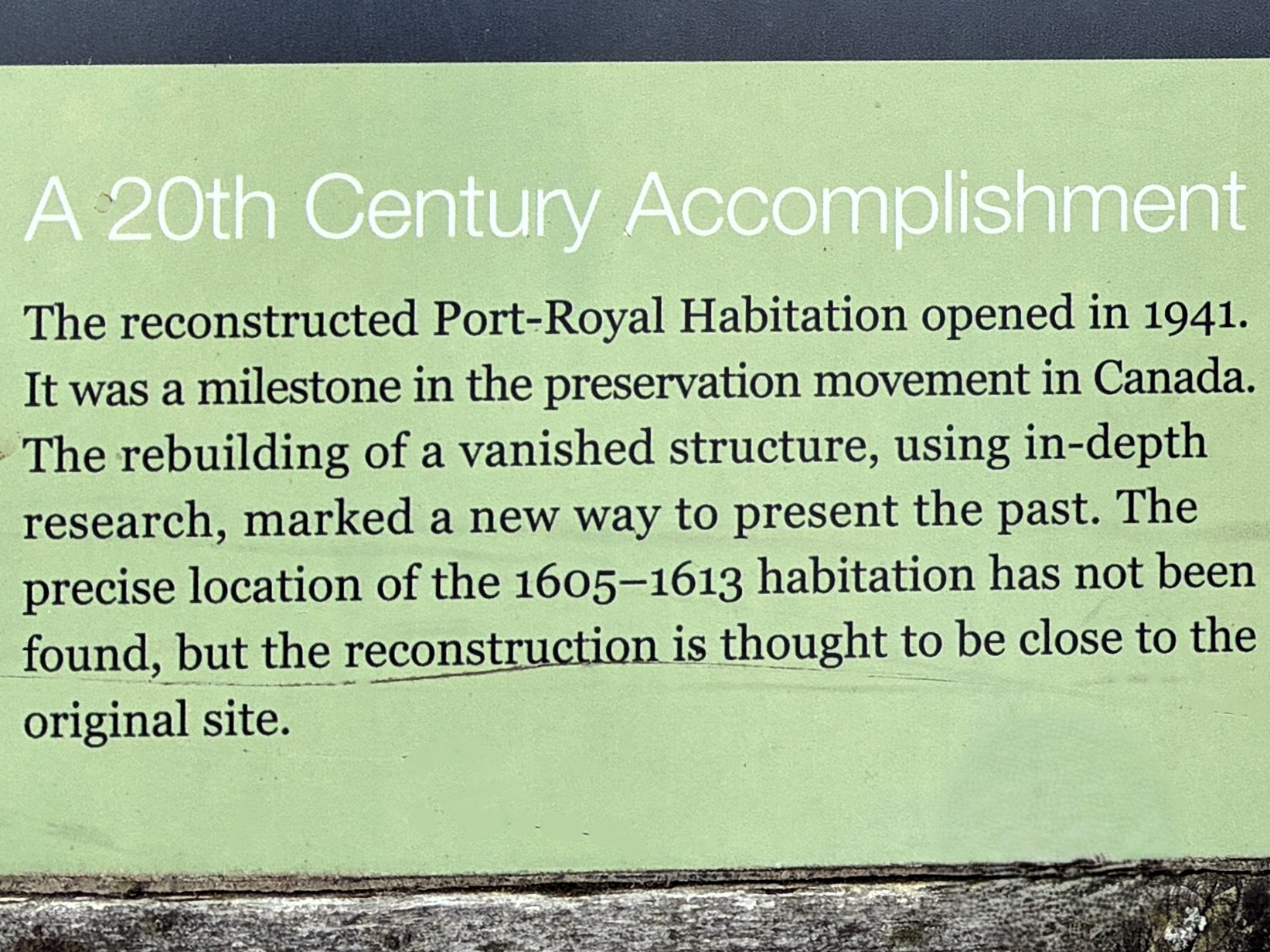
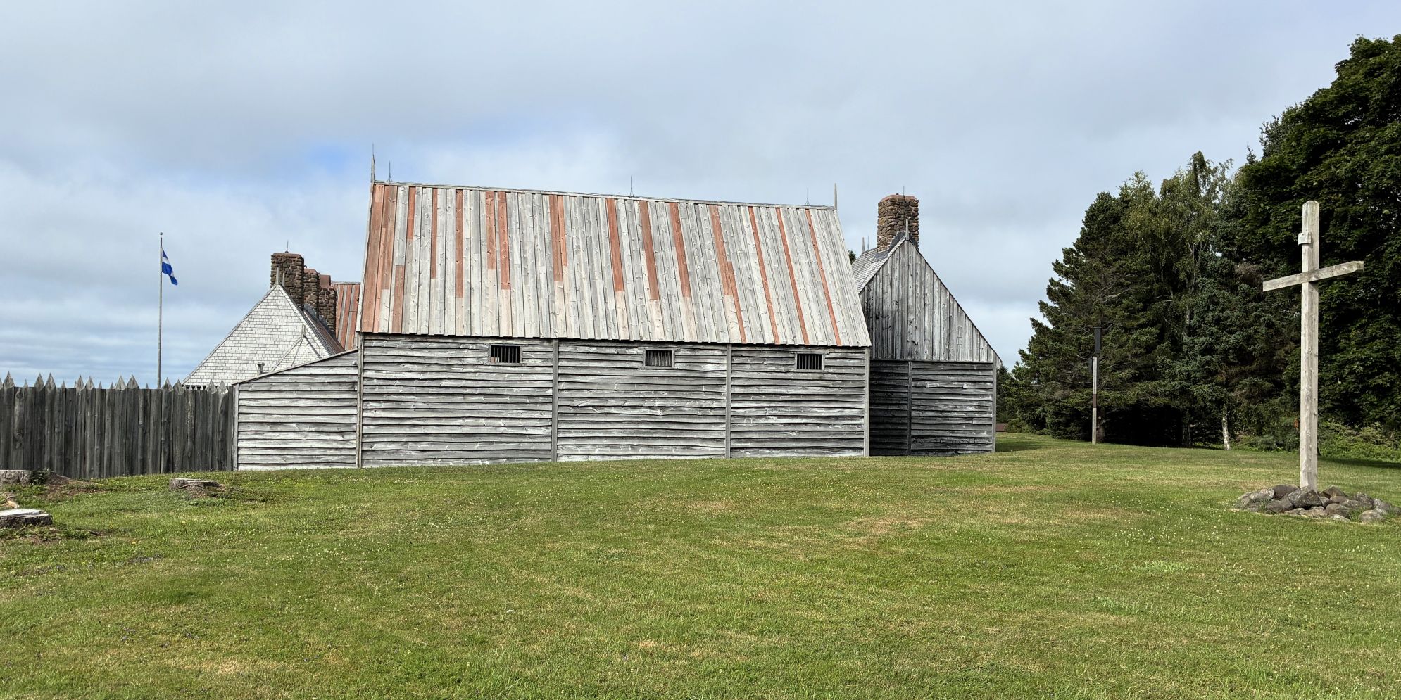
And our tour began! The main function of the colony was fur trade.
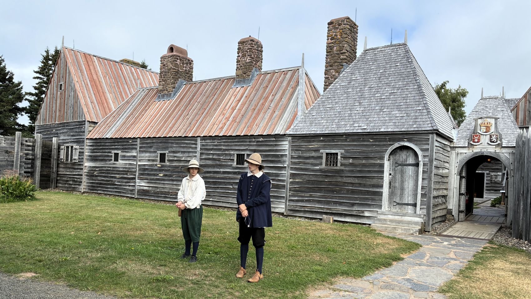
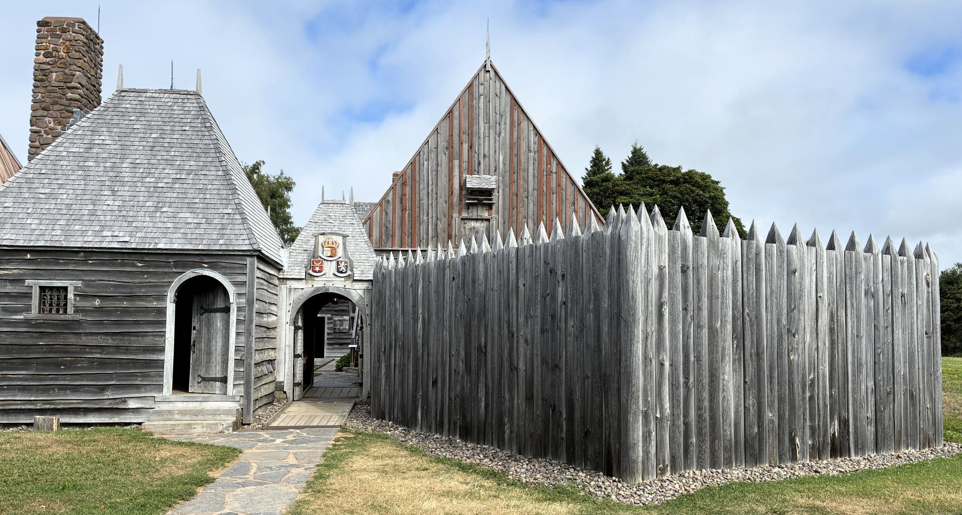
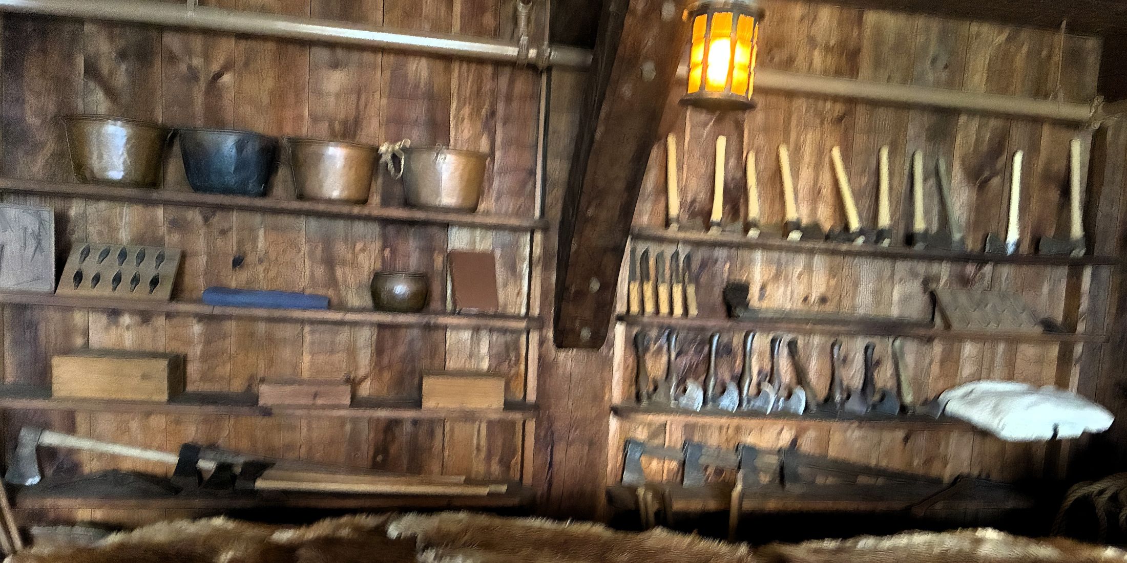
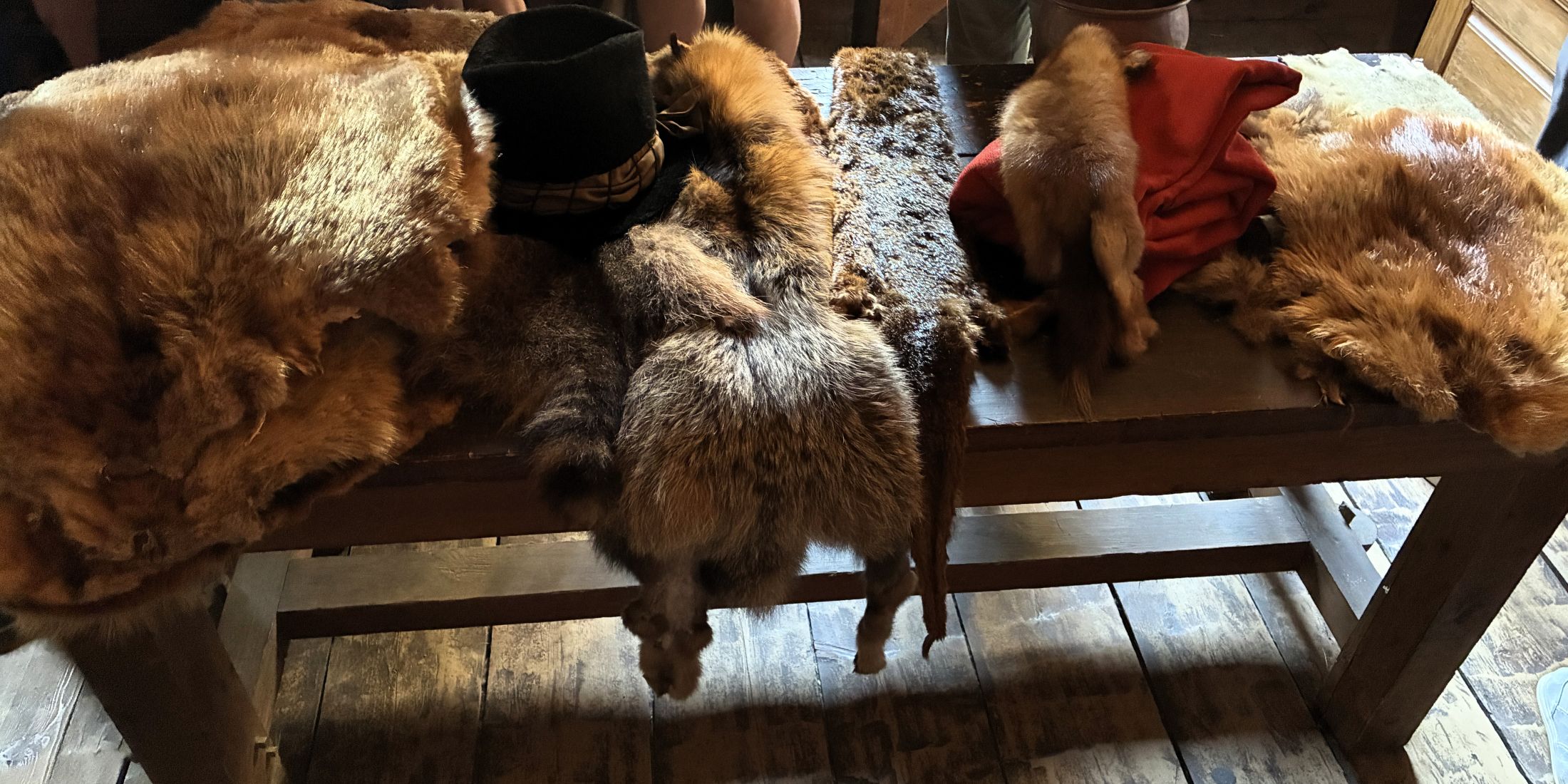
The Mi’kmaq would trade 5-6 beaver pelts for iron or steel axes. They also wanted linens and wool, especially in bright colors, and copper and iron pots as well. Beaver hats were all the rage in Europe but there were no beavers left there! Other animal pelts were traded for; otter weasel, fox and rabbit. Apparently rabbit pelts needed mercury to form into shape; thus the term “mad hatter”!
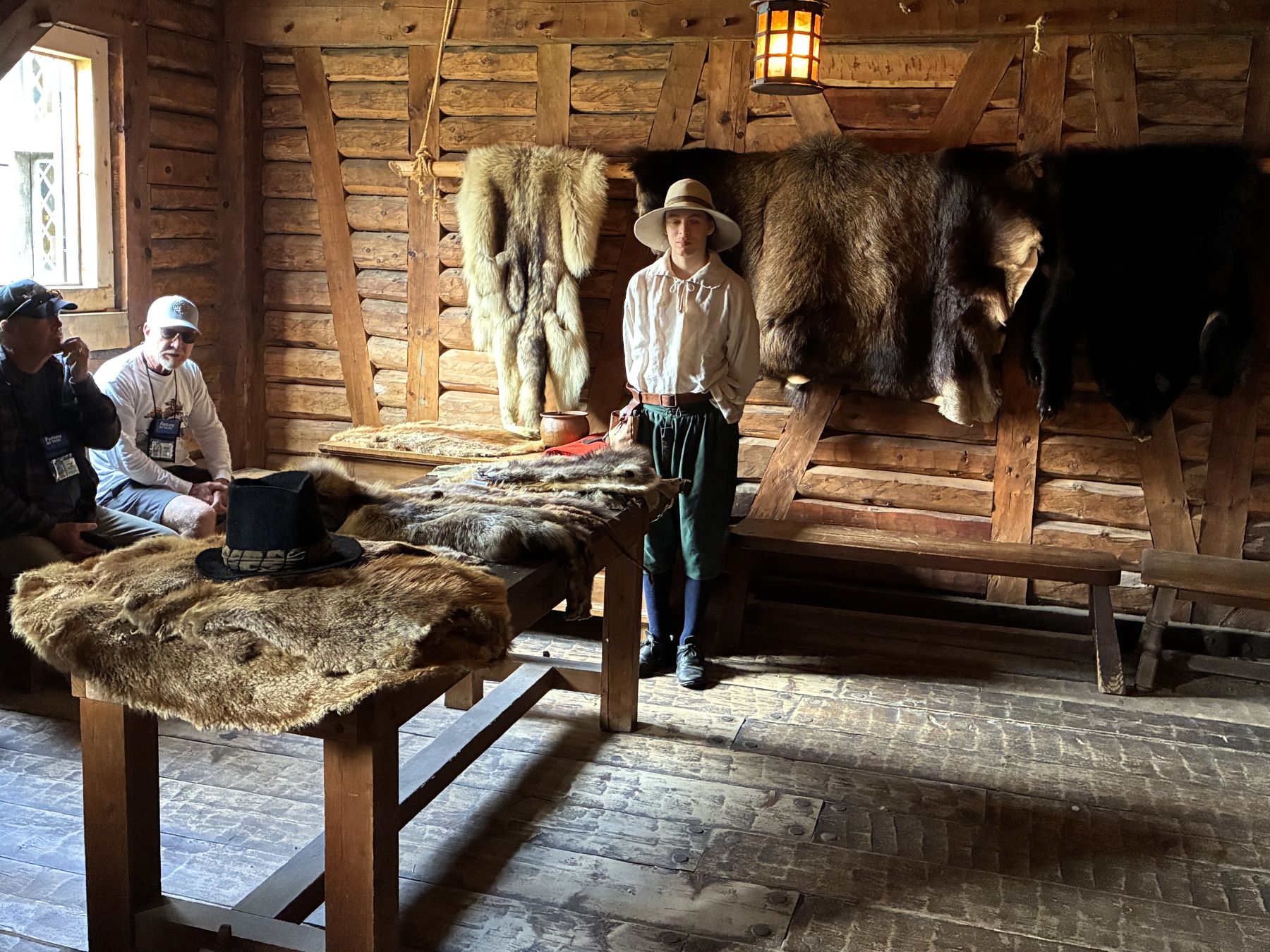
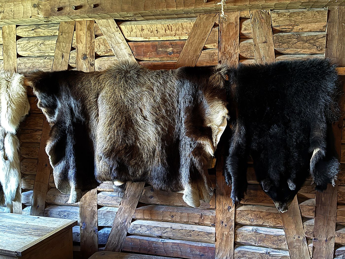
Beaver hats were very prized and would be willed and handed down! It took 5-7 pelts to make one hat.
Only men lived at Port Royal and for 3-6 months at a time. It was called “Port Royal” because it was thought the entire French Navy could be put at the port. Life in the colony could be tedious, and the Order of Good Cheer was established to “keep our table joyous and well provided.” Prominent members of the colony took turns providing food for a banquet and arranging entertainment.
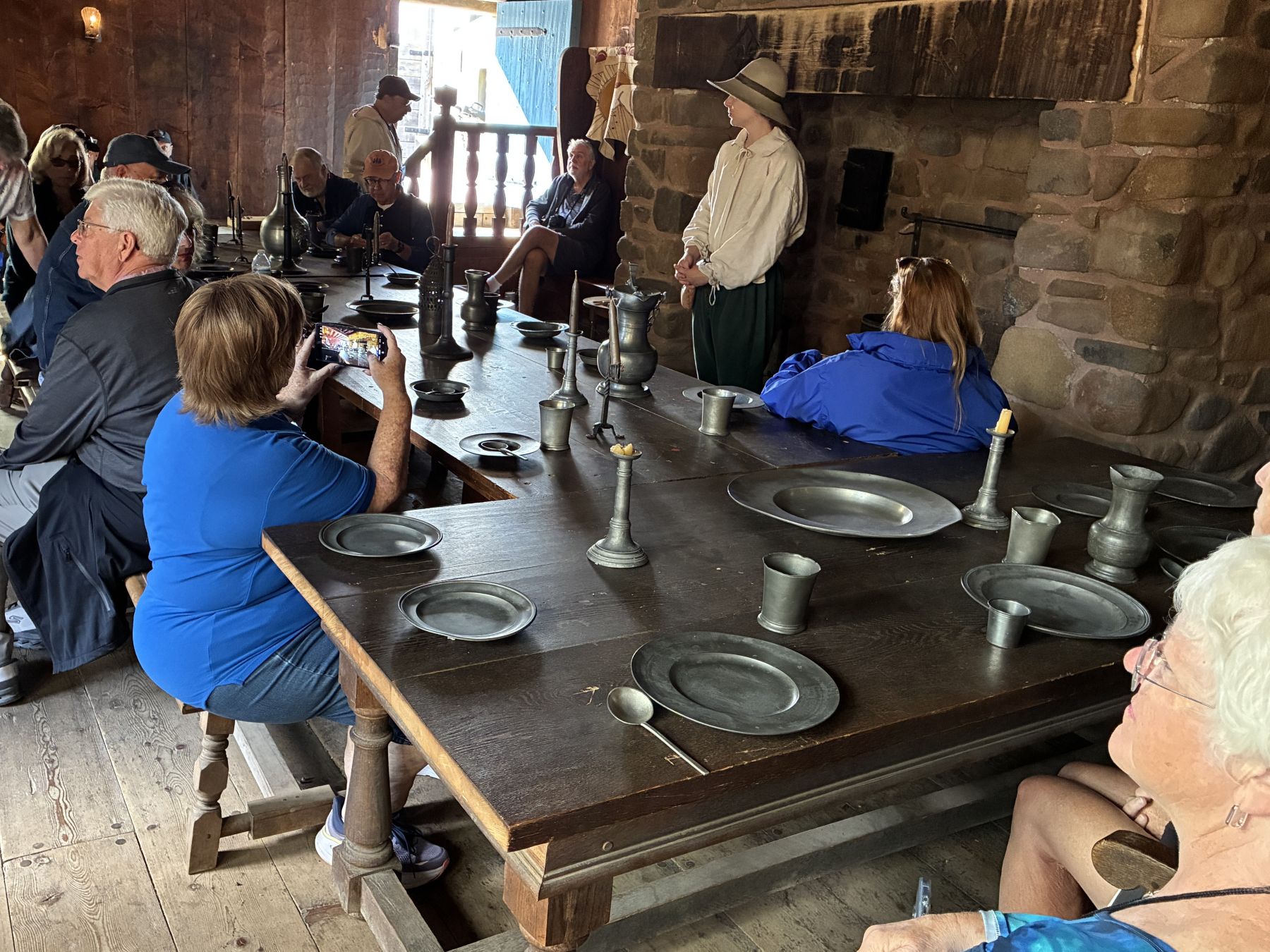
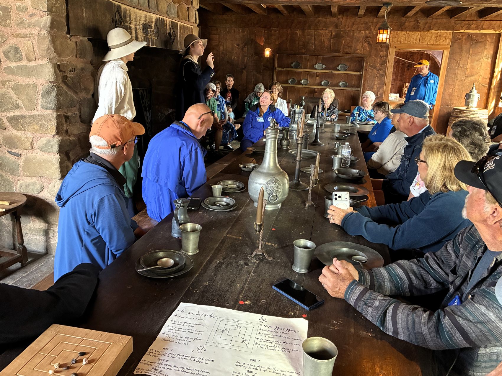
We had time to explore the different areas in the habitation on our own.
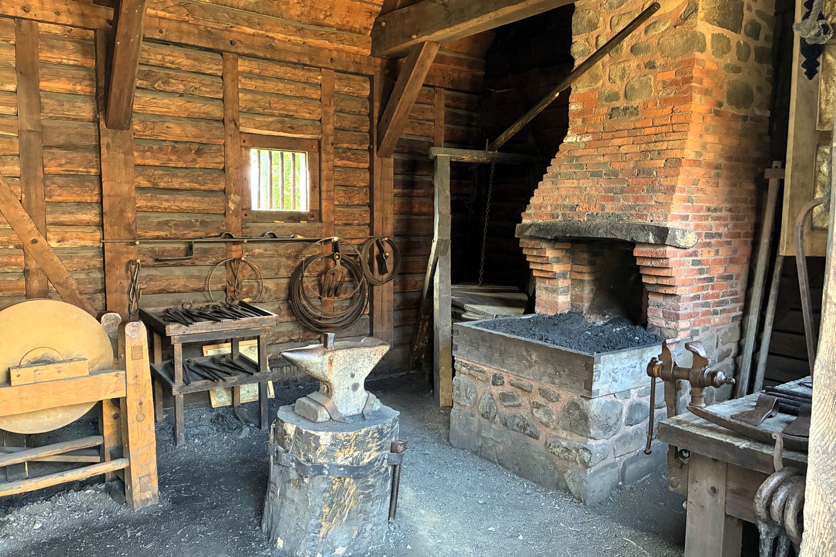
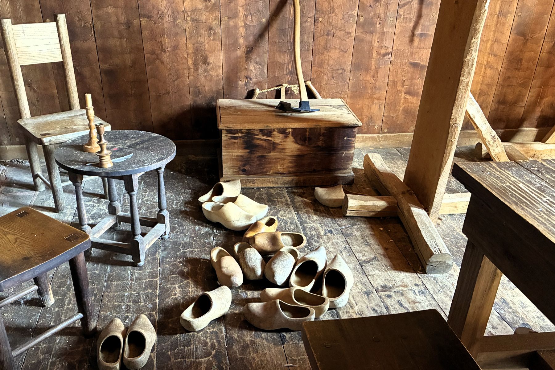
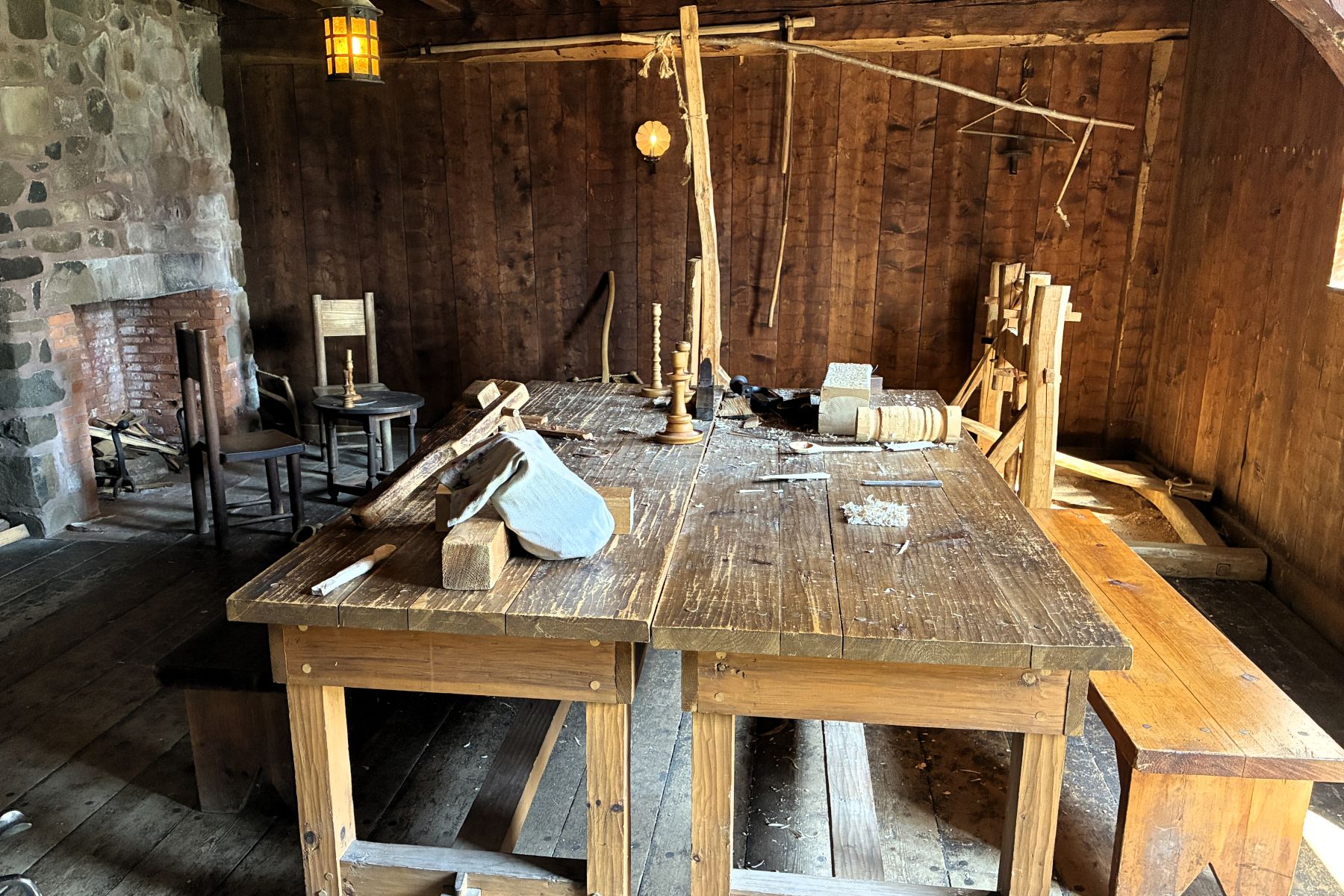
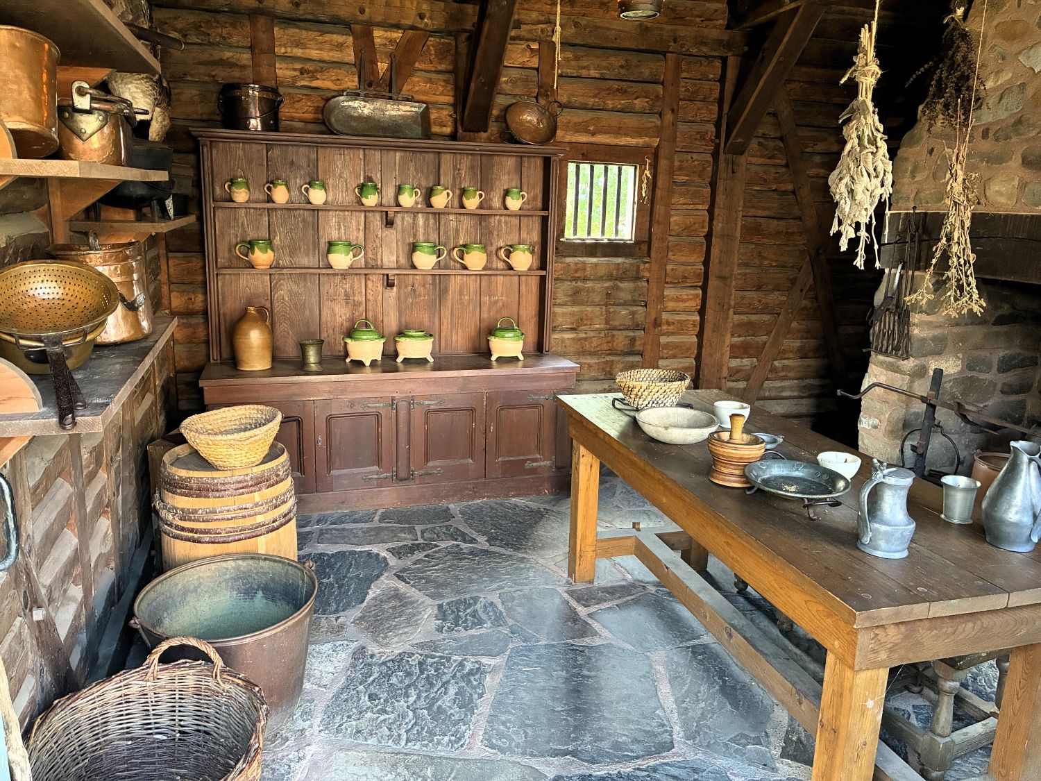
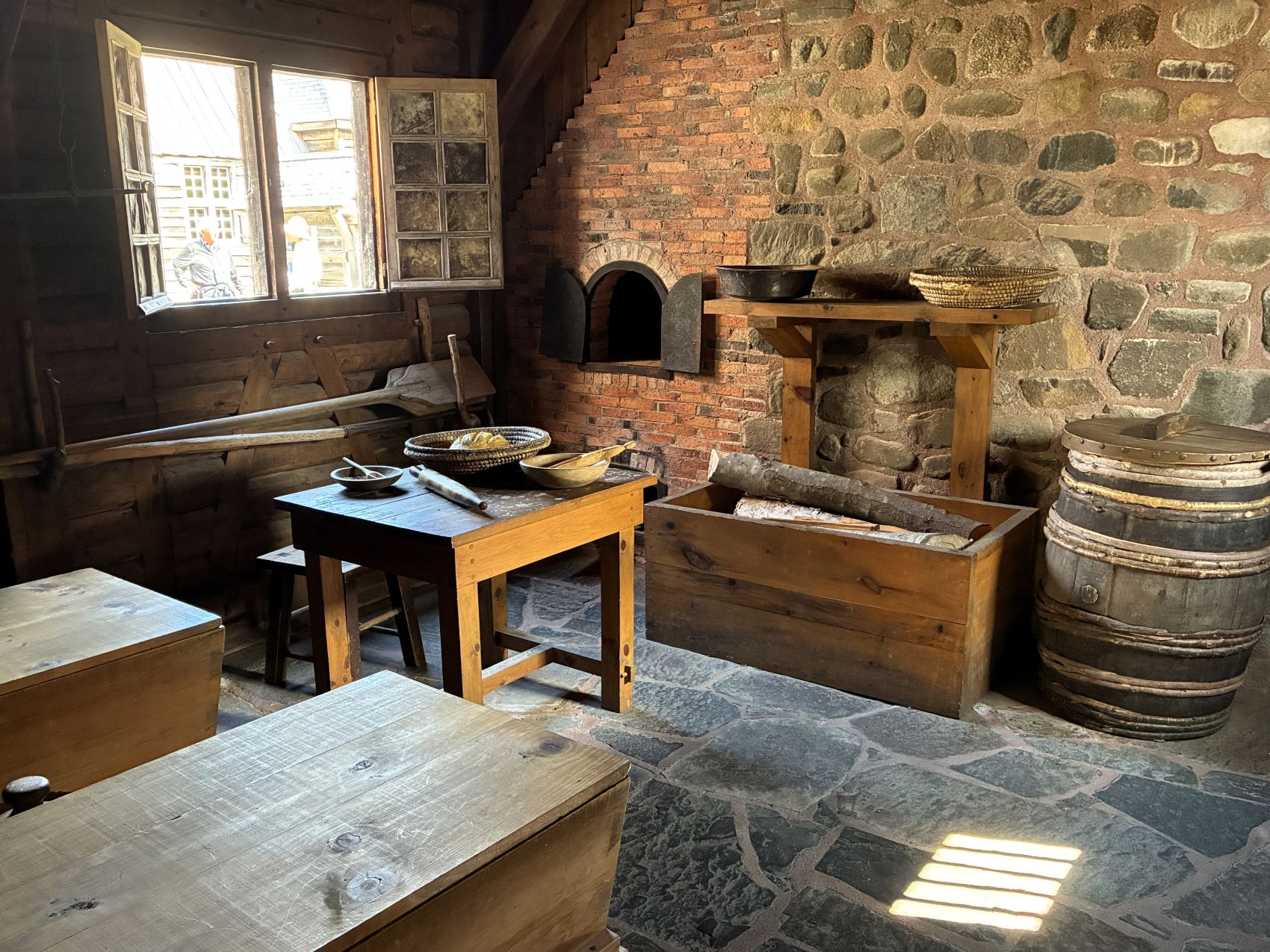
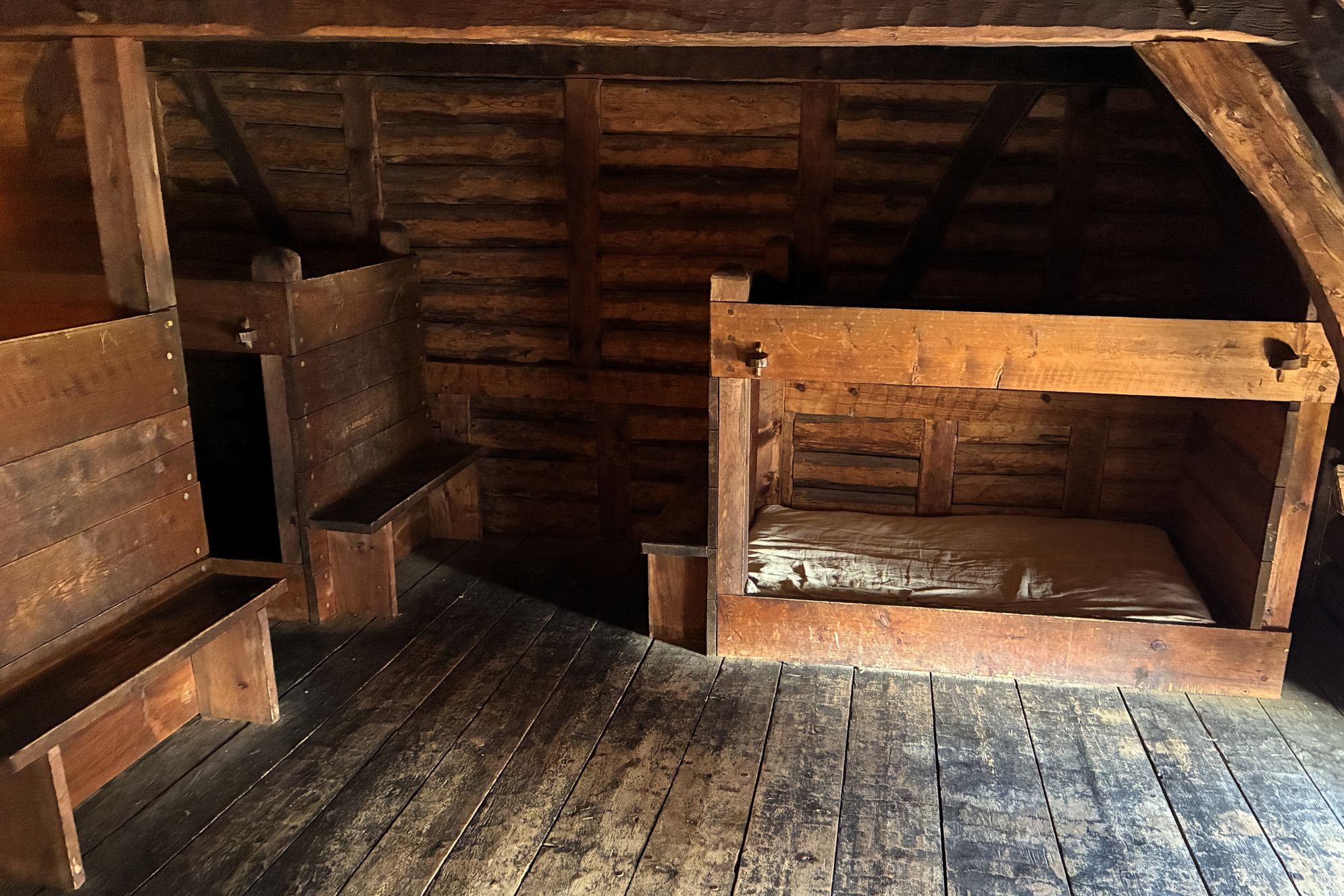
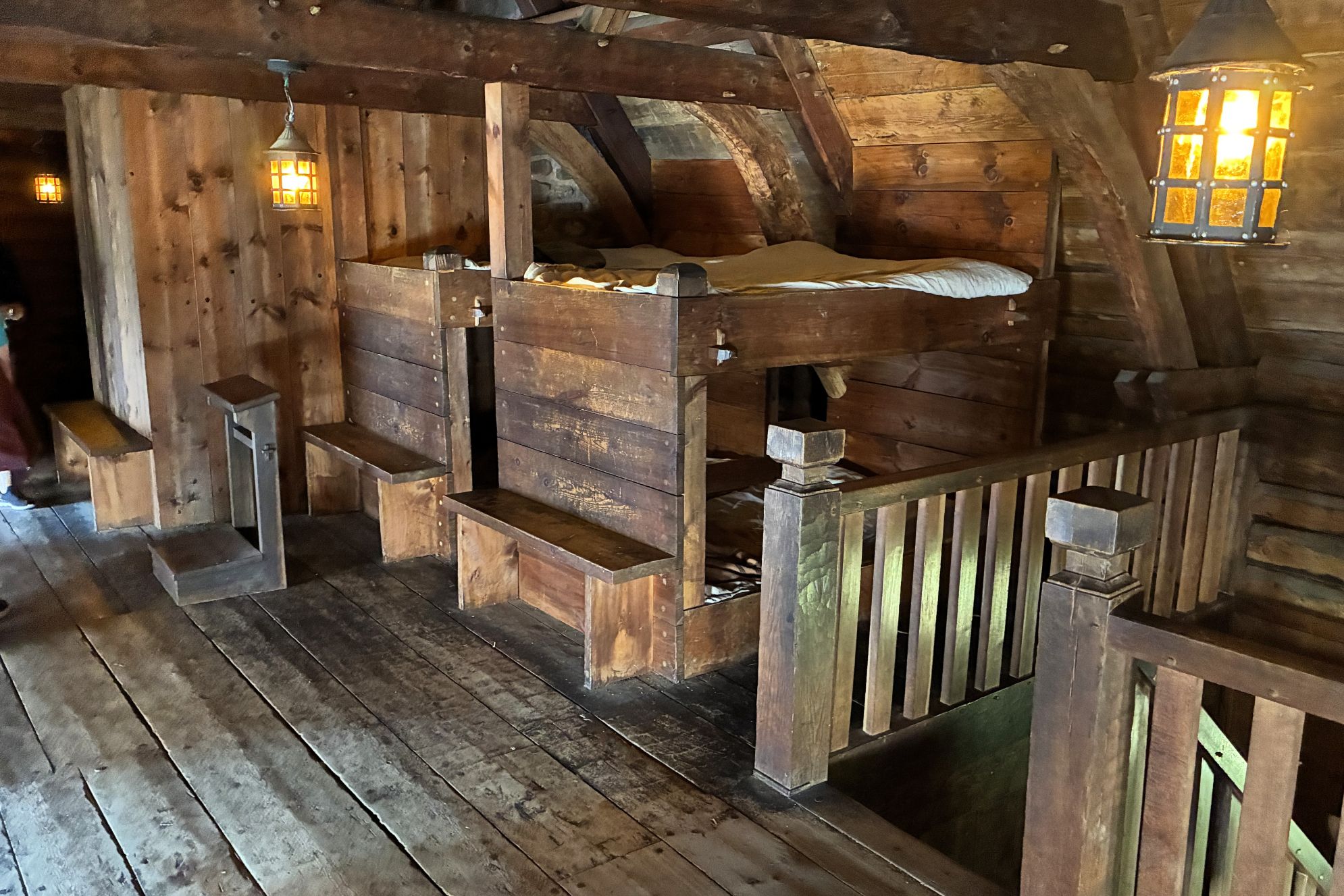
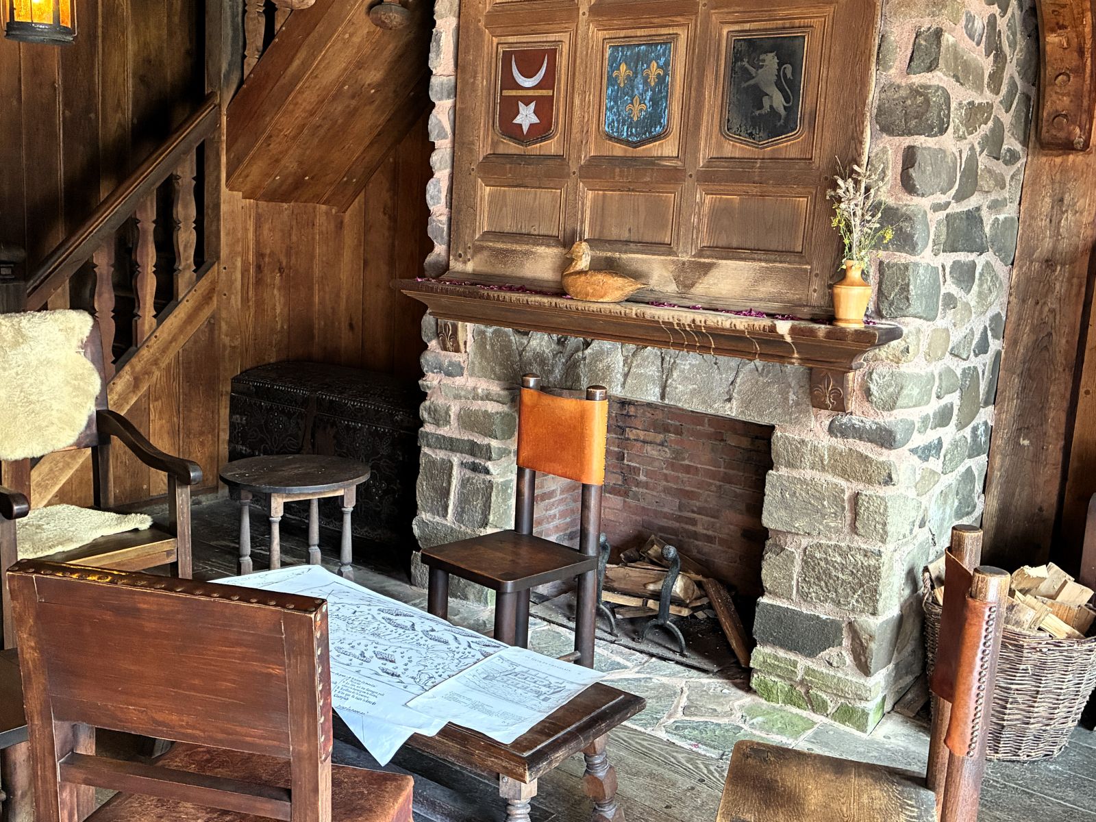
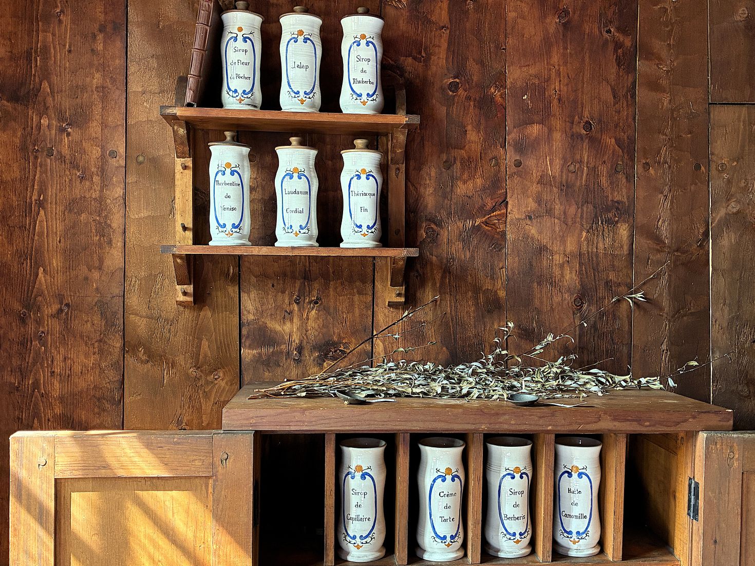
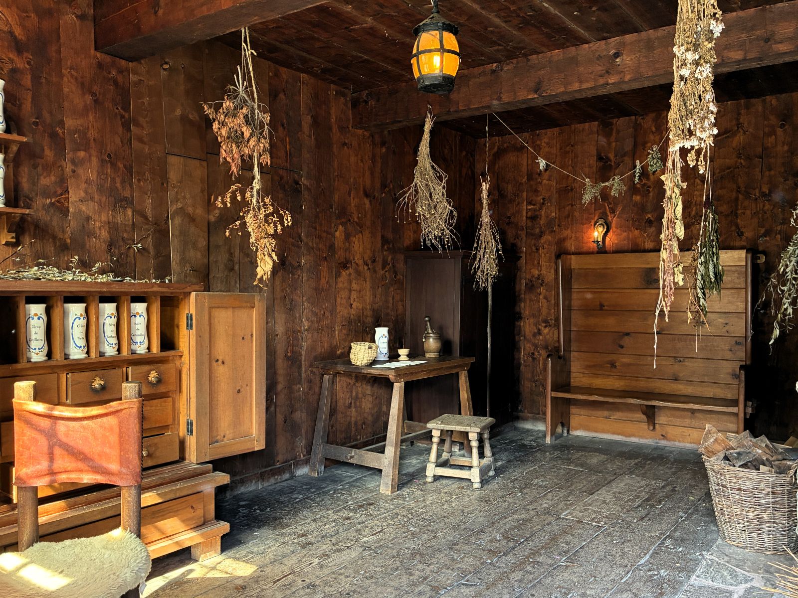
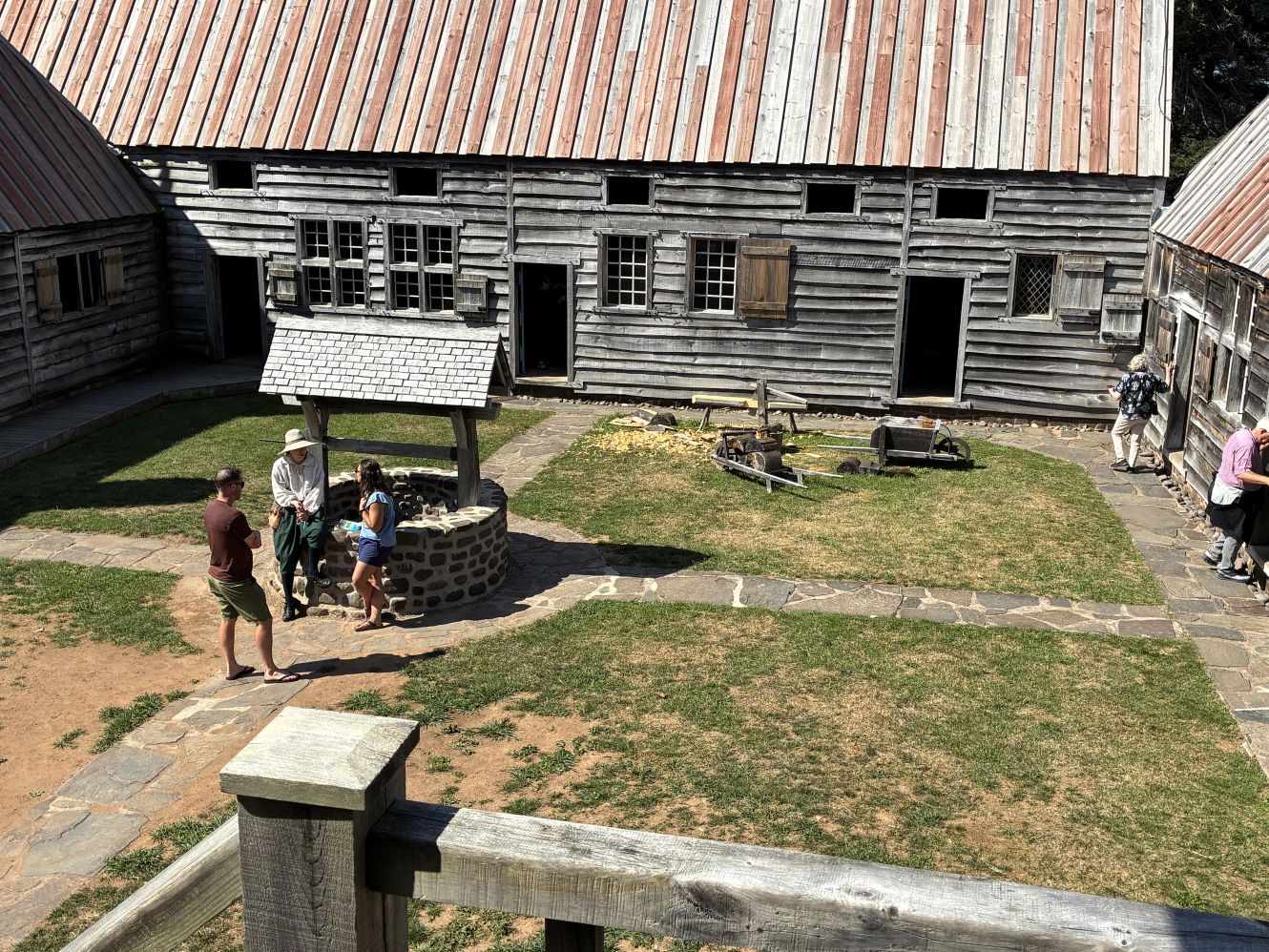
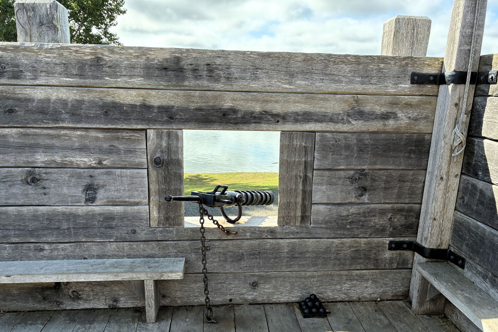
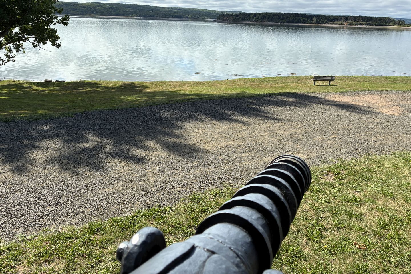
An English expedition from Virginia looted and burned the Habitation, destroying it in 1613.
We boarded the bus again and had lunch at German Bakery.
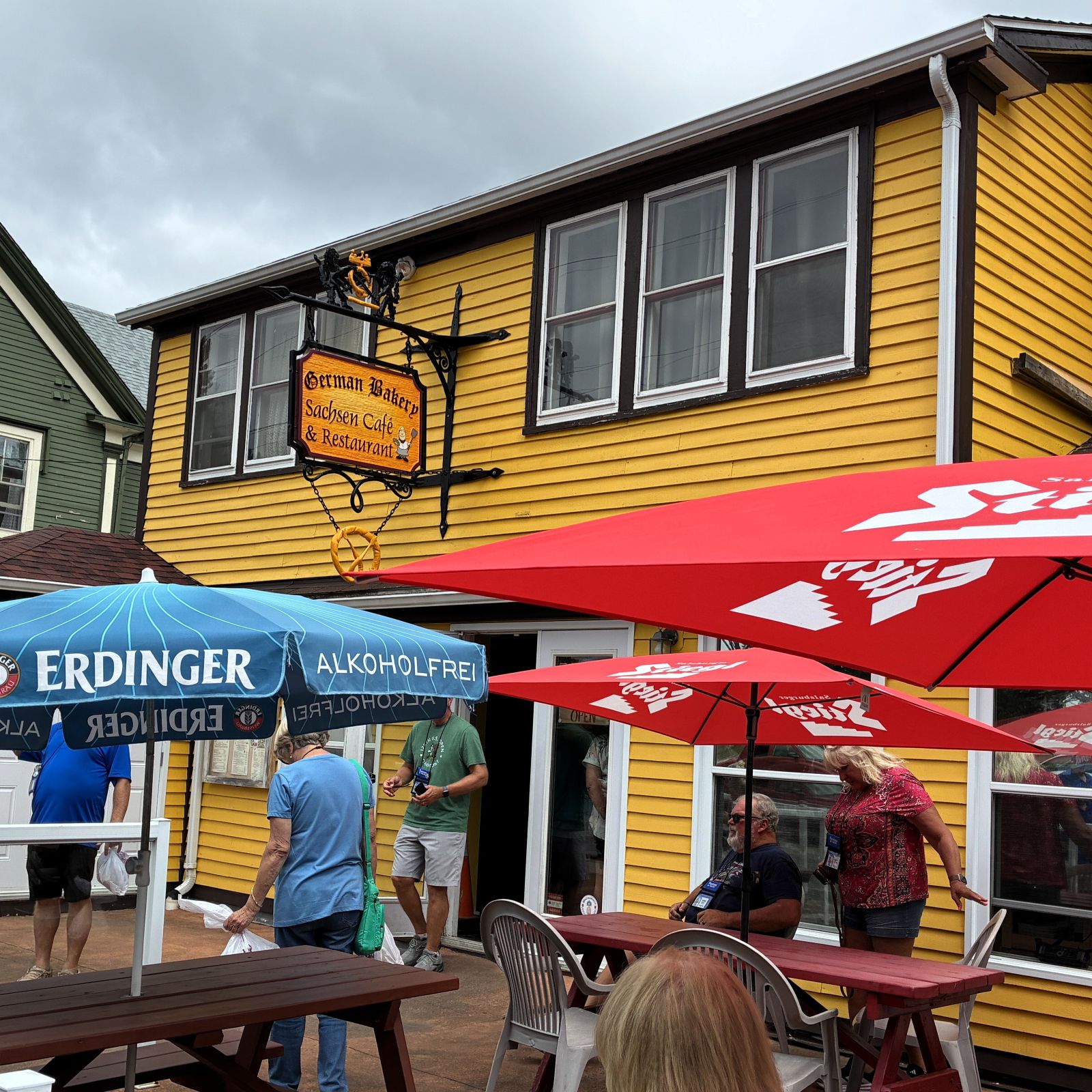
We drooled over the baked goods as we entered and bought some to take home!
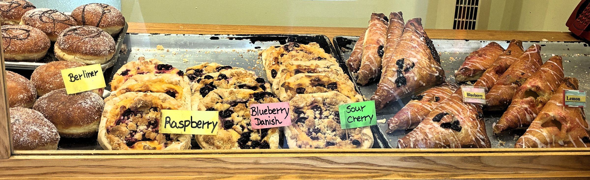
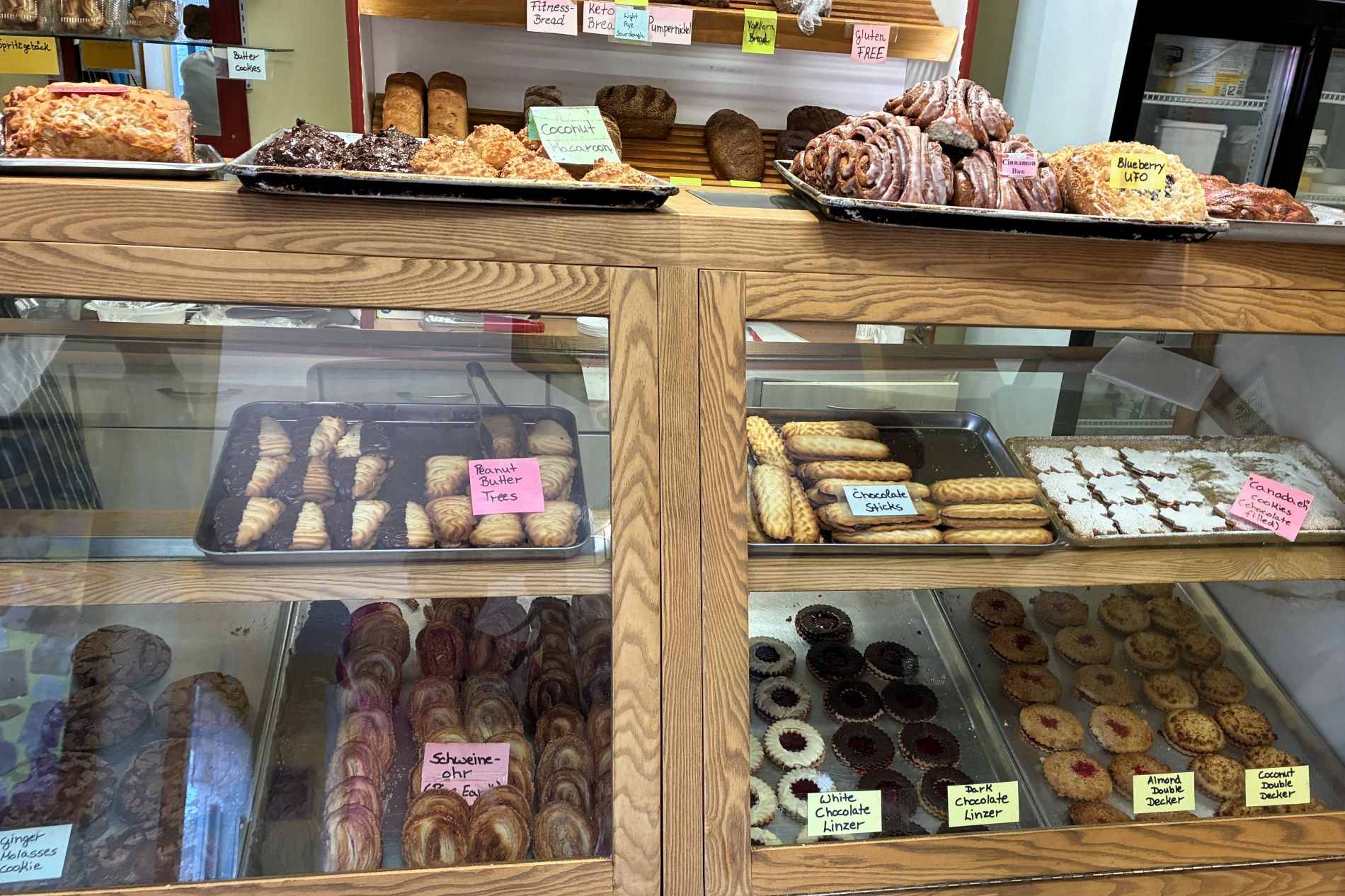
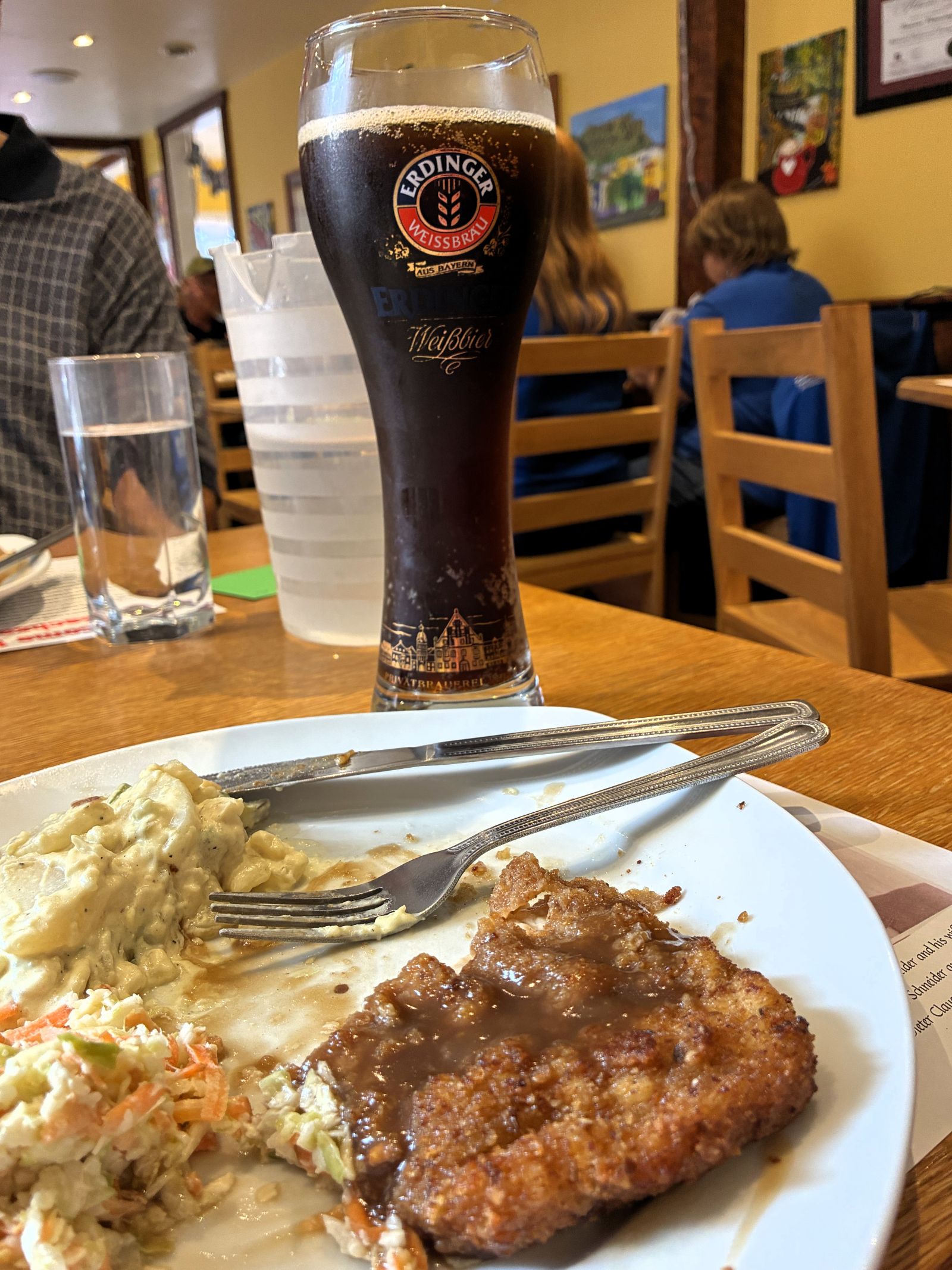
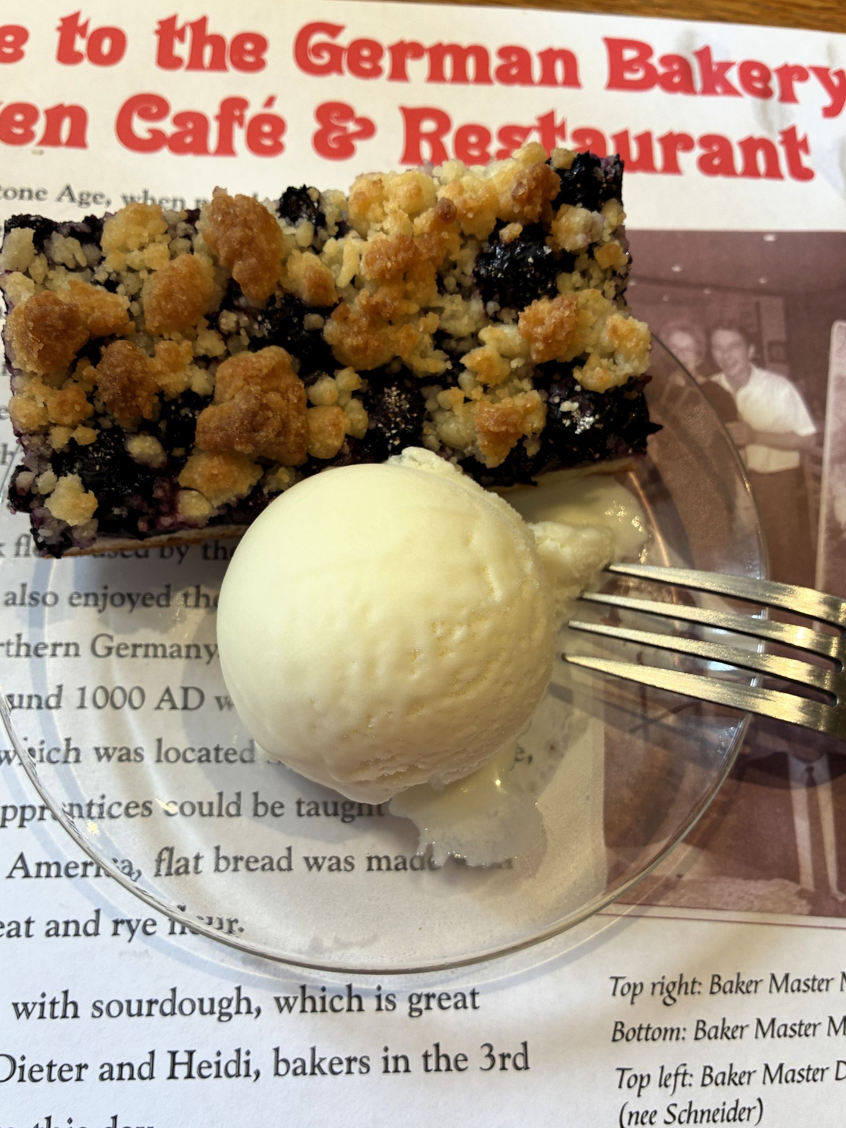
For lunch, we had a choice of (pork) Schnitzel or Bratwurst with potato salad and Cole slaw or sauerkraut. We had chosen the schnitzel, and we had a delicious blueberry pastry ala mode for dessert.
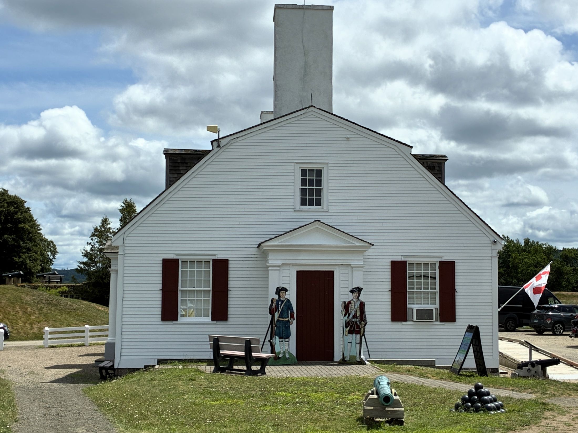
After lunch, we headed to Fort Anne for another guided tour. The fort was established by Scottish settlers in 1629. The founding of the new fort permanently shifted the Port Royal colony’s center of activity. It is Canada’s first administered National Historic Site and one of the most hotly contested pieces of land on the continent. A succession of Scottish, French, and English settlers fought over this land, often drawing the Mi’kmaq into their conflict. The settlement around the new fort would evolve into the modern-day town of Annapolis Royal.
Our first stop was at the museum.
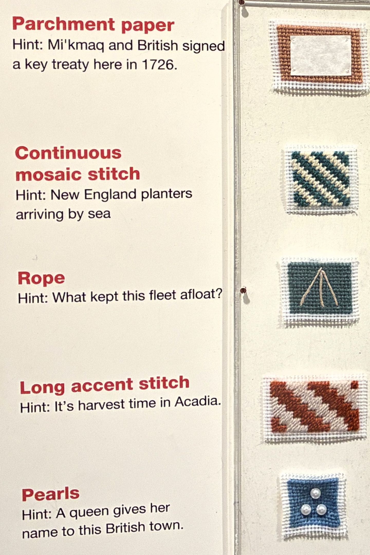
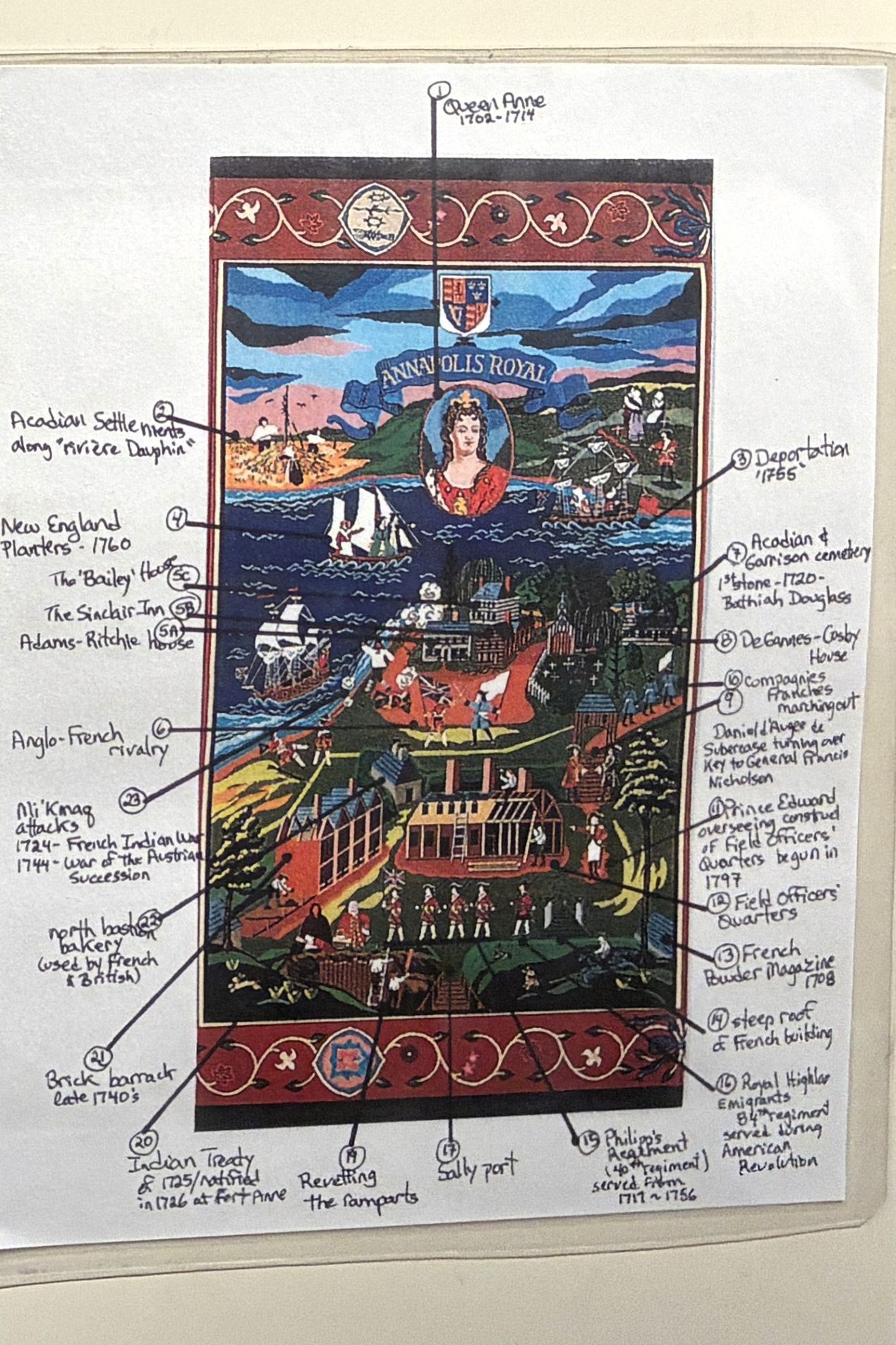
A couple of tapestries were on display. The first one told the story of Port Royal and Annapolis Royal.
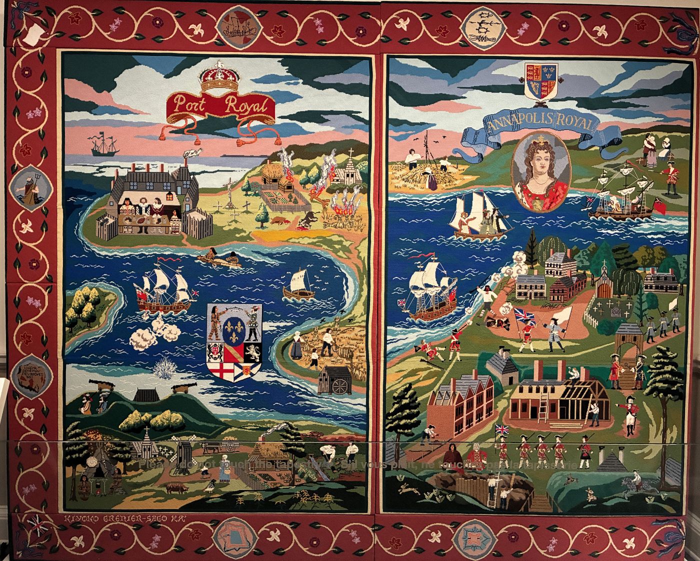
Port Royal on the left side.
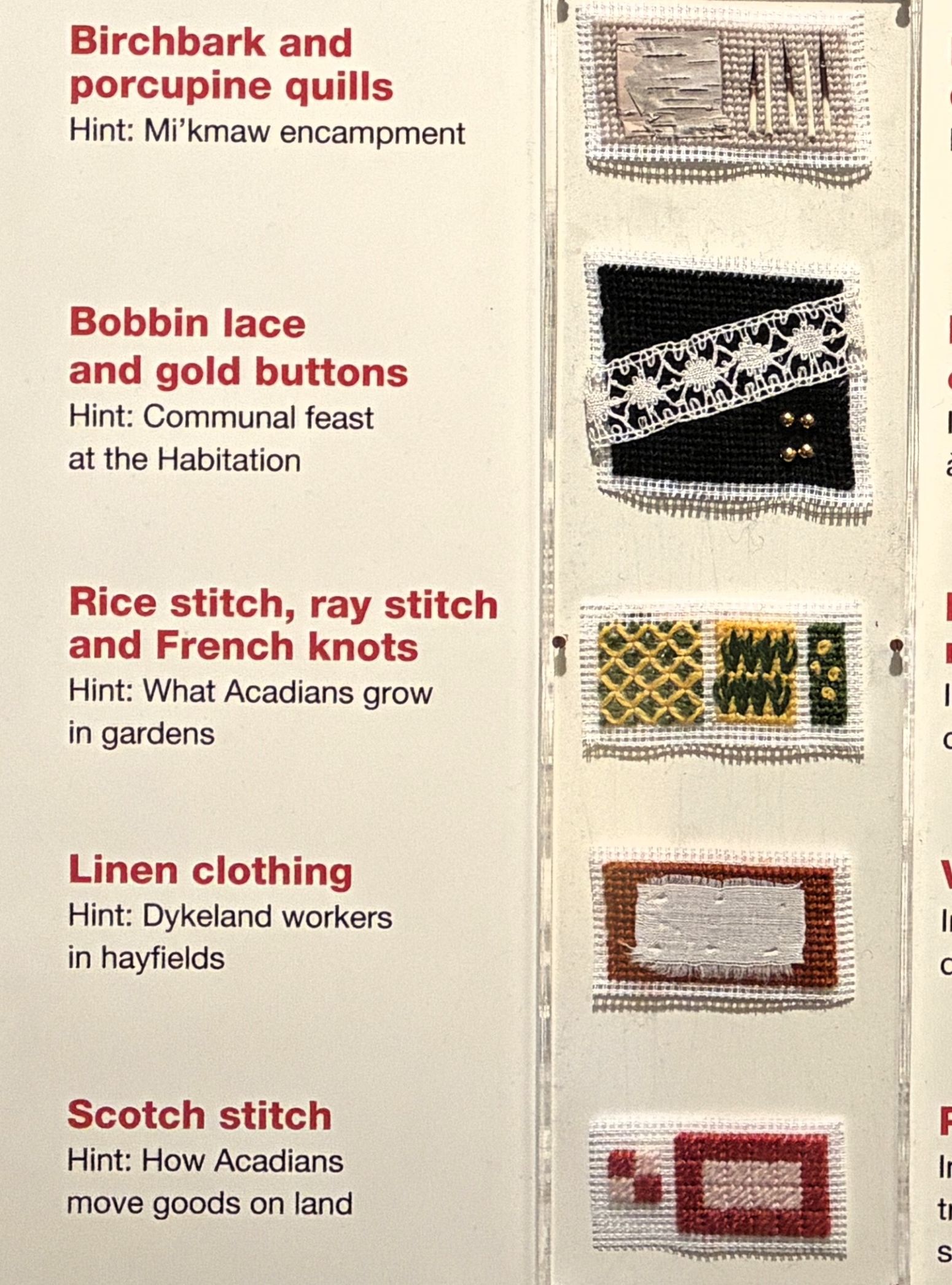
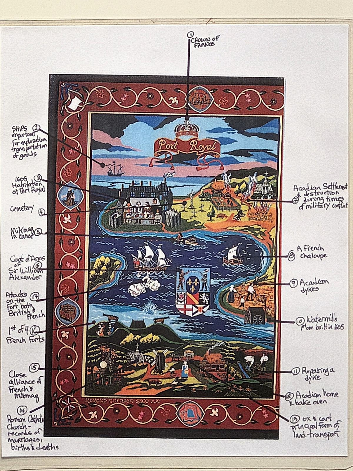
Annapolis Royal on the right side.
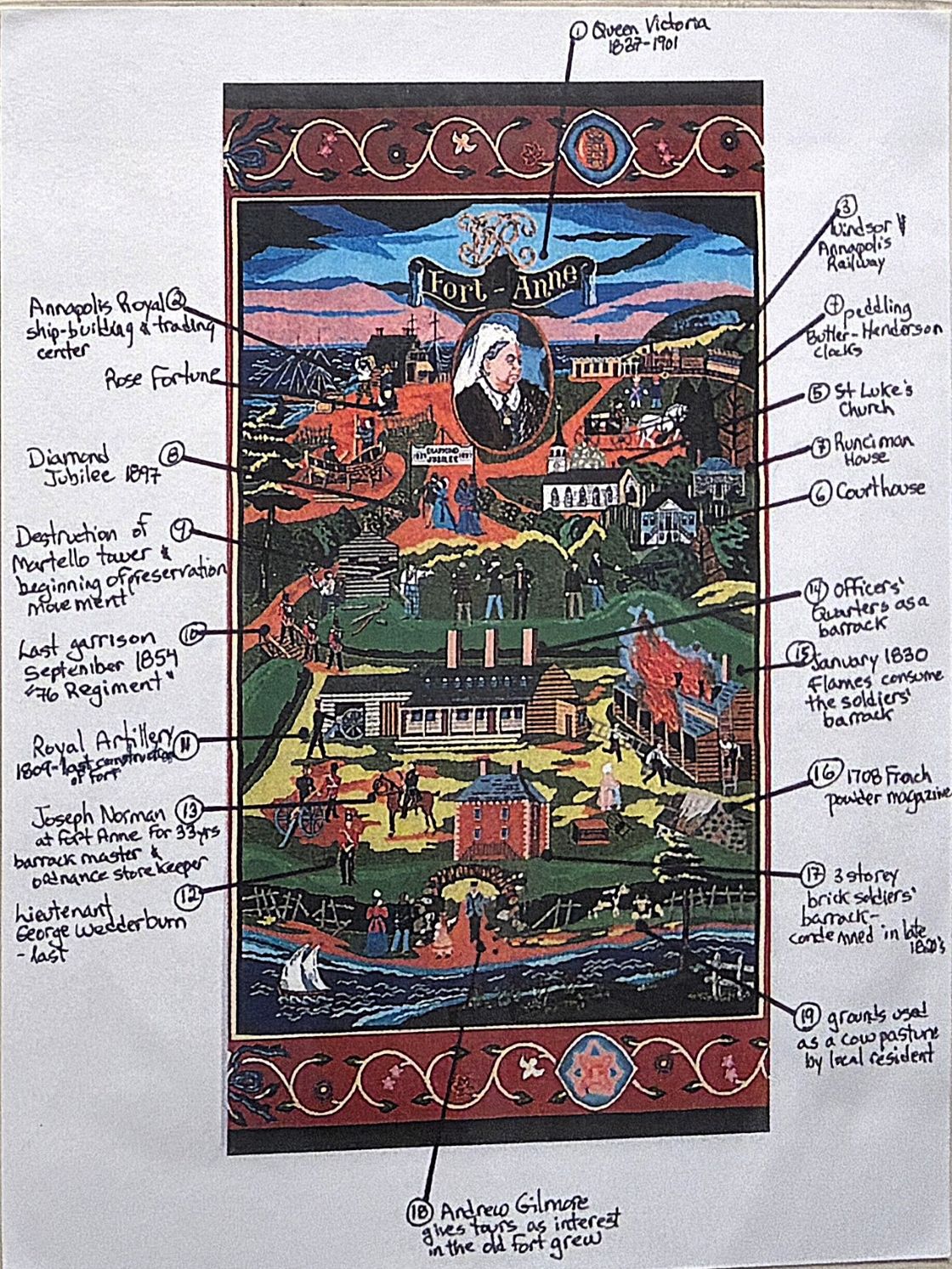
The second one told about Fort Anne and Canada’s National Historic Parks.
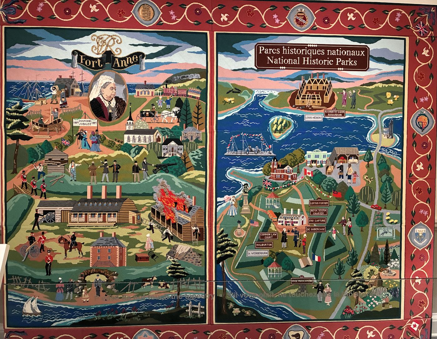
Fort Anne on the left side.
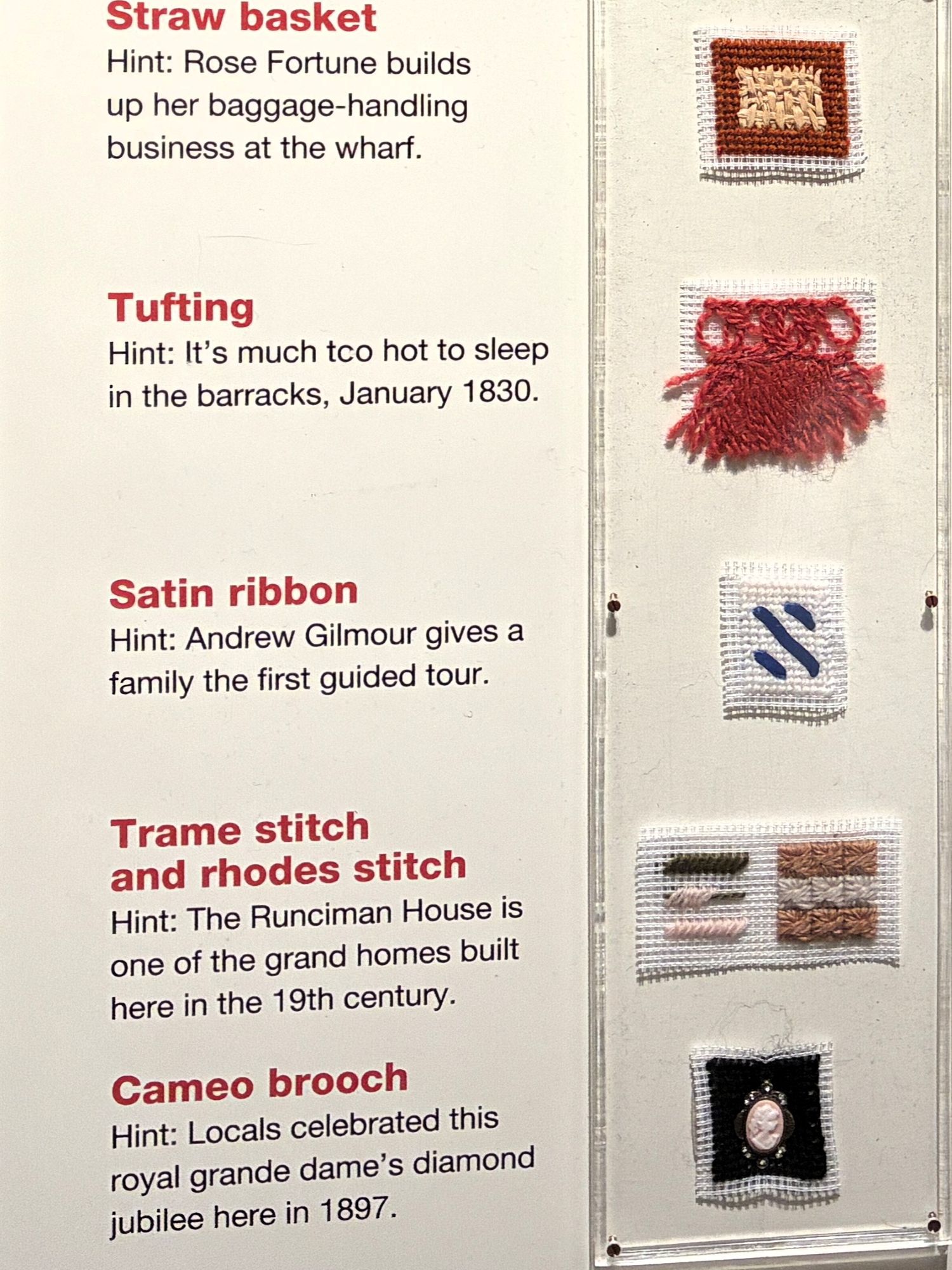
Canada’s National Historic Parks on the right side.
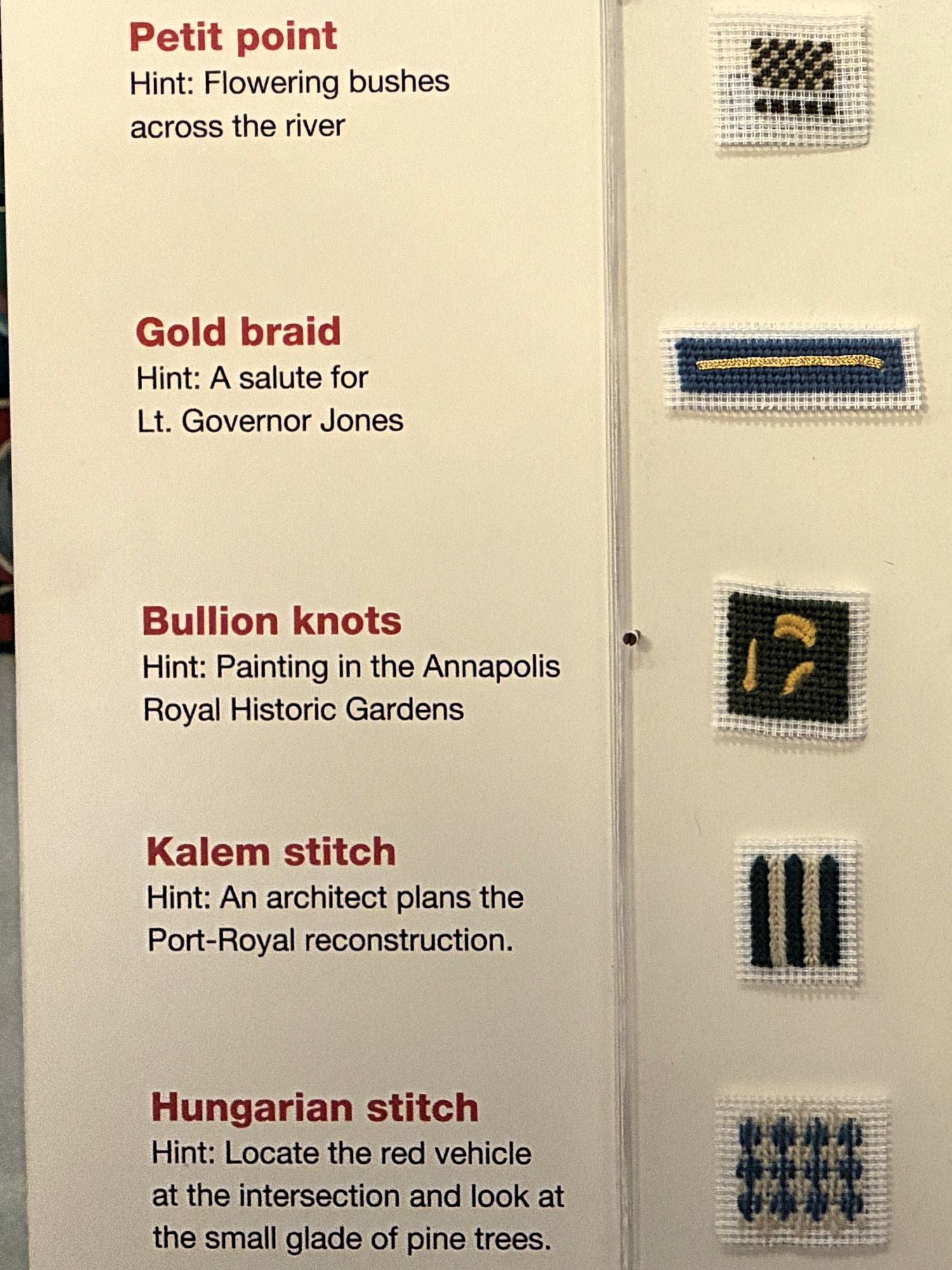
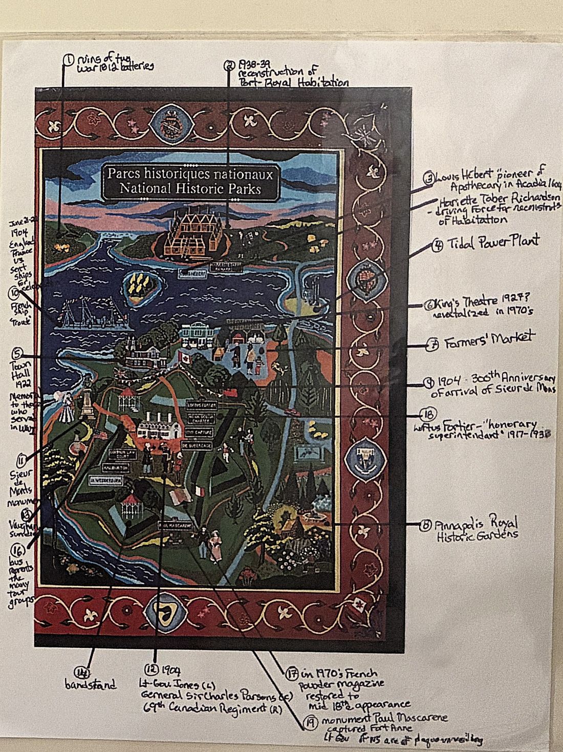
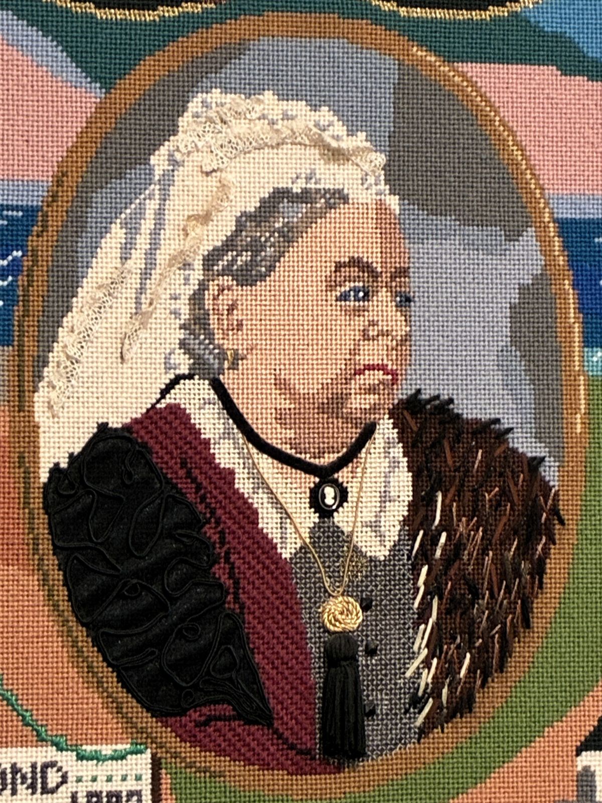
An interesting fact: In 1994, when Queen Elizabeth was on her way to Victoria, British Columbia for the opening of the Commonwealth Games she did stop in Halifax. The only private audience she gave was to put a few stitches in gold treading on the figure of her ancestor Queen Victoria.
There were many displays about Canadian history in the museum.
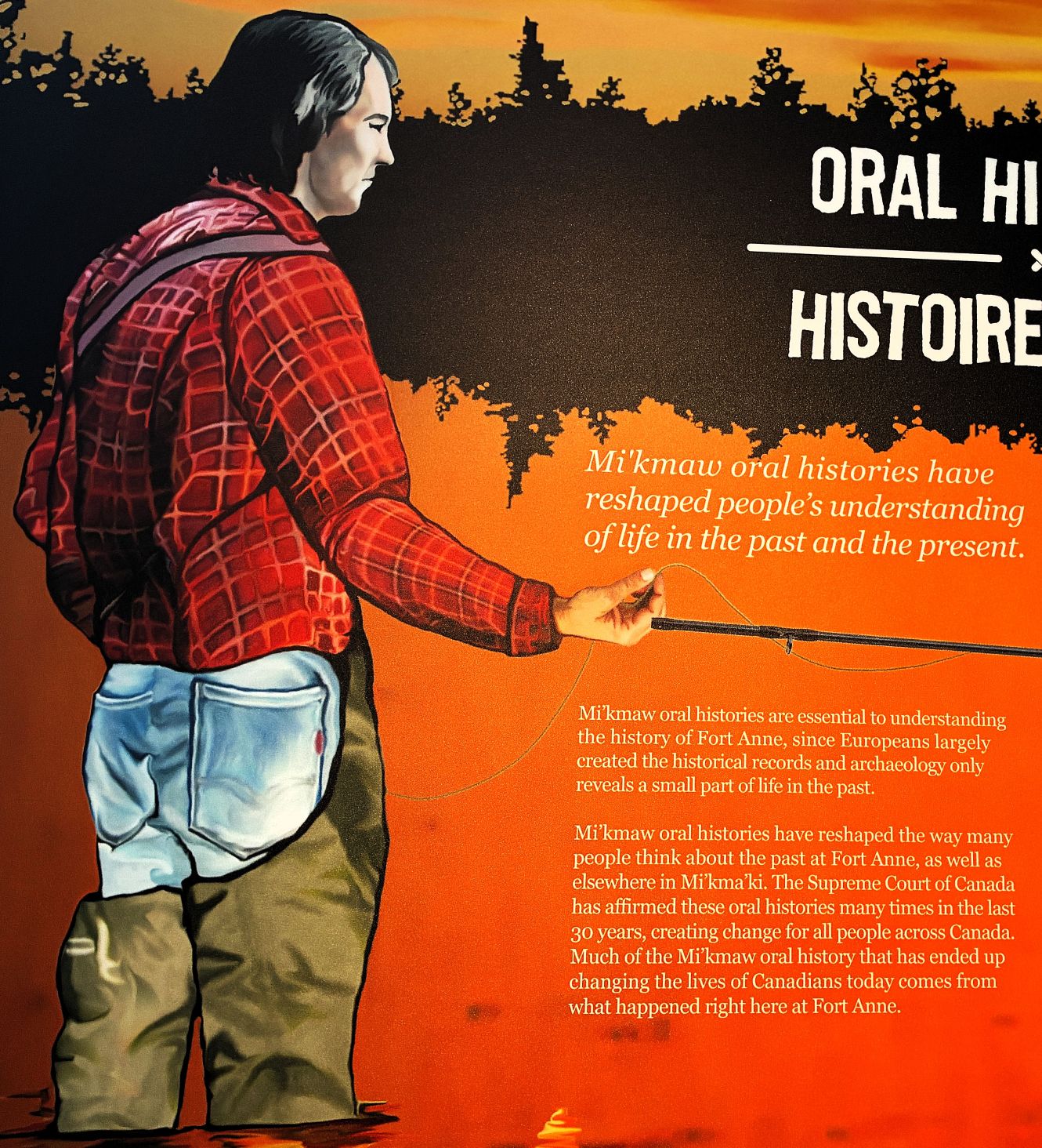
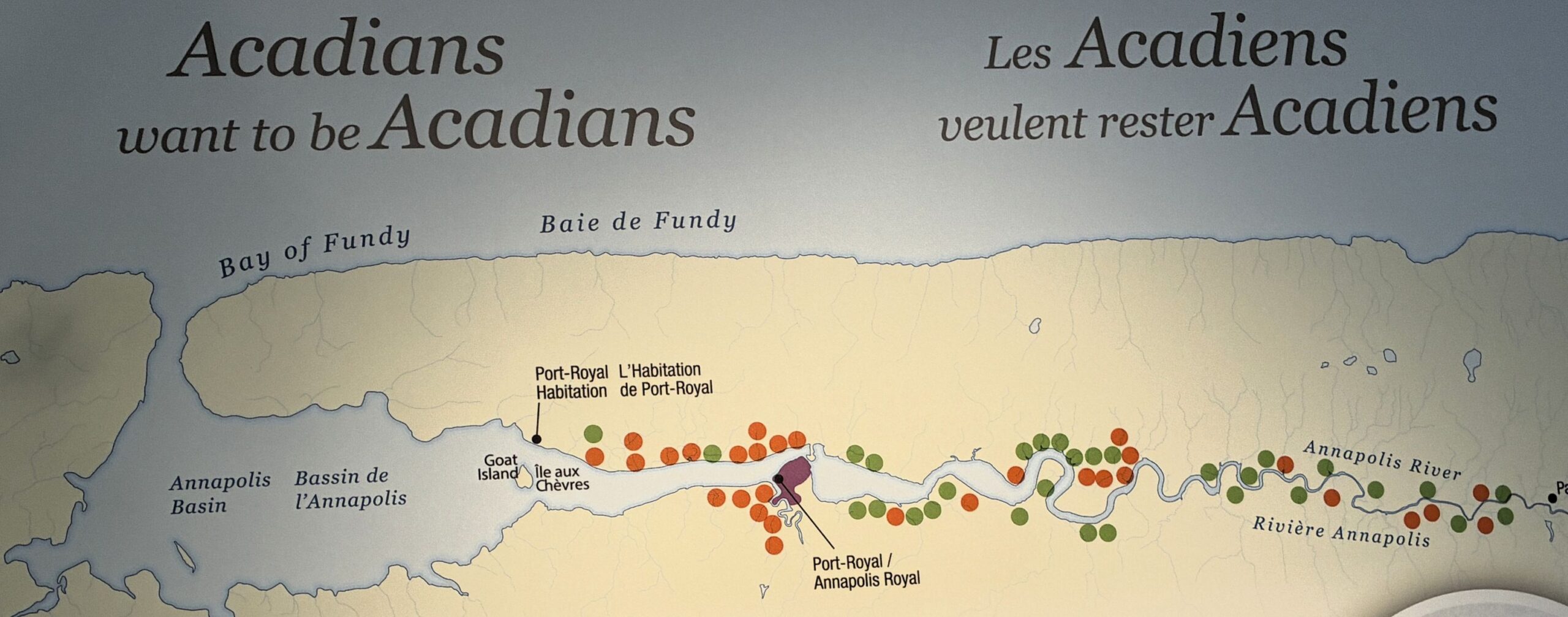
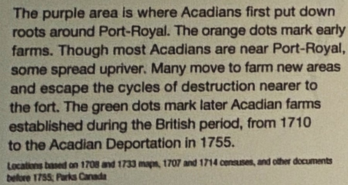
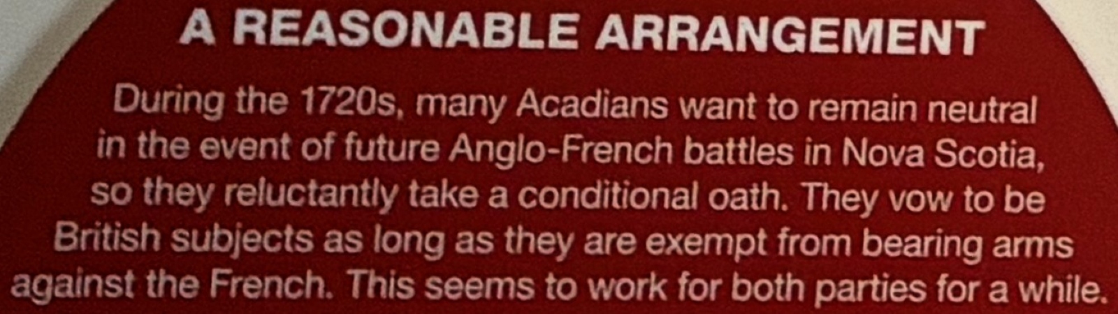
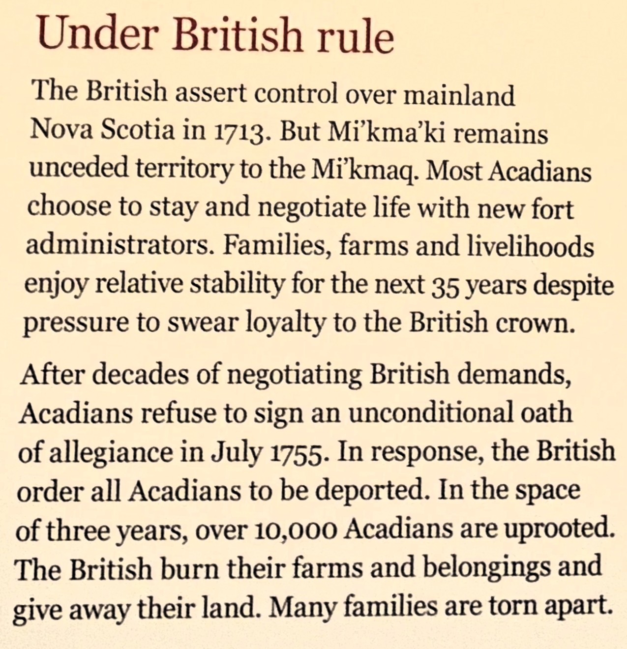
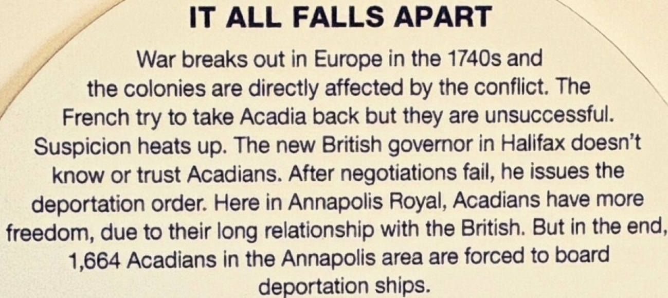
This is what Fort Anne looked like in 1745, following several years of significant repair.
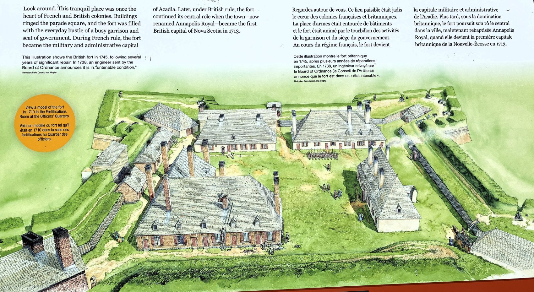
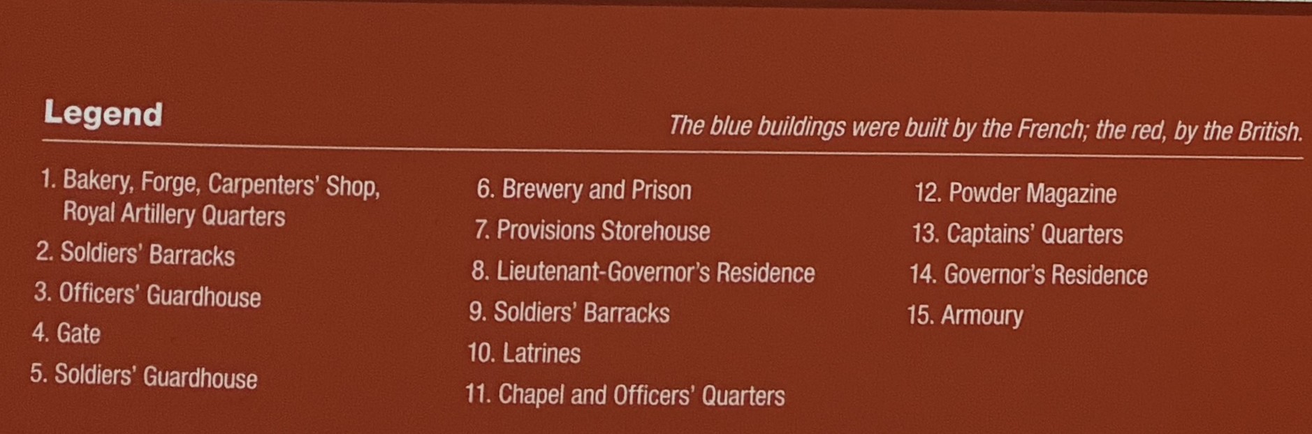
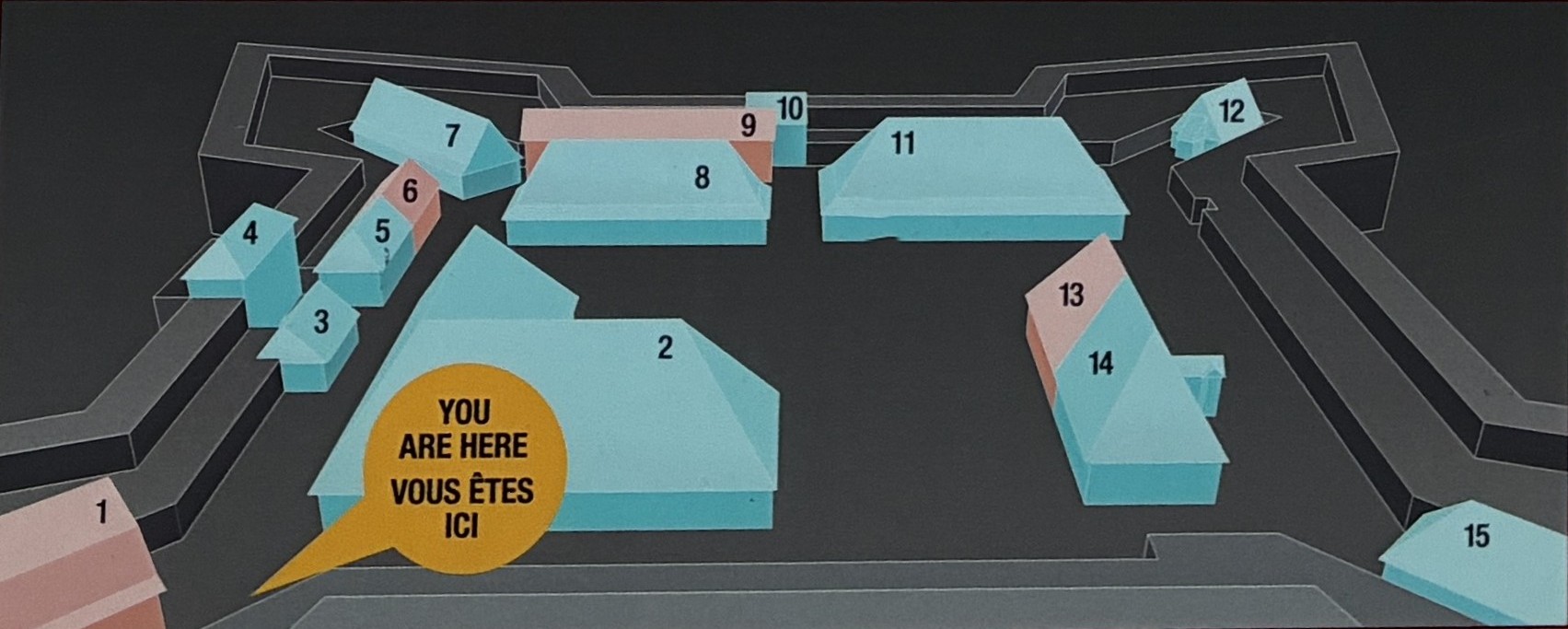
Not much of the fort had been rebuilt, so it was kind of hard to imagine how it looked! This “black hole” was restored in the 1890’s.
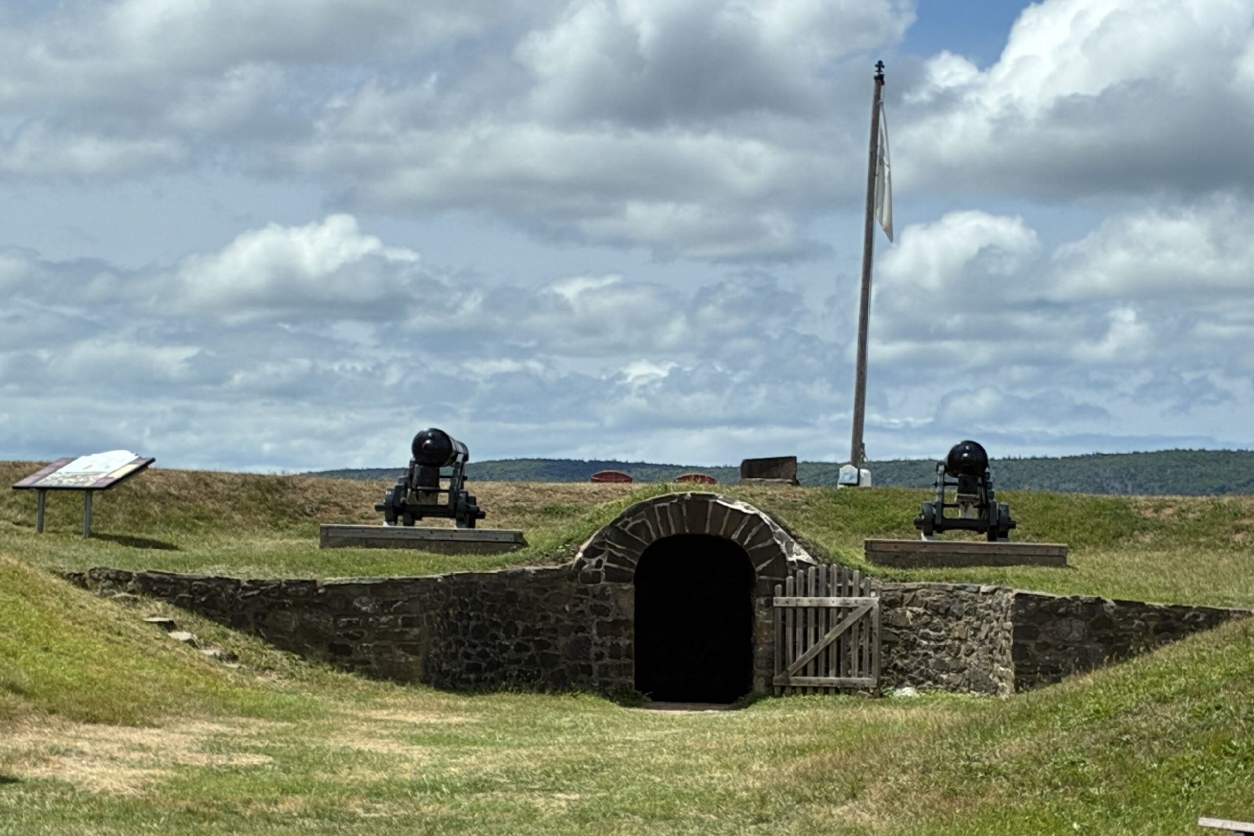
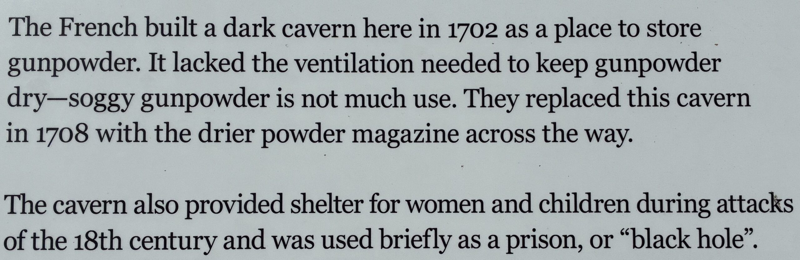
The newer and drier powder magazine.
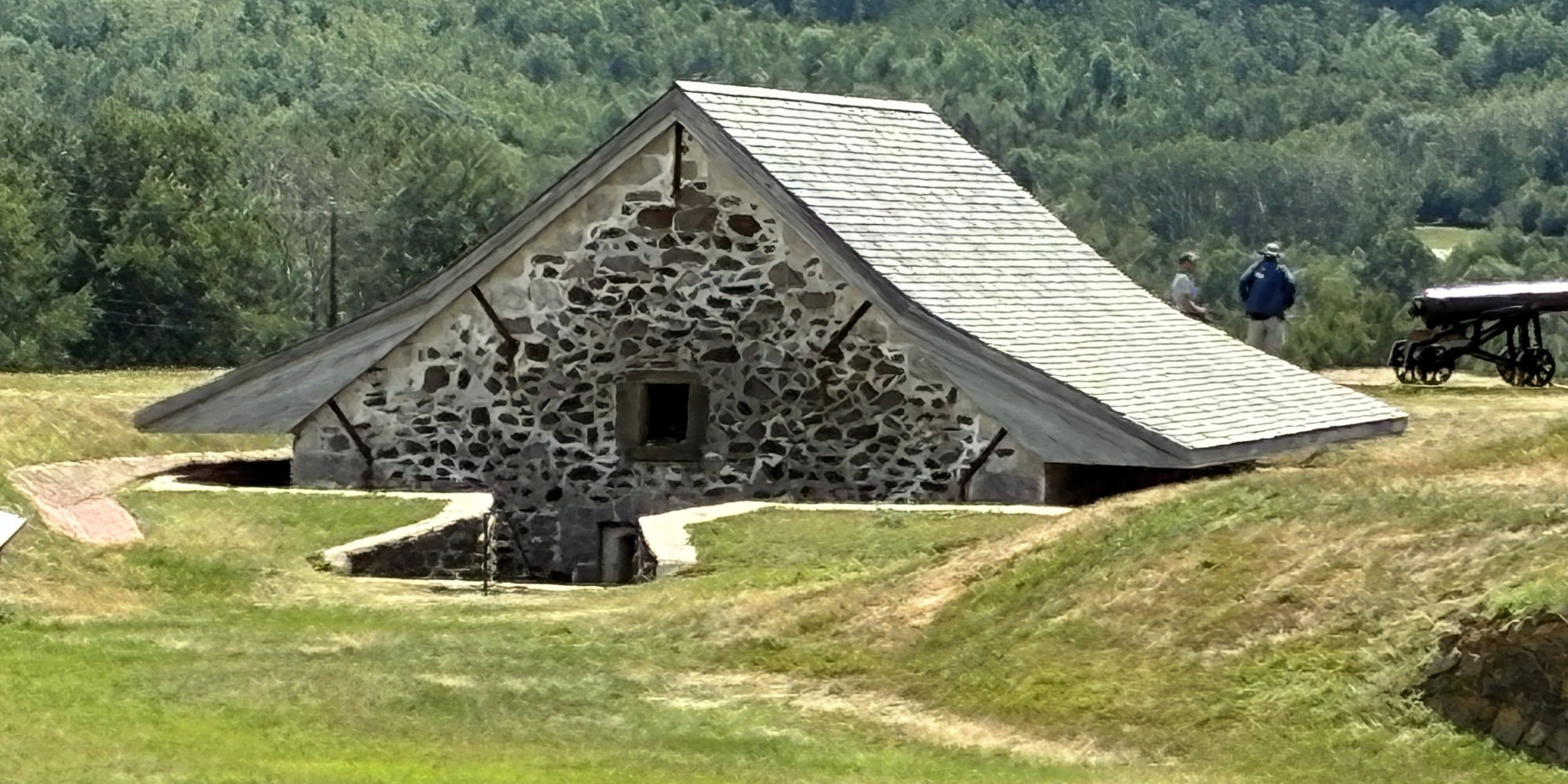
A couple of statues on the grounds – this one of Pierre Duga de Mons who in 1605 established the Habitation at Port Royal; the first permanent European settlement in North America, north of Saint Augustine, Florida.
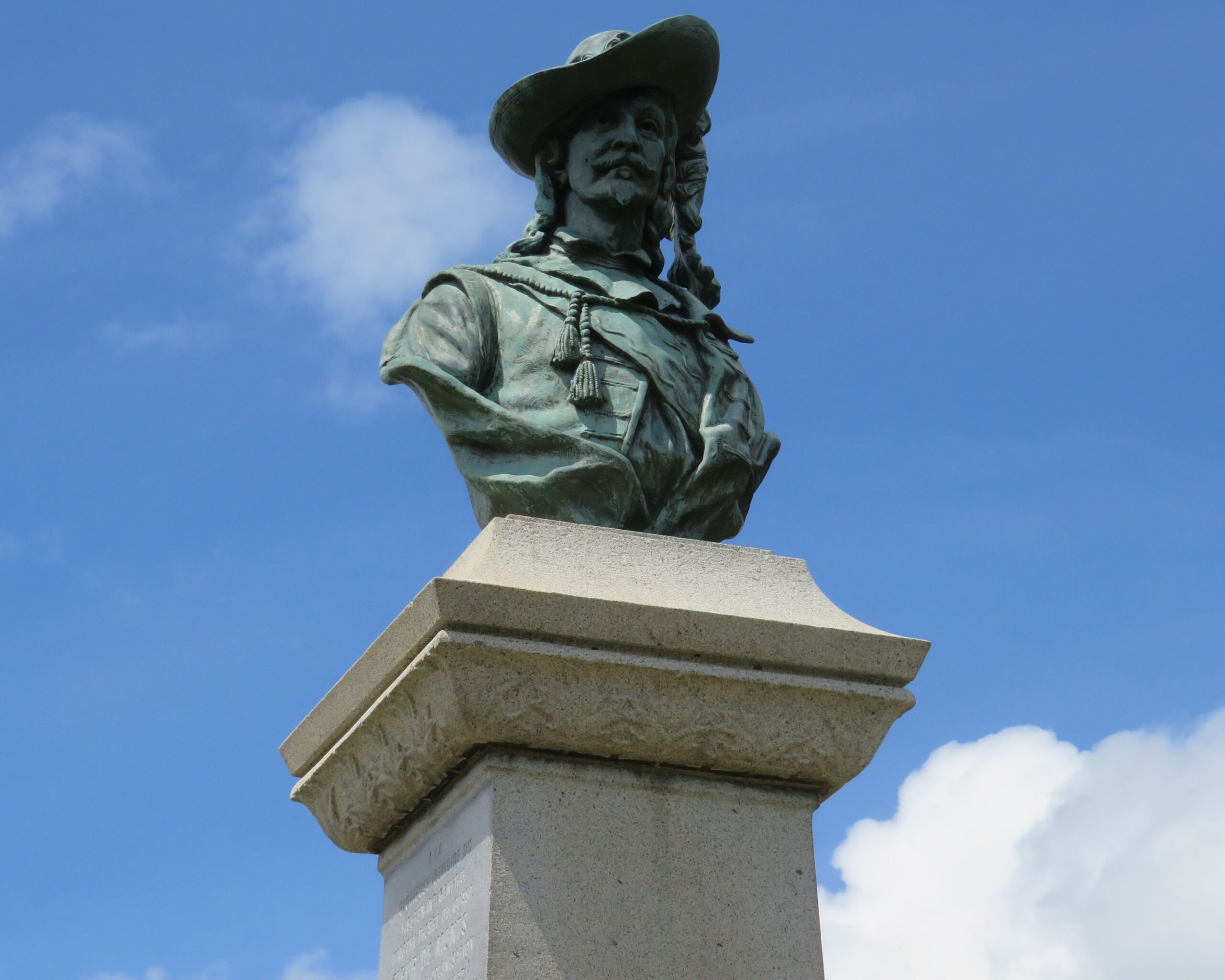
And a statue of Samuel de Champlain; born around 1567 in Brouage, France, participated in the founding of a French colony on the shores of Port Royal.
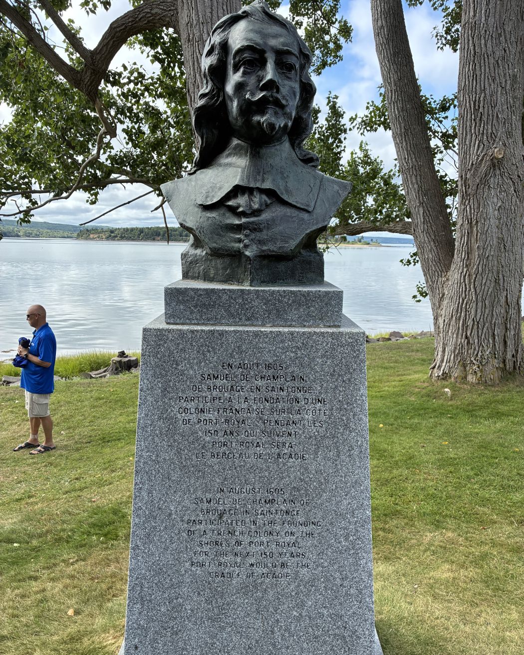
This was certainly a beautiful setting for the fort – overlooking the Annapolis Basin.
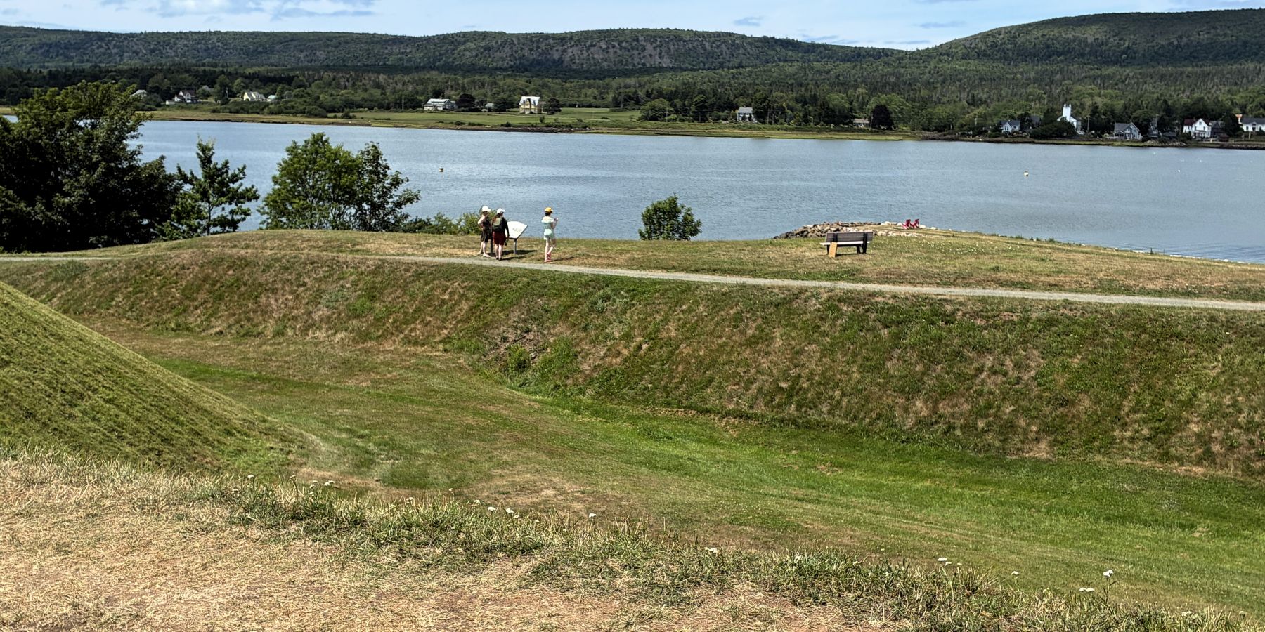
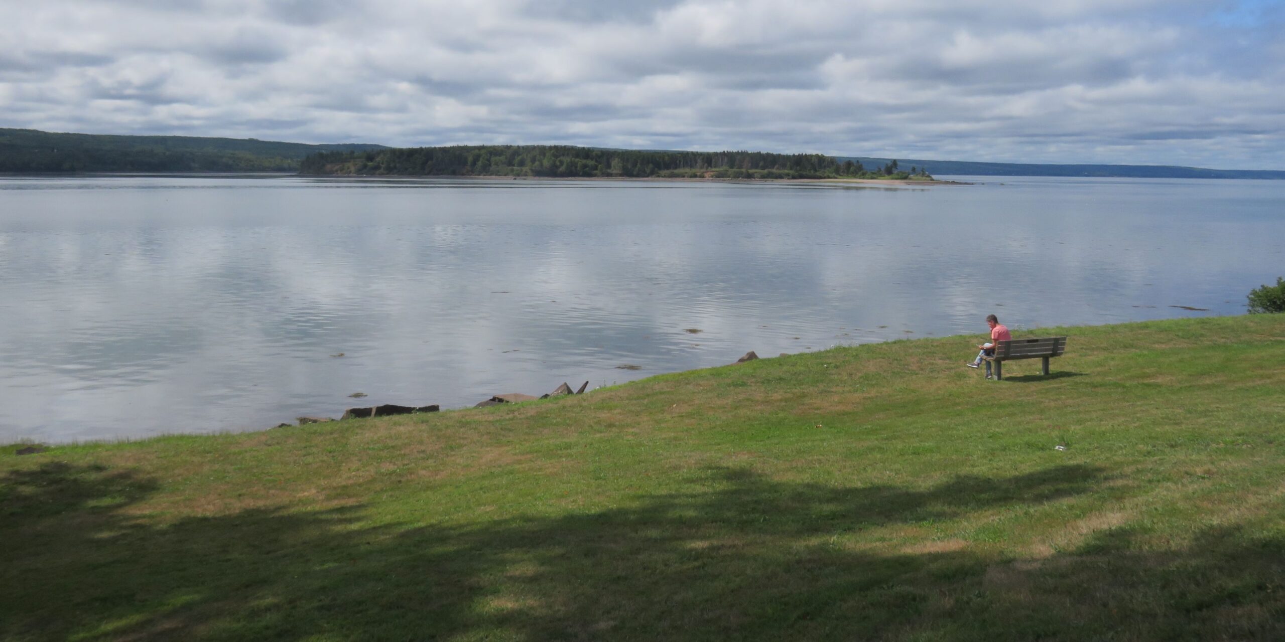
That finished Day 11 of our 27-day Fantasy RV tour – nearly half over already; a nice breaking point for this blog post. We have learned a lot about Canadian history, seen many interesting places and enjoyed meeting fellow travelers!

The world is a big place…lots of stuff to see….
Thank you for sharing your fantasy RV tour on your blog. I enjoyed reading and viewing the pictures. Looking forward to part two.😀
Fascinating!
Looks like a great time had by all! Fascinating places to see and lots and lots of history. Glad everything was so organized and your group had no issues. Thanks for the interesting, once again, BLOG!
What a great, detailed account of the trip! Thanks for sharing!
Your blog refreshed fantastic memories! We made it home August 28 and thought we’d see you again at one of the campgrounds while passing thru Canada on the Trans Canada Highway! Hope to see you both again!
Super!! Canada and the NE continue to enchant my heart. What a legacy to the settlers in that region — vast undesturbed by the hub-bub we often experience in the good’s lower 48…. thanks for putting these together. You didn’t miss much here, except the heat 🙂 – LN