Another long, detailed post… we were kept busy on this adventure in the Canadian Maritimes!
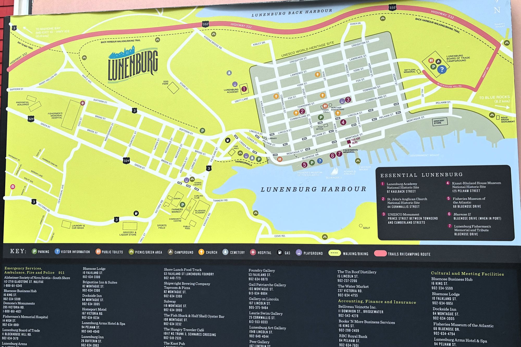
On July 30th we left Parkers Cove, Nova Scotia at 11am with 113,216.4 miles on Acey and 145,327 on Thor. We arrived at Lunenburg RV Park and Campground in Lunenburg, Nova Scotia at 2pm. We got set up in our space and walked down the hill to see the city – it was so close by! This sign shows a map of Lunenburg – with our campground up on the right side.
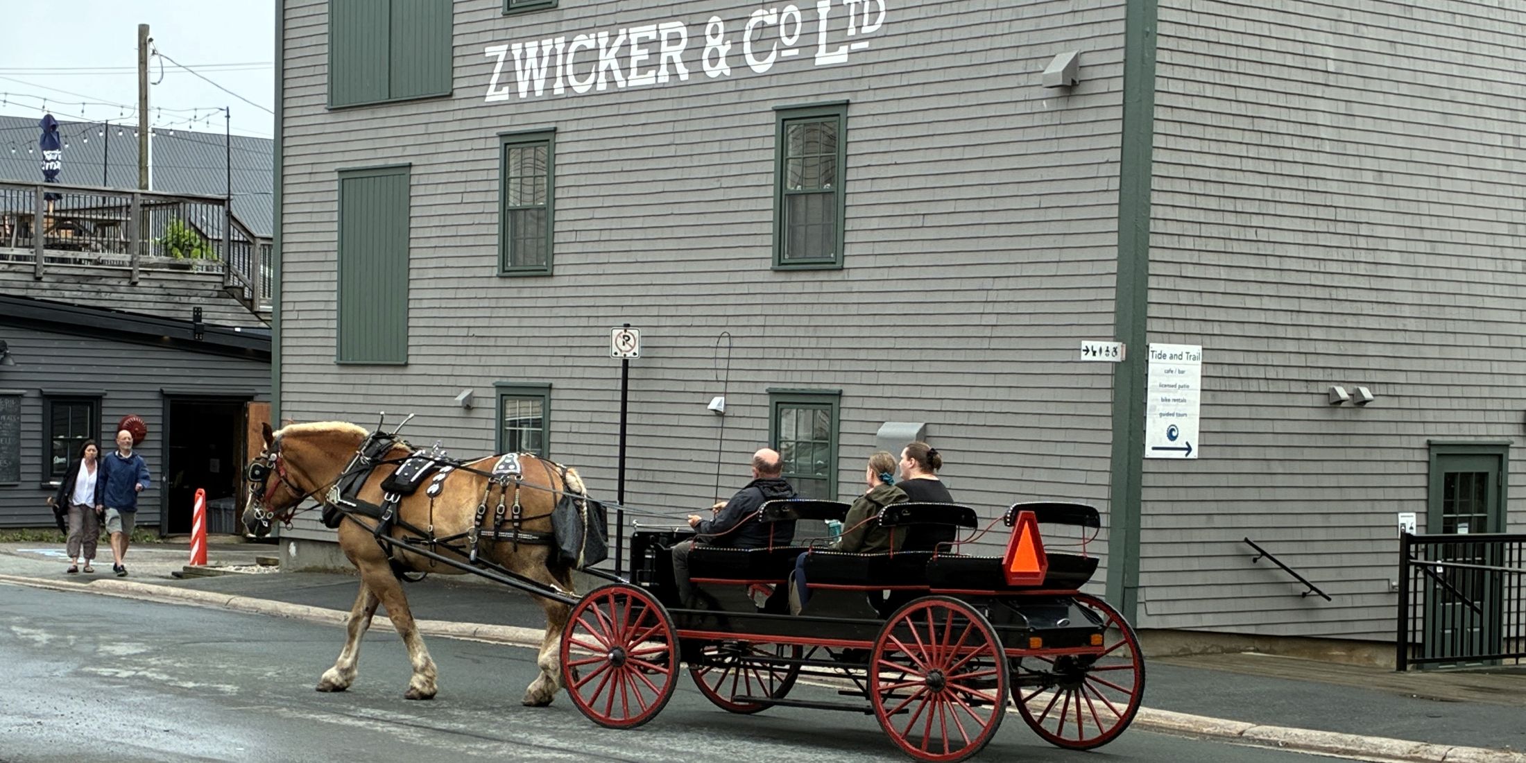
Such a quaint setting! A horse and buggy came down the street.
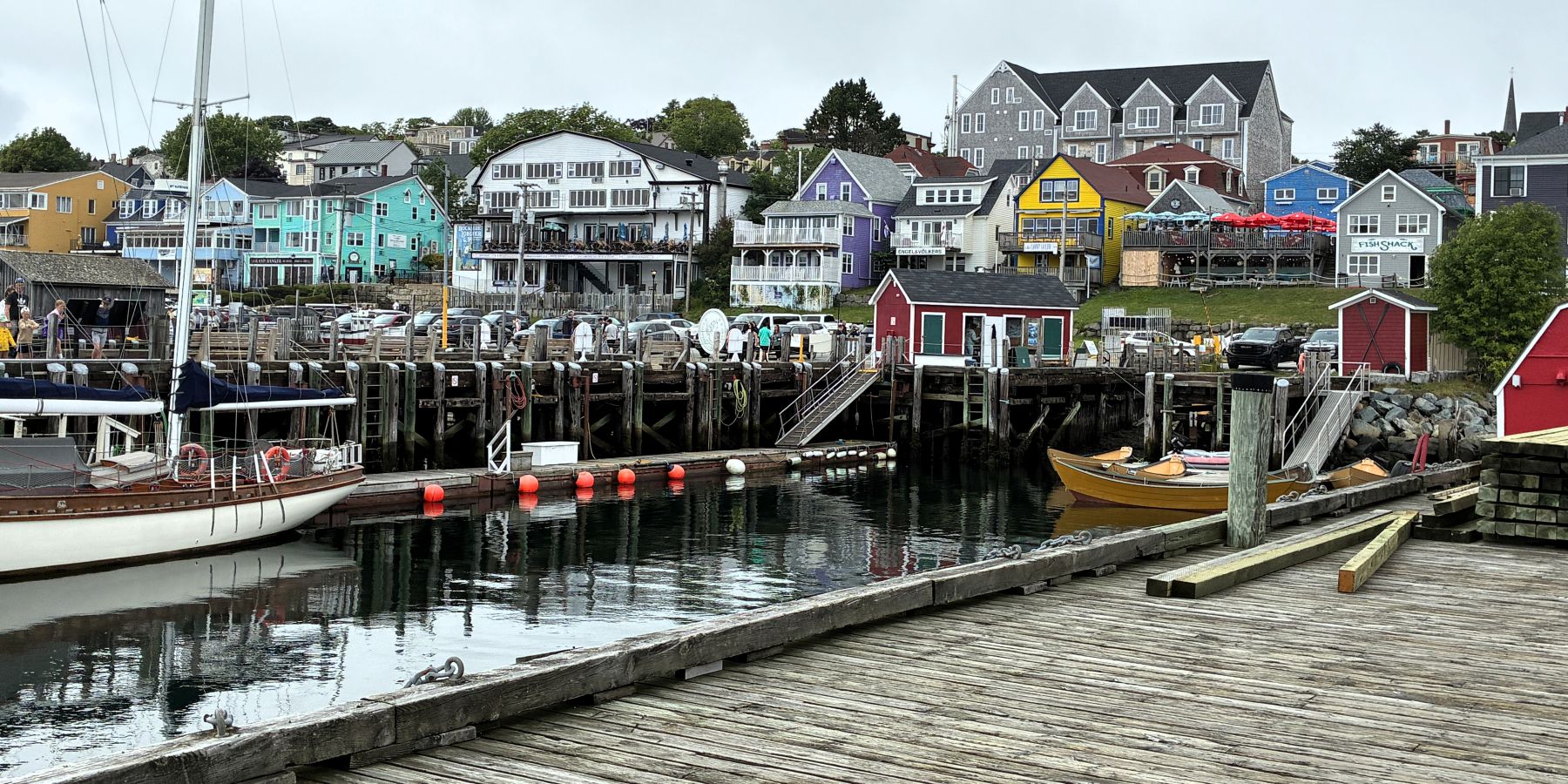
We headed down to the harbor to see the ships.
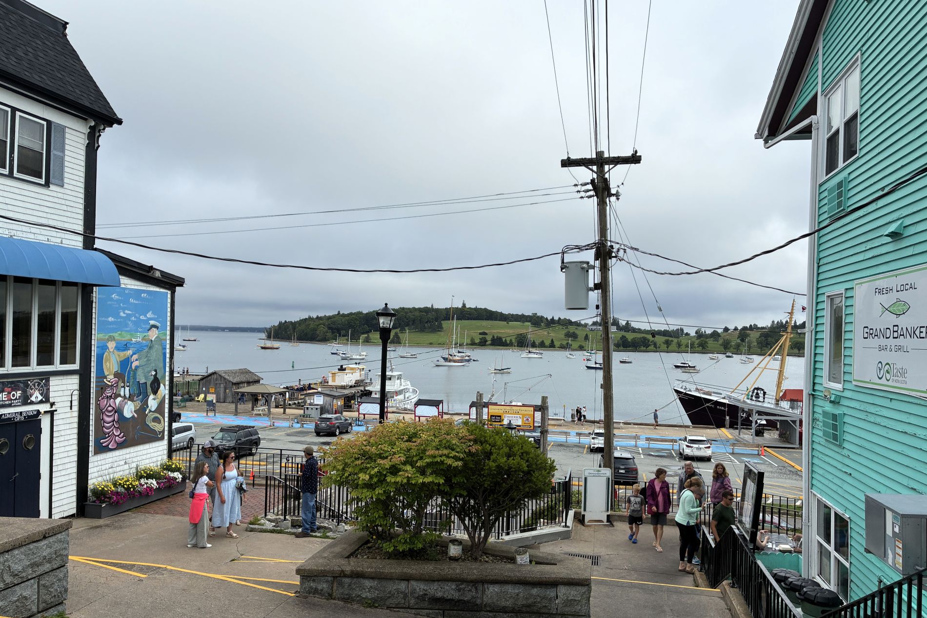
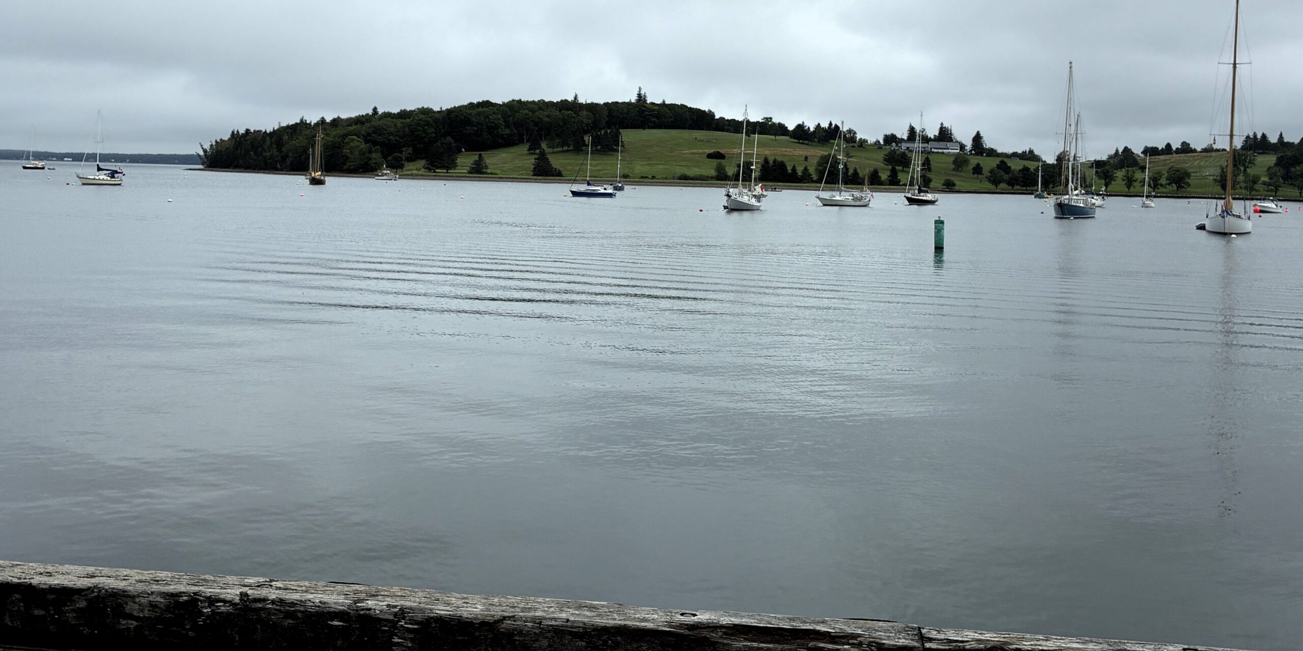
Across the way, there was a golf course.
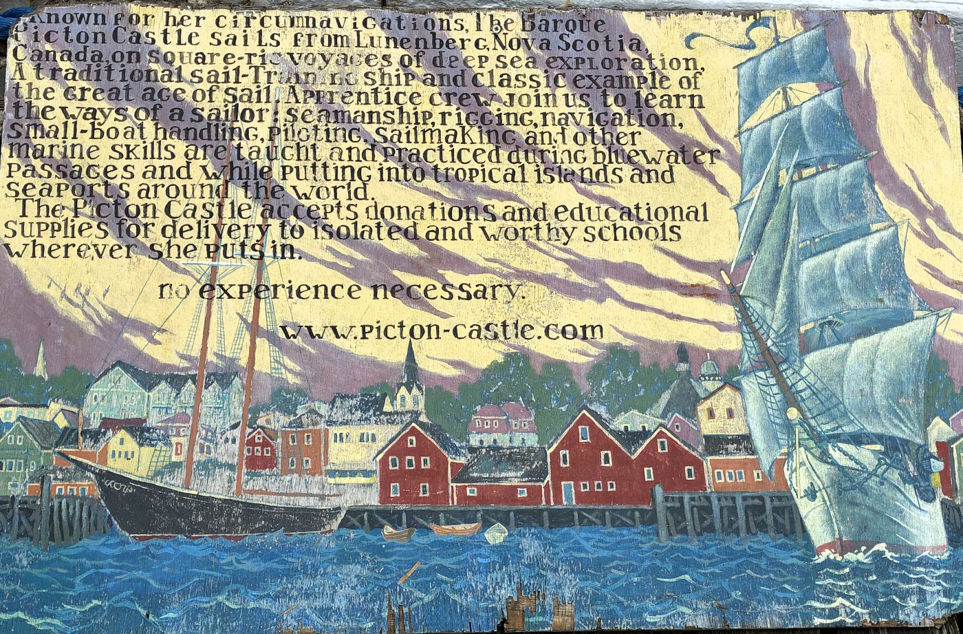
The Picton Castle, a three-masted tall ship was tied up at a dock.
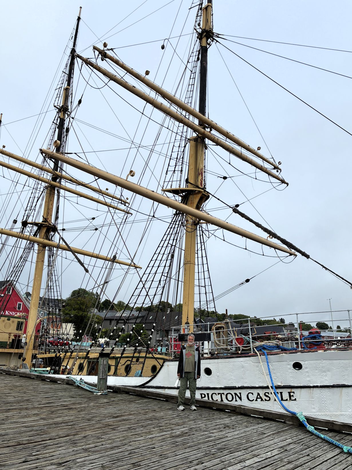
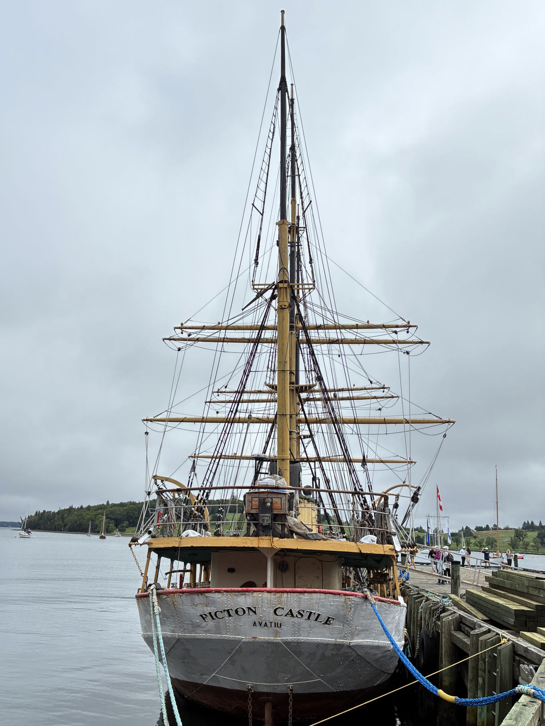
Learn more about the ship here.
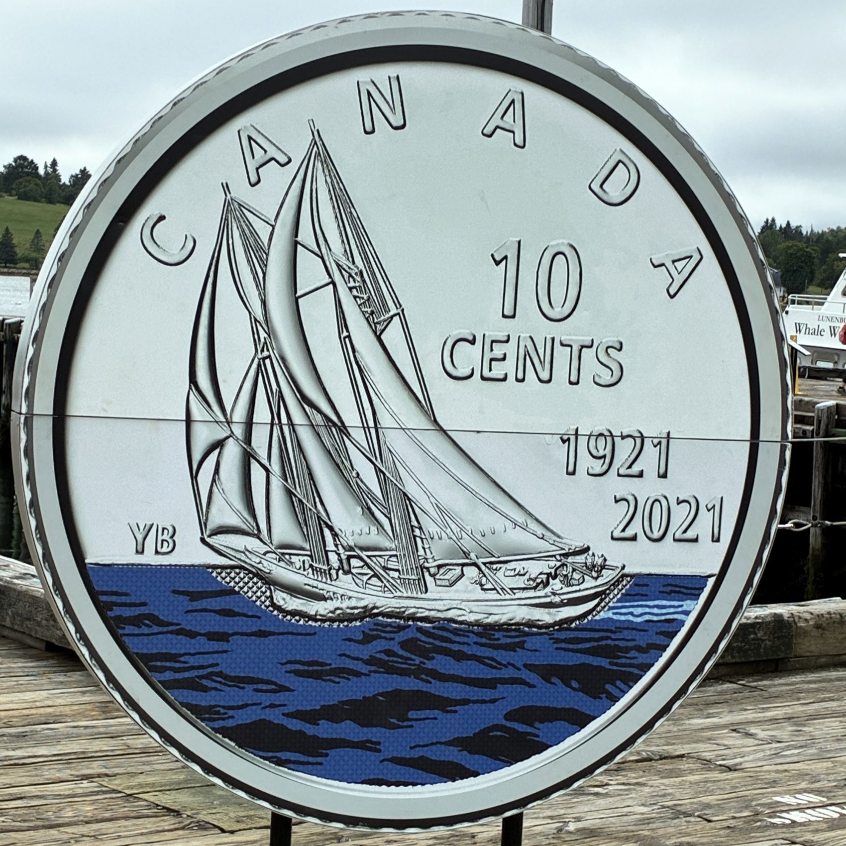
We heard that the Bluenose II was returning on the 31st, so we hoped to be able to see it. The Bluenose is featured on the Canadian dime.
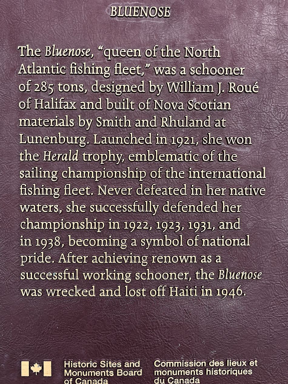
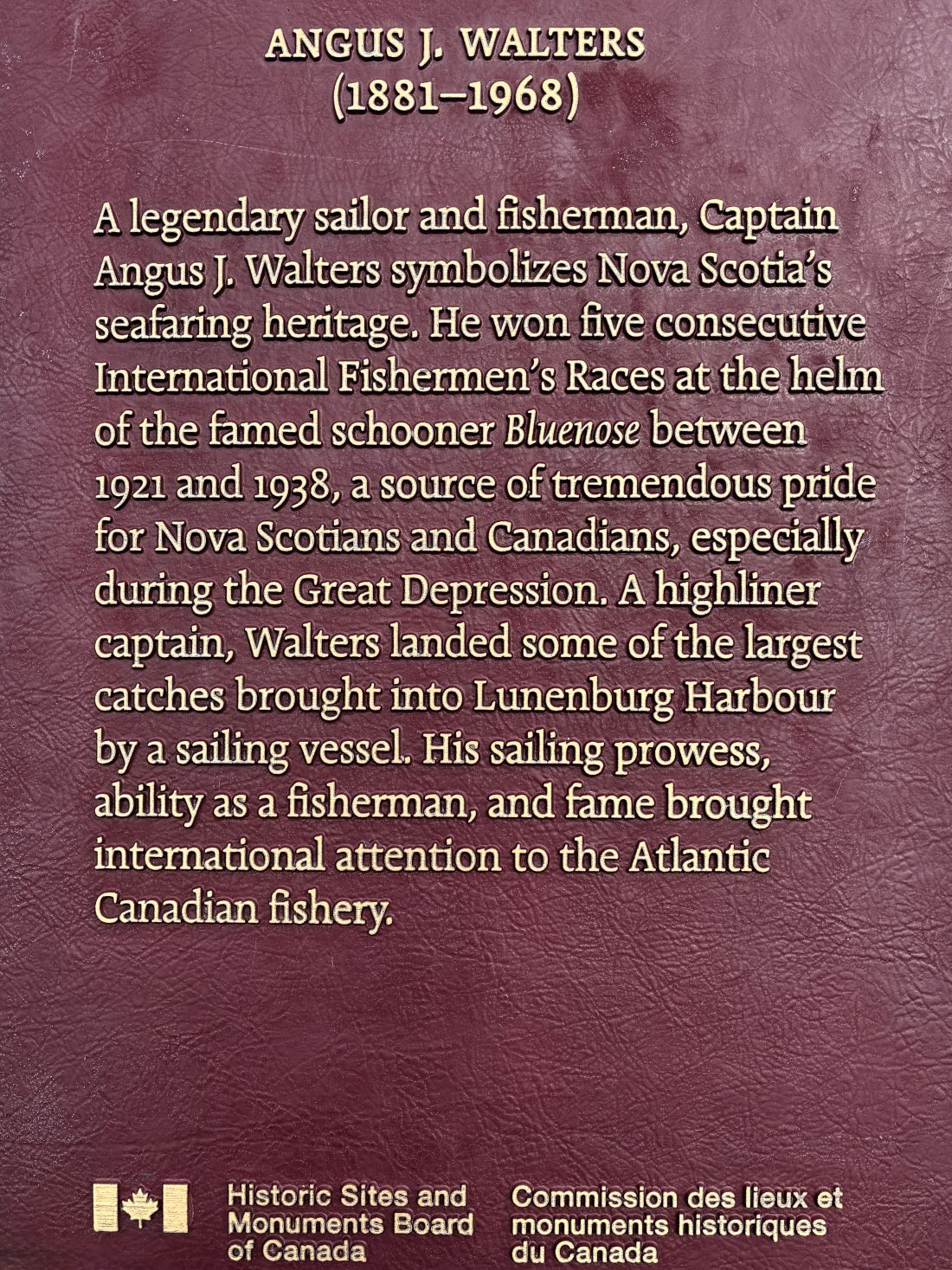
These signs tell of the original Bluenose ship. Nova Scotians are sometimes referred to as “Bluenosers”!
After a while, we walked back up the hill to our campground.
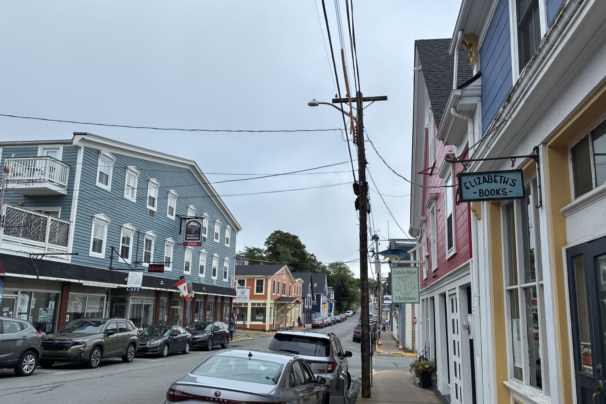
On July 31st, we started our day seeking to find out if we could visit Oak Island. It was only about 18 miles from where we were staying, but rumor had it that no one is allowed on the island without a tour ticket – and those are very hard to come by and only issued for weekend tours! Our nephew Tom is a fan of the TV series The Curse of Oak Island – which we had never heard about, and they film during the week, hence no tours then! We found there was an Oak Island Treasure shop located across from the island itself, so we headed in that direction. The Maps App took us to a building with signage saying it was the Oak Island Treasure Shop, but it was closed, as in out of business…
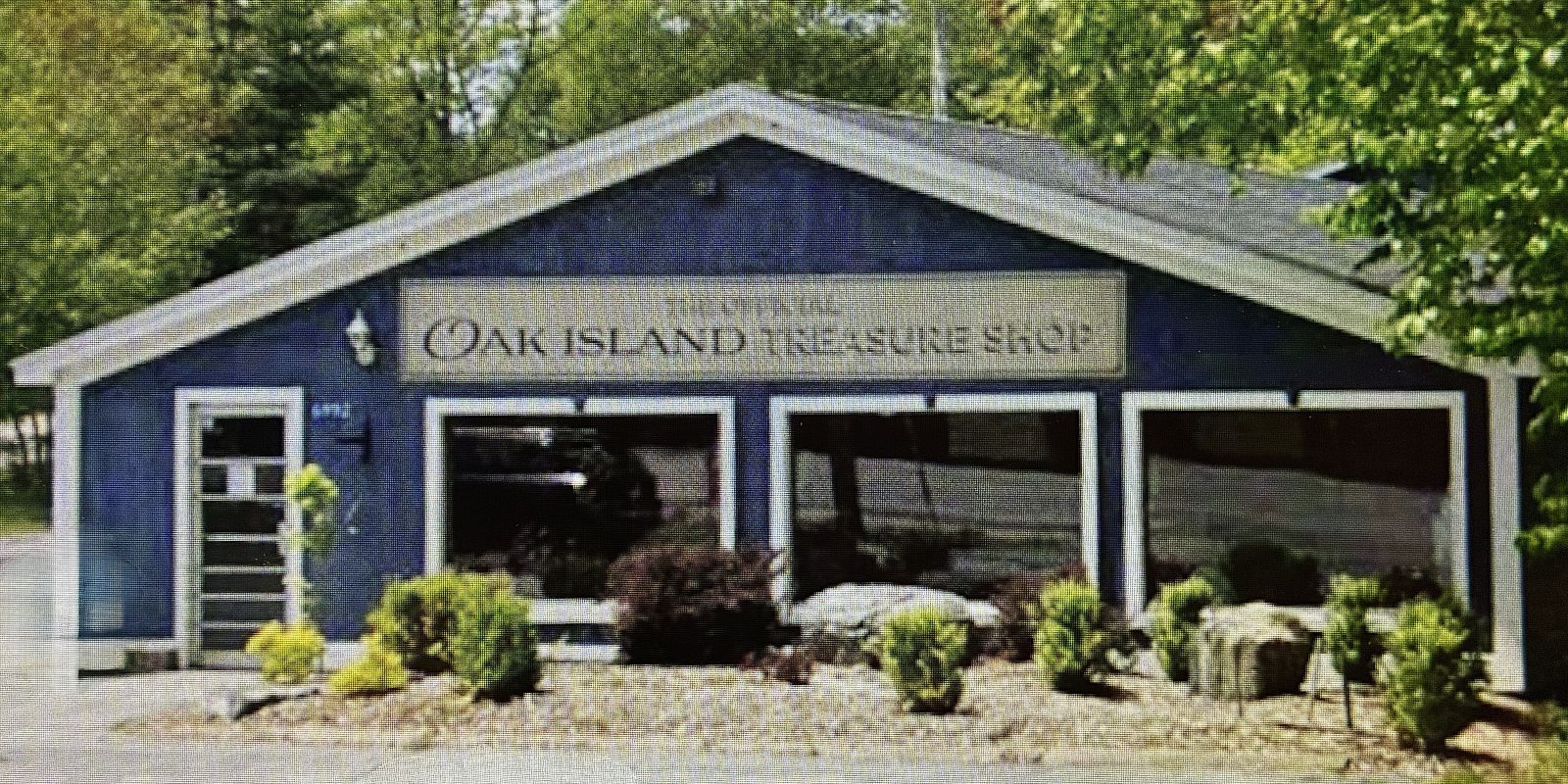
So, we decided to try to go to the island. There was a gravel causeway to get to the island, so we drove on!
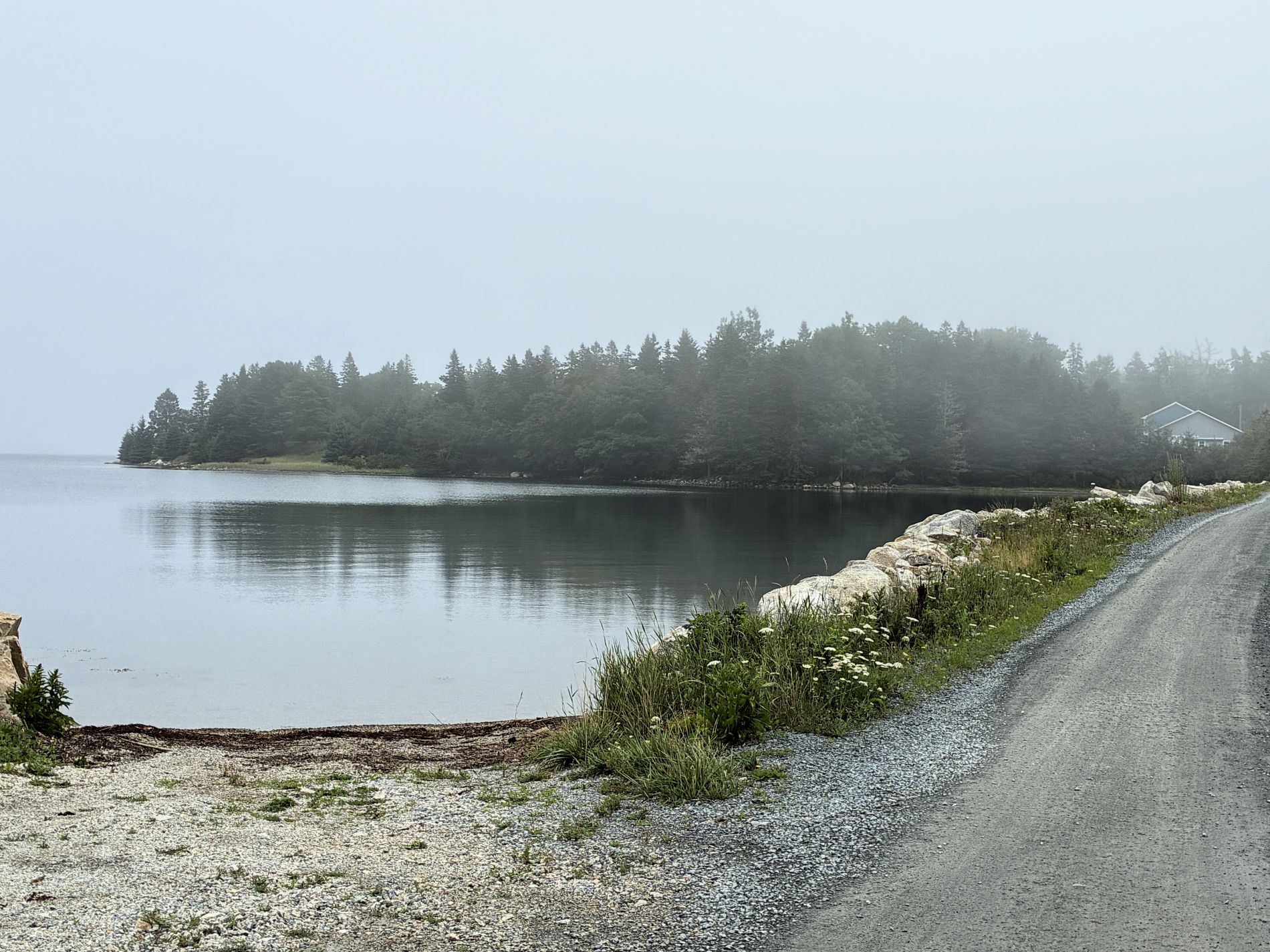
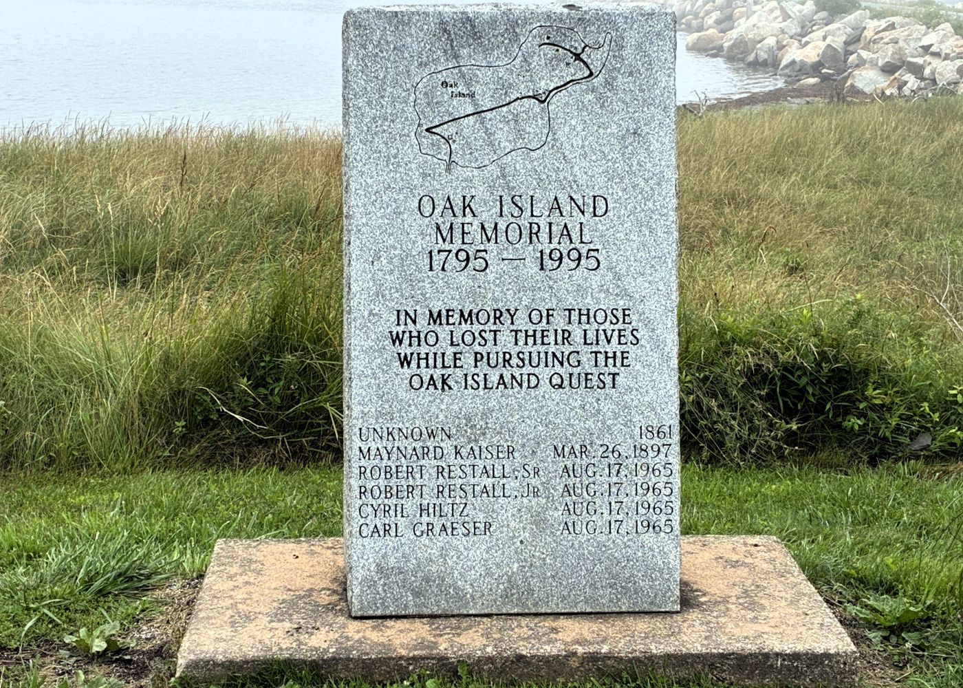
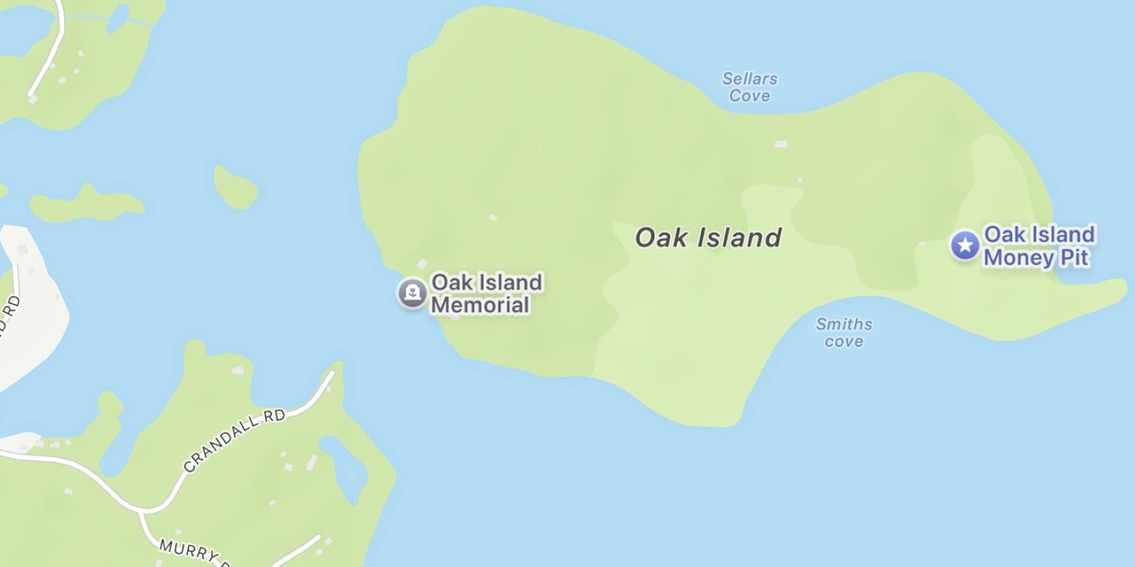
There was a sort of guard shack as we got on the island and we were asked what we intended to do; the gift shop and museum were open and there was a monument by the parking area, but we were not to go any further than that. So, we checked out what we could! The memorial was easy to find.
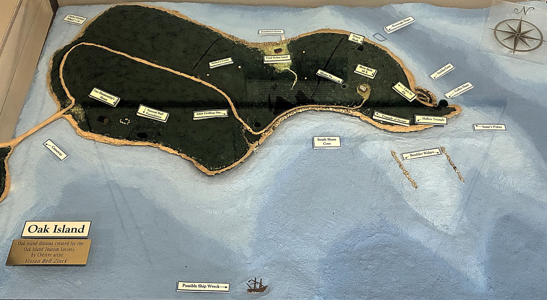
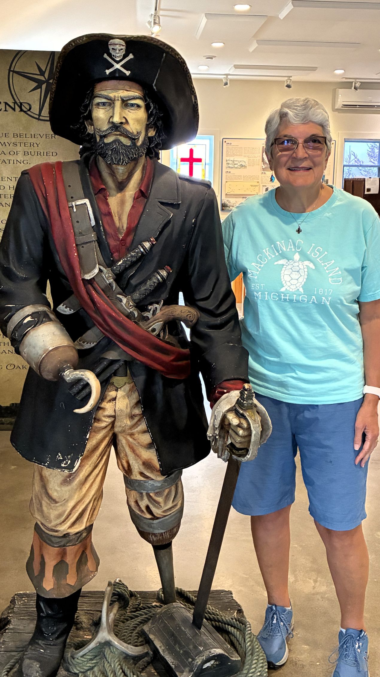
The museum and gift shop were near causeway and had only been open a few months. Lots of interesting things to see. Here is a diorama showing points of interest on the island – which of course we could not see
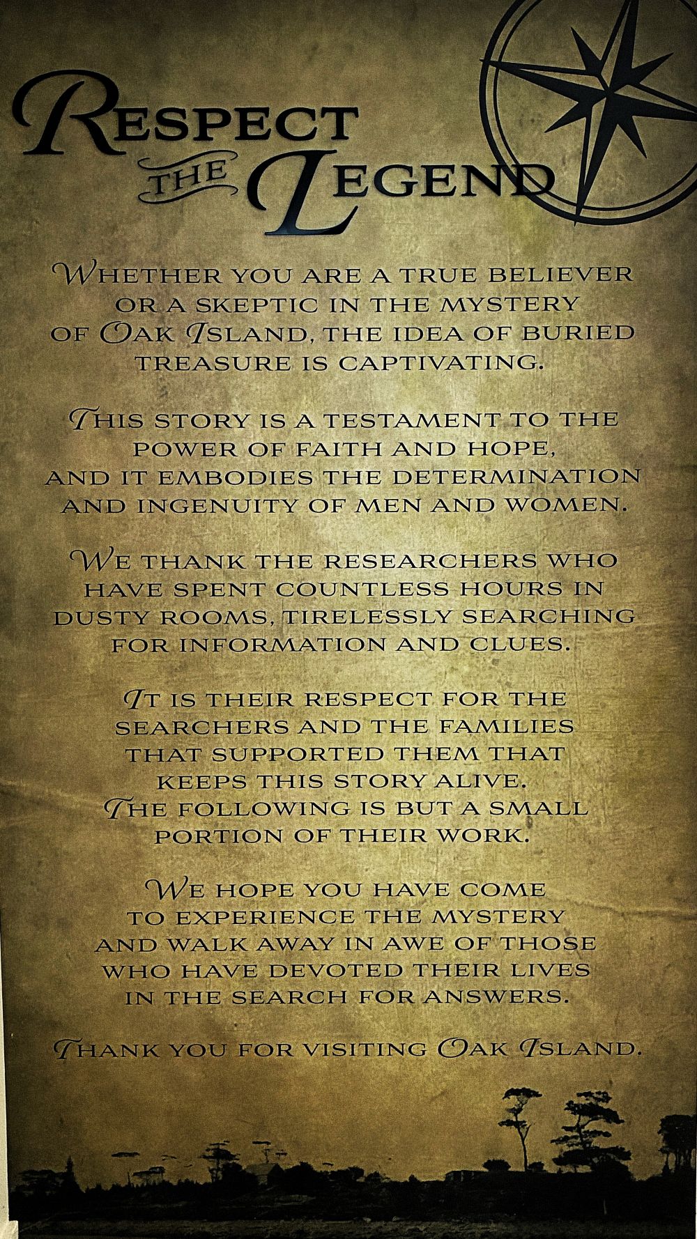
It is thought that Captain William Kidd buried treasure here in the 1600’s, but it’s never been found.
This 1965 article from Readers Digest has a lot of information about the treasure hunt.
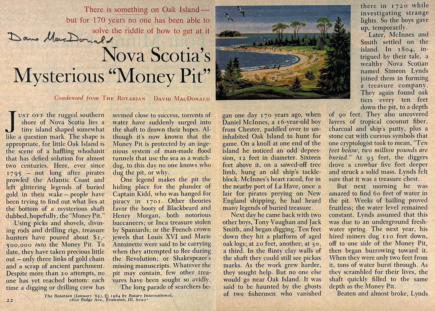
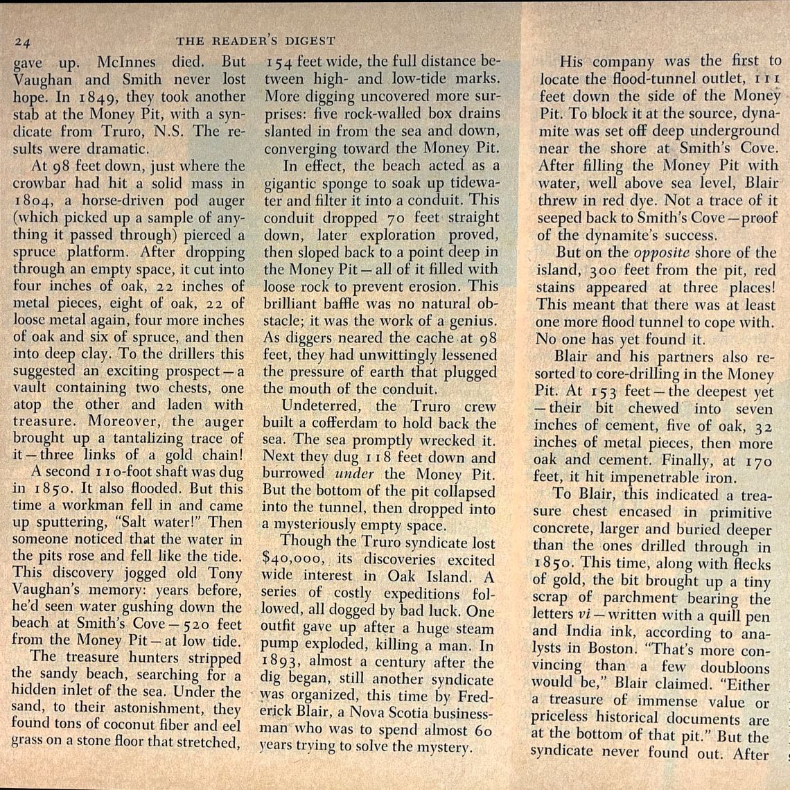
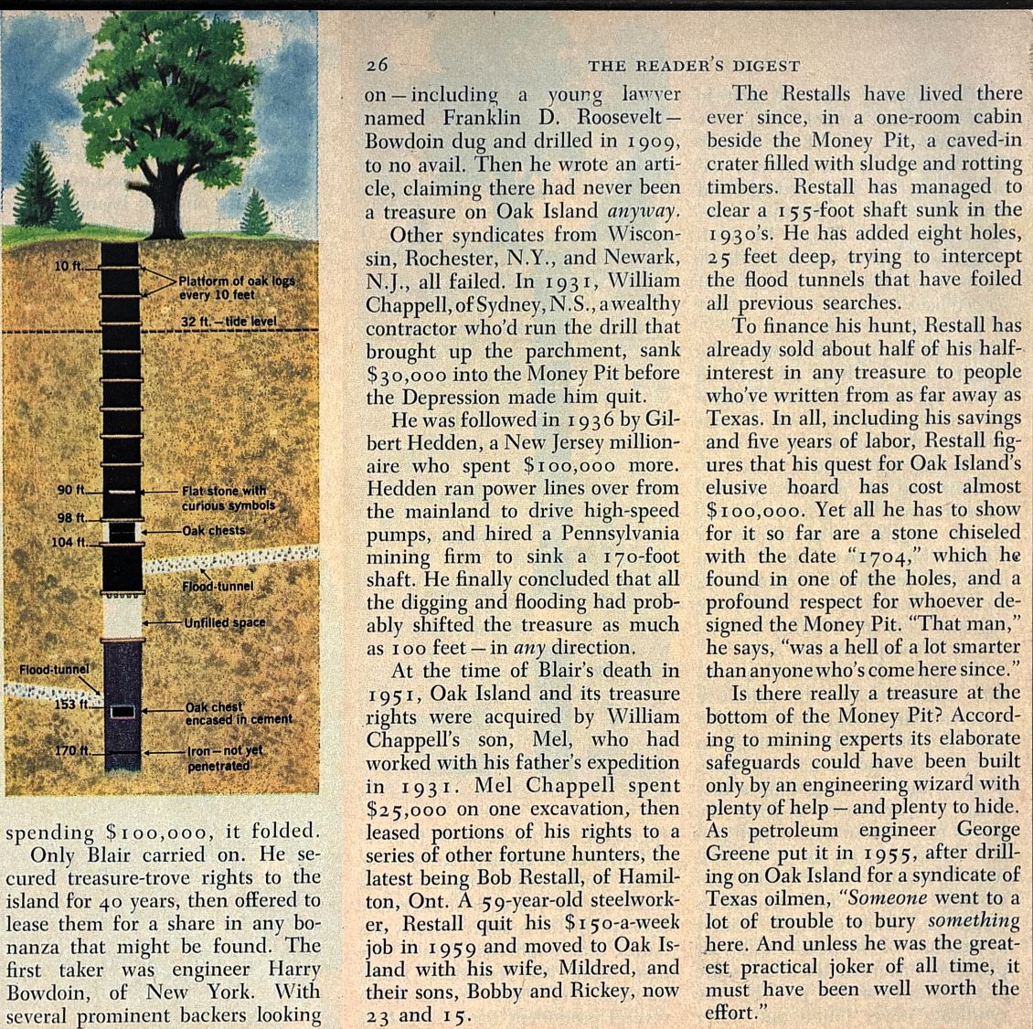
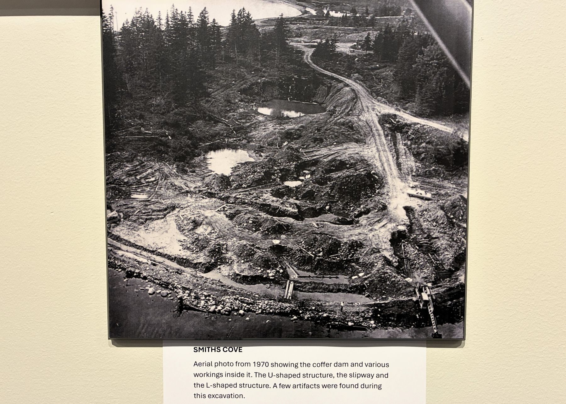
There have been efforts to locate the treasure for over 200 years… this photo is from 1970.
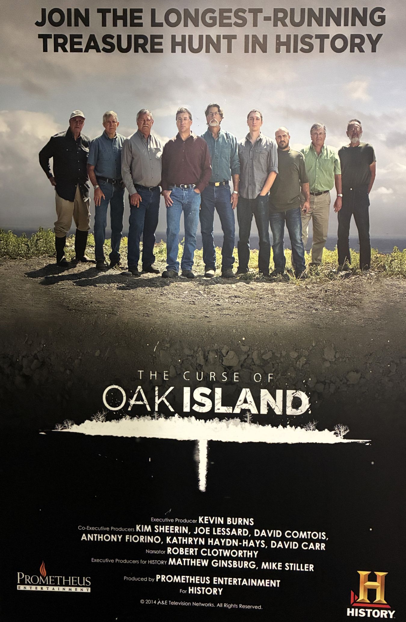
The TV show is in its 13th season – read more about it here.
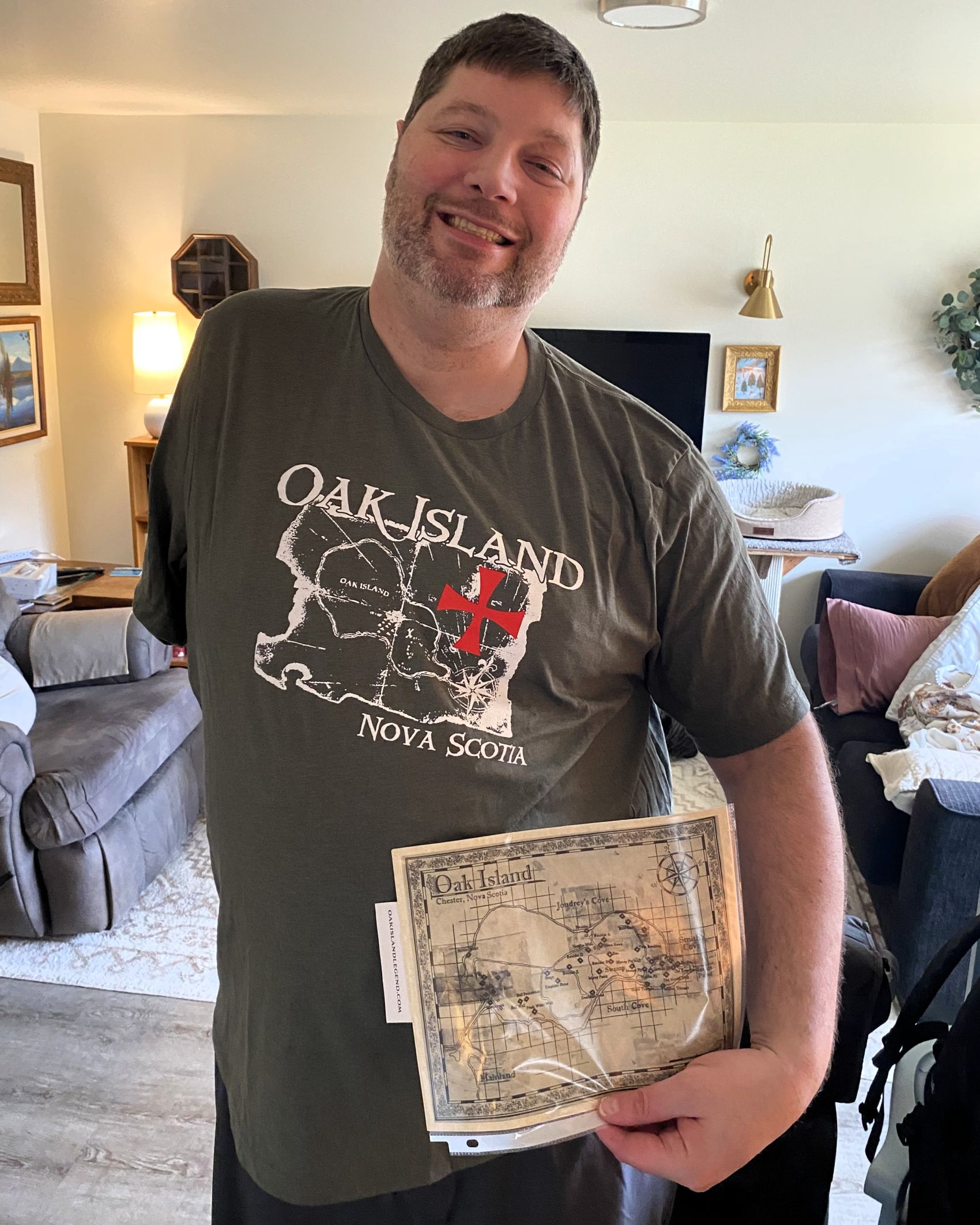
We visited the gift shop and sent some “treasures” to Tom!
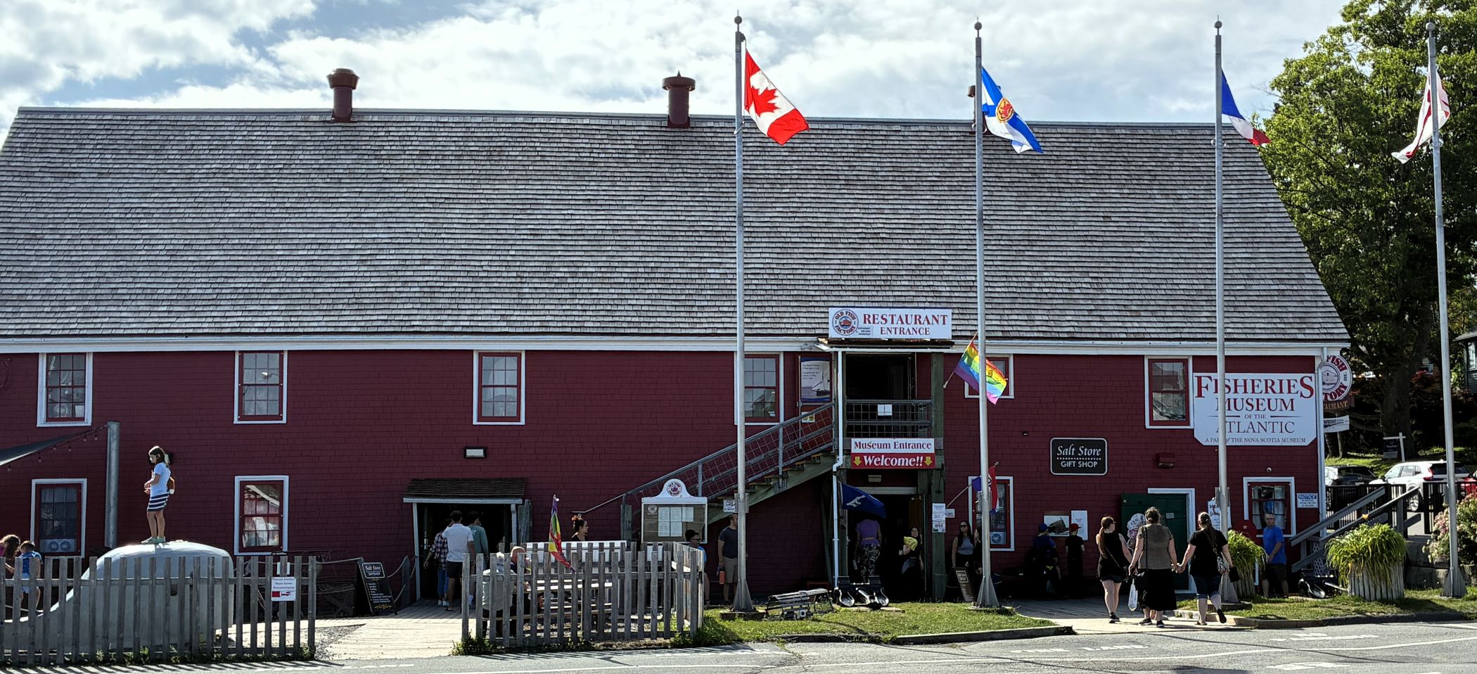
We headed back to Lunenburg. In the afternoon, our group had a guided tour of the Fisheries Museum of the Atlantic; housed in a former fish processing plant.
Ahoy mateys!
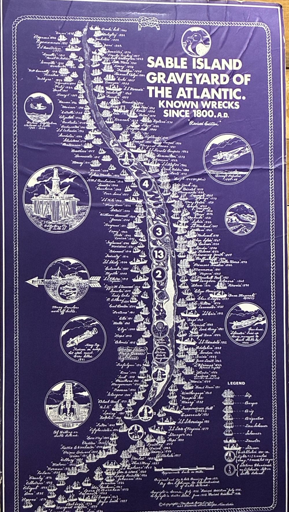
Sable Island is in the North Atlantic Ocean, about 110 miles southeast of the closest point of mainland Nova Scotia. The long narrow island is known for its large number of shipwrecks; an estimated 350 vessels are believed to have fallen victim to the island’s sand bars. Thick fogs, treacherous currents, and the island’s location in the middle of both a major transatlantic shipping route and rich fishing grounds account for the large number of wrecks.
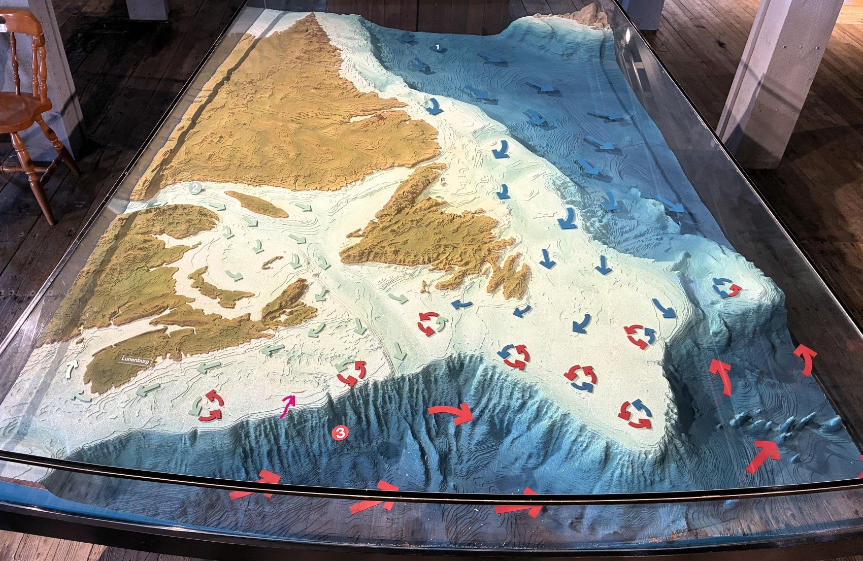
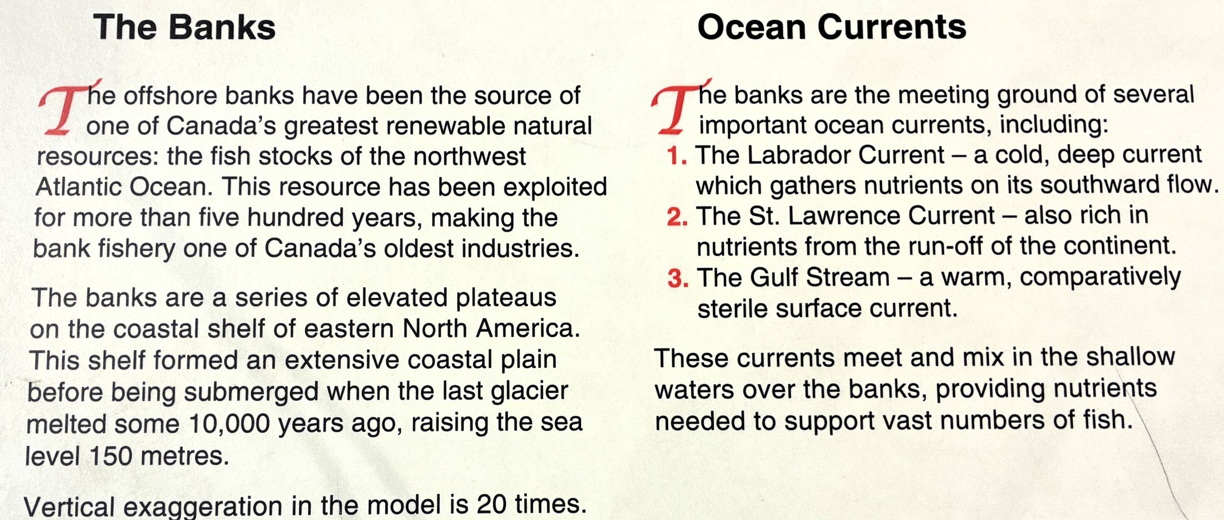
Here is a model of the Canadian Atlantic area.
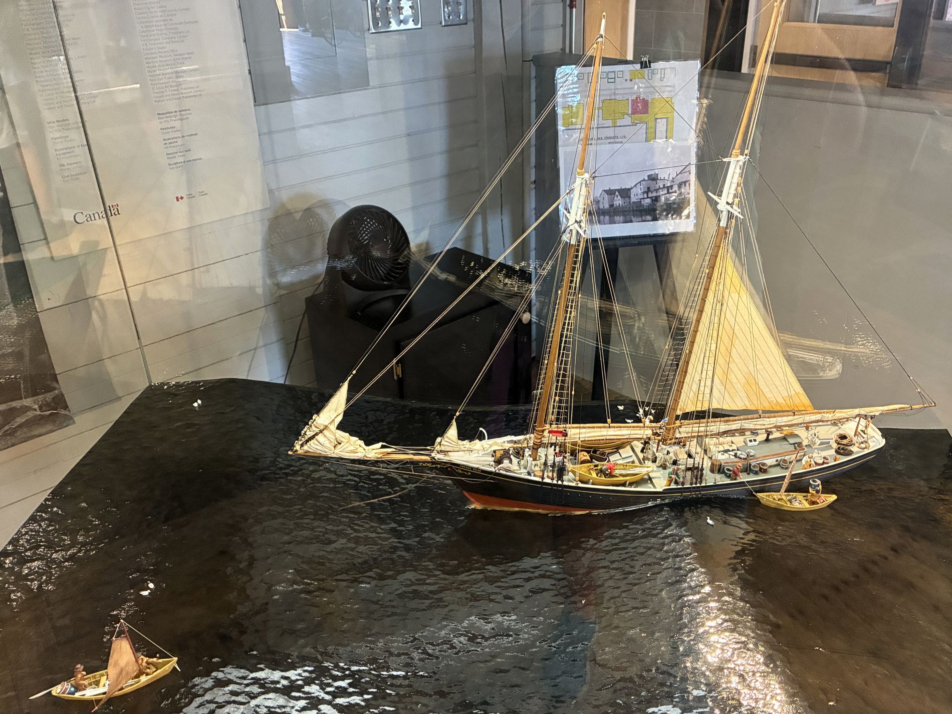
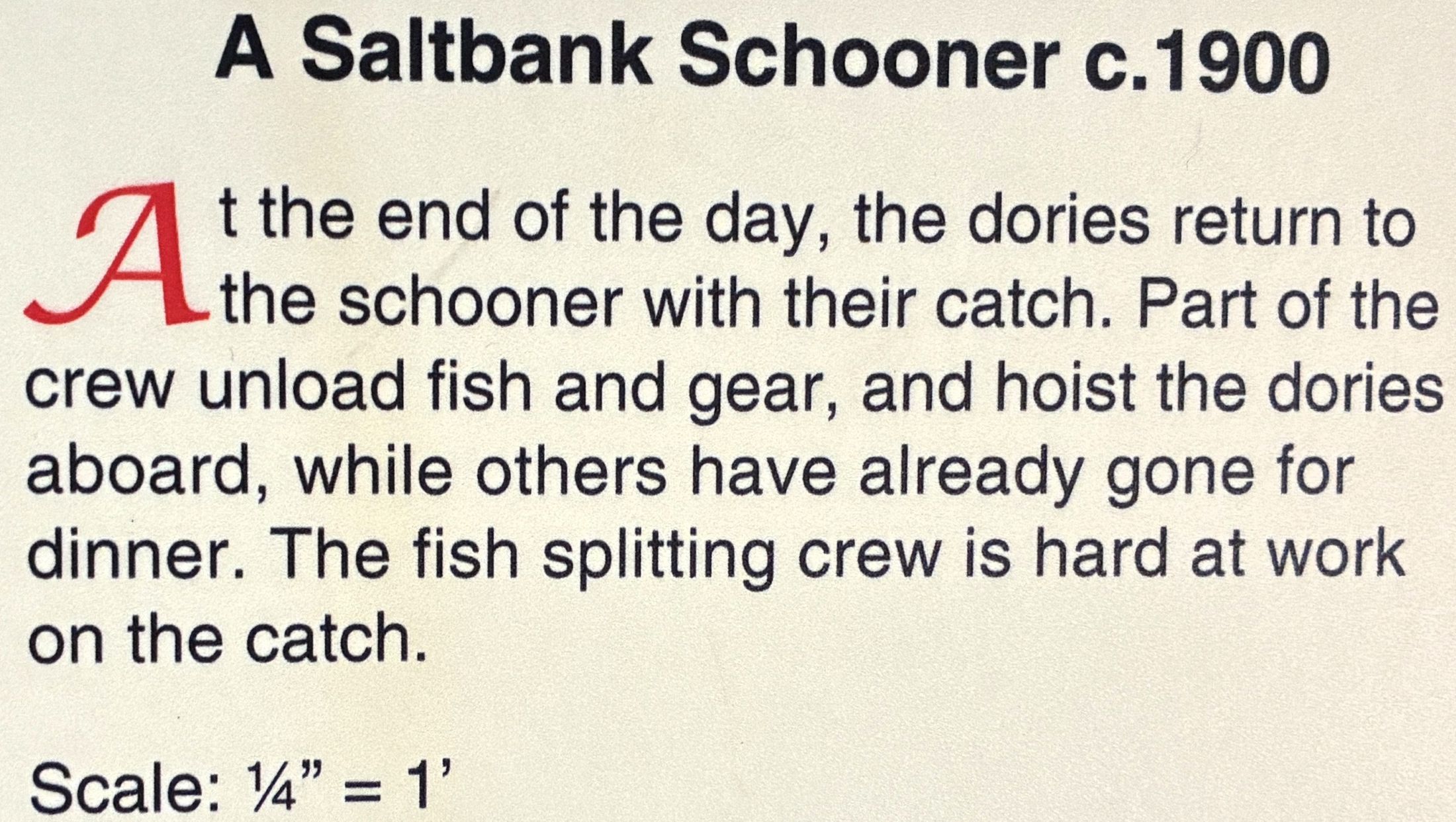
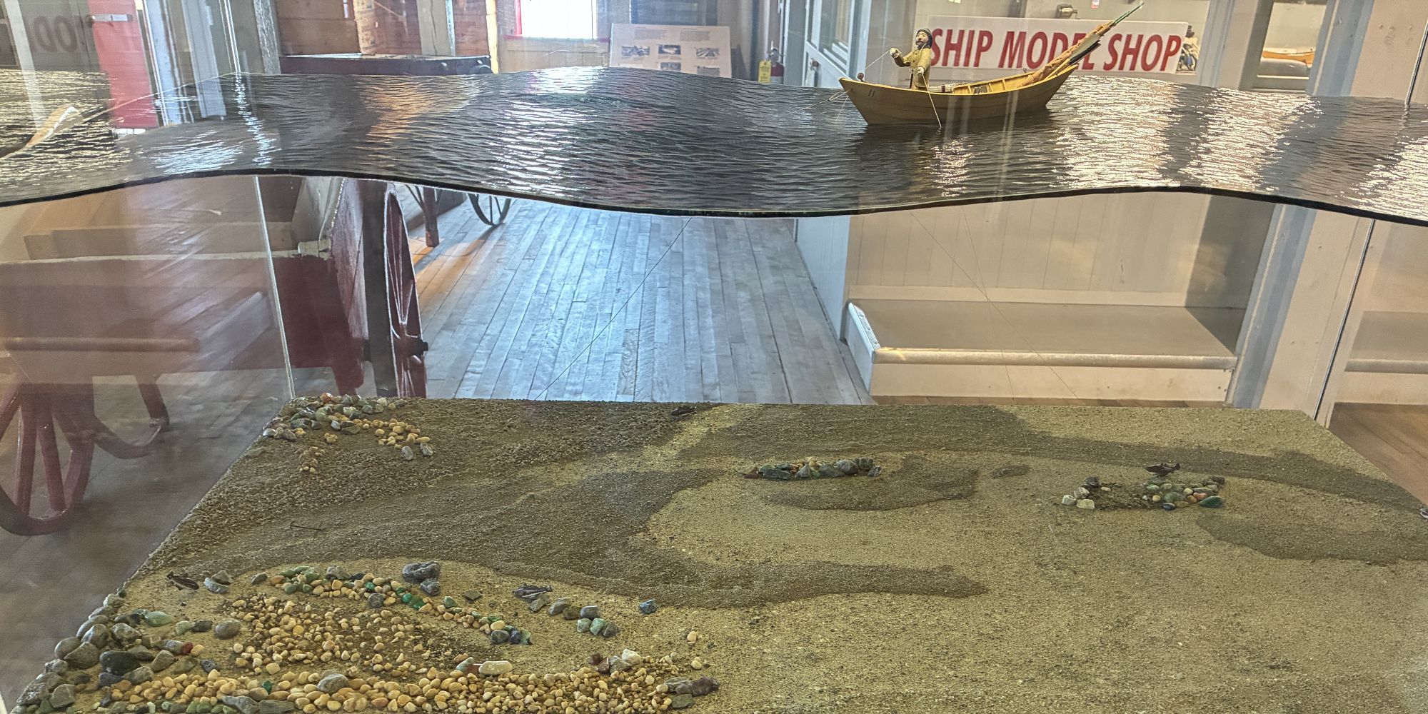
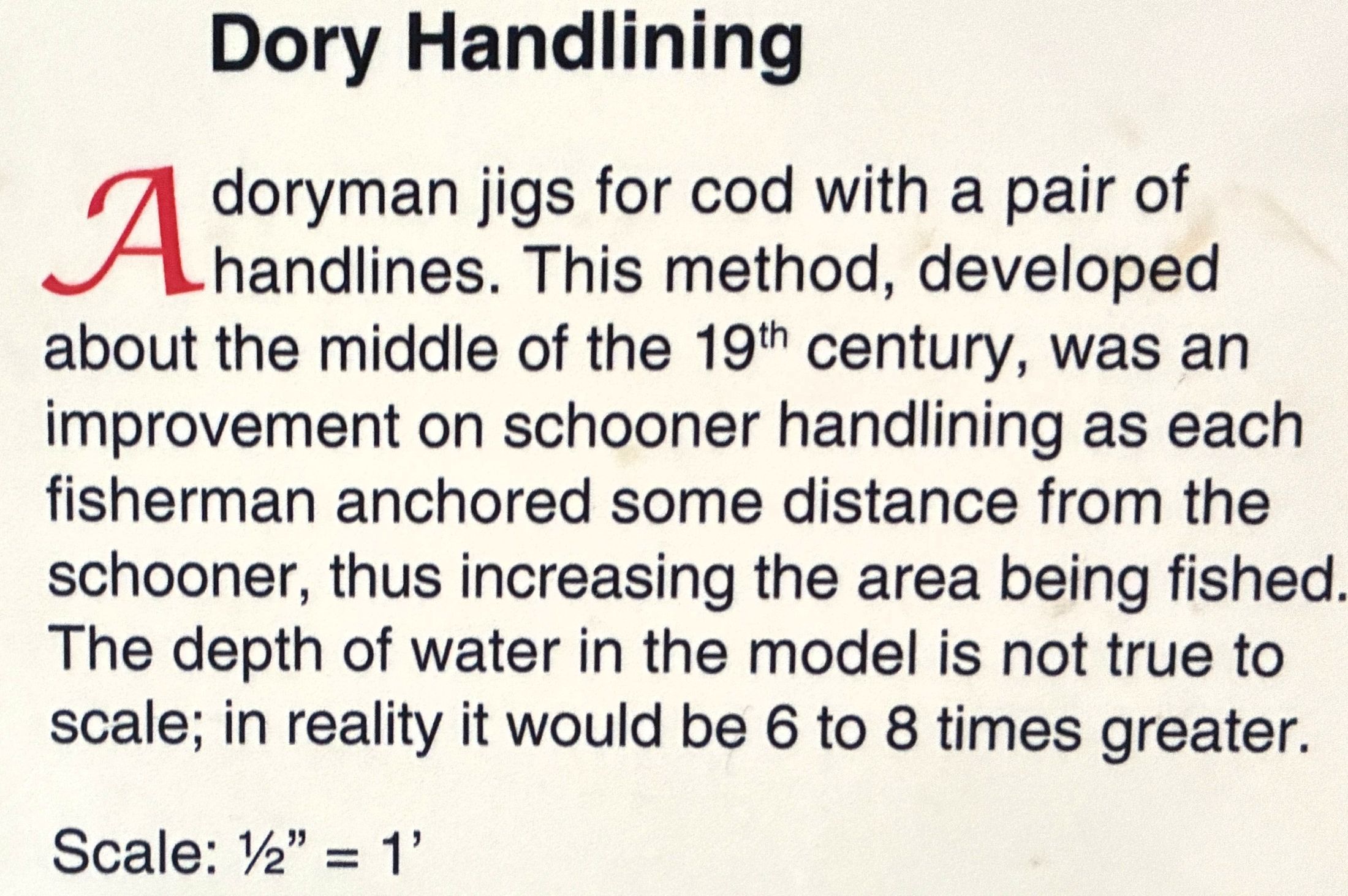
This model shows how dories were used with schooners to increase the catch from fishing strictly from the schooner. The fishing lines – or trawls – with hundreds of hooks on them, don’t show up well in the photo…
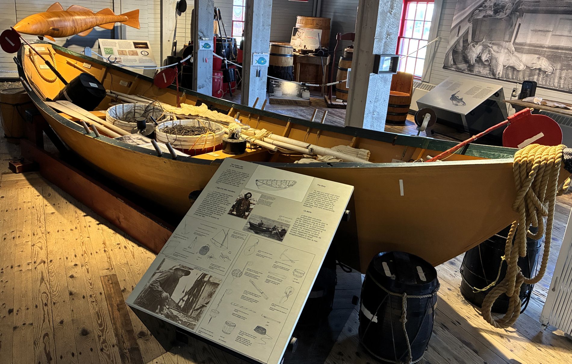
Here is a dory – it could be rowed or set to sail, with 2 men on board they greatly increased the number of fish caught. These small crafts were ideal for bank fishery; they could carry large loads of fish and were exceptionally seaworthy. They could be stacked one inside the other on the crowded deck of a schooner.
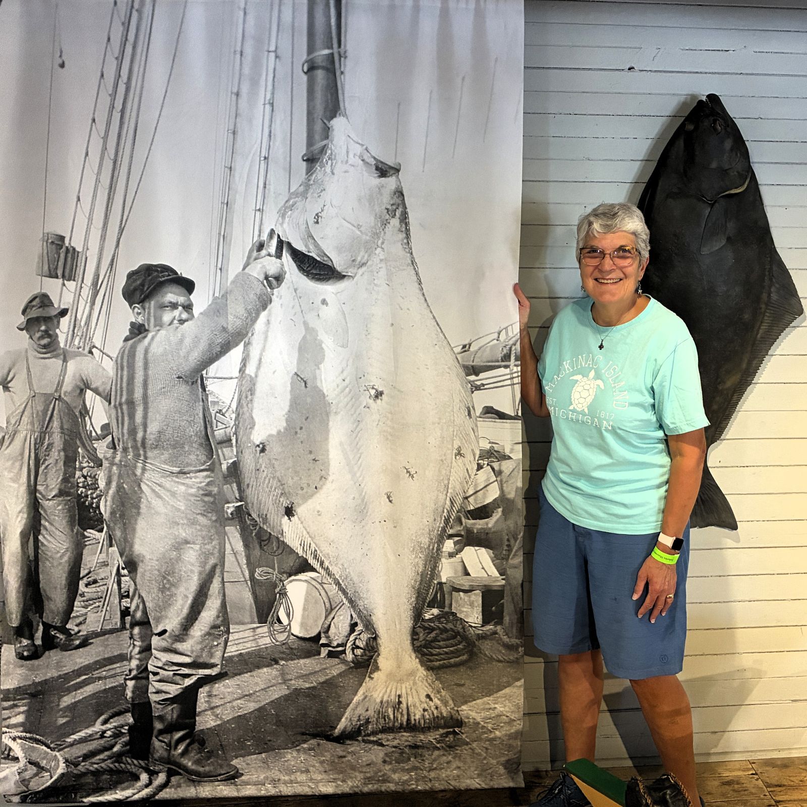
Whoa! That was quite a catch!
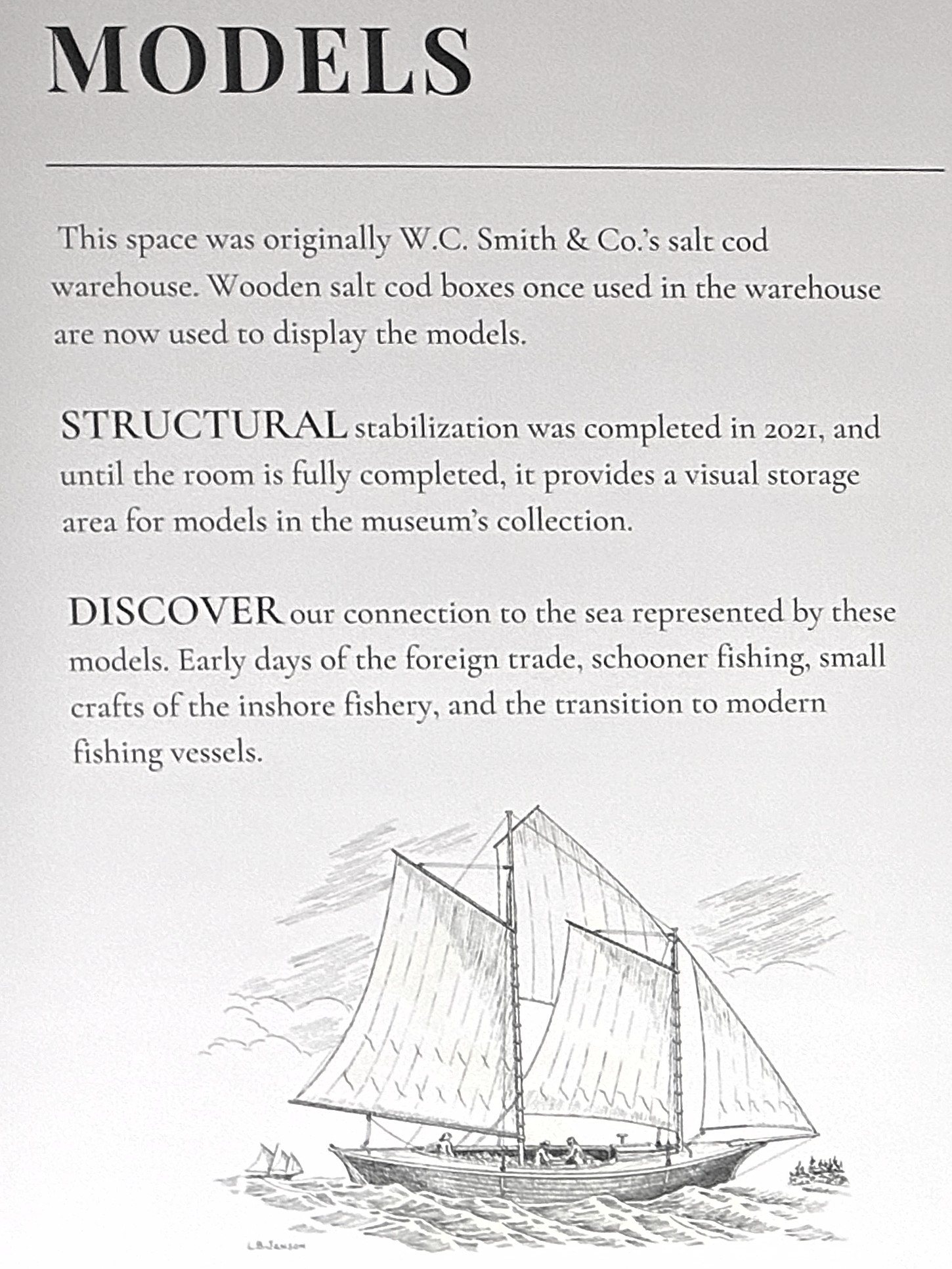
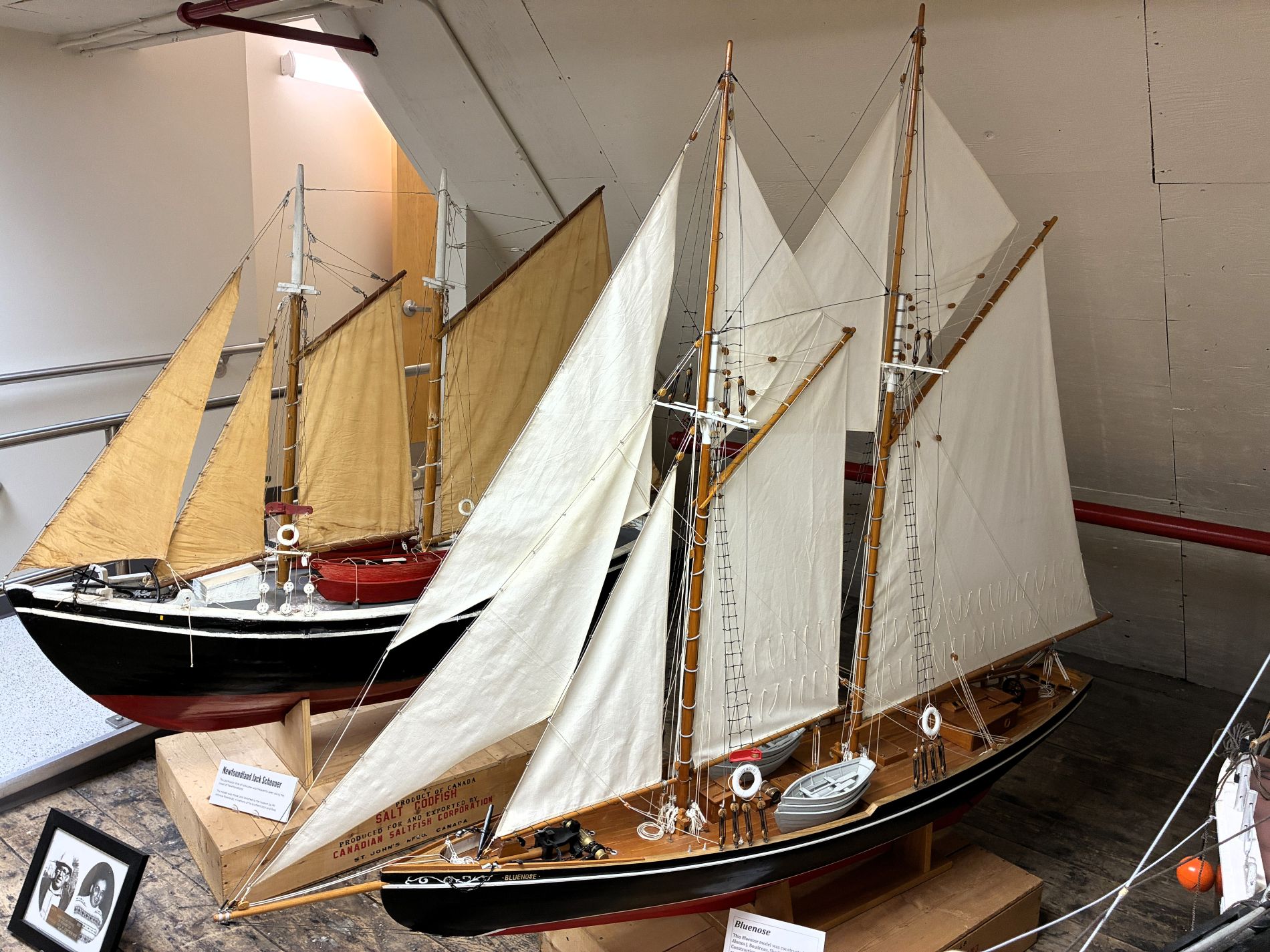
There were several models of old fishing boats sitting on wooden salt cod boxes that used to be used to ship fish from this warehouse.
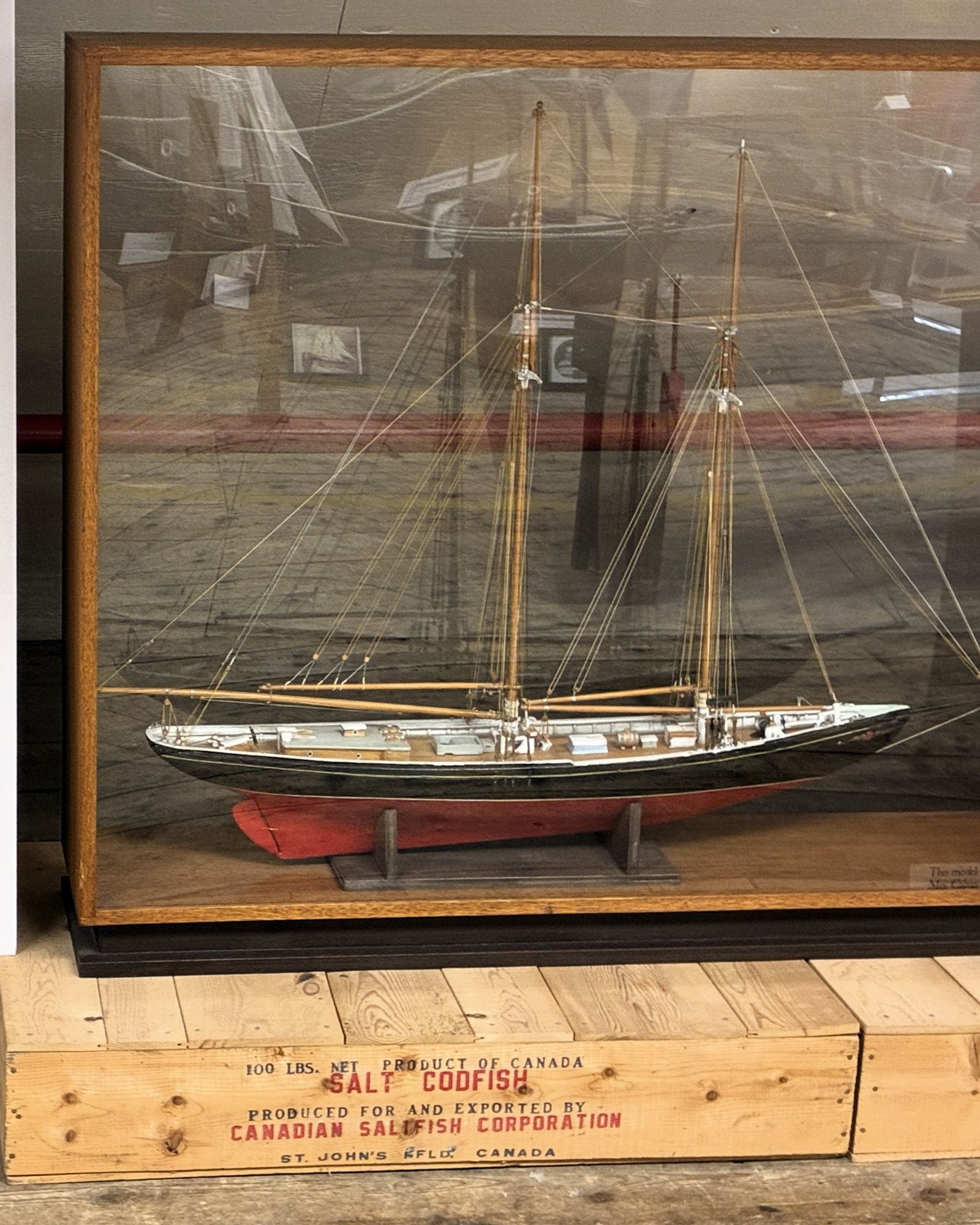
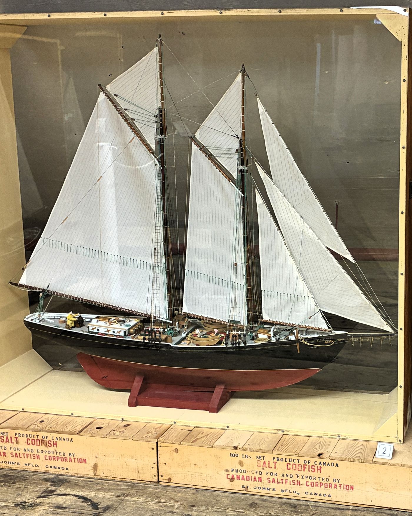
On the left below, a model of a Newfoundland Jack Schooner – a type frequently seen along the coast of Newfoundland. On the right, a model of Bluenose constructed by Alonzo J Boudreau of Shediac, NB. Commenced in 1973, it was completed in 1977 and generously donated in 1979.
More history of the Bluenose; launched in 1921 and lost in 1946.
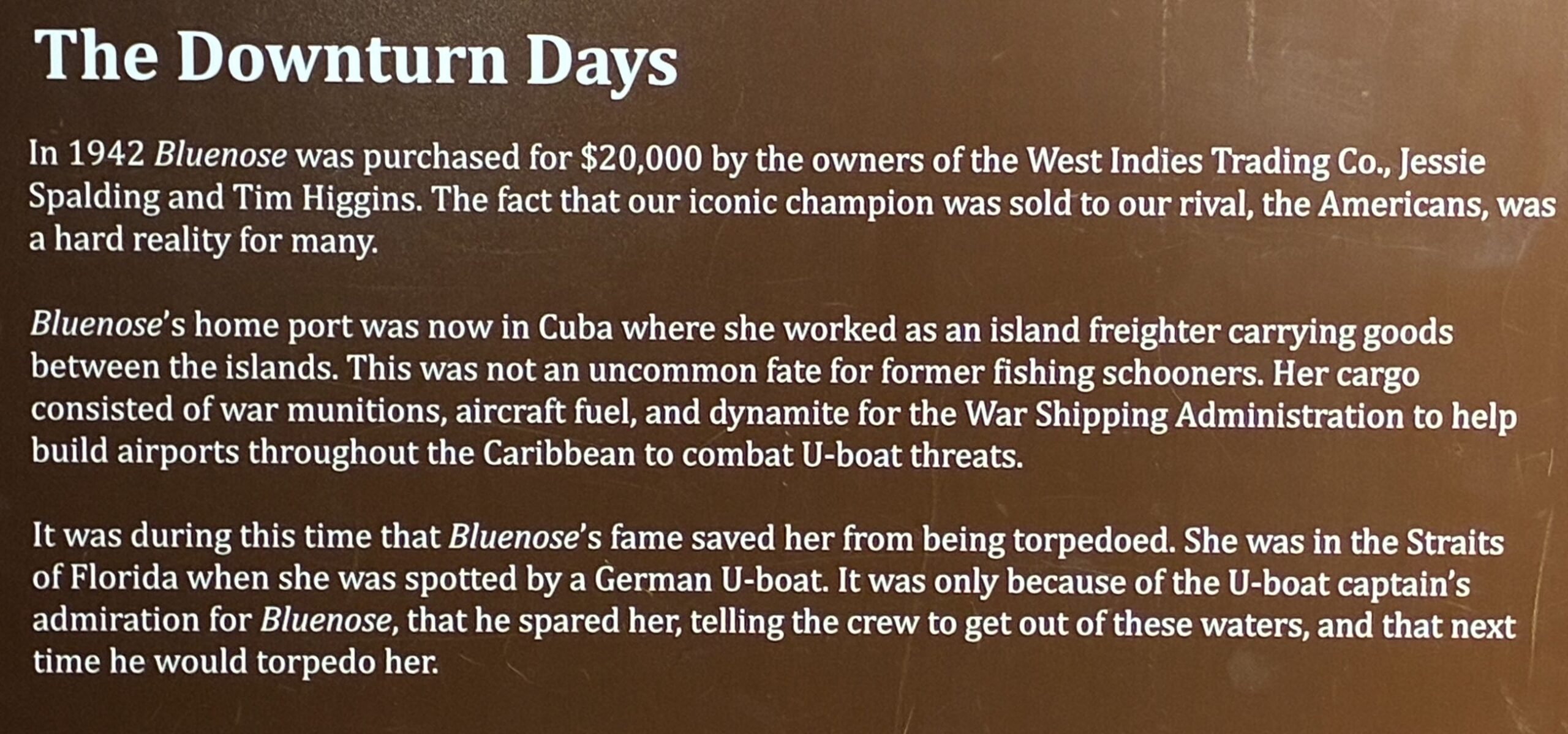
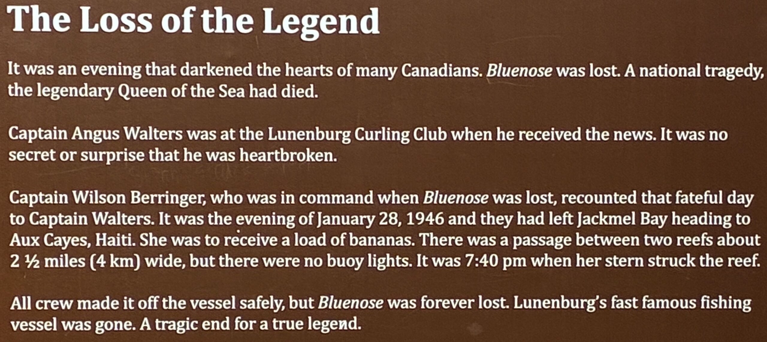
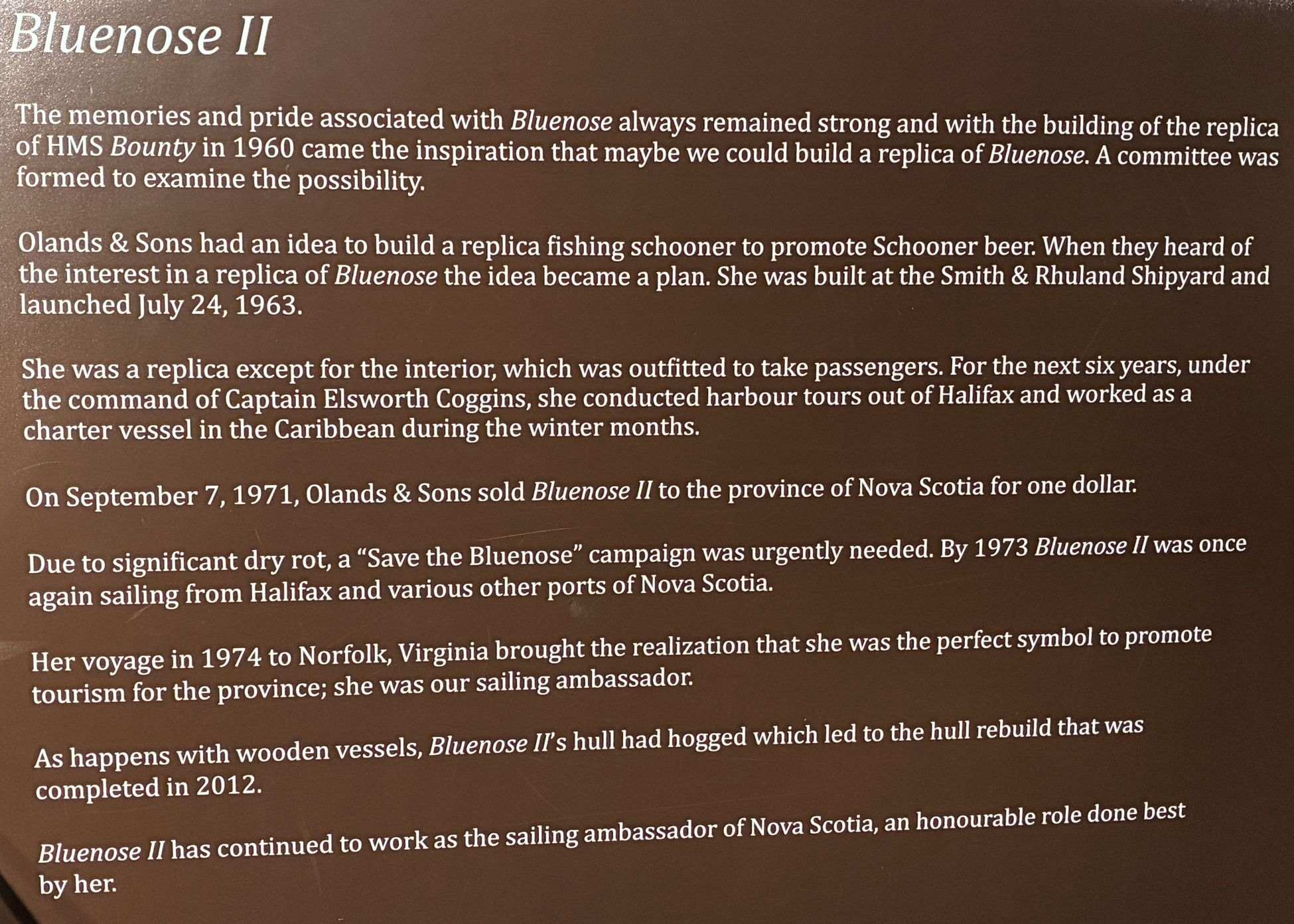
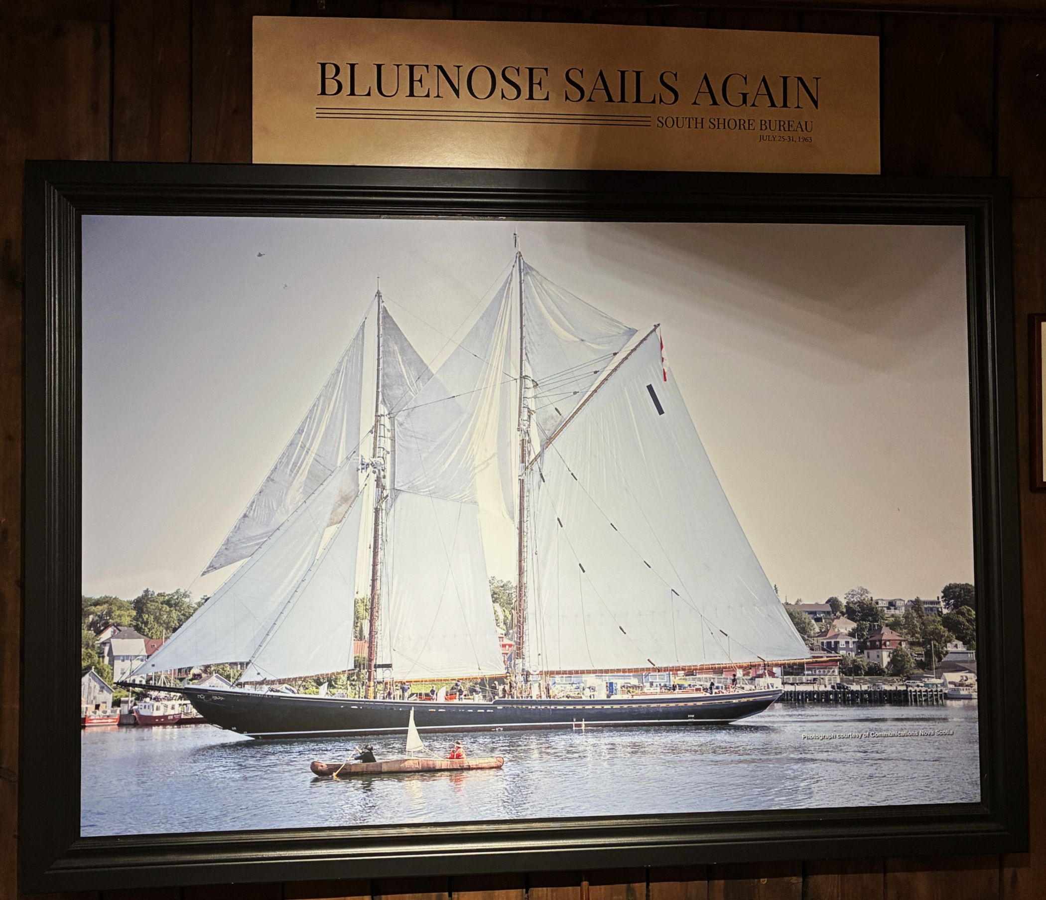
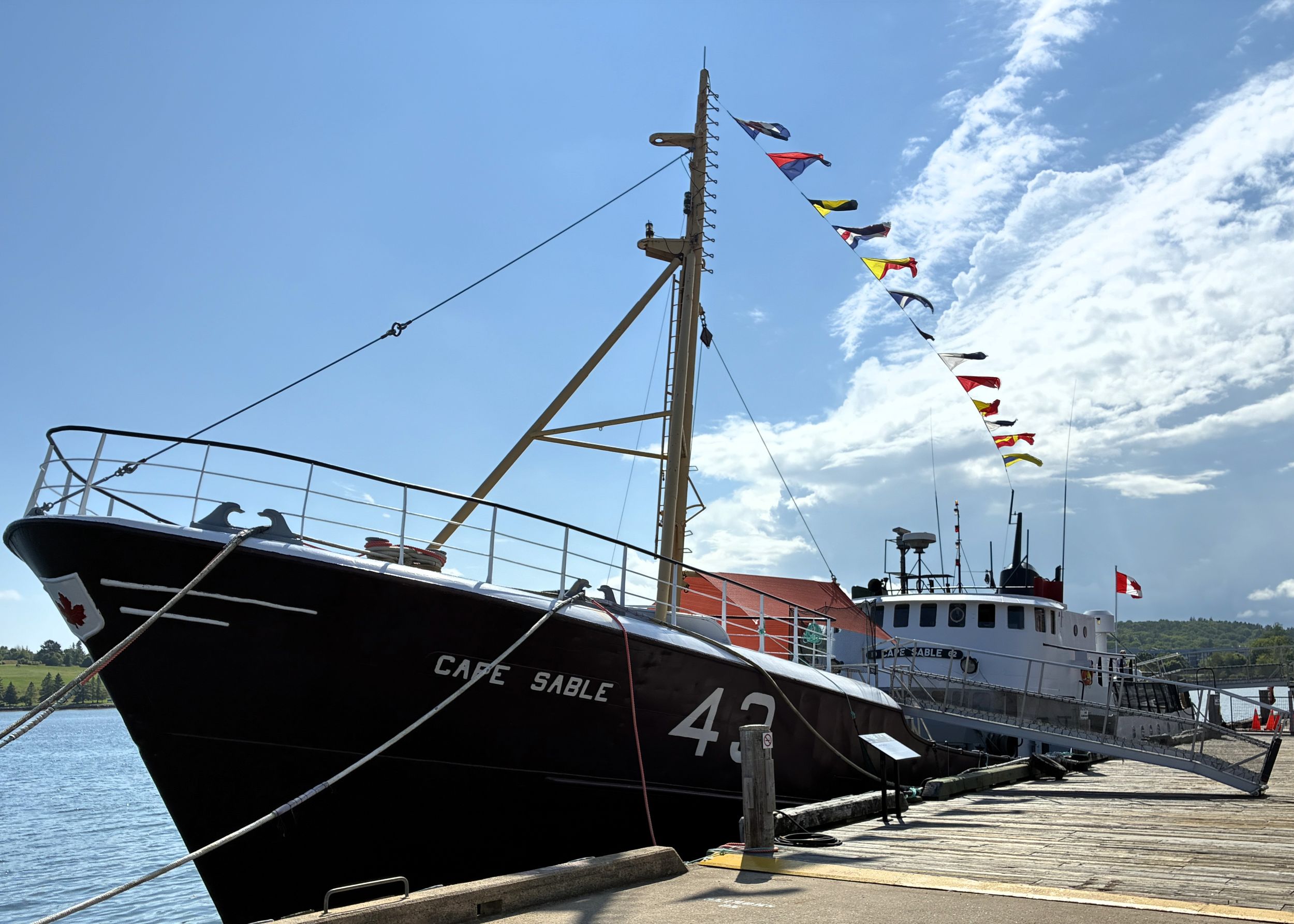
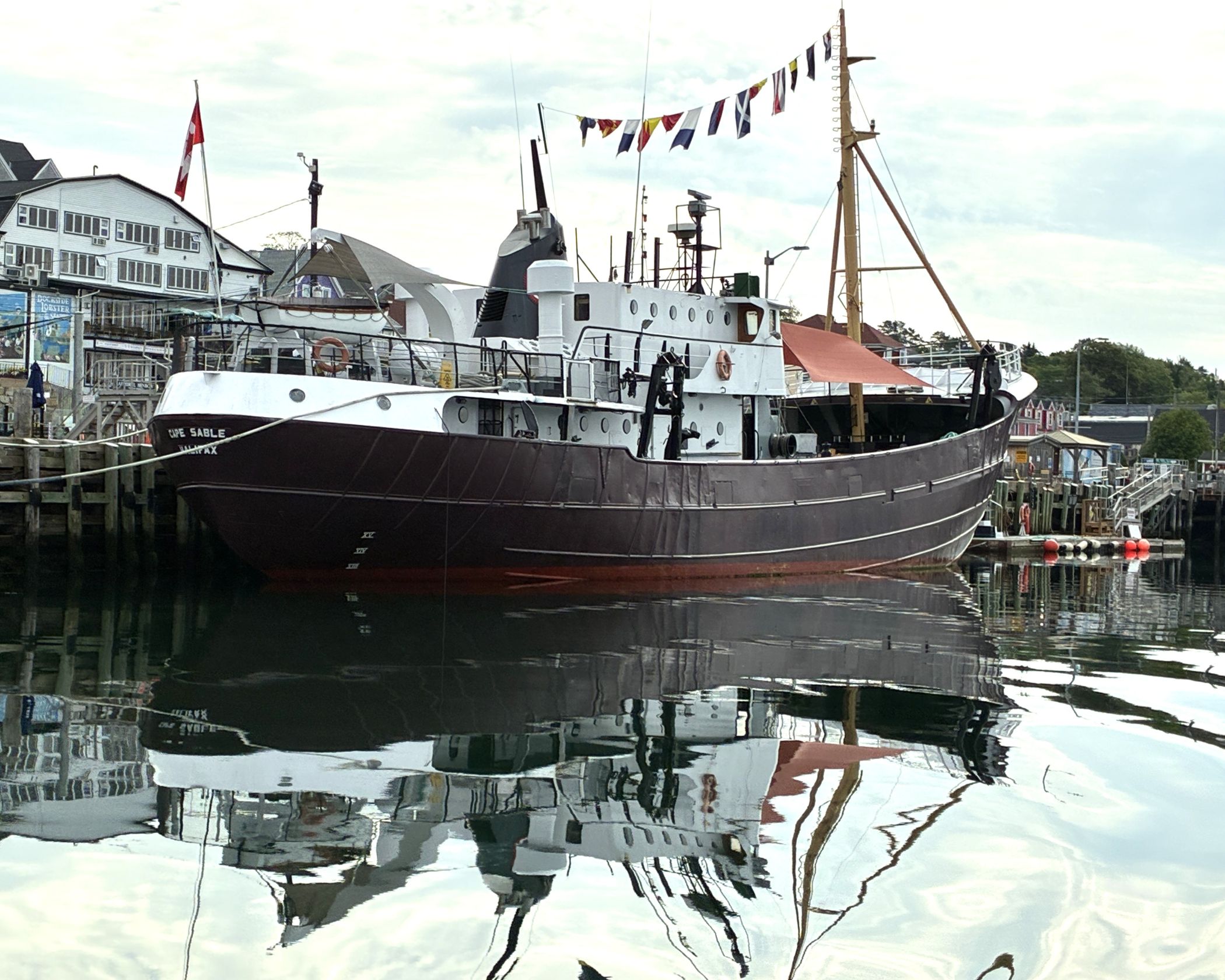
There was so much to see in this museum! At the turn of 20th century, technology began to revolutionize the fishing industry. Steam power, and later diesel engines, brought an end to the exclusive reign of sail. These new vessels were faster, more powerful, and could carry larger catches, drastically altering fishing methods. Trawlers, equipped with large nets that could be dragged along the seabed, became increasingly common, replacing the more labor-intensive dory fishing method. Definitely worth a visit if you ever get to Lunenburg! We went outside to see the Cape Sable – a wooden trawler, showcasing the transition from sail to motor.
Built in 1962, Cape Sable used a large conical trawl net towed for 2–4 hours, with hauls averaging 1,000 lbs. Trips lasted 10–12 days, with crews of about 18 people working in rotating watches. The vessel could carry up to 300,000 lbs. of fish. She fished for 20 years, landing over 40 million lbs. of fish, before being retired when side trawlers were replaced by stern trawlers.
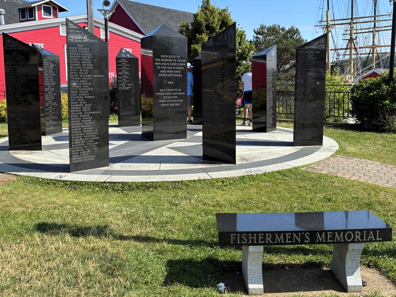
Nearby was a Fishermen’s Memorial, “Dedicated to the memory of those who have gone down to the sea in ships and who have never returned – and – as a tribute to those who continue to occupy their business in the great waters”
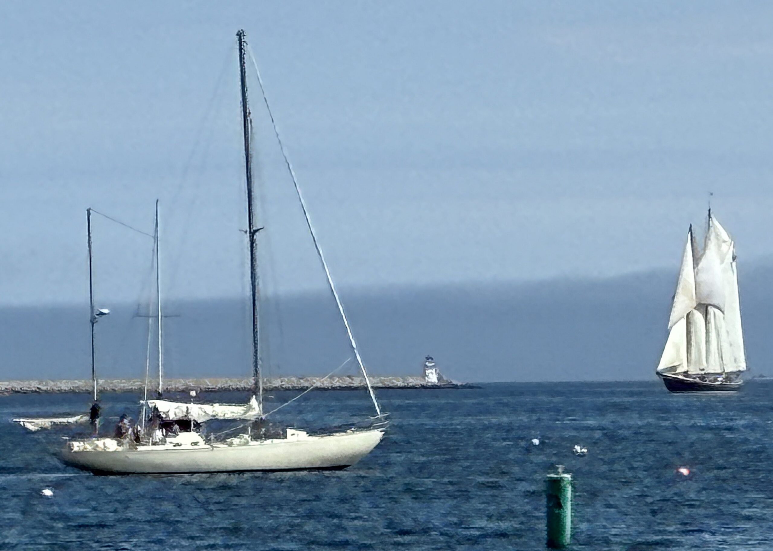
We knew the Bluenose II was due in that day, and we spotted her nearly on the horizon with her sails up!
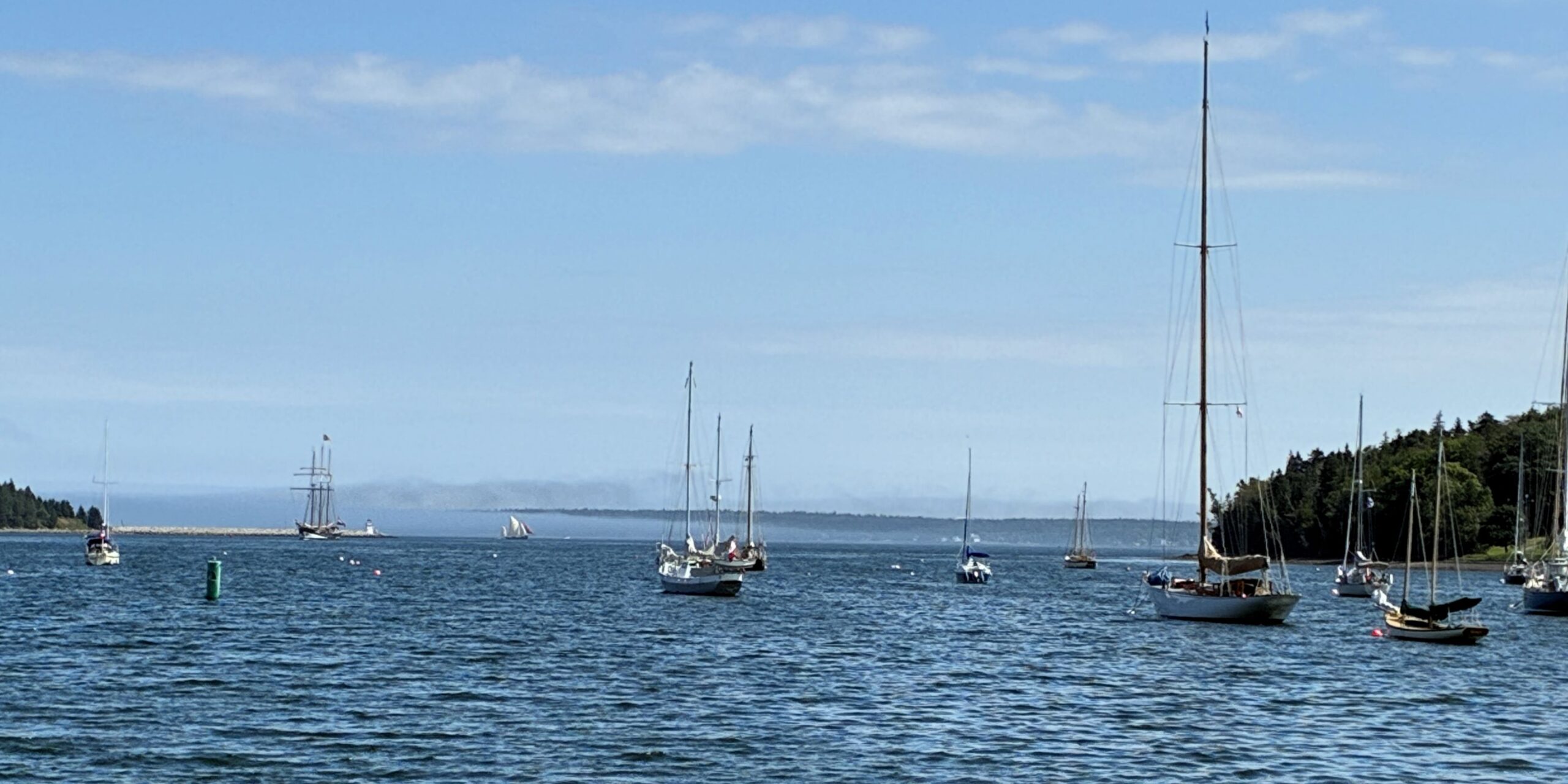
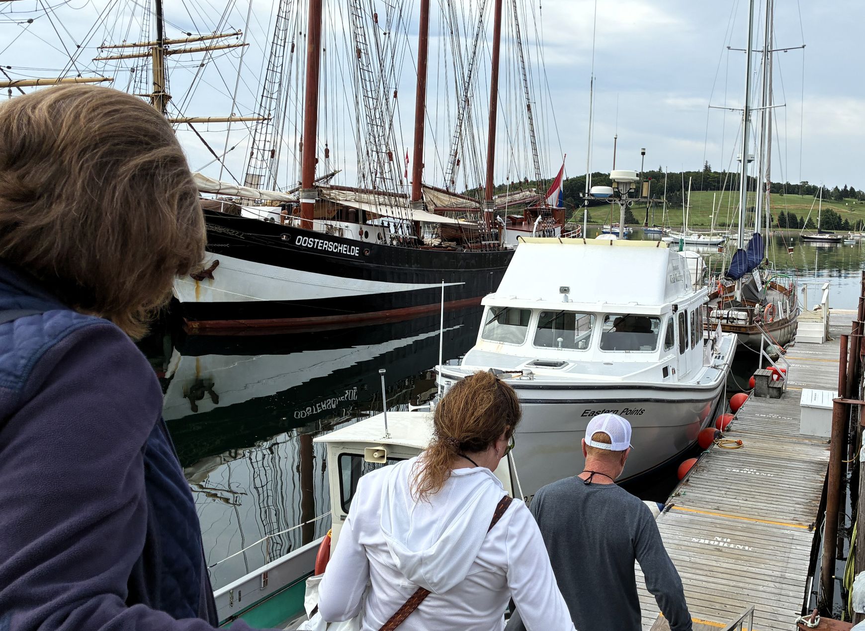
Just ahead of her was the Oosterschelde, a restored three-masted 164-foot top-sail schooner, built in 1918. We watched as they both headed to the docks.
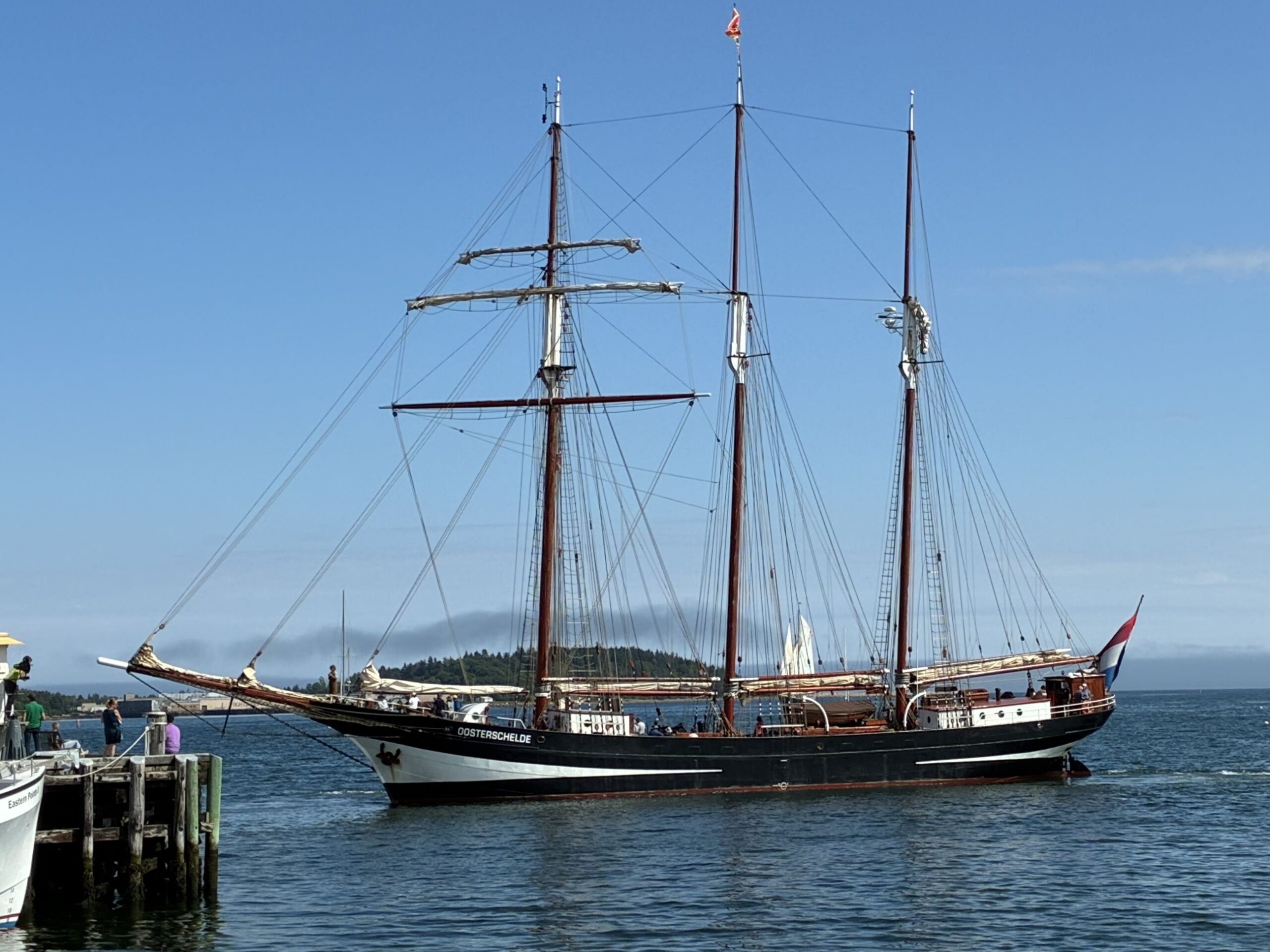
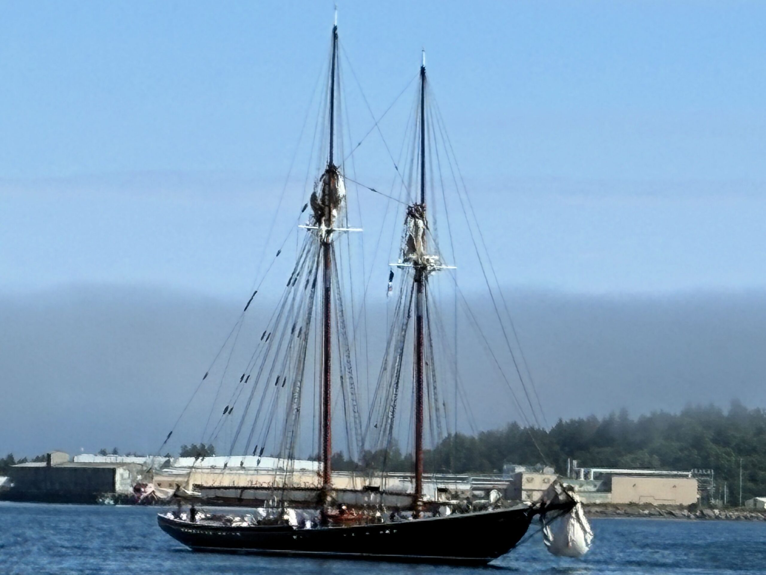
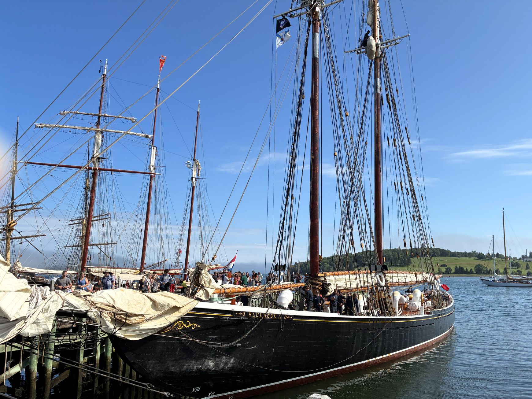
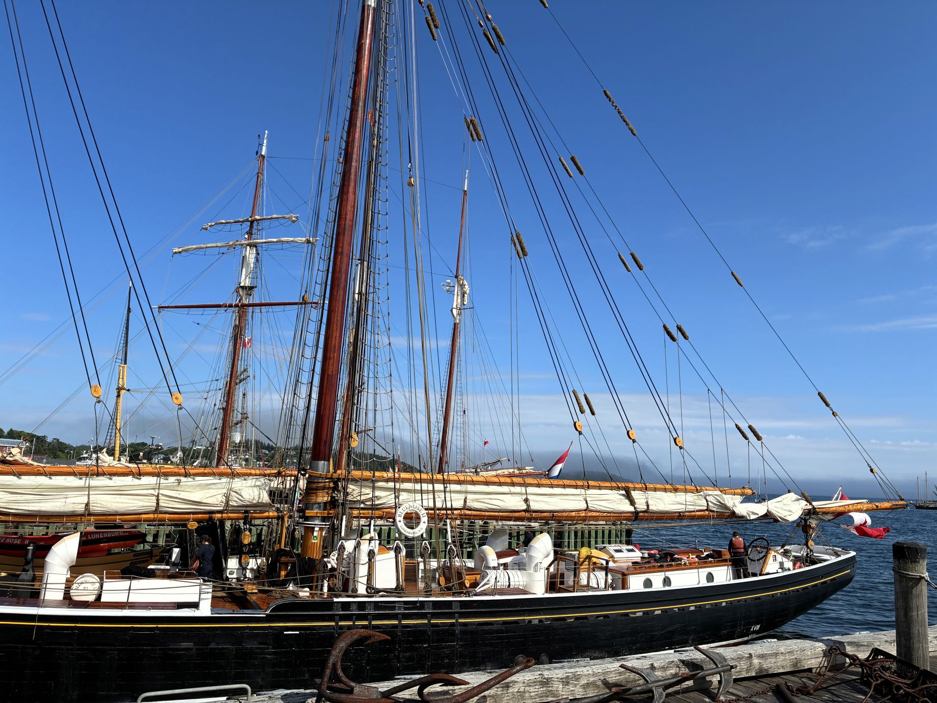
A beautiful ship!
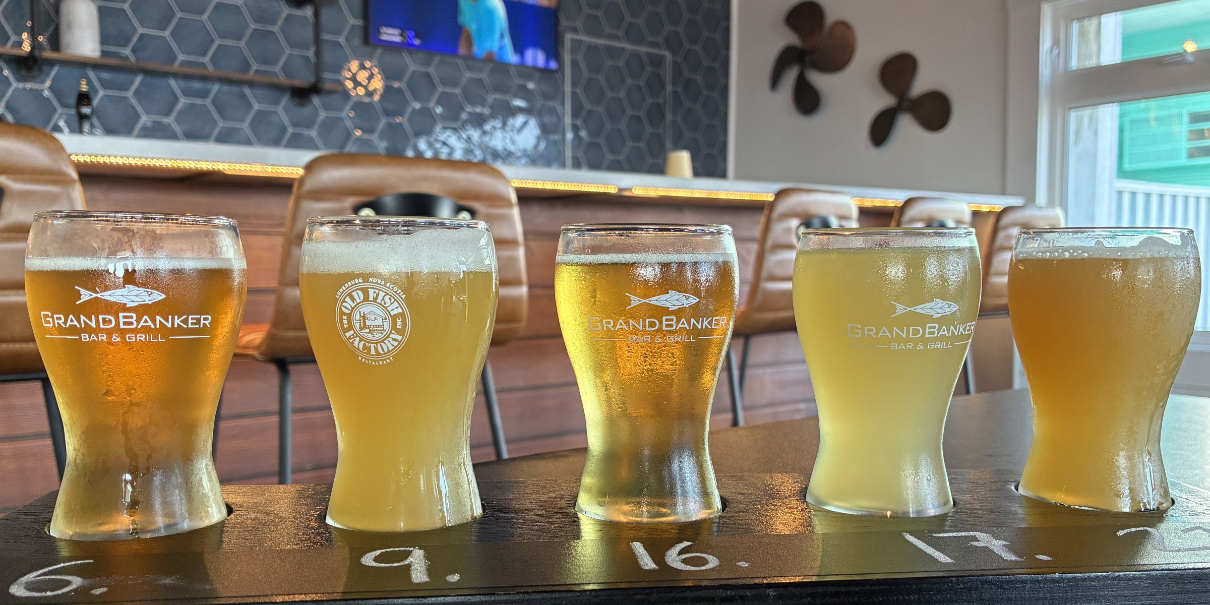
We stopped off at Shipwright Brewing Company for a flight of local craft brews.
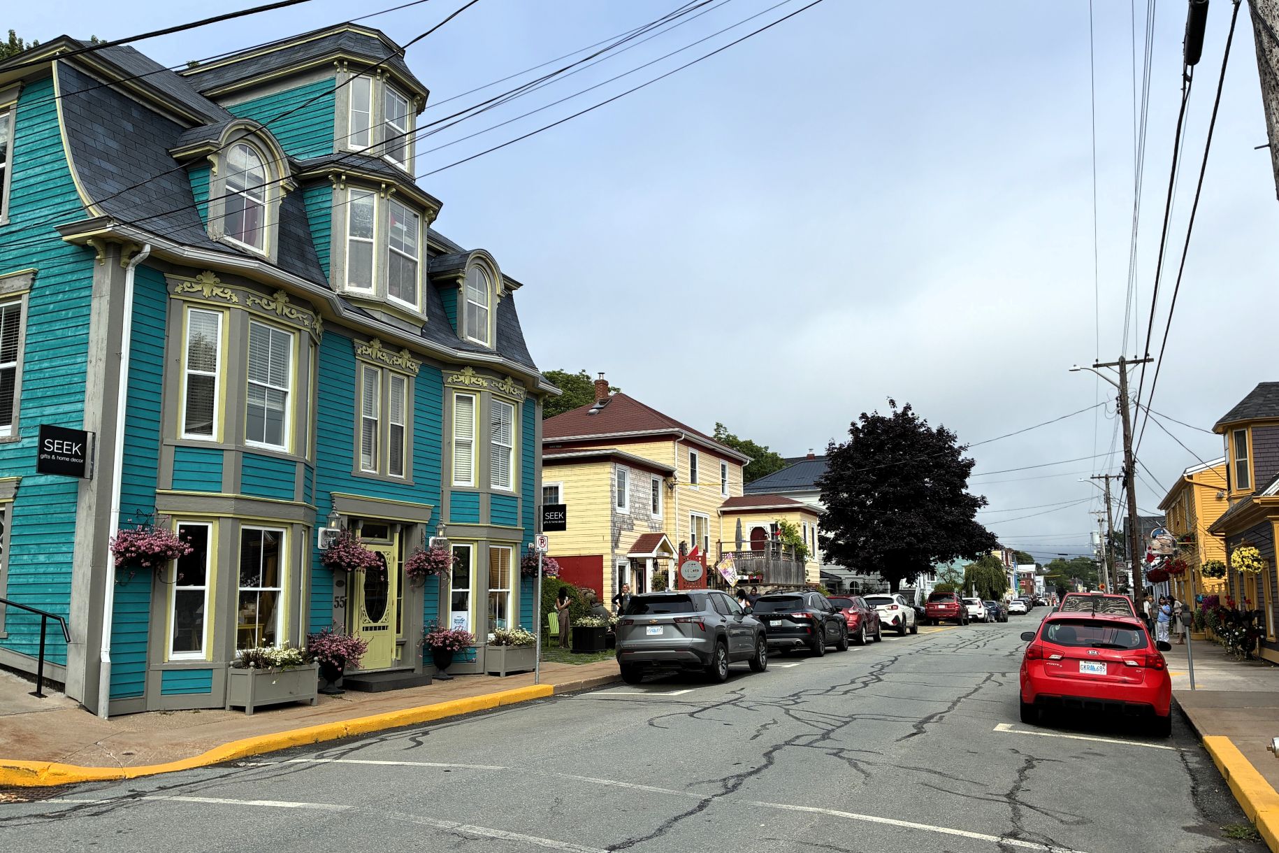
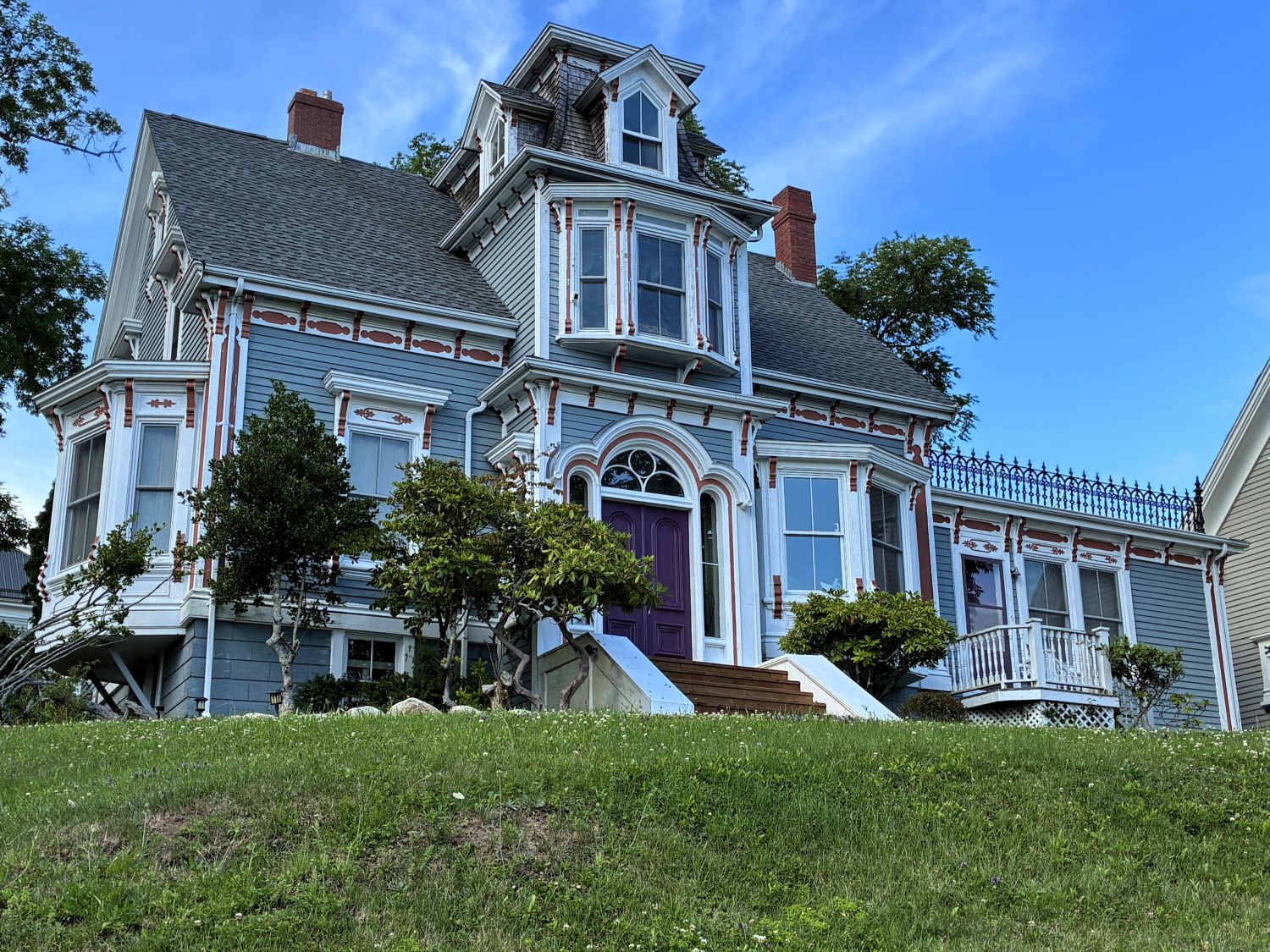
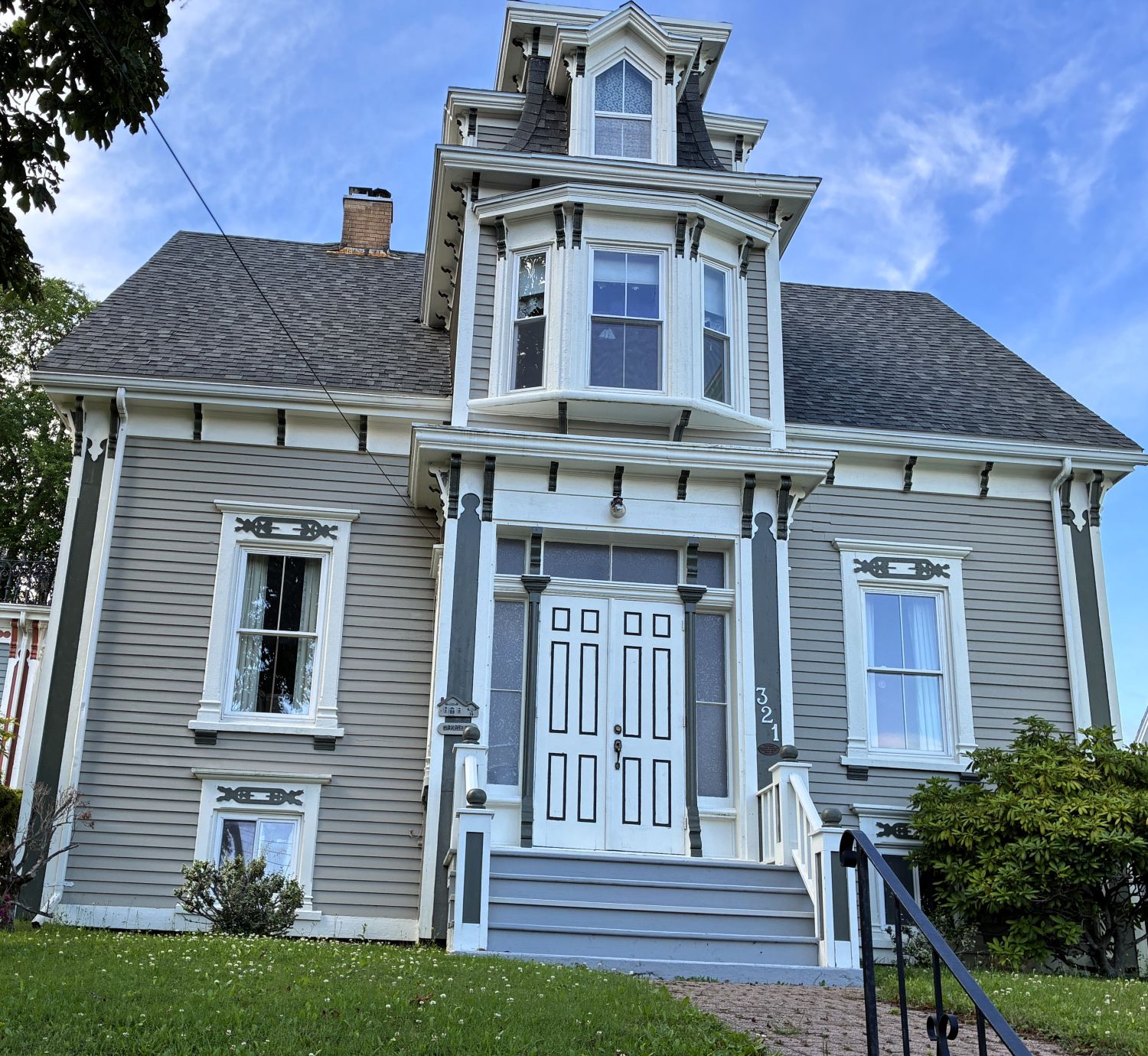
As we walked back up the hill to the campground, we admired some of the homes along the way.
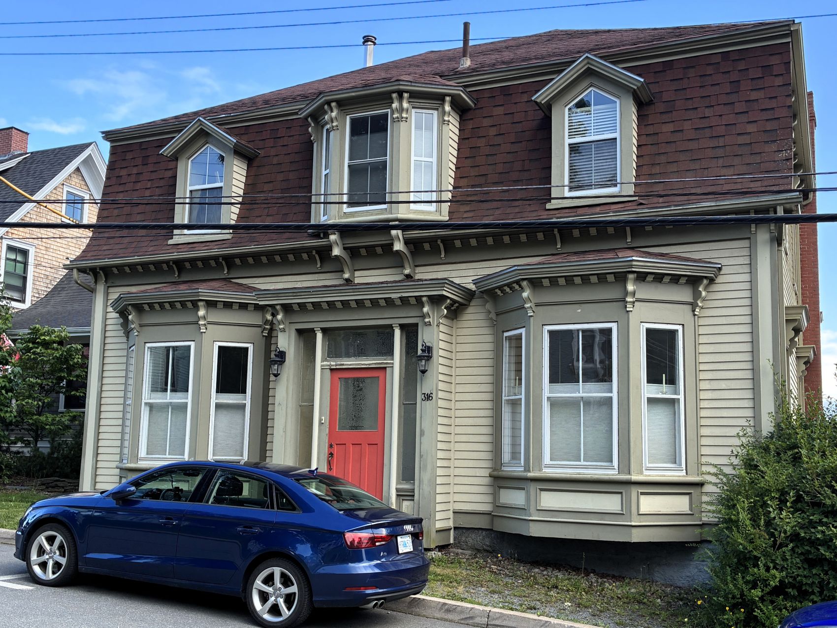
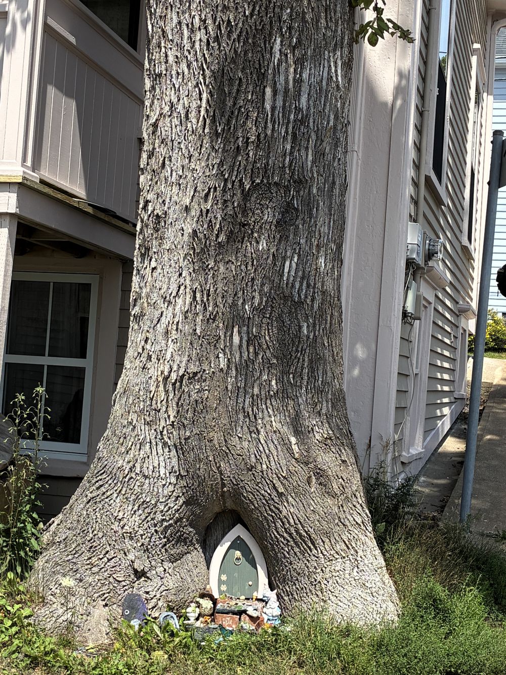
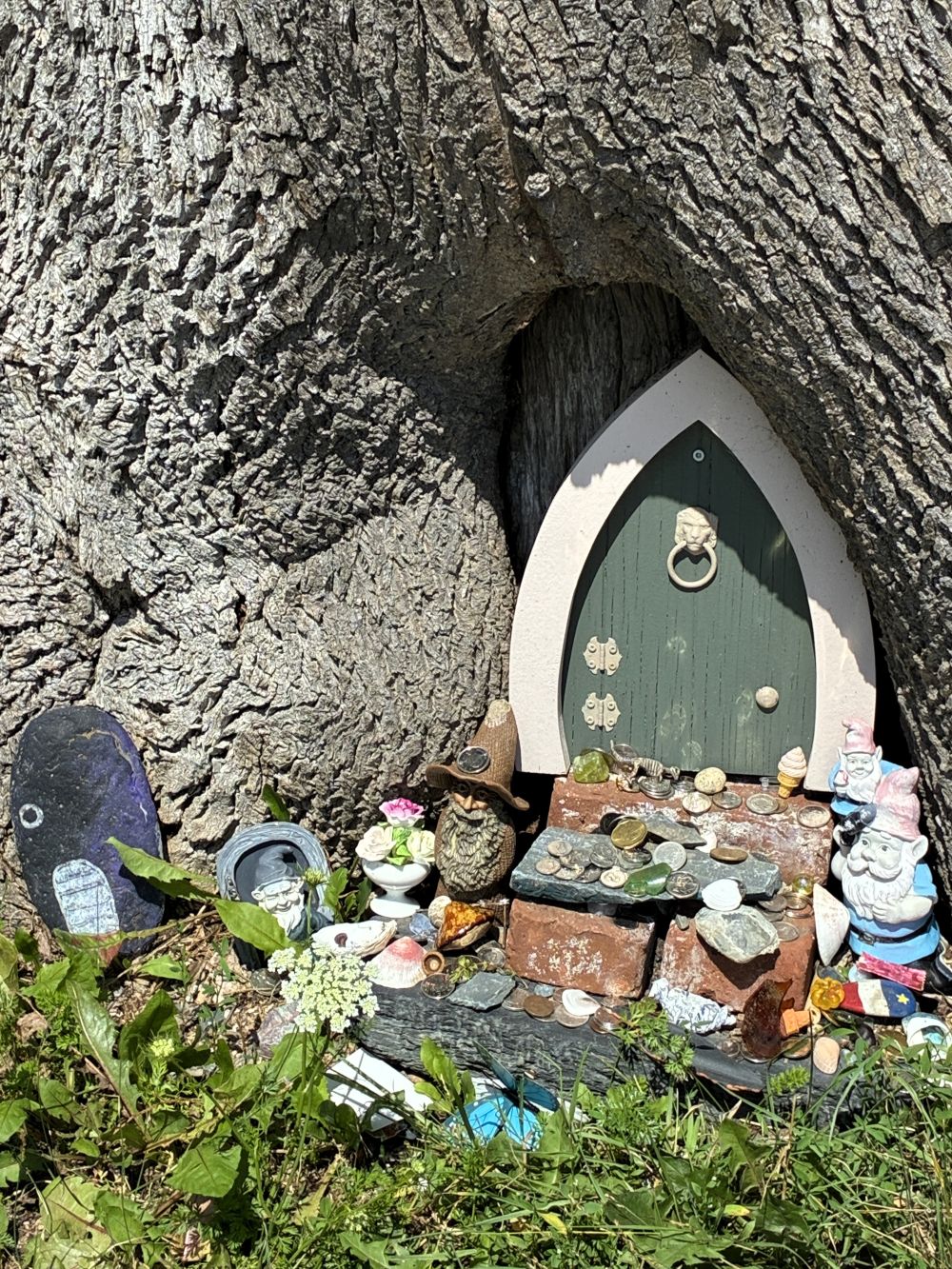
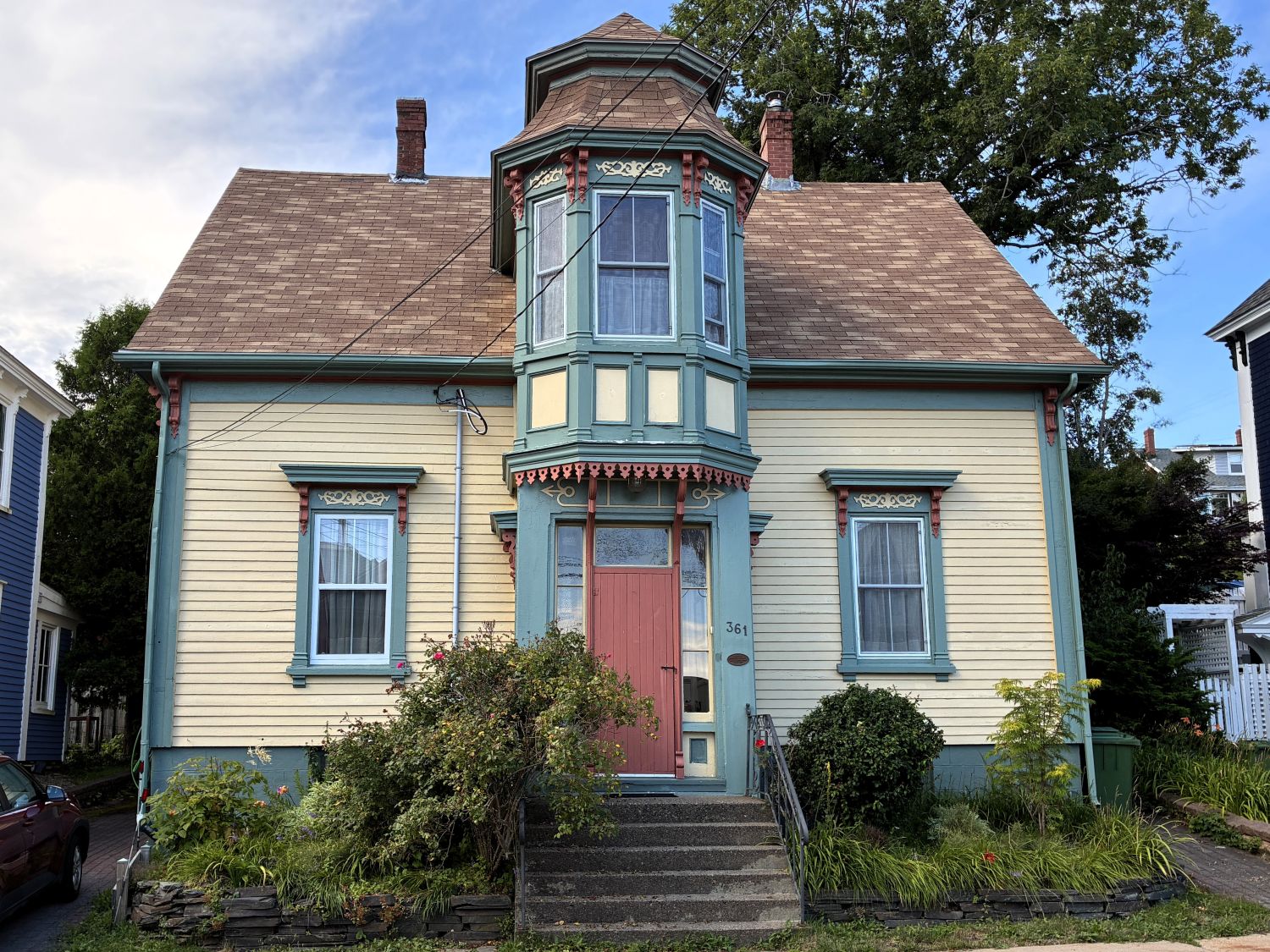
Wait a minute, what’s this?!
On August 1st we had an opportunity to “make our own piece of pewter” at Amos Pewter.
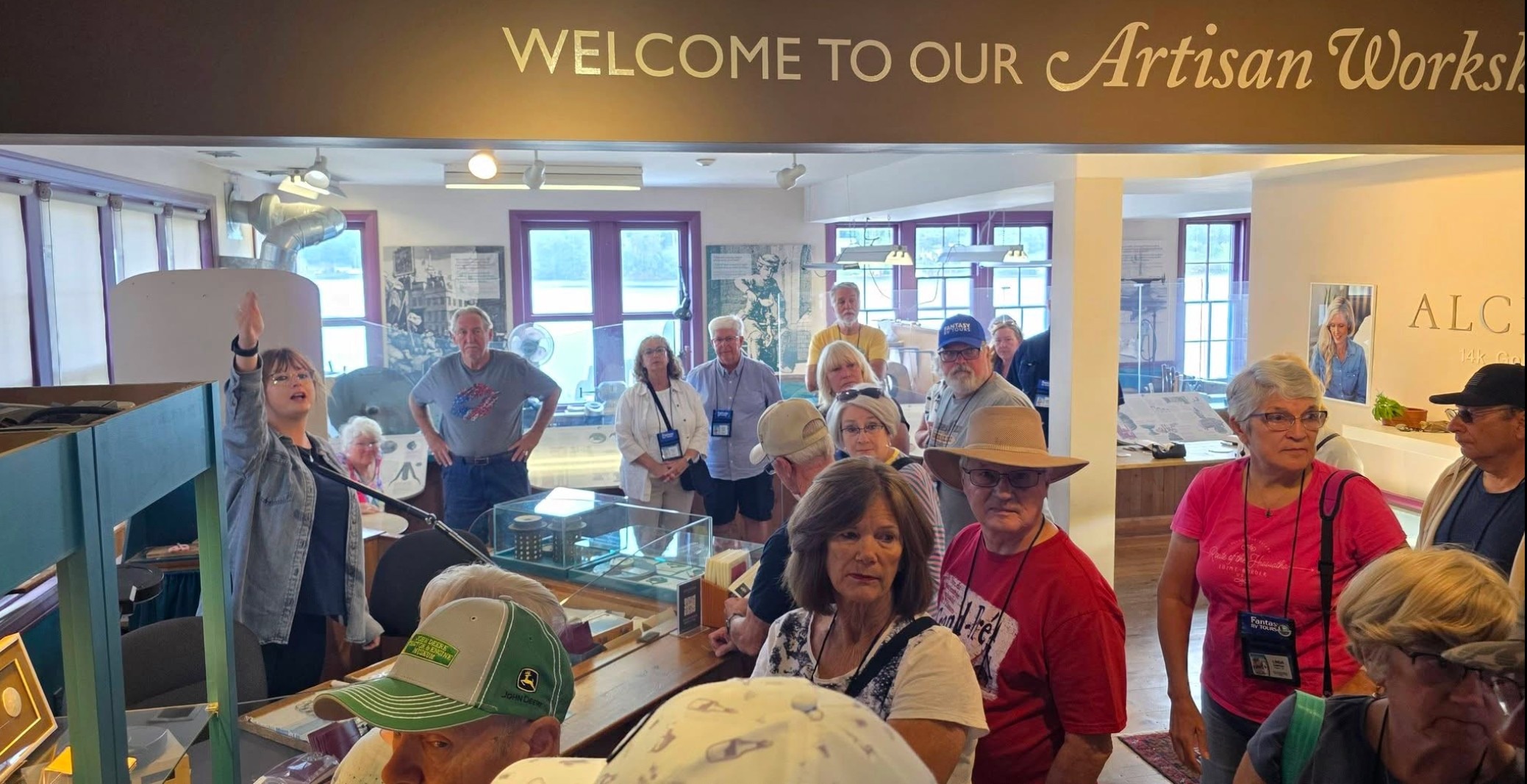
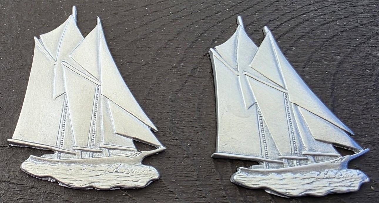
We were given a little kit with a pencil, a drawing of the Bluenose, a piece of wax, and a piece of sandpaper.
First, we darkened the back of the paper with the drawing on it. Then we taped the drawing to the wax and pressed down hard to make an impression in the wax; much like an artisan would make an image in the wax in the process to make a mold for the pewter.
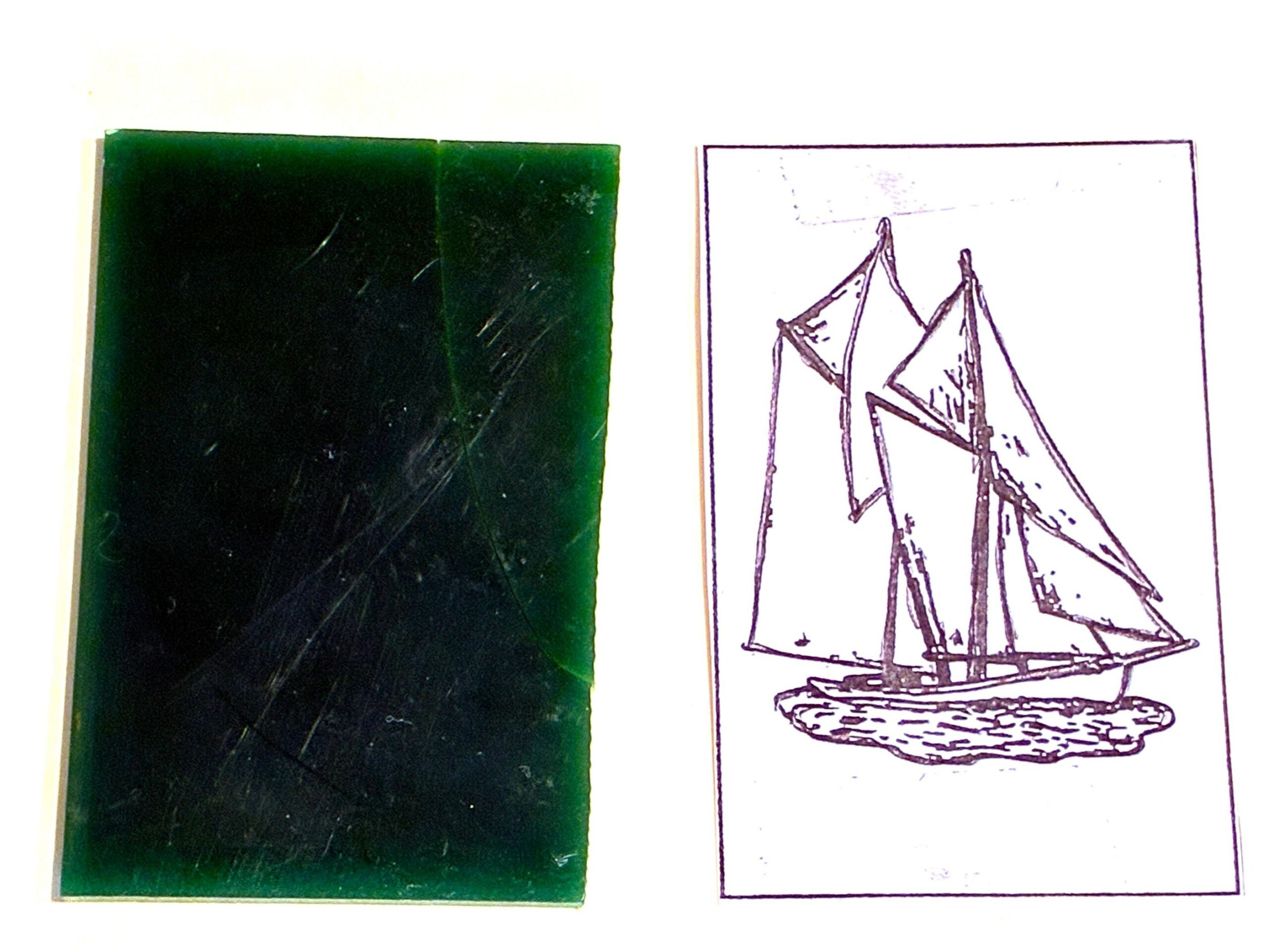
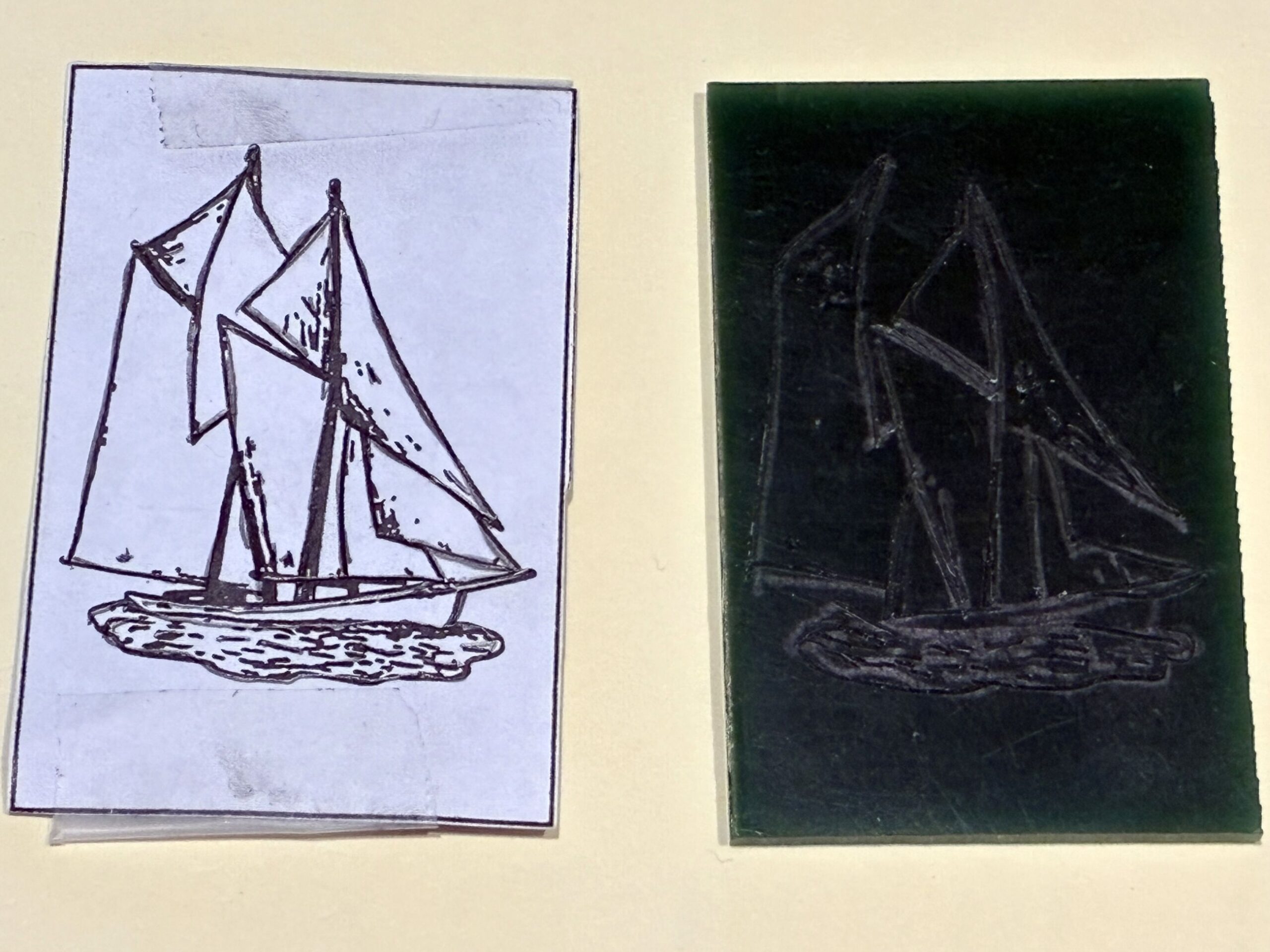
We were shown what the real moulds for the pewter pieces looked like, and also given a Bluenose that had been made but needed to be finished by smoothing the rough edges with sandpaper; and the piece was ours to keep!
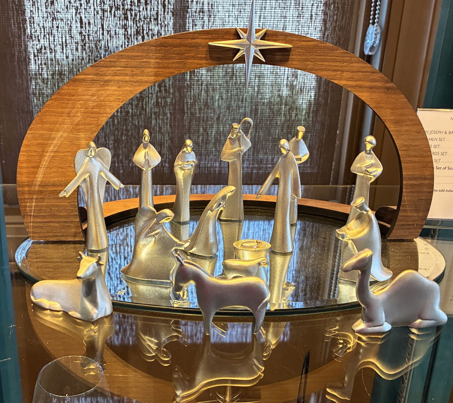
There were many beautiful things on display for sale – one of the most striking was this nativity set.
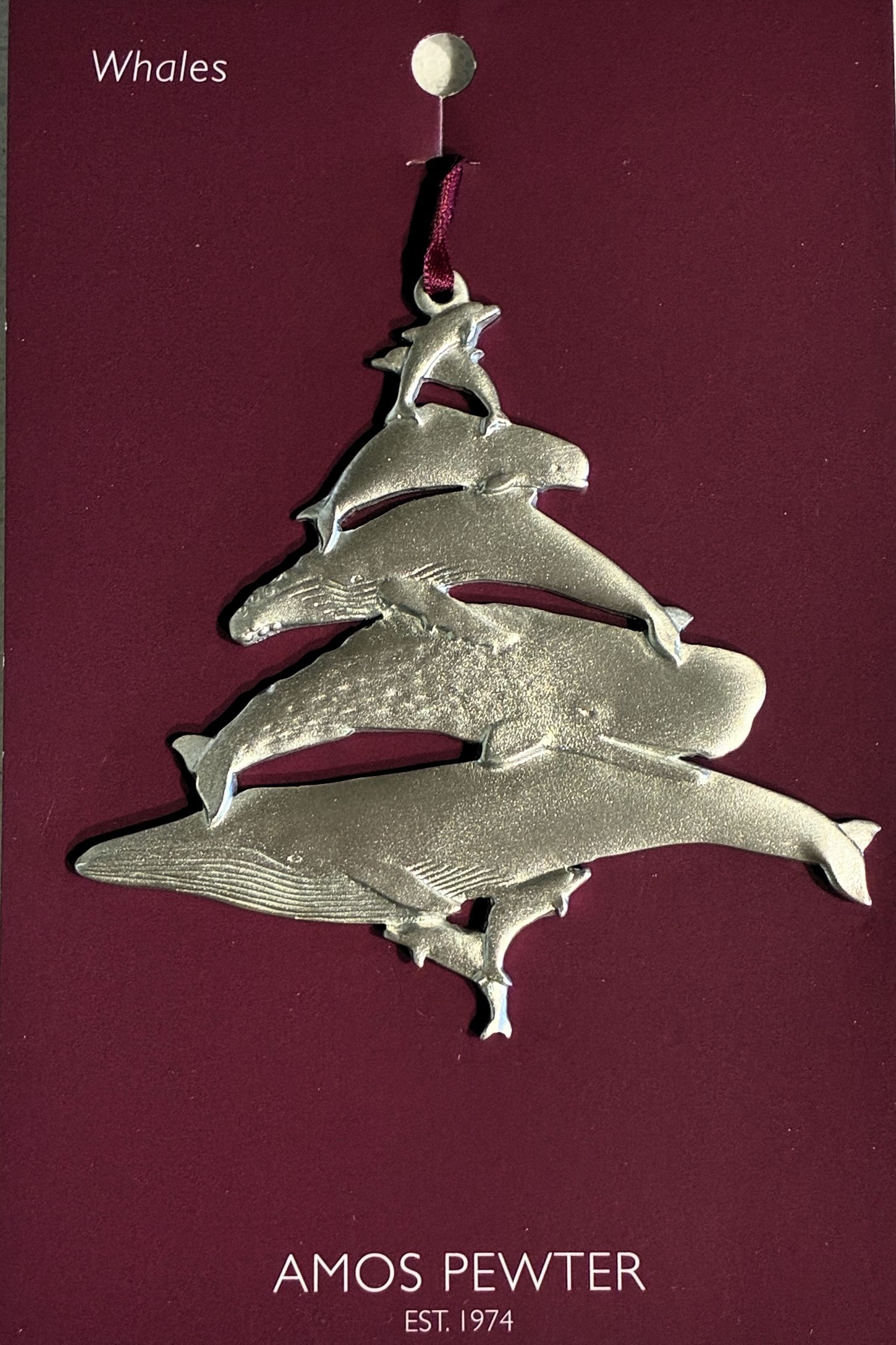
We bought this Christmas ornament to remind us of the spectacular whale watching tour we did.
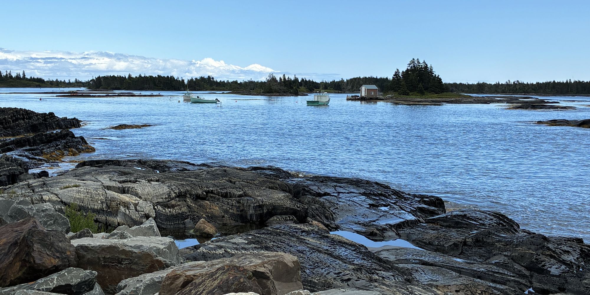
After lunch, we set out to explore some of the local sights. The Blue Rocks community was just a short drive from Lunenburg. We were not sure what to expect, but heard it was a quaint and picturesque fishing village. We found the rocks were not truly blue, but the area was quite charming.
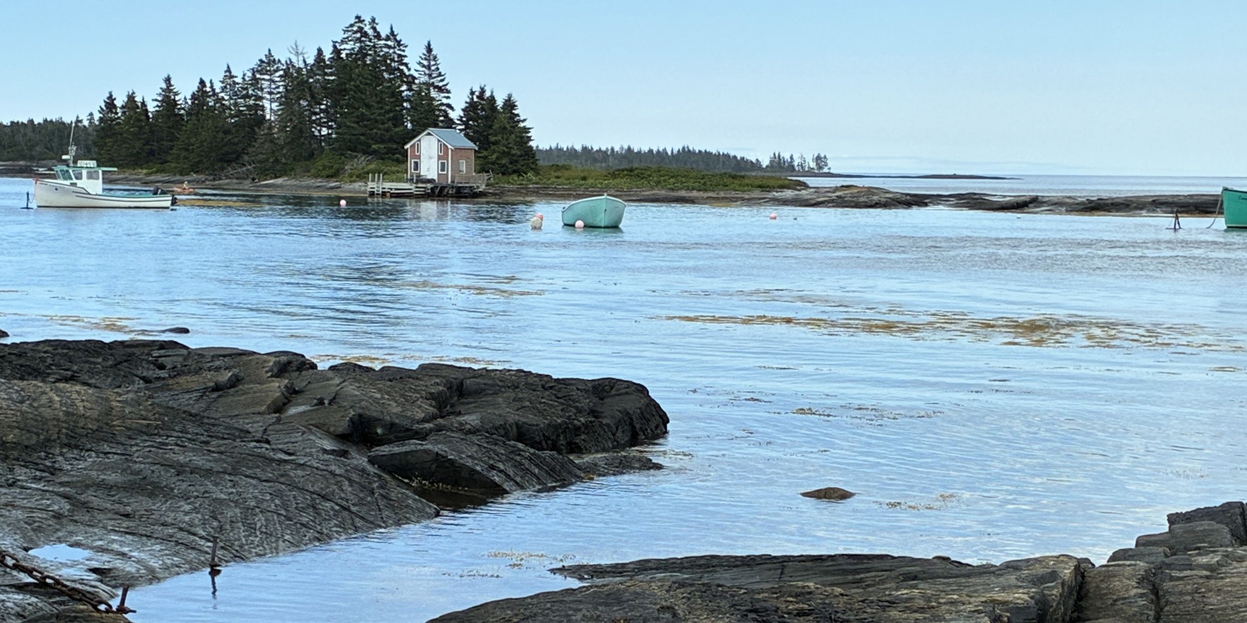
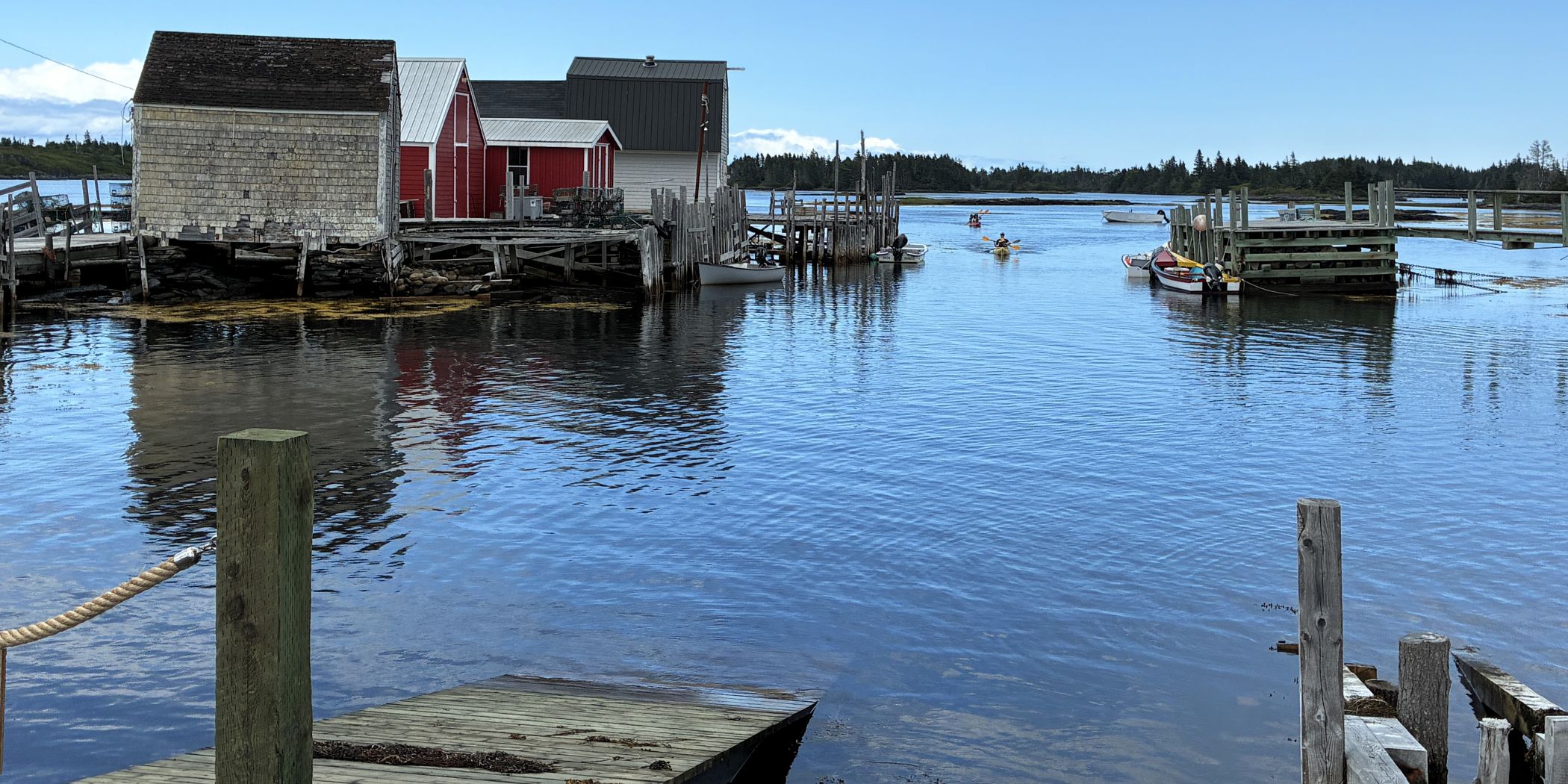
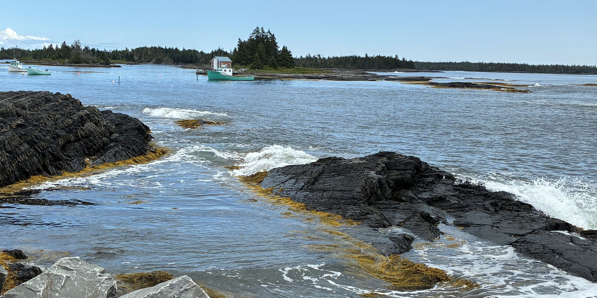
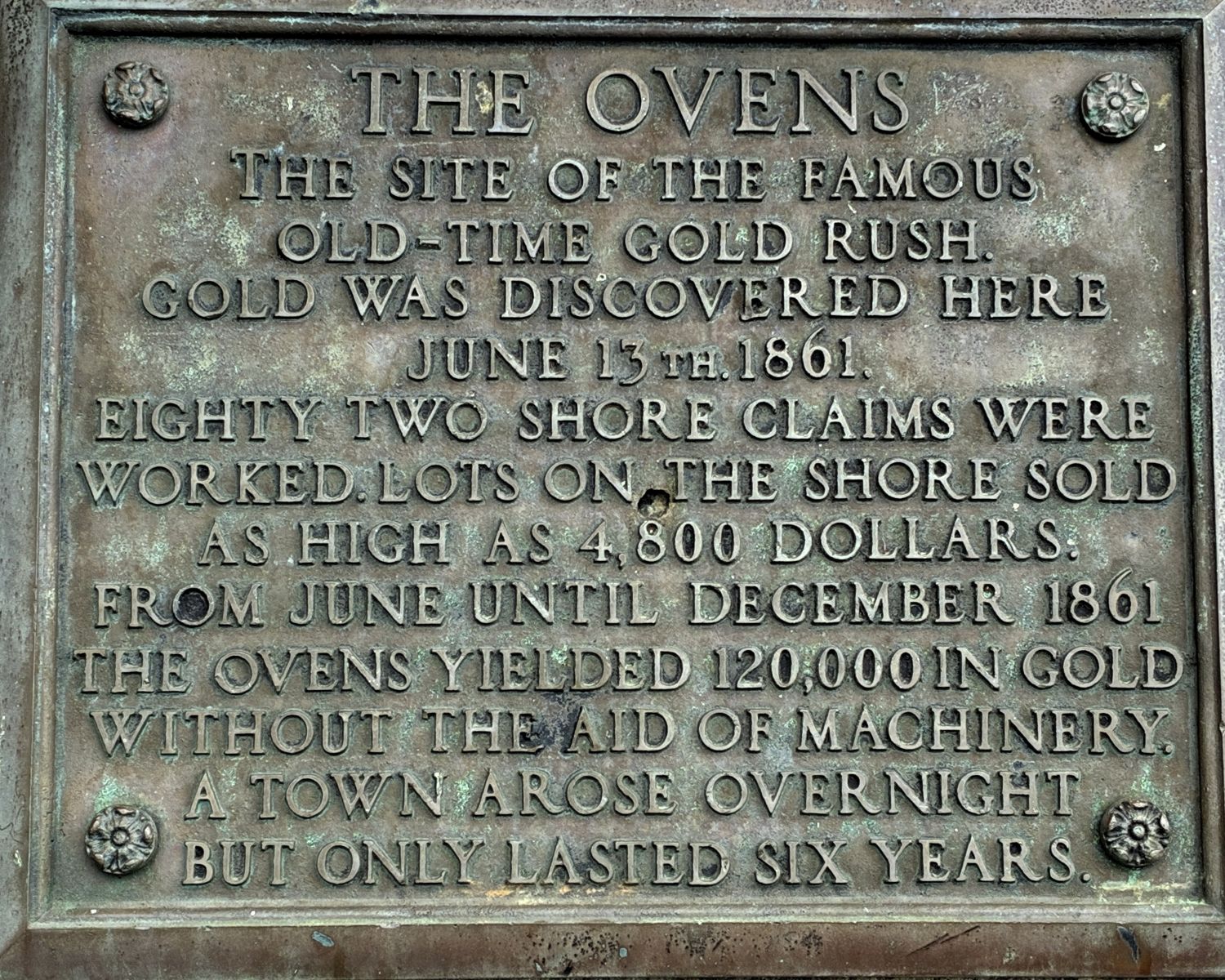
After a quick visit there, we headed to the Ovens Natural Park; the site of Nova Scotia’s 1861 gold rush.
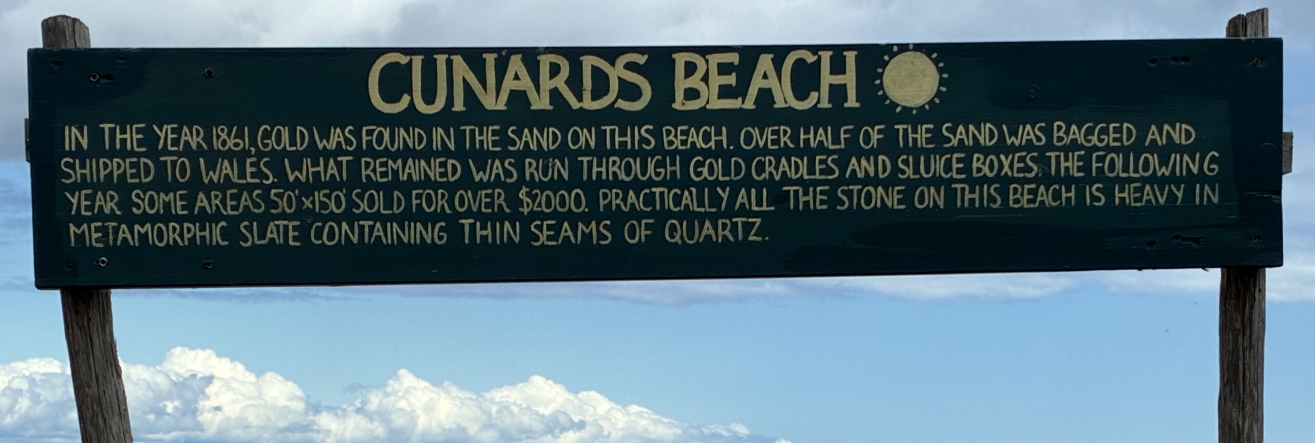
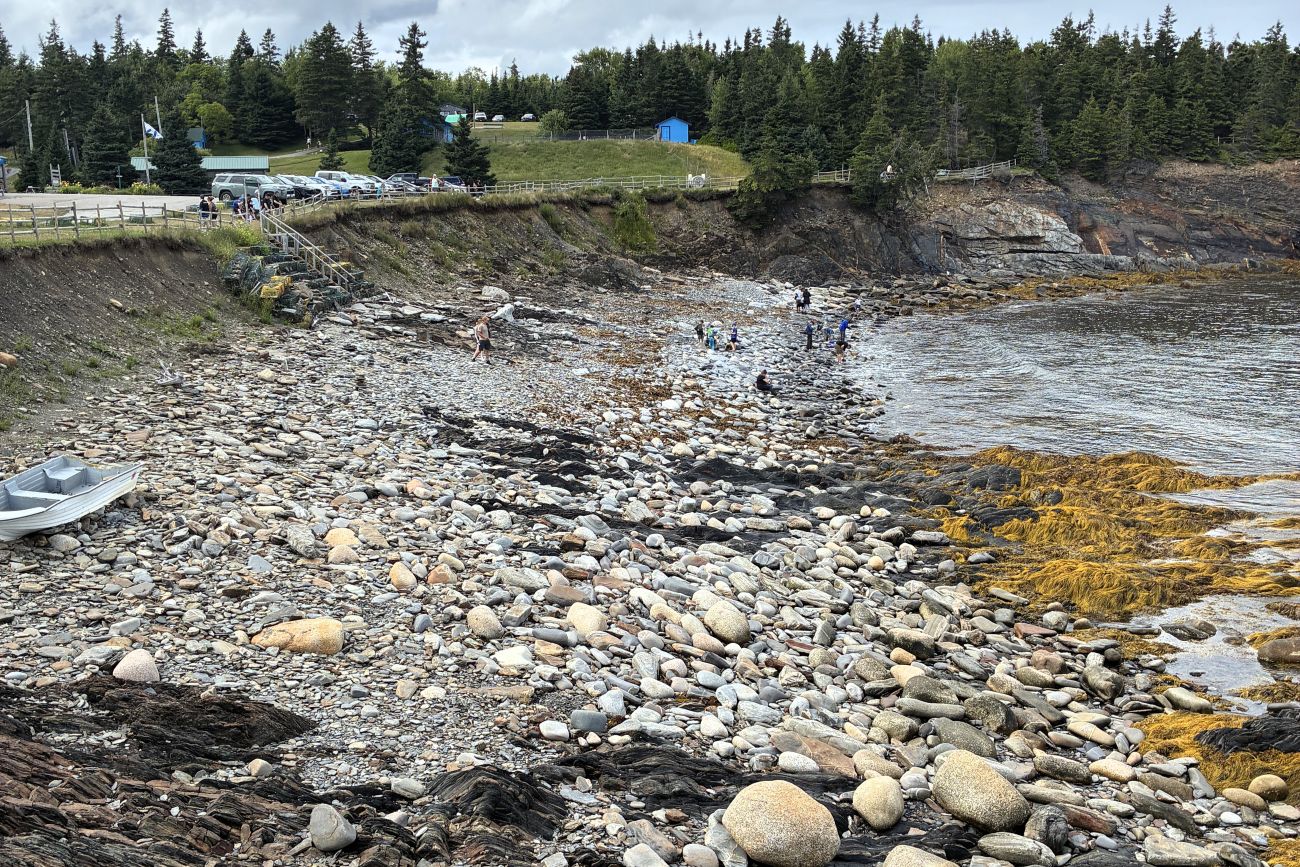
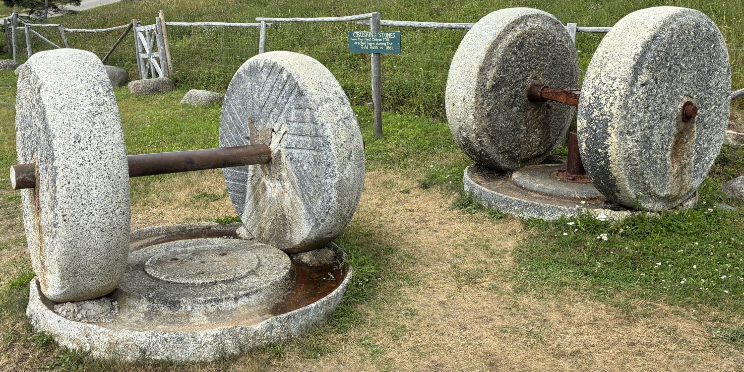
Crushing Stones from the First Chilean Mill erected here during the Gold Rush in 1861.
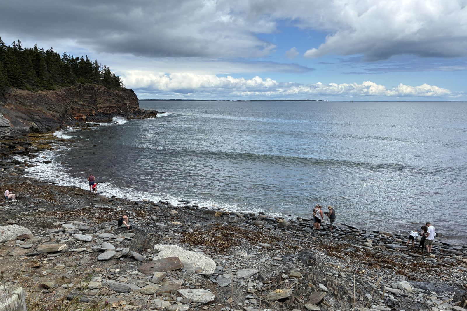
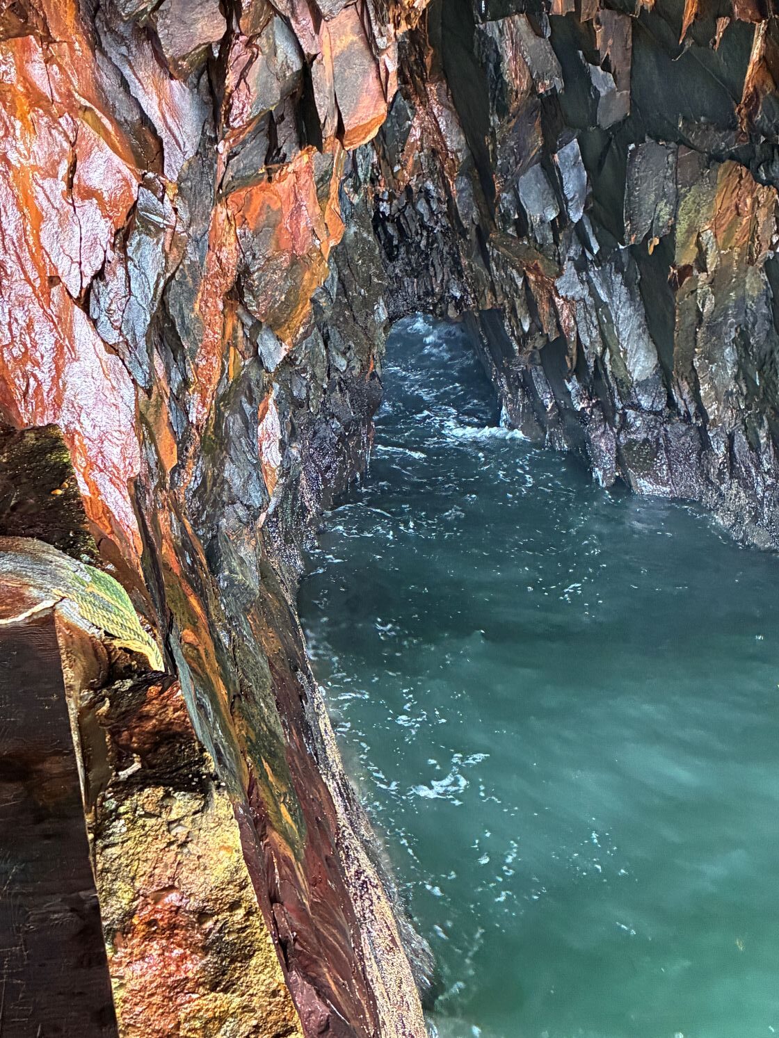
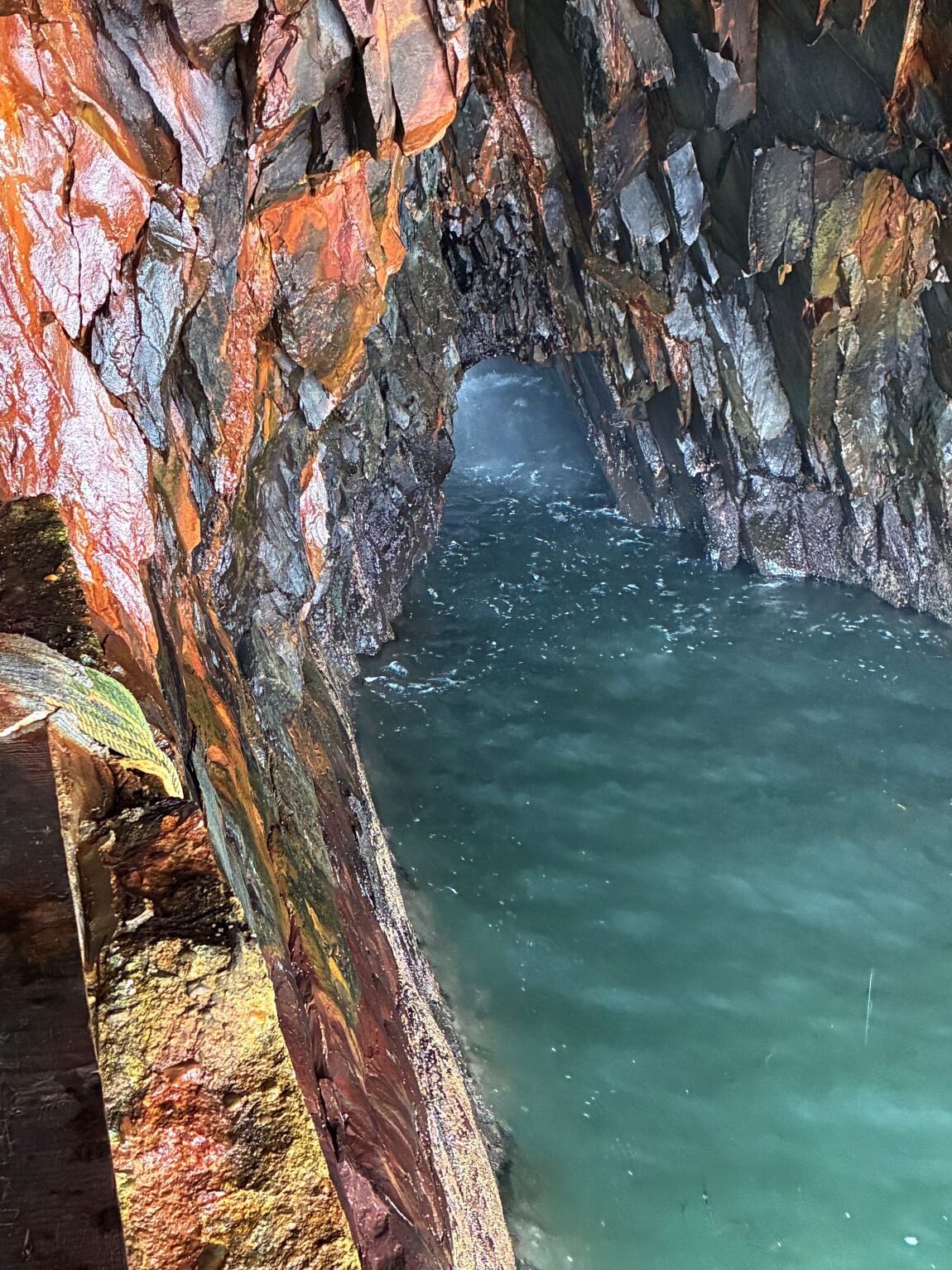
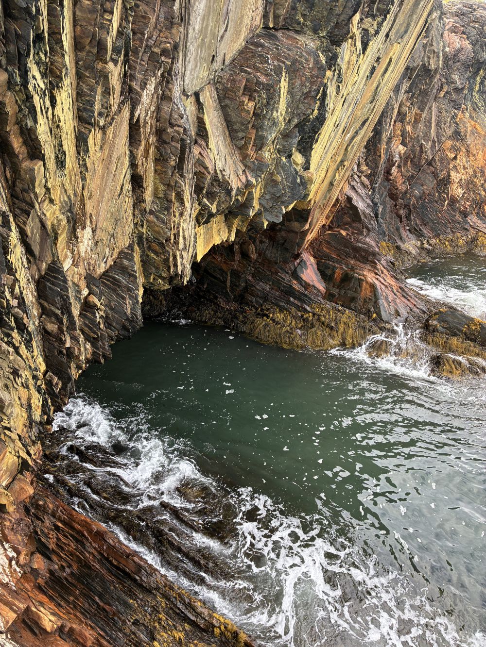
Several sea caves, or “ovens” can be seen by hiking a trail along the cliffs.
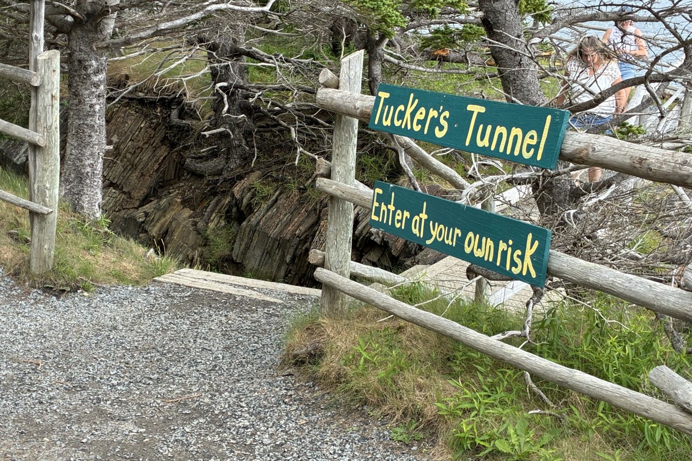
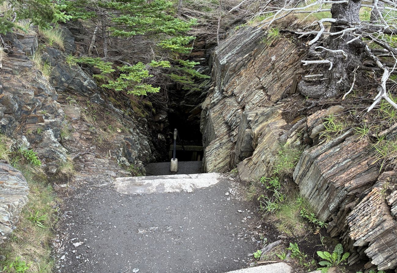
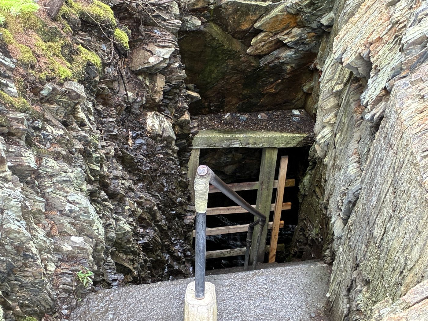
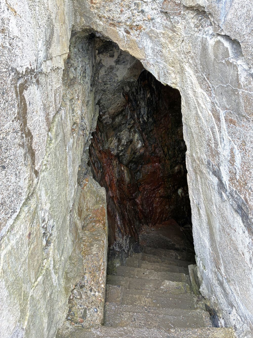
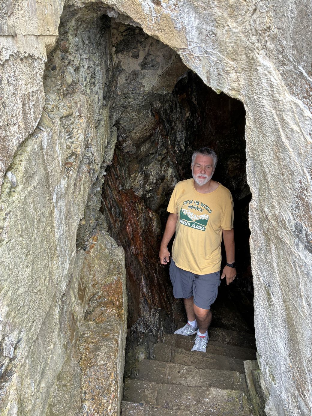
According to local lore, a claim holder named John Tucker followed a rich vein of gold through the slate rock. He continued until he reached this sea cave. The result is now a stairway down the cliff with unique views of a sea cave.
Mark and Sharon came with their dog Jewel and their adventurous cat Moby.
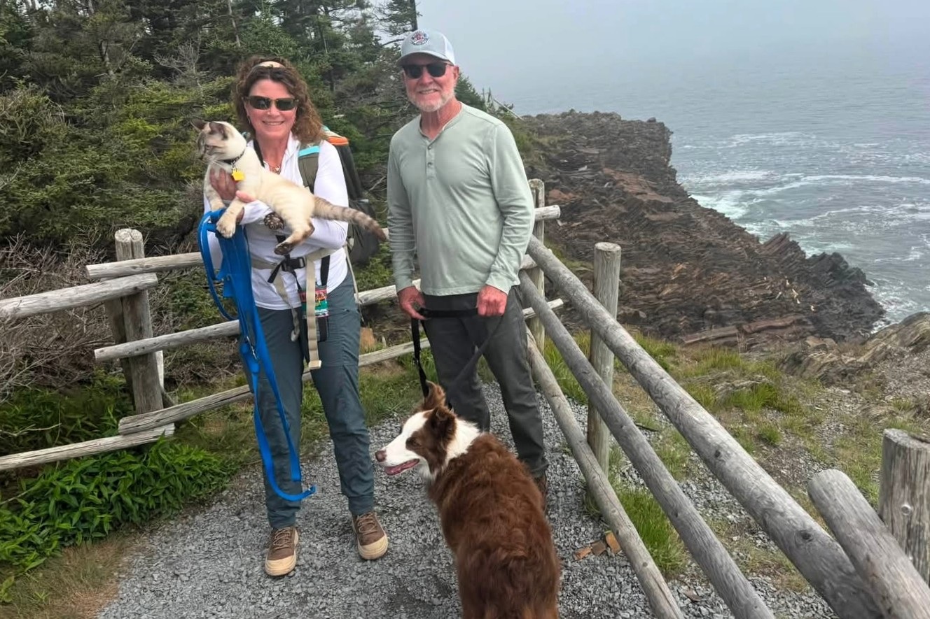
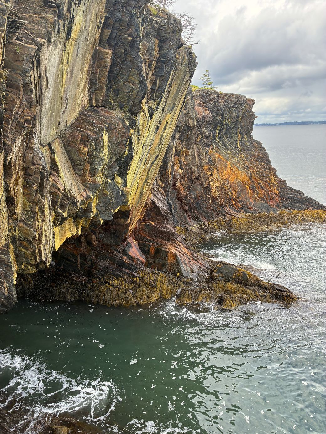
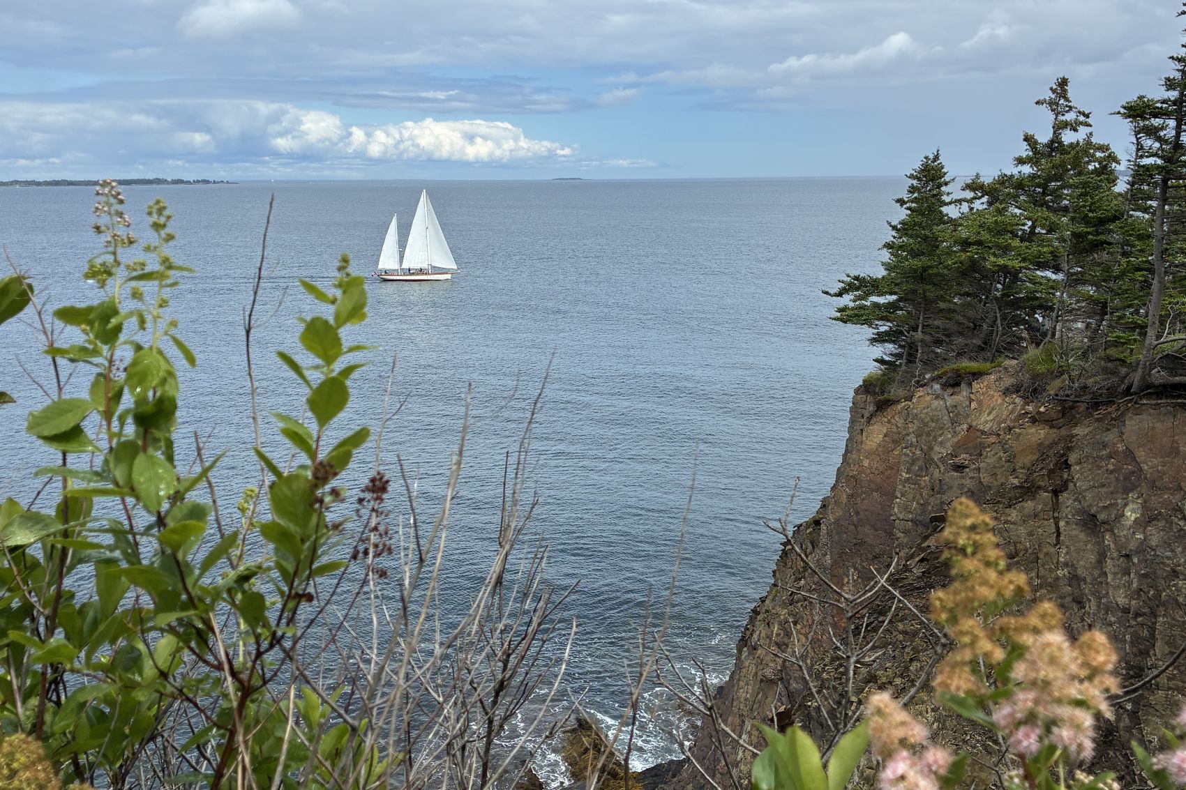
We were high above the beautiful rocky coast.
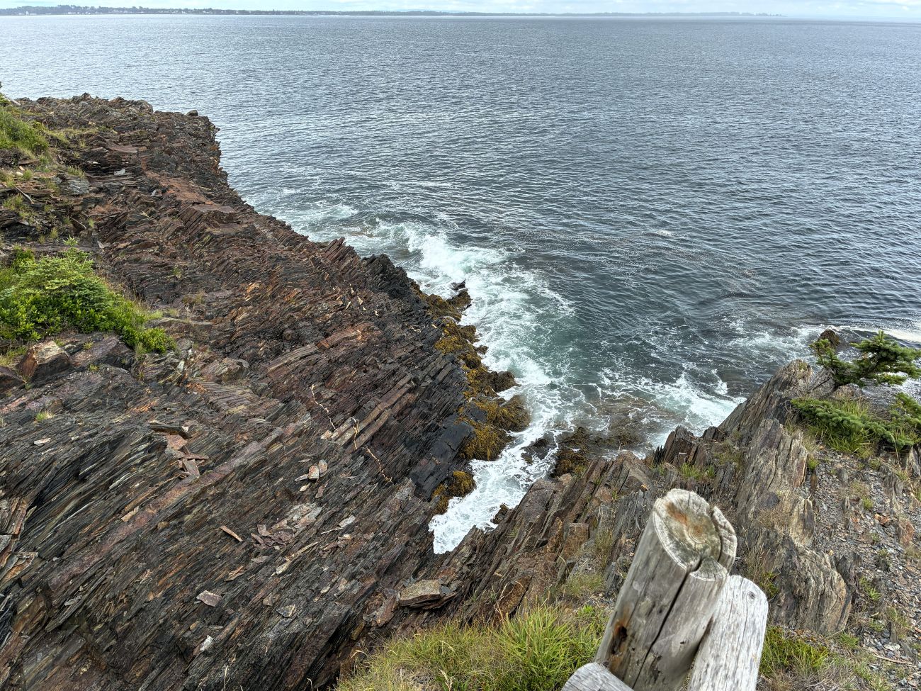
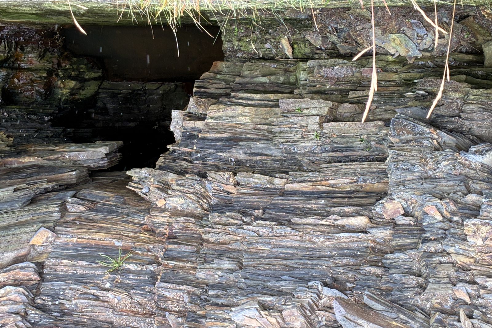
Colorful rock around the sea cave.
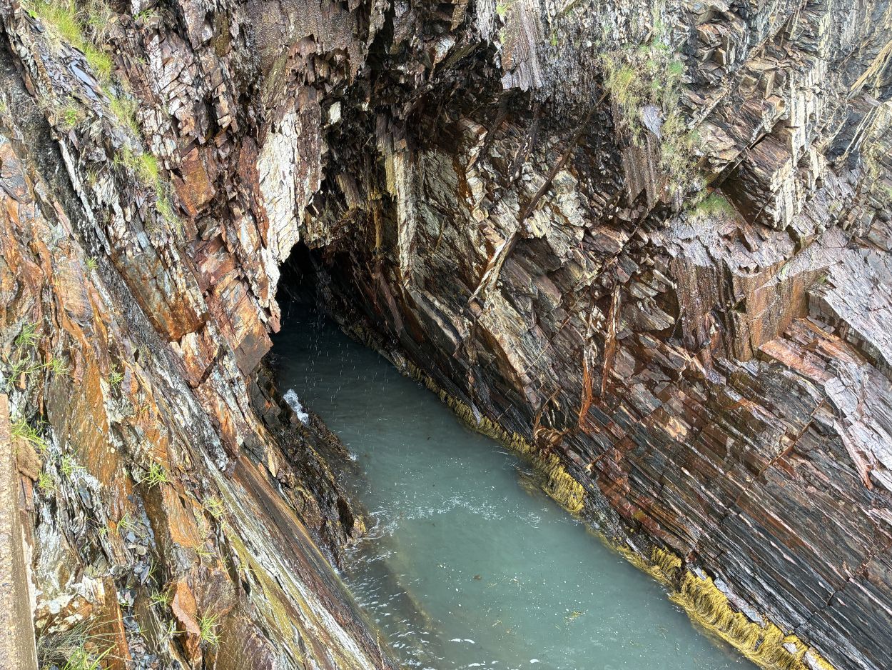
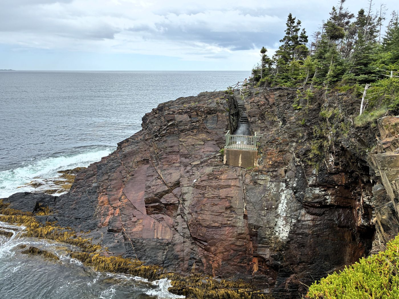
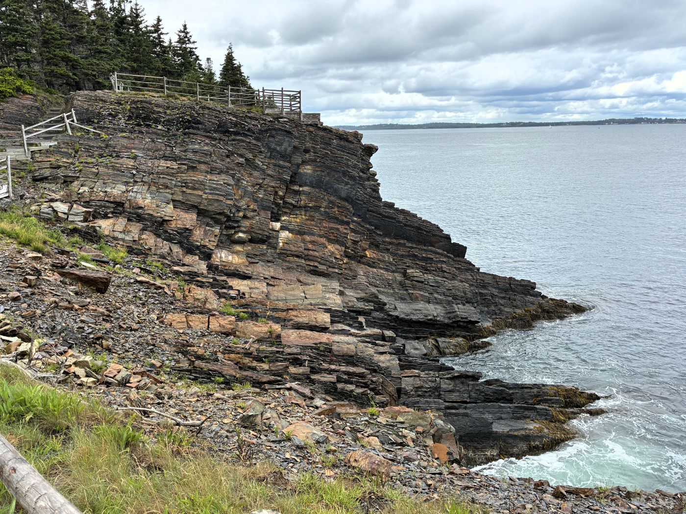
Another sea cave.
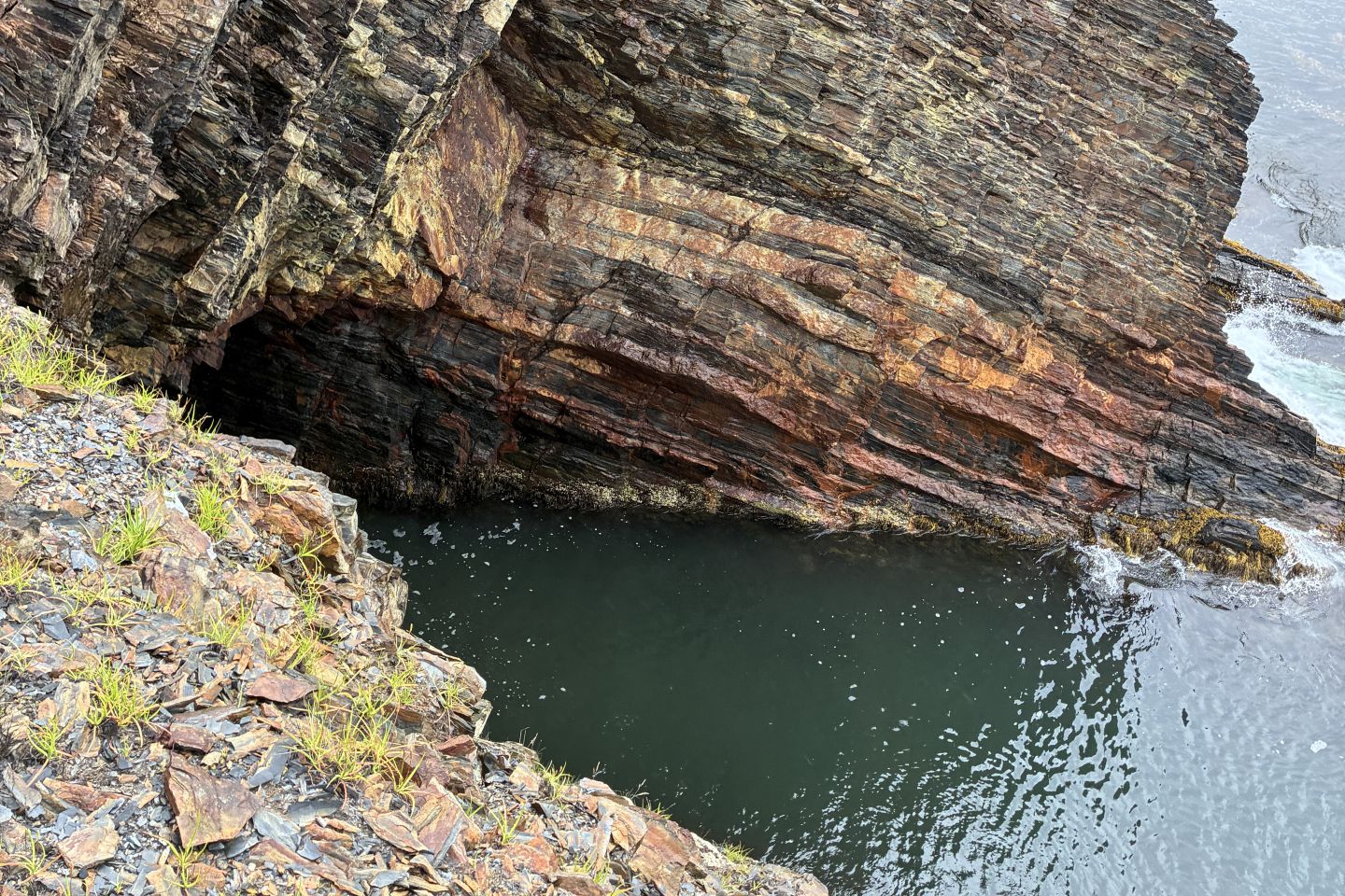
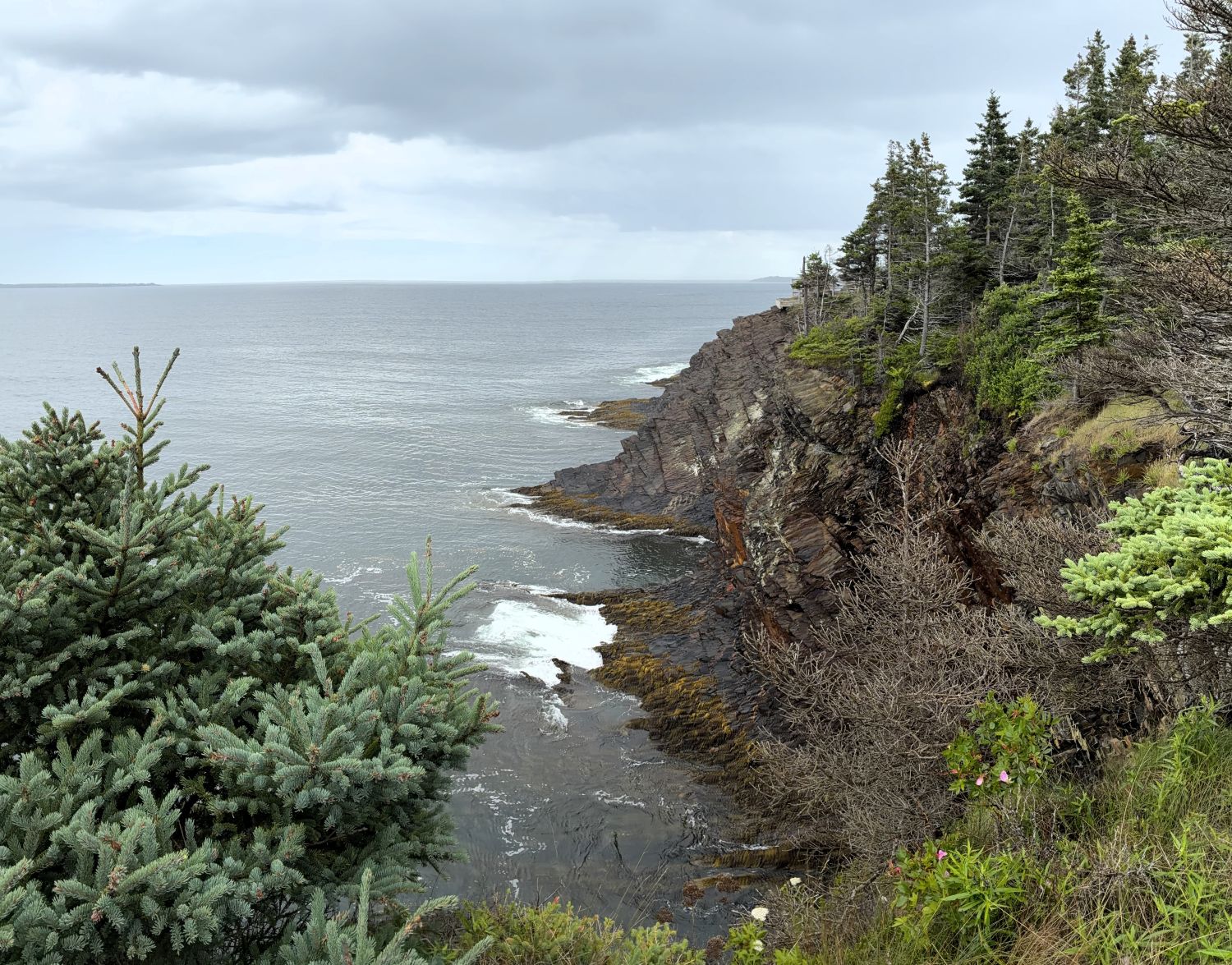
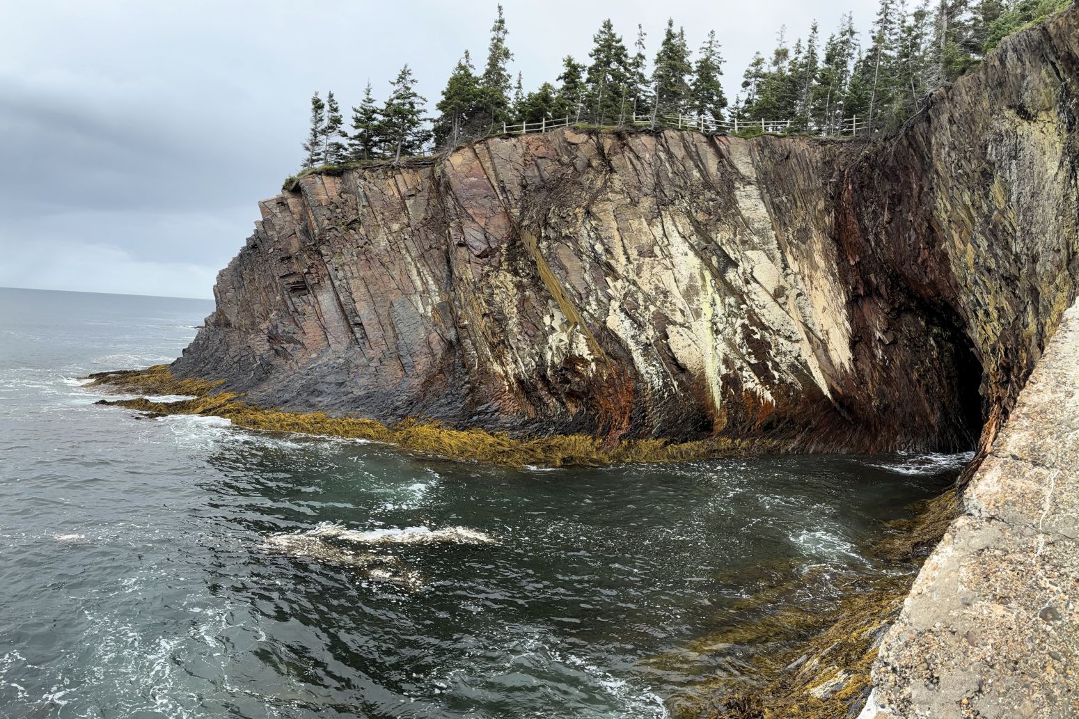
Linda didn’t feel secure going down the stairs into Canon Cave, but Jim went down and took these photos. The waves pounding into the cave really do sound like a canon going off!
On August 2nd our group had a whale watching boat tour.
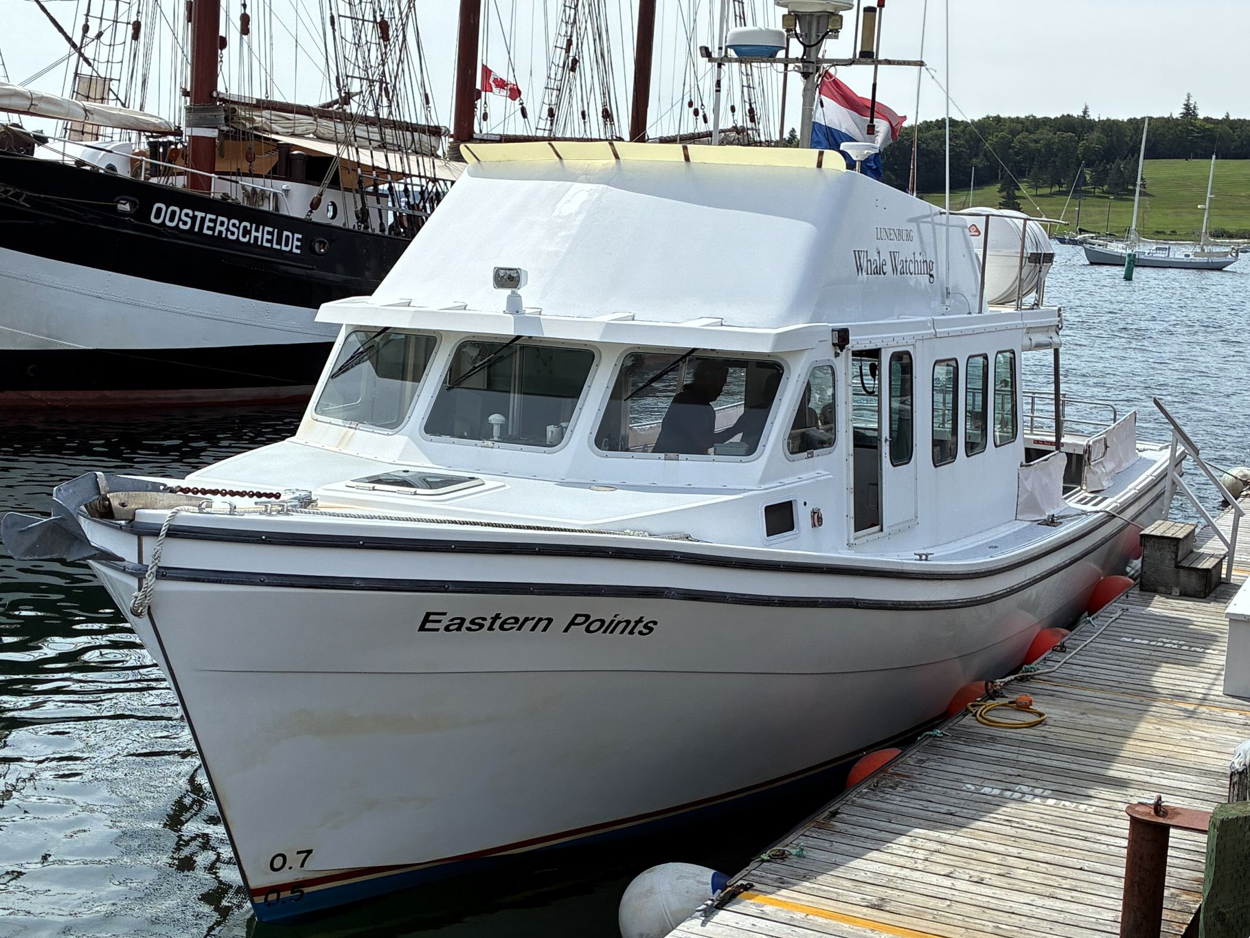
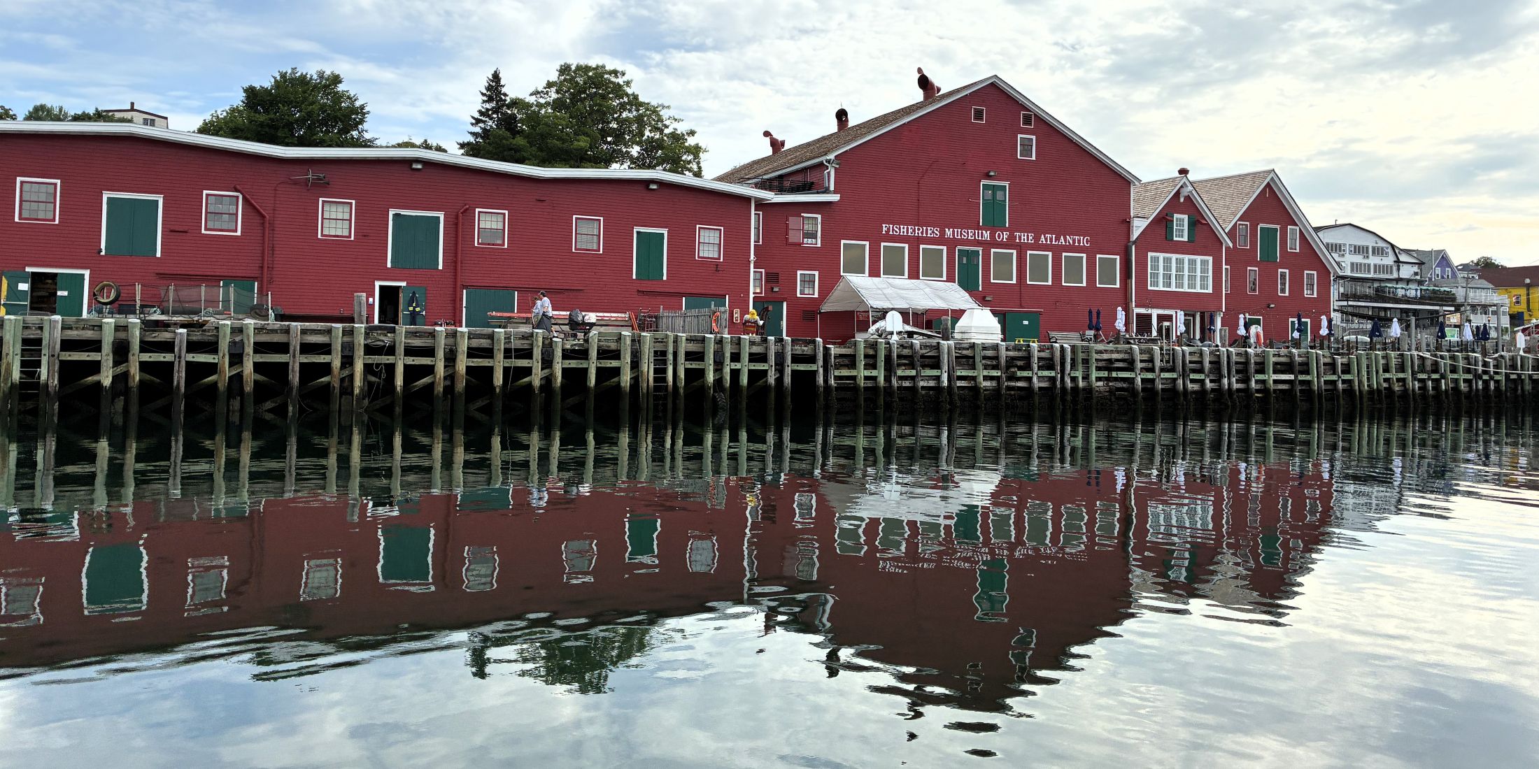
As we began our tour, we passed by the Fisheries Museum of the Atlantic,
and the Cape Sable,
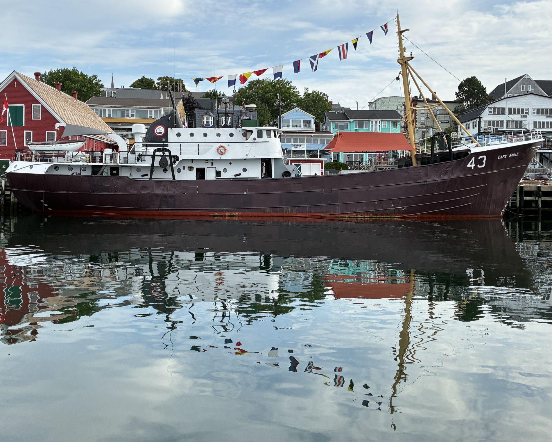
and the Bluenose II.
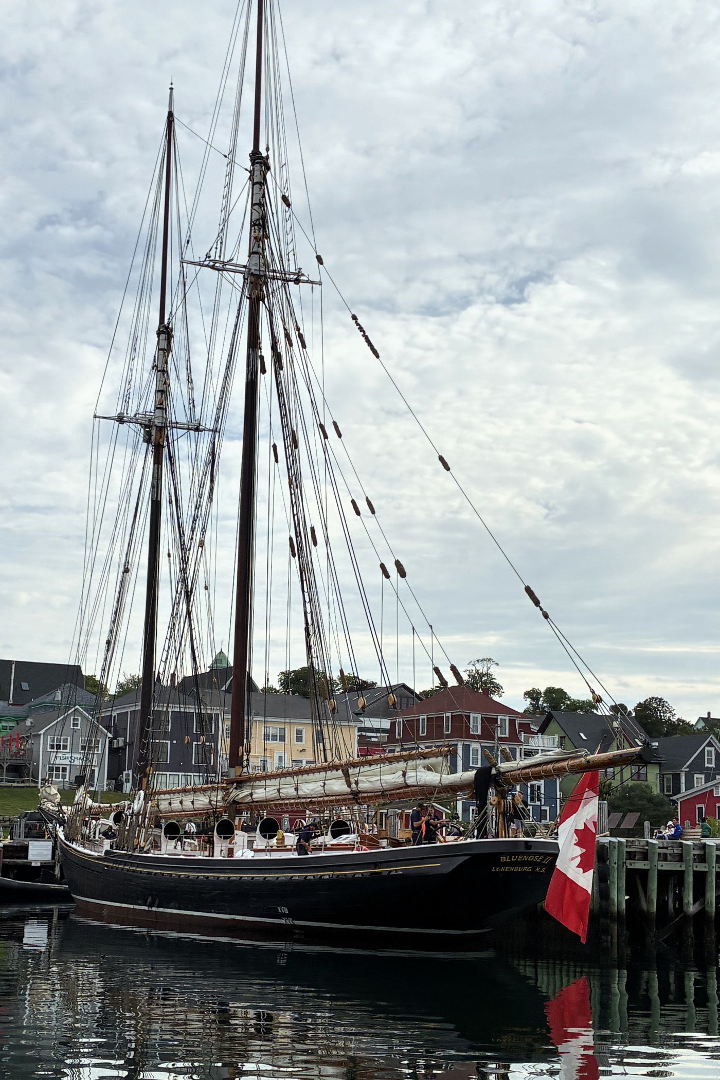
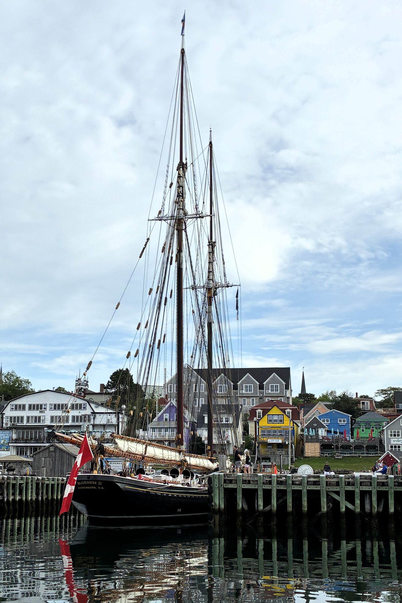
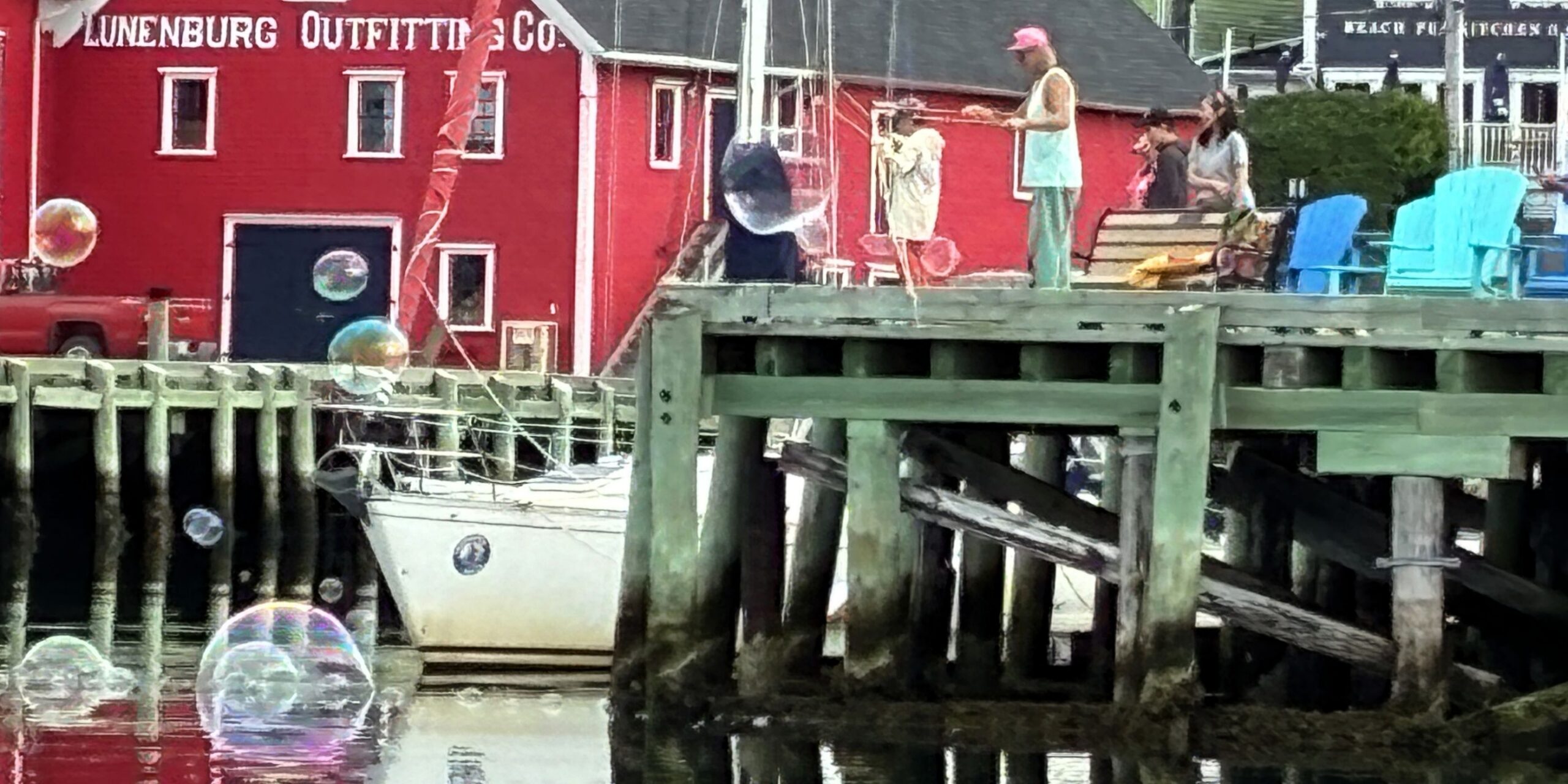
Some folks on one of the piers were having fun with bubbles!
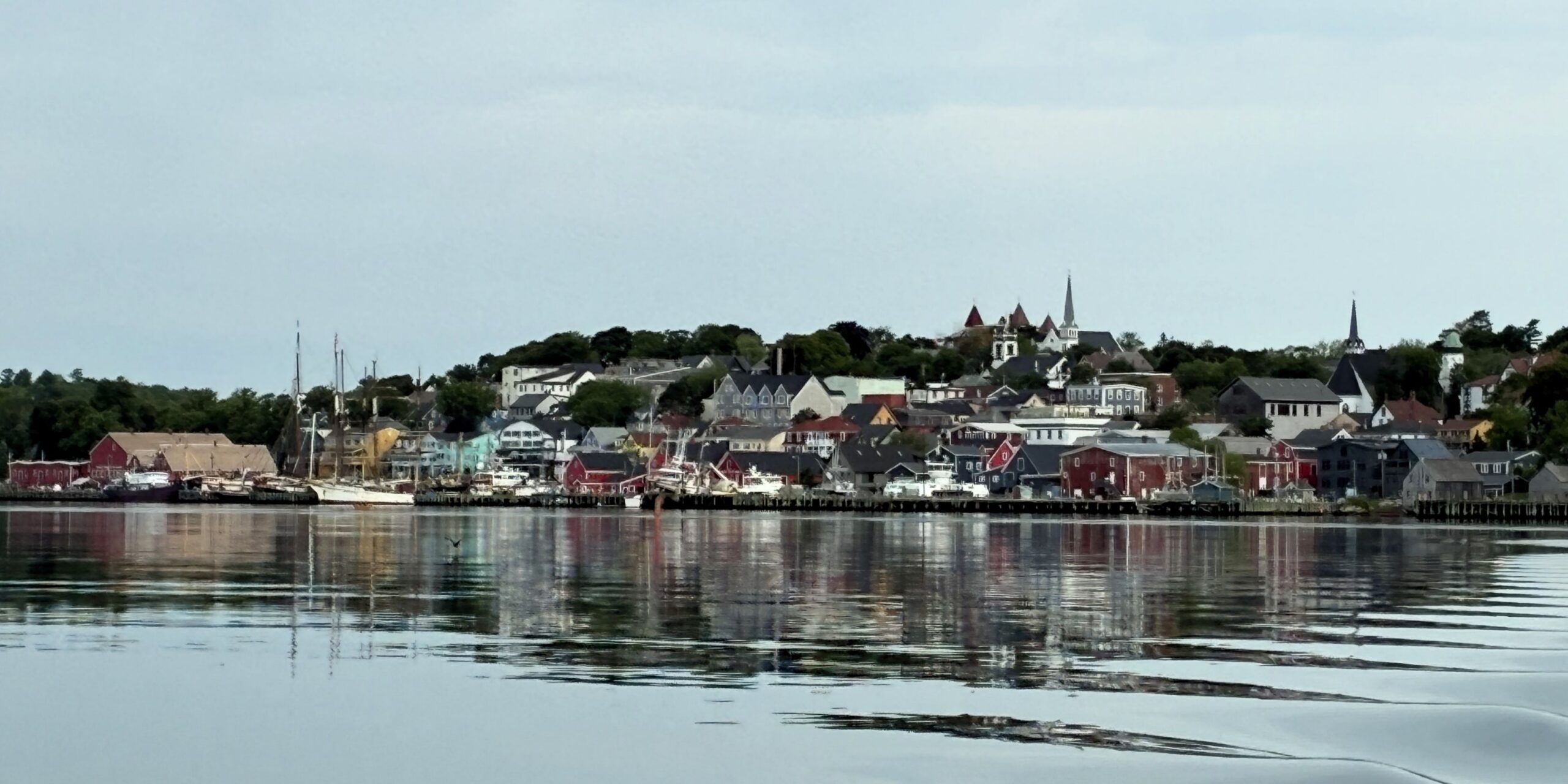
Soon, we left the Lunenburg Waterfront behind as we headed out of the harbor.
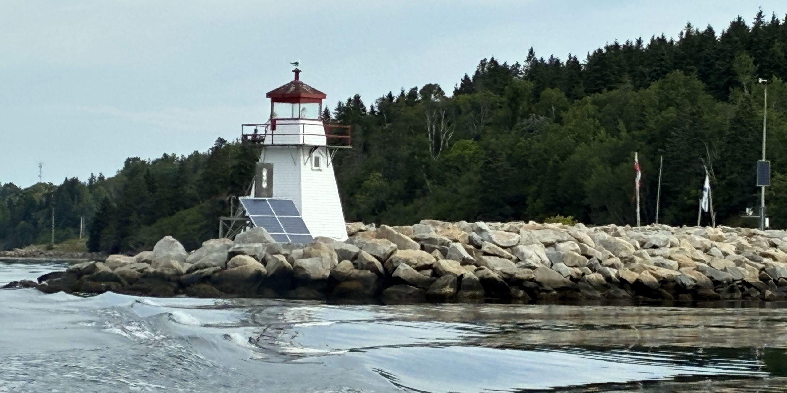
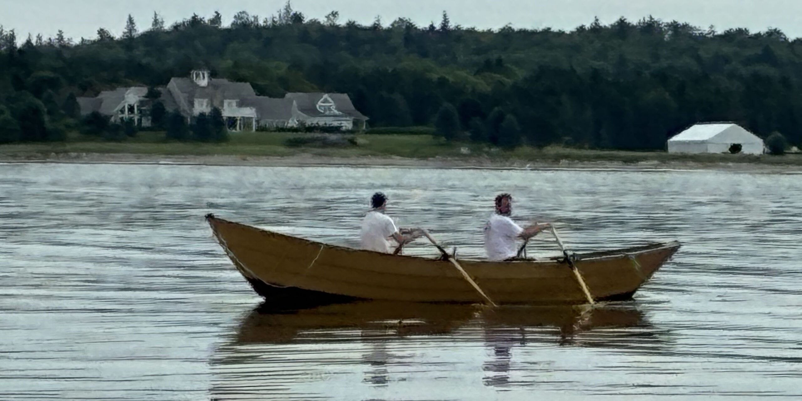
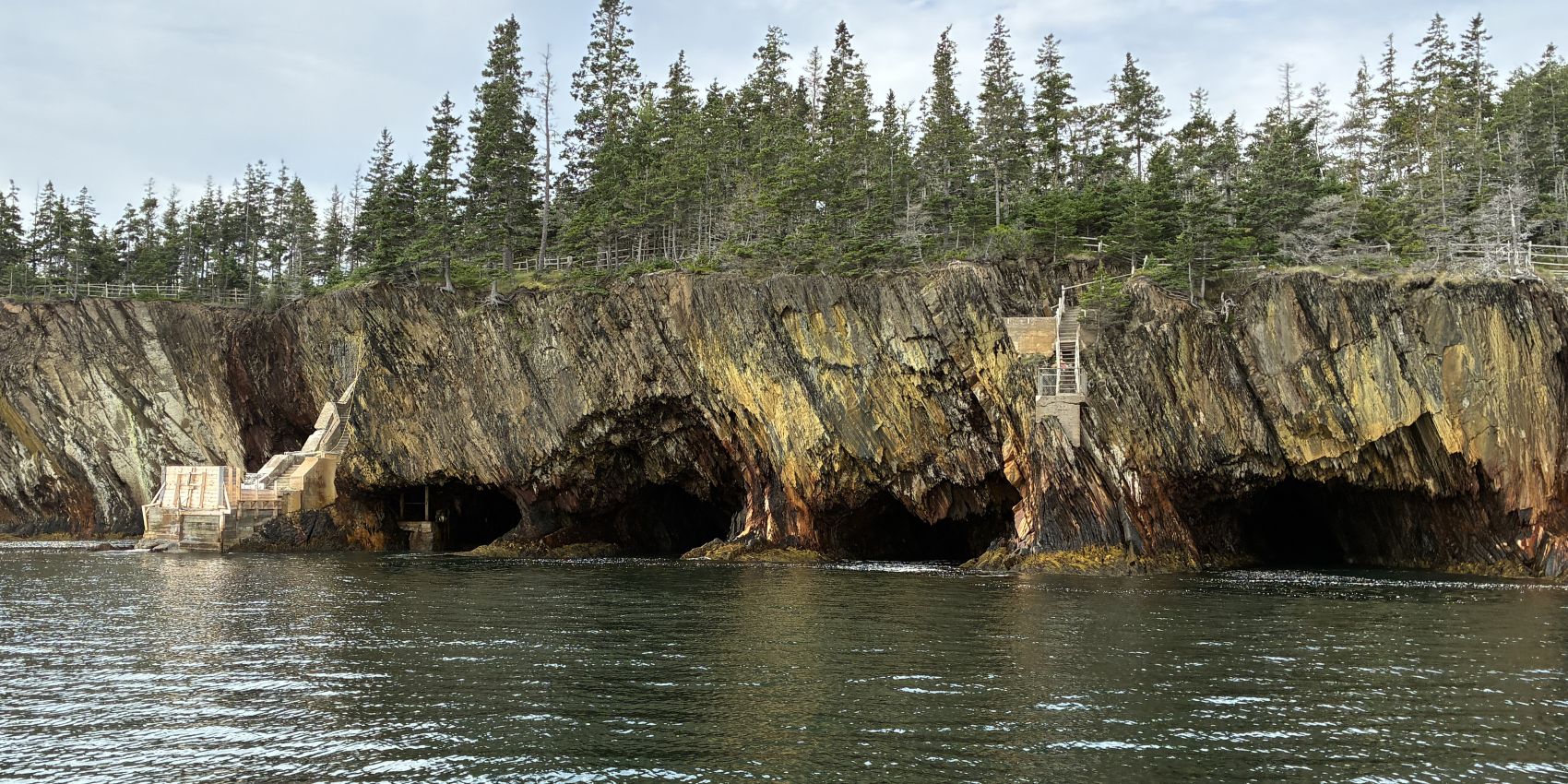
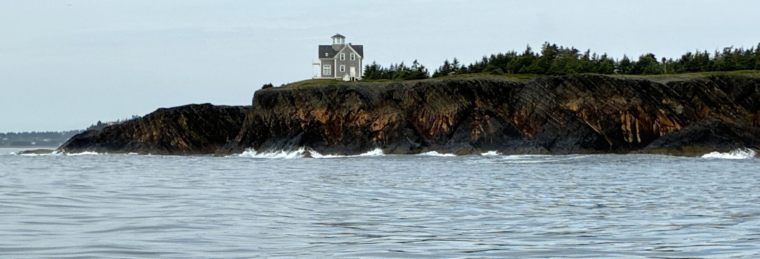
We sailed by the Ovens sea caves that we had visited the day before.
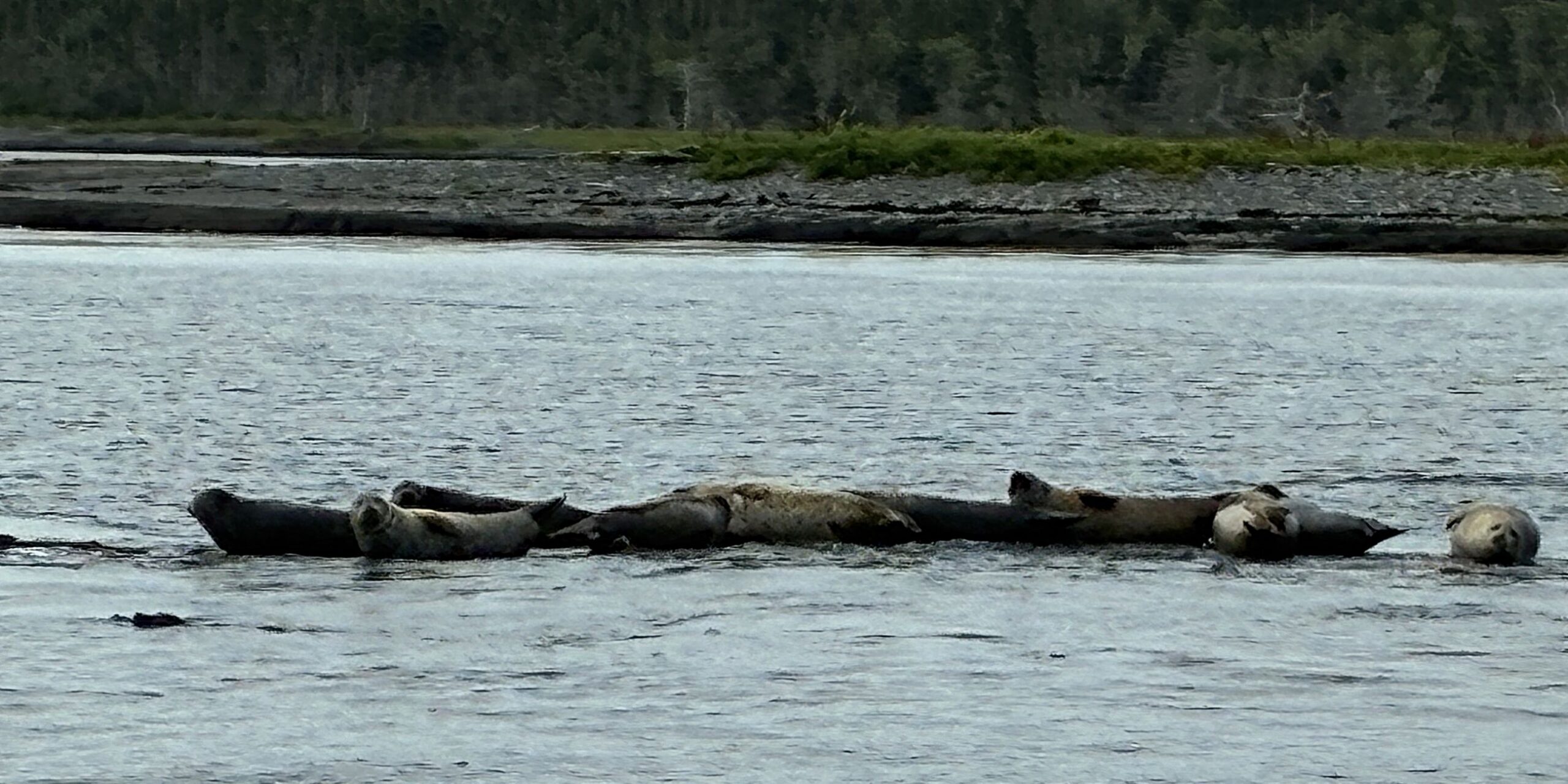
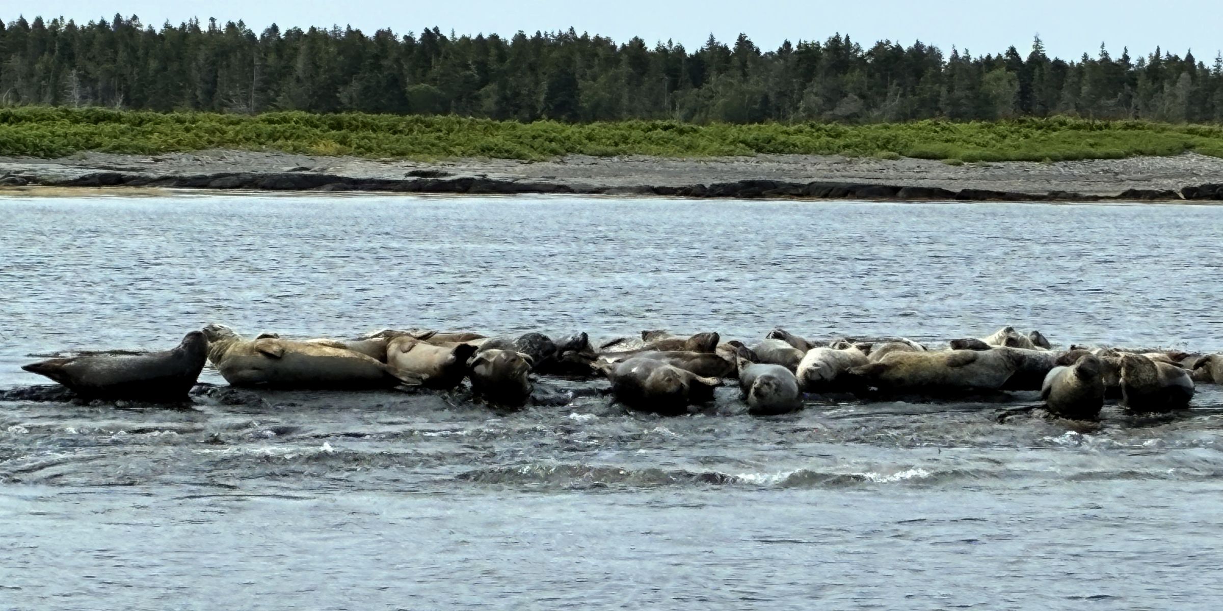
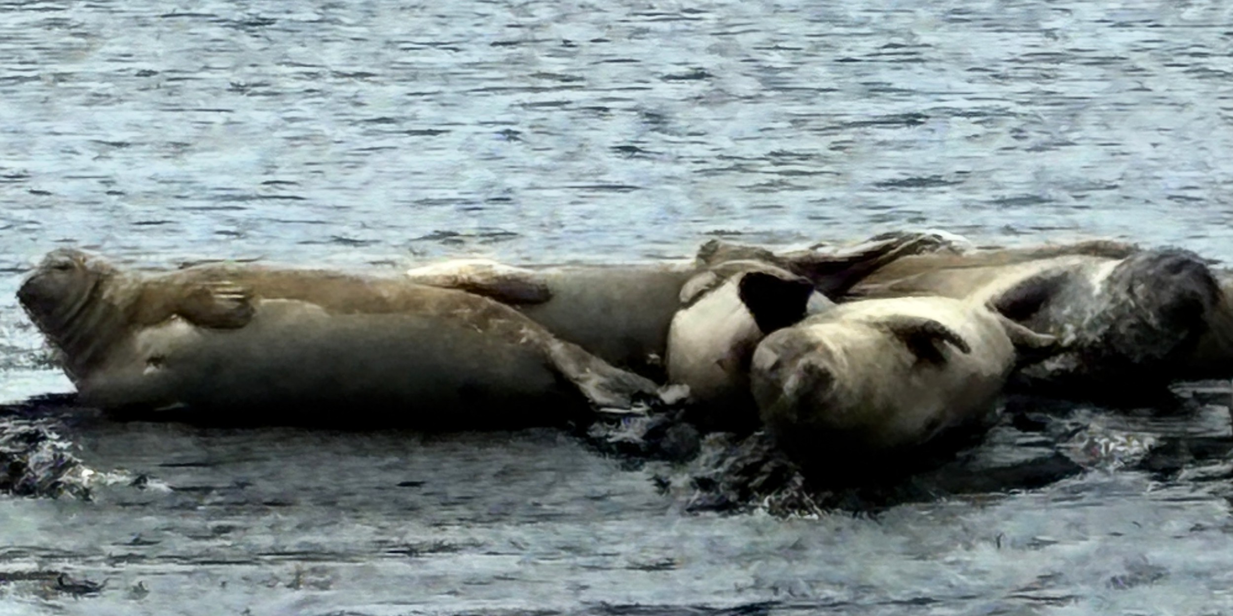
We came upon a colony of harbor seals!
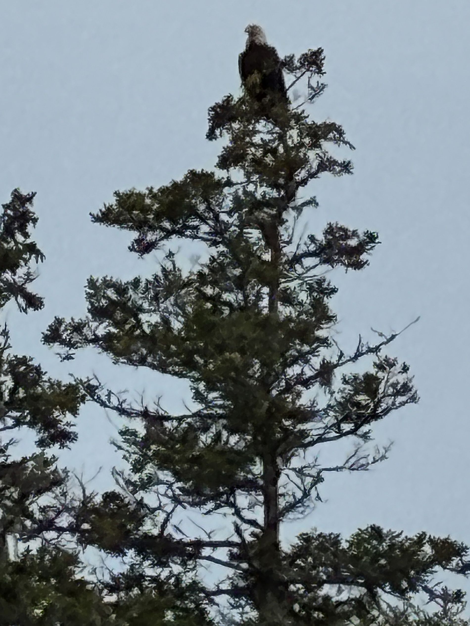
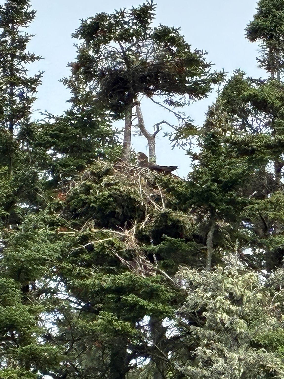
High atop a tree, a bald eagle was keeping guard. As we came a little closer, we could see the eaglet in the nest.
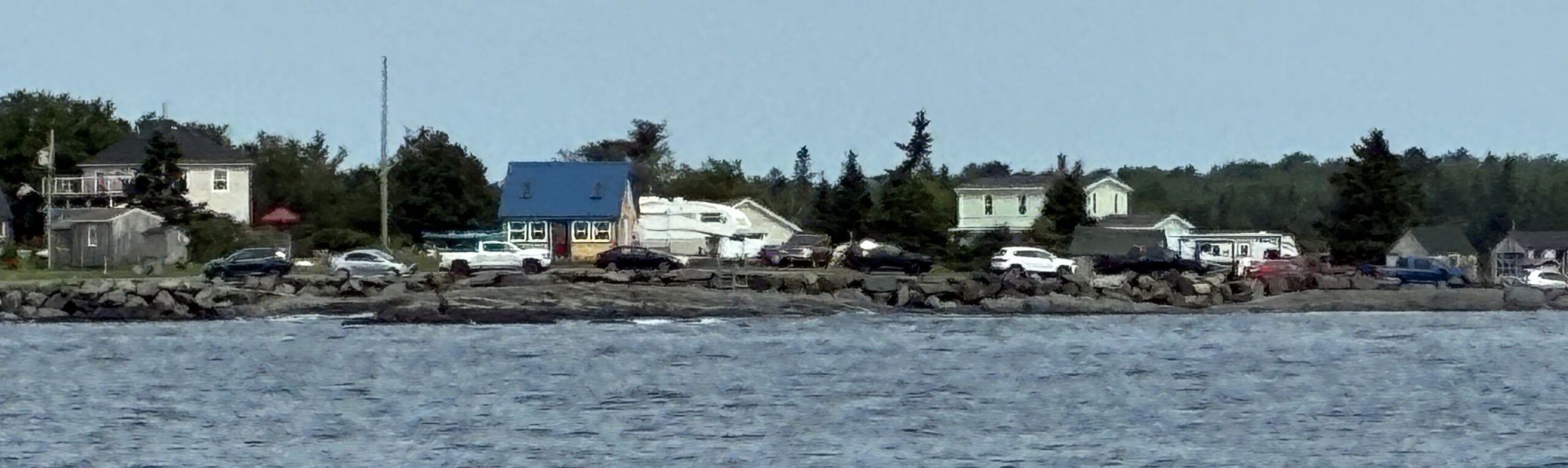
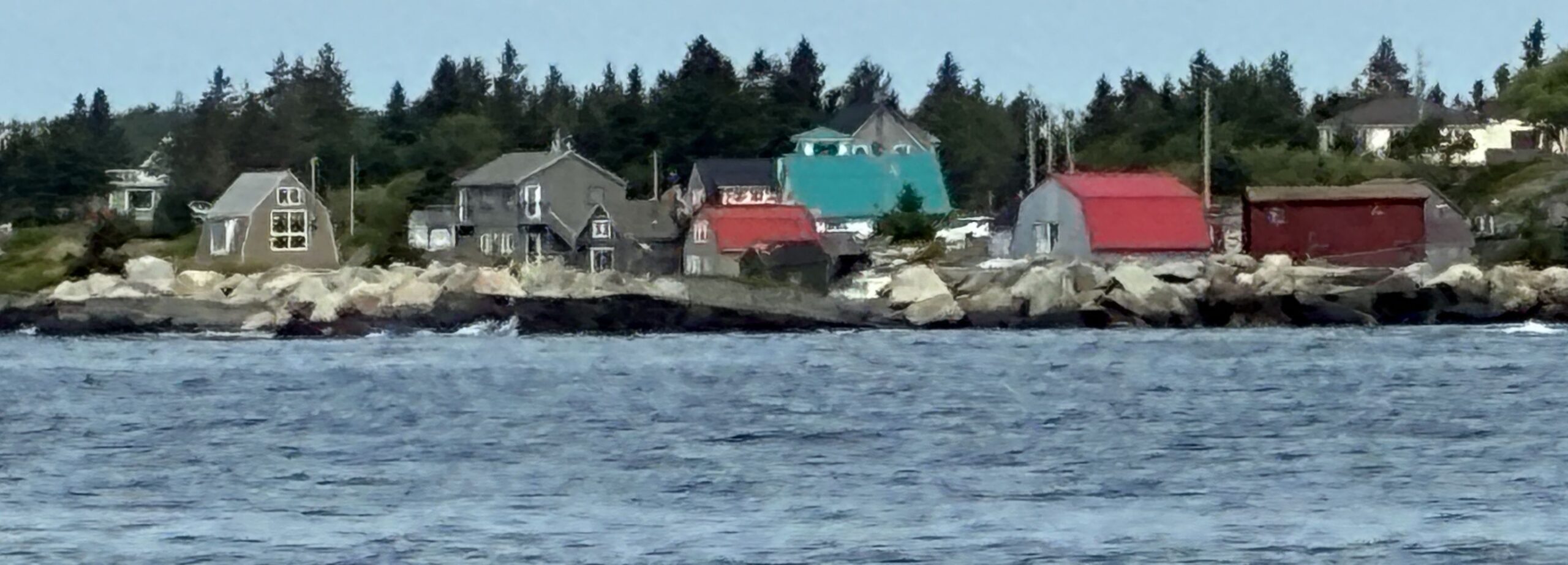
As we headed back to port, we could see Blue Rocks on the coast.
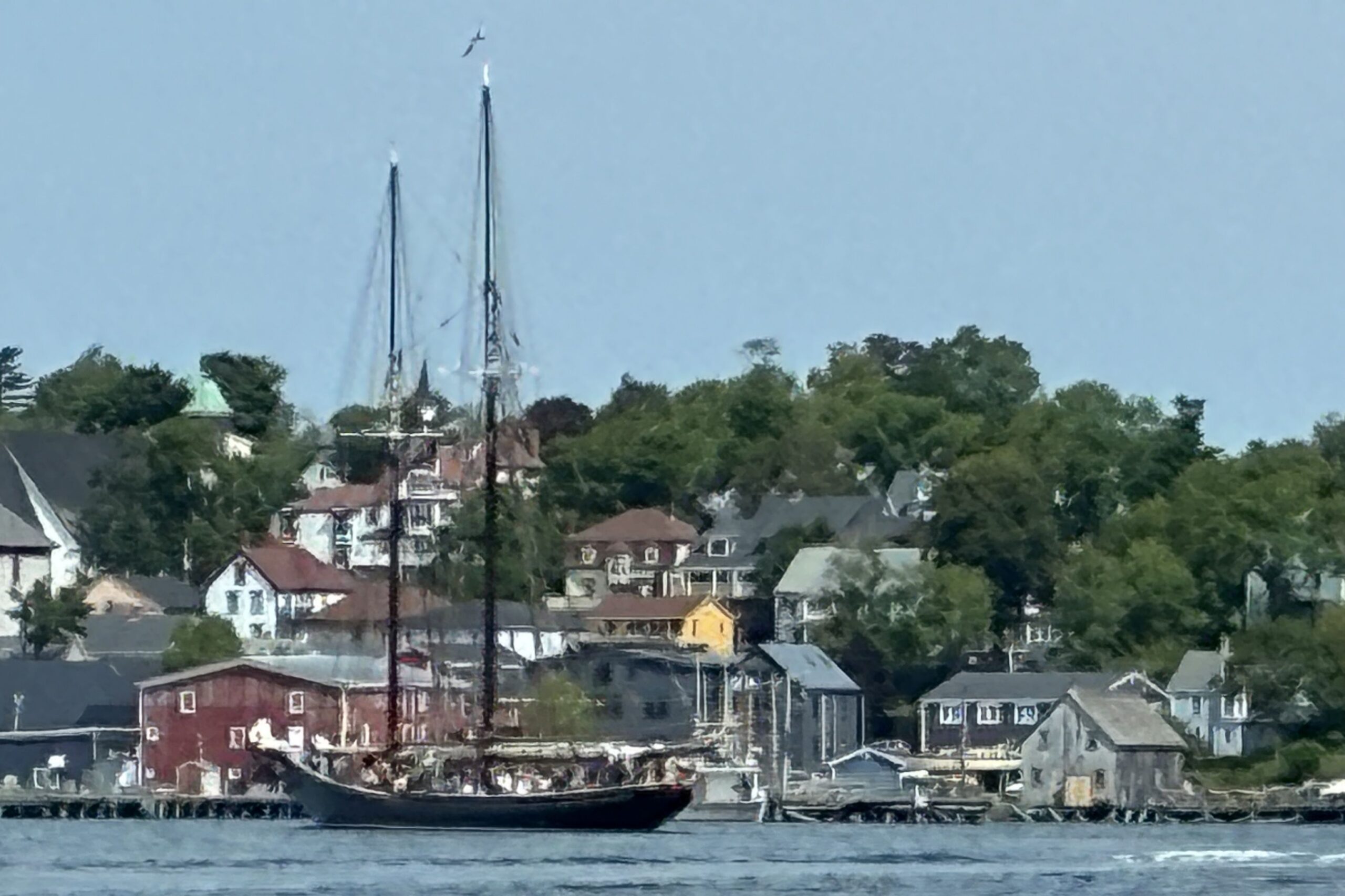
Looked like the Bluenose II was returning to port as well.
Though we did not see any whales, it was a great day to be out on the sea.
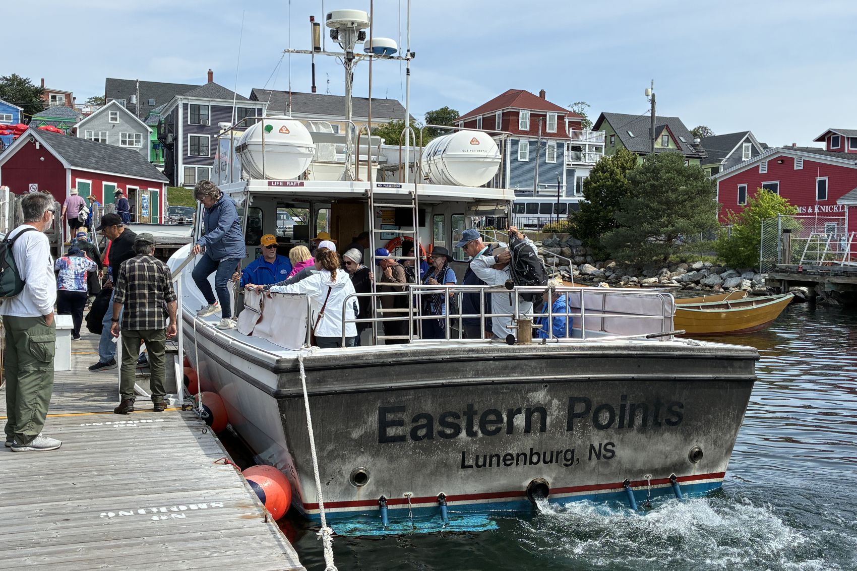
Sure enough, the Bluenose II was back at the pier and open to take a look!
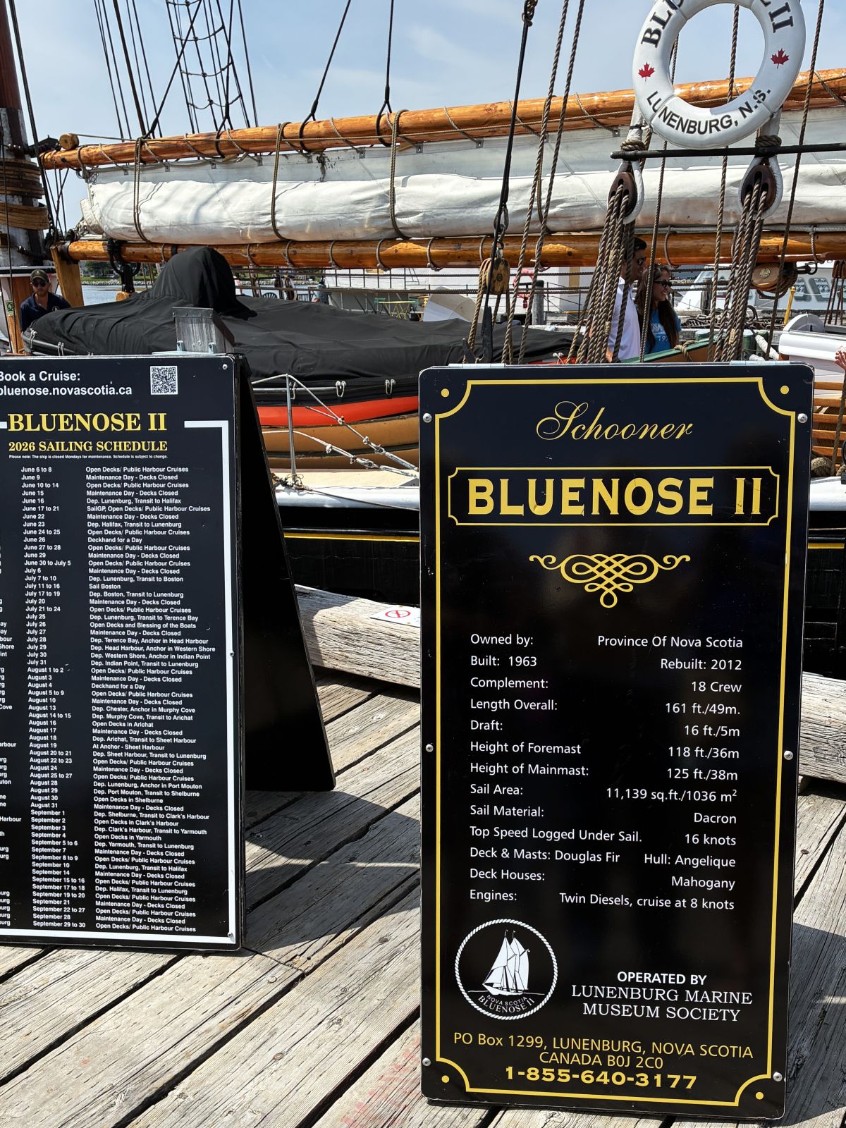
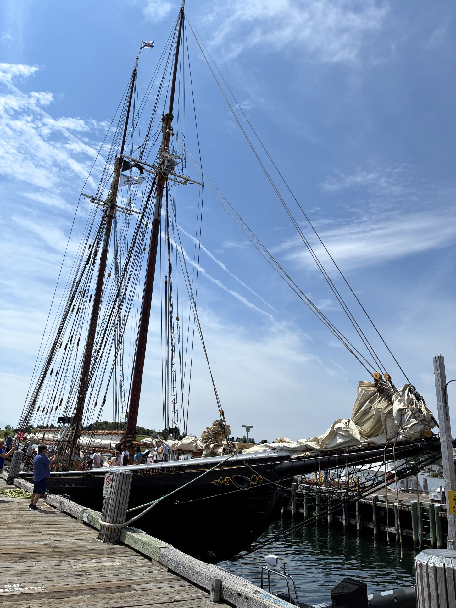
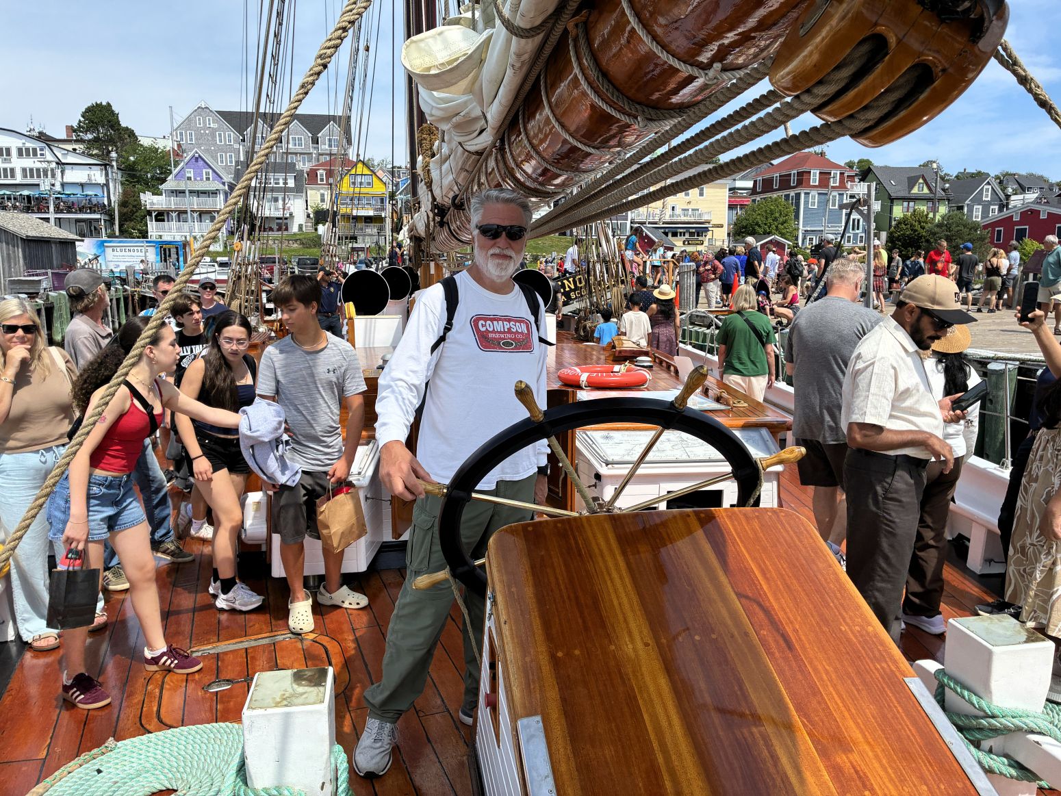
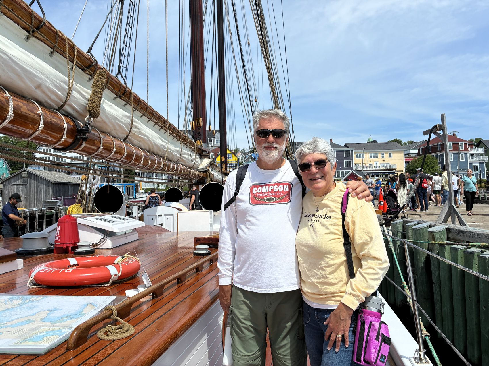
We needed a few groceries, and when we looked for chips, there were some we had never seen before…


On August 3rd we left Lunenburg at 10:50am with 113,315.4 miles on Acey and 145,423 on Thor. We arrived at Woodhaven RV Park in Hammonds Plains, NS (near Halifax) at 1:15pm. Our Ambassadors fixed another meal at the campground for dinner that evening.
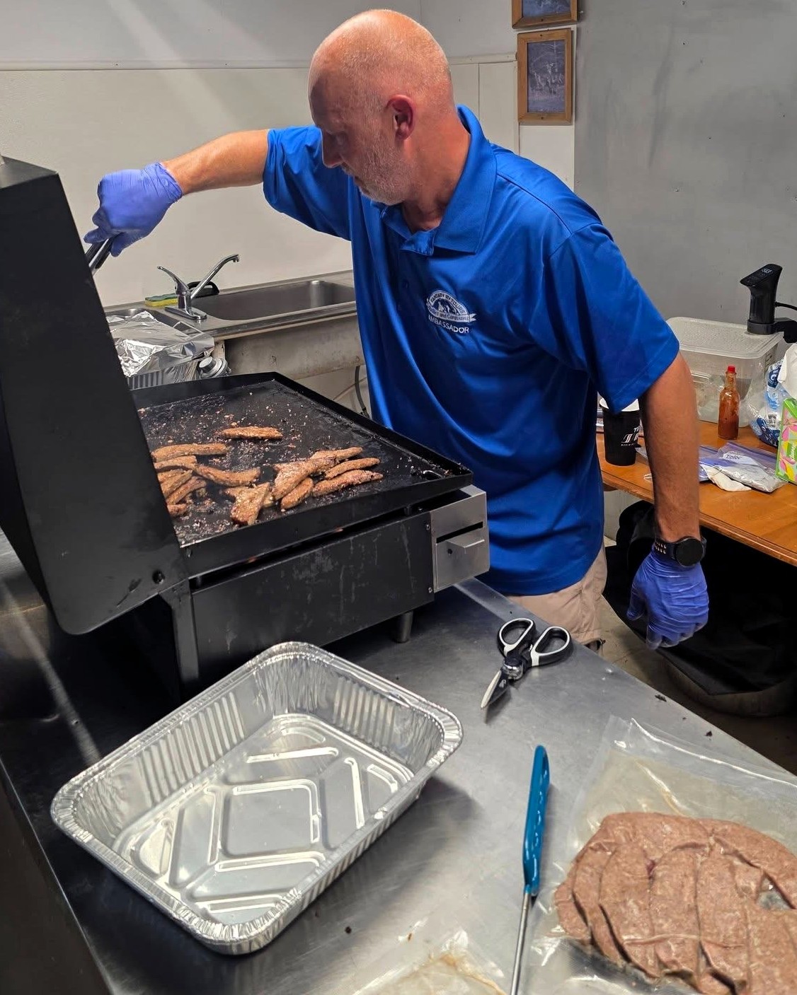
After dinner, we had a travel briefing for our next stop in North Sydney; a full day touring Halifax was planned for the next day. Then we played “Bingo” using playing cards – that was fun!
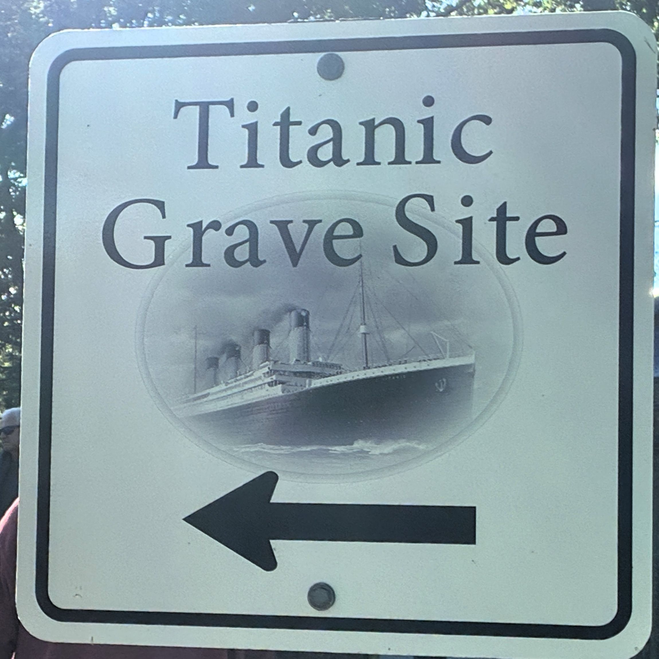
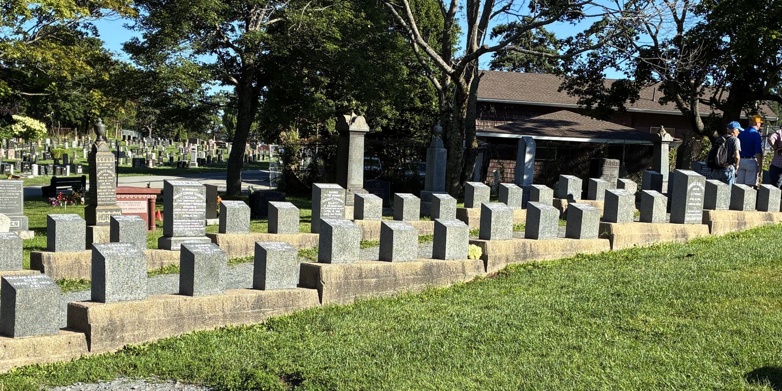
We boarded the bus at 8am on August 4th for a guided tour of Halifax. Our first stop was the Fairlawn Cemetery where many of the Titanic victims were buried. The Titanic set out on her maiden voyage on April 10, 1912, with over 2,200 passengers and crew aboard. Four days later, she struck an iceberg south of Newfoundland. She sank in less than three hours. Just over 700 survivors in lifeboats were rescued by the Carpathia and taken to New York. Four Canadian vessels were sent to look for bodies in the area of the disaster and were able to recover 328 Titanic victims. Many were buried at sea, but 150 bodies were brought to Halifax for burial; 121 at Fairview Lawn Cemetery, 19 at Mount Olivet Catholic Cemetery, and 10 at the Baron de Hirsch Jewish Cemetery. 59 bodies were claimed and taken elsewhere for burial.
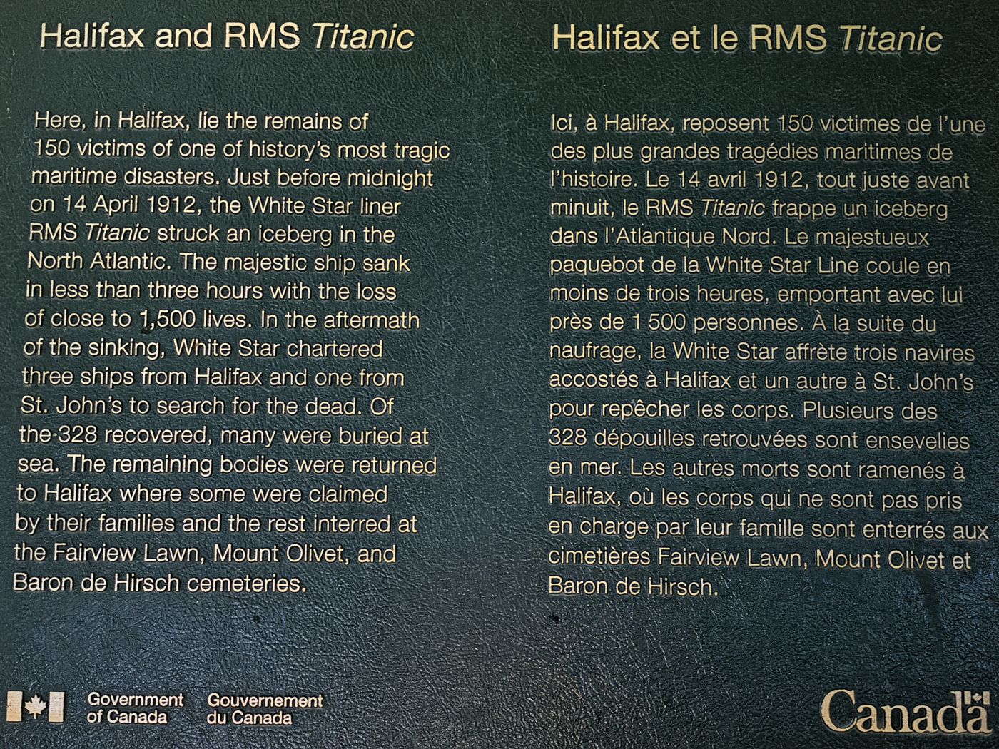
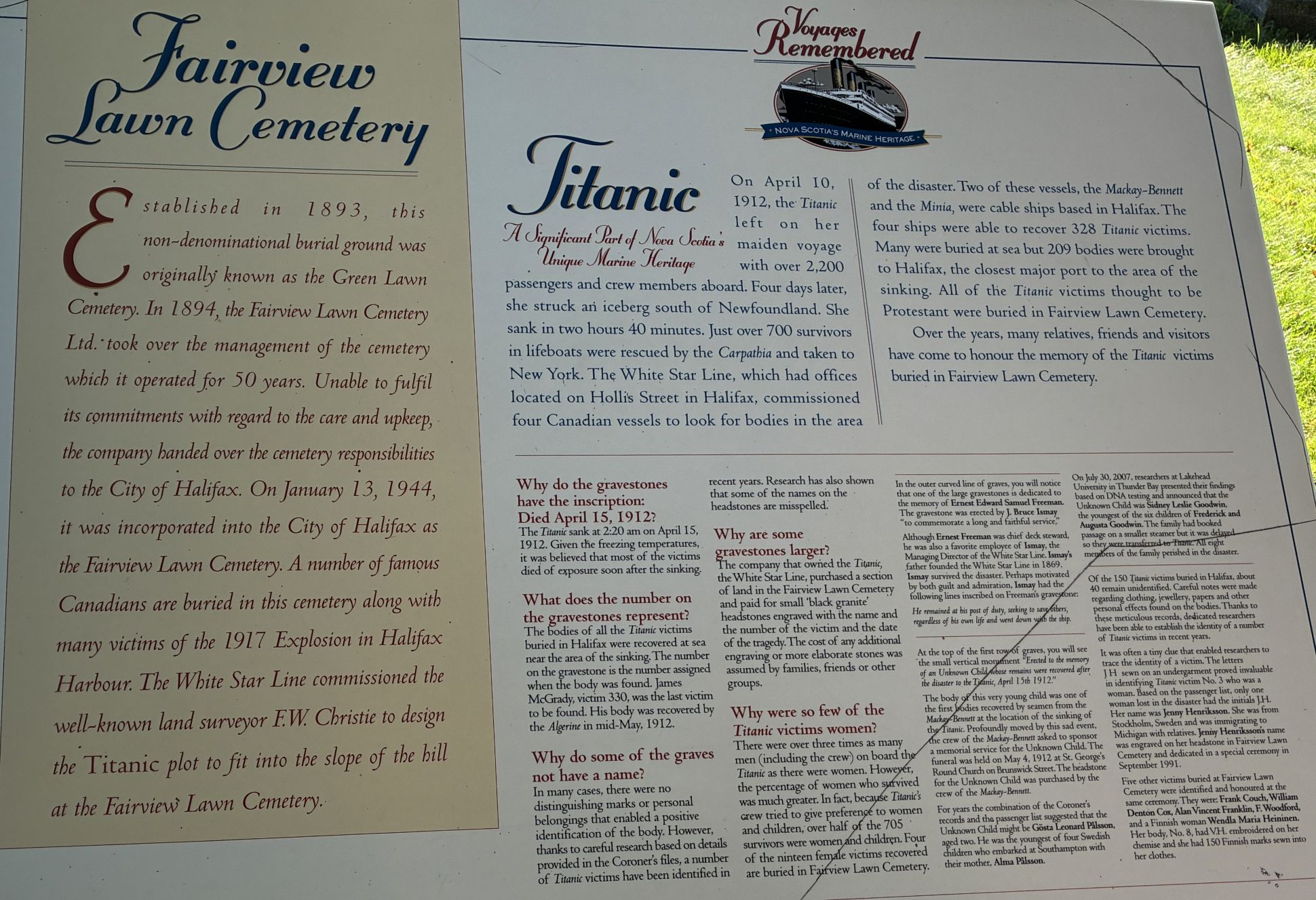
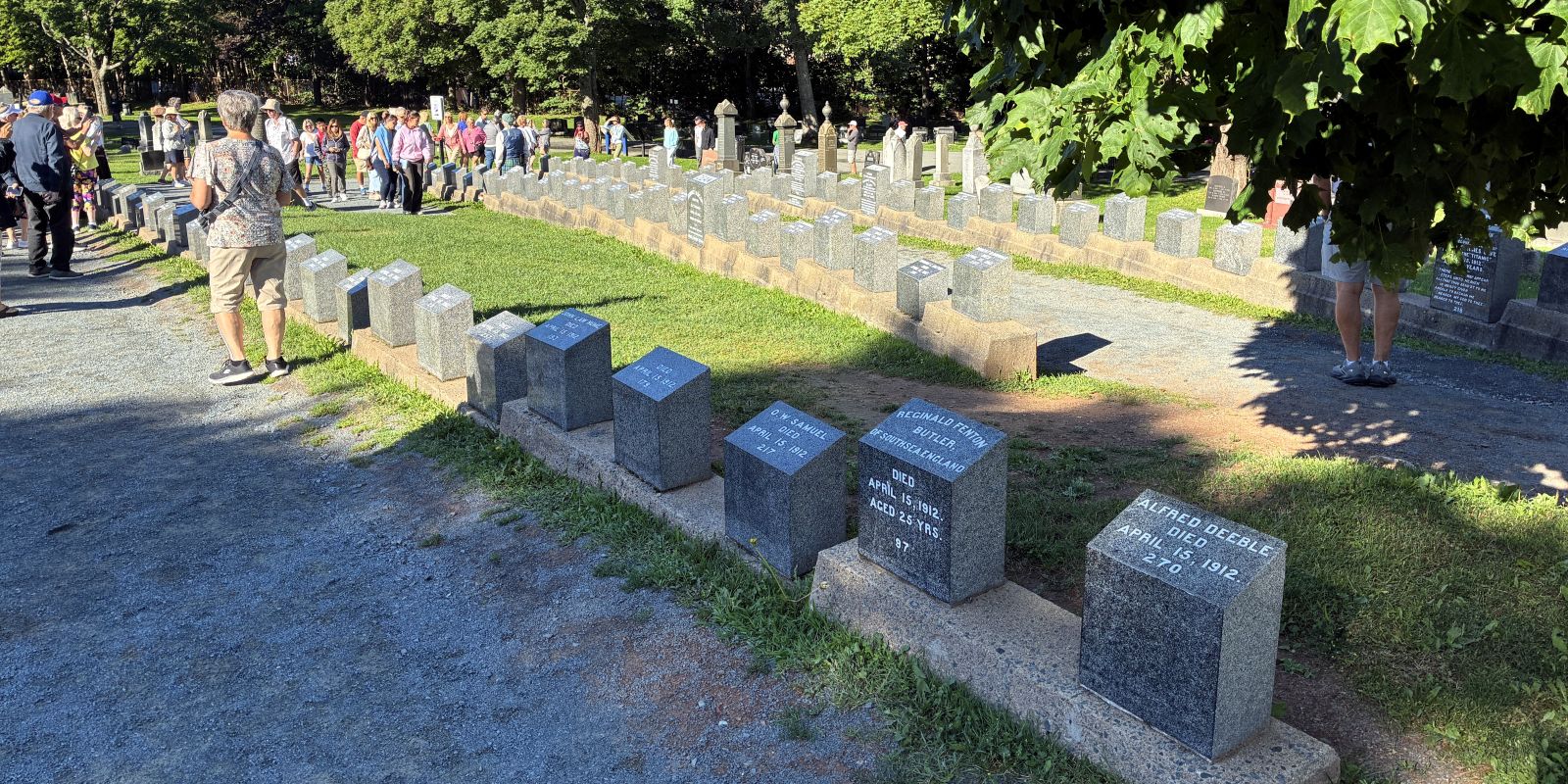
Bodies recovered from the Titanic were assigned a number and identified using evidence found on or in their clothing, and many were laid out in a makeshift morgue in Halifax, Nova Scotia, to allow relatives to identify them. Each body was documented, and efforts were made to match them with missing persons reports.
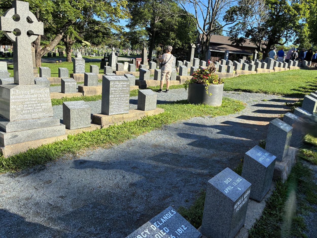
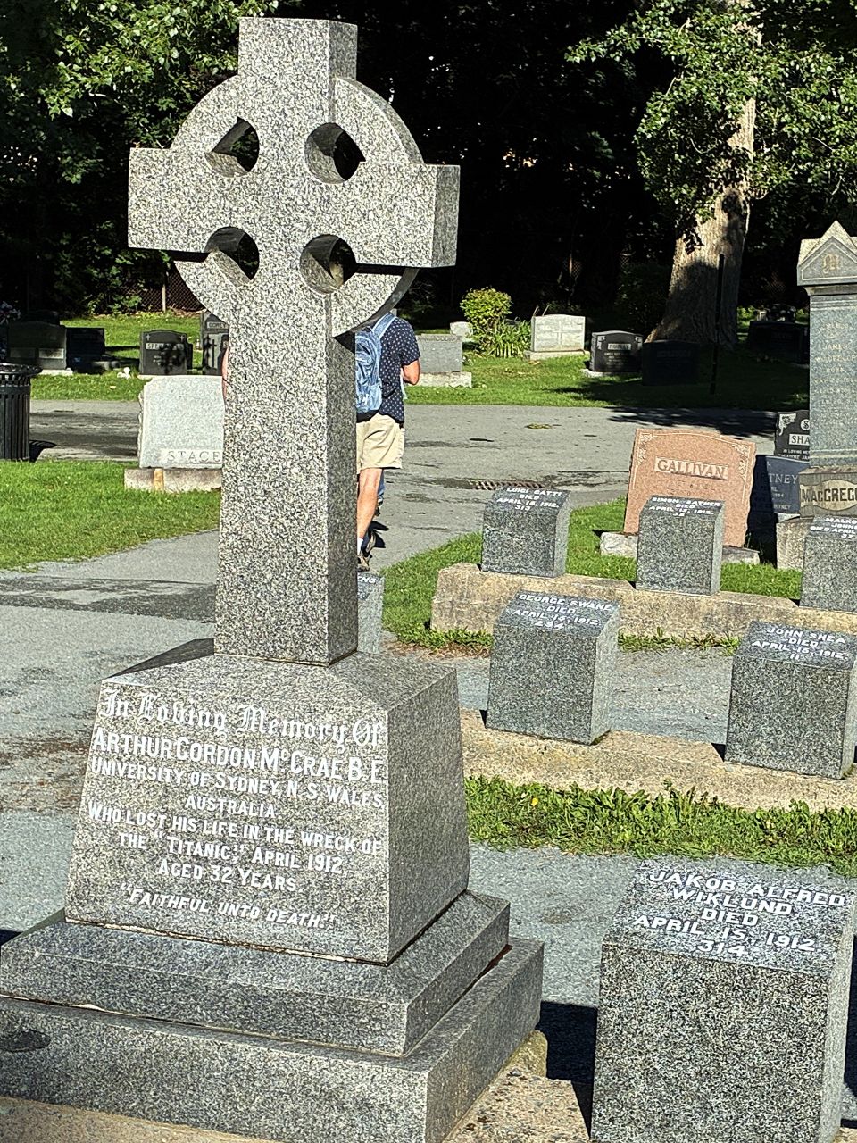
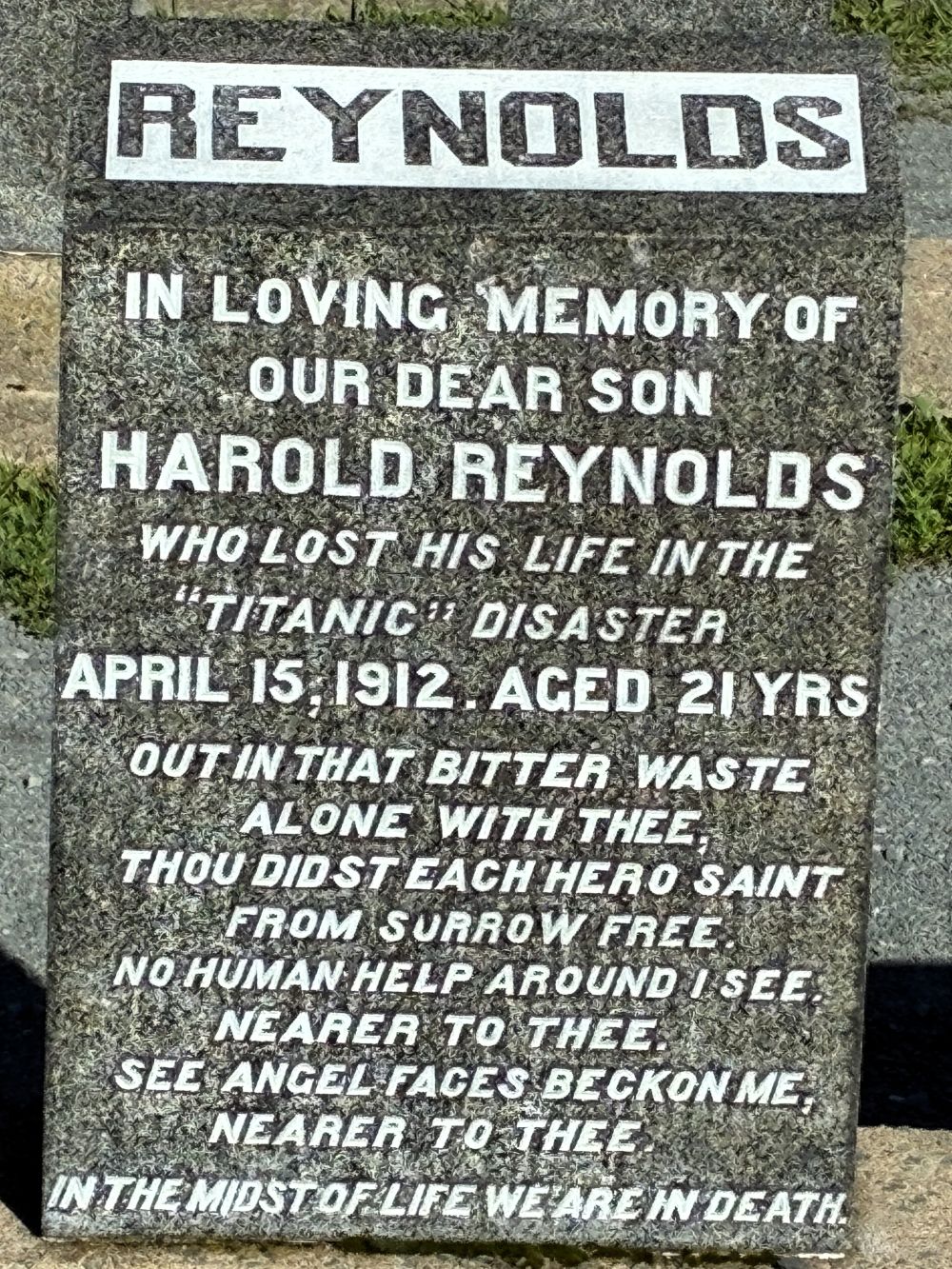
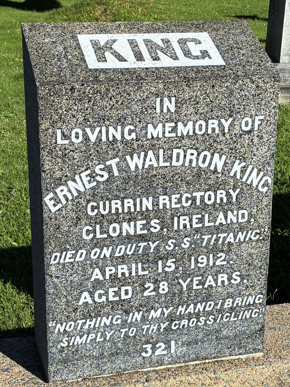
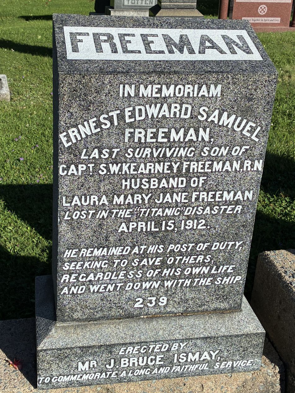
Ernest Waldron King was an Assistant Purser on the Titanic. Ernest Edward Samuel Freeman served as Chief Deck Steward on the Titanic, but he was essentially a secretary to White Star chairman Bruce Ismay who arranged for the installation of a grave marker and corresponded with the family regarding what they wished engraved.
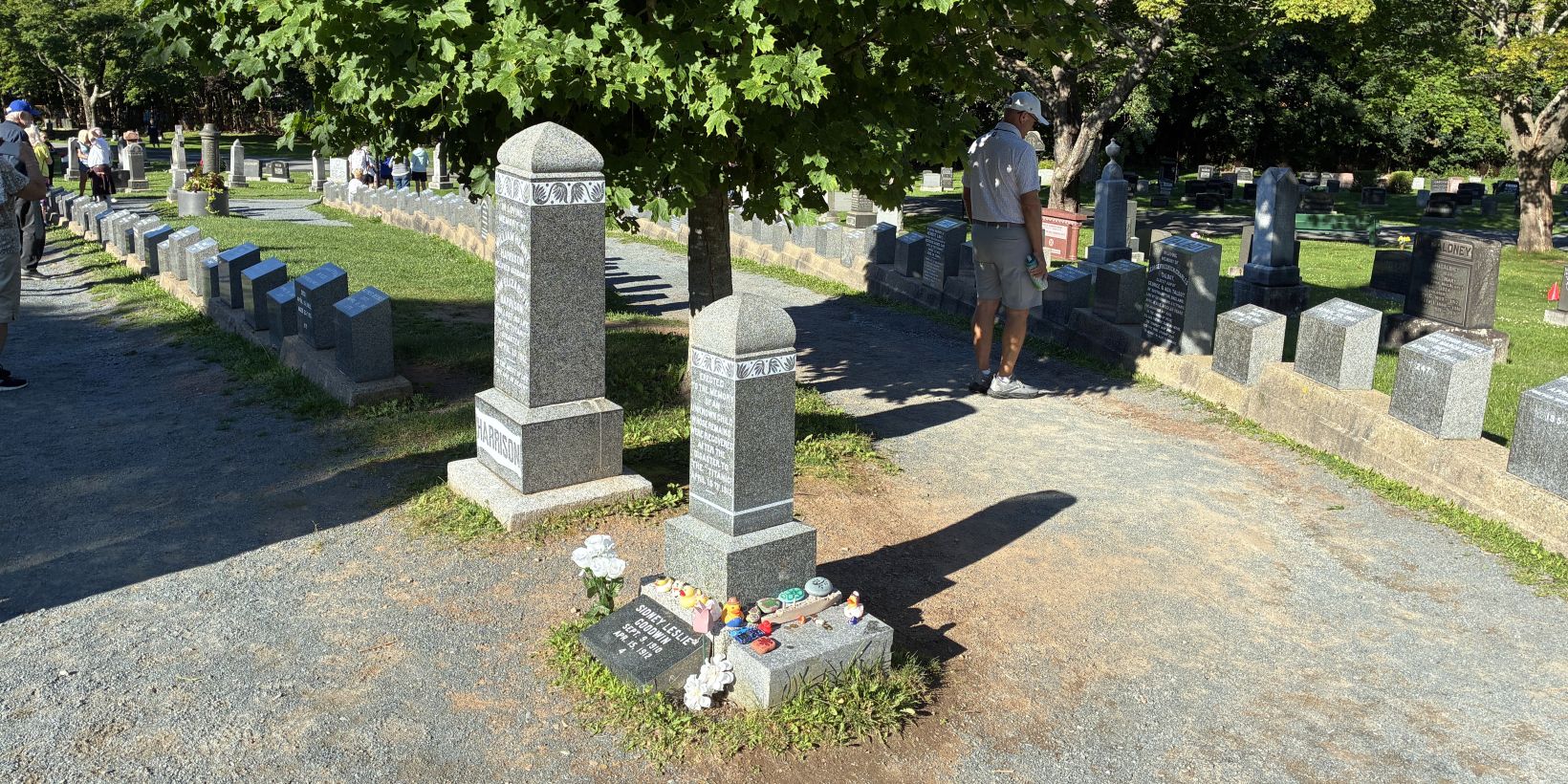
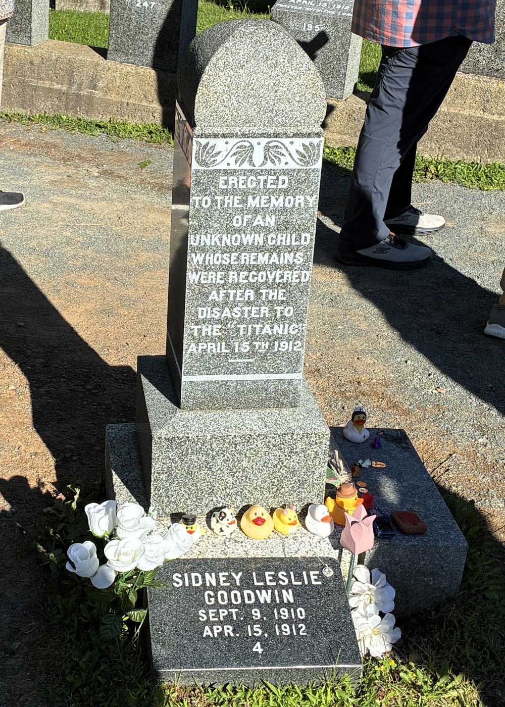
This infant’s body could not be identified at the time of burial. Almost a century later, in 2007 it was determined to be the body of 19-month-old British toddler Sidney Leslie Goodwin; the only remains of his family of 8 to be recovered from the sea.
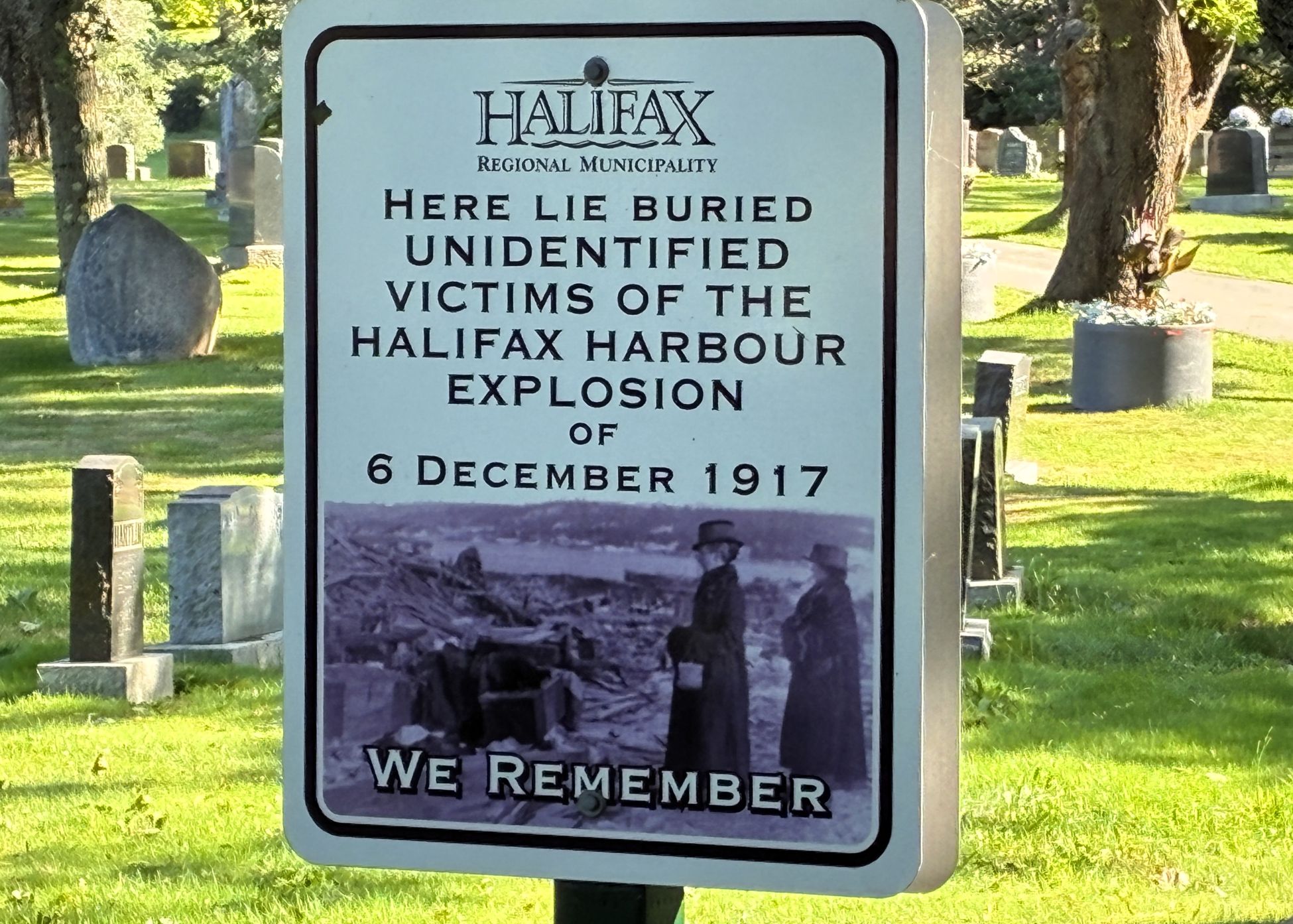
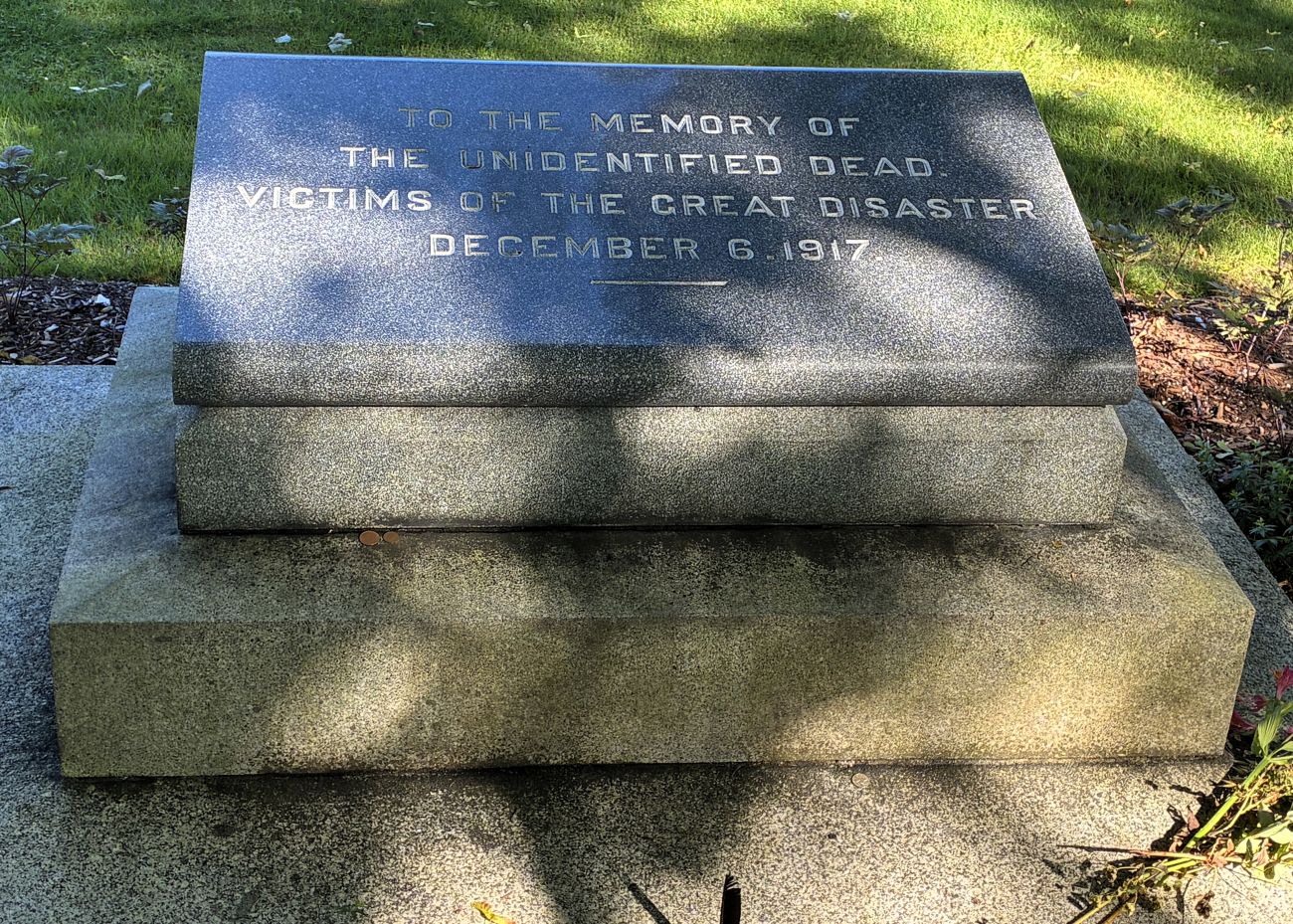
Also buried there are victims of the Halifax Explosion of December 6, 1917; just 5 years later. The French cargo ship SS Mont-Blanc (laden with high explosives) collided at low speed with the Norwegian vessel SS Imo in Halifax Harbour, Nova Scotia. Mont-Blanc caught fire and detonated, devastating the Richmond district of Halifax. At least 1,782 people were killed by the blast, debris, fires, or collapsed buildings and about 9,000 others were injured. The blast was the largest human-made explosion at the time.
Our next stop was the Halifax Public Gardens – and it was interesting to find out about yet another disaster that affected Halifax. On September 29, 2003, Hurricane Juan struck Halifax as a Category 2 hurricane, the first hurricane of significant strength to hit Nova Scotia since 1893.
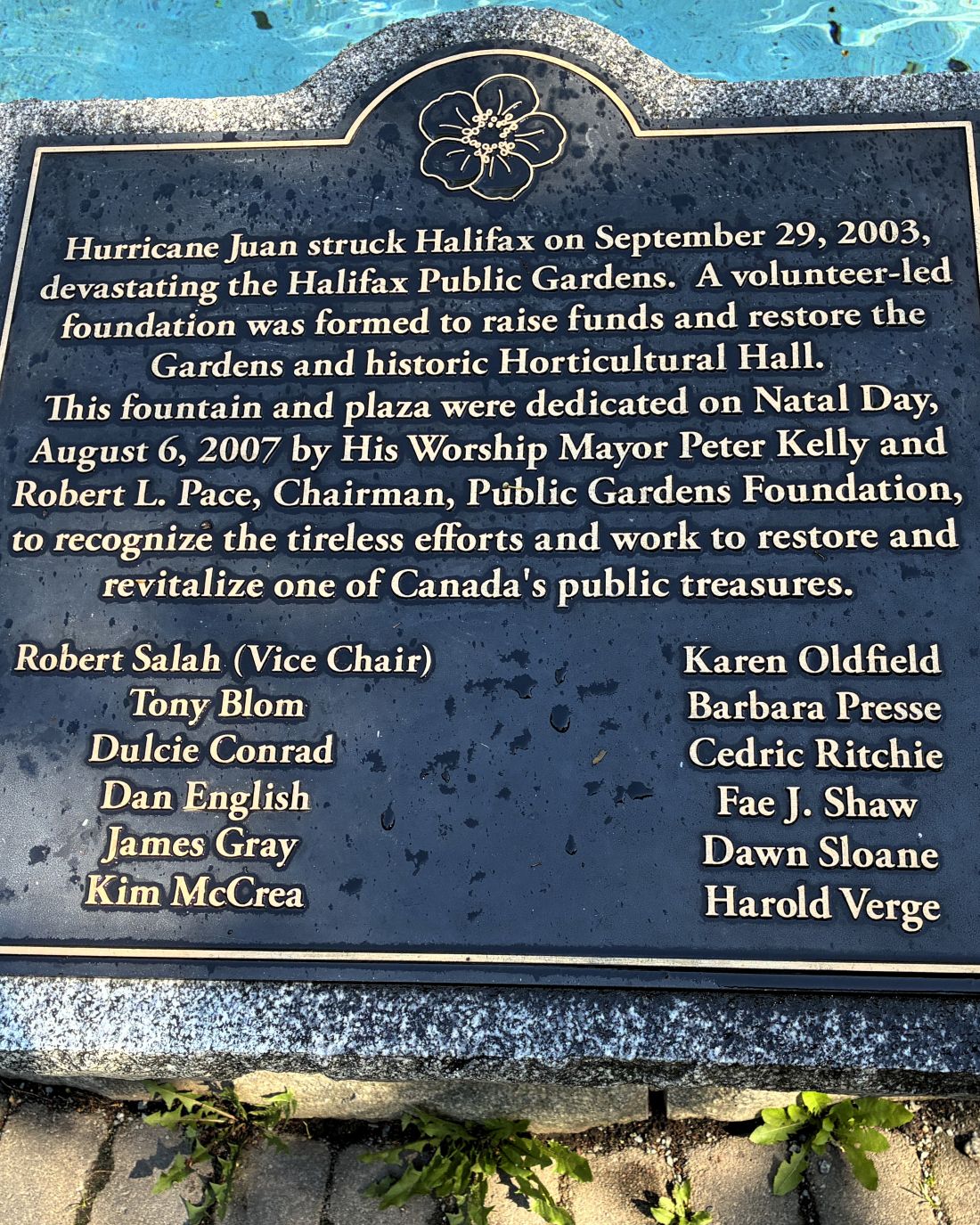
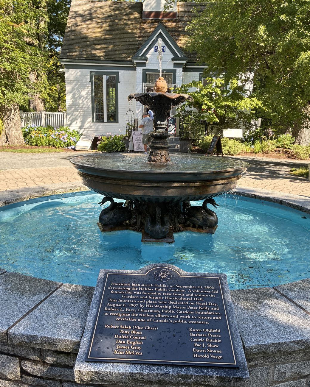
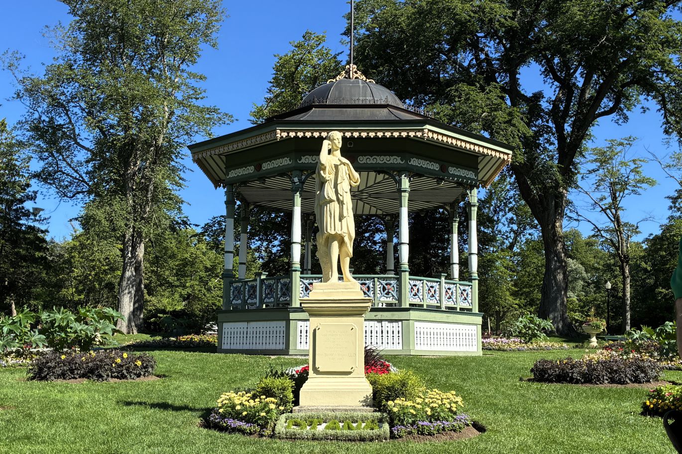
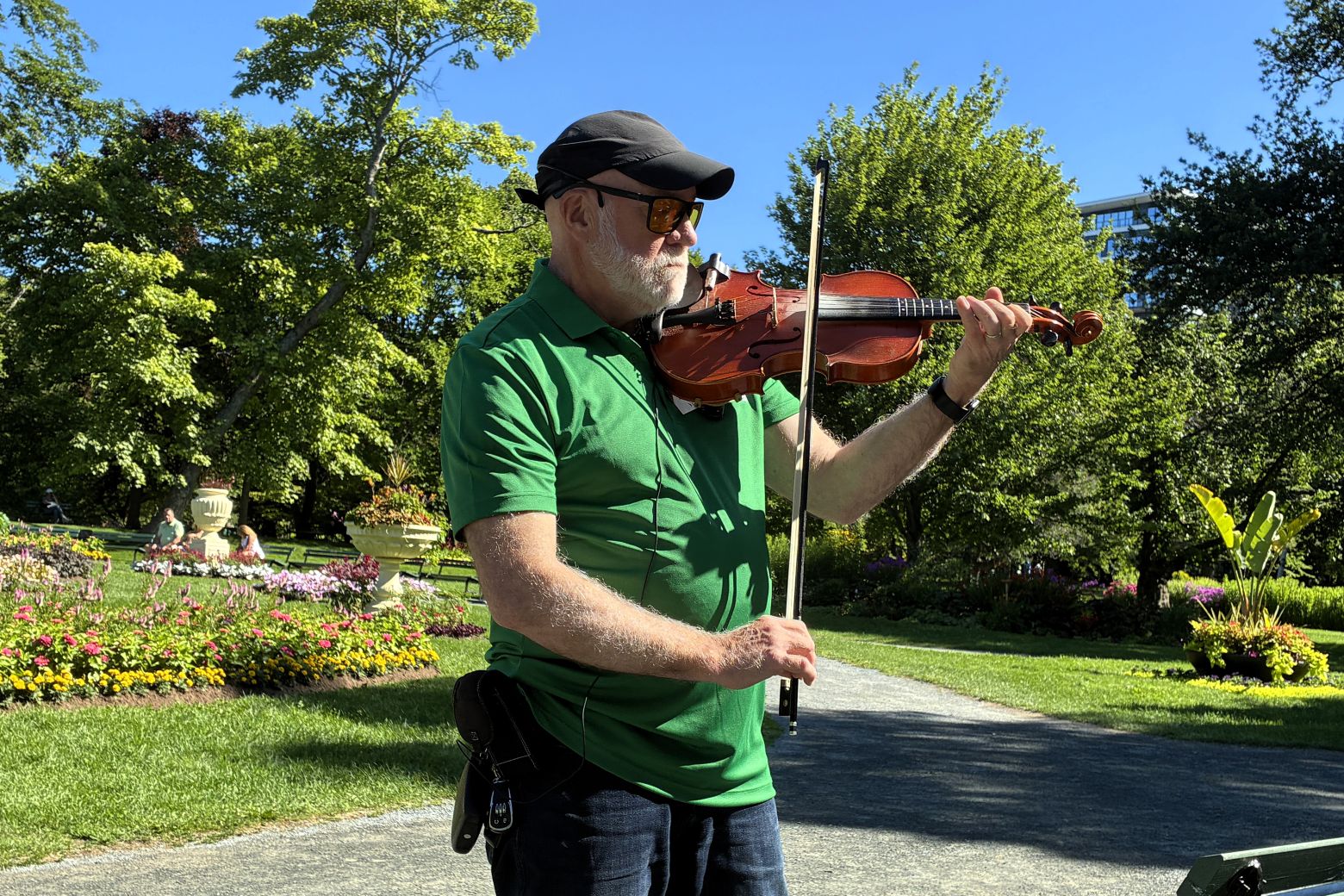
Our tour guide entertained us by playing a few tunes on his fiddle!
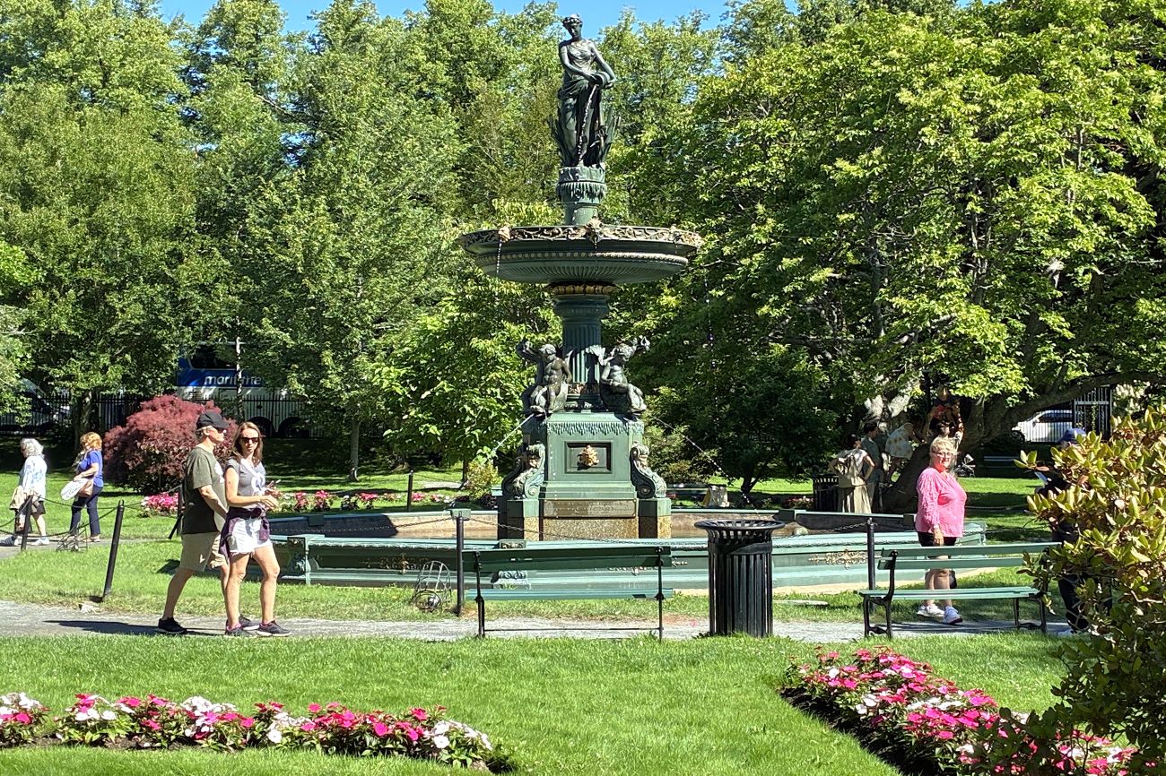
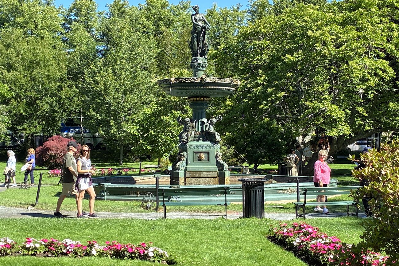
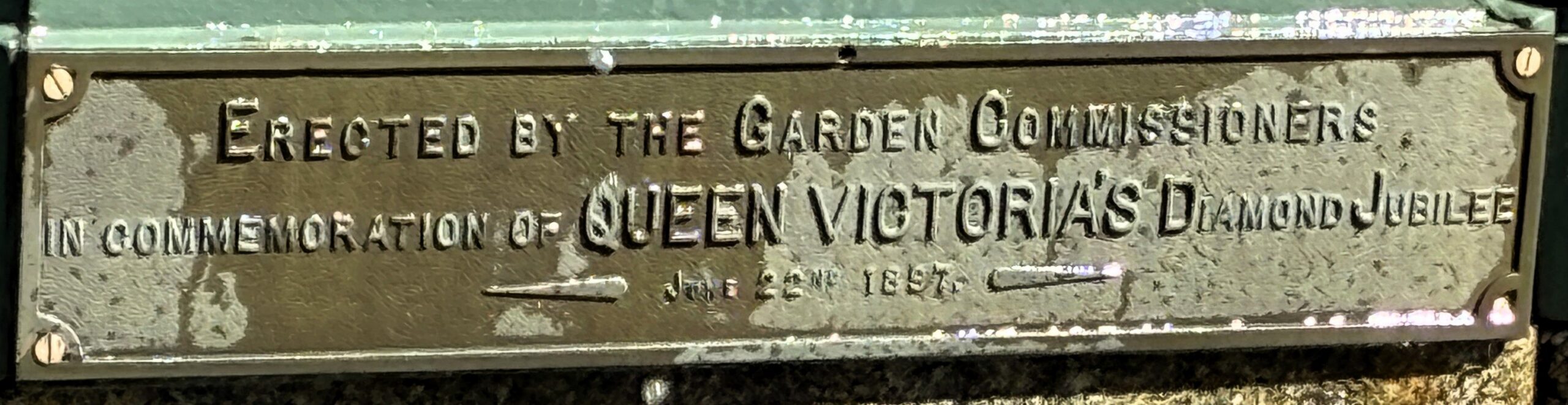
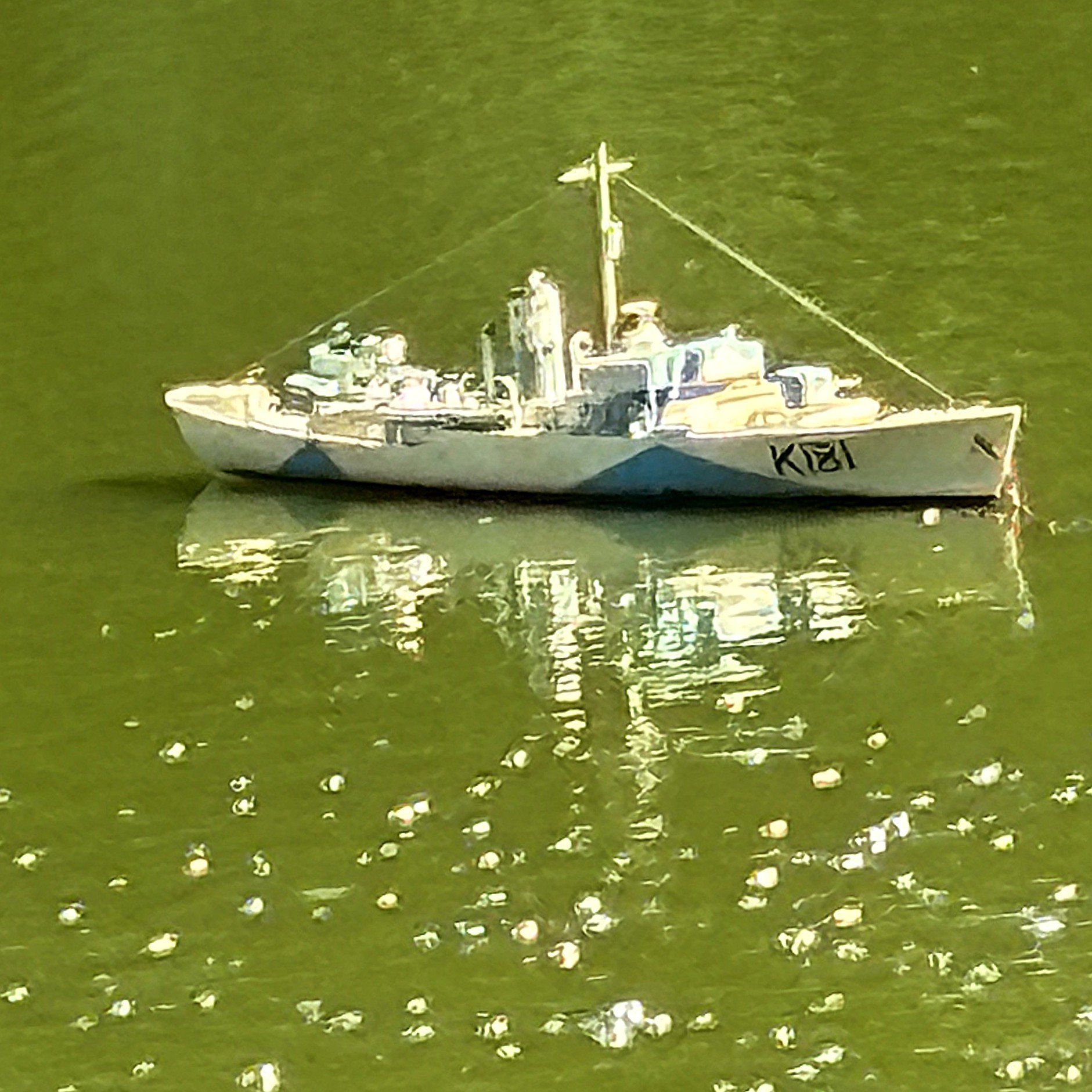
Across the pond, two ships were floating about; HMCS Sackville and the TItanic.
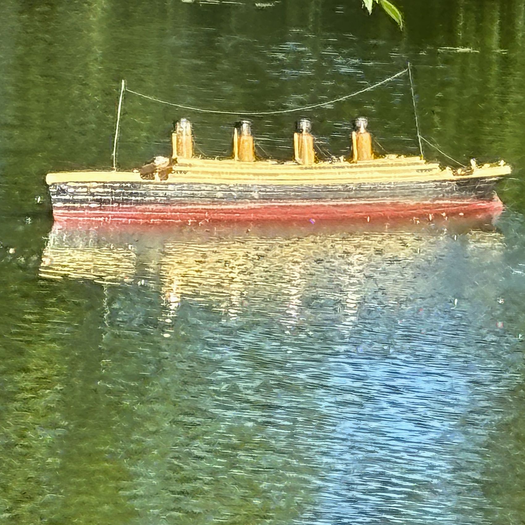
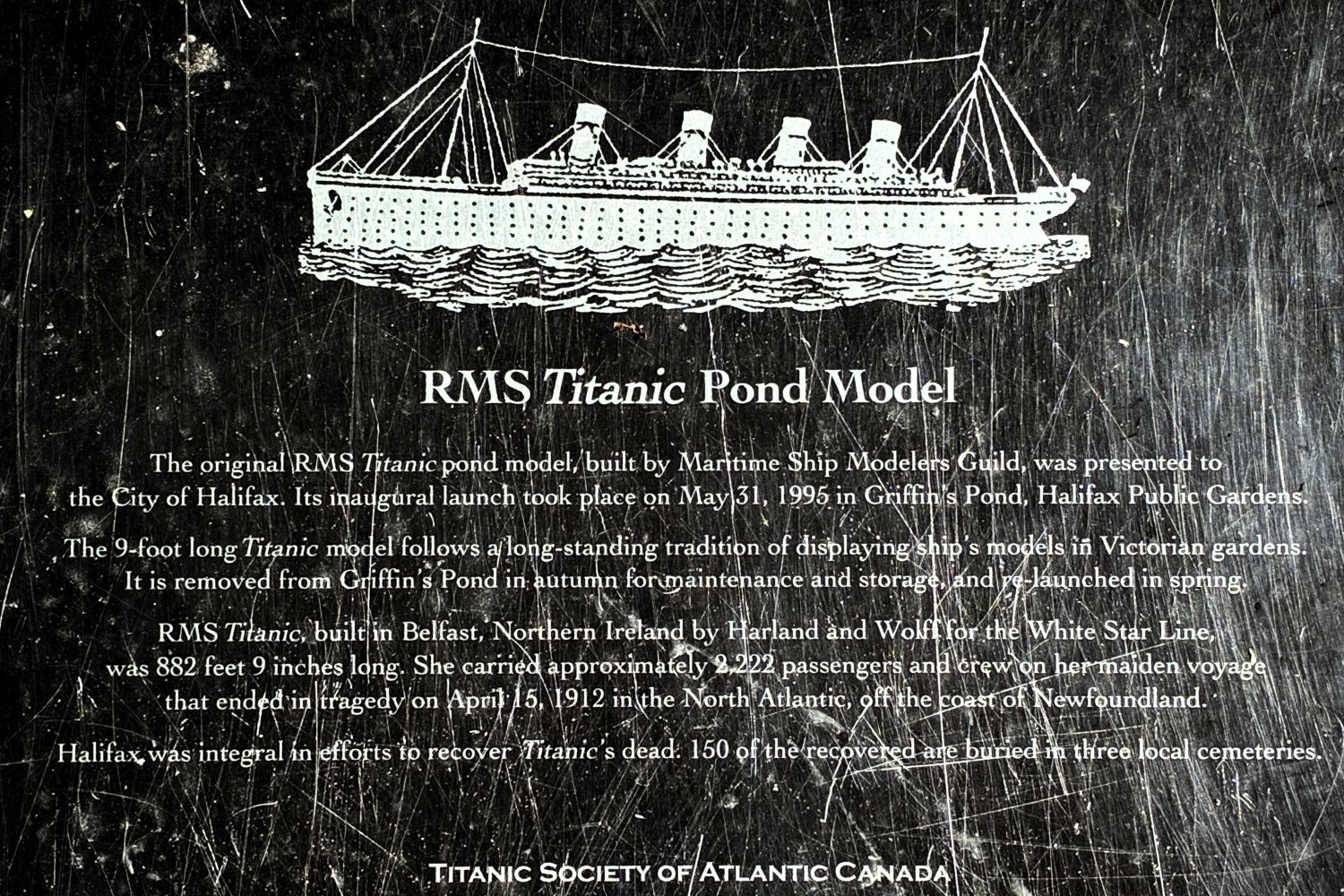
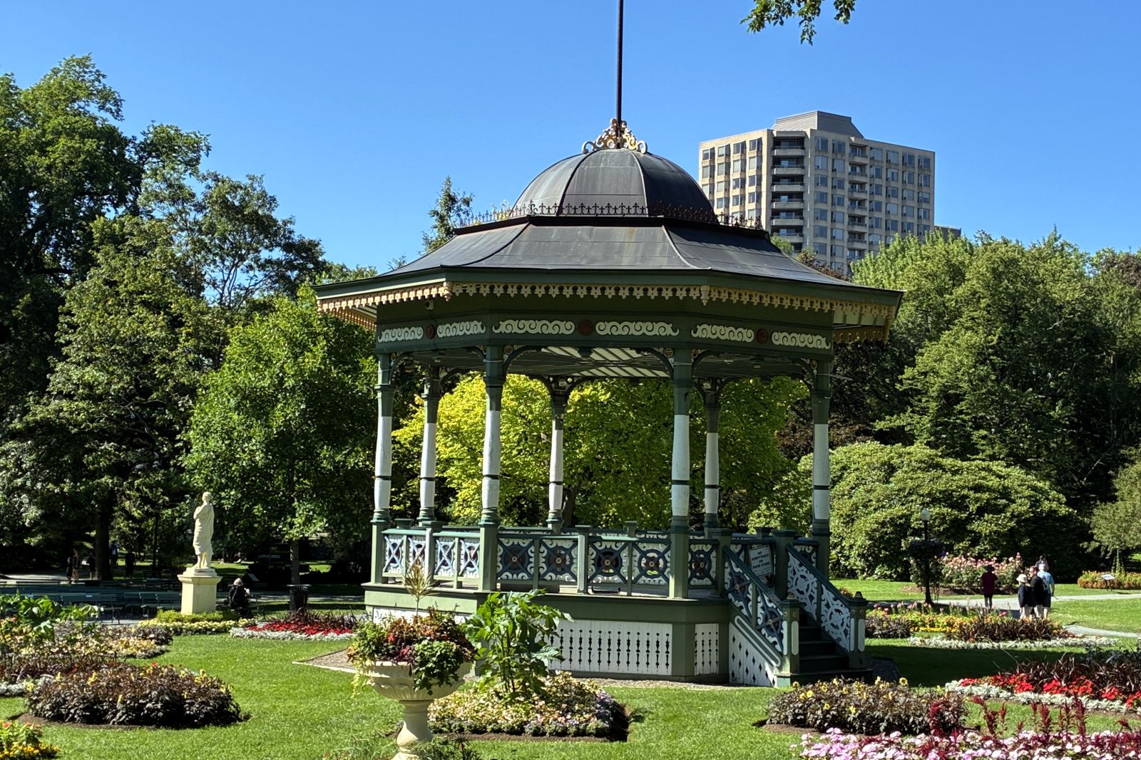
We boarded the bus and headed to the Citadel National Historic Site. The fort is located on a hill overlooking downtown Halifax.
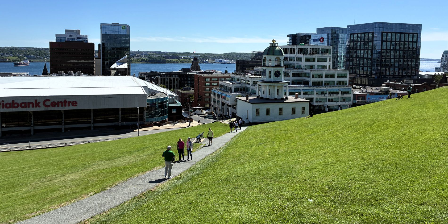
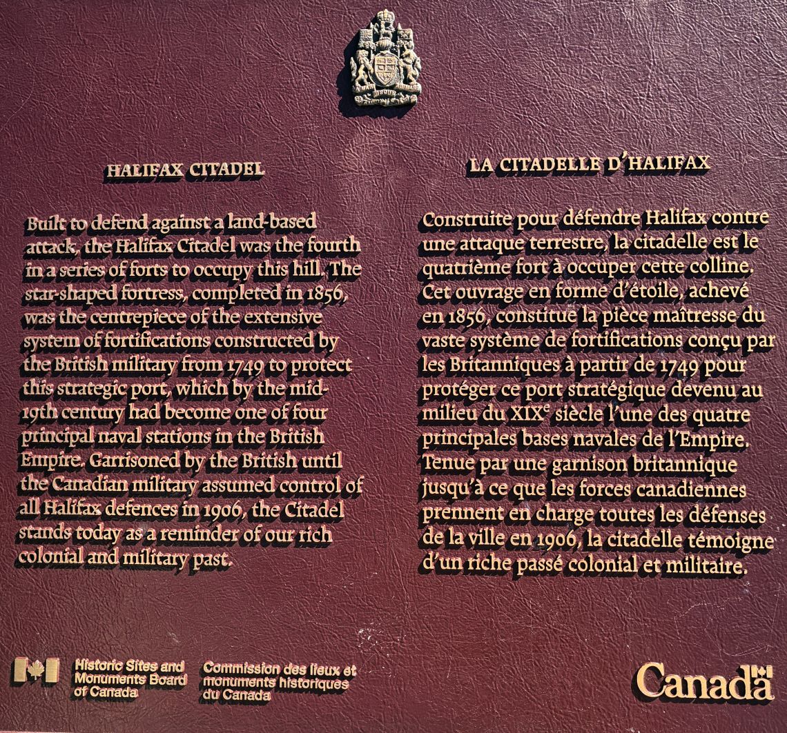
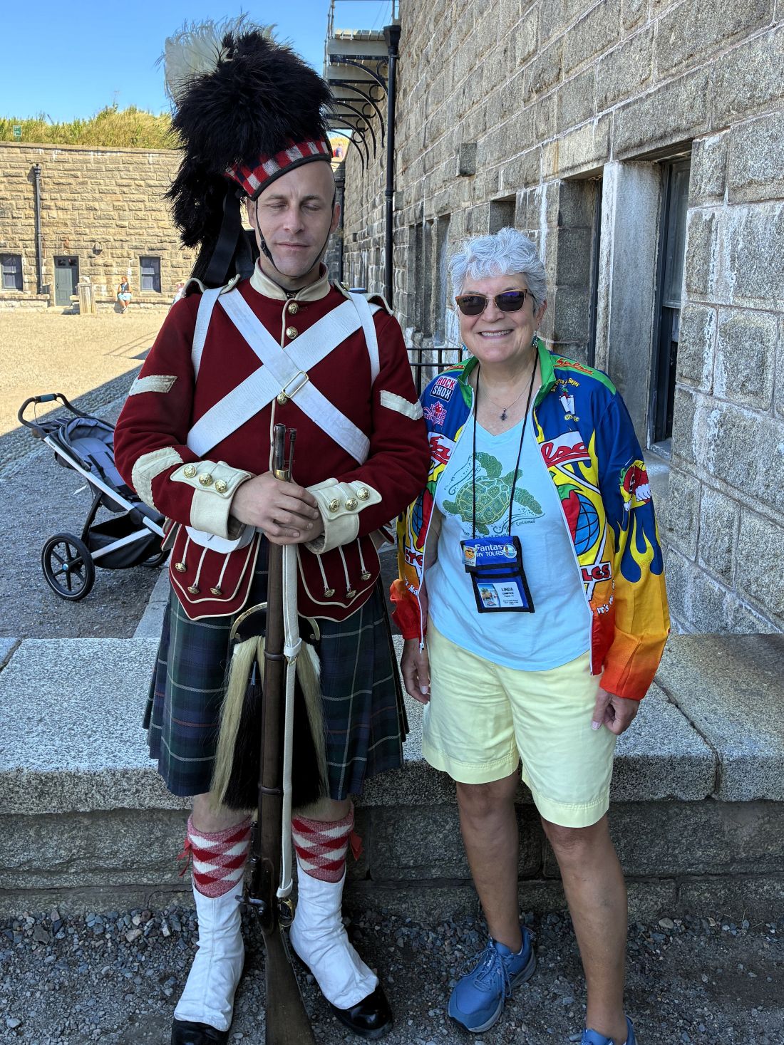
We had a guided tour through some of the buildings.
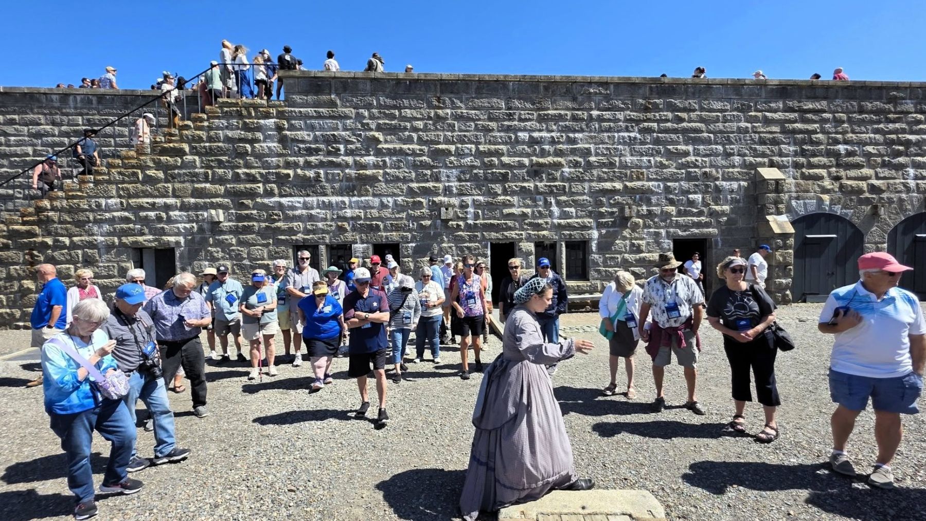
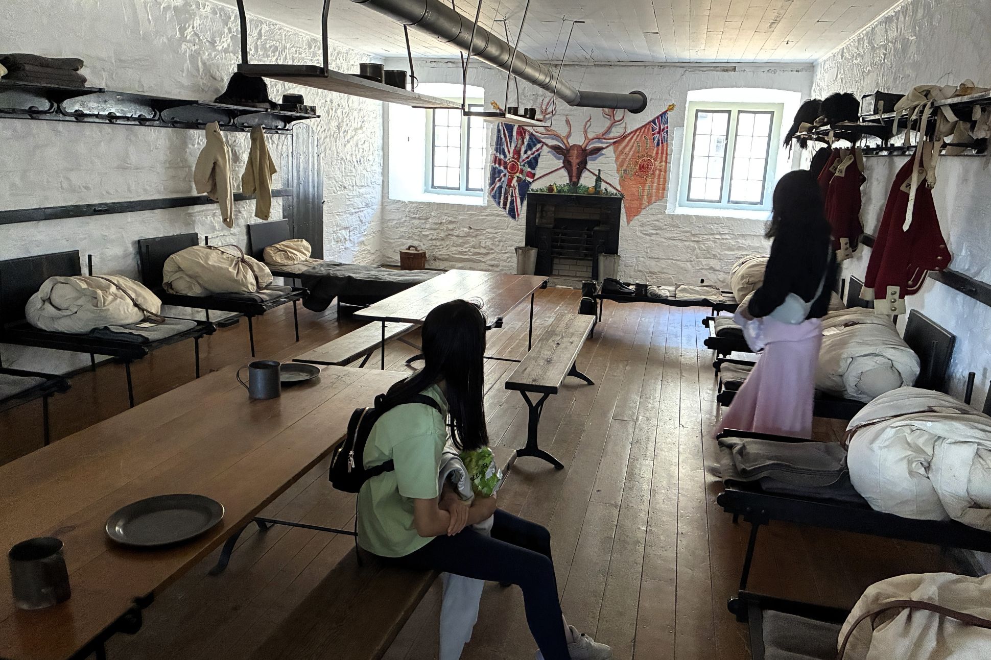
First stop was the soldier’s barracks.
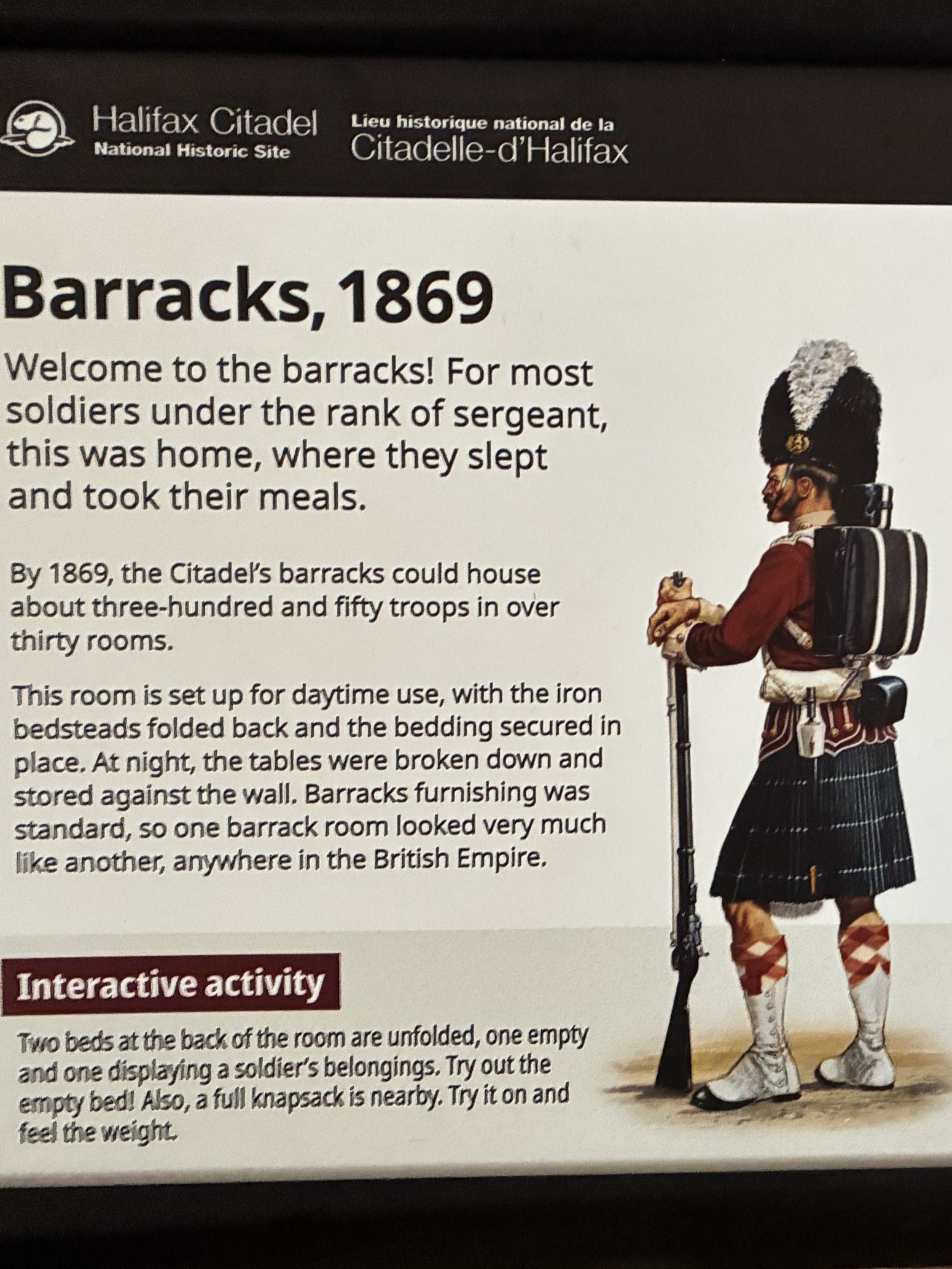
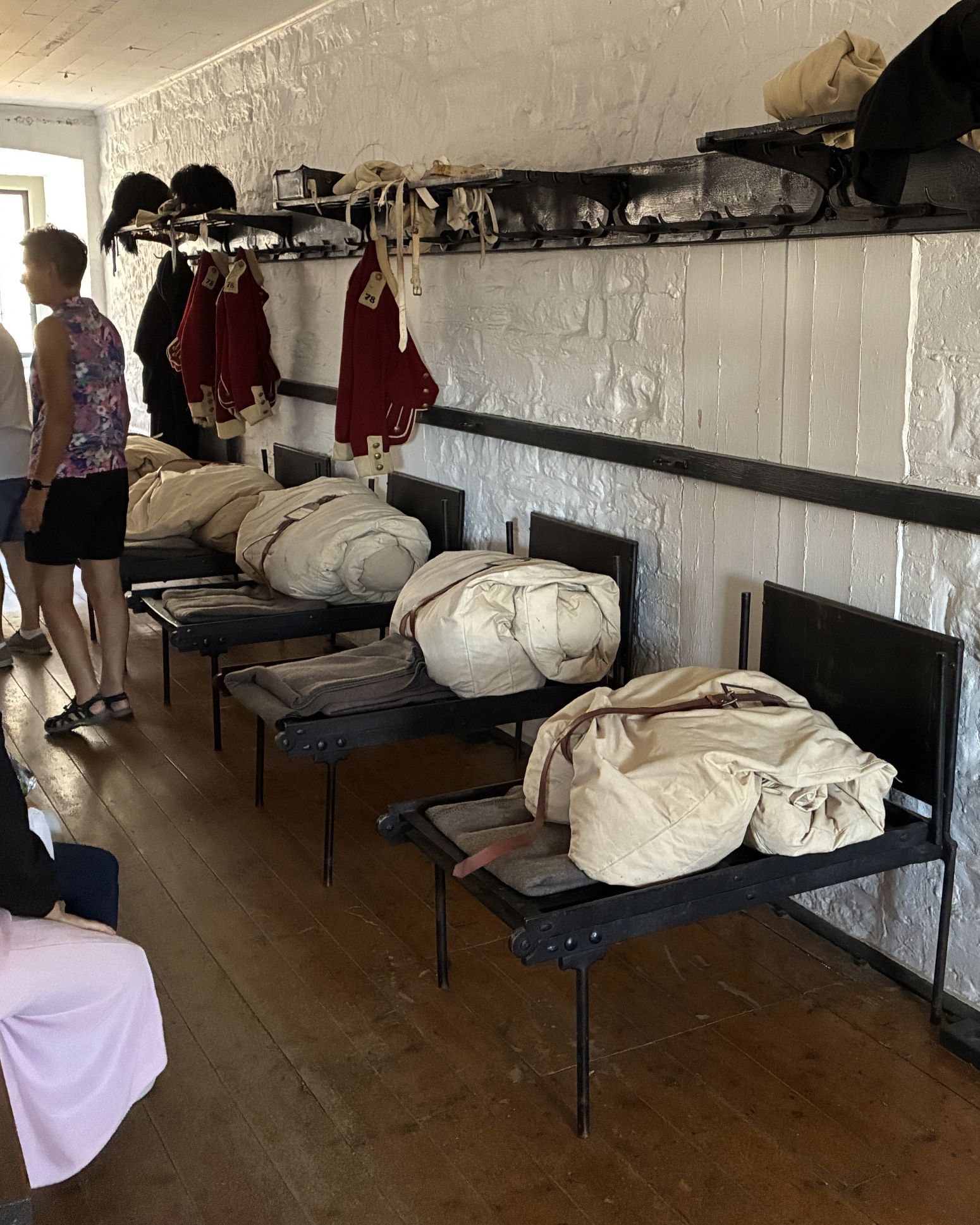
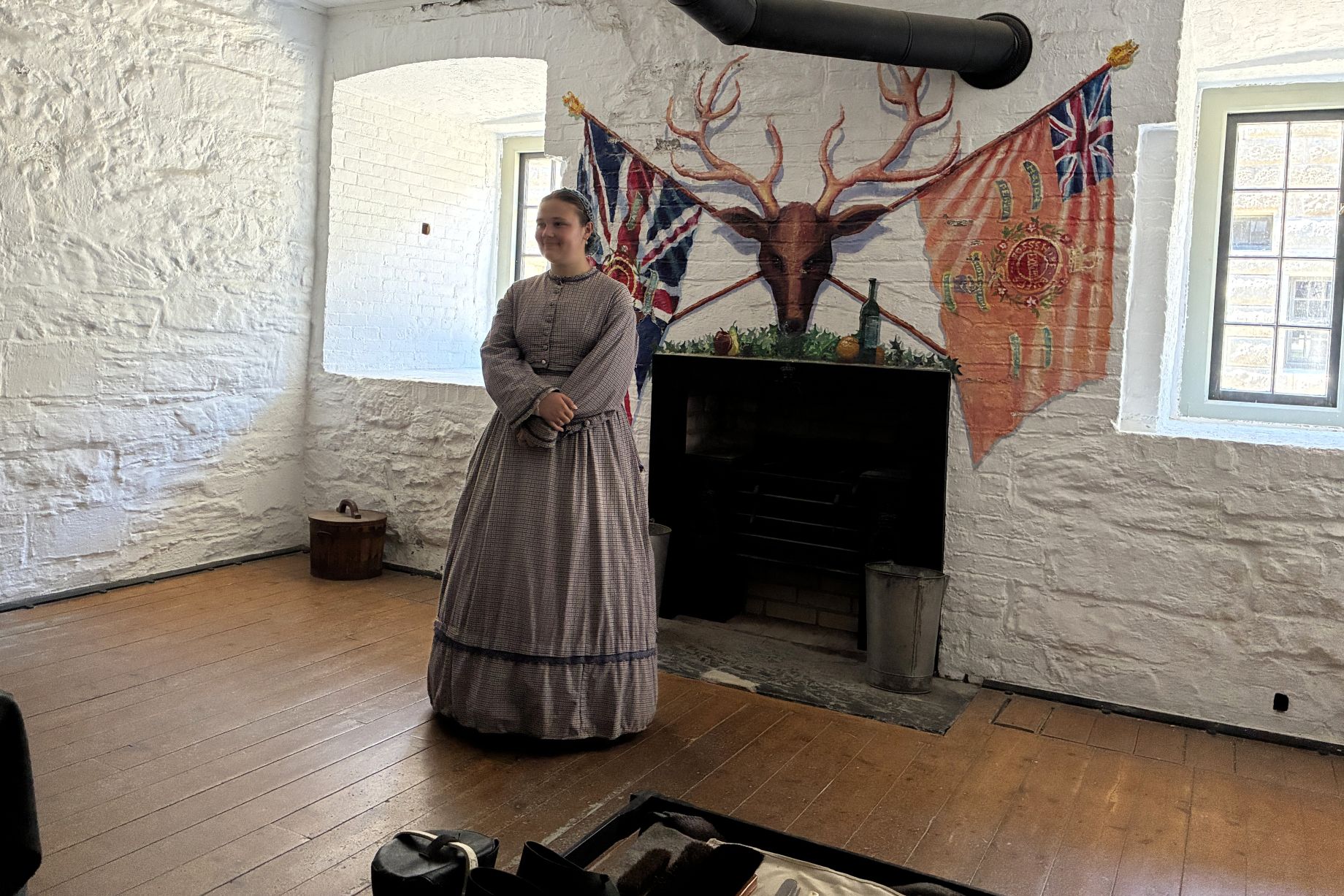
There wasn’t much room for more than eating and sleeping!
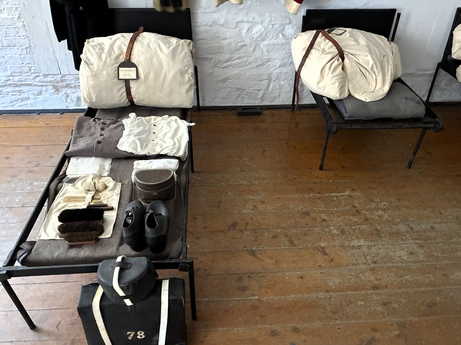
The beds were folded back during the day; this unfolded one shows a typical soldier’s belongings.
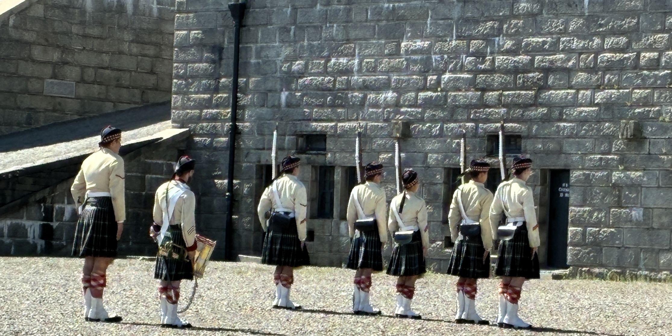
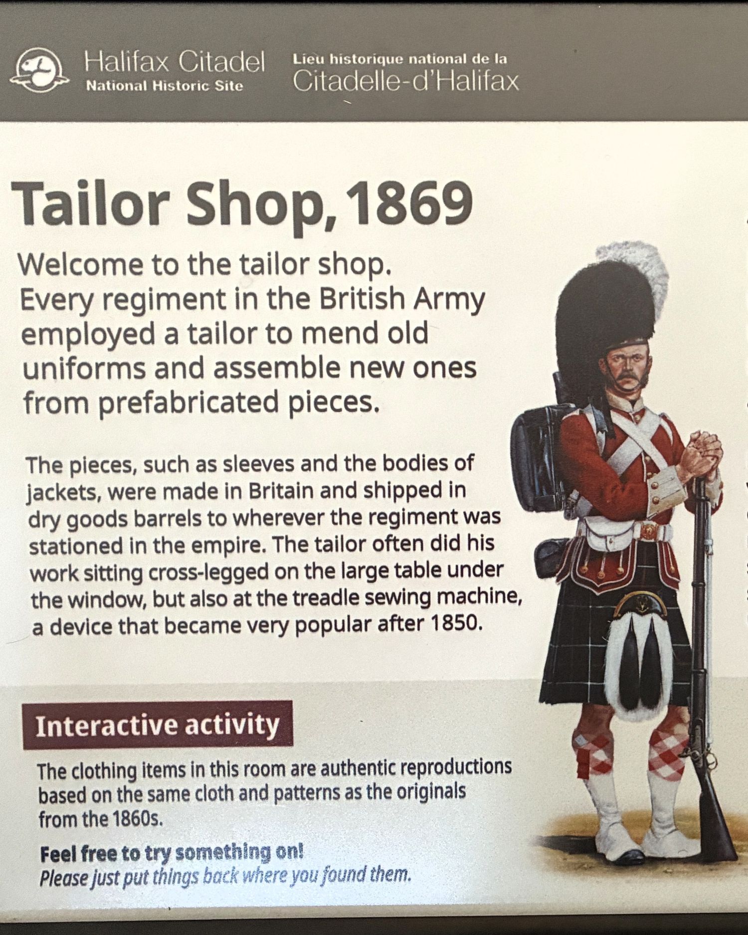
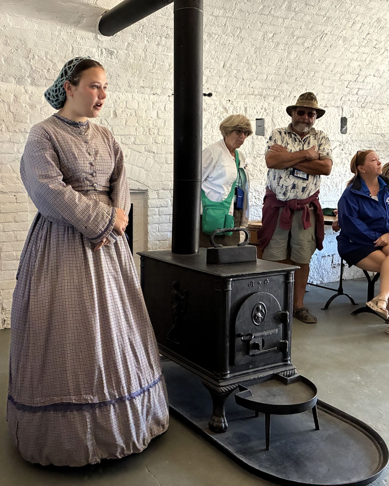
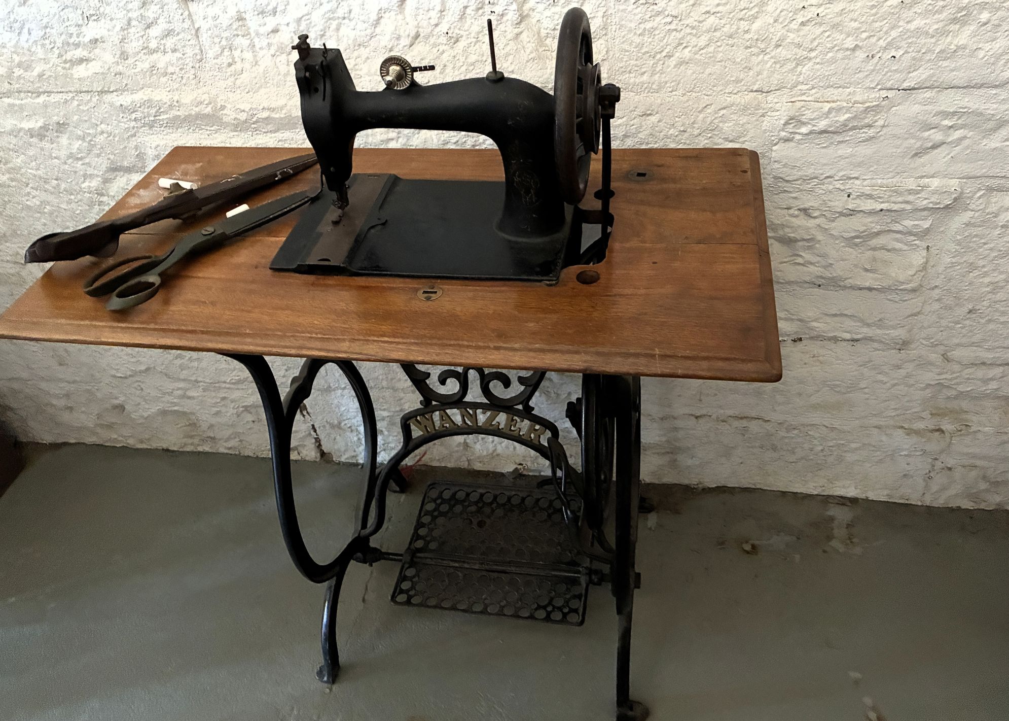
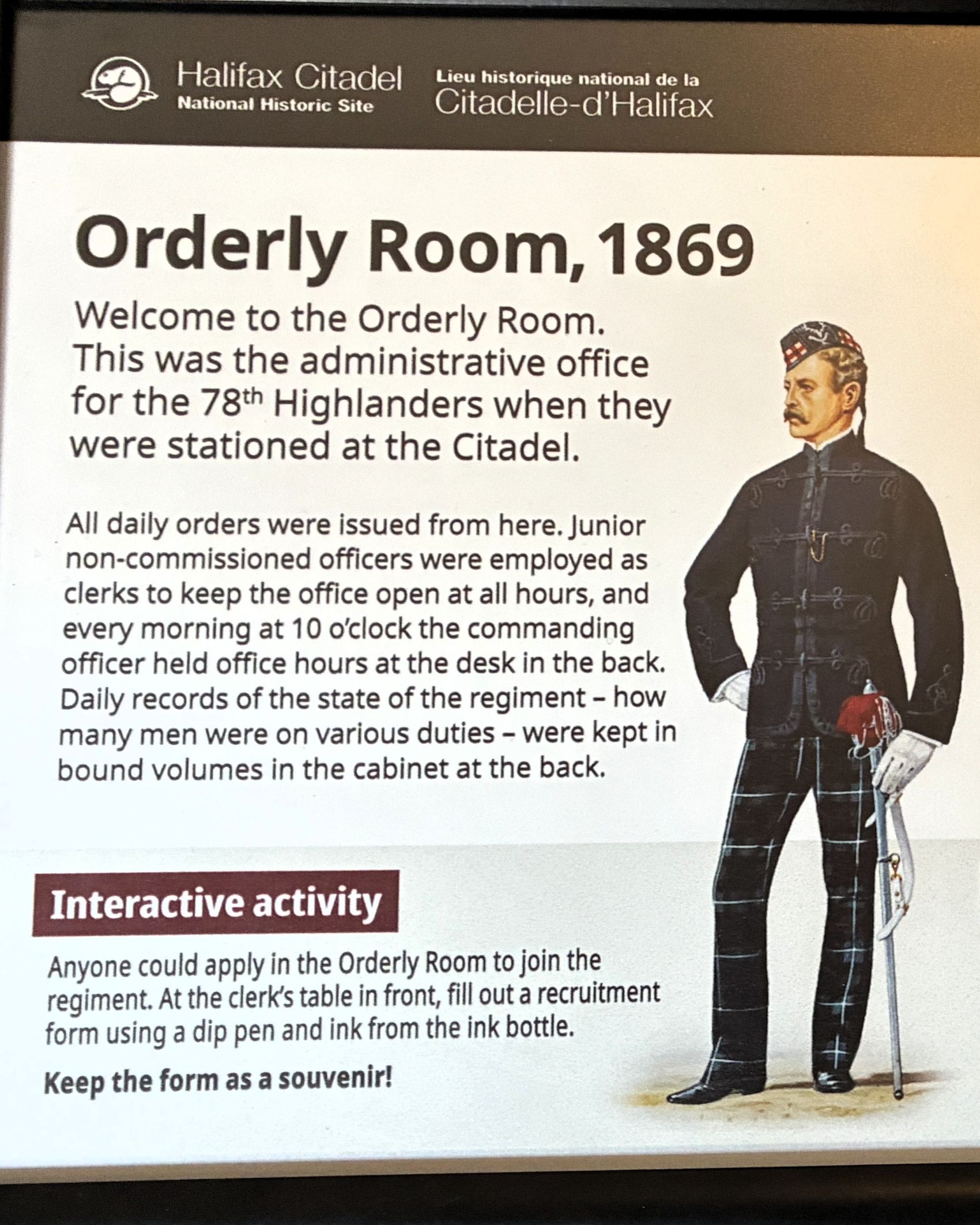
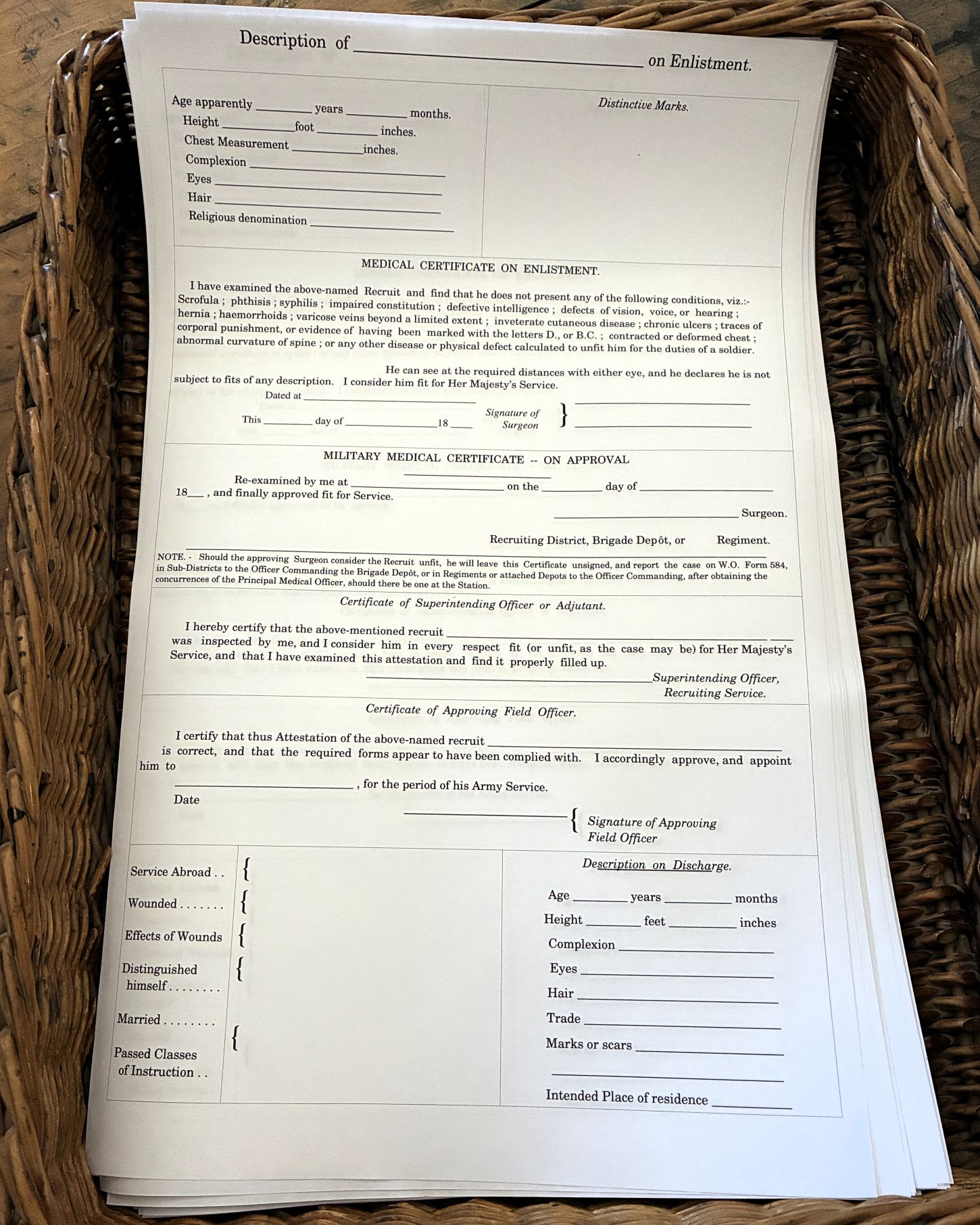
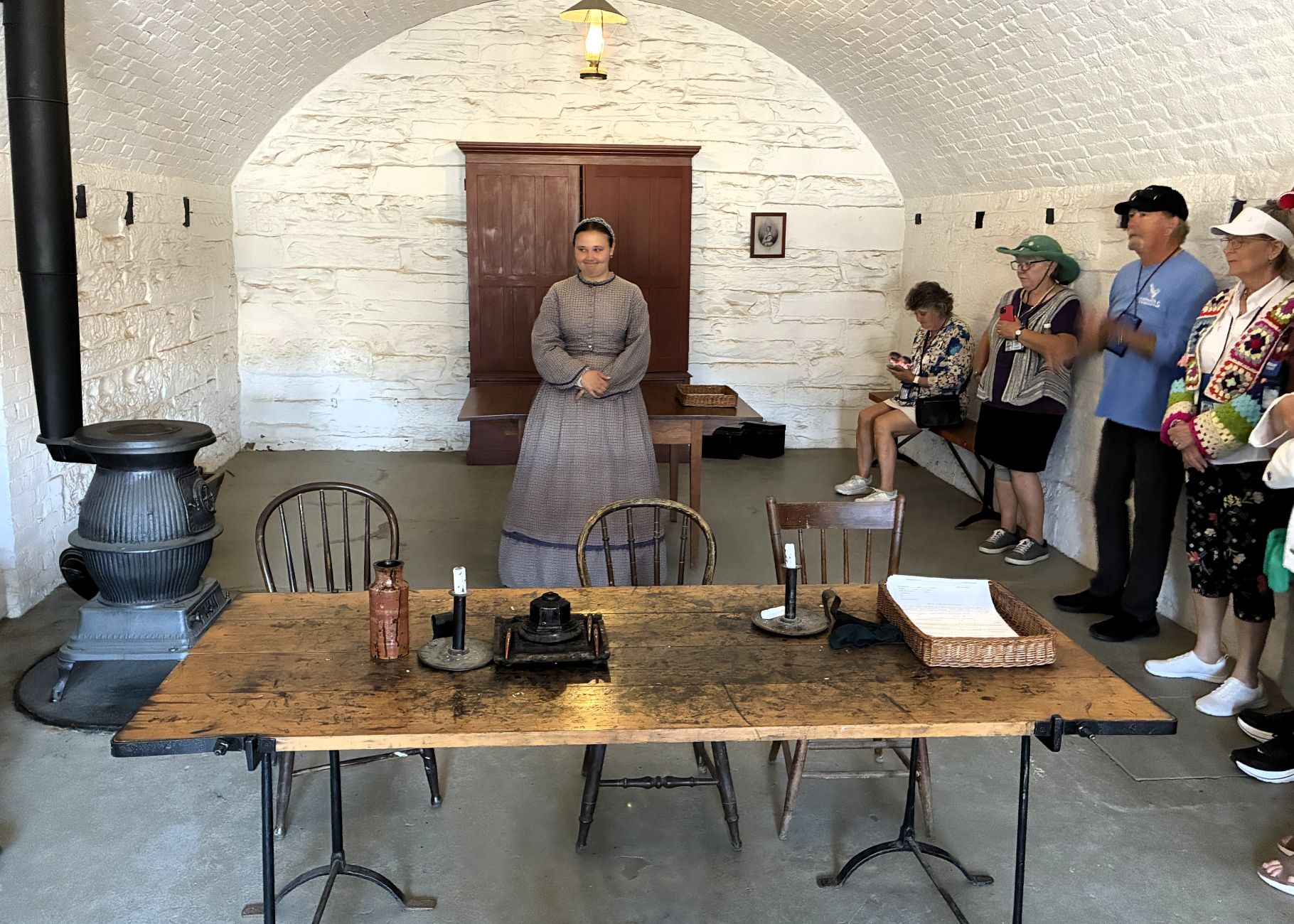
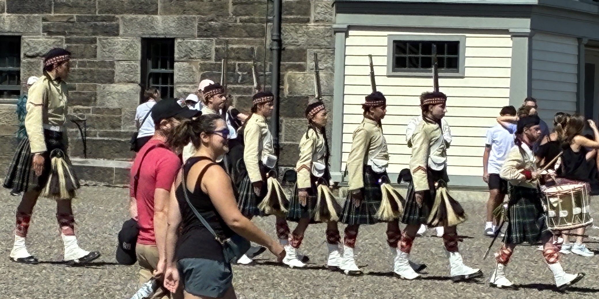
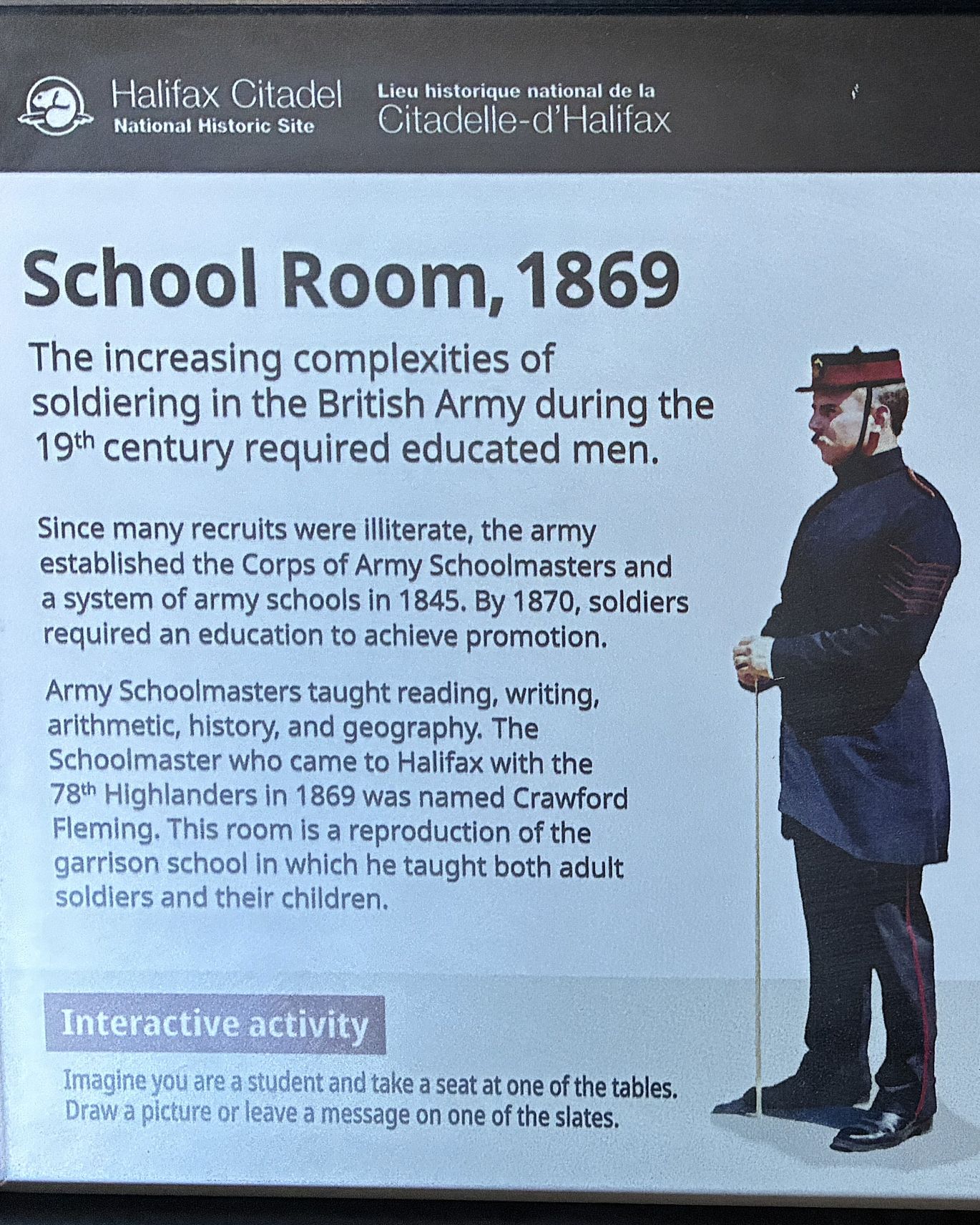
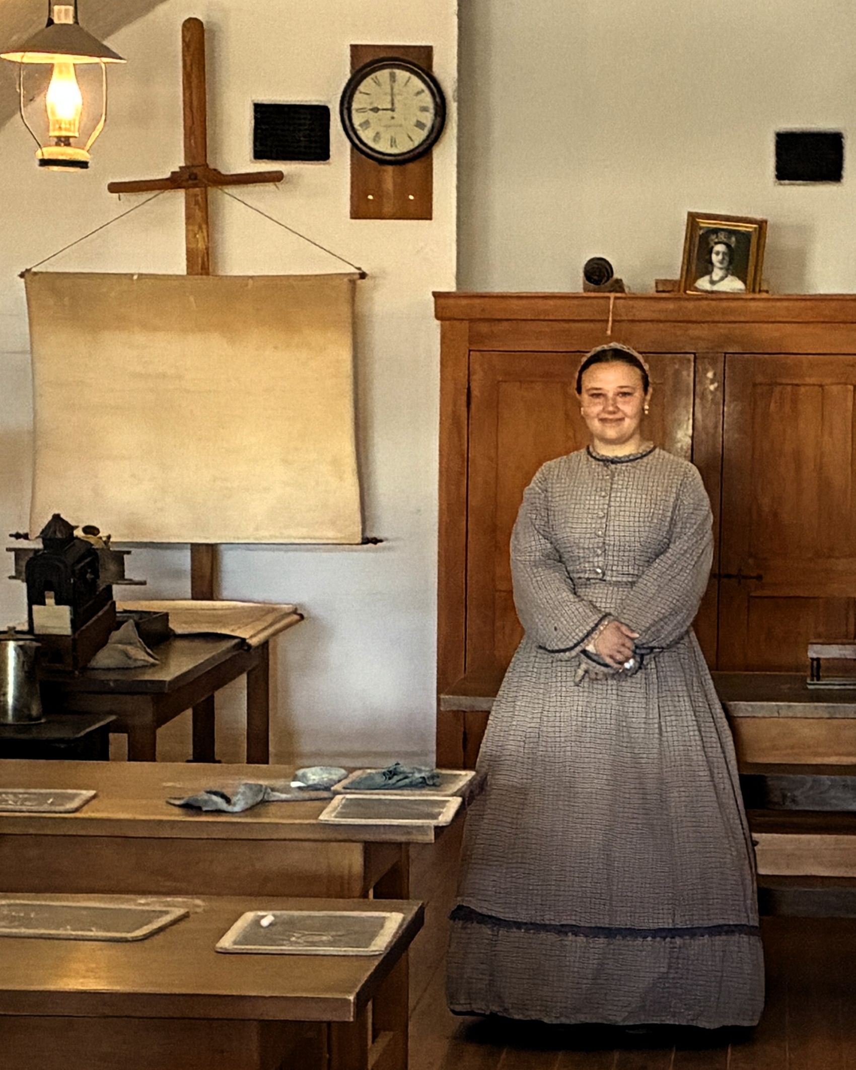
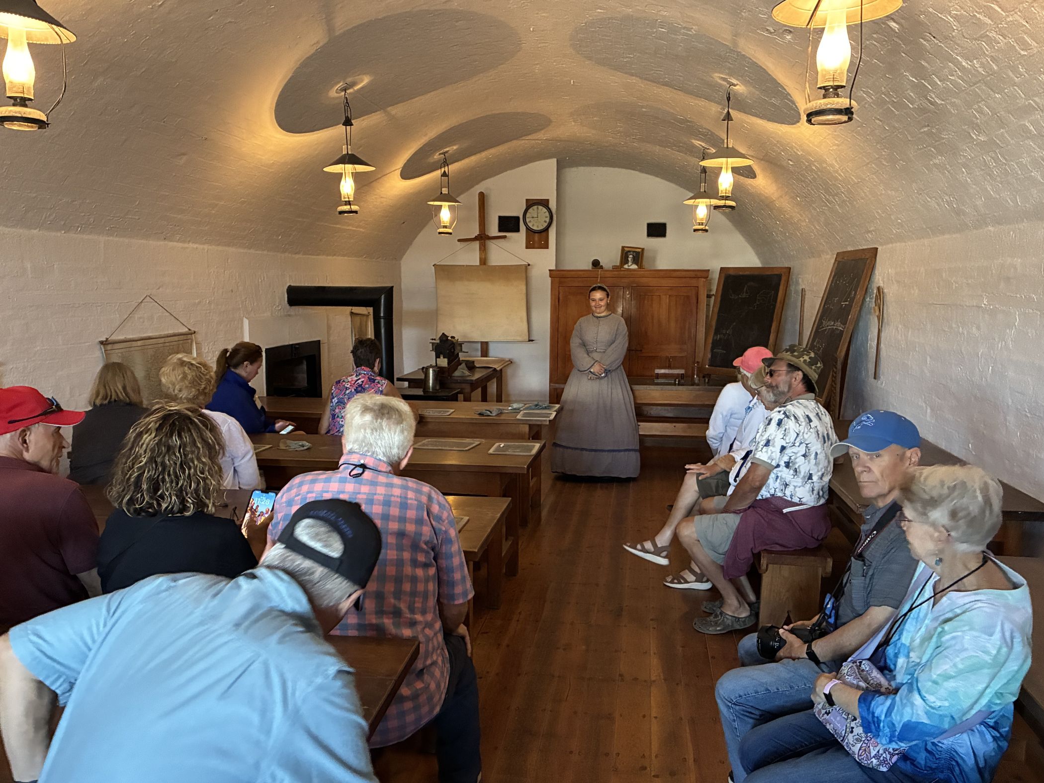
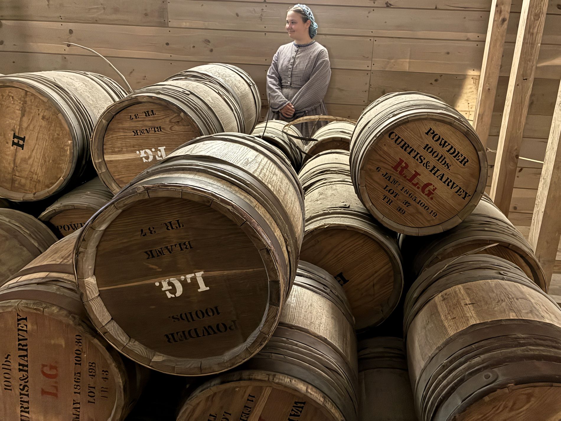
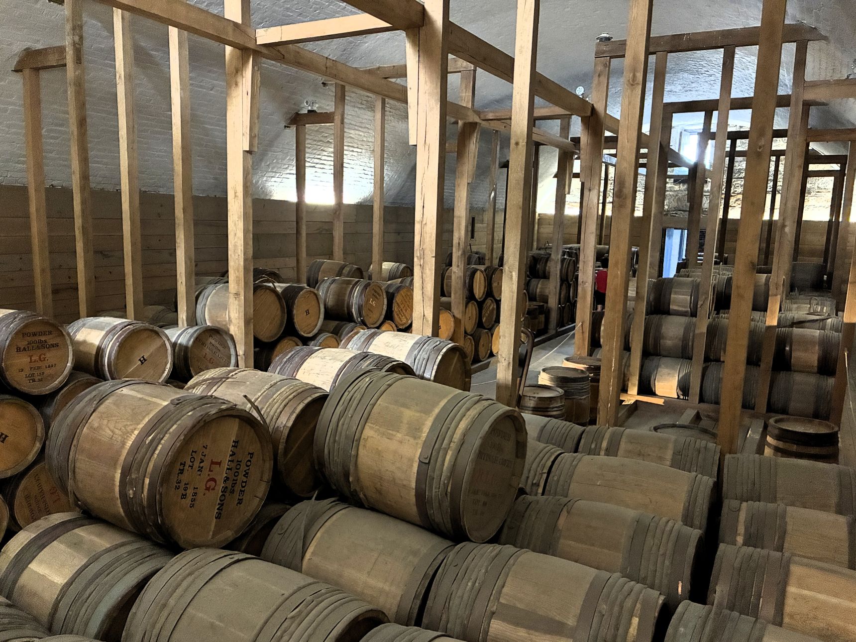
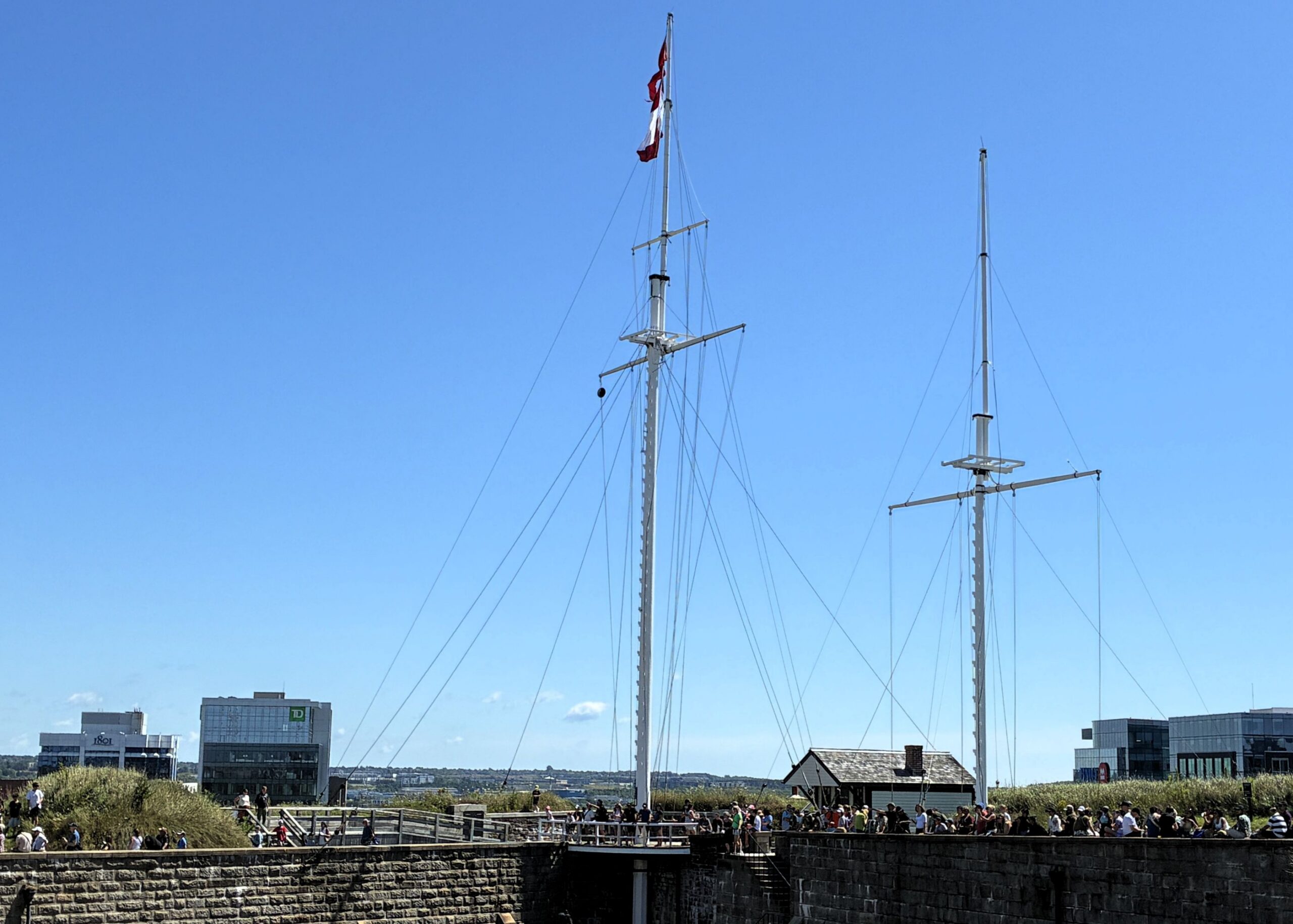
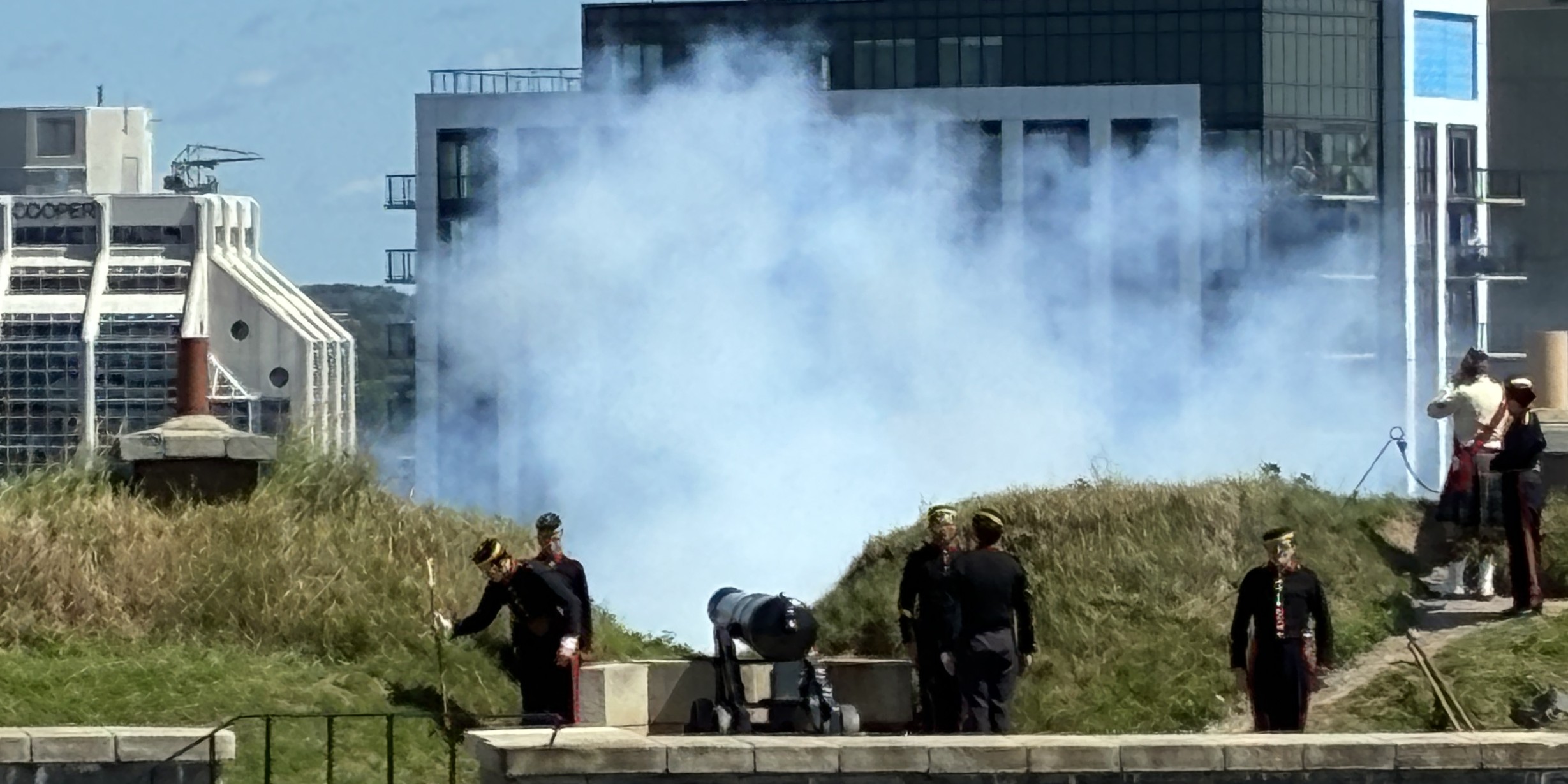
Halifax Citadel’s “canon blast” is the daily ceremonial firing of a 12‑pound reproduction muzzle‑loading gun at exactly noon, a tradition dating back to 1856 and still performed every day except Christmas Day.
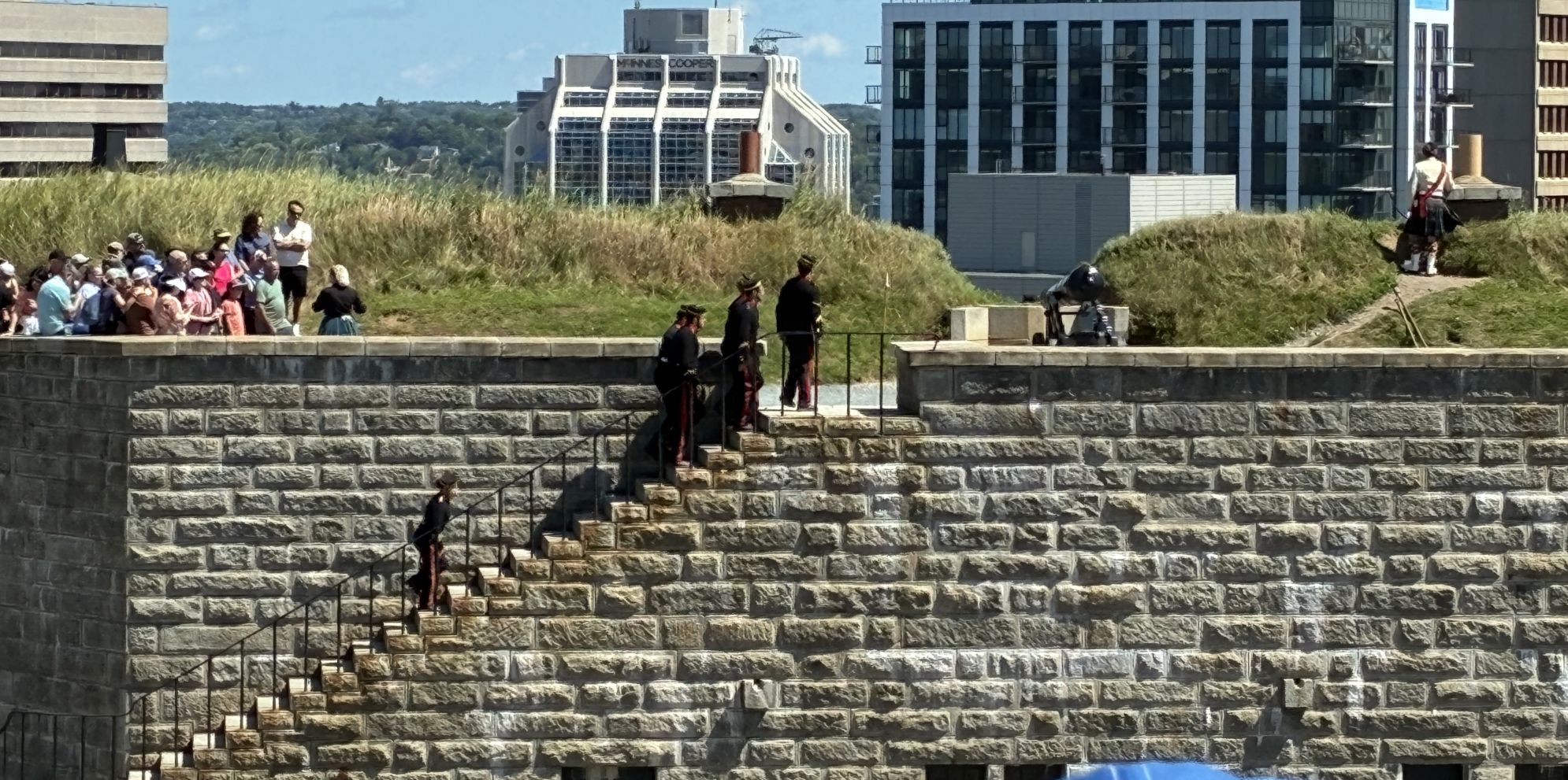
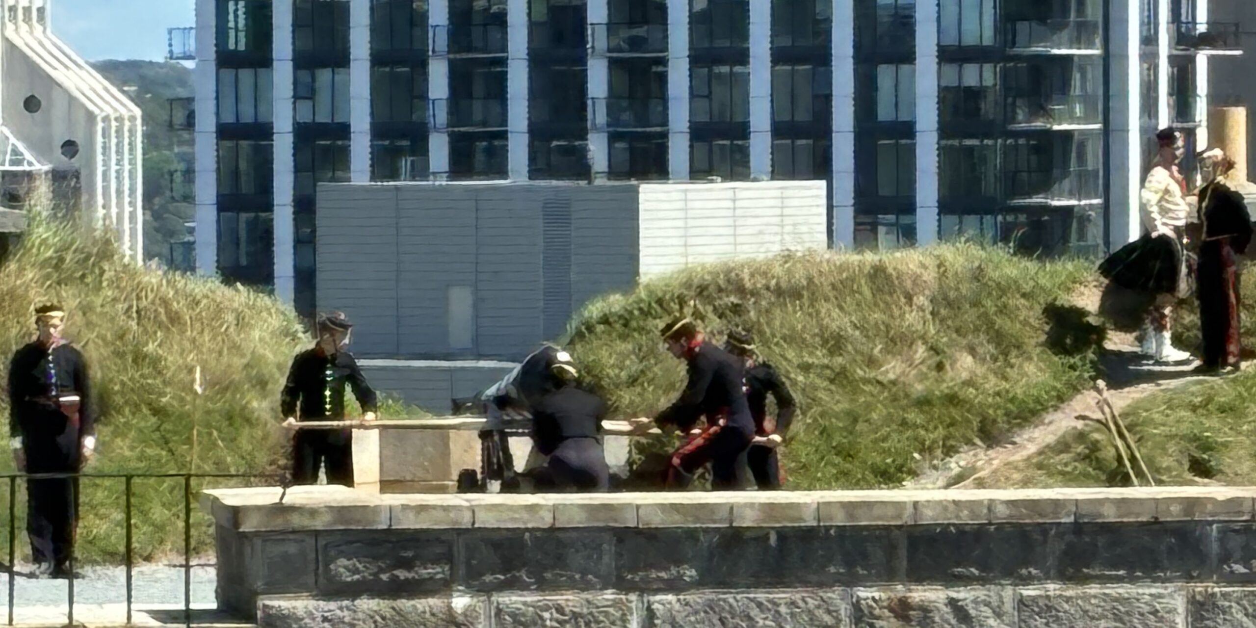
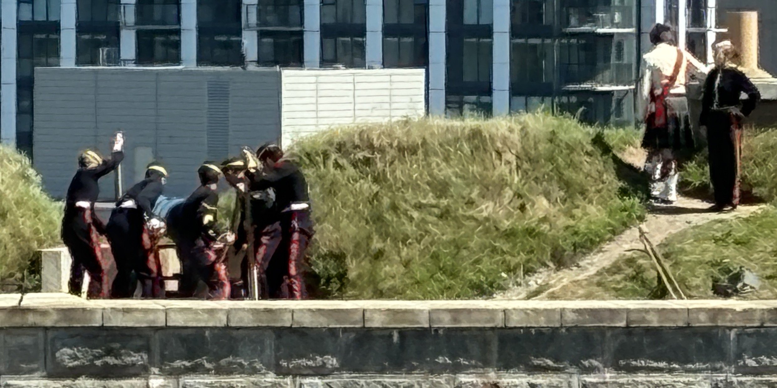
BOOM!
As we headed back to the bus, some signs told some history of Citadel Hill.
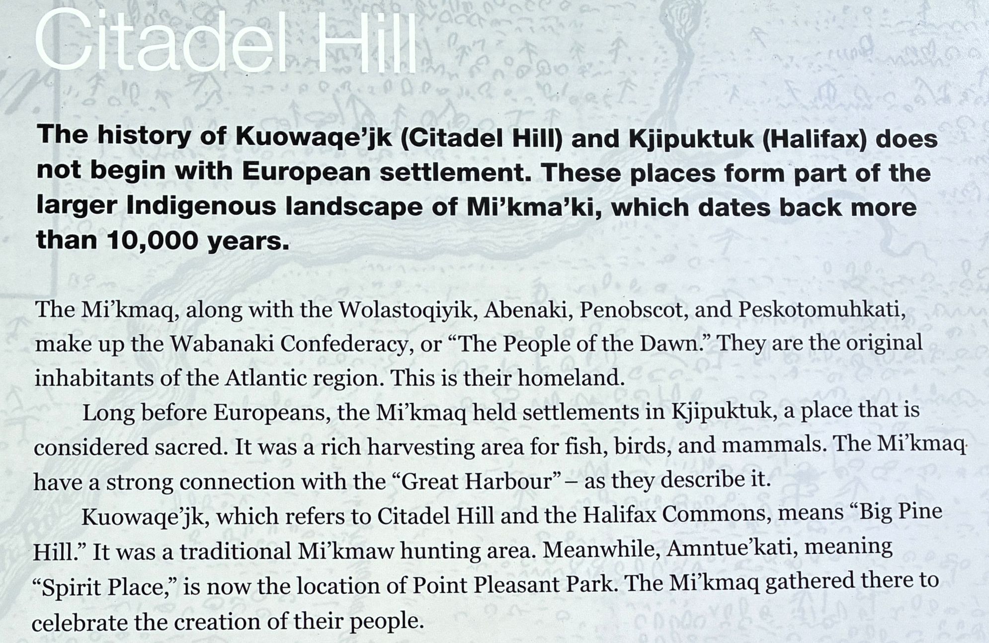
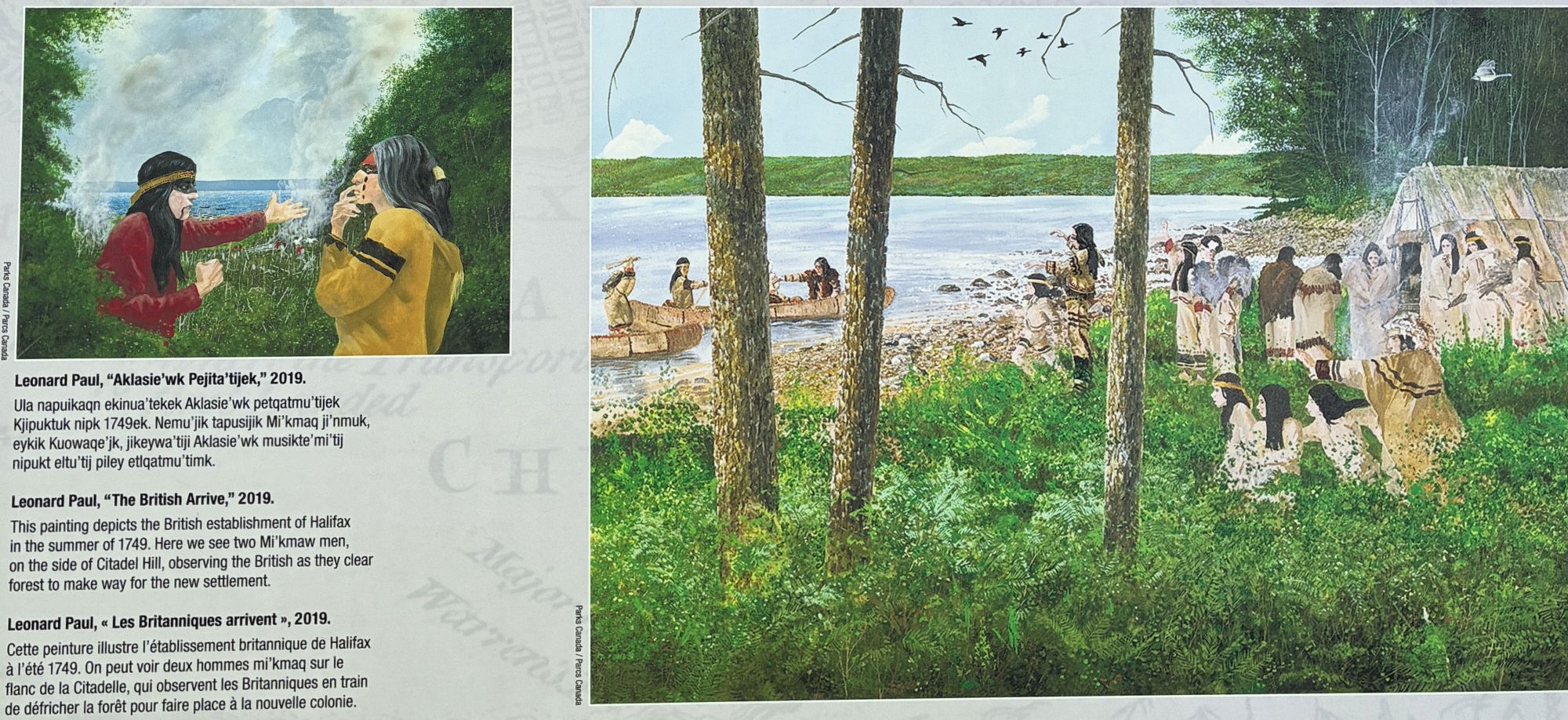
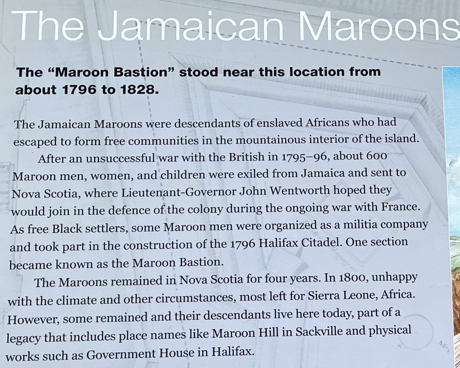
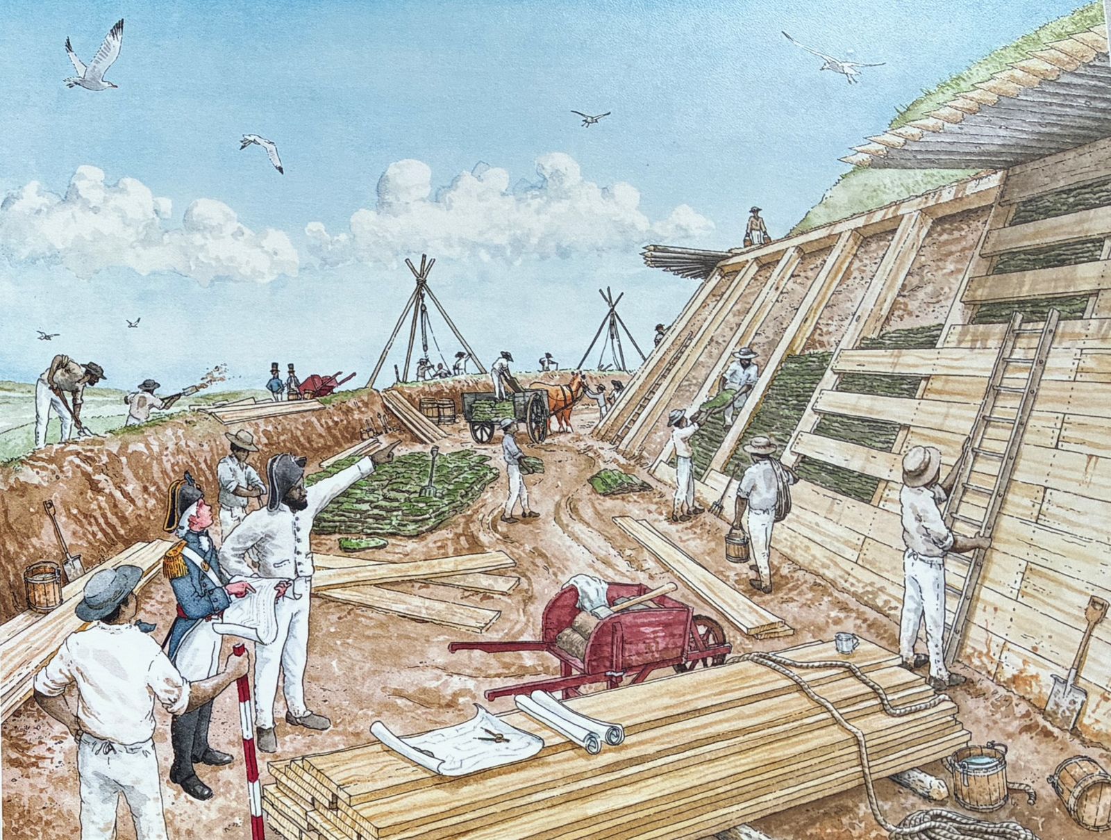
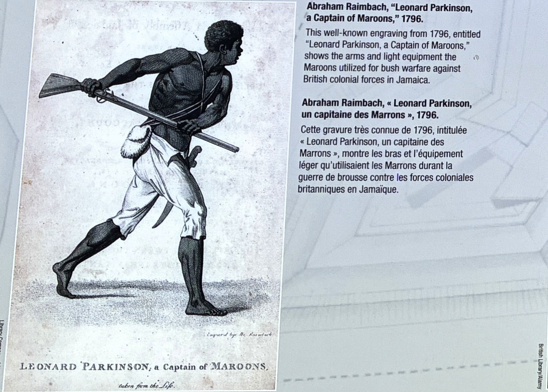
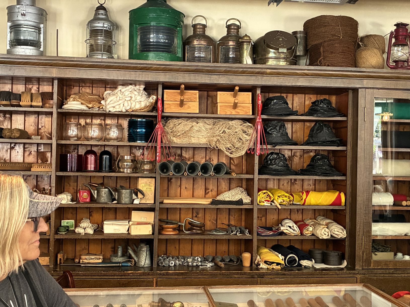
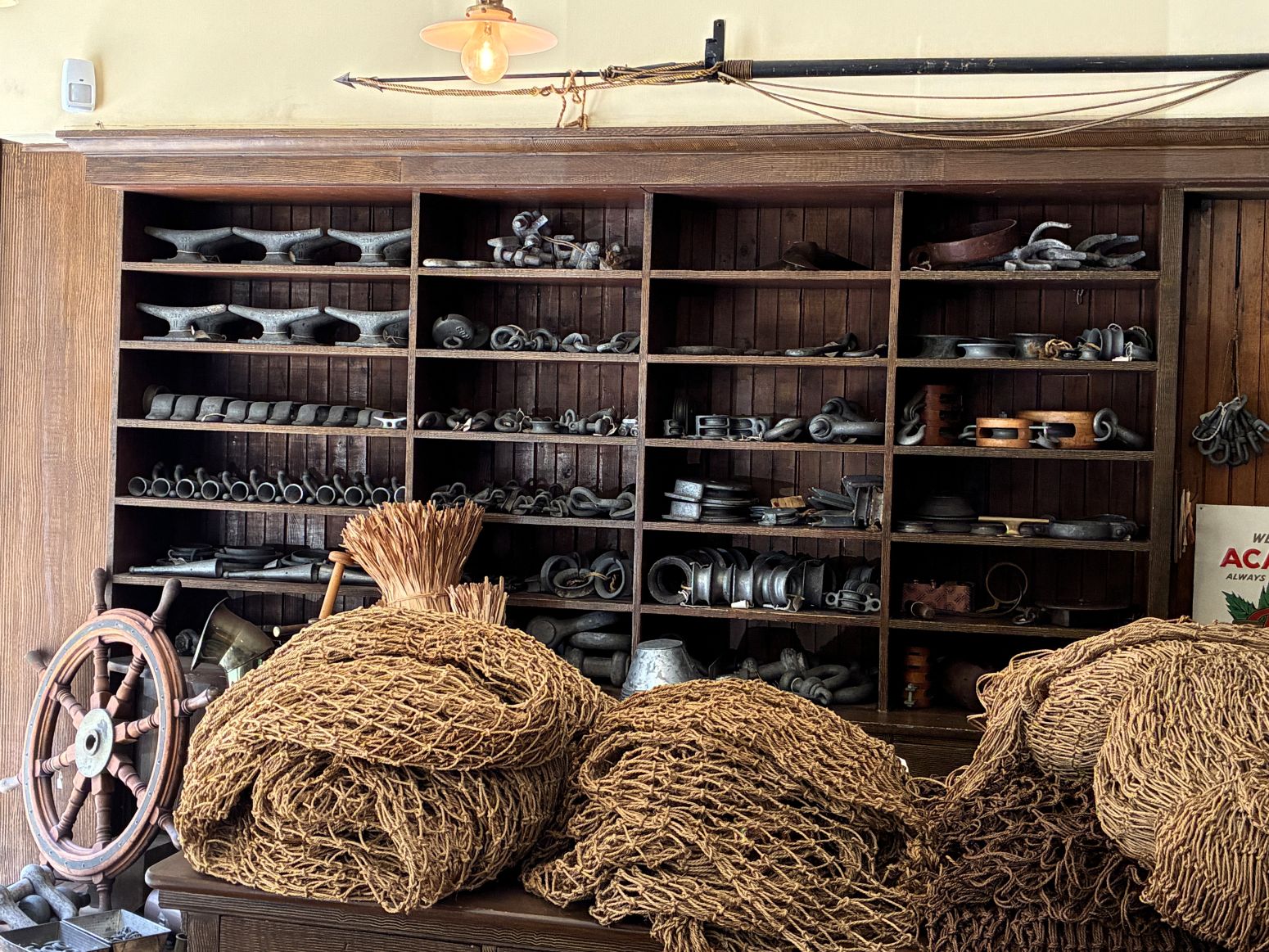
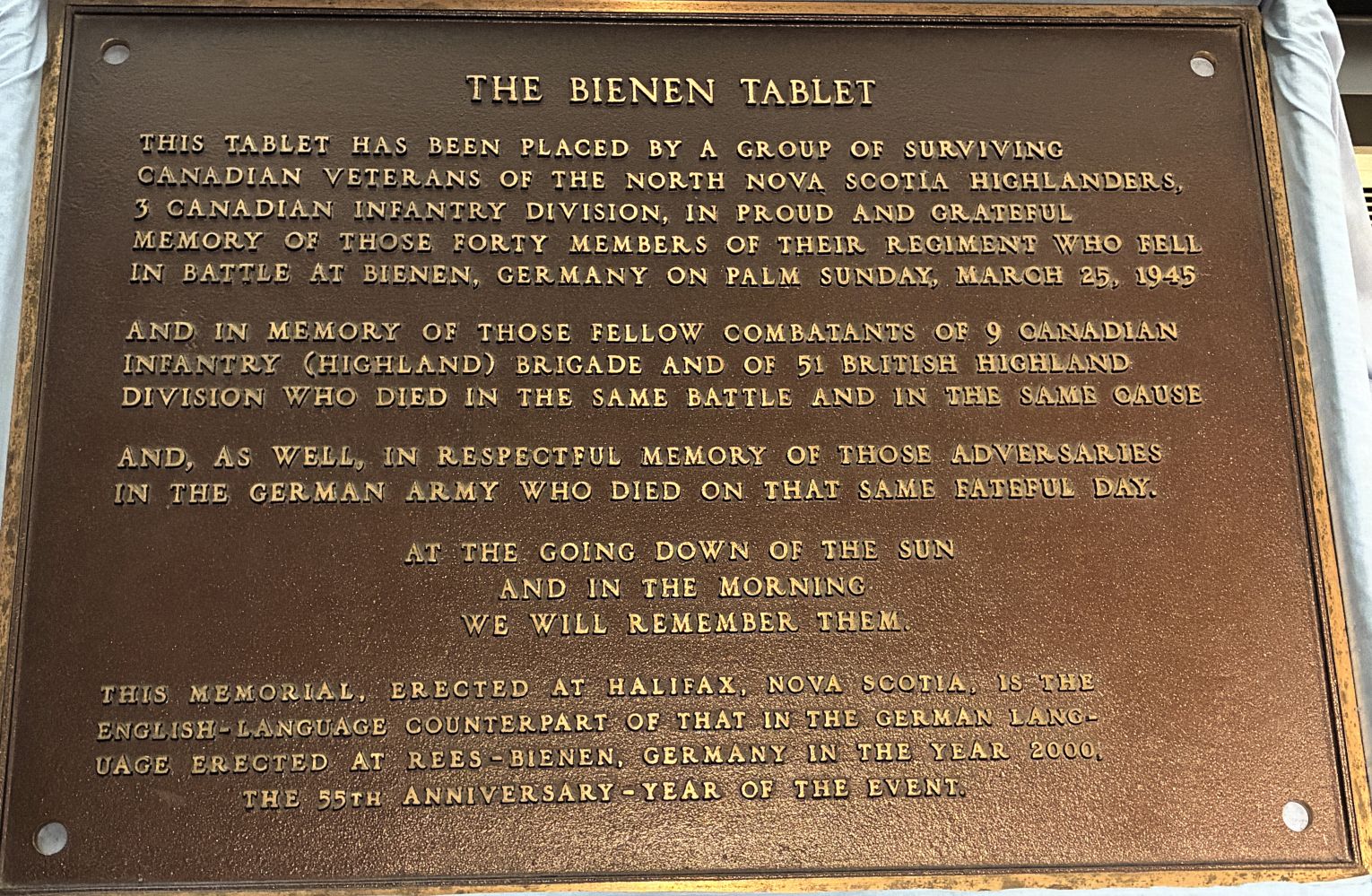
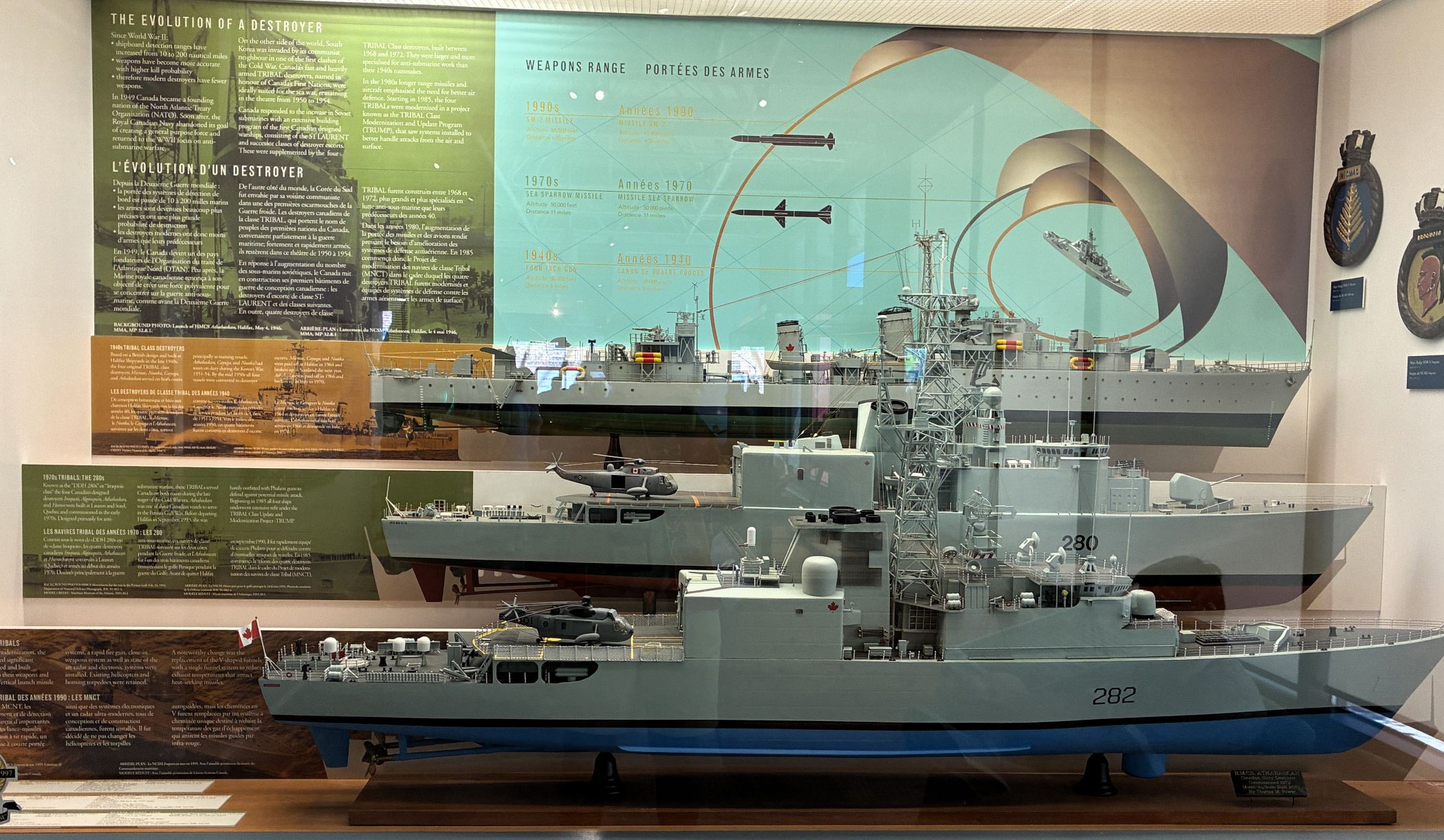
We boarded the bus again to go downtown Halifax for an excellent lunch at the Prince George Hotel. No one shared photos… After lunch, we visited the Maritime Museum of the Atlantic. We were glad this was on the agenda because we didn’t see the museum when we have been to Halifax in the past!
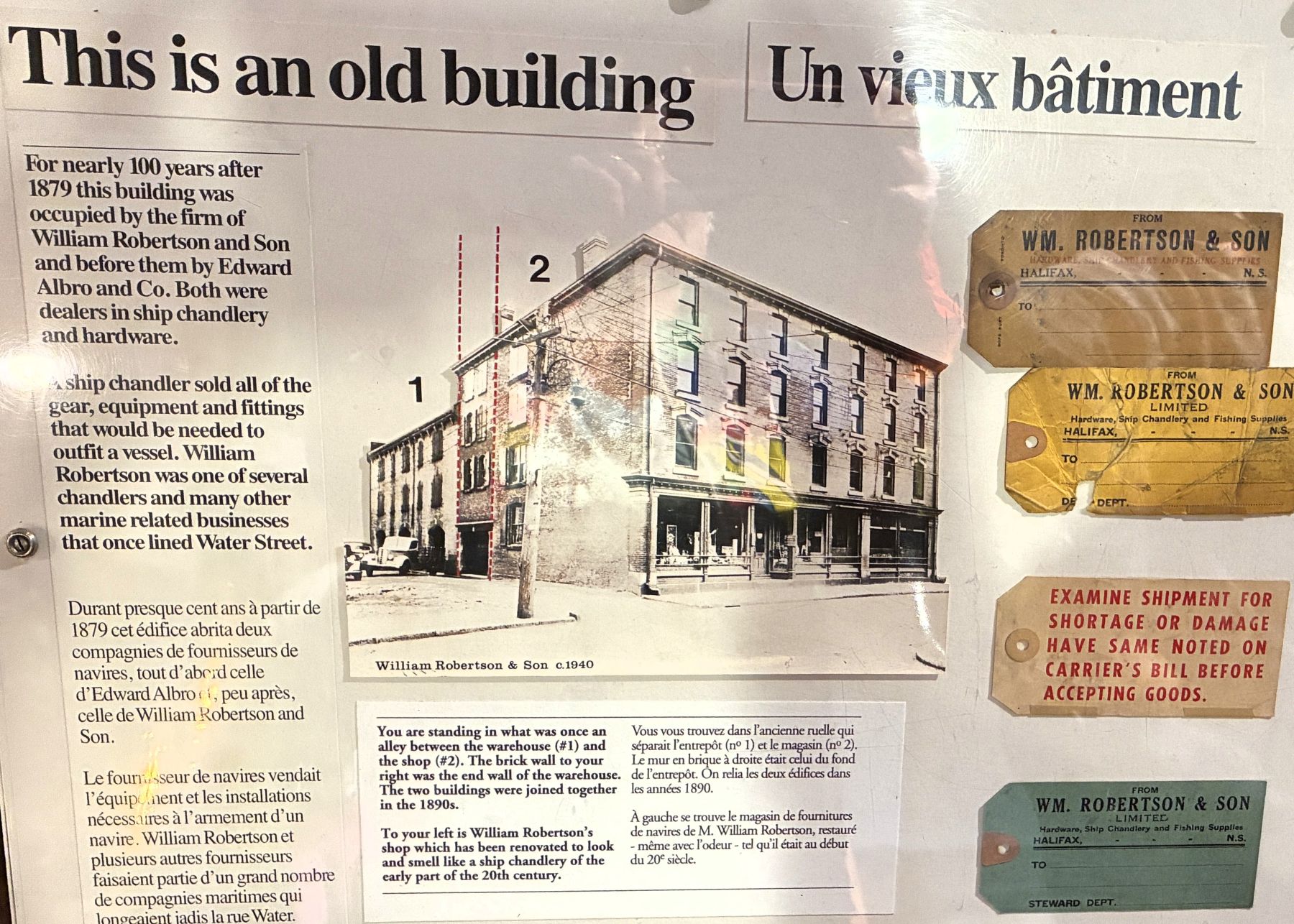
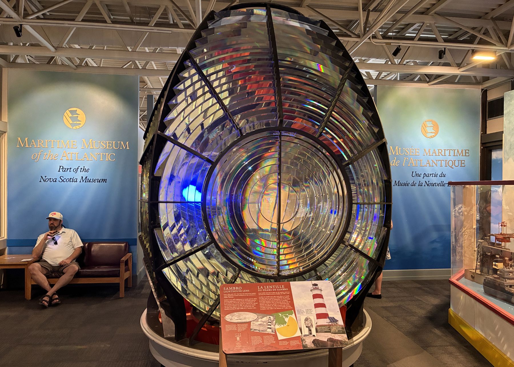
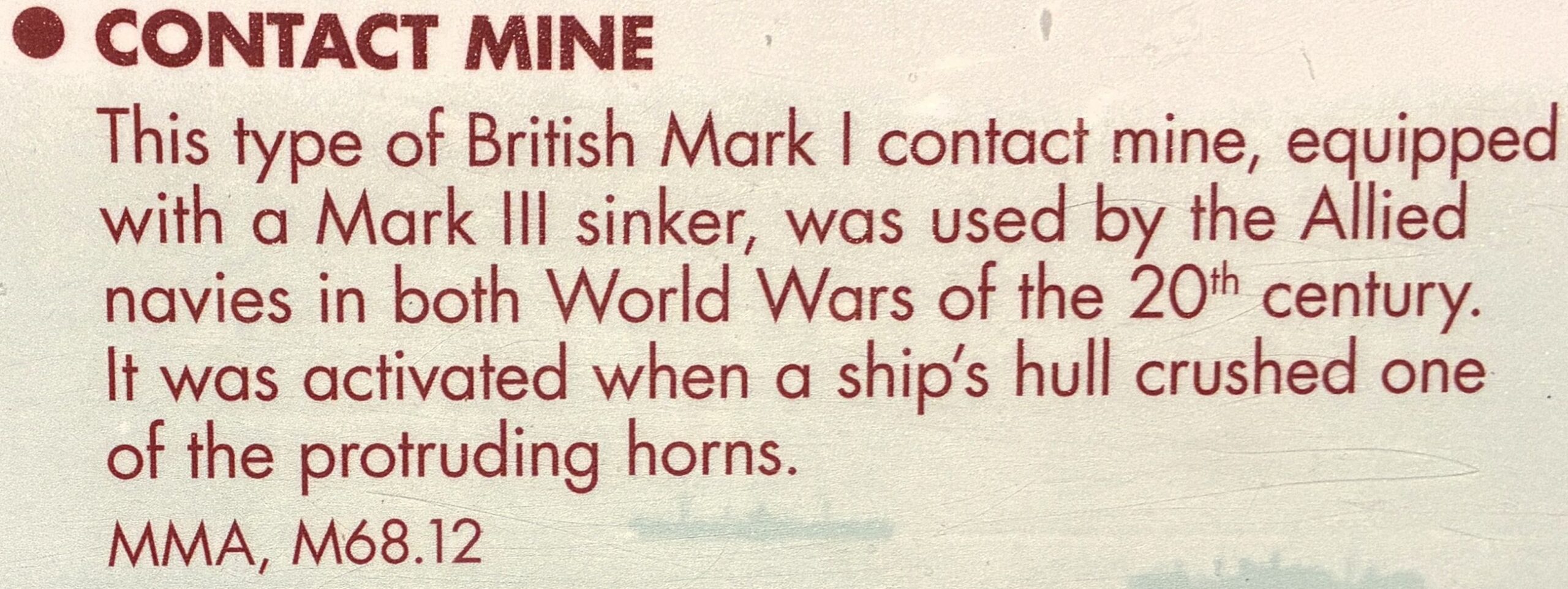
Sambro Lighthouse Lens – From 1906 until 1967 this lens was used in the Sambro Island lighthouse located southwest of the entrance to Halifax Harbor.
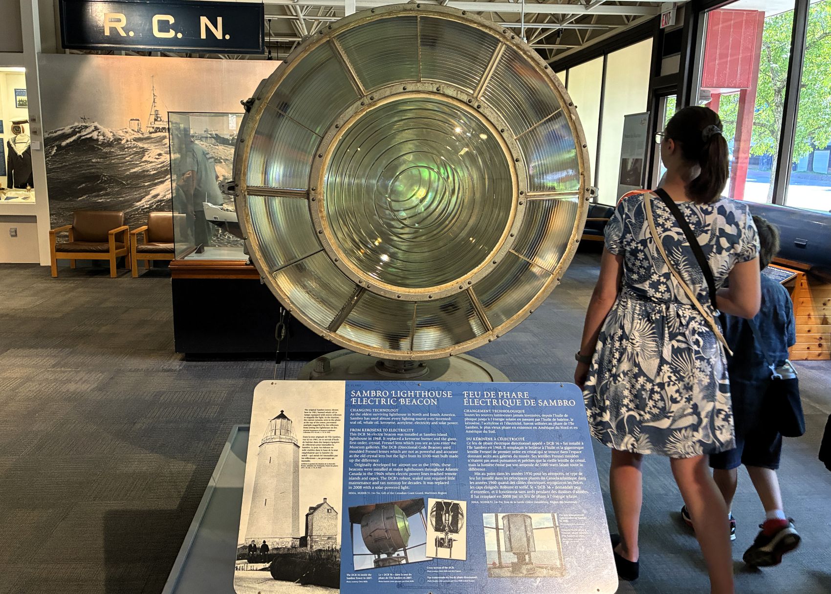
Sambro Lighthouse Electric Beacon 1968-2008
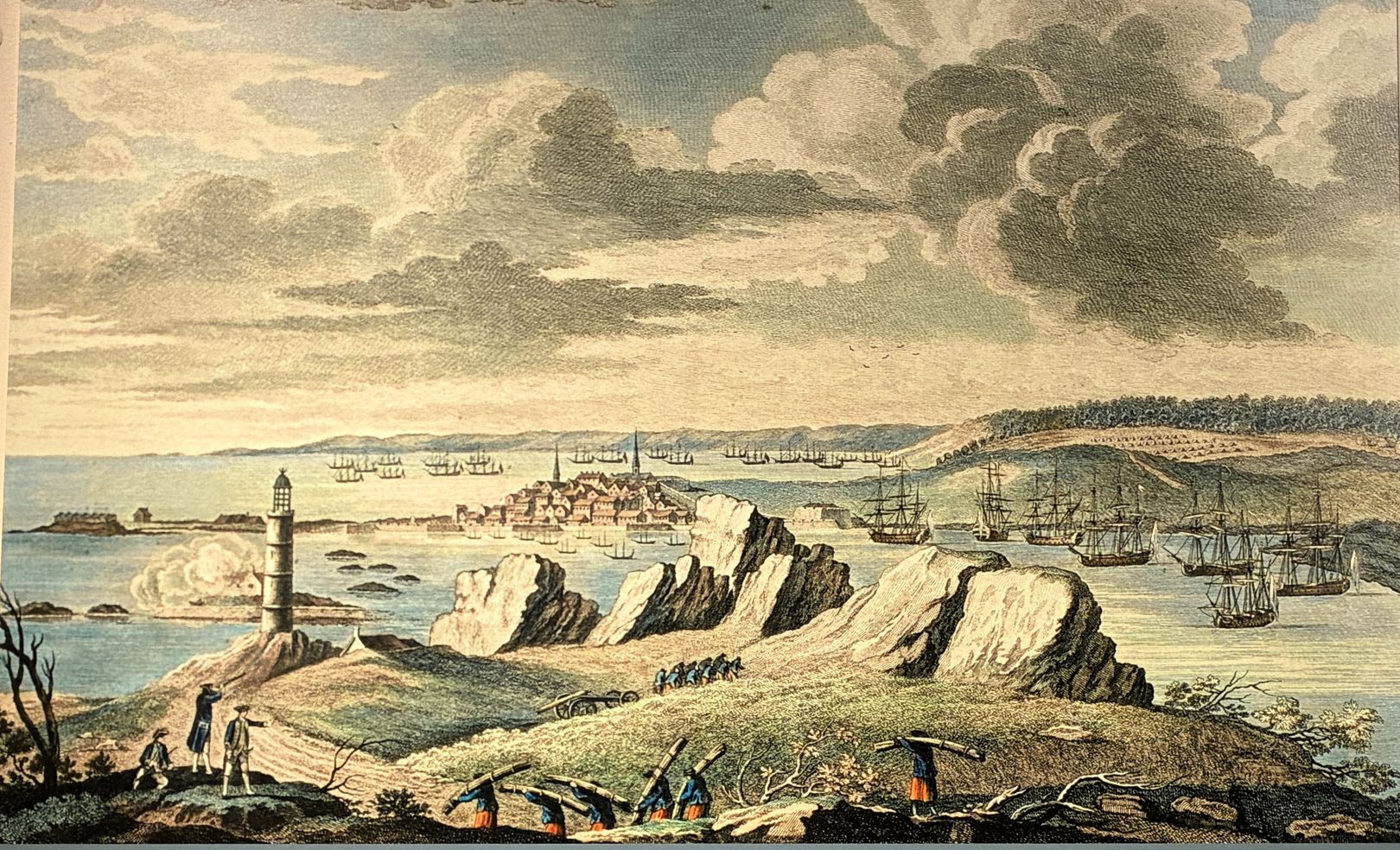
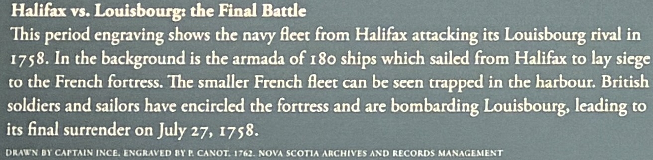
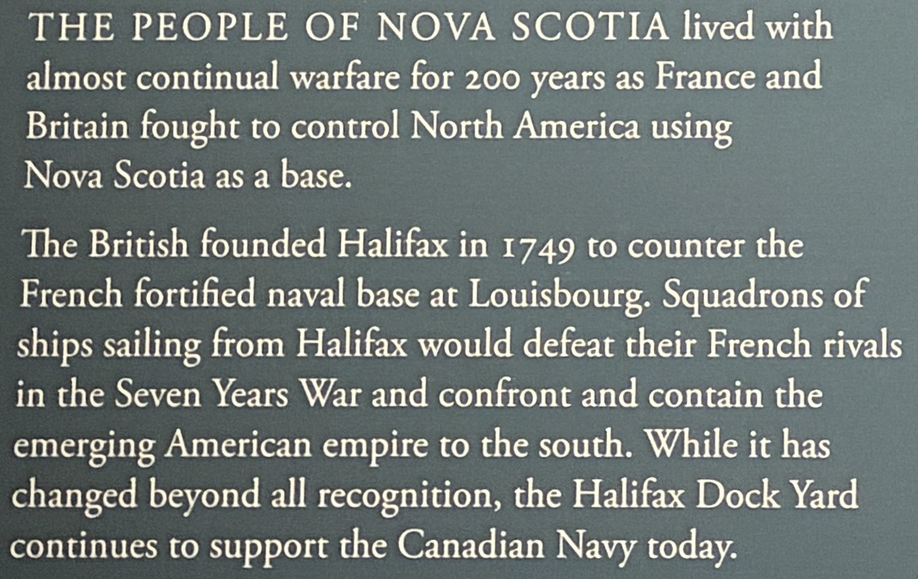
The founding of Halifax.
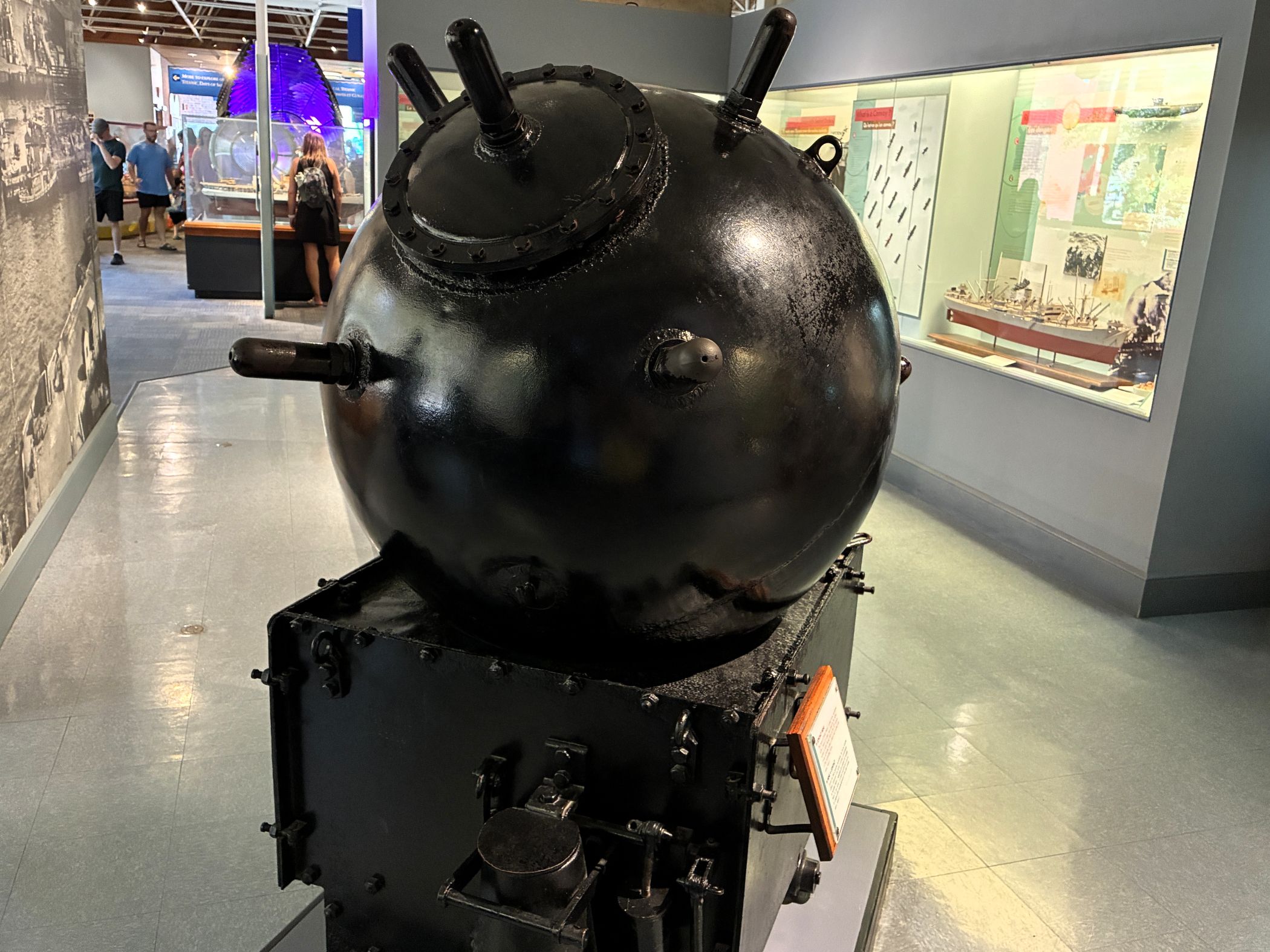
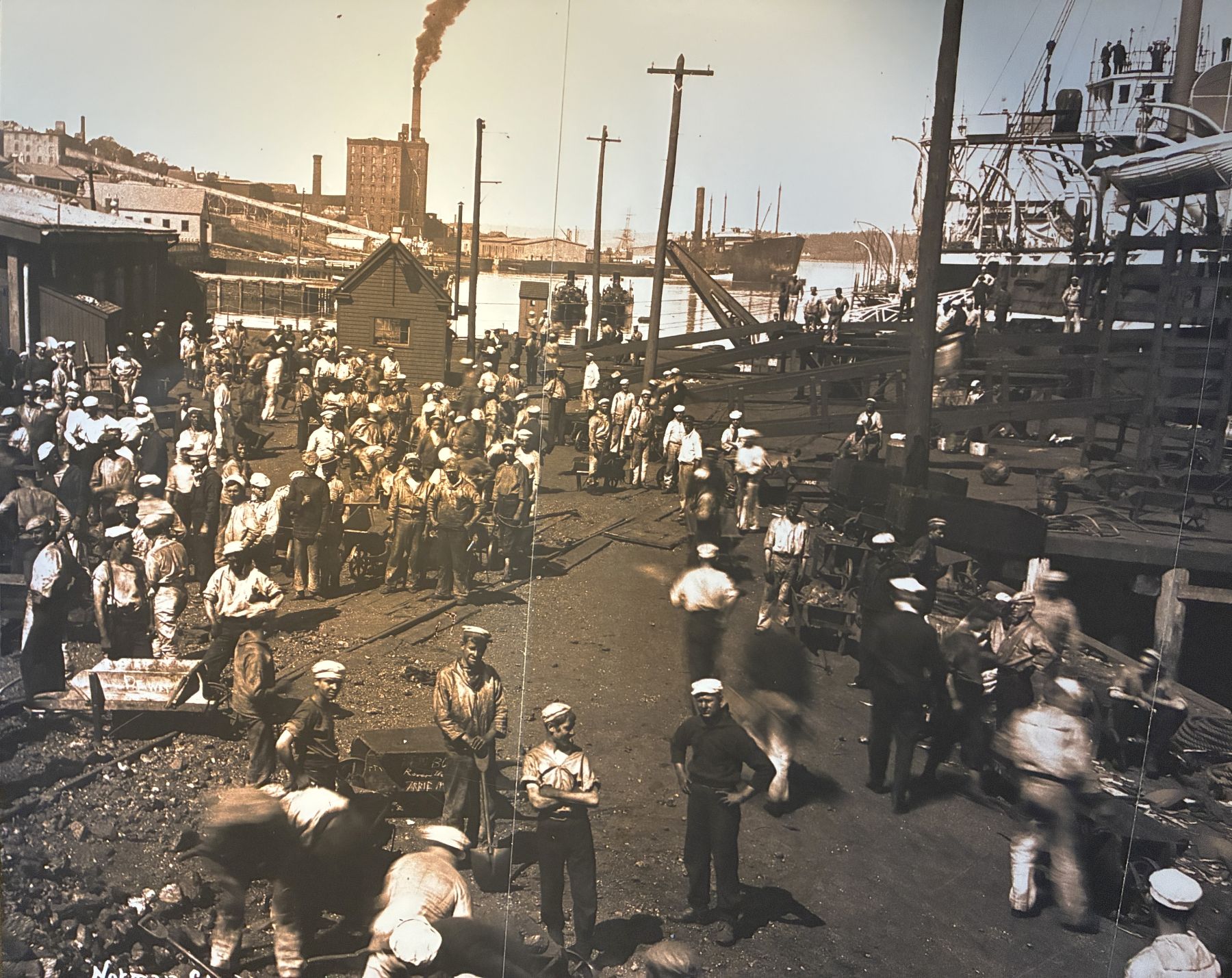
A section of the museum had information about the Halifax Explosion of December 6, 1917. The French cargo ship SS Mont-Blanc (laden with high explosives) collided at low speed with the Norwegian vessel SS Imo in Halifax Harbour.
Before the explosion… a typical scene
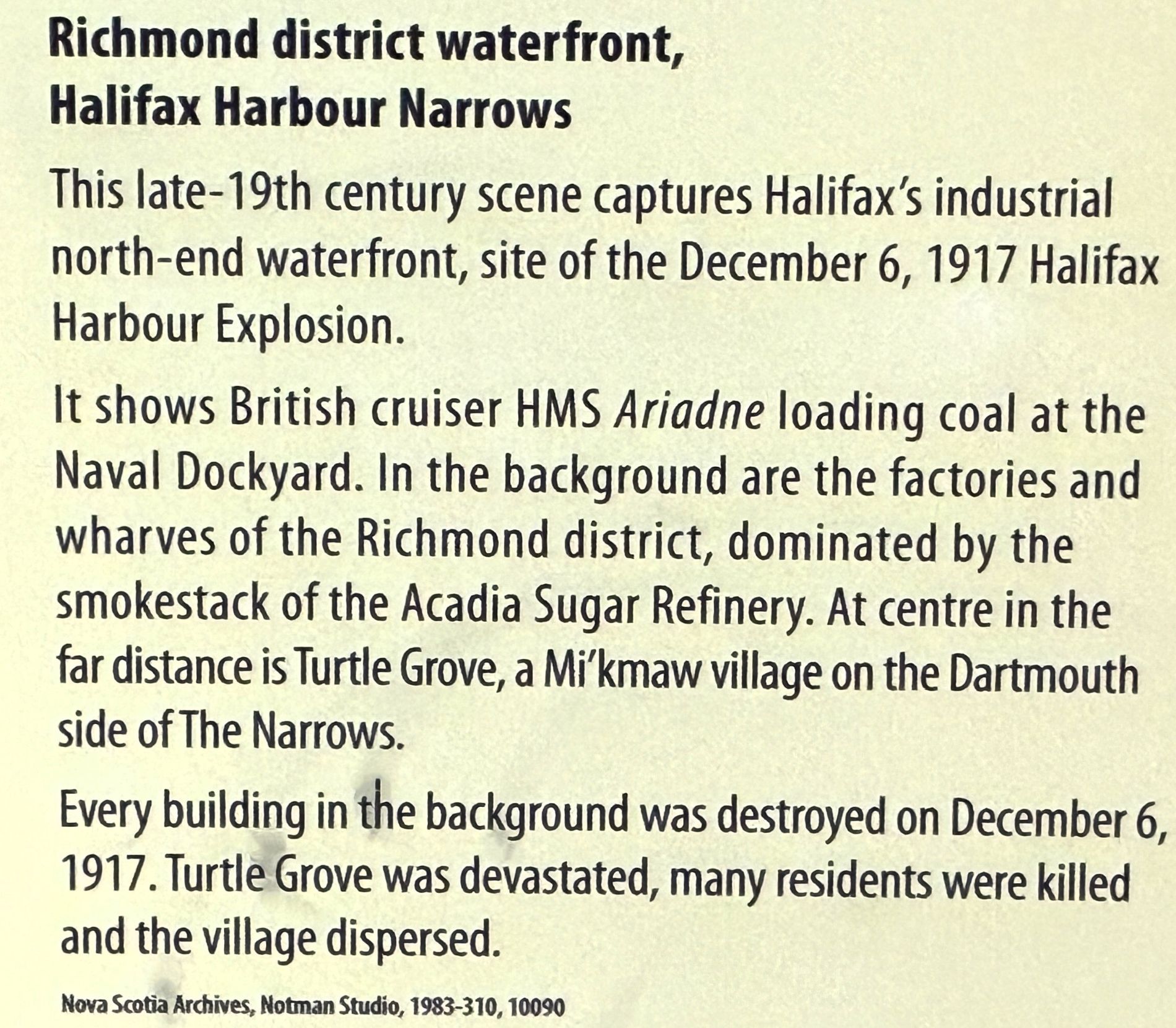
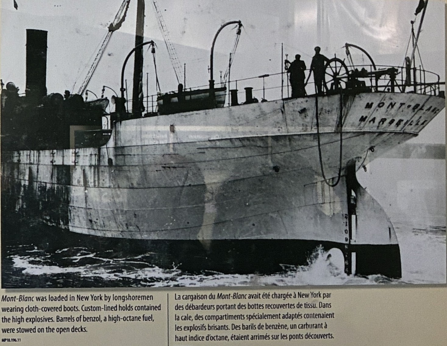
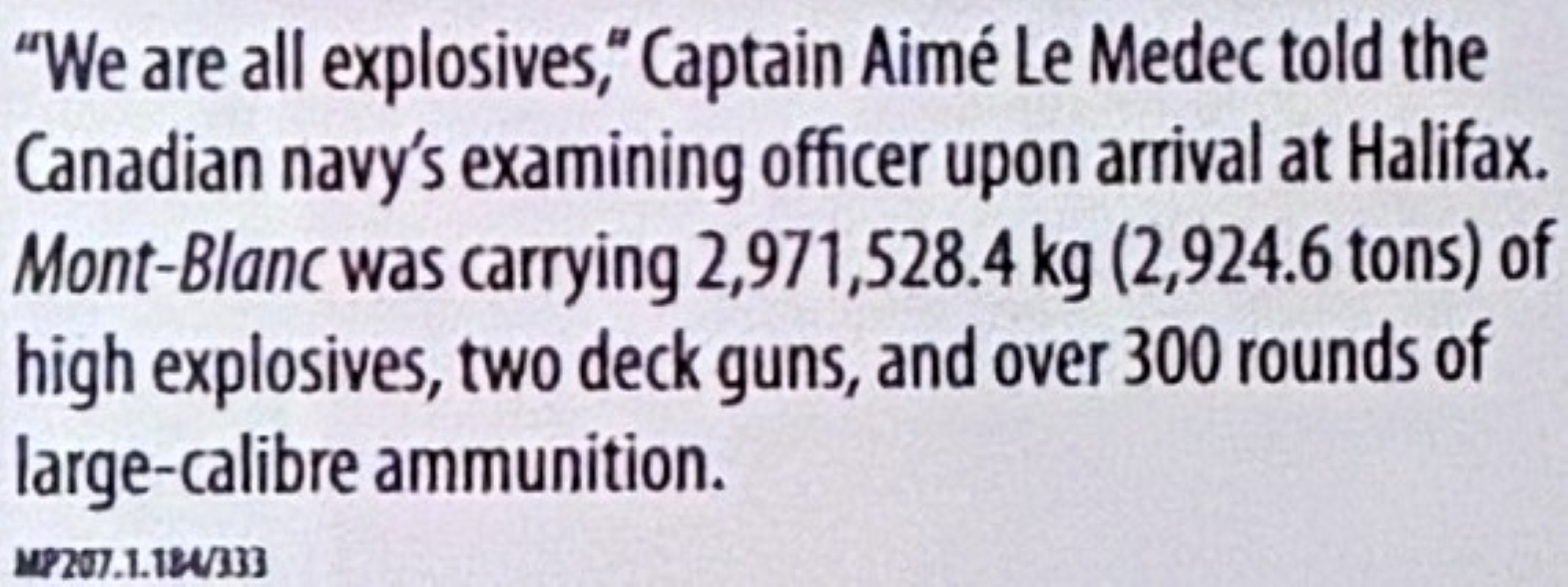
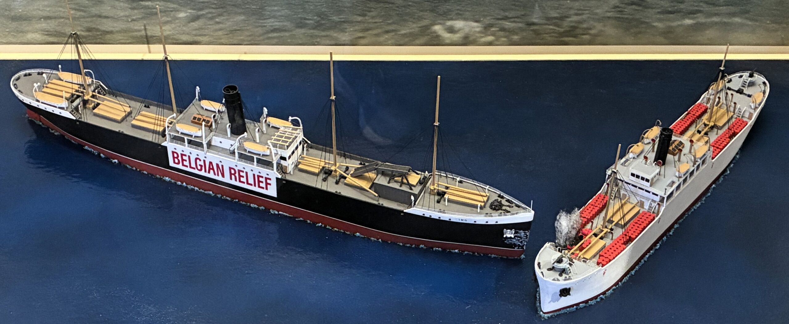
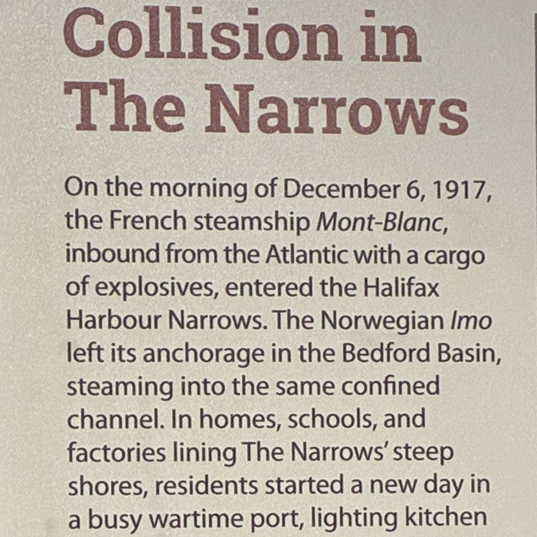
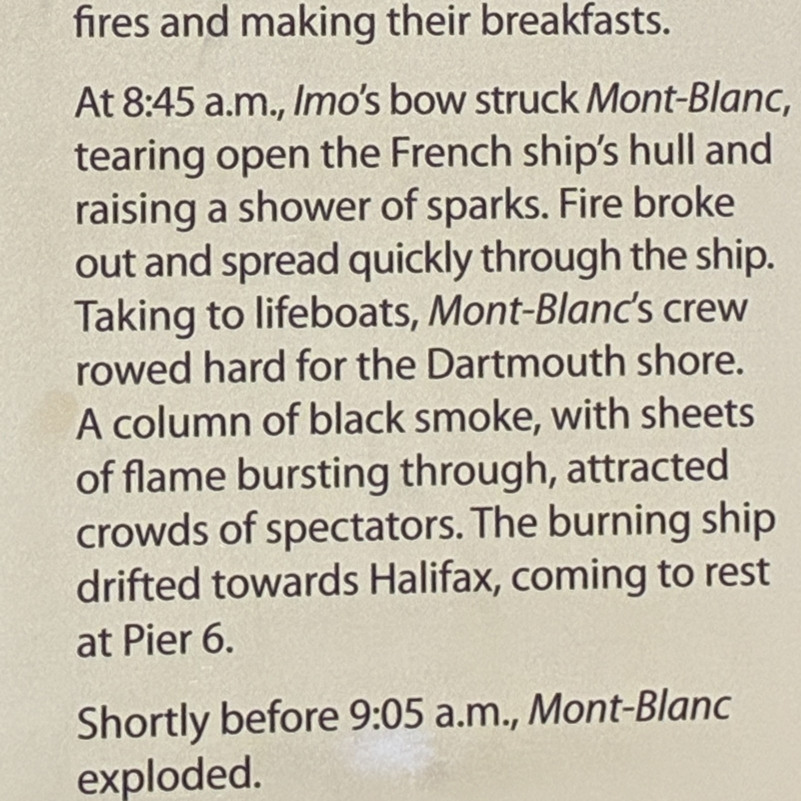
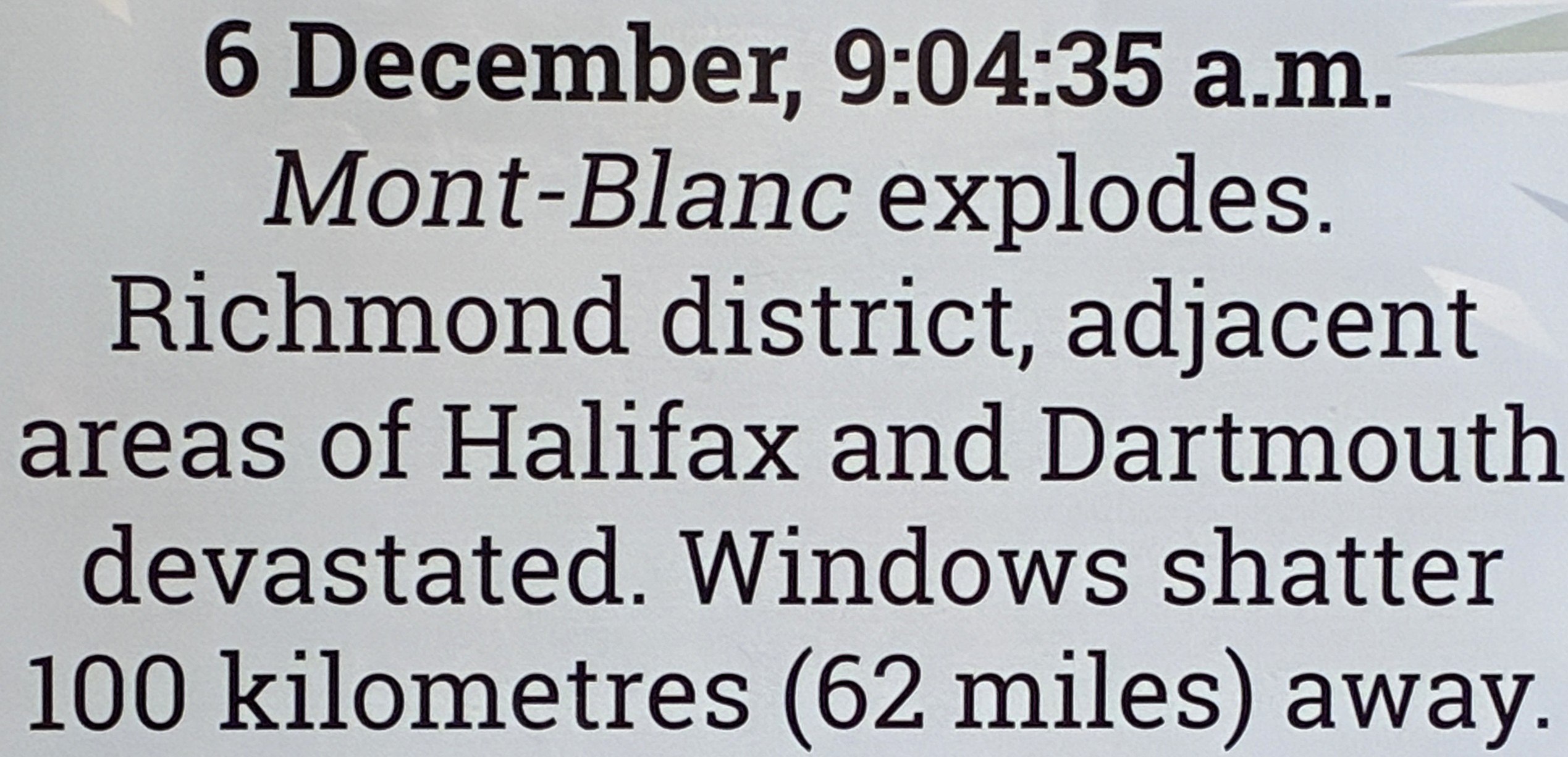

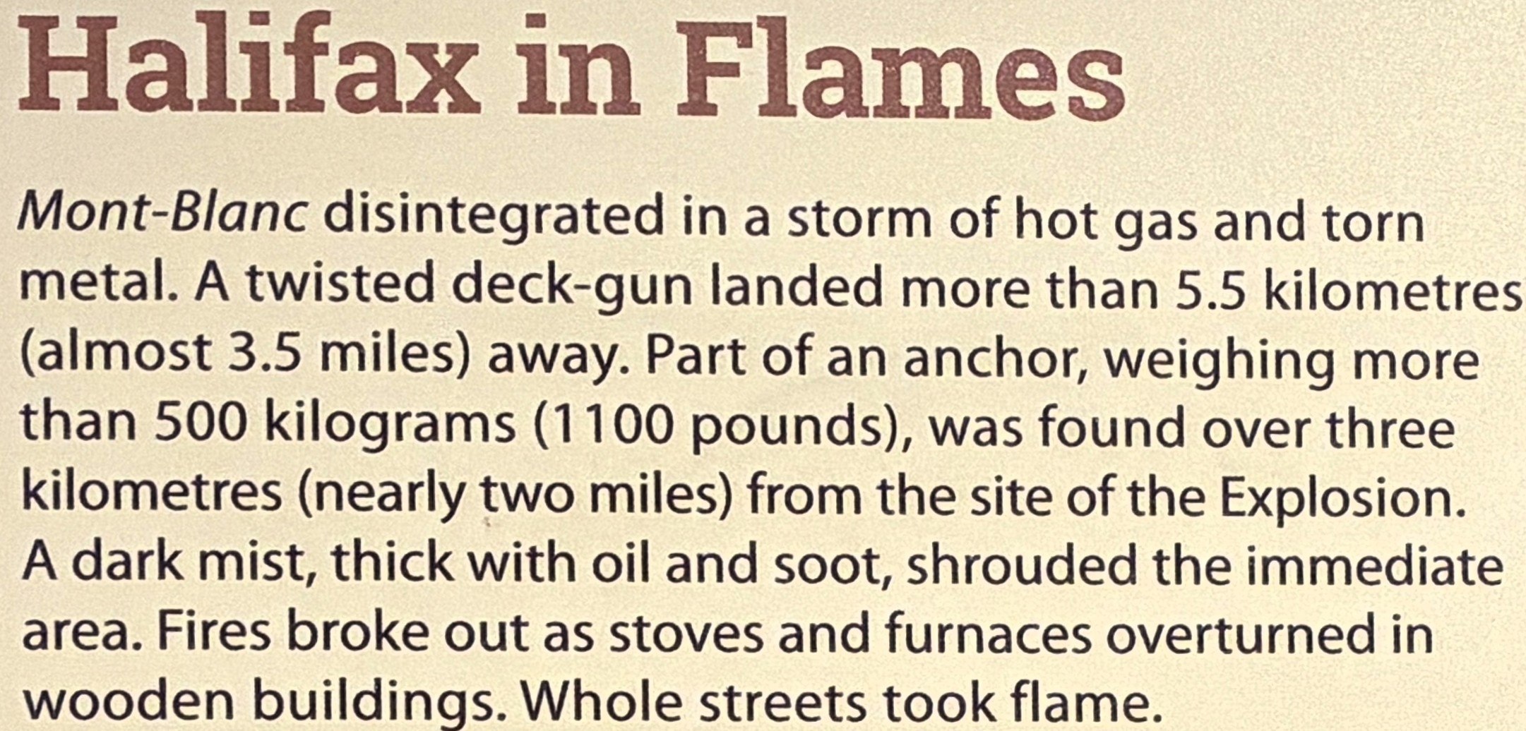
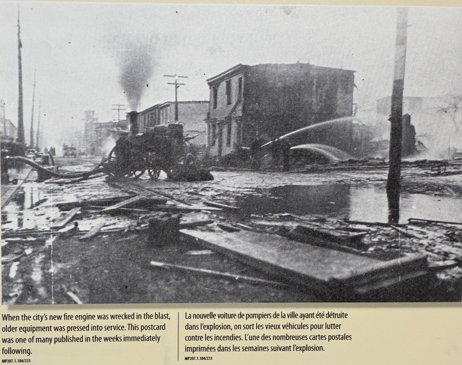
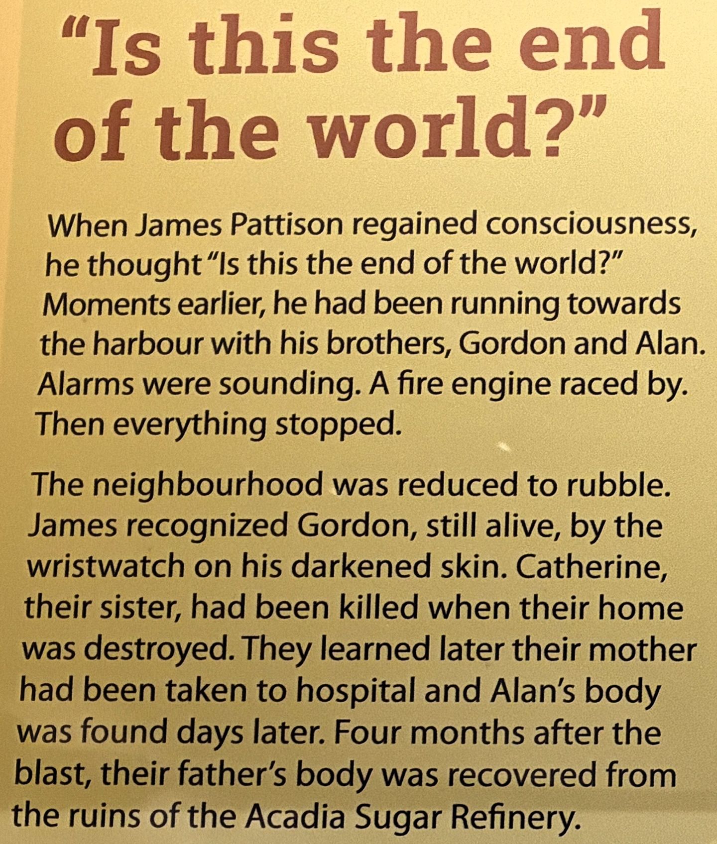
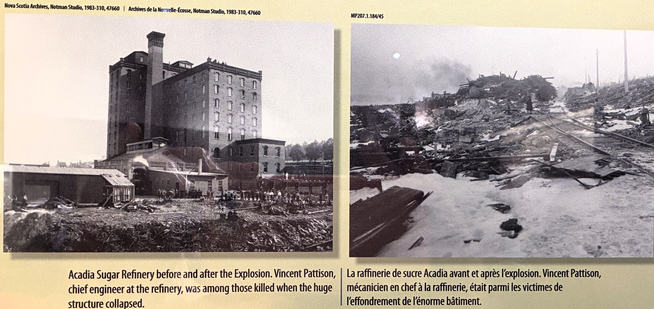
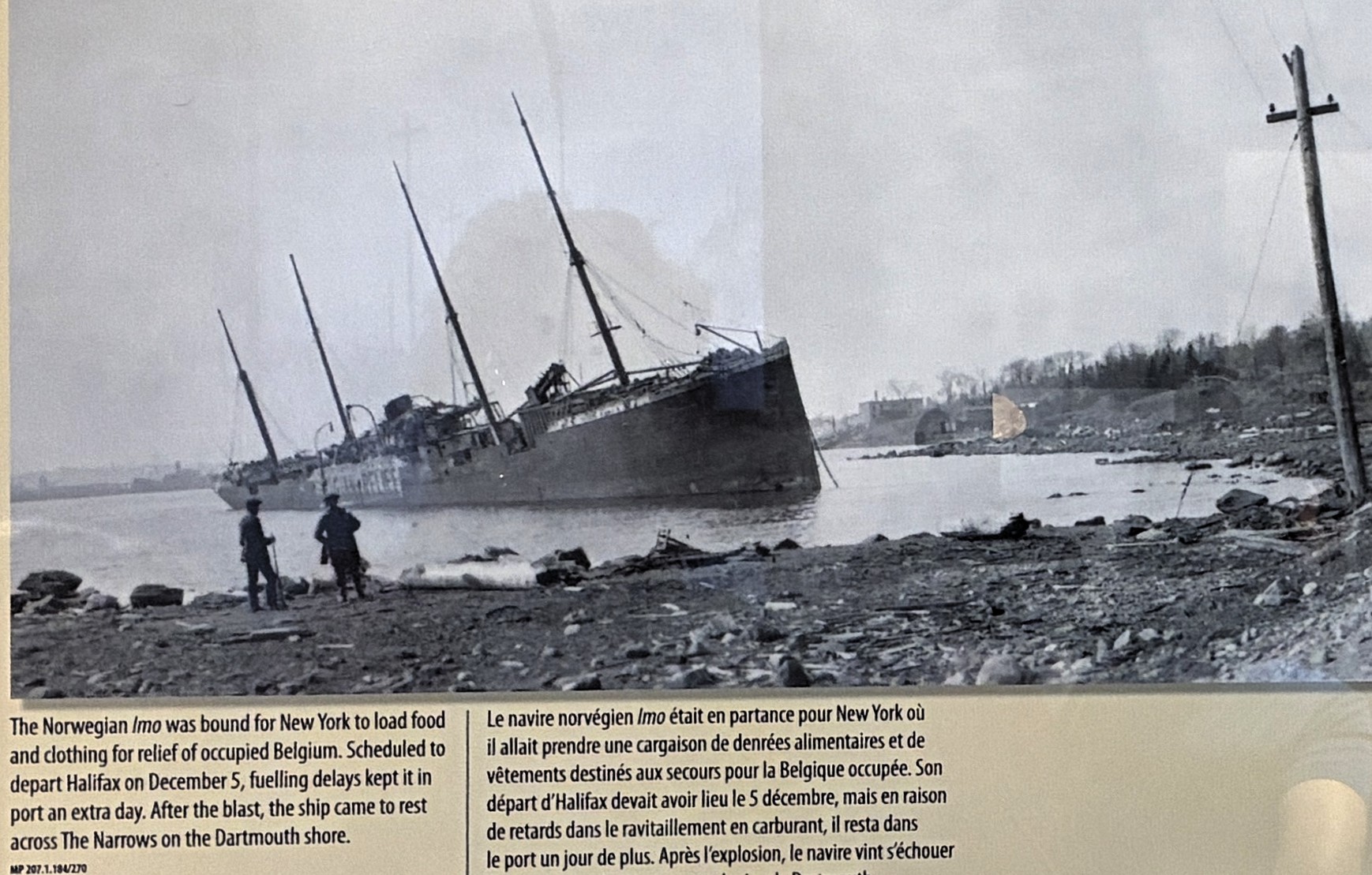
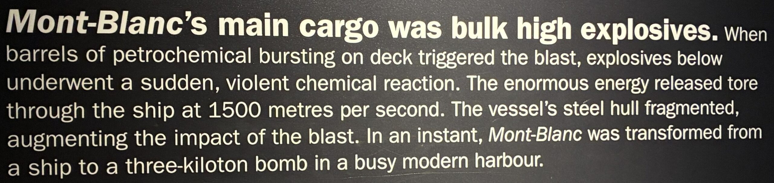
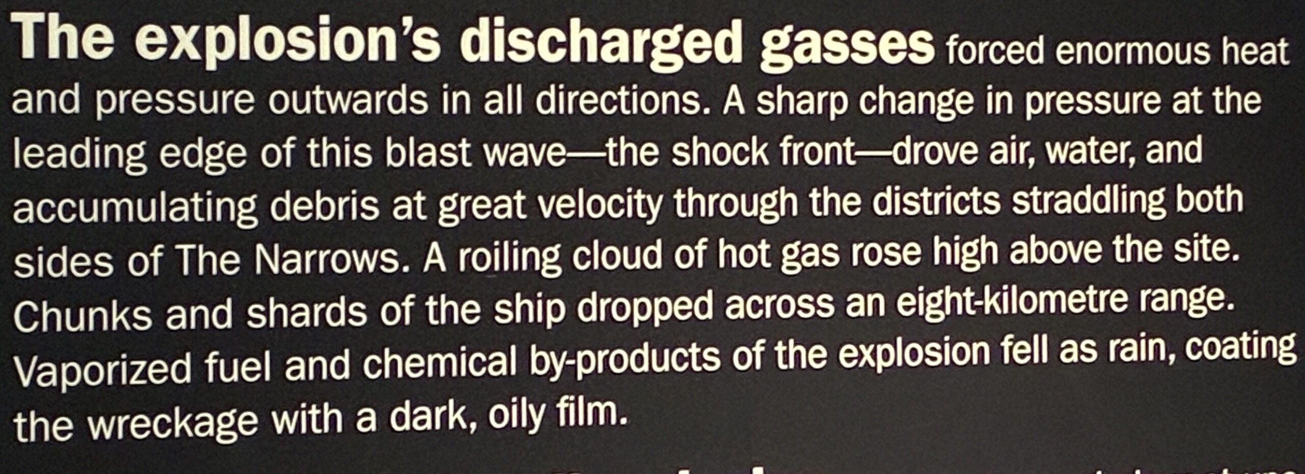
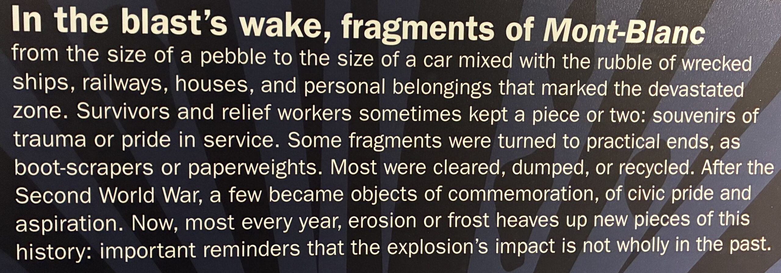
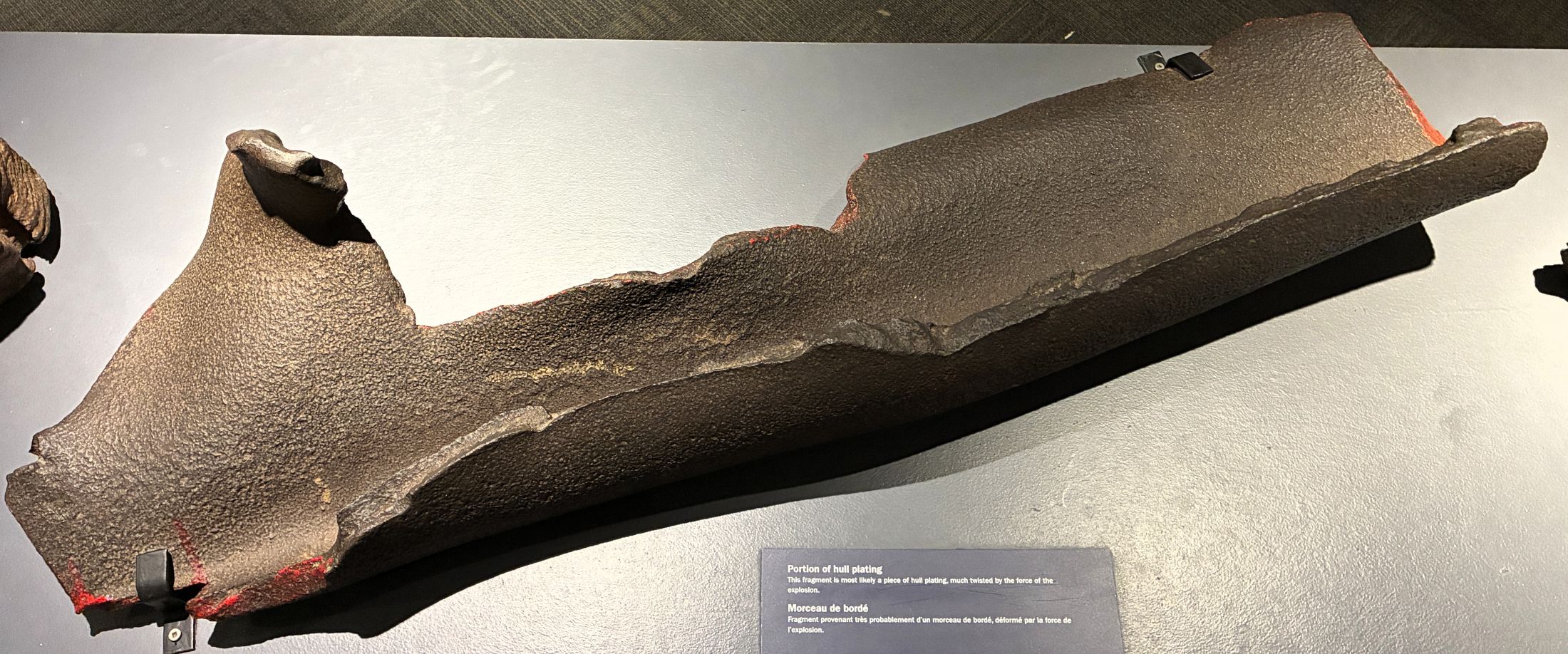
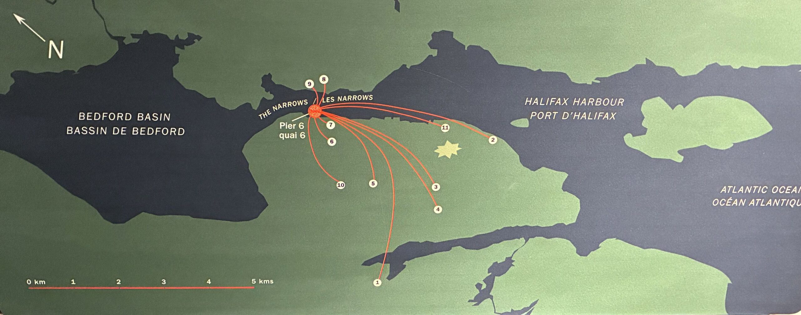
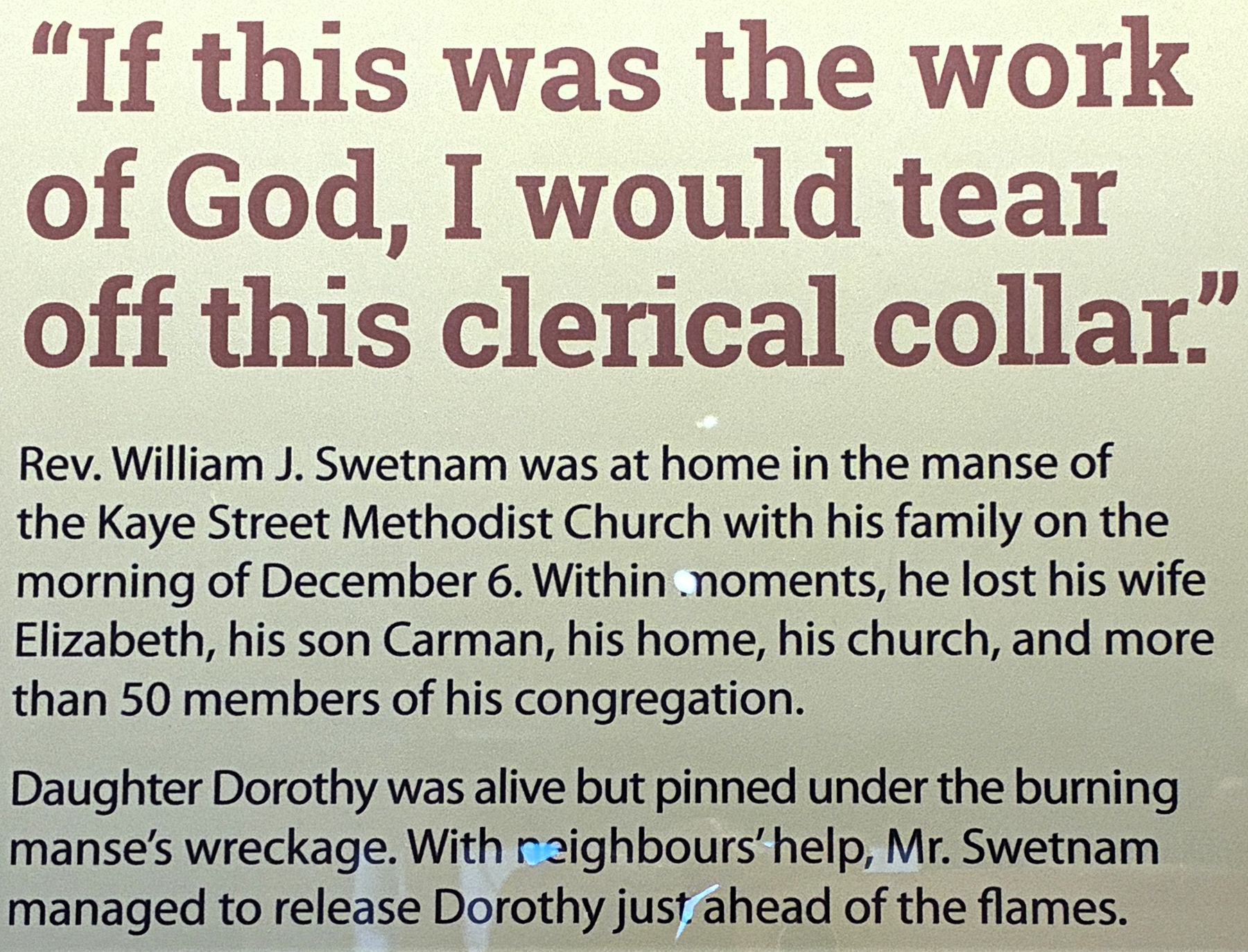
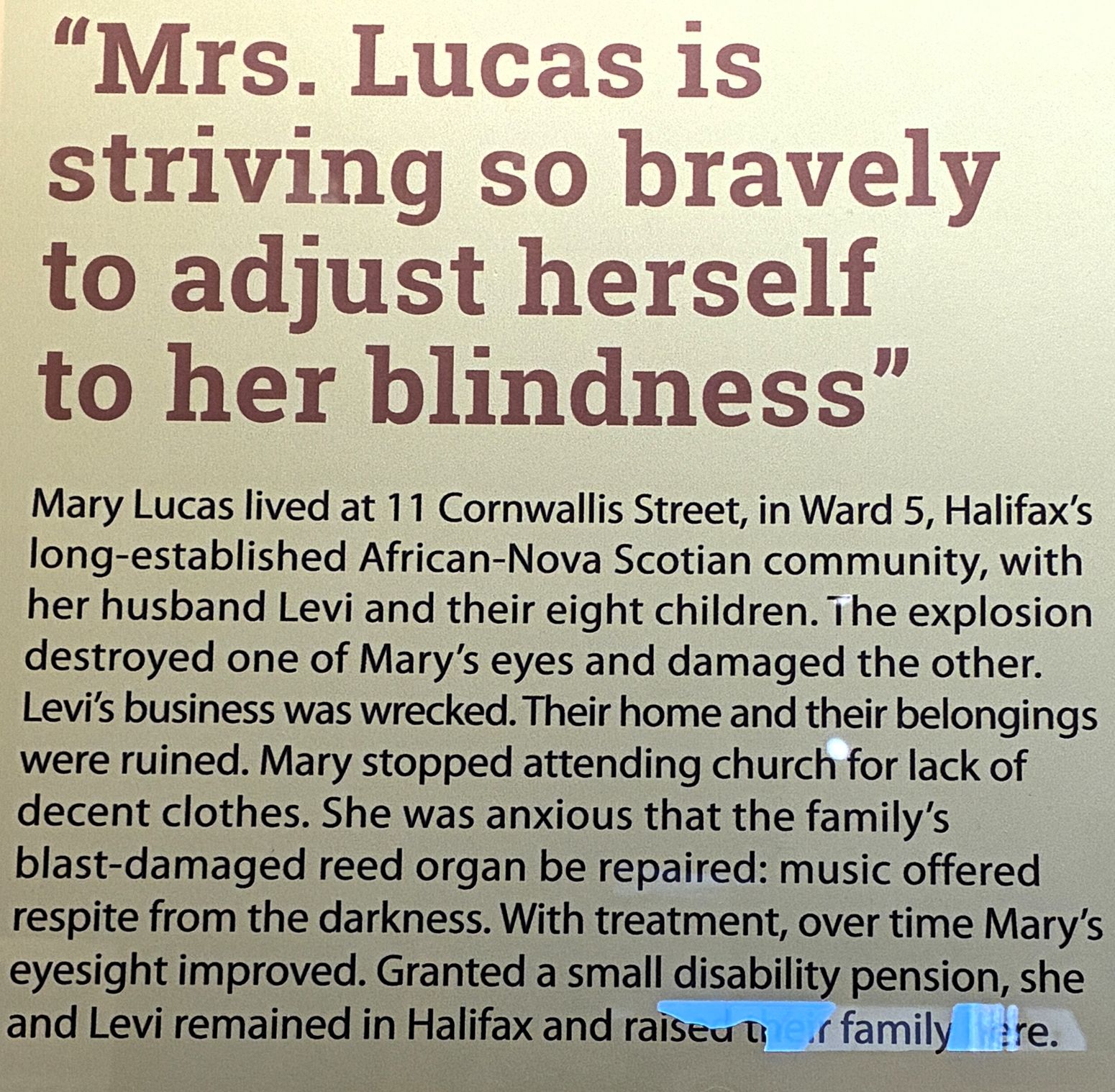
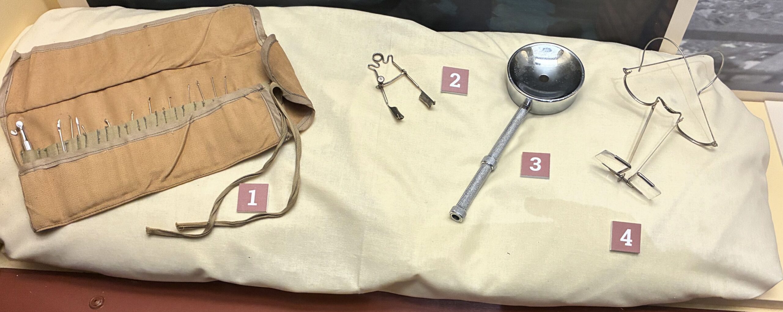
As a result of the explosion, many survivors suffered damage to their eyes from flying glass and debris.
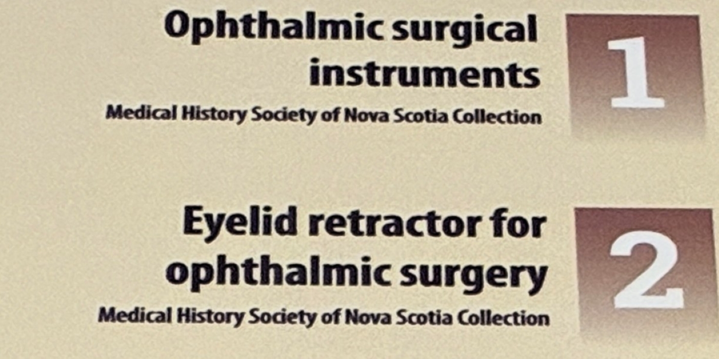
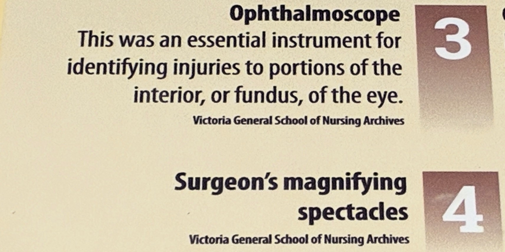
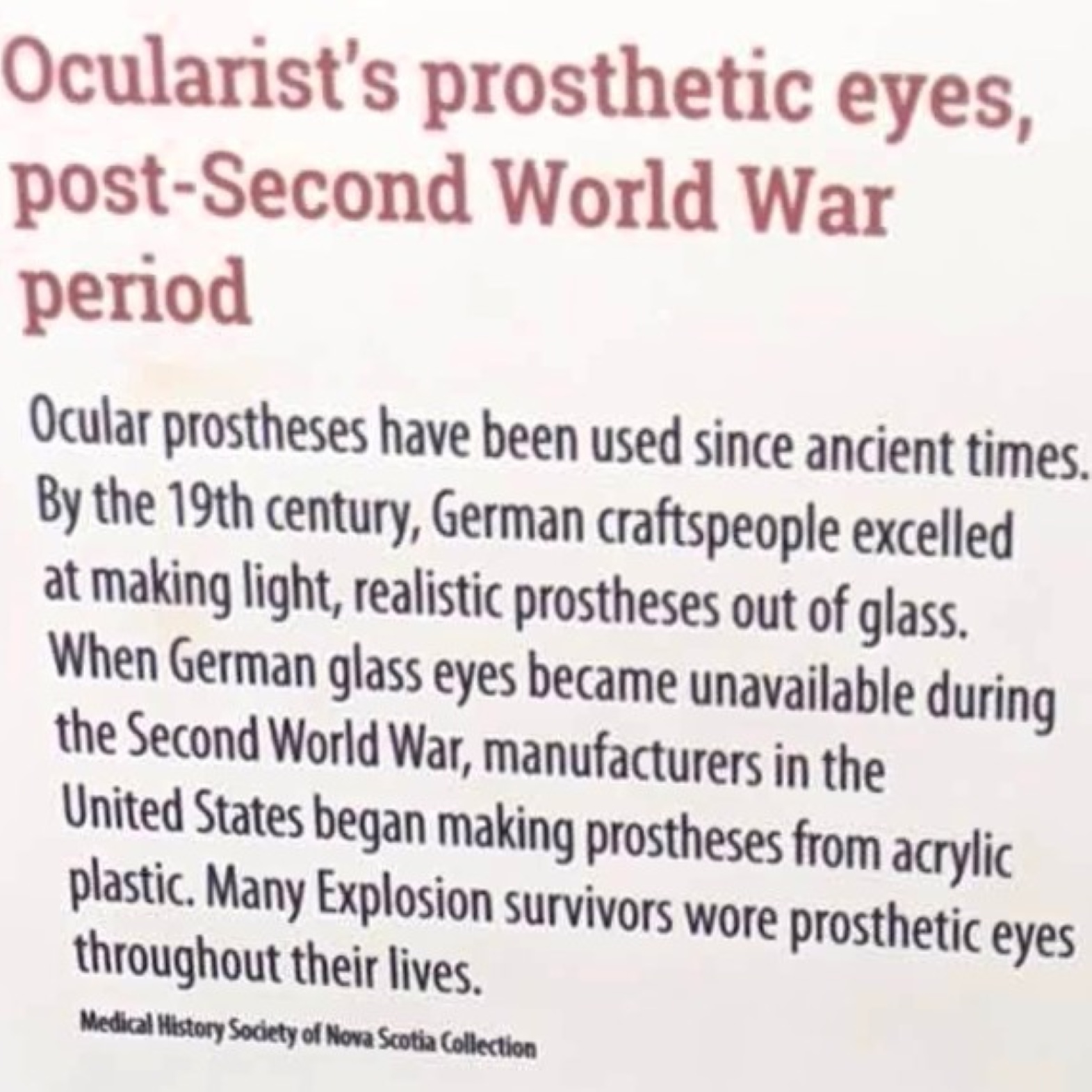
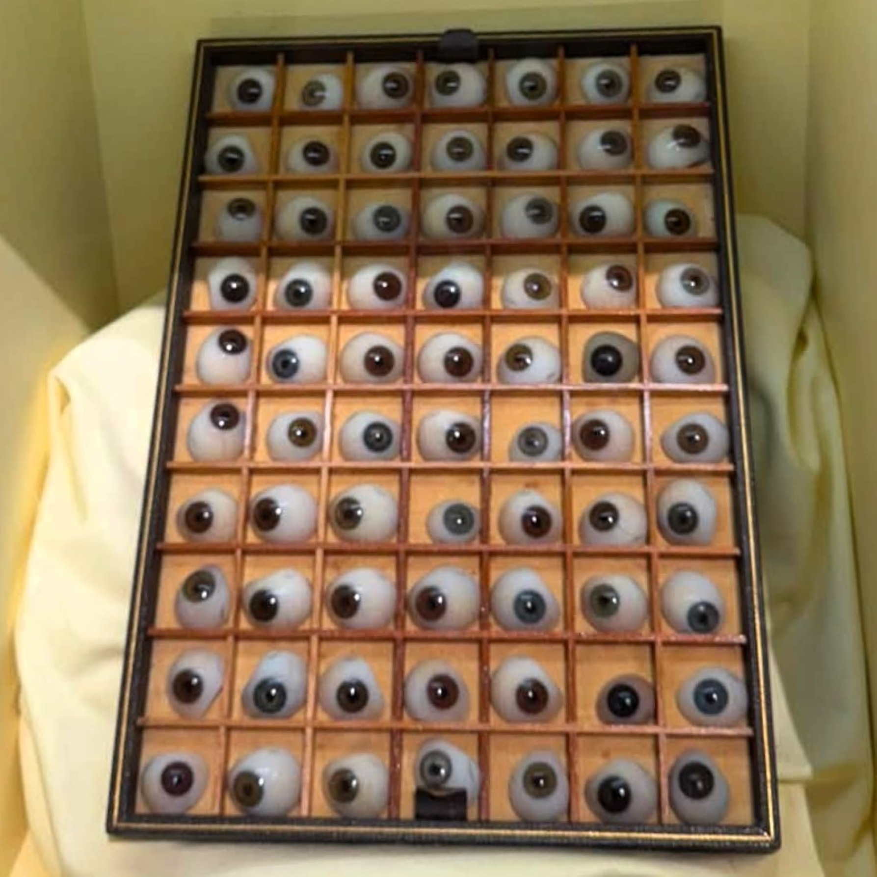
After viewing all this about the Explosion, we moved on to learn about shipwrecks!
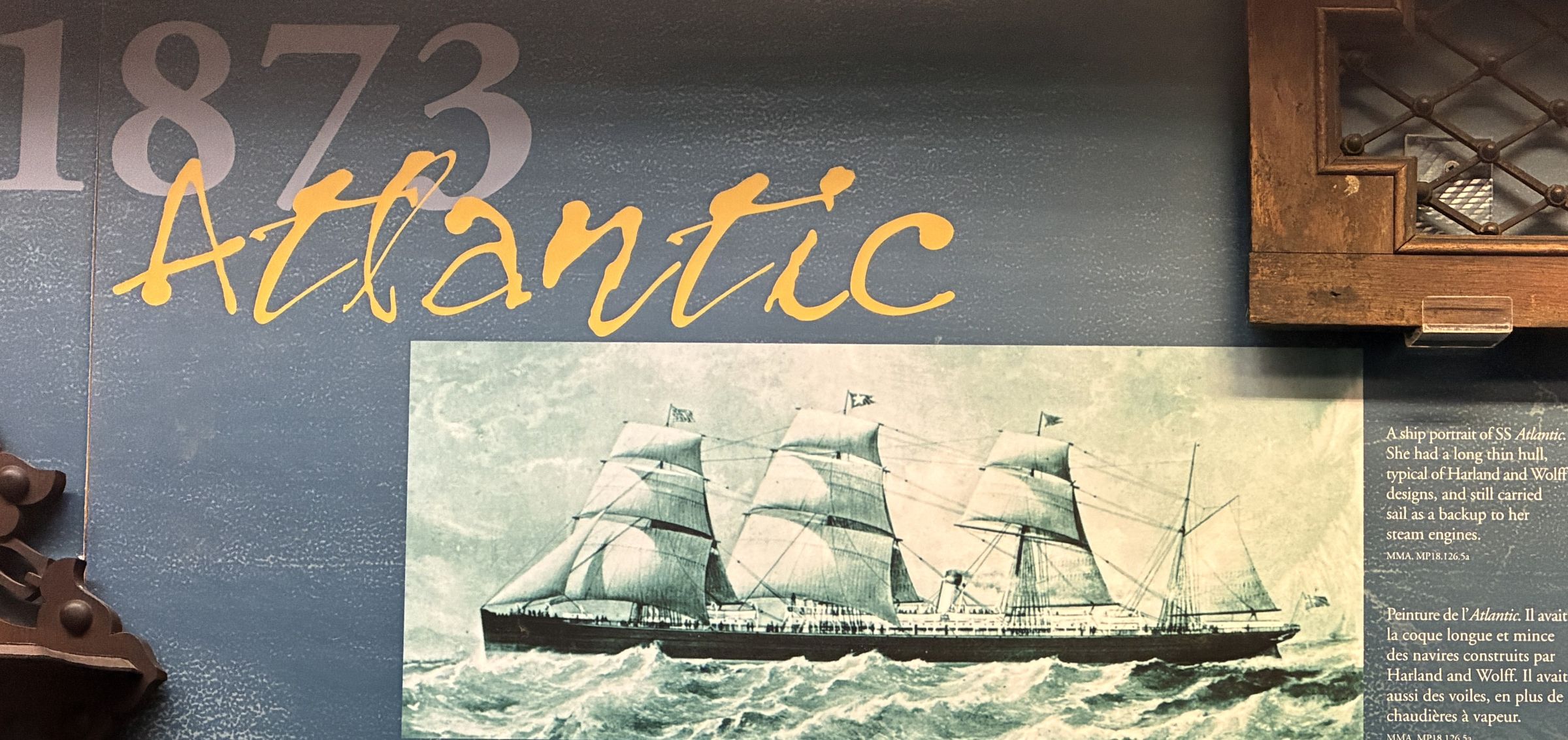
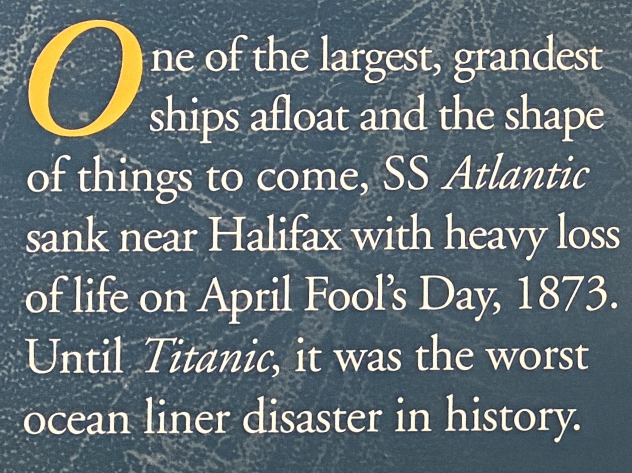
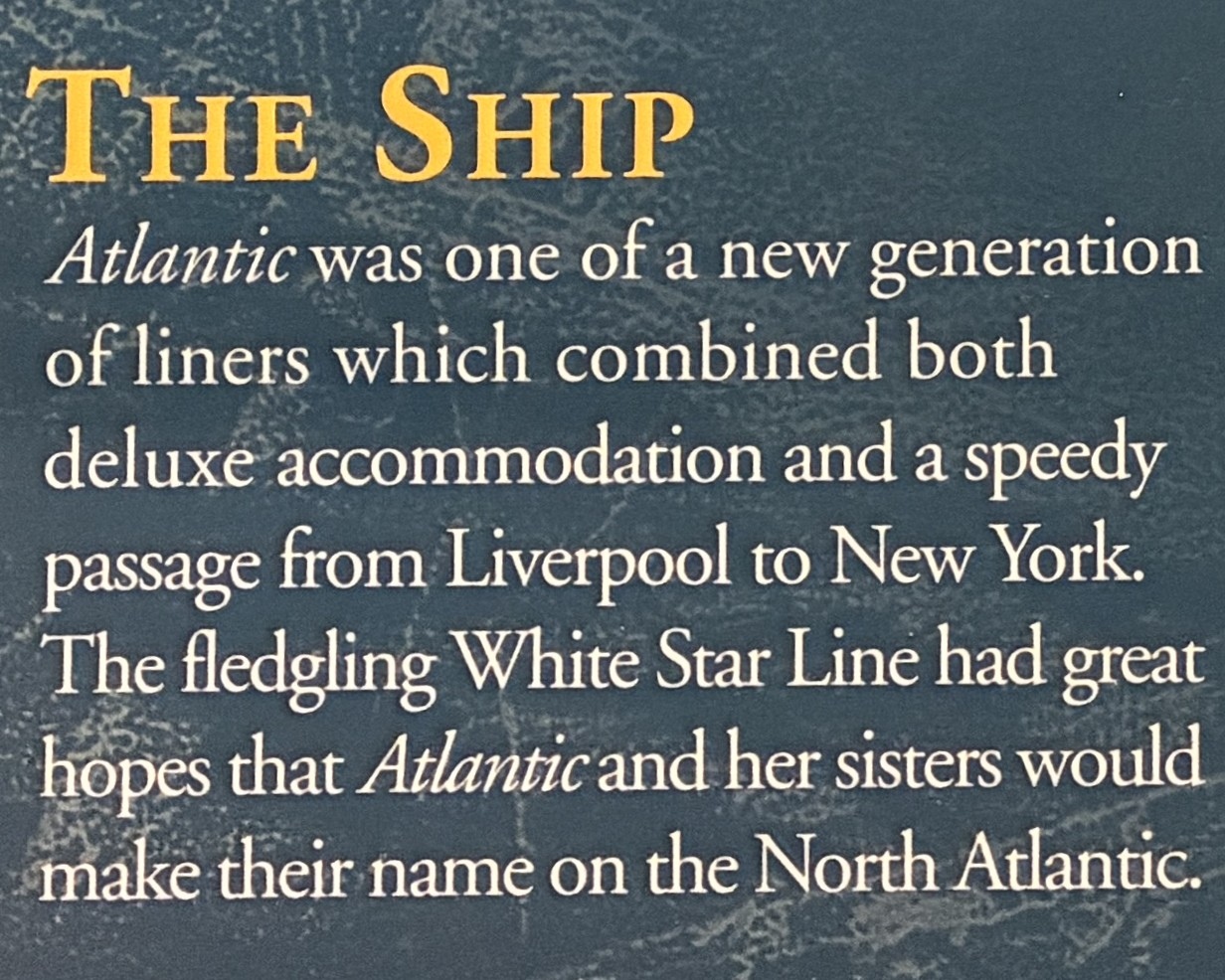
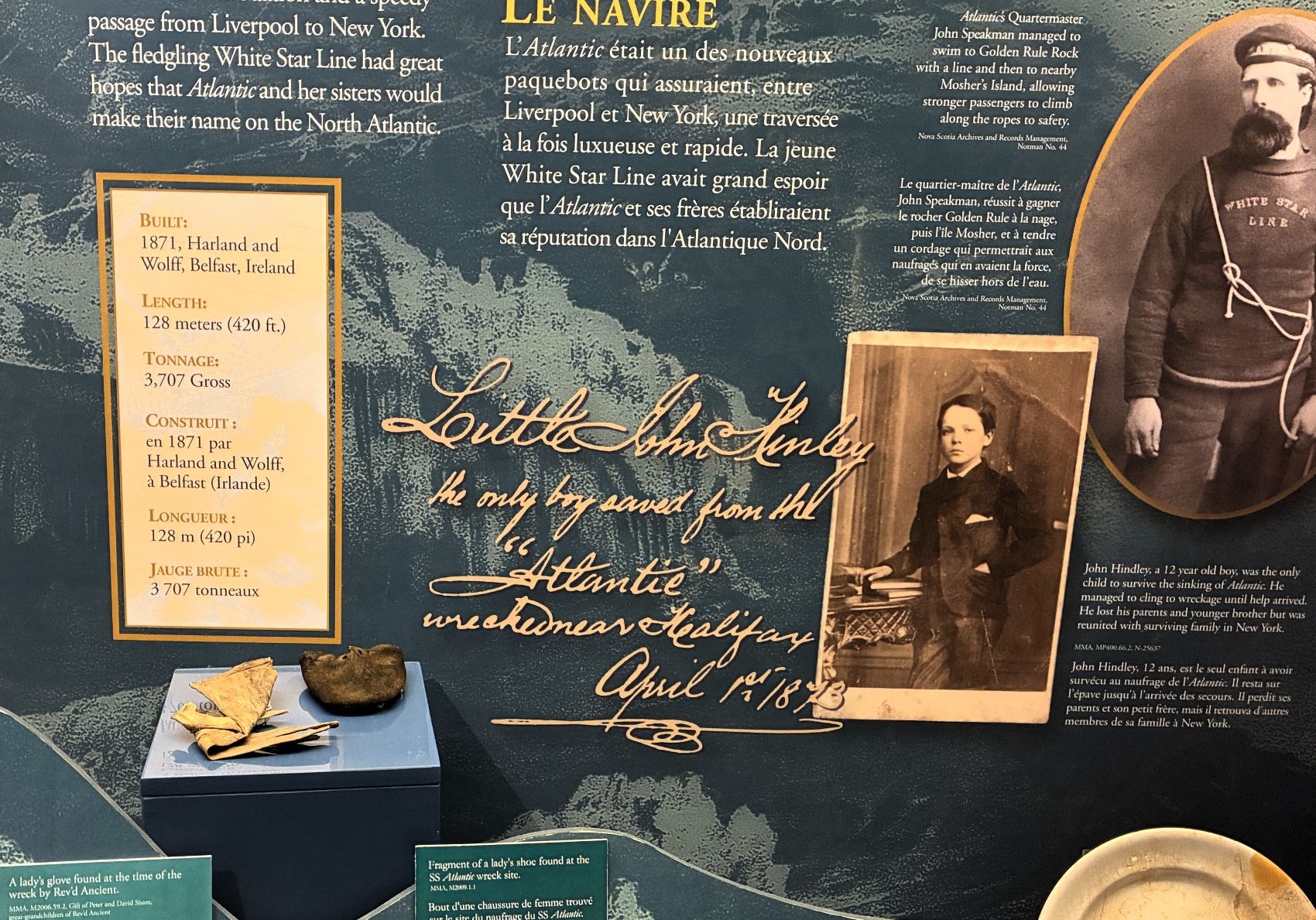
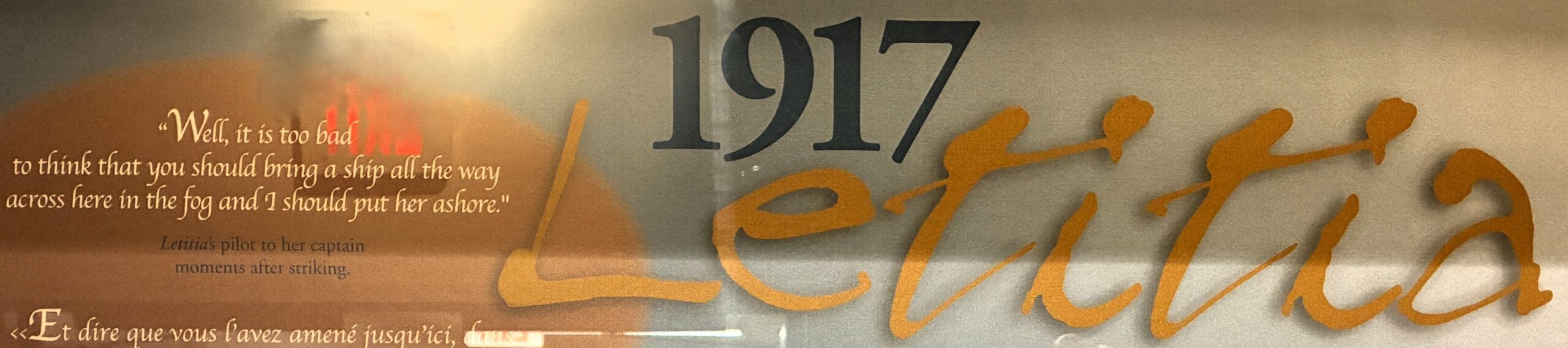
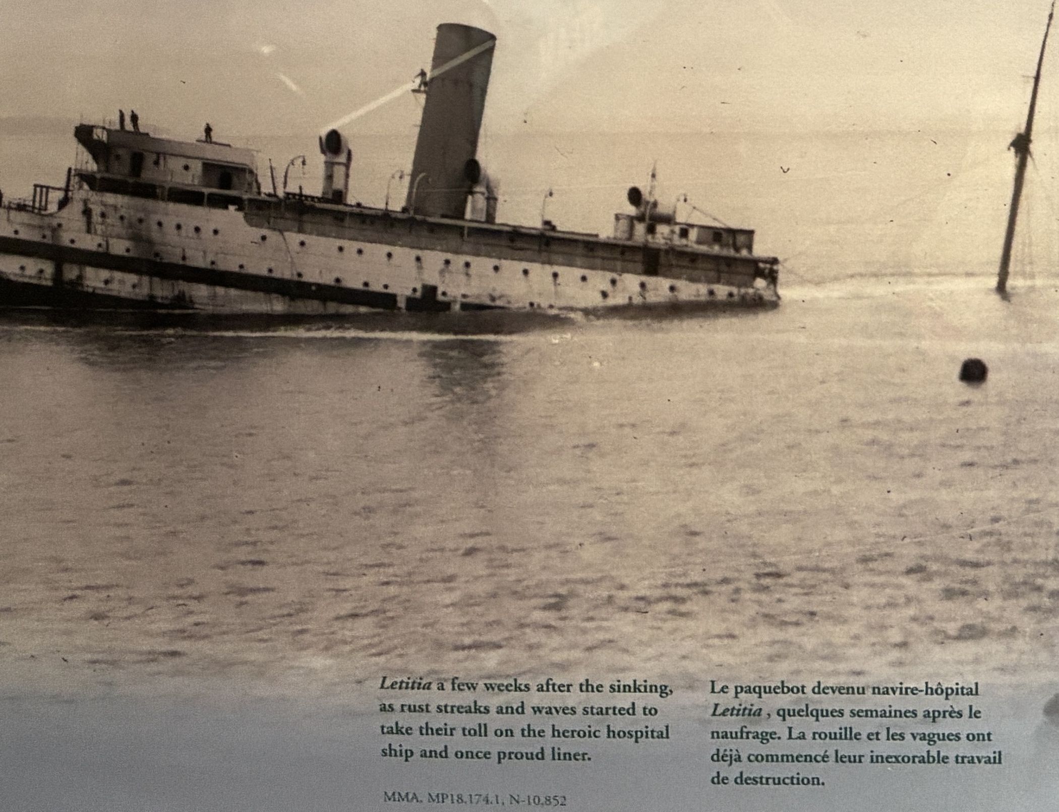
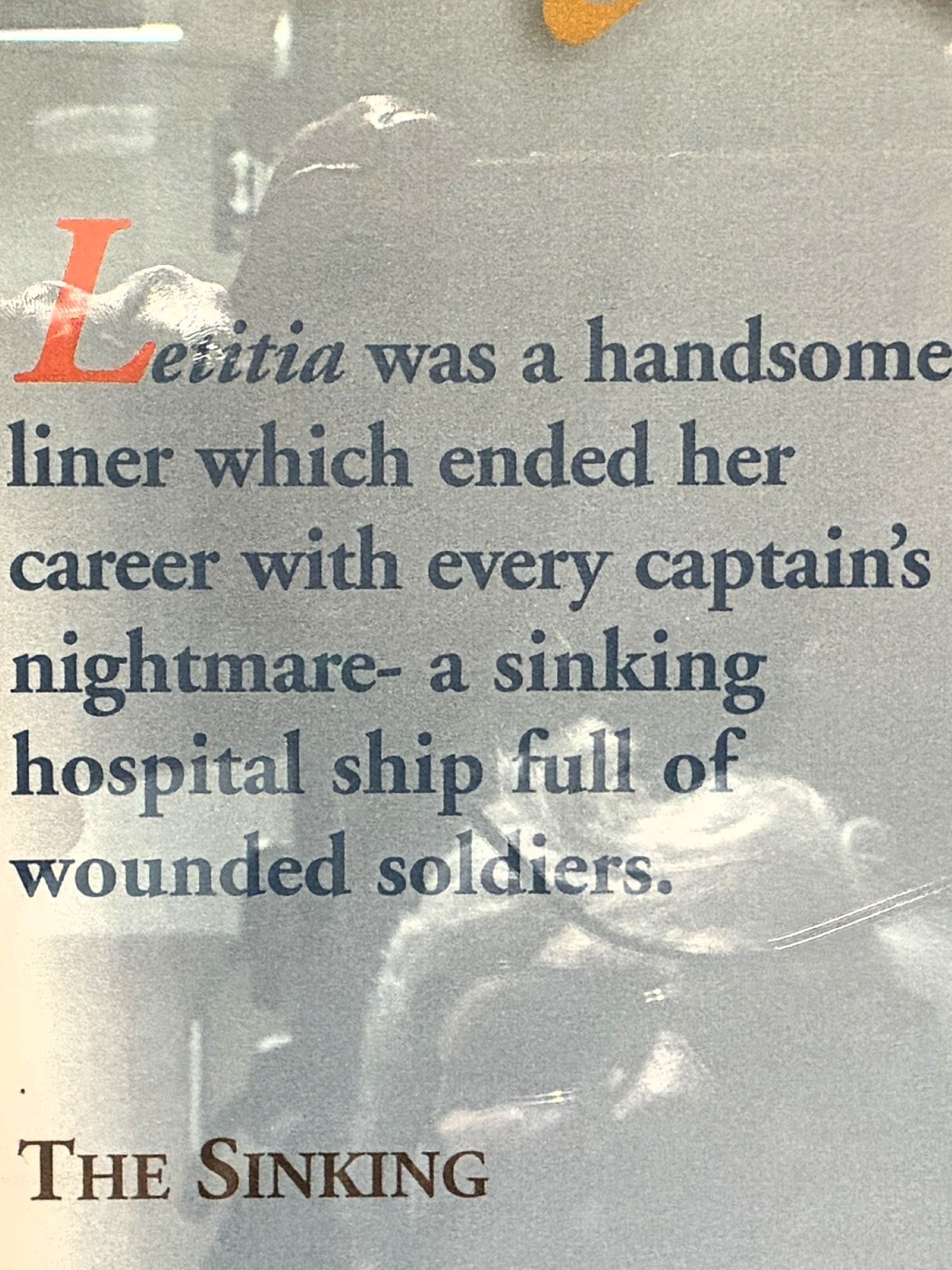
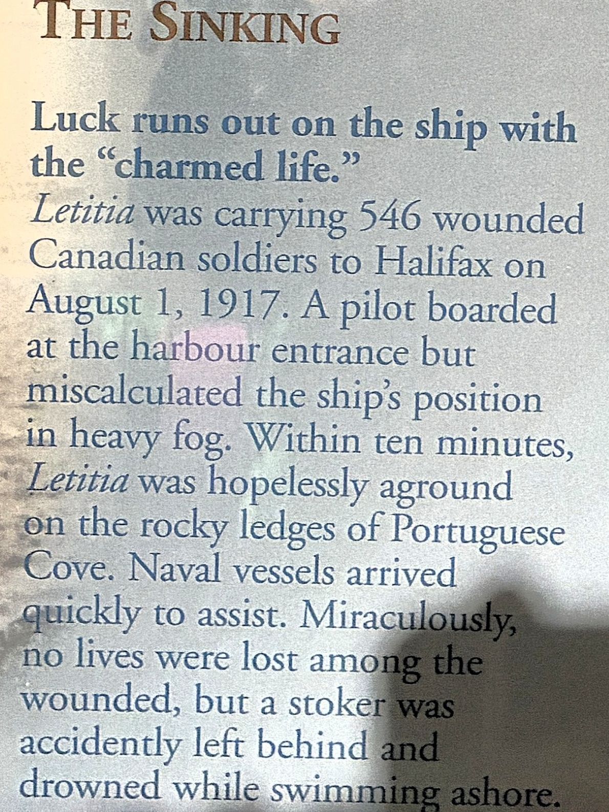
And of course, the Titanic!
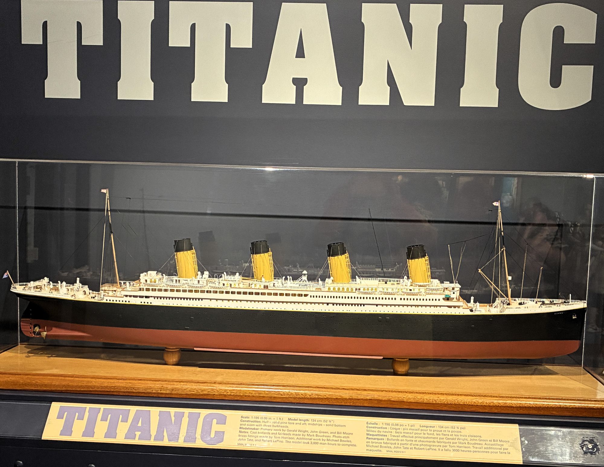

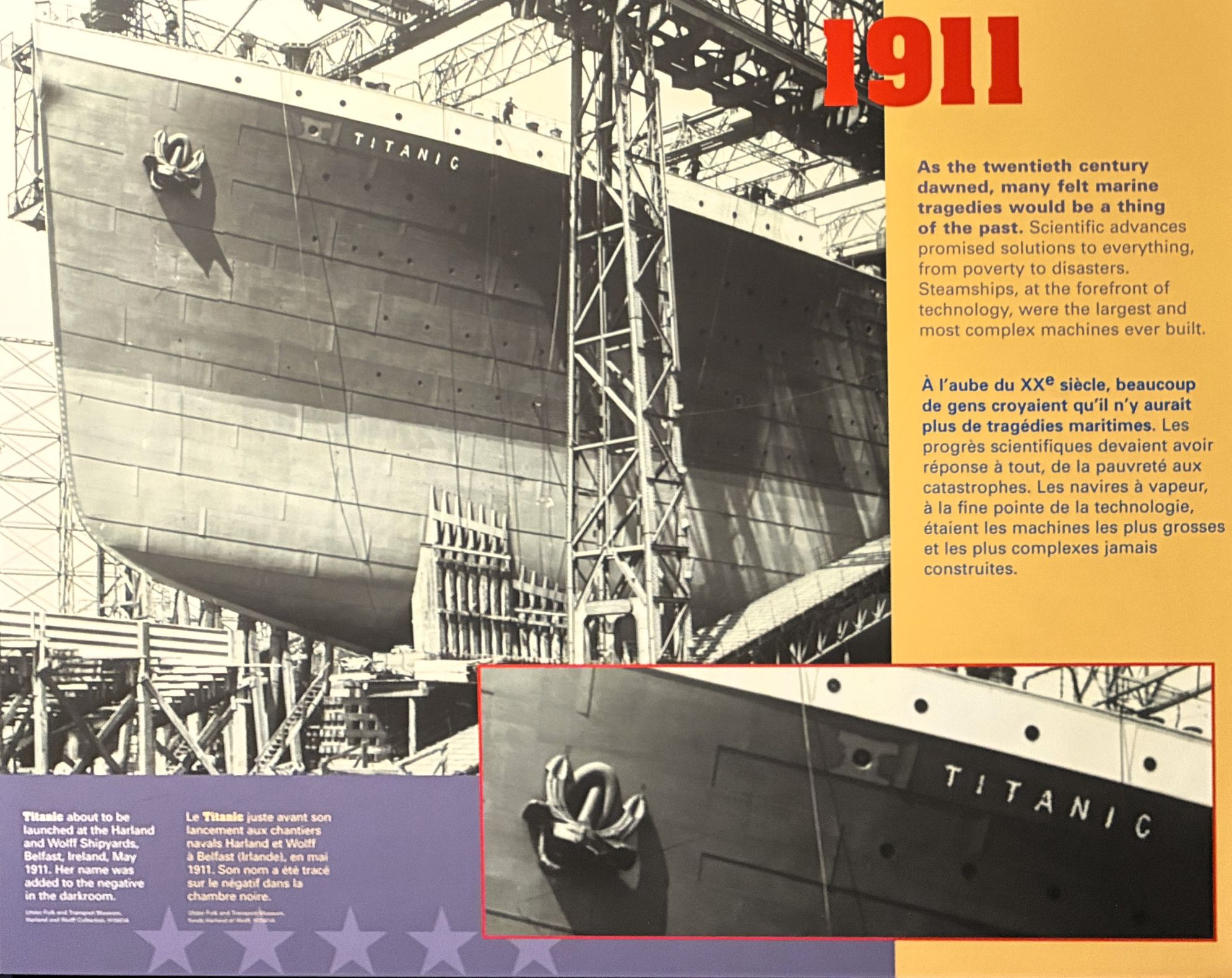
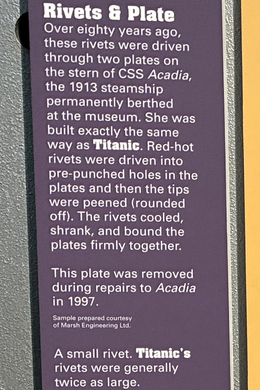
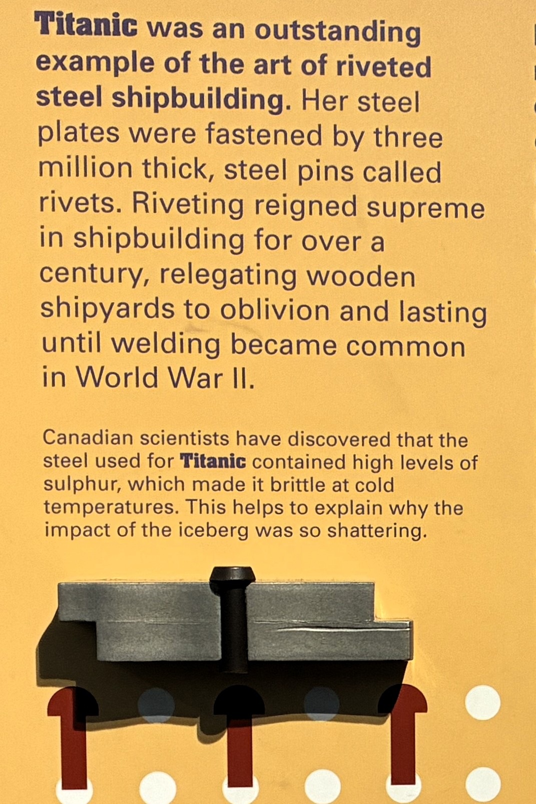
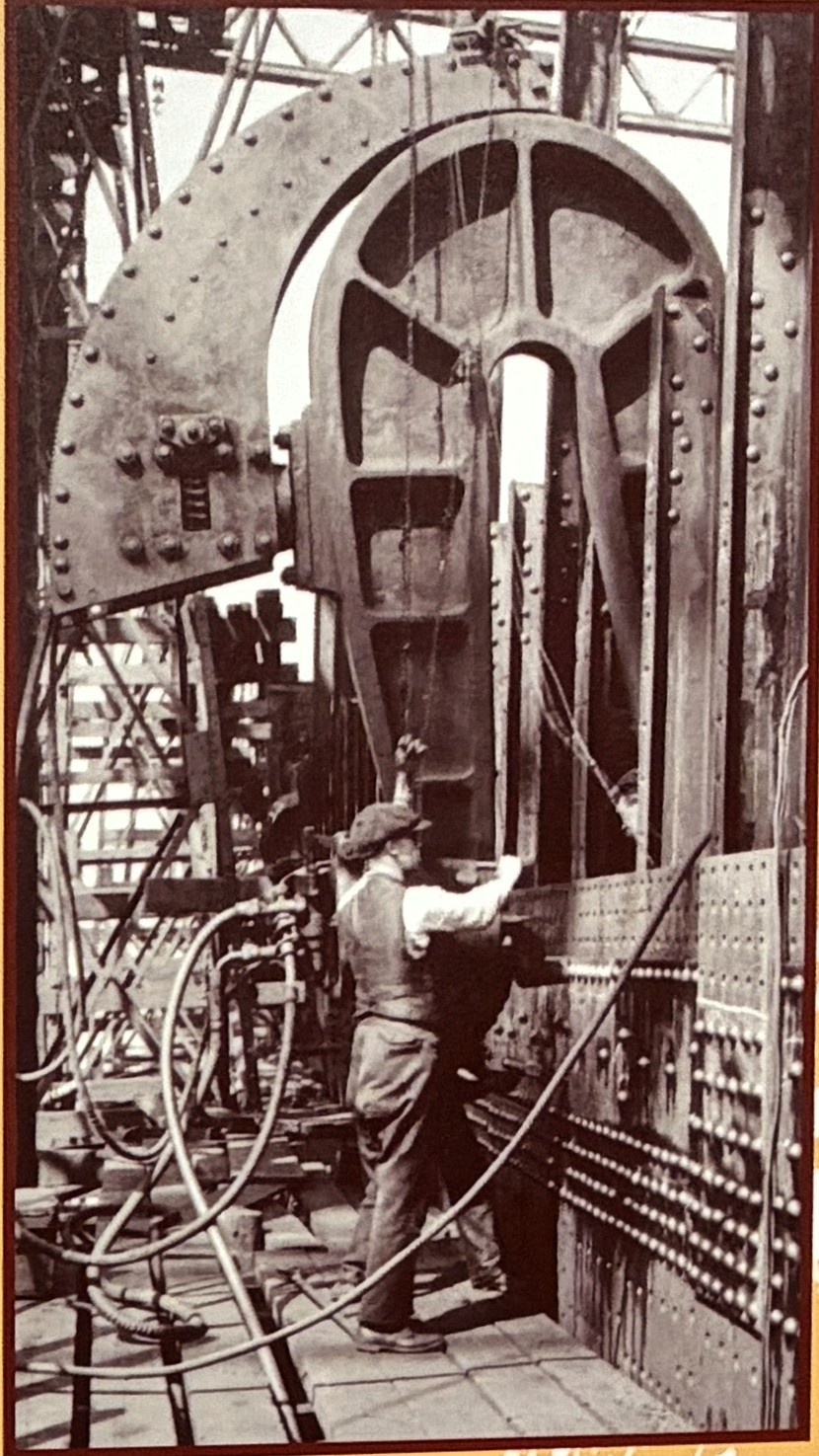
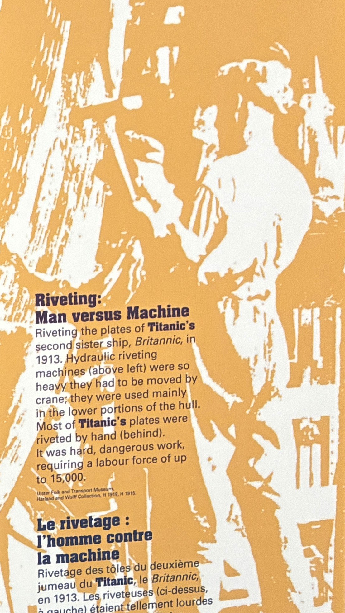
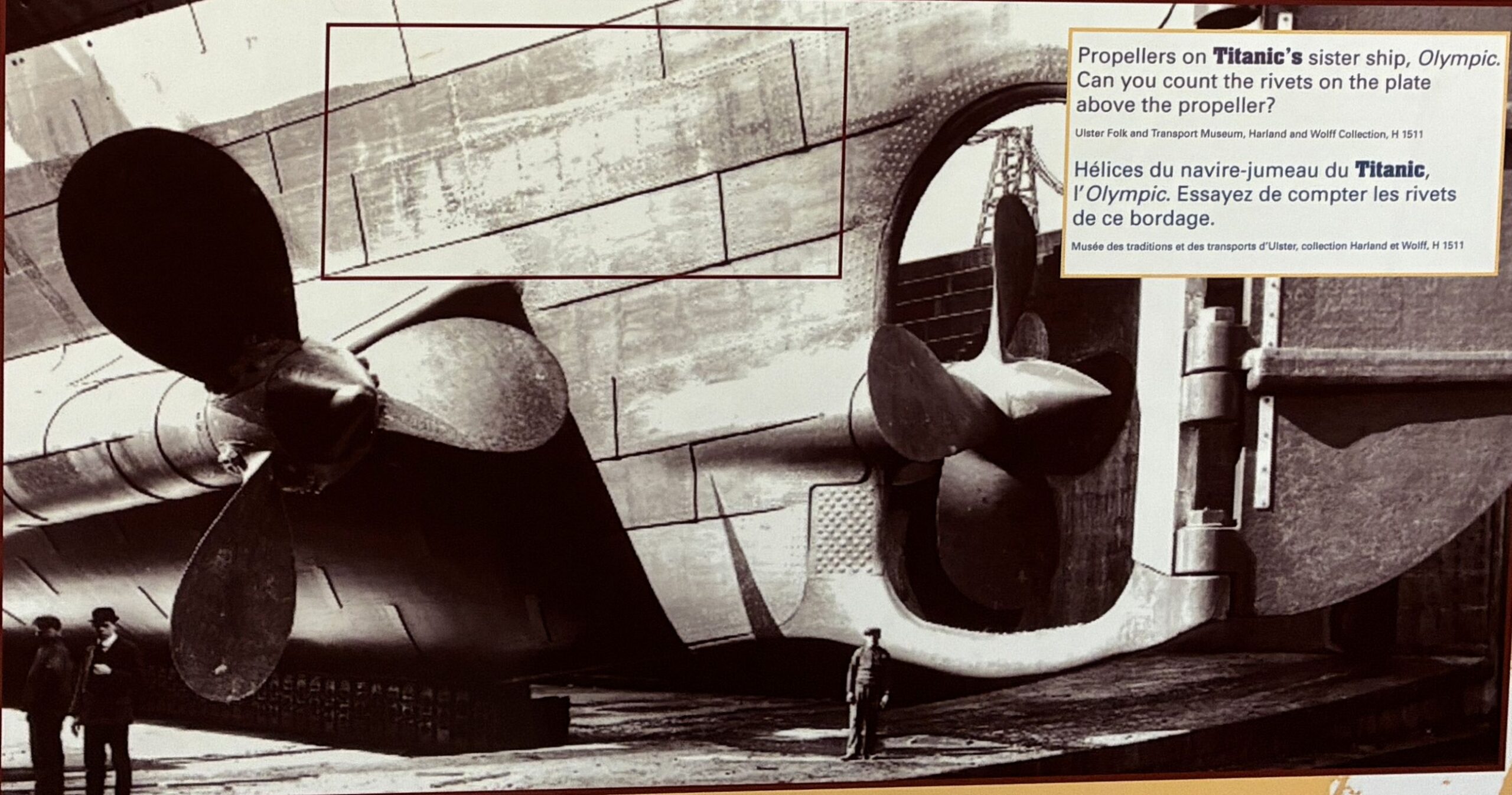
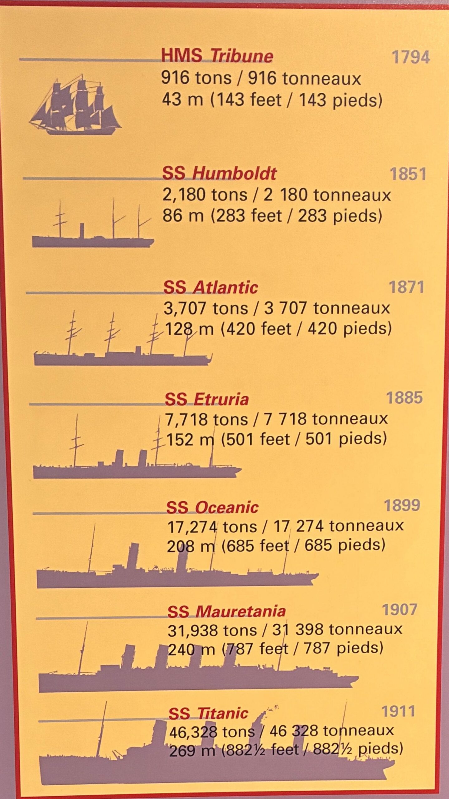
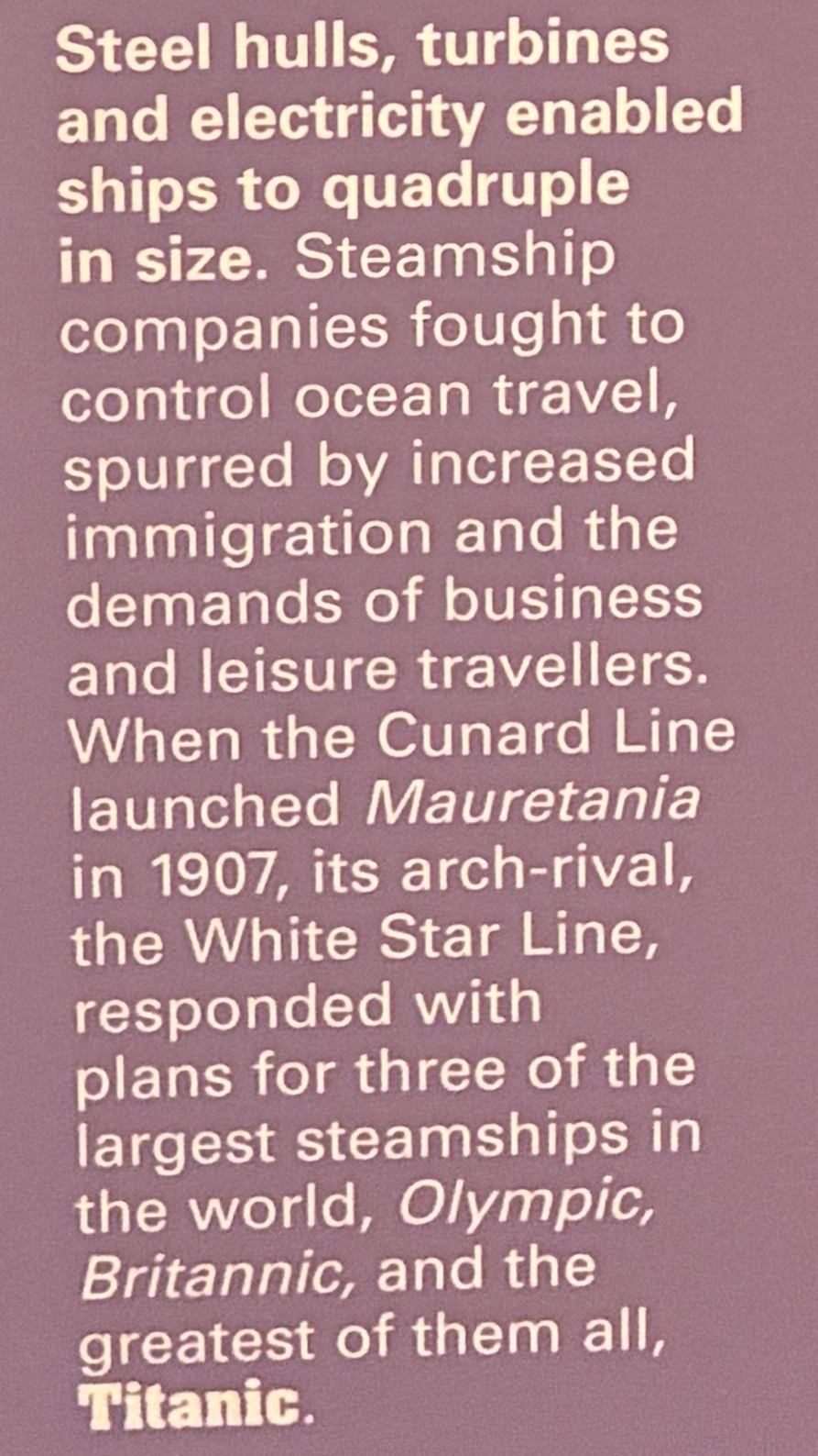
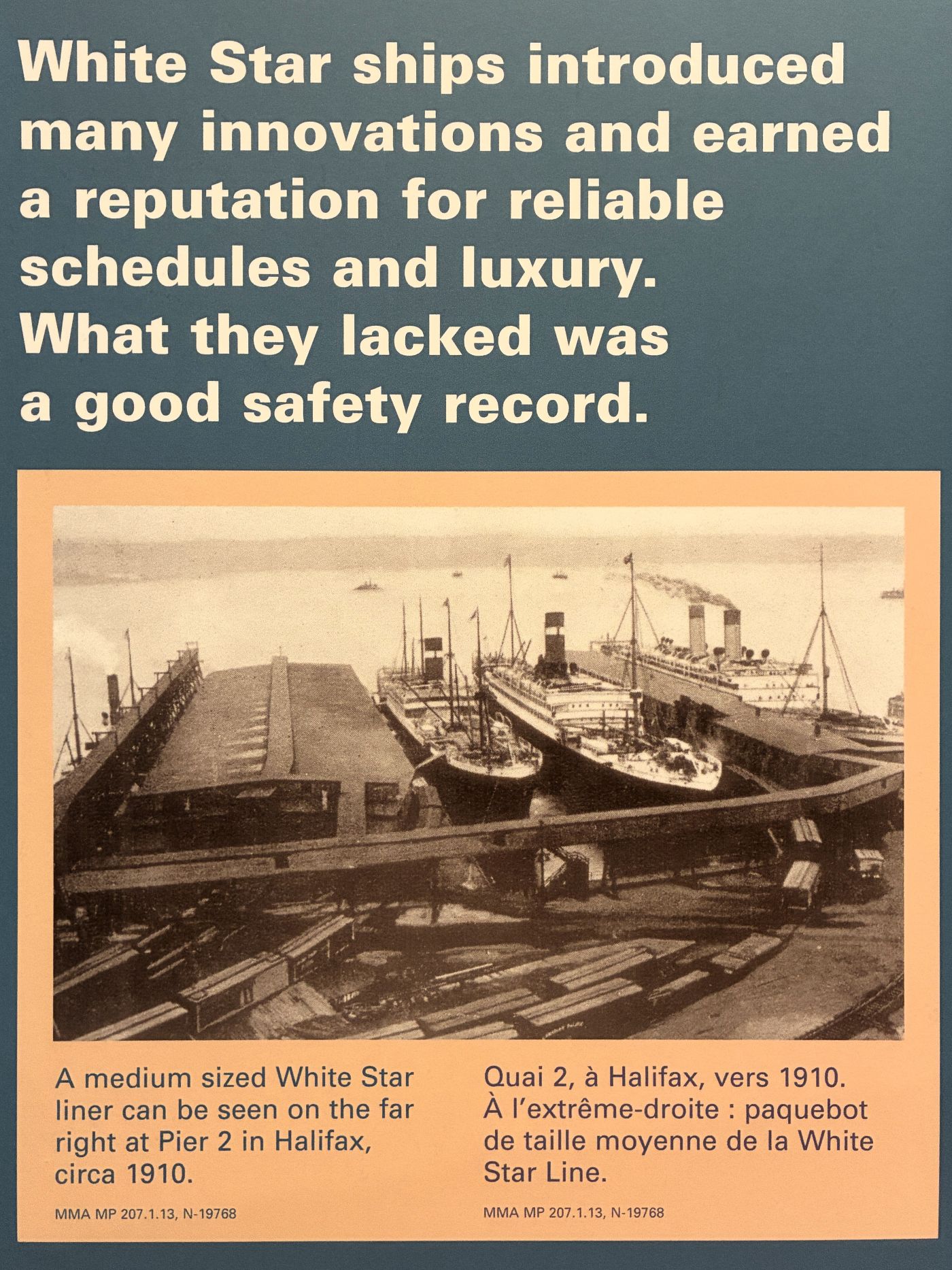
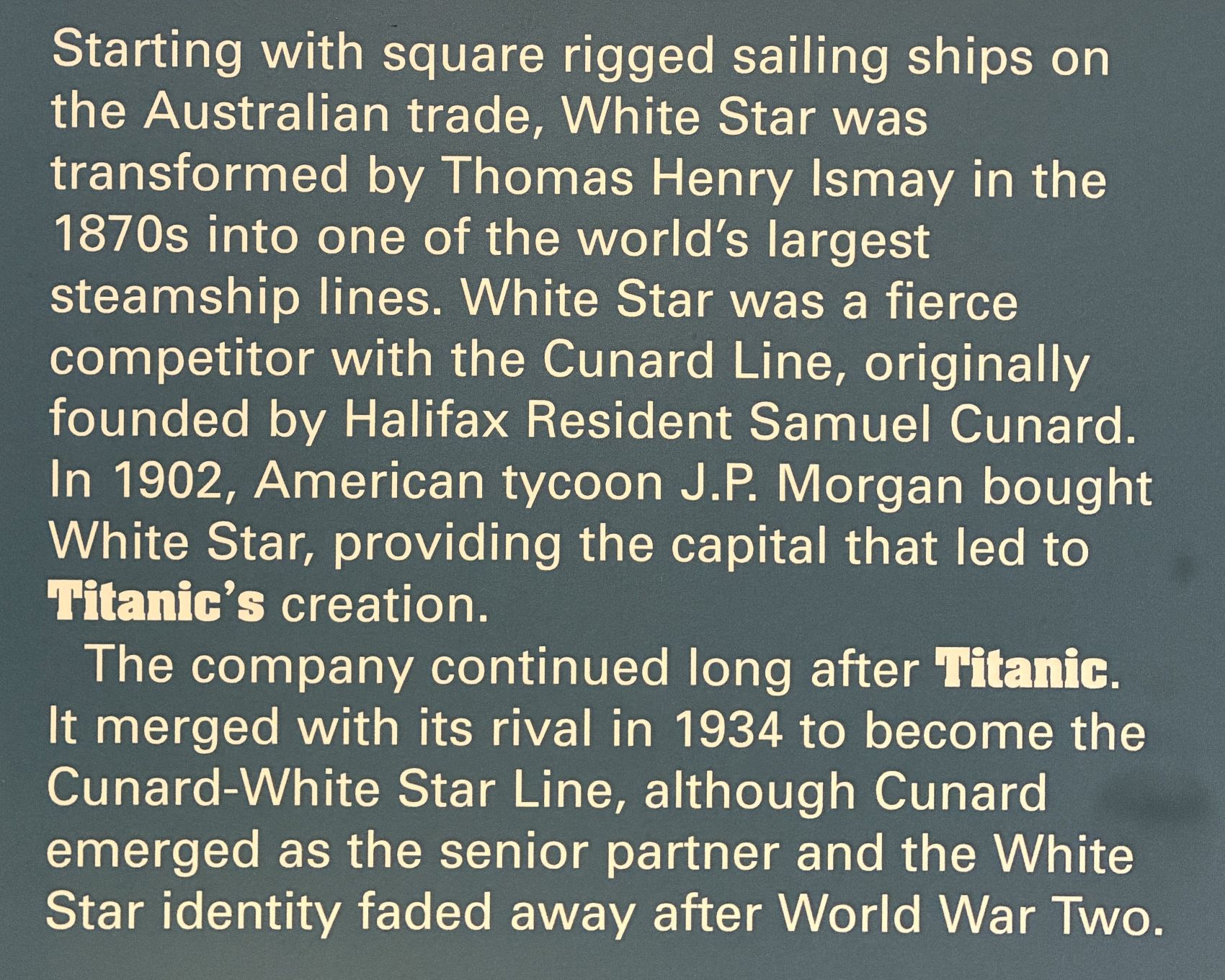
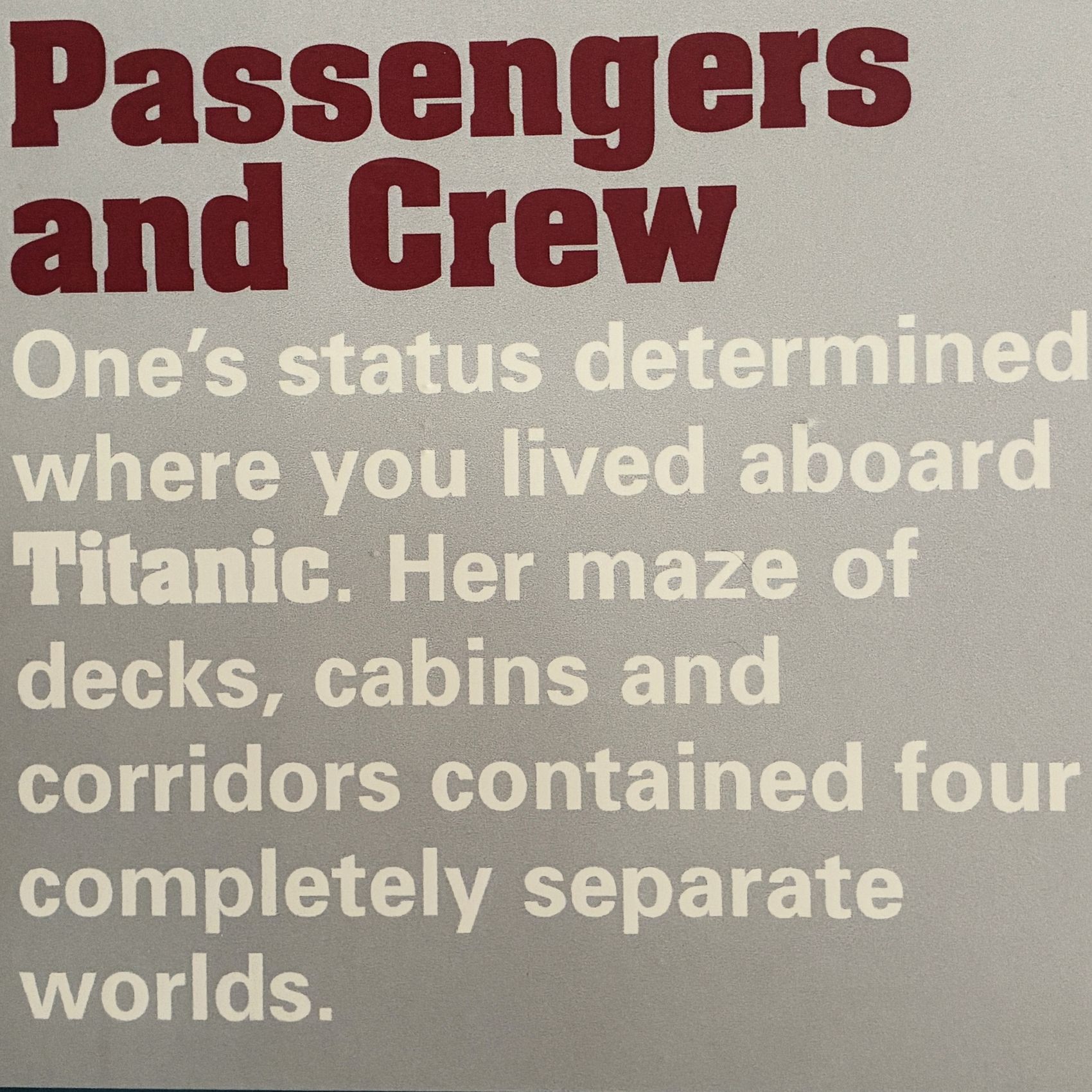
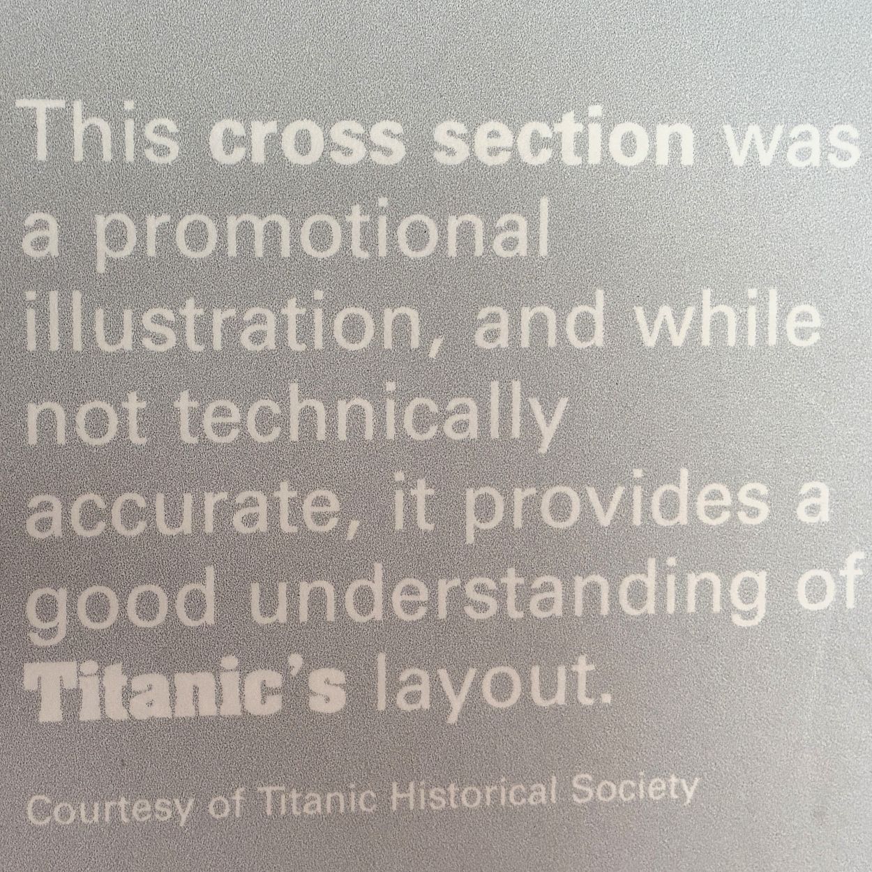
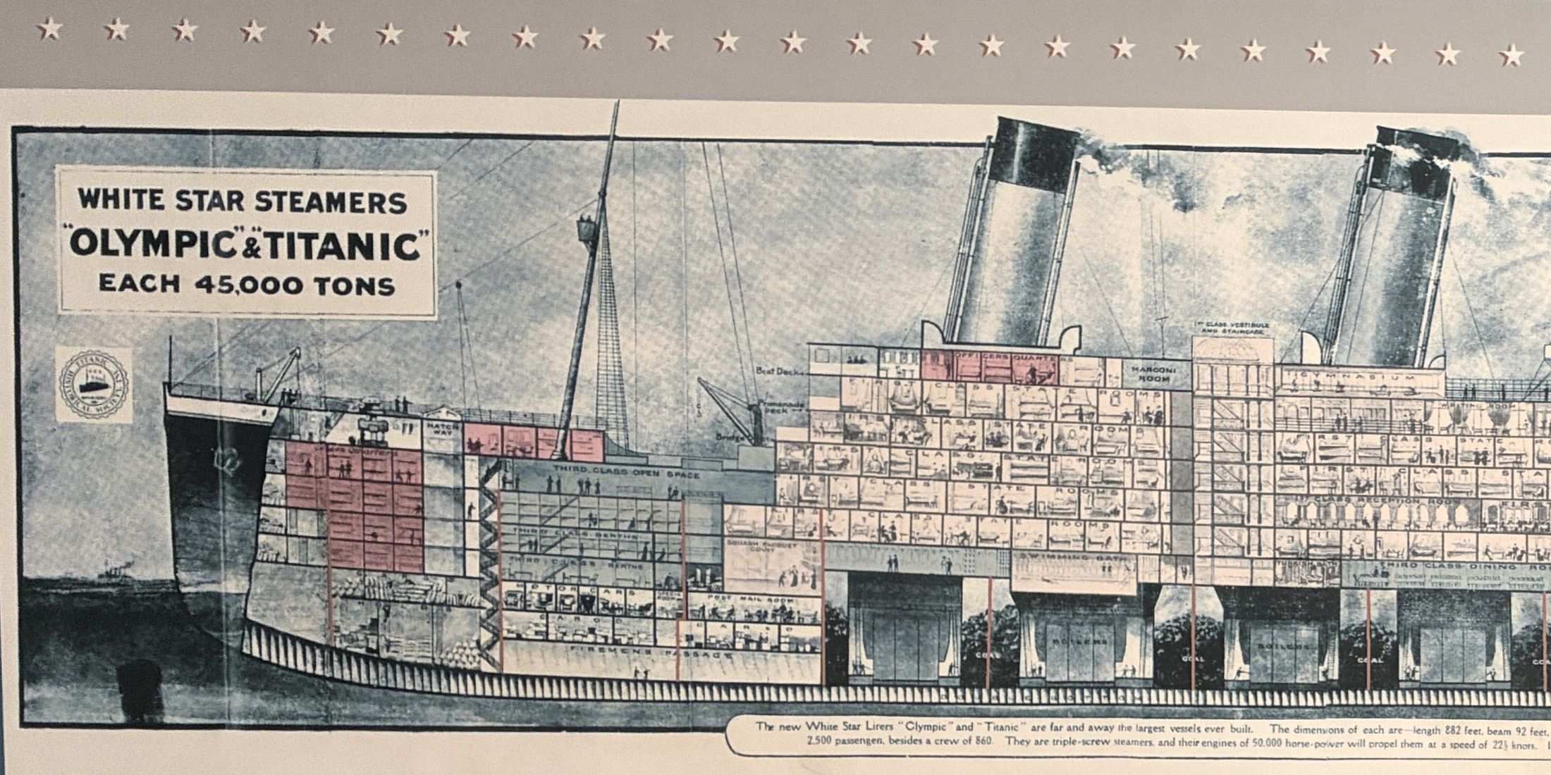
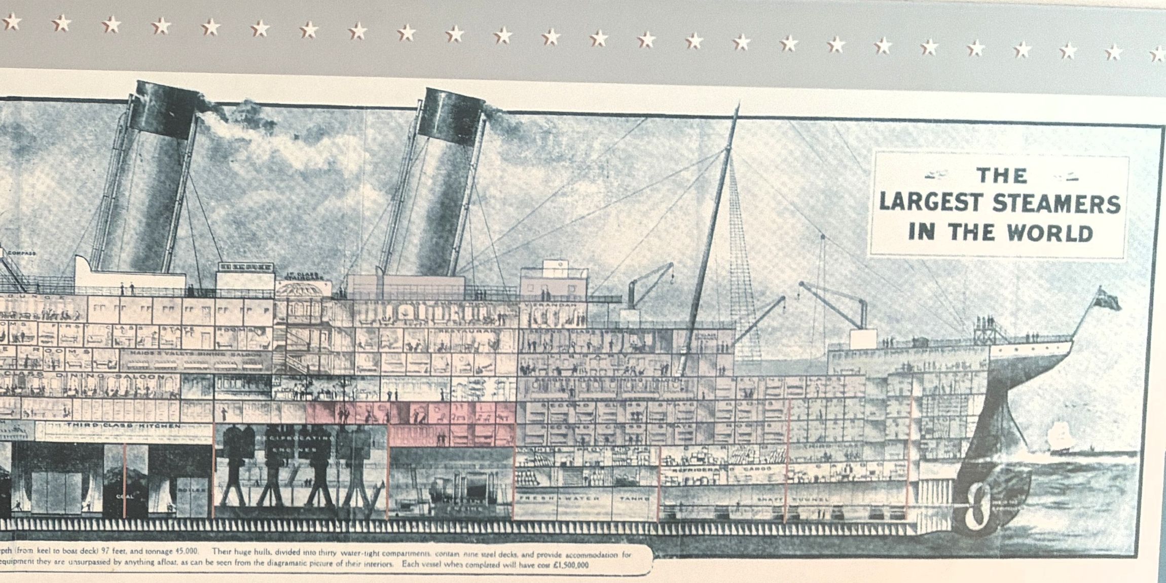
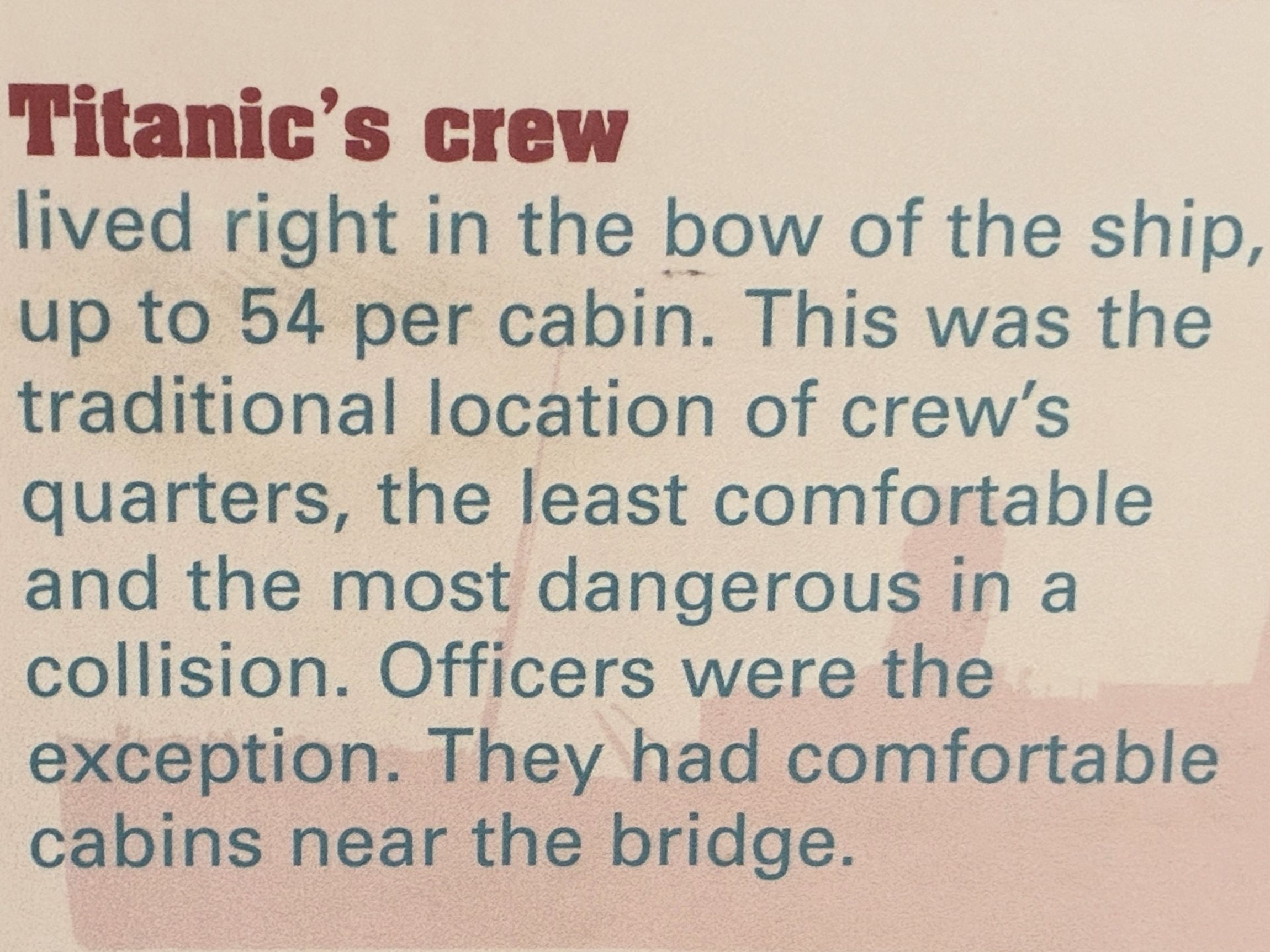
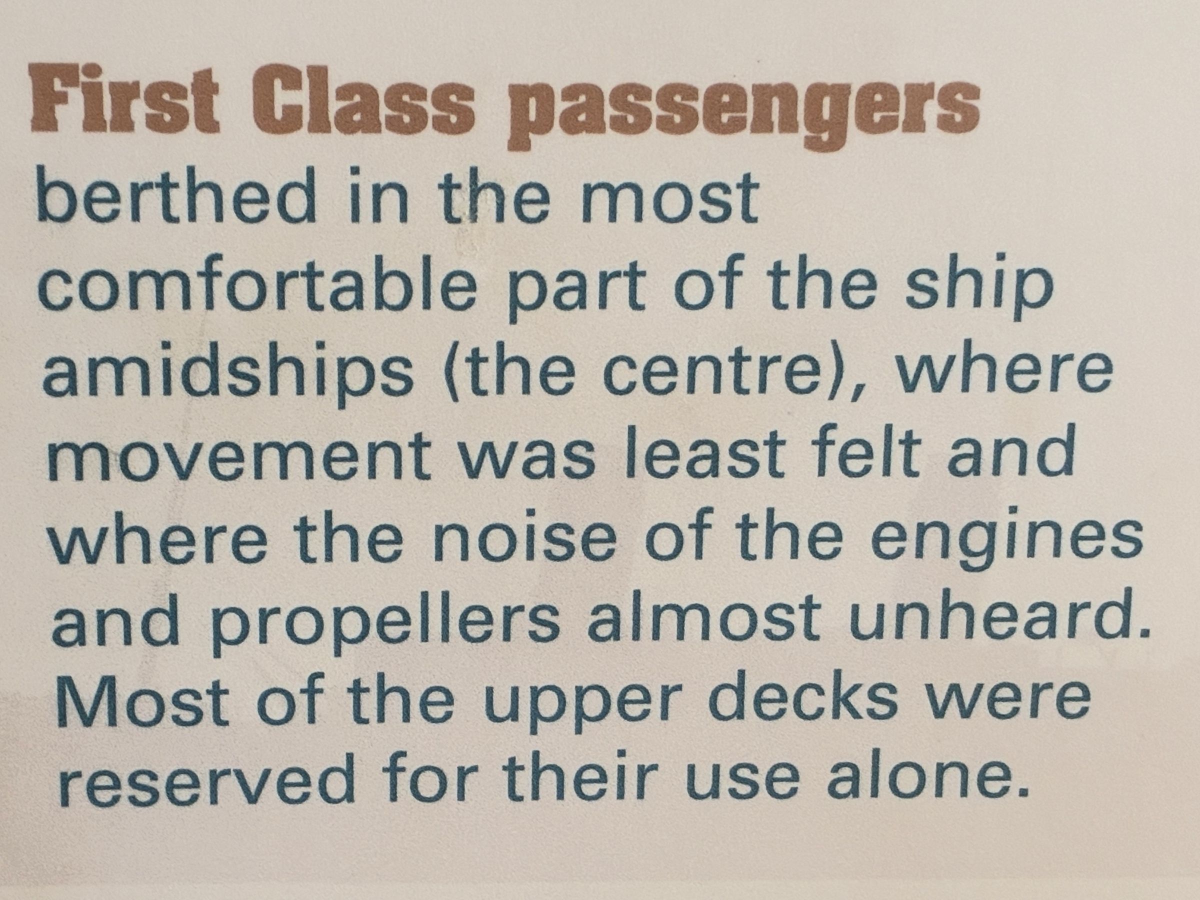
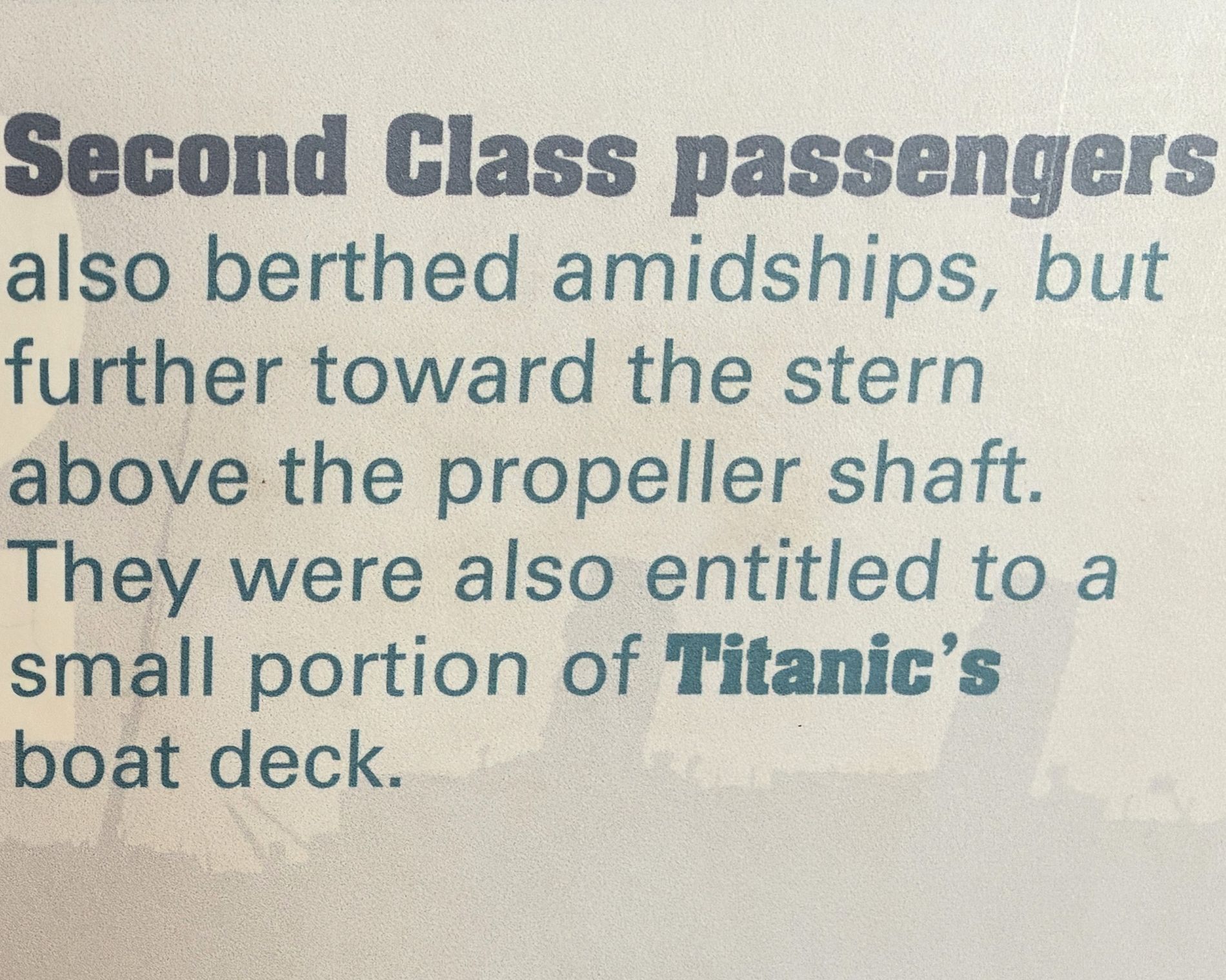
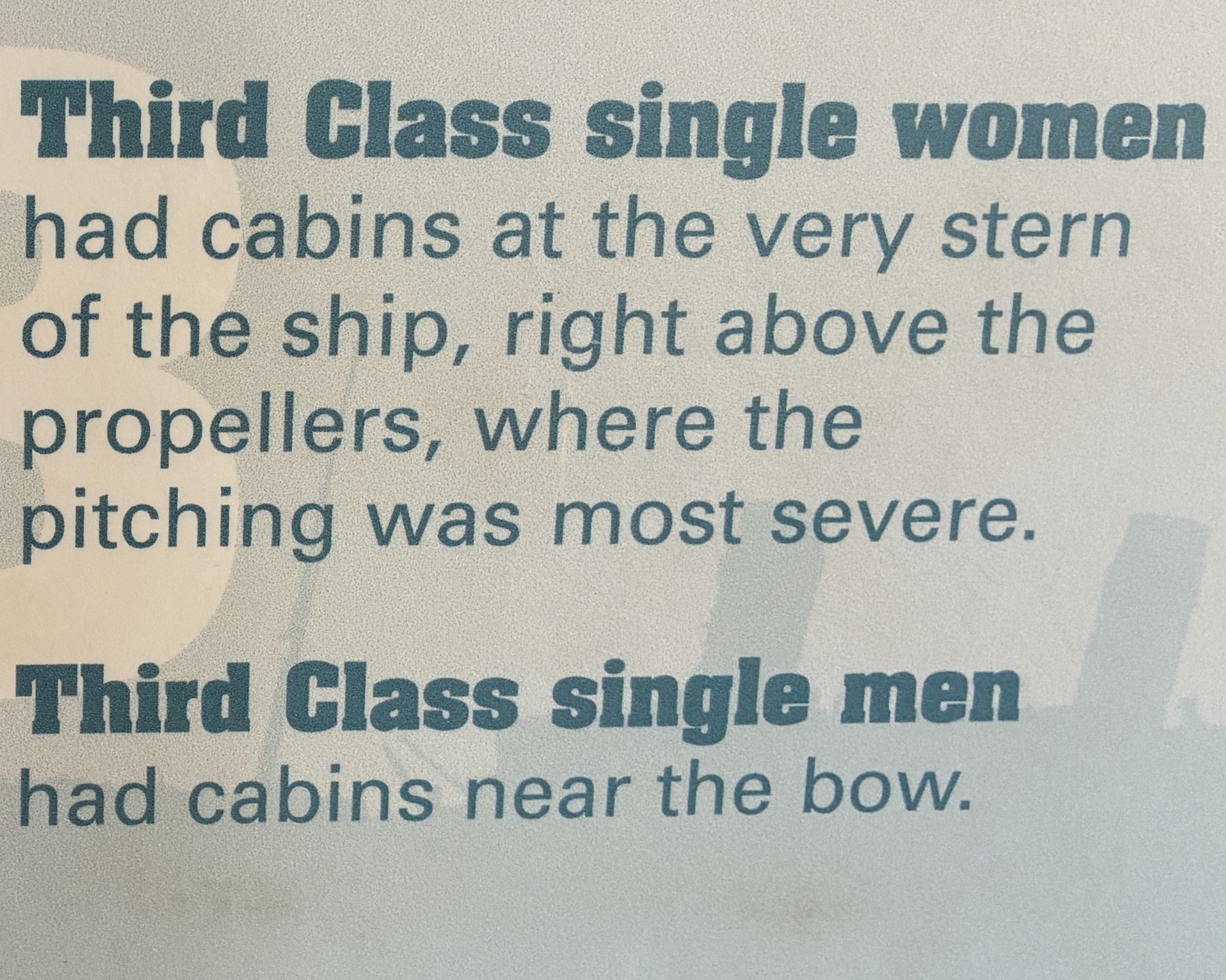
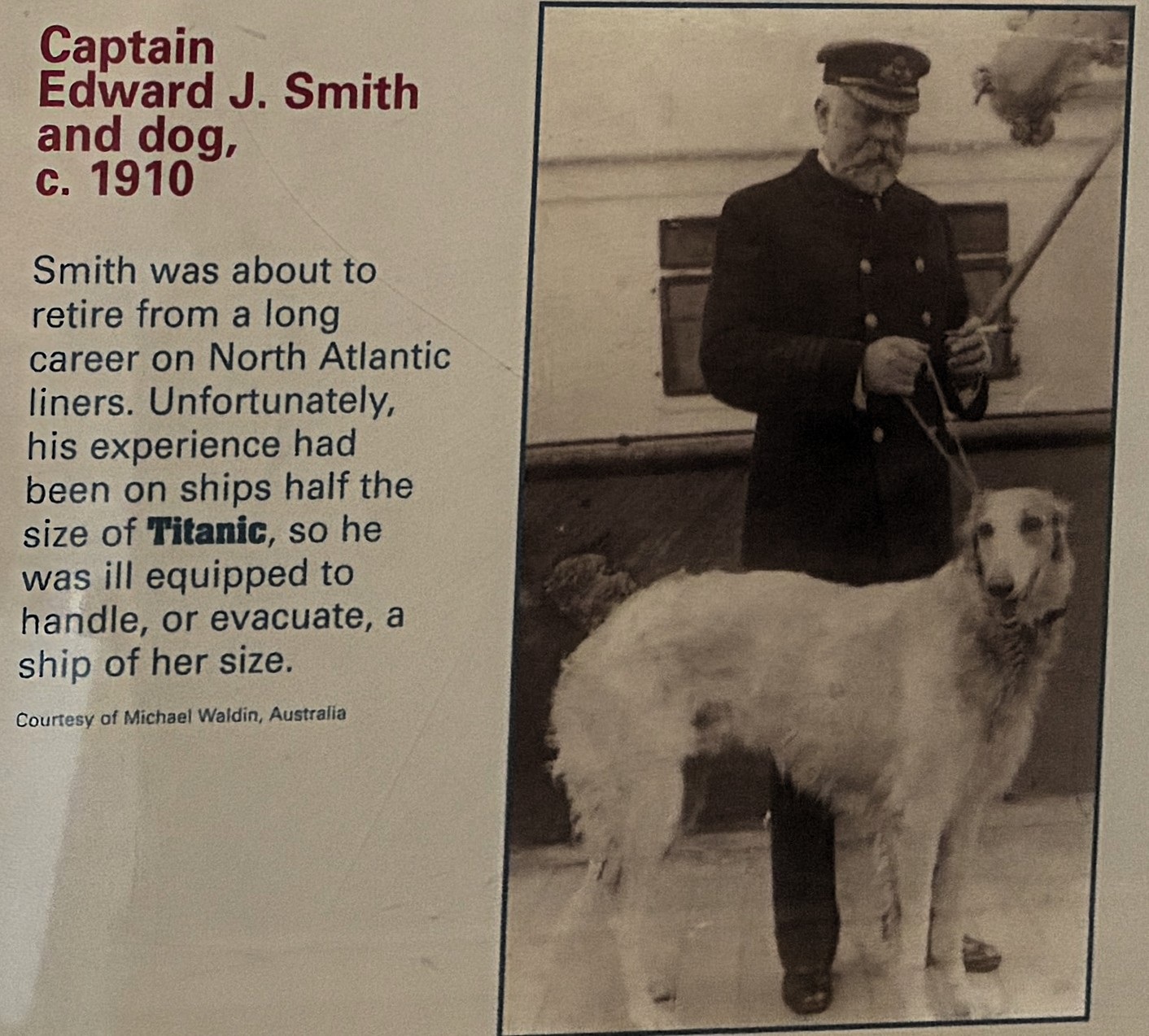
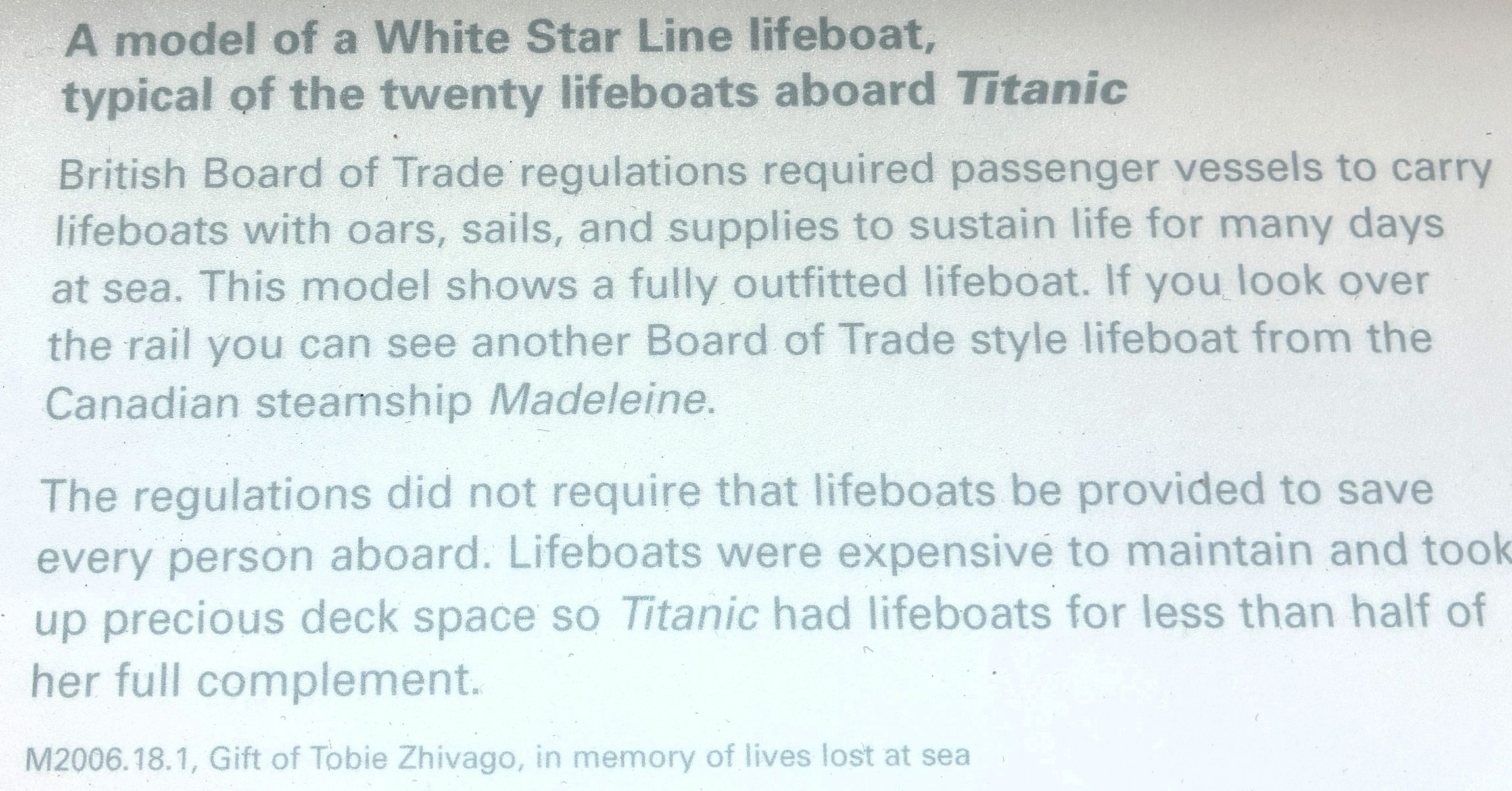
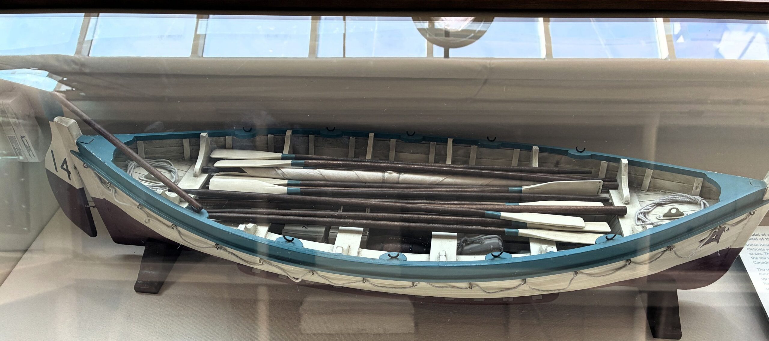
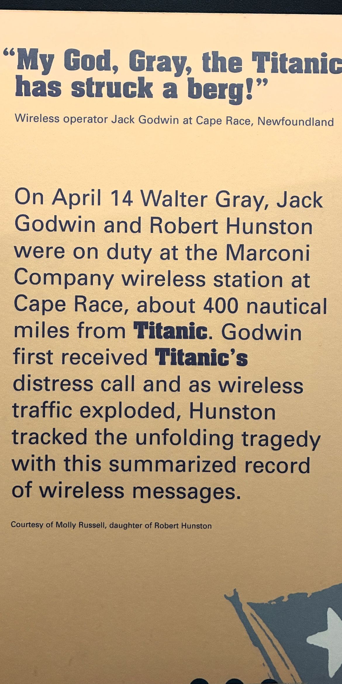
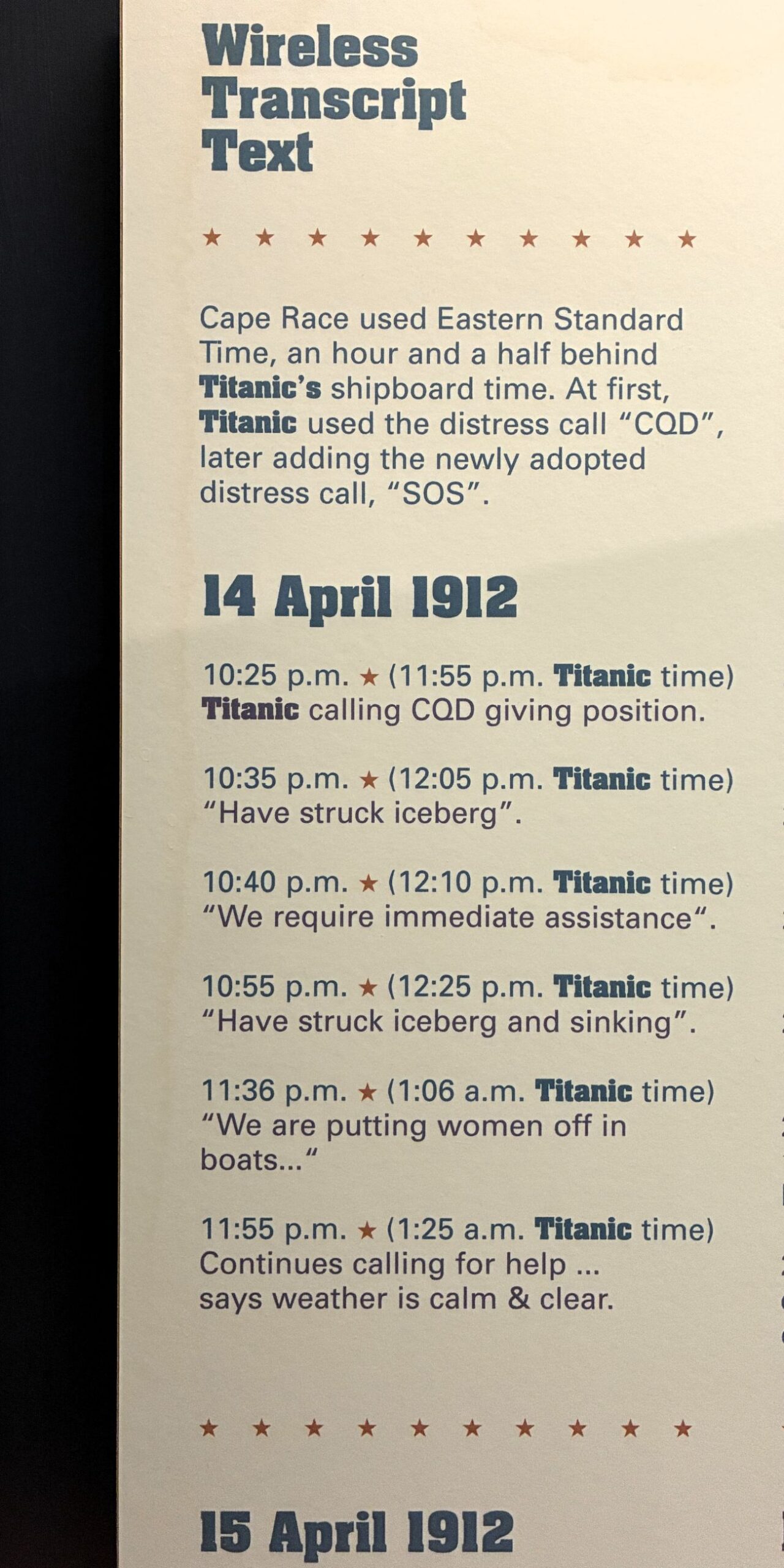
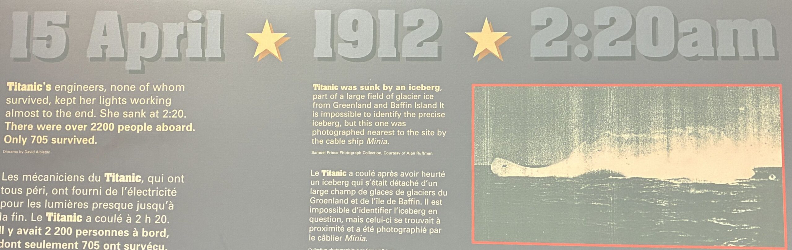
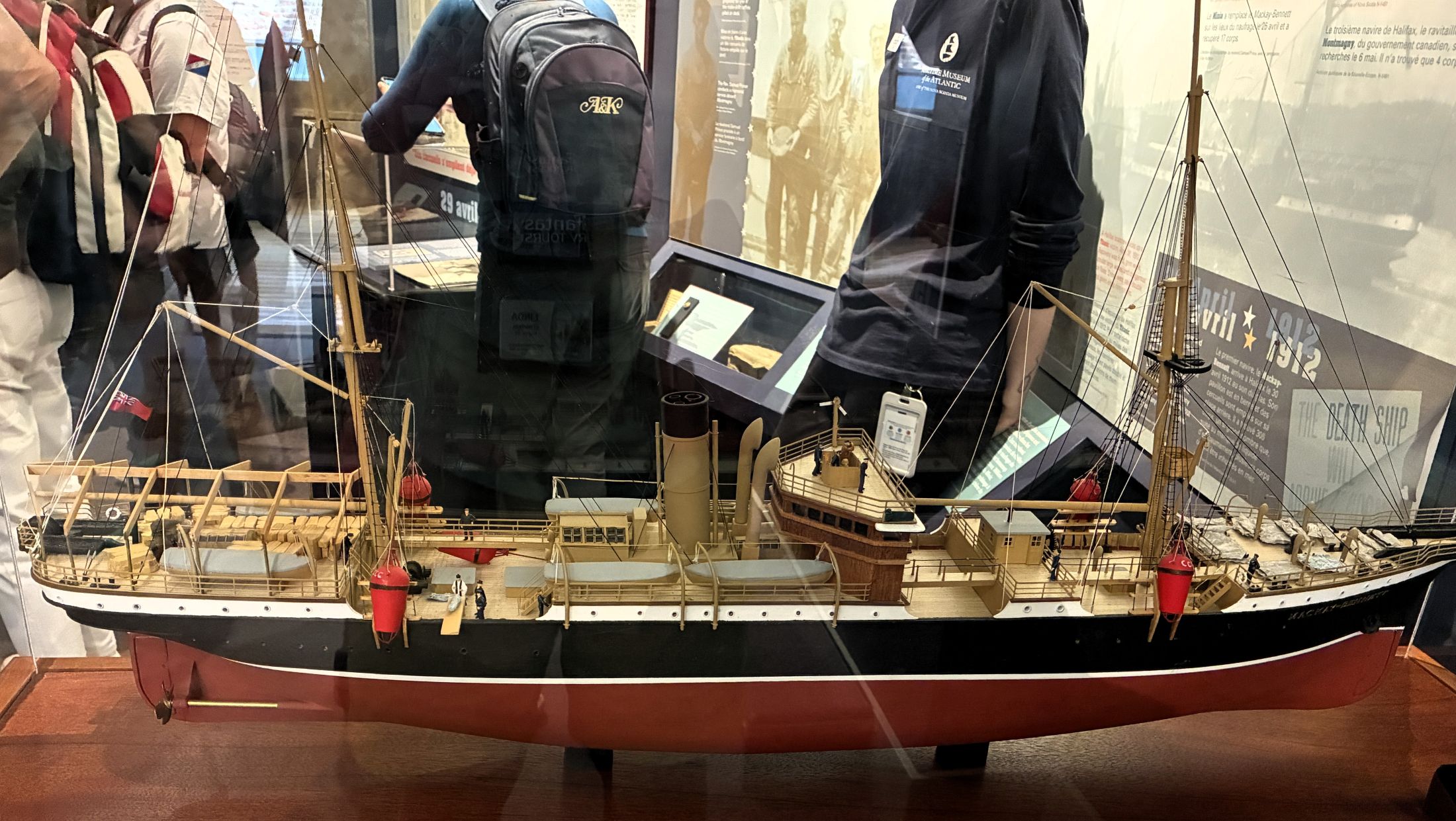
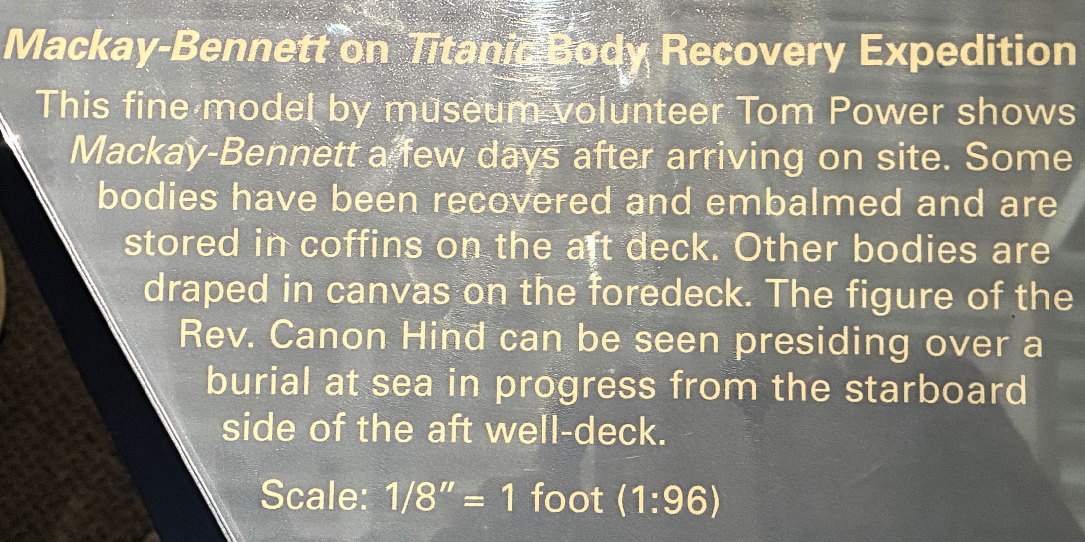
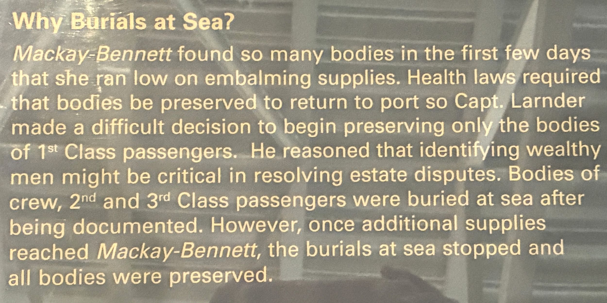
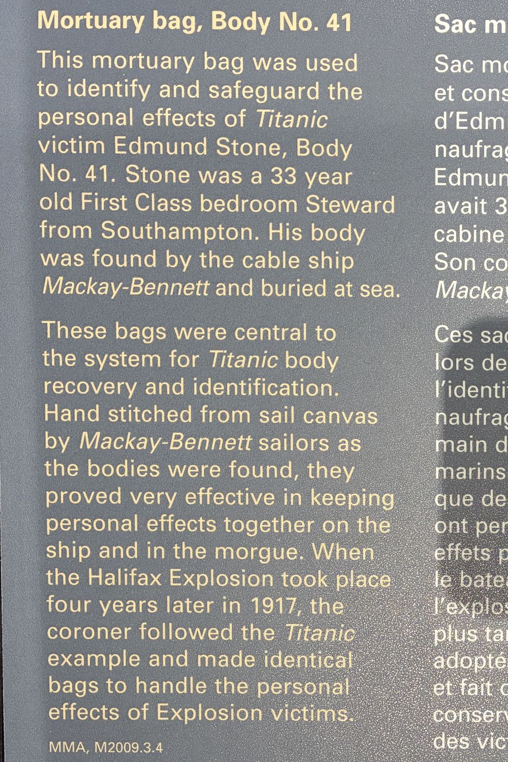
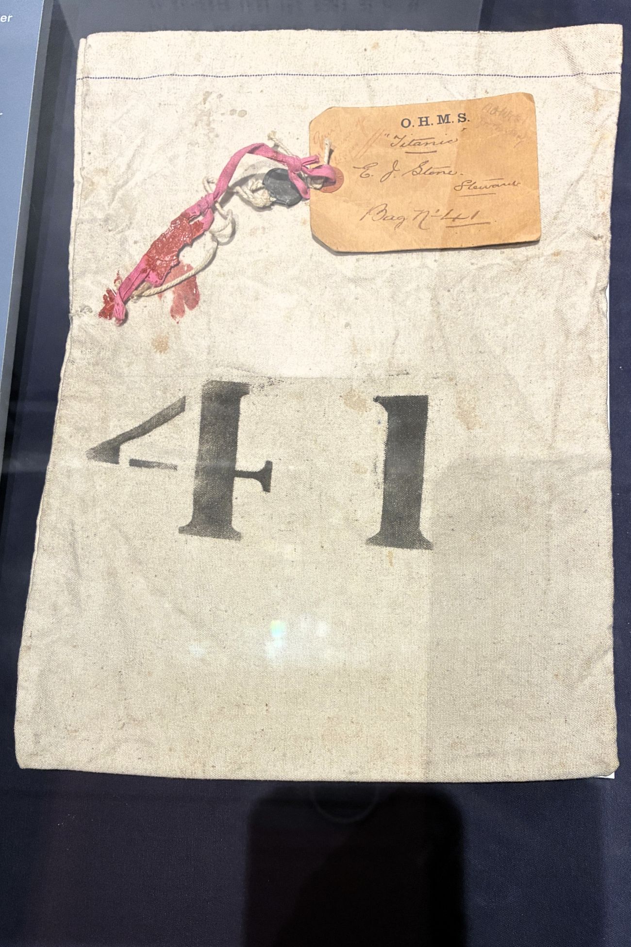
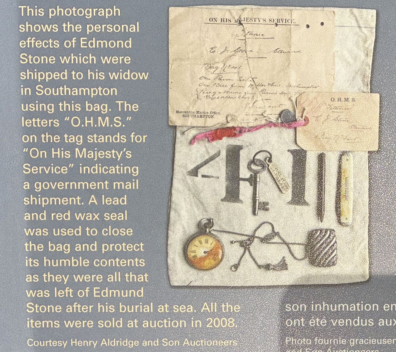
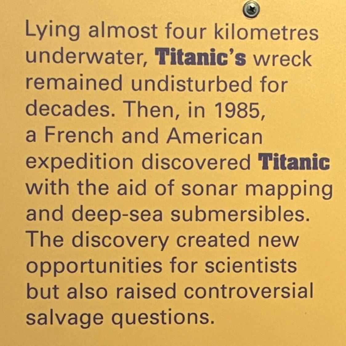
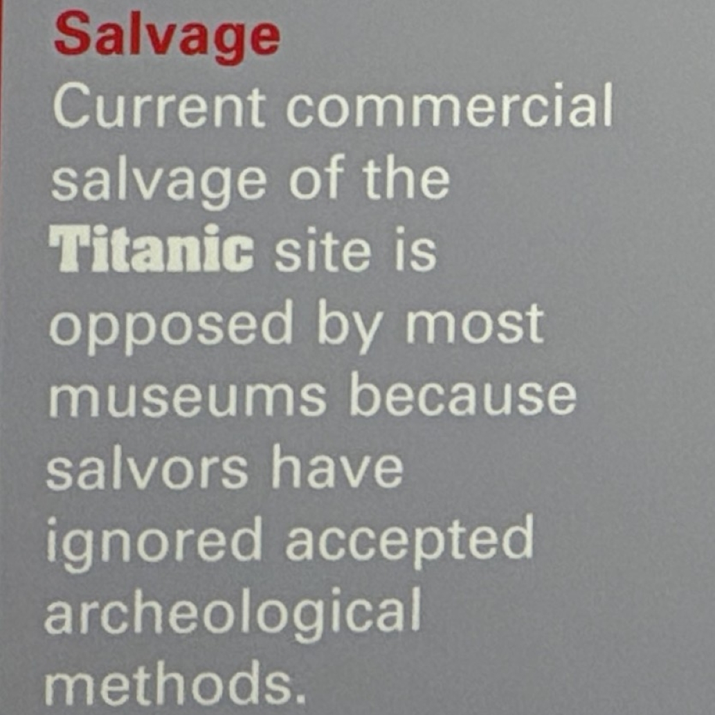
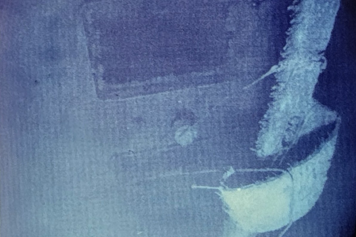
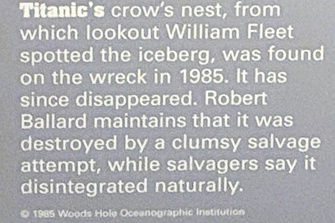
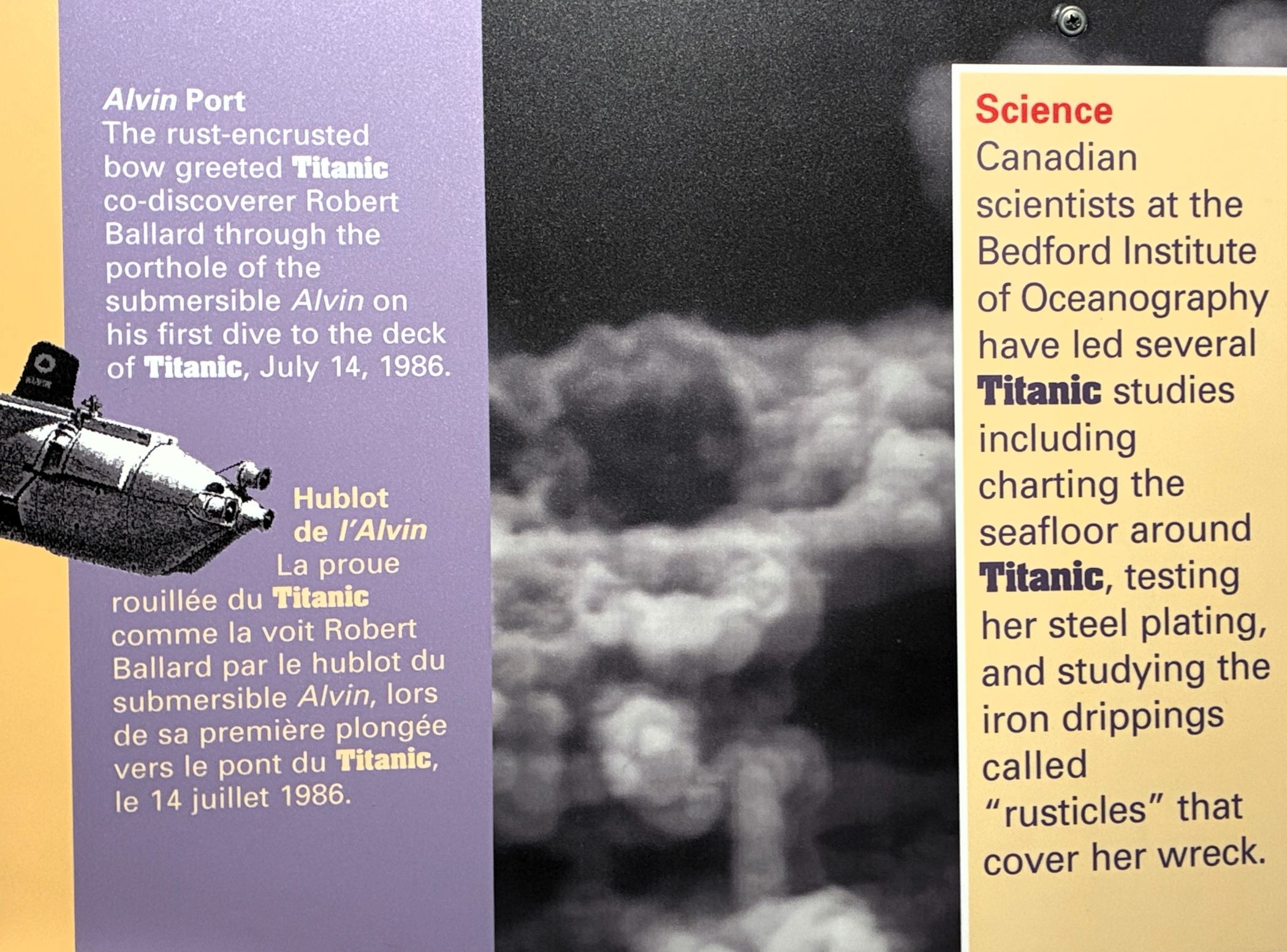
Many changes were instituted after the Titanic disaster to improve safety and save lives aboard ships.
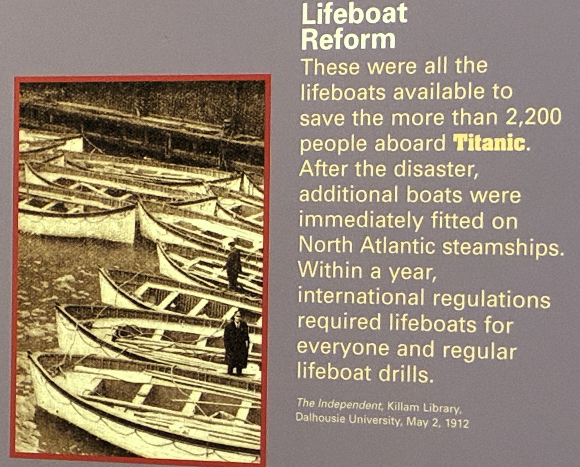
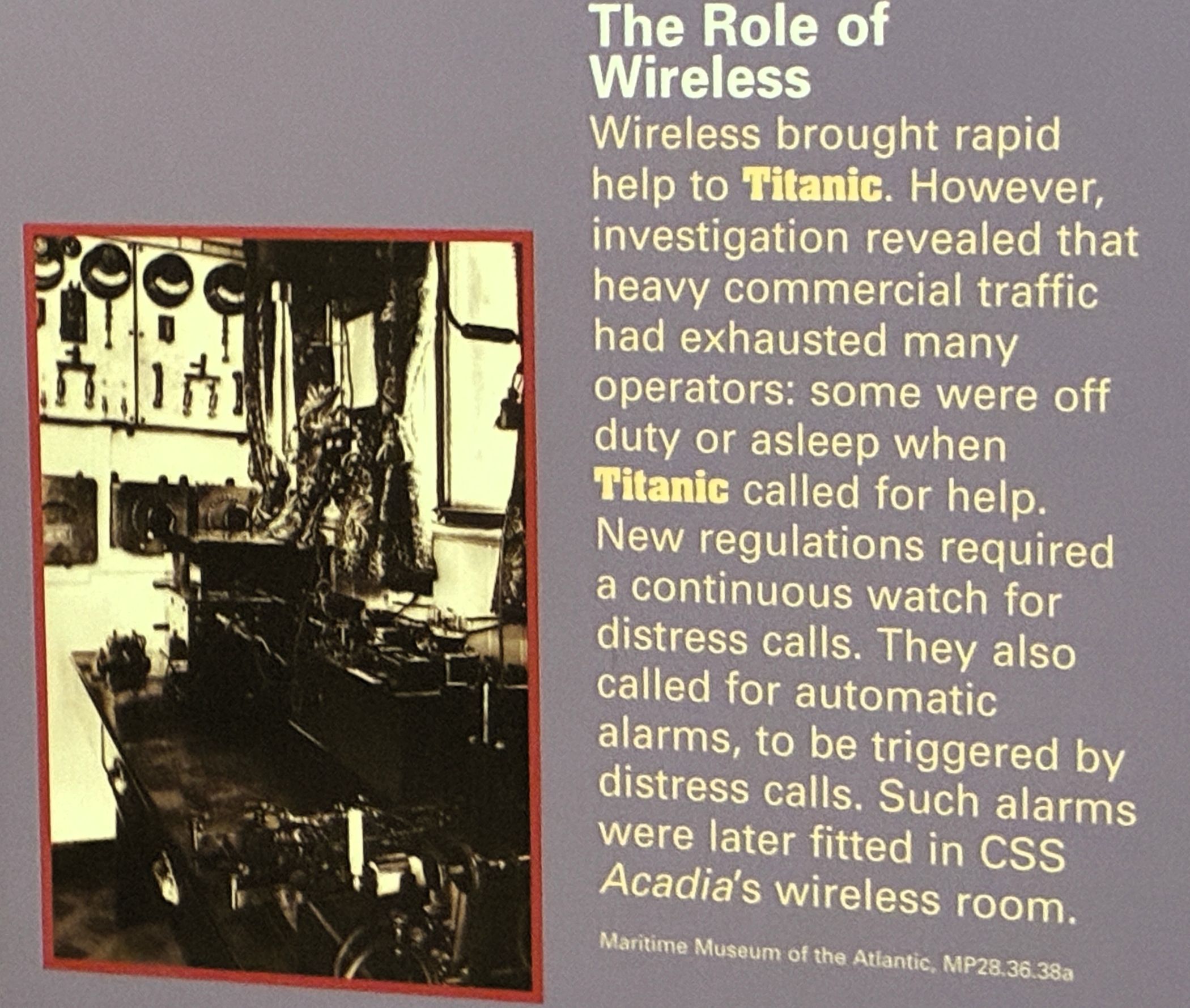
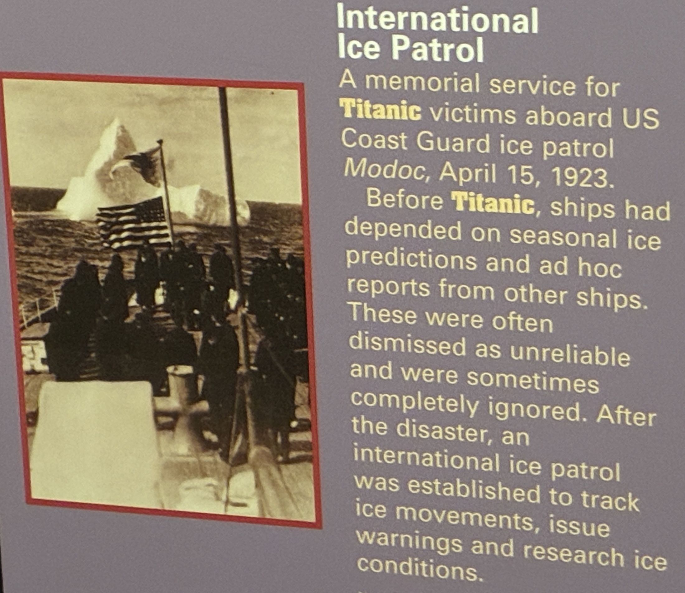
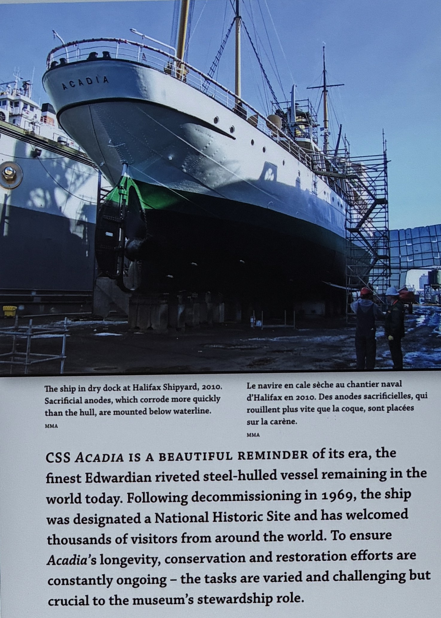
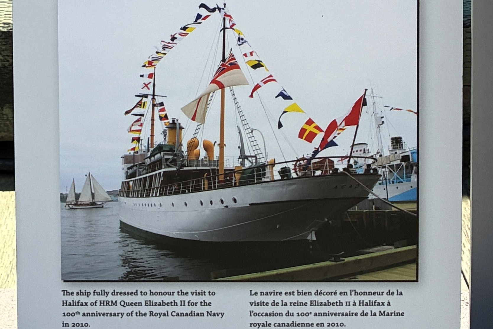
Here is a model of CGS Acadia on her first mission to Canada’s northern waters in 1913.
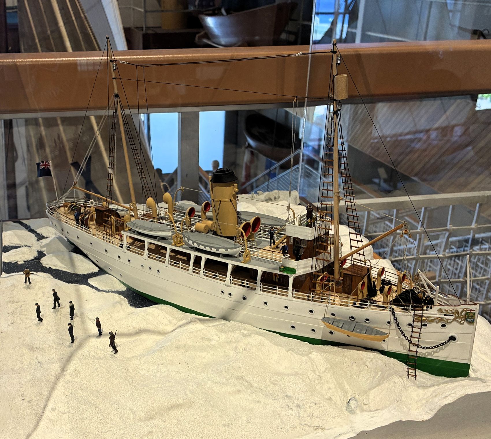
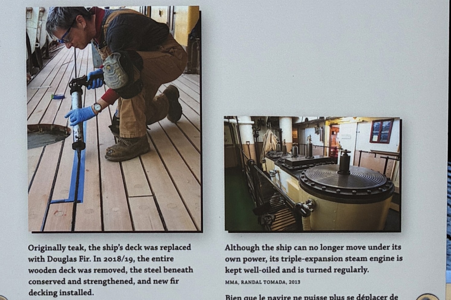
We had the opportunity to board the Acadia as it is part of the museum.
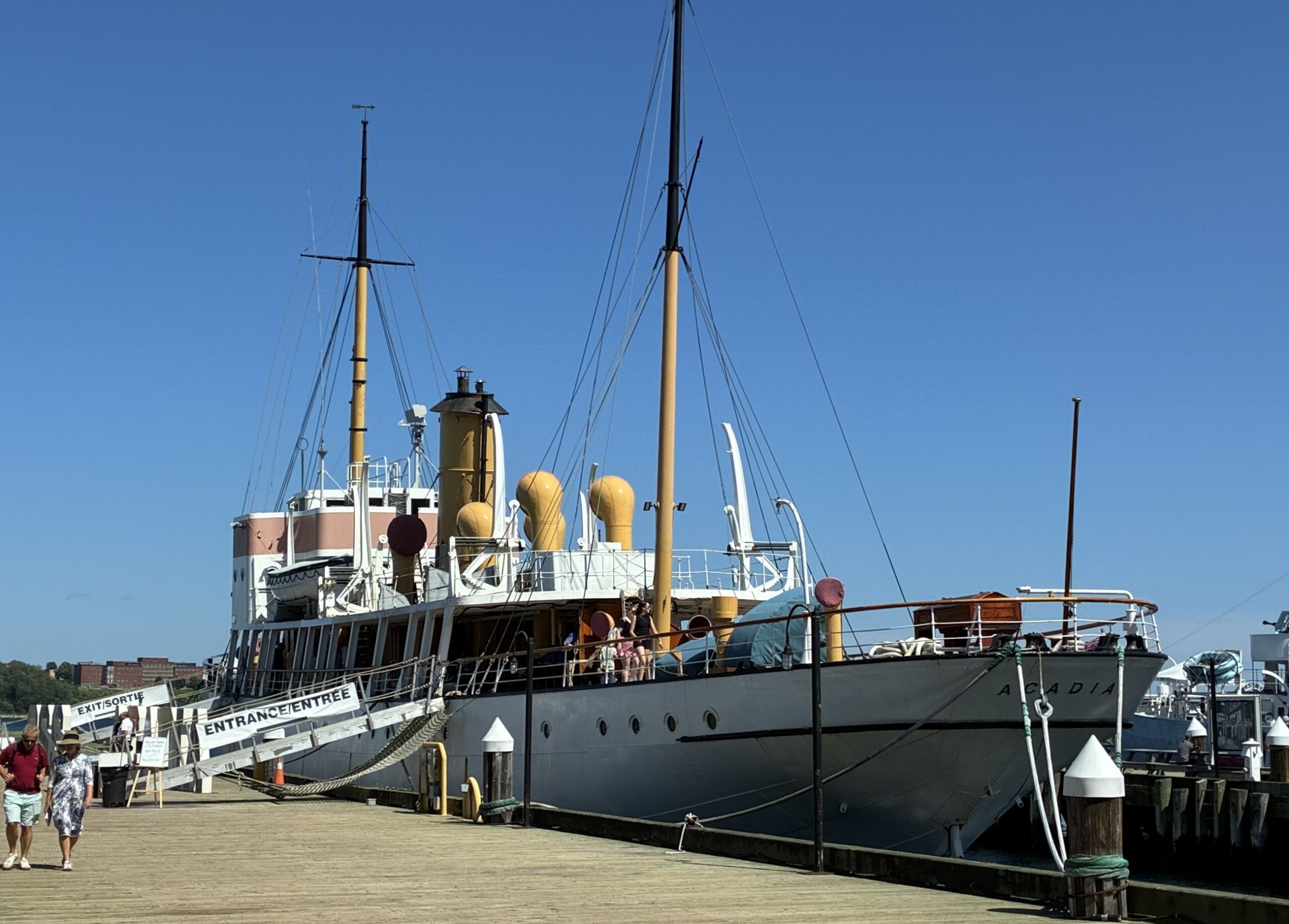
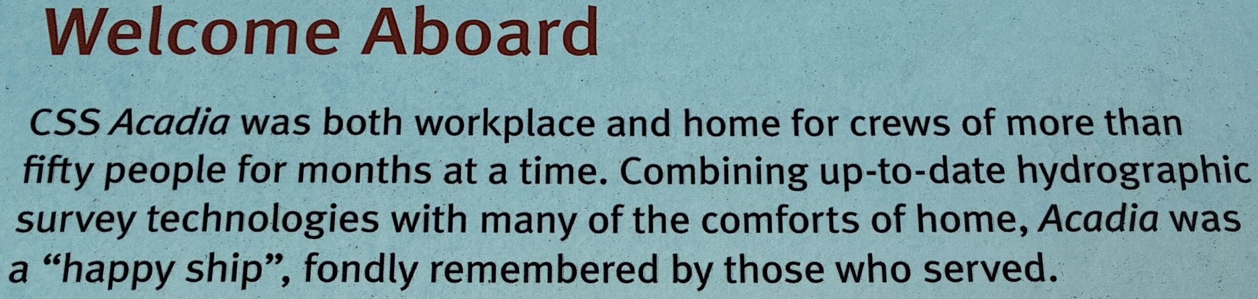
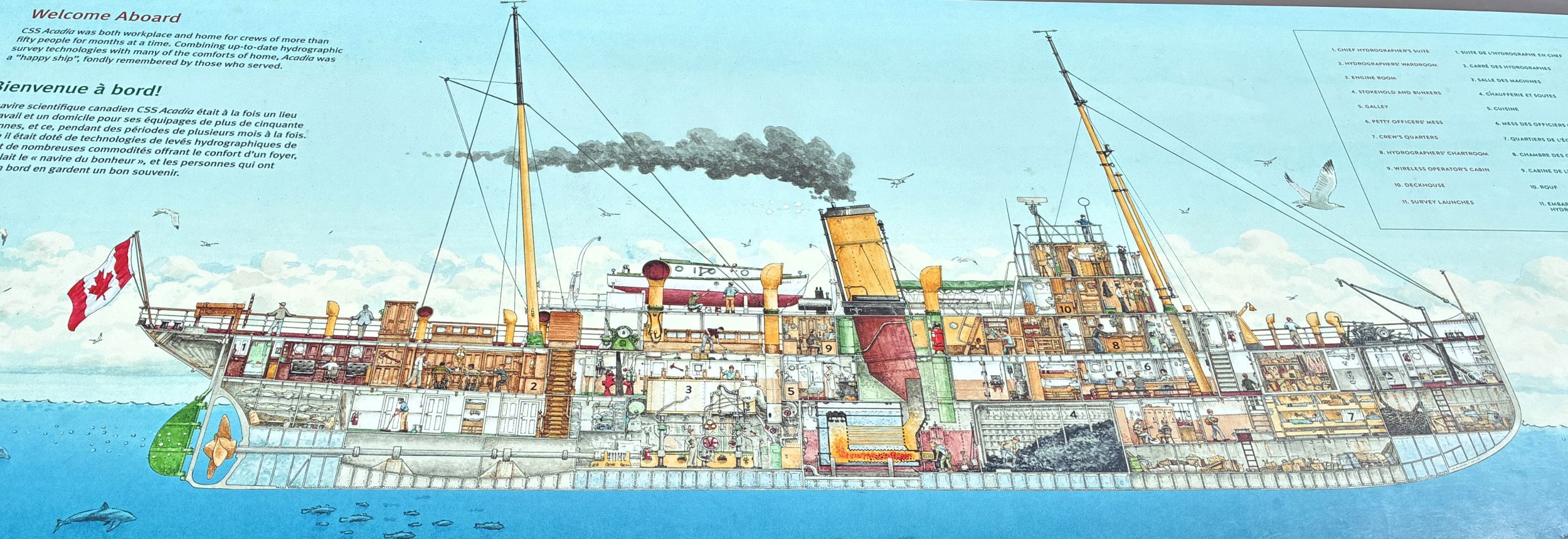
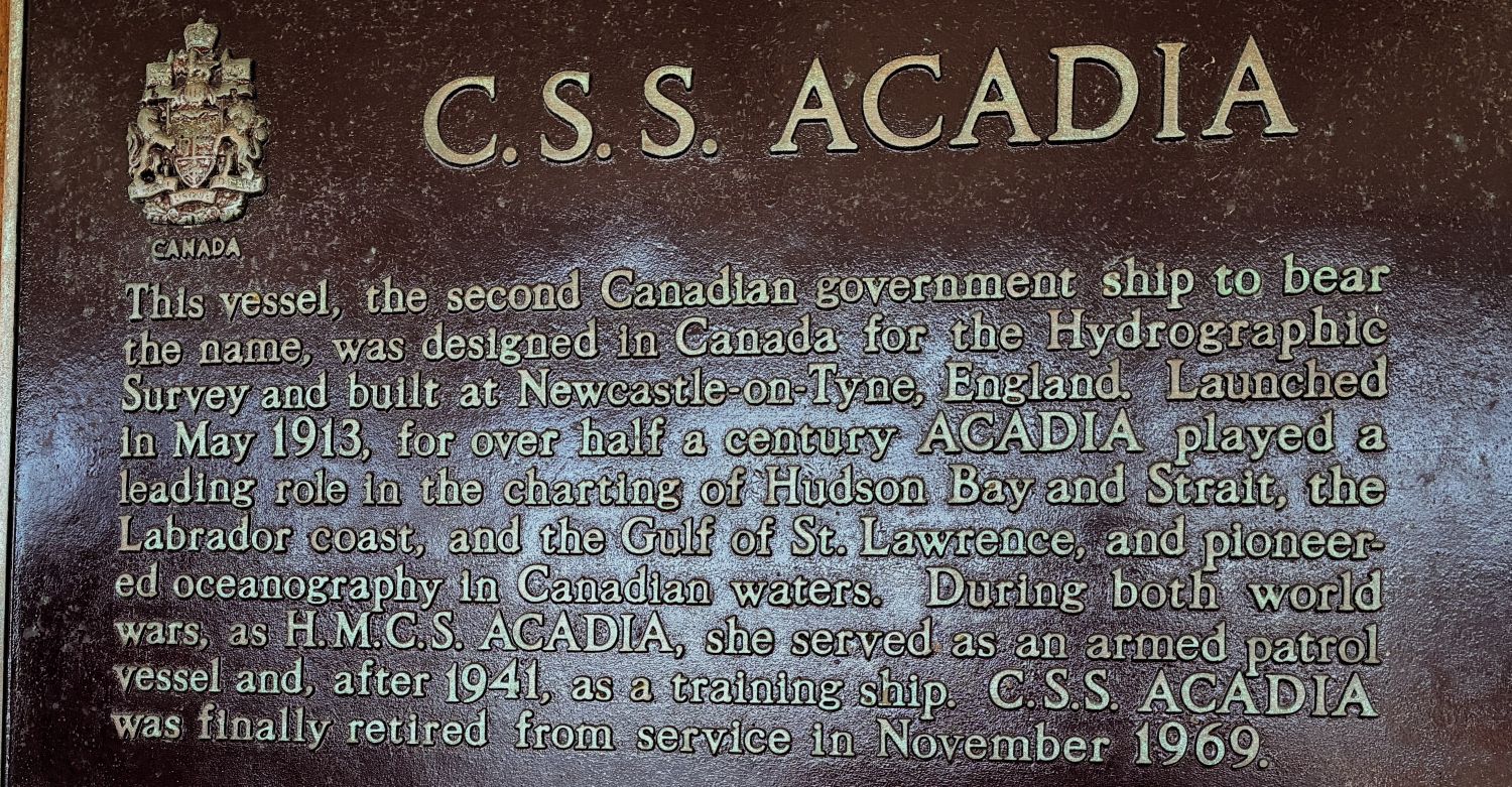
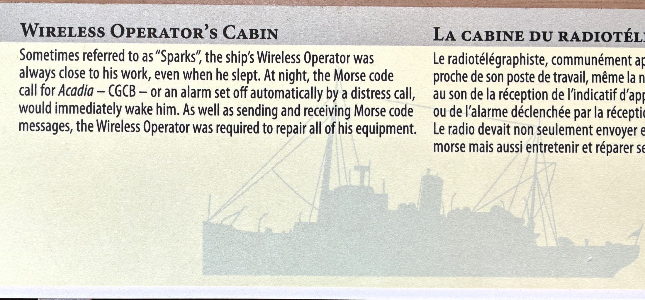
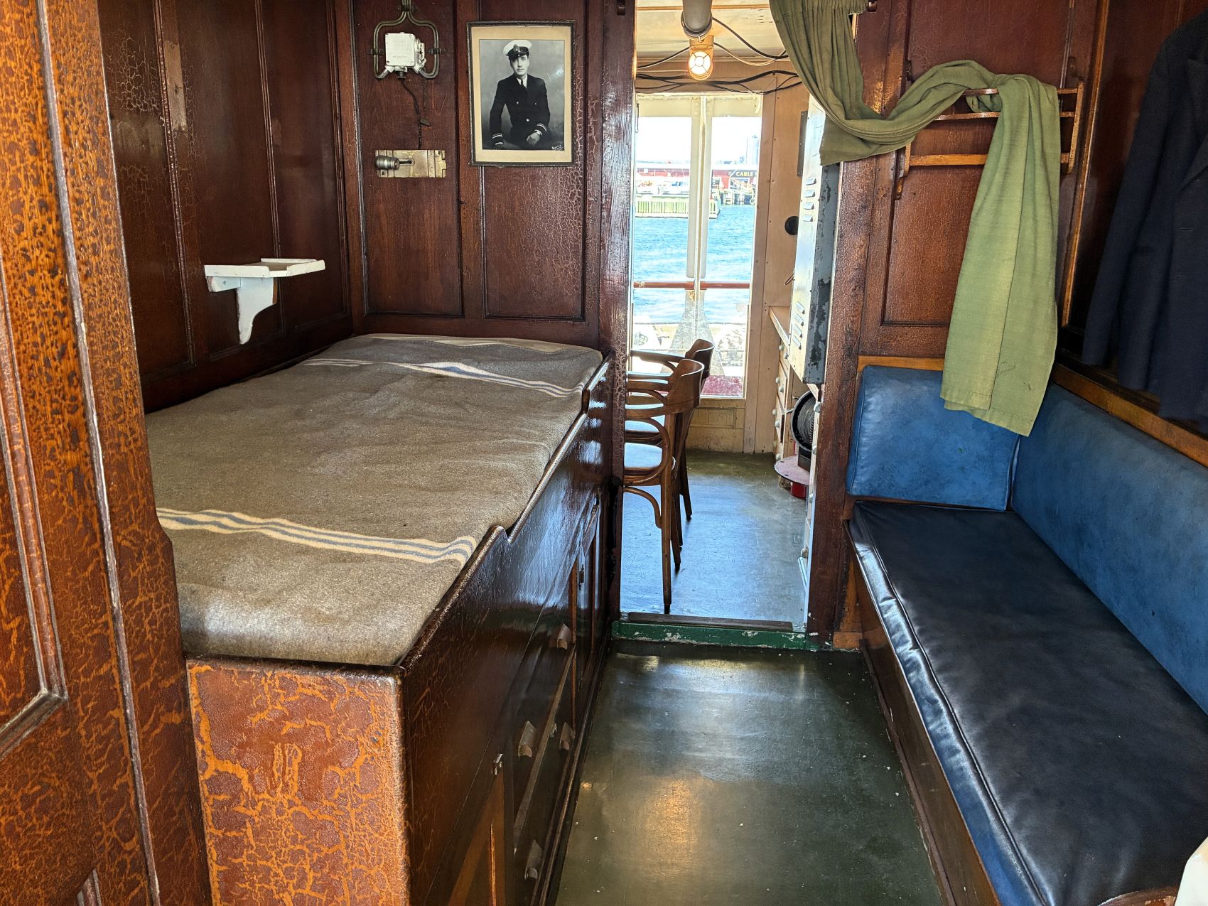
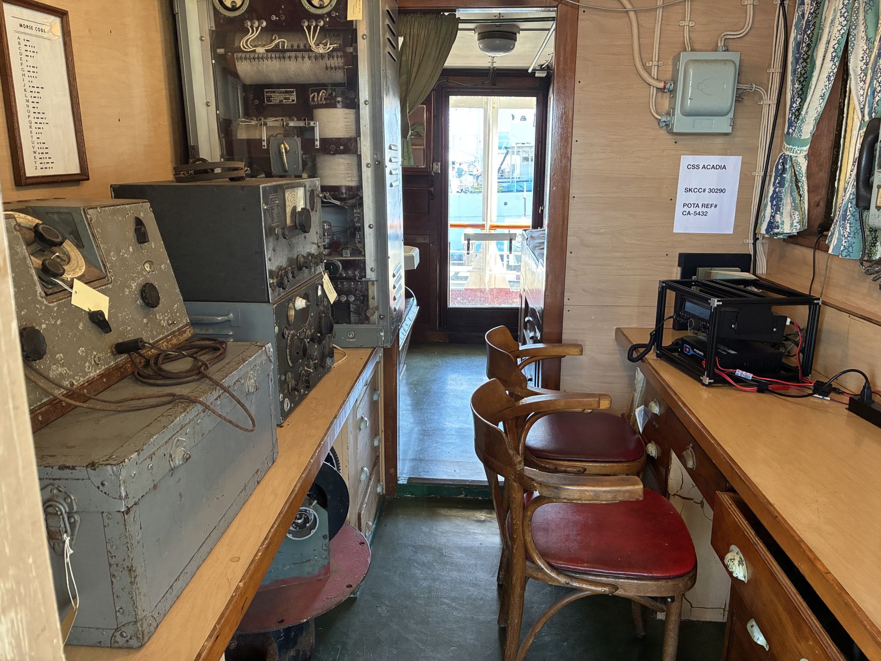
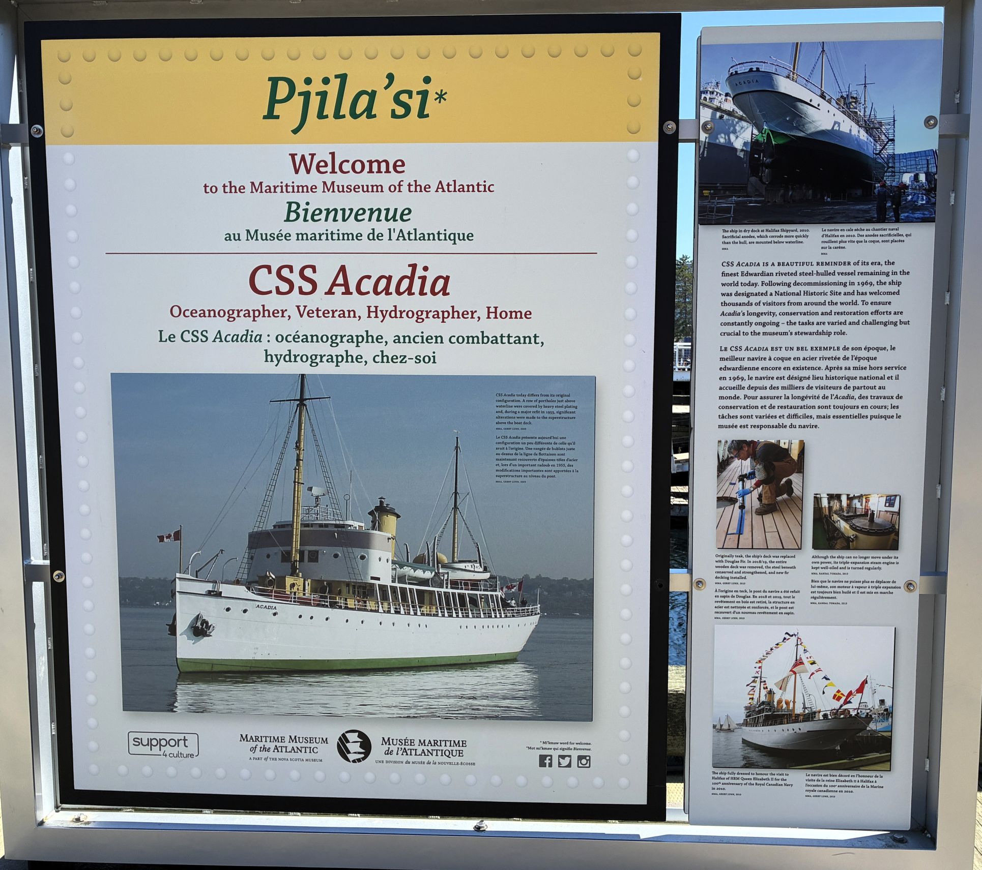
Enlarged from above sign…
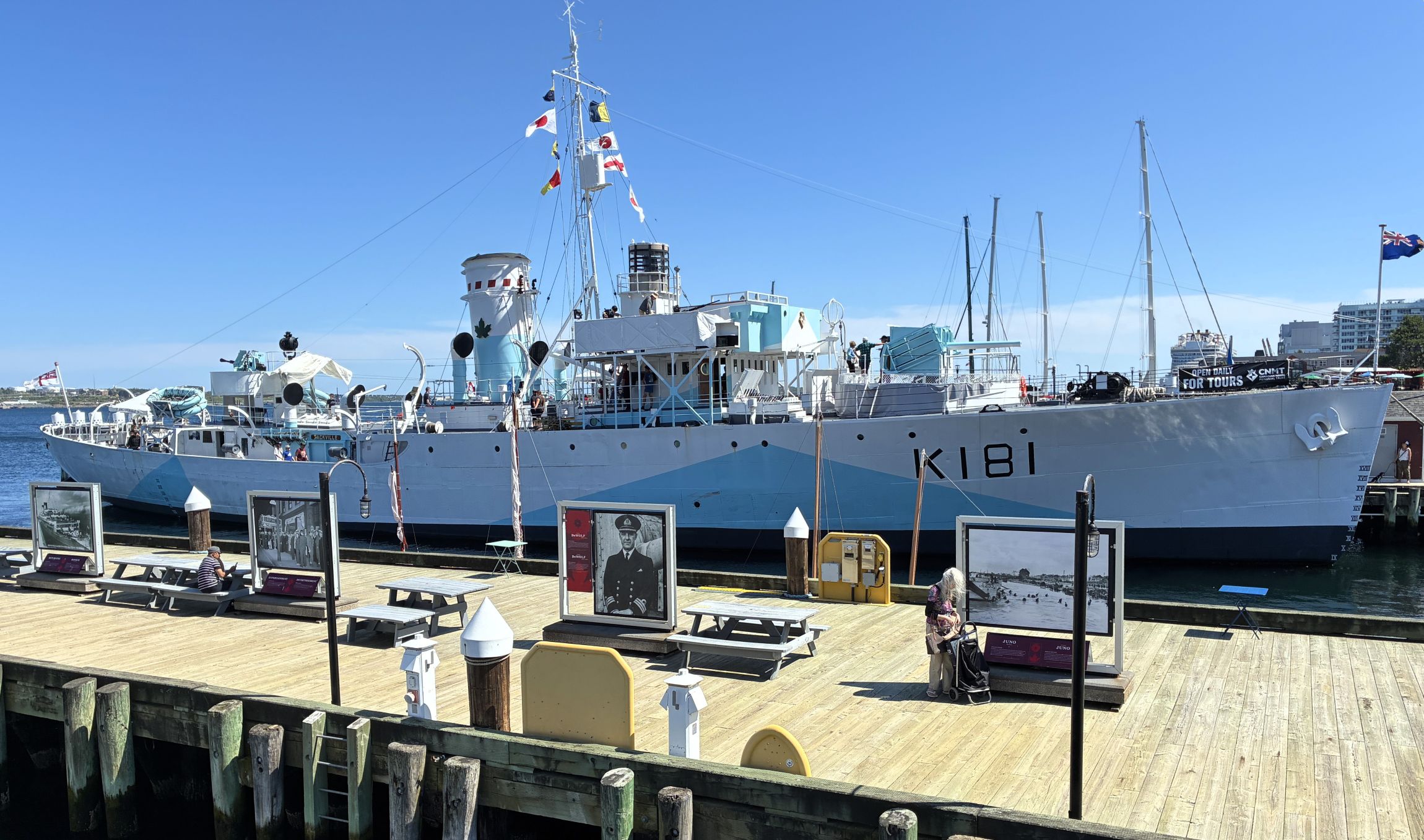
The HMCS Sackville was also part of the museum, but we did not have time to visit it. You can read about it here.
Wow – that was a lot to take in on ONE day!
On August 5th we left Hammonds Plains at 9:10am with 113,366.9 miles on Acey and 145,440 on Thor. It was a beautiful day for traveling on the Trans-Canada Highway.
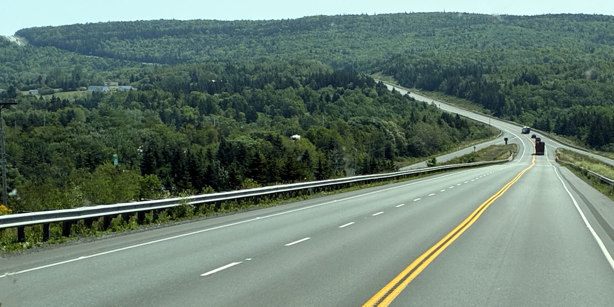
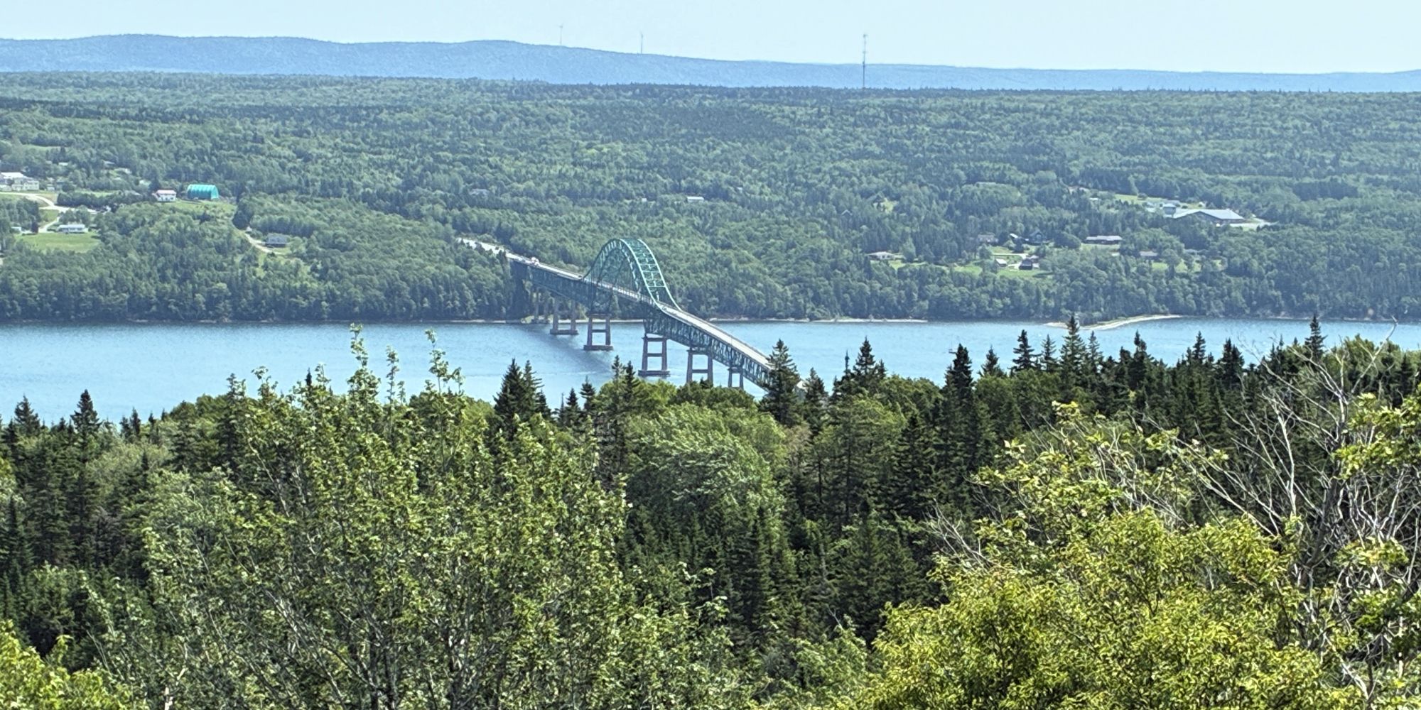
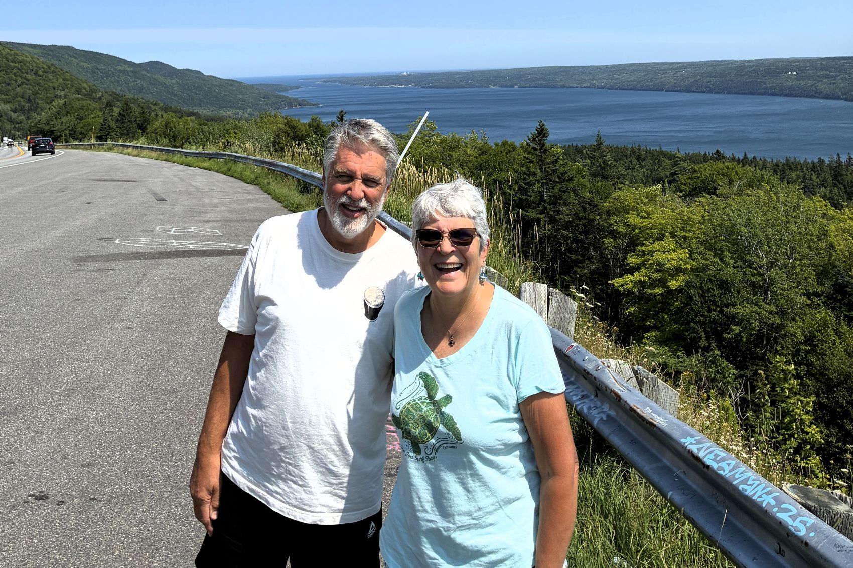
We arrived at the Arm of Gold Campground in Cape Breton, Nova Scotia (North Sydney) at 2pm. We met up for dinner at The Barn at our campground and enjoyed pizza and salad. Afterwards, we brought games to play – we played Mexican Train. No photos were taken, except this group photo!
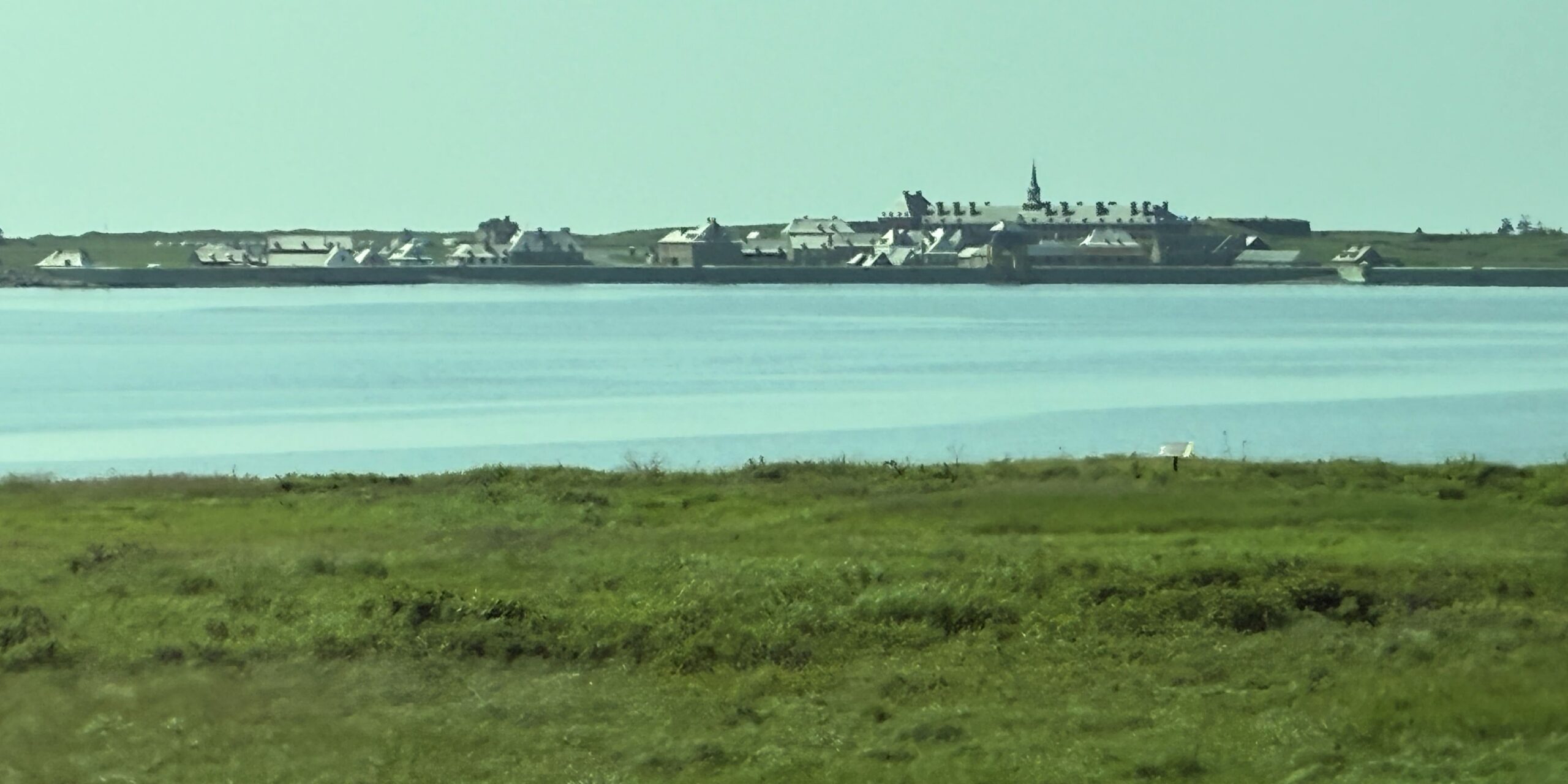
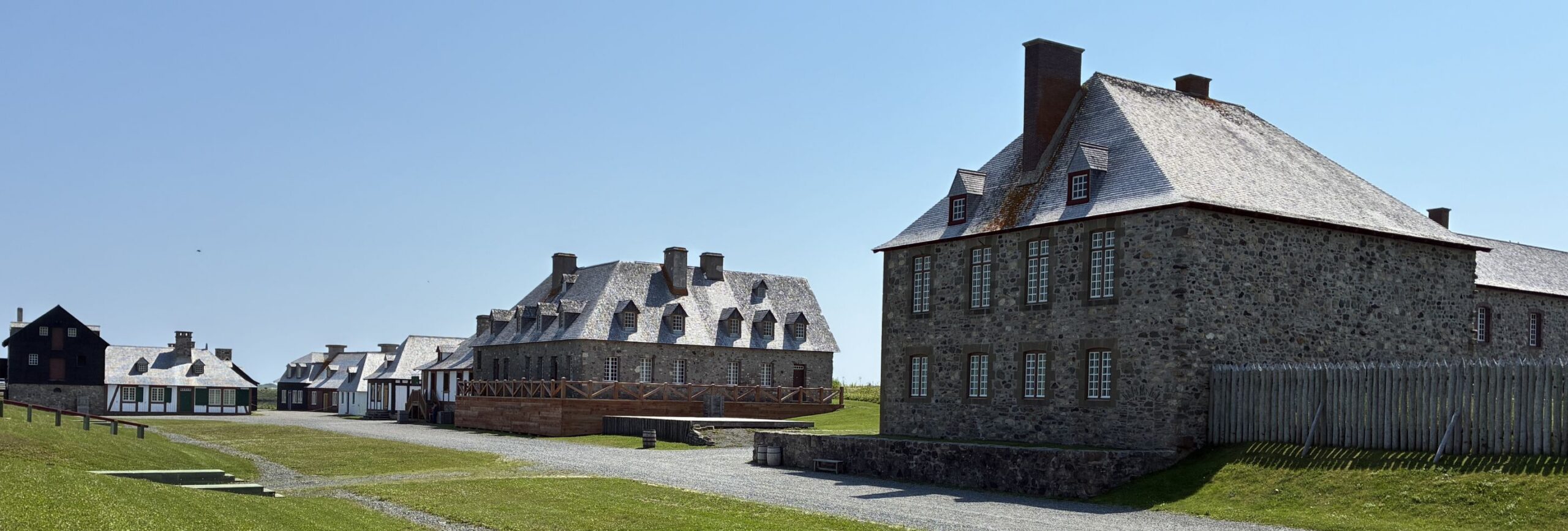
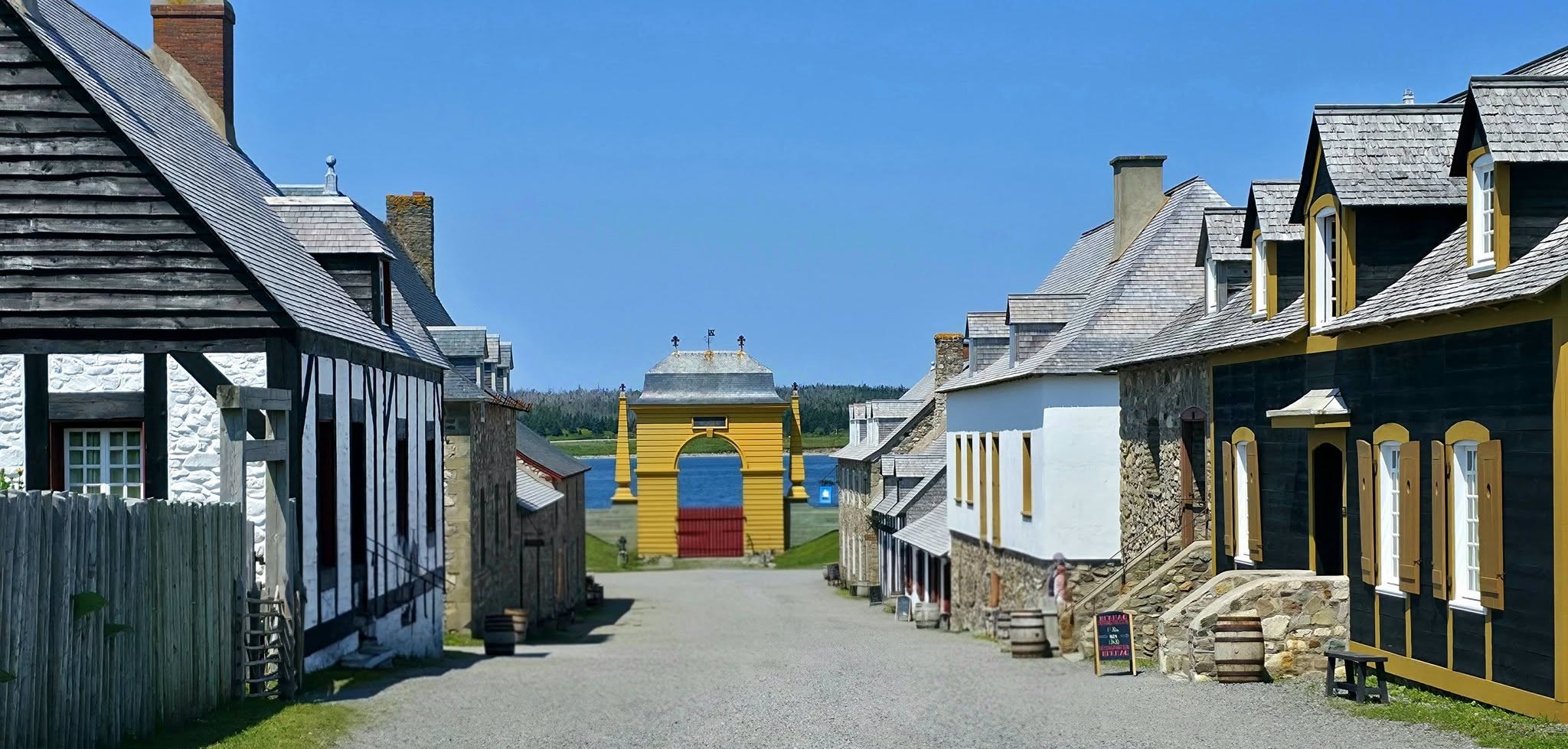
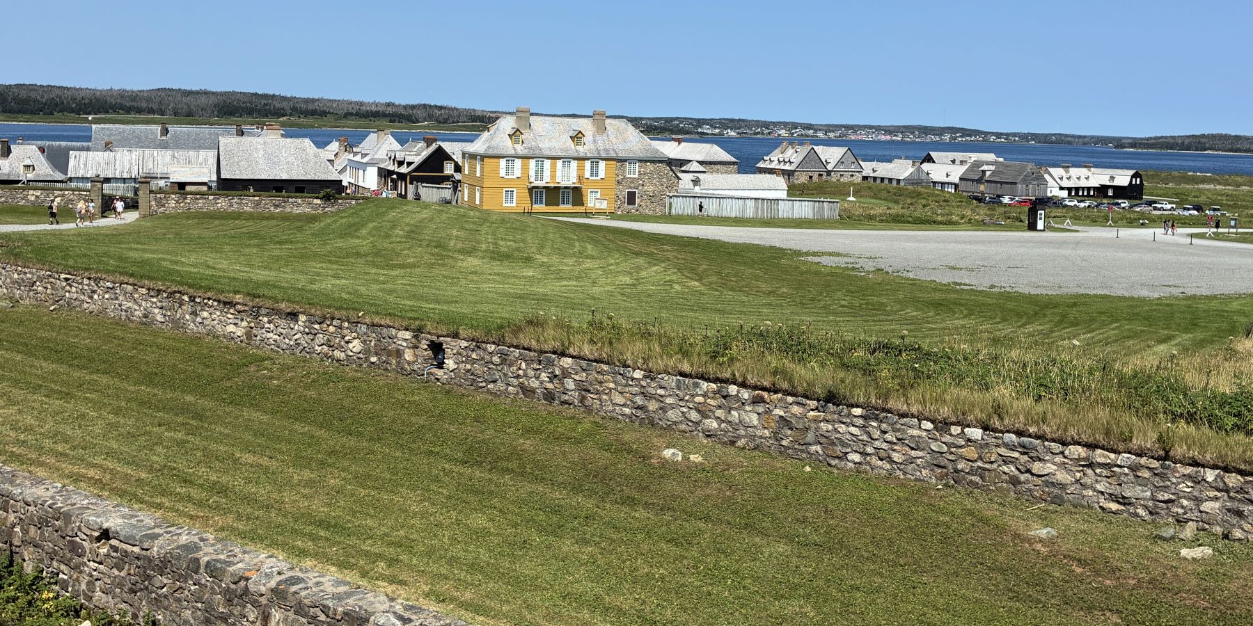
On August 6th, we had a bus take us to visit the Fortress of Louisbourg. As we finally got closer, we could see the Fortress across the way.
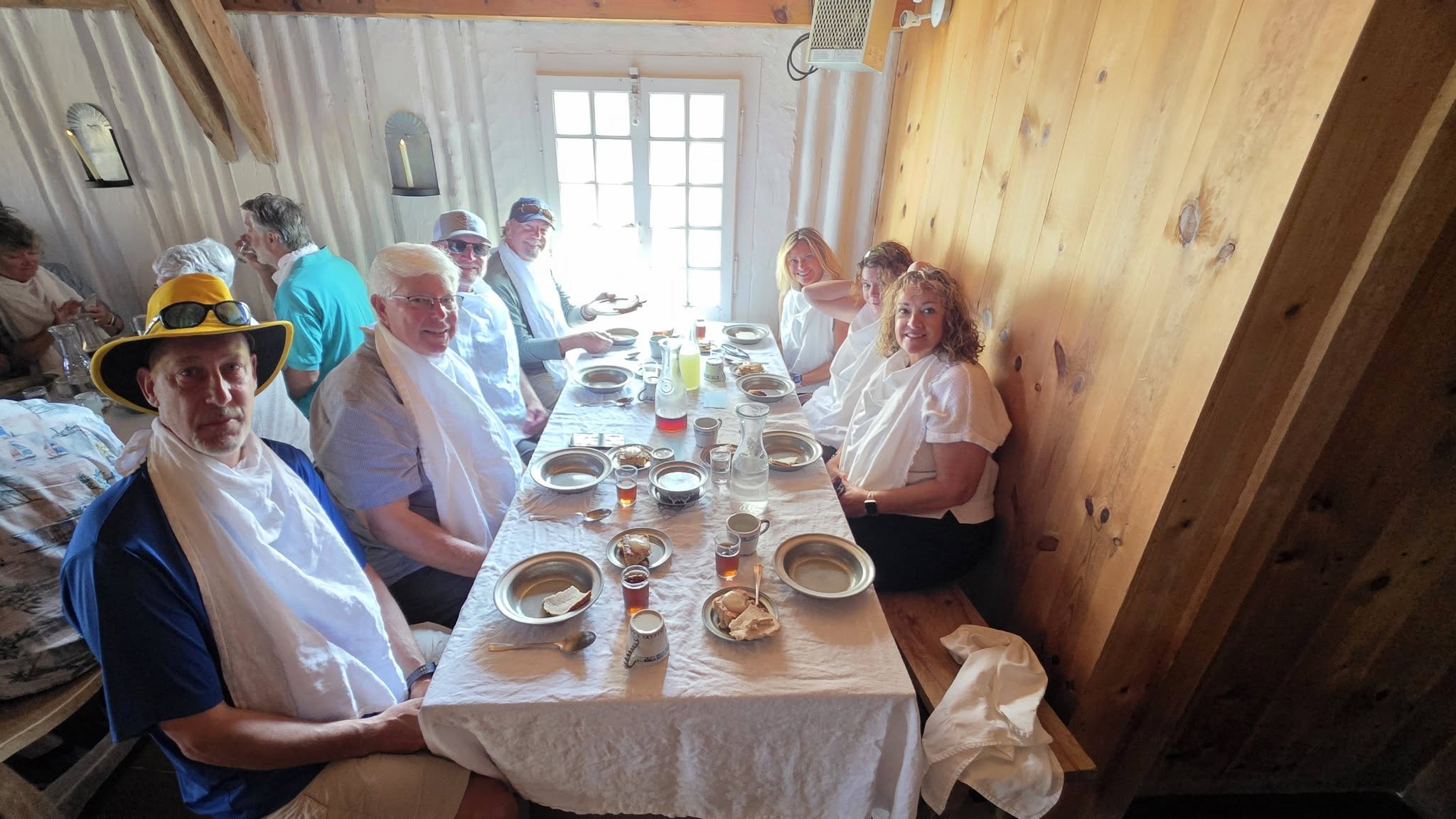
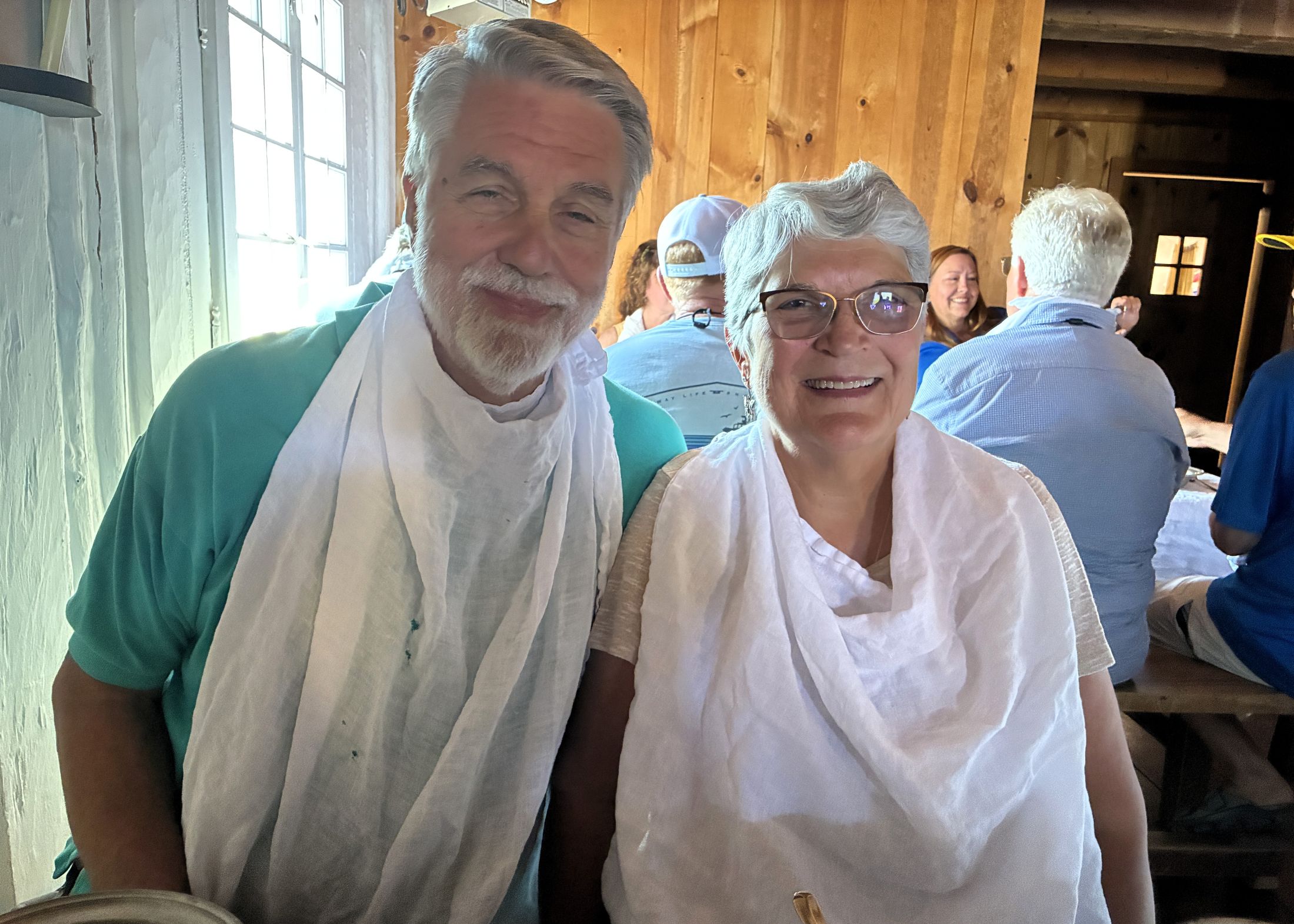
We began our time with a “soldiers’ meal”. We were all given a bib to tie on which added some amusement to the meal!
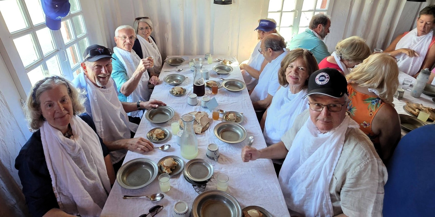
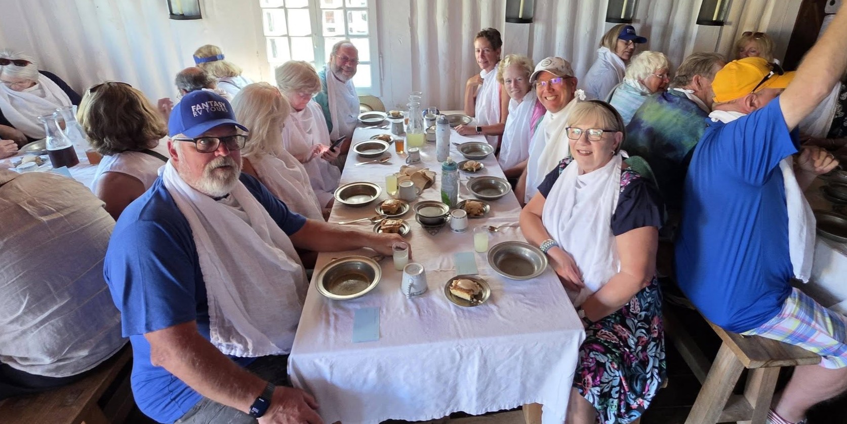
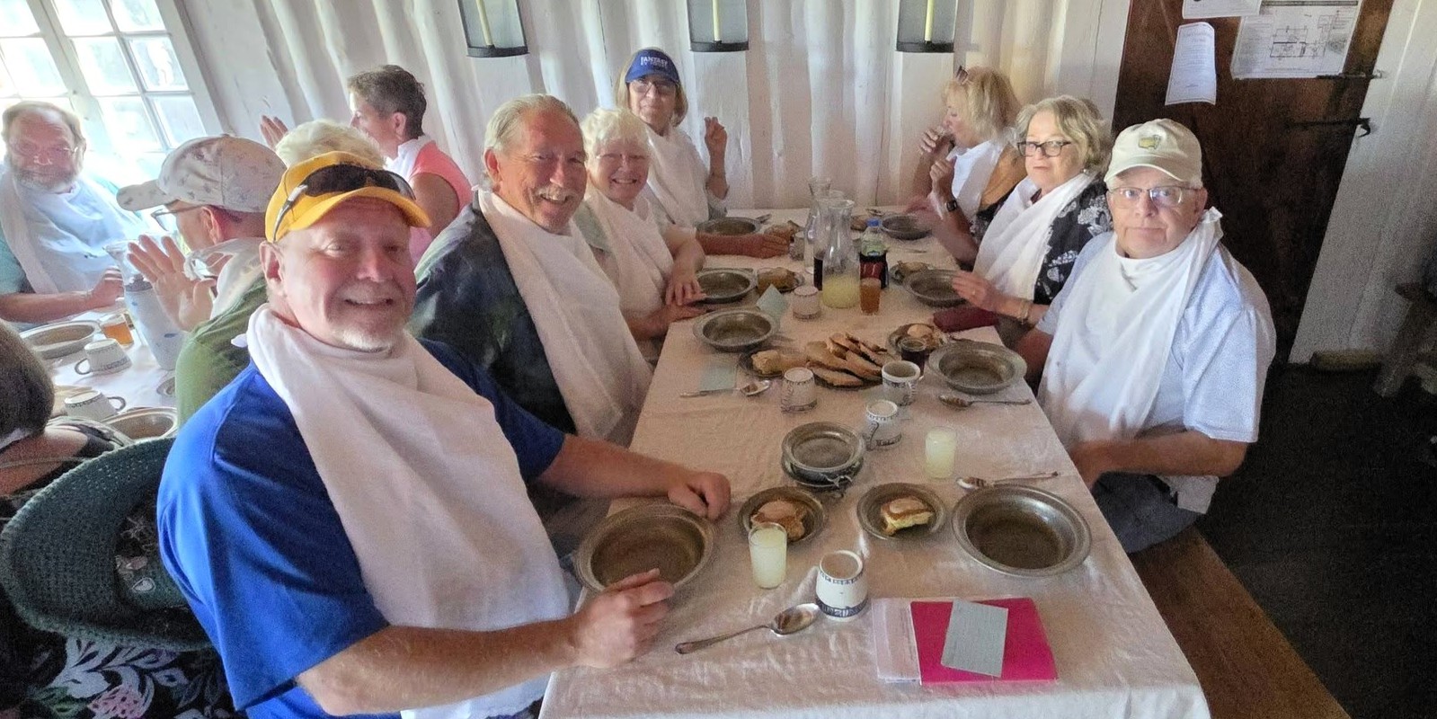
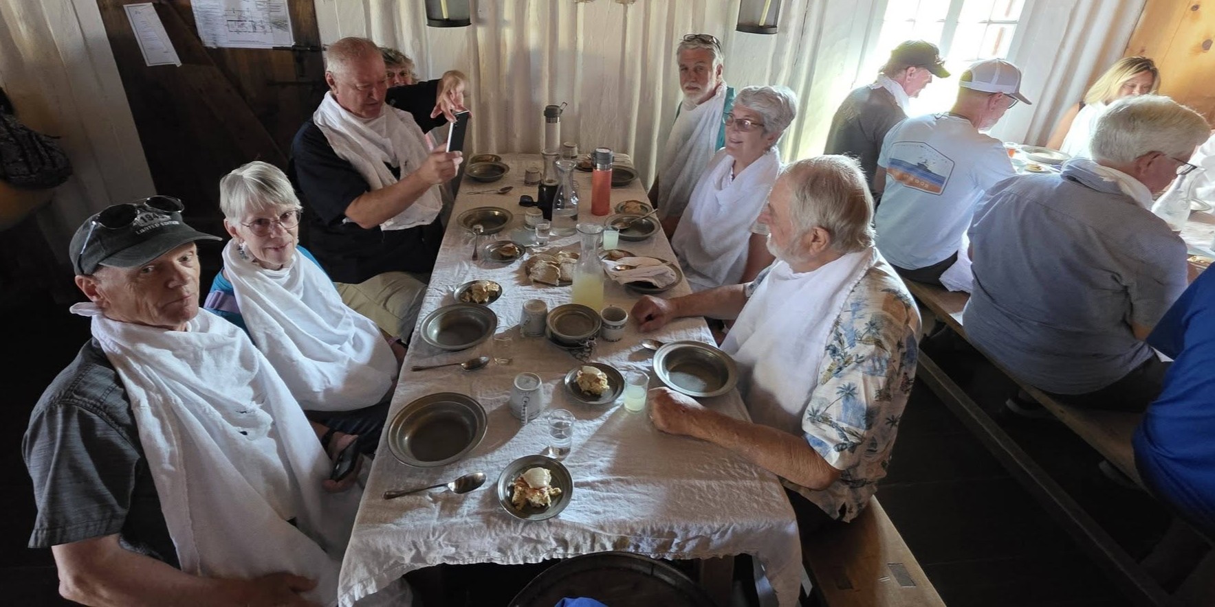
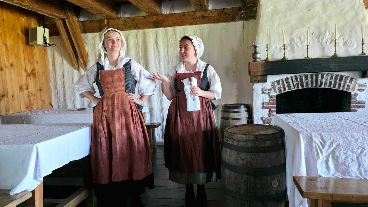
Our servers – Marie and Marie!
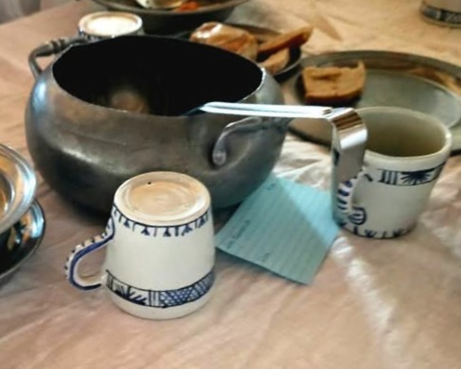
We were served a vegetable soup in a tureen to share with our table along with bread, rice and our choice of turkey or fish.
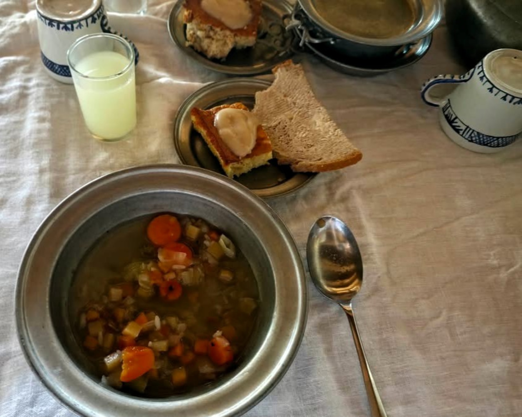
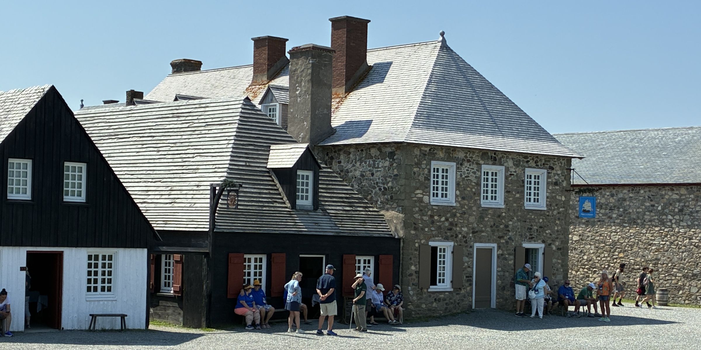
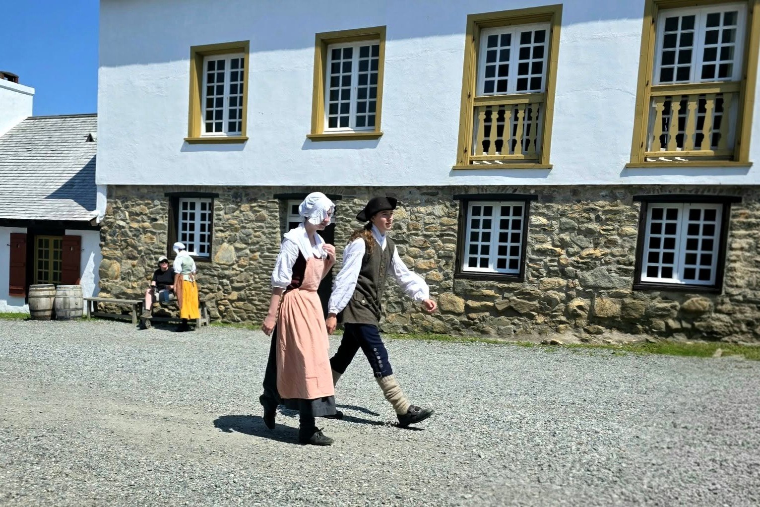
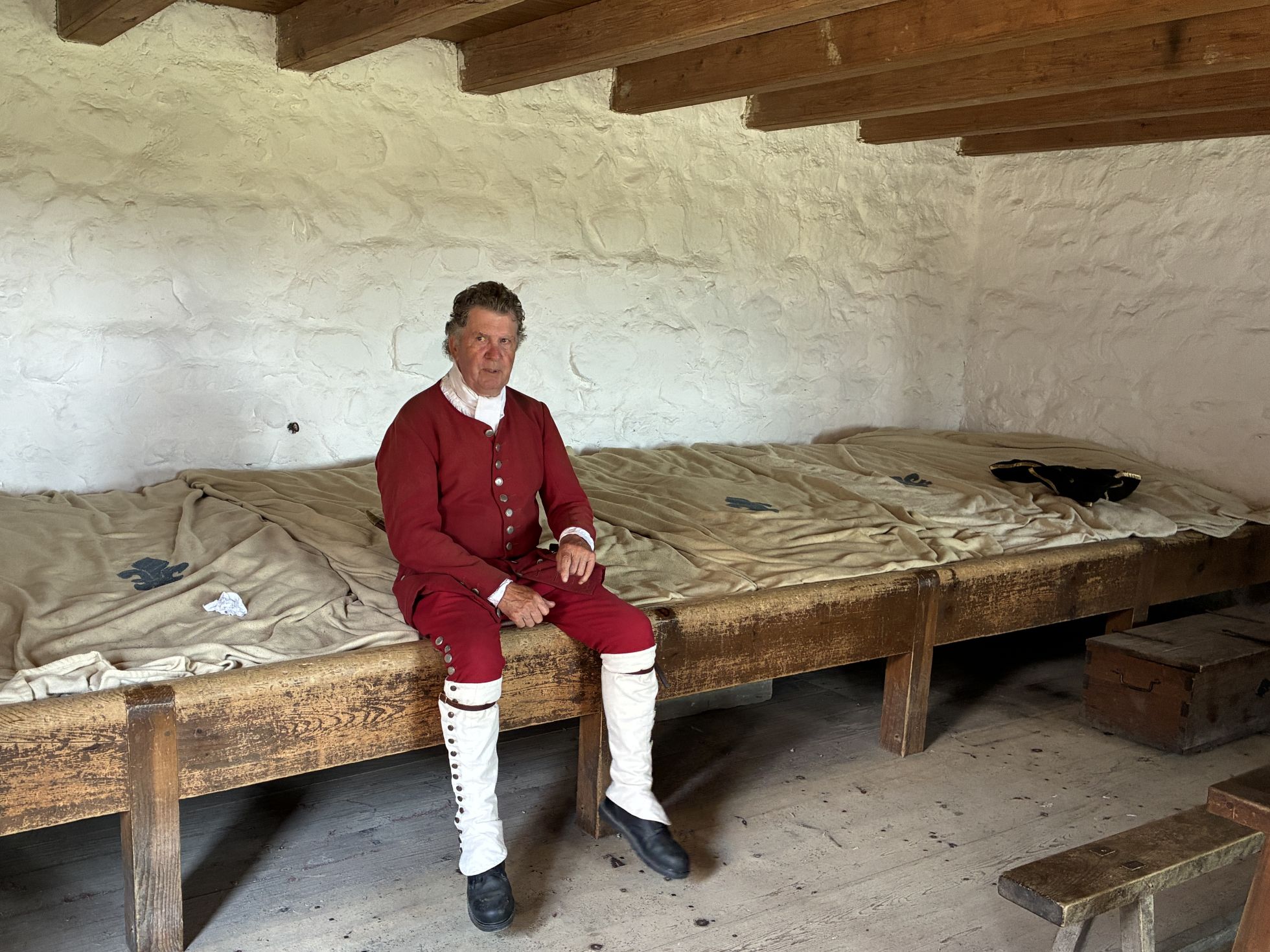
It was not the best meal of the trip – scanty portions and the soup was barely lukewarm. After lunch, we had a guided tour of part of the fort – with authentic period costumes to get a glimpse into 18th century French colonial life.
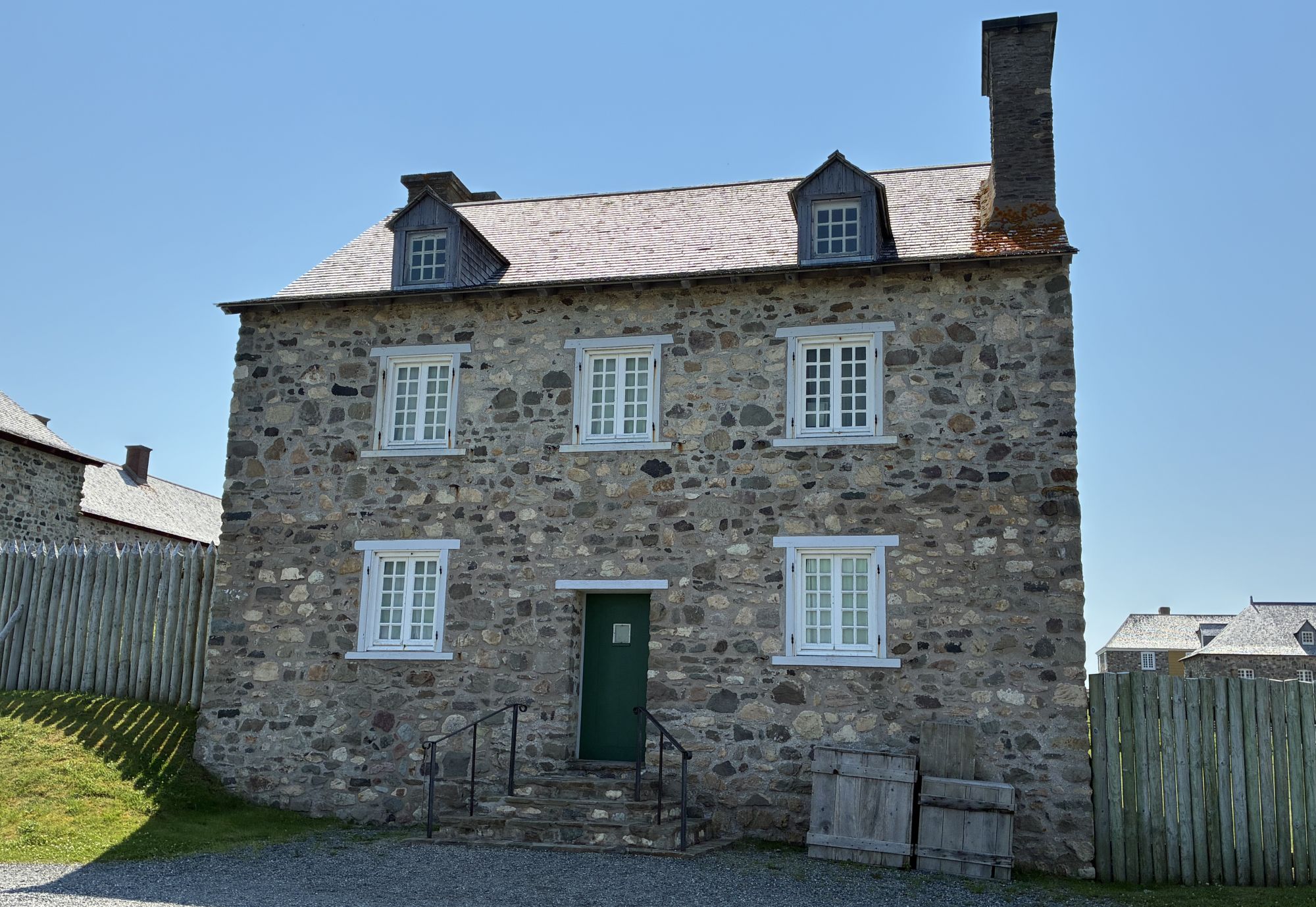
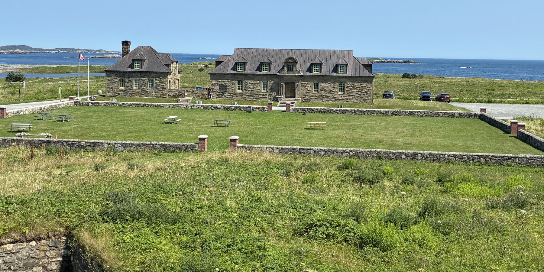
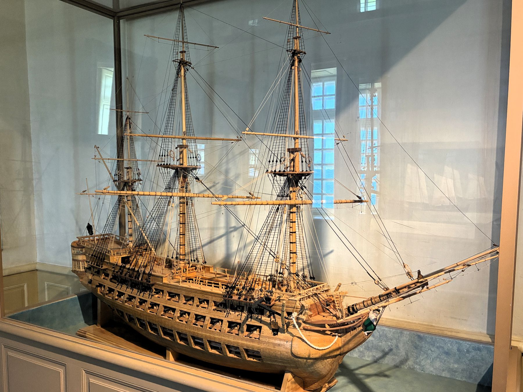
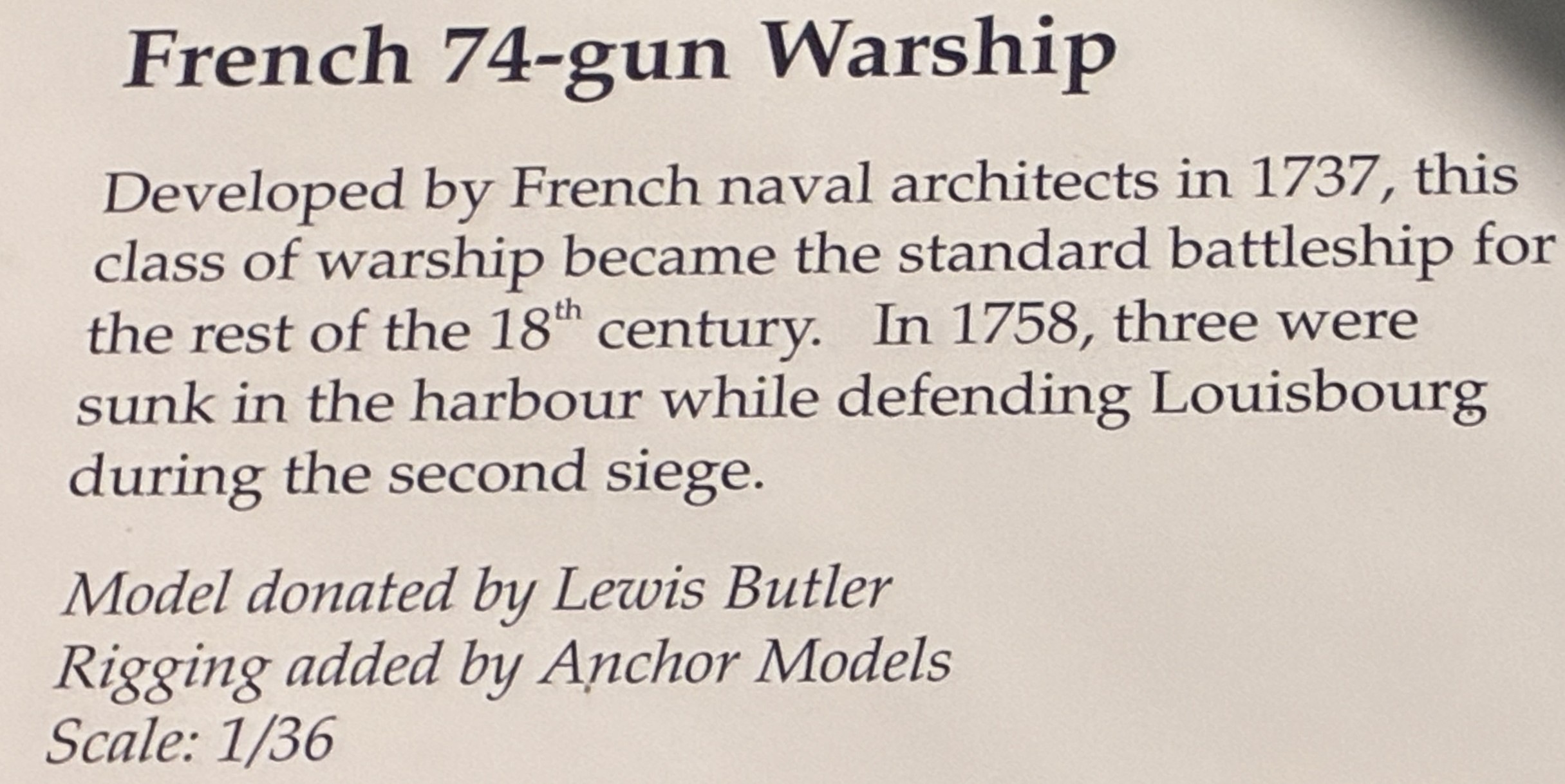
Our guide gave us a brief history of the Fortress of Louisbourg. It is one of North America’s largest historical reconstructions. A project that started in 1961 has recreated about one‑quarter of the original 1740s French colonial town, based on archaeological excavations and extensive archival research.
The French came here in 1713 and began to construct the fortress in 1719 – not a fort but a fortified town. It was built here because the harbor doesn’t freeze and it was good for cod fishing. In 1745 a siege by the British caused the French to surrender and leave the fort, but after 3 years of occupation, it was given back to the French. In 1758 Louisbourg was besieged a second time, and the British demolished the fortress walls in 1760.
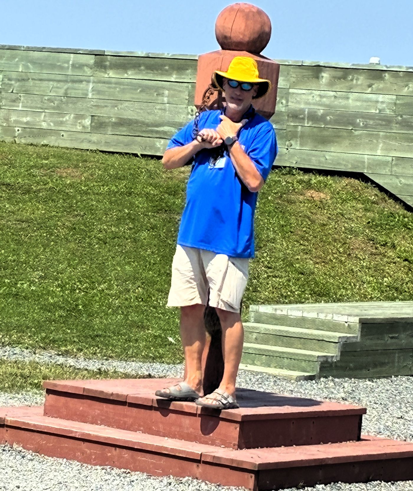
Oh my – looks like Steve got chained to the pillory…
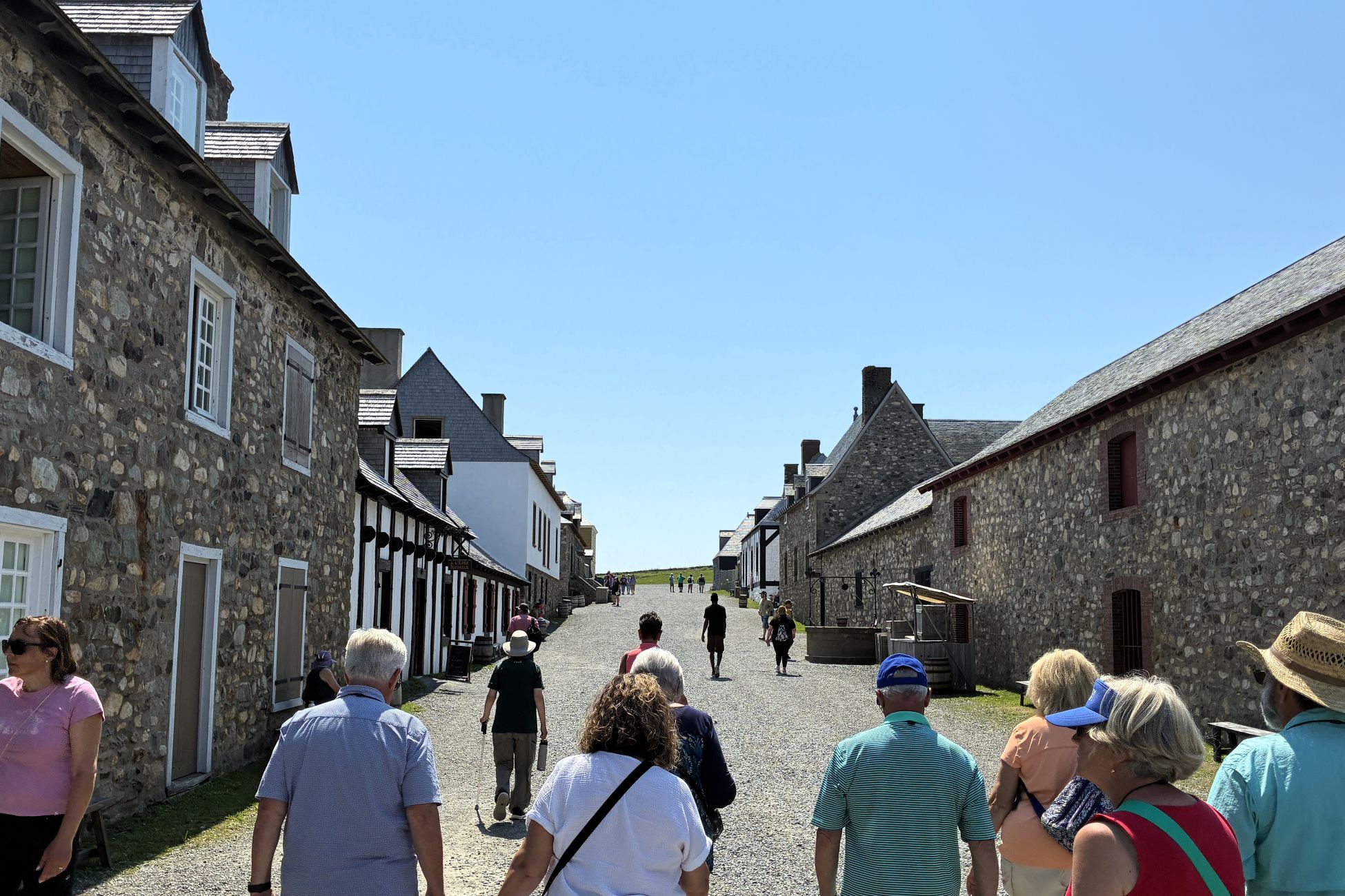
We walked up the hill to the large building with a clock tower.
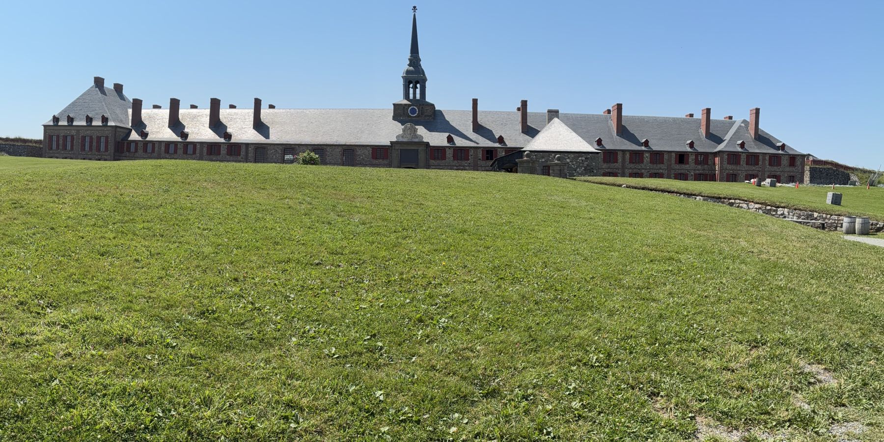
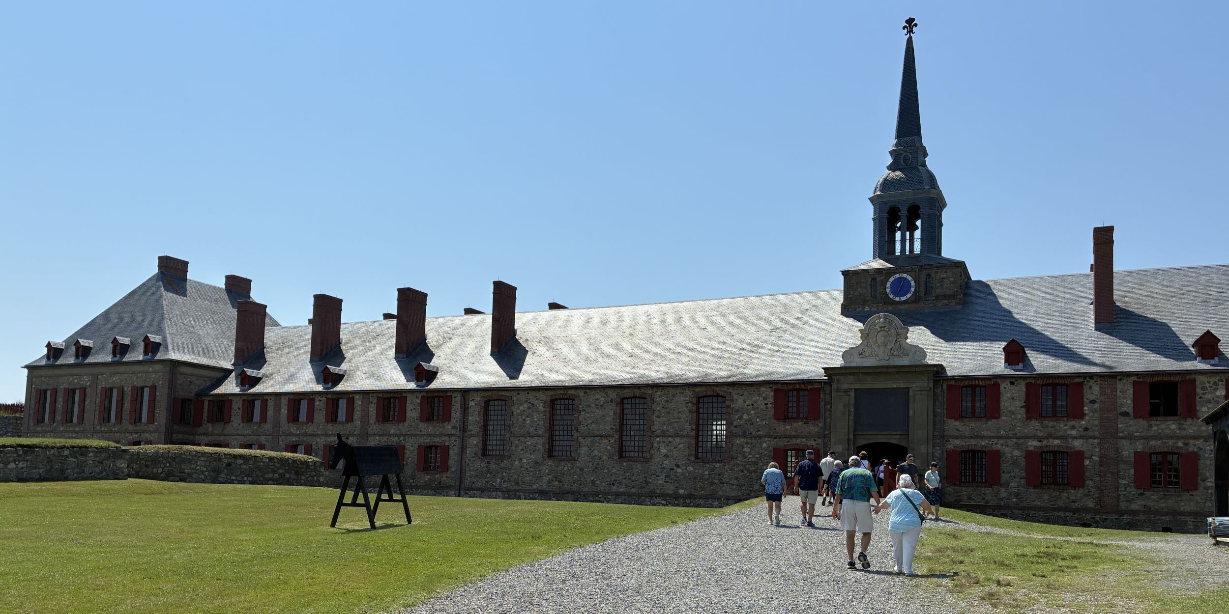
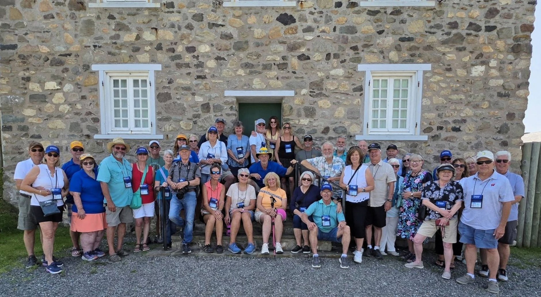
We had a very short time to explore the massive fortress on our own.
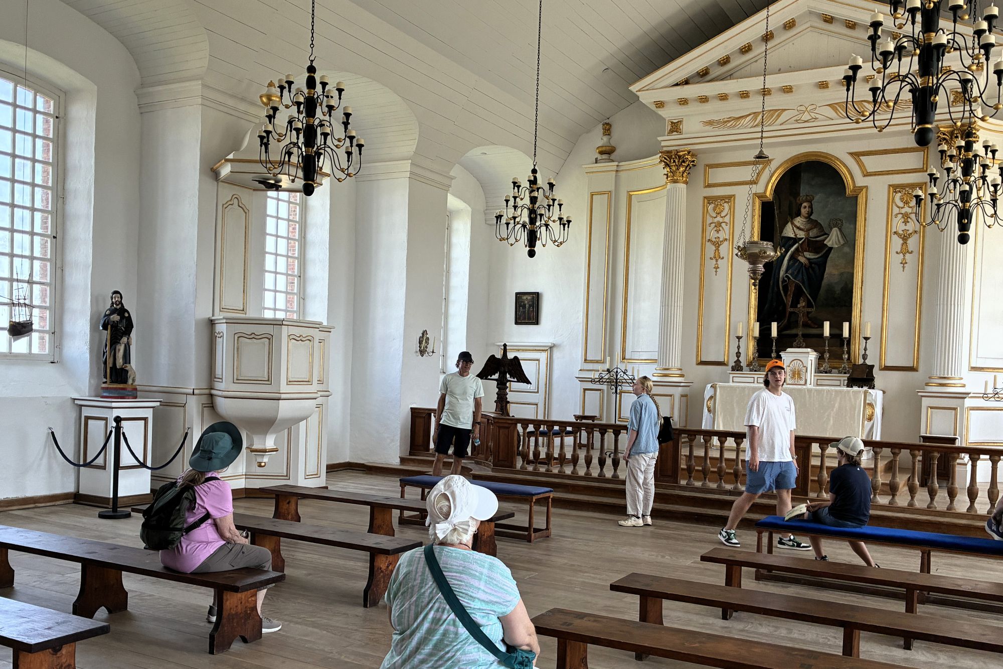
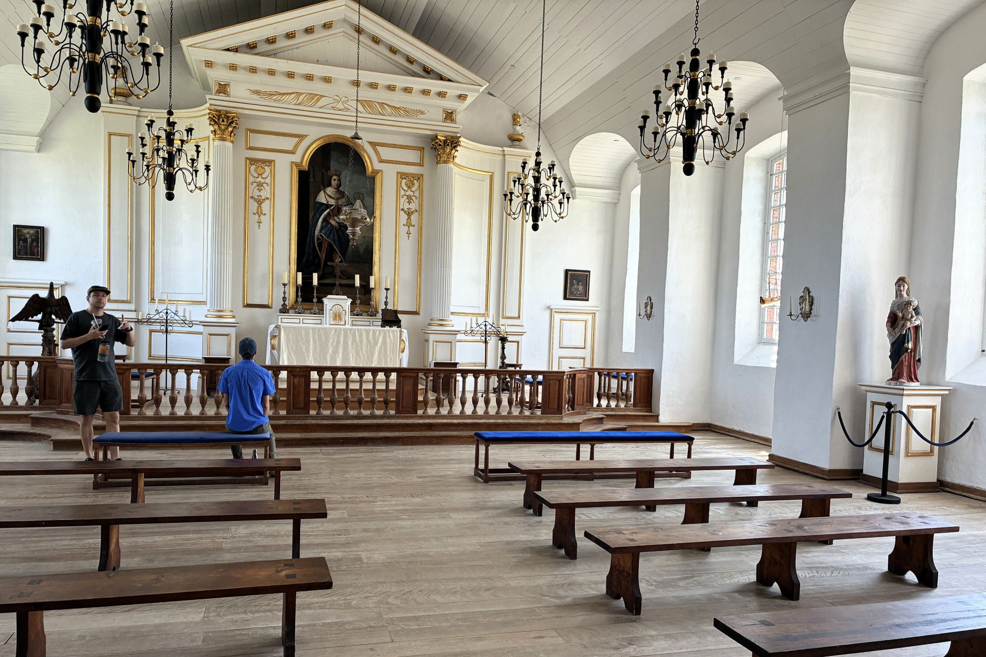
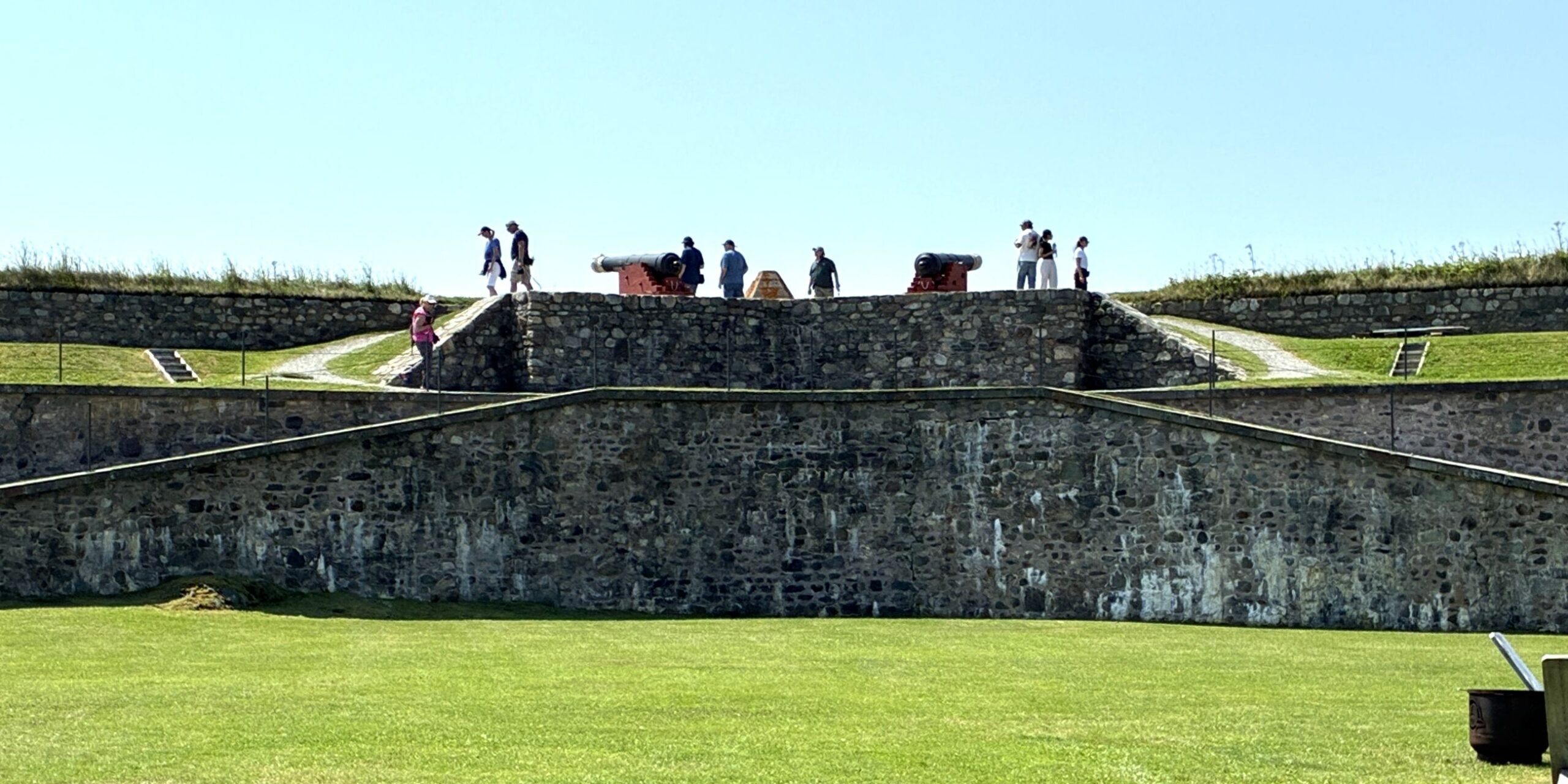
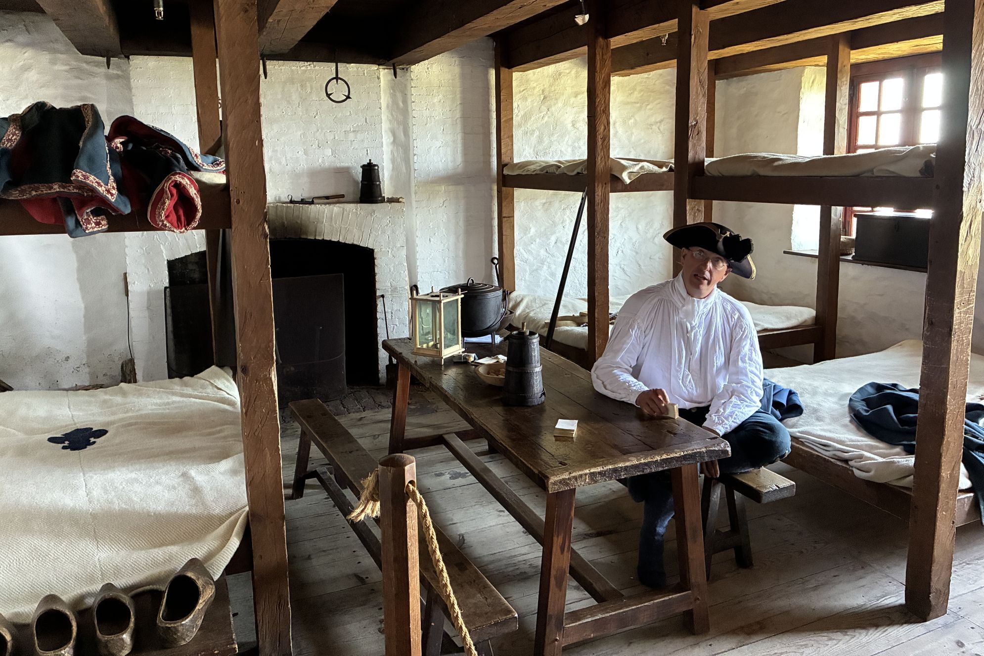
We stopped by the barracks where some soldiers would have lived; notice the wooden shoes.
A museum showed some of the artifacts found as they explored the ruins – and how they had to make ironworks to match what had been there.
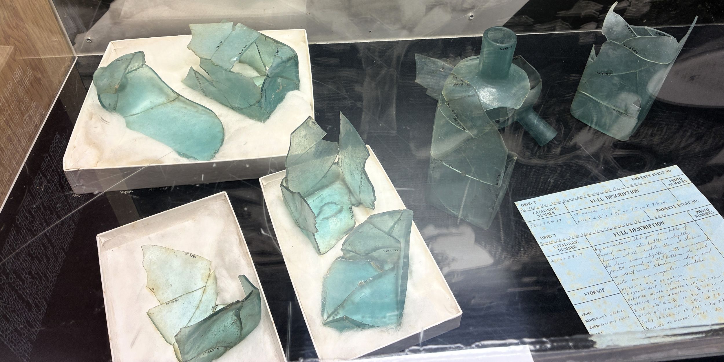
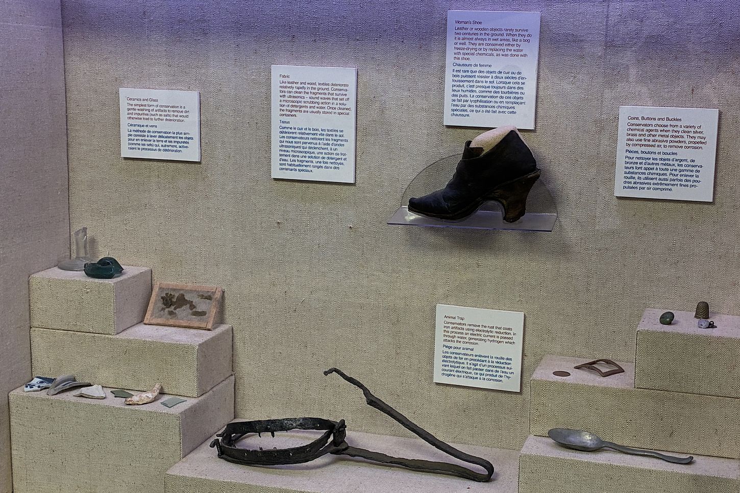
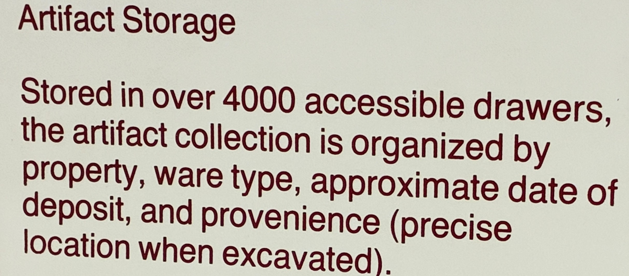
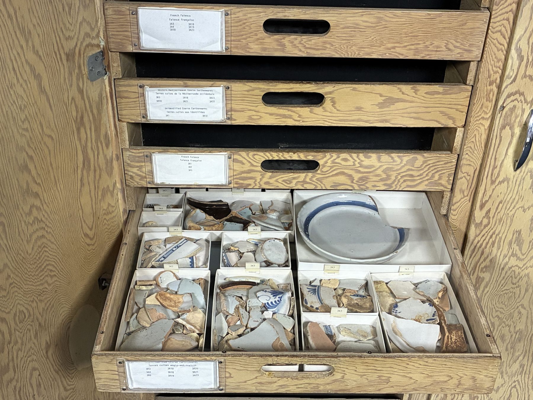
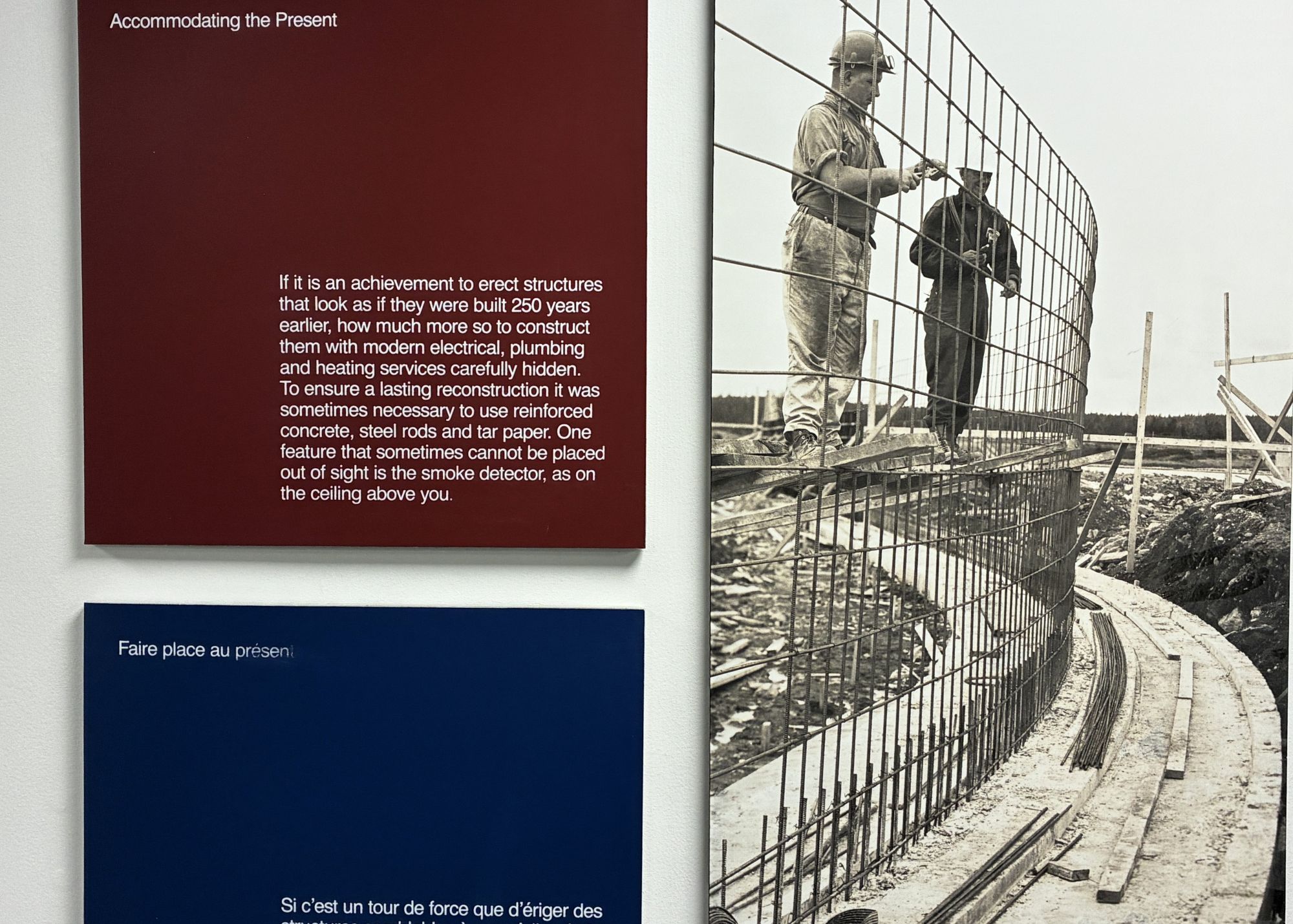
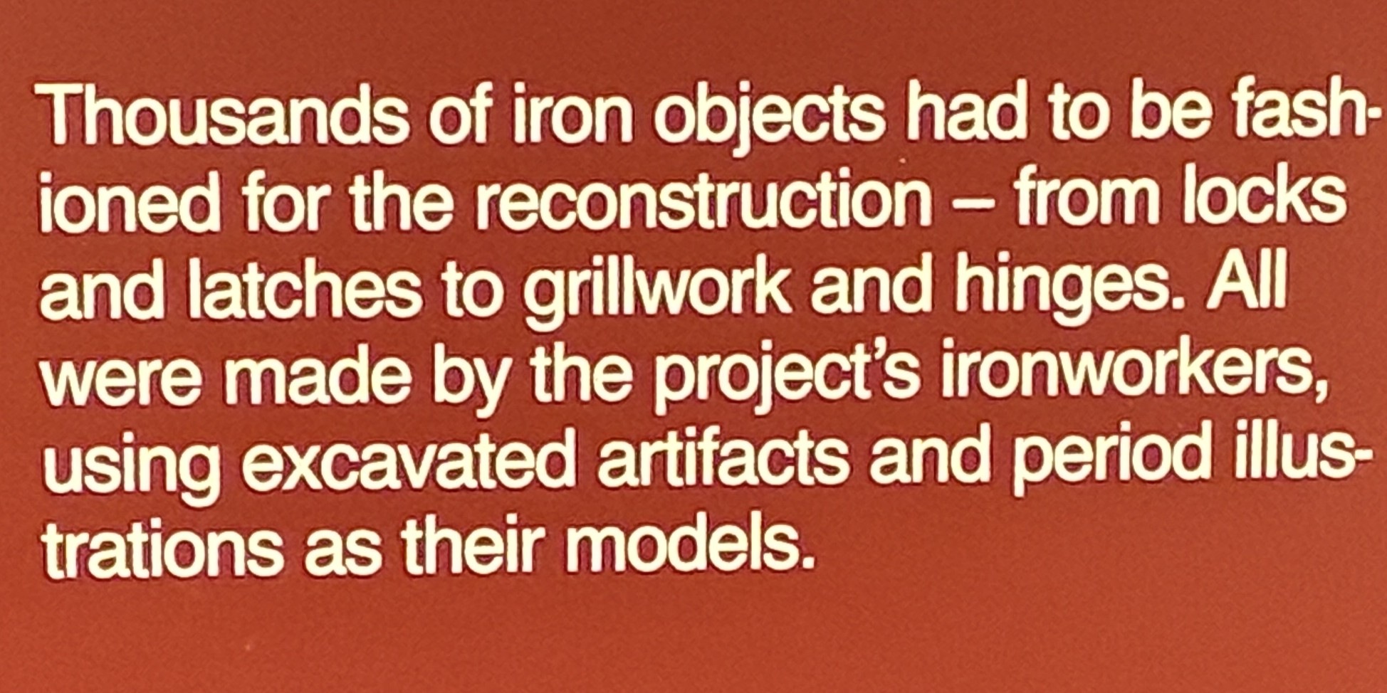
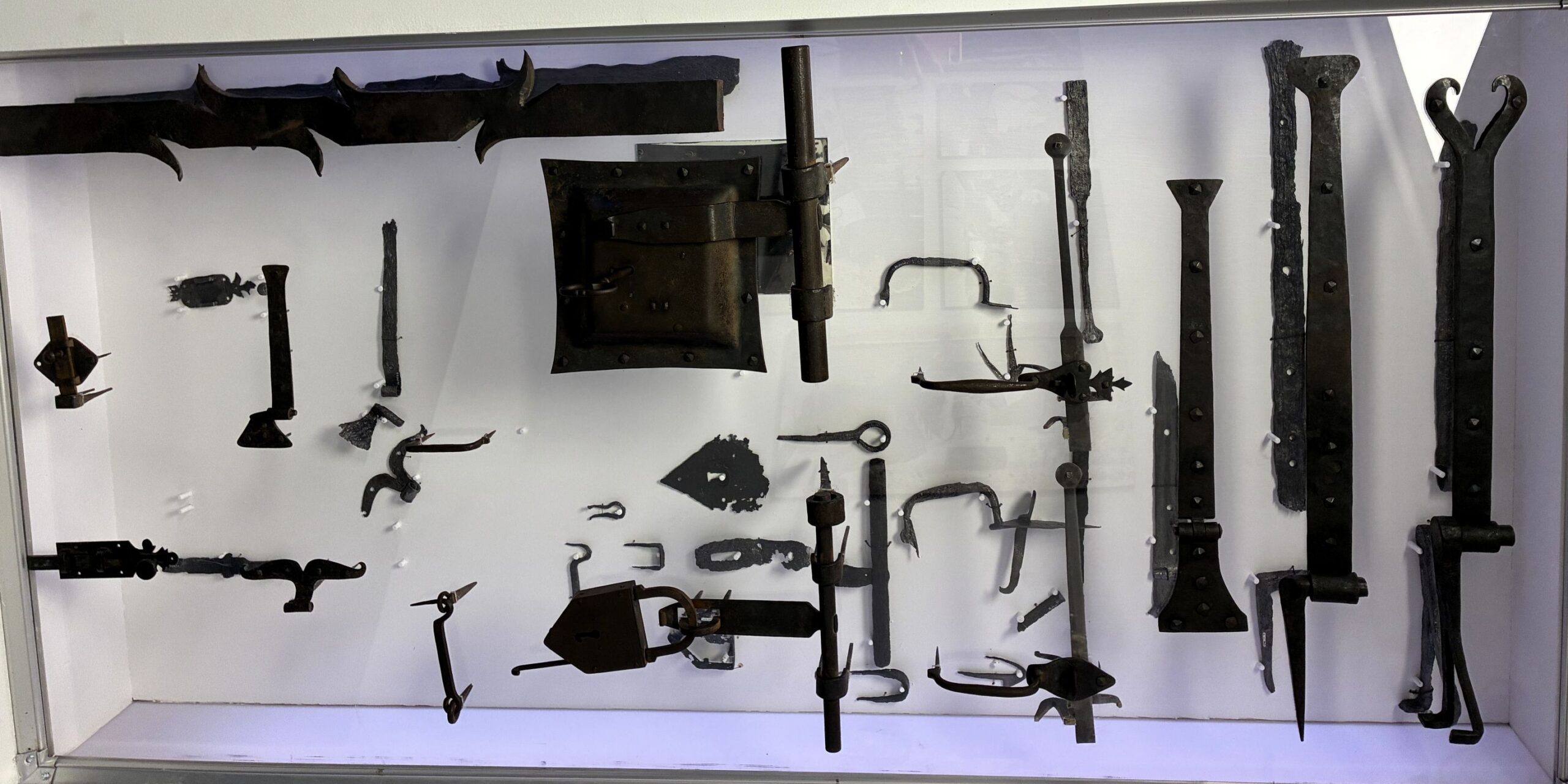
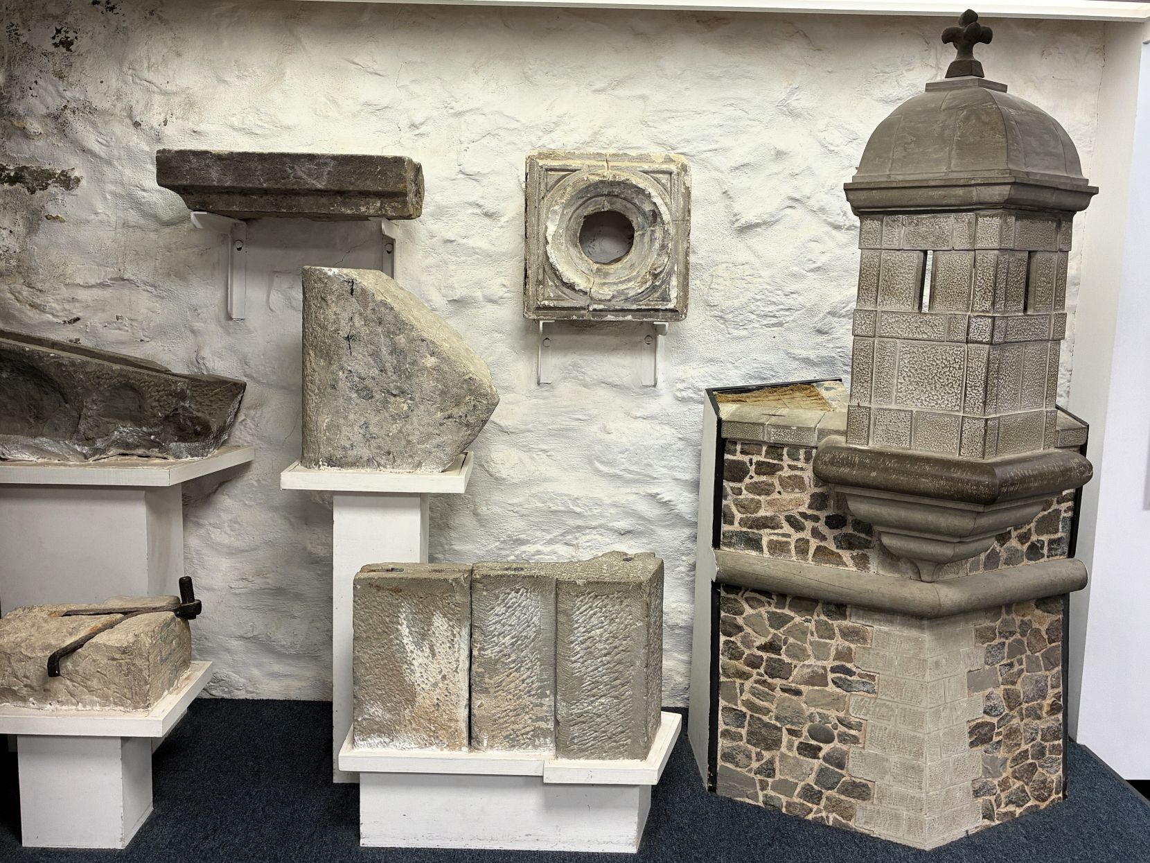
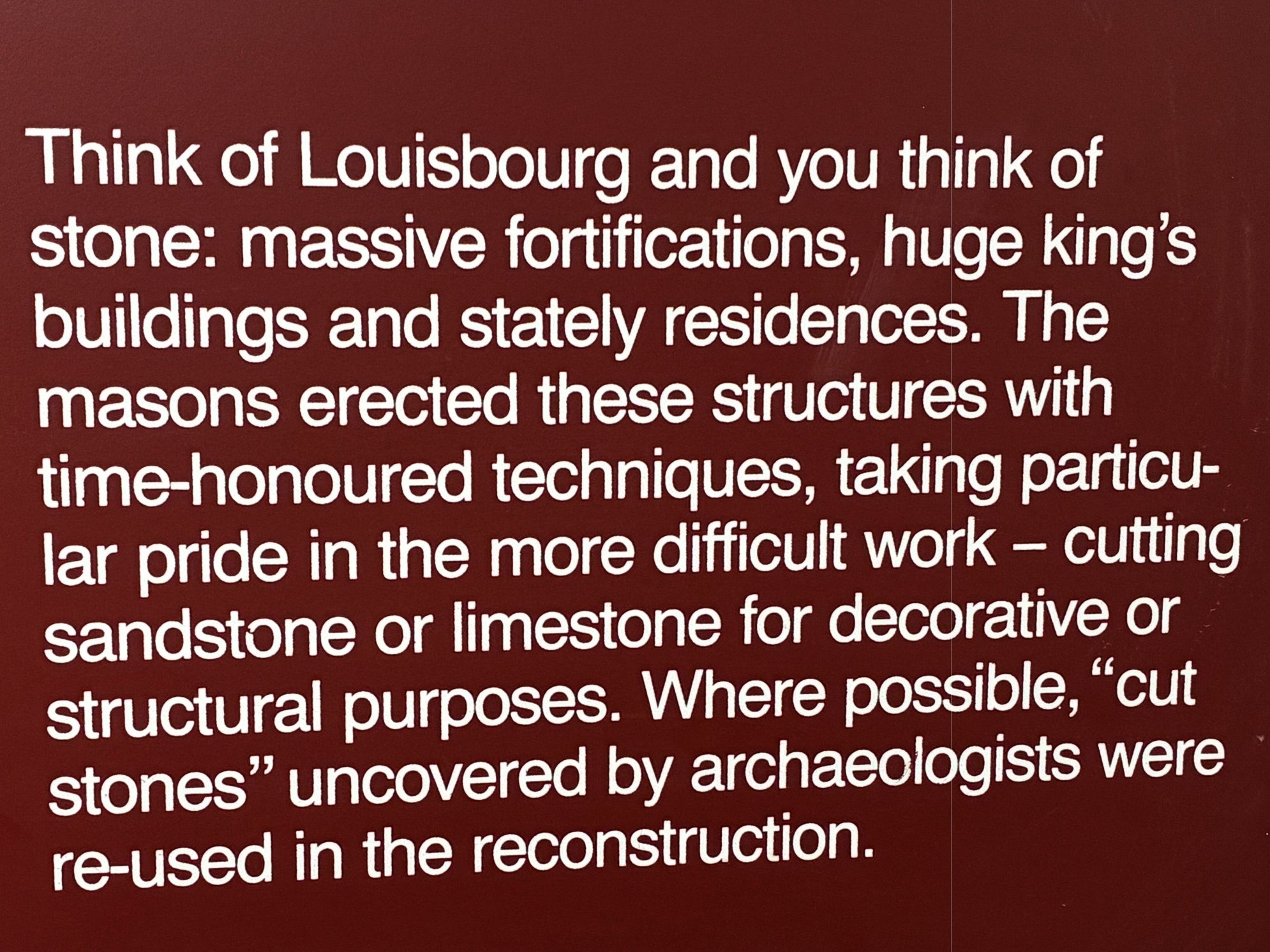
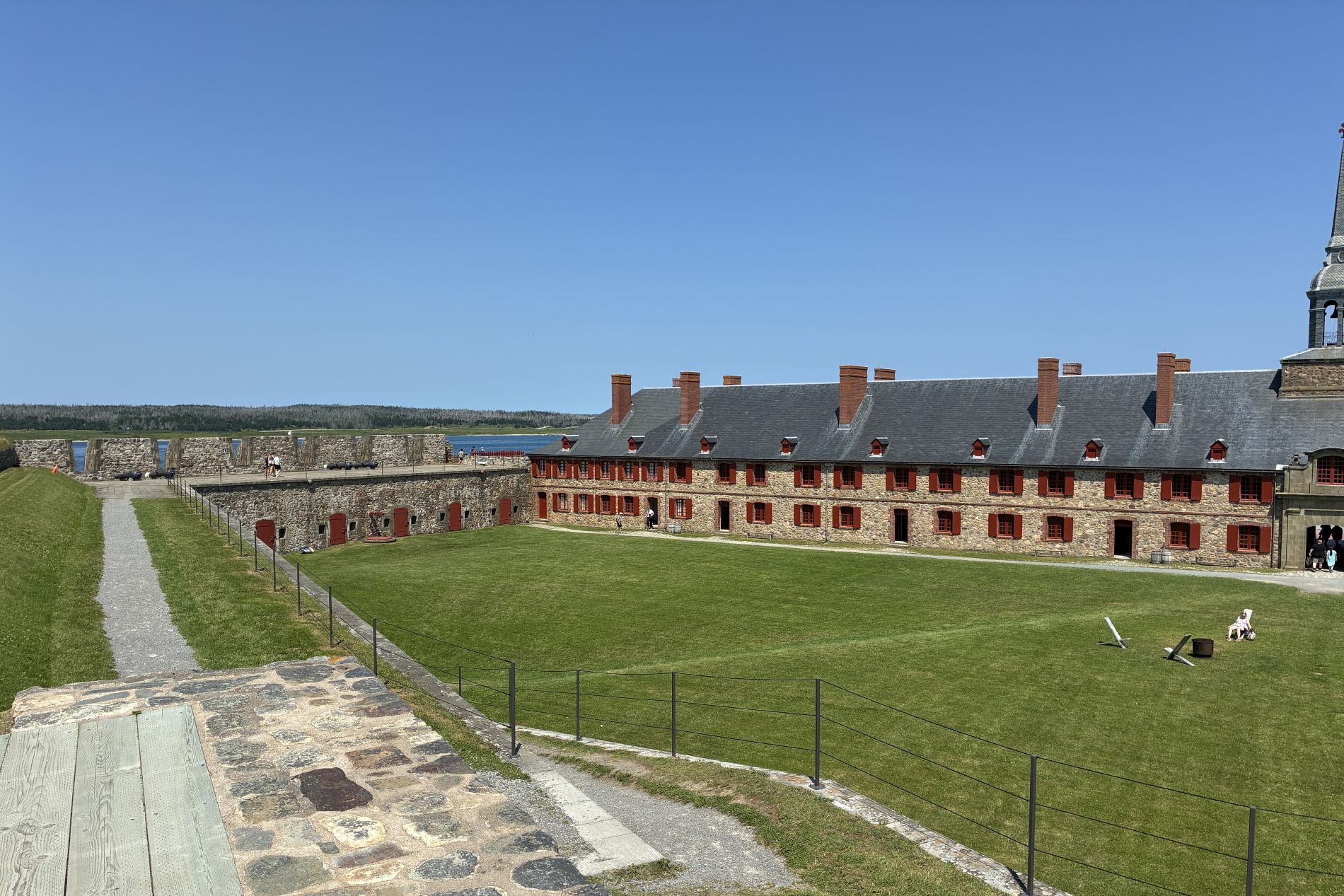
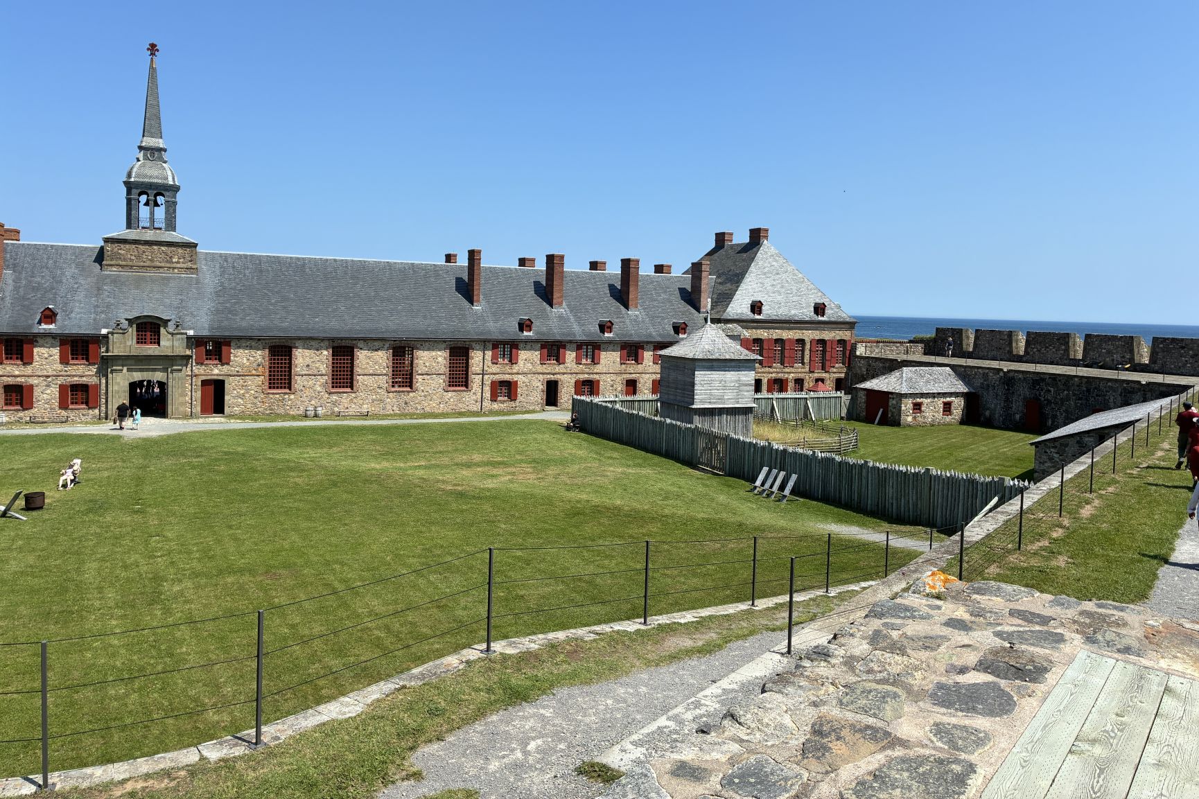
So much to see and nowhere near enough time to see it!
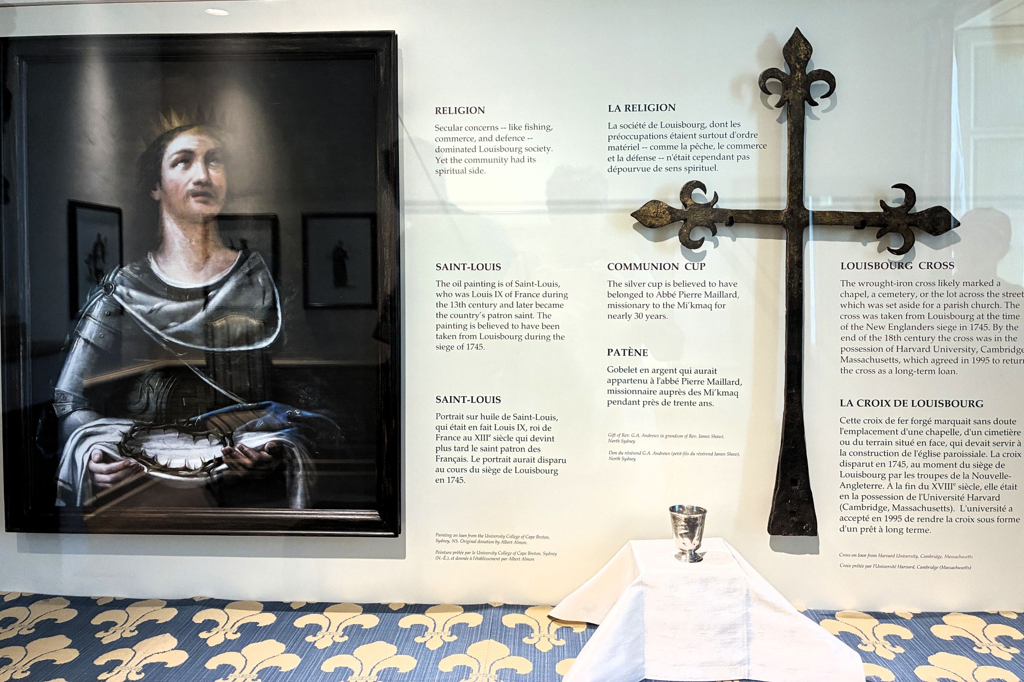
Some recovered treasures that can be traced back to the Fortress – interesting to note the cross had been at Harvard University and was returned as a long-term loan in 1995.
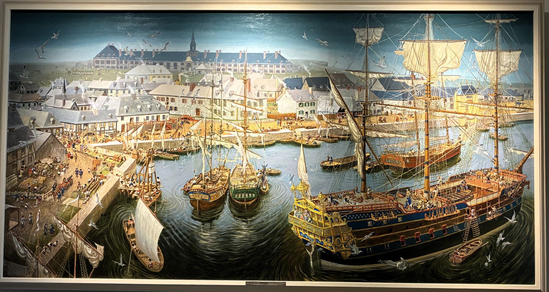
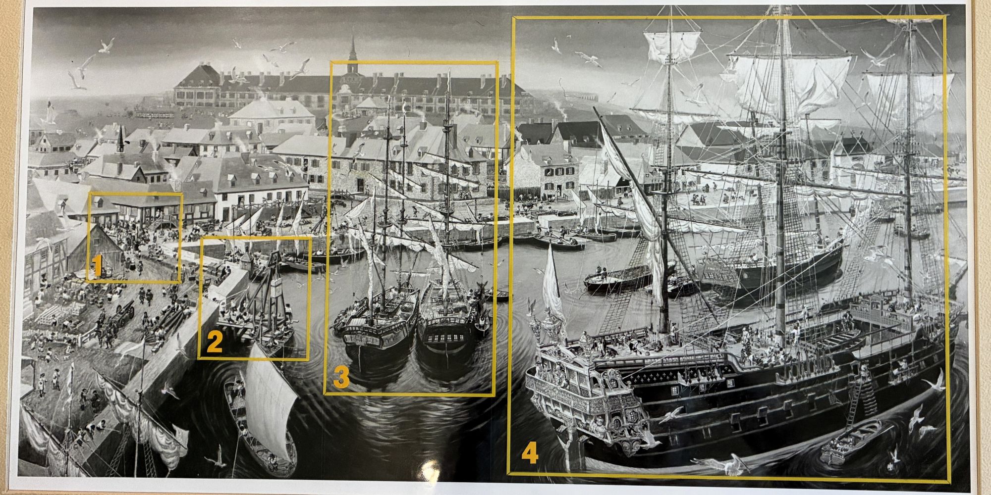
A couple of paintings show how things may have looked at the Fortress in its heyday.
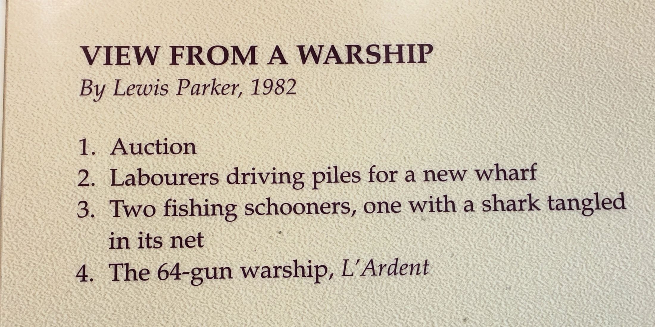
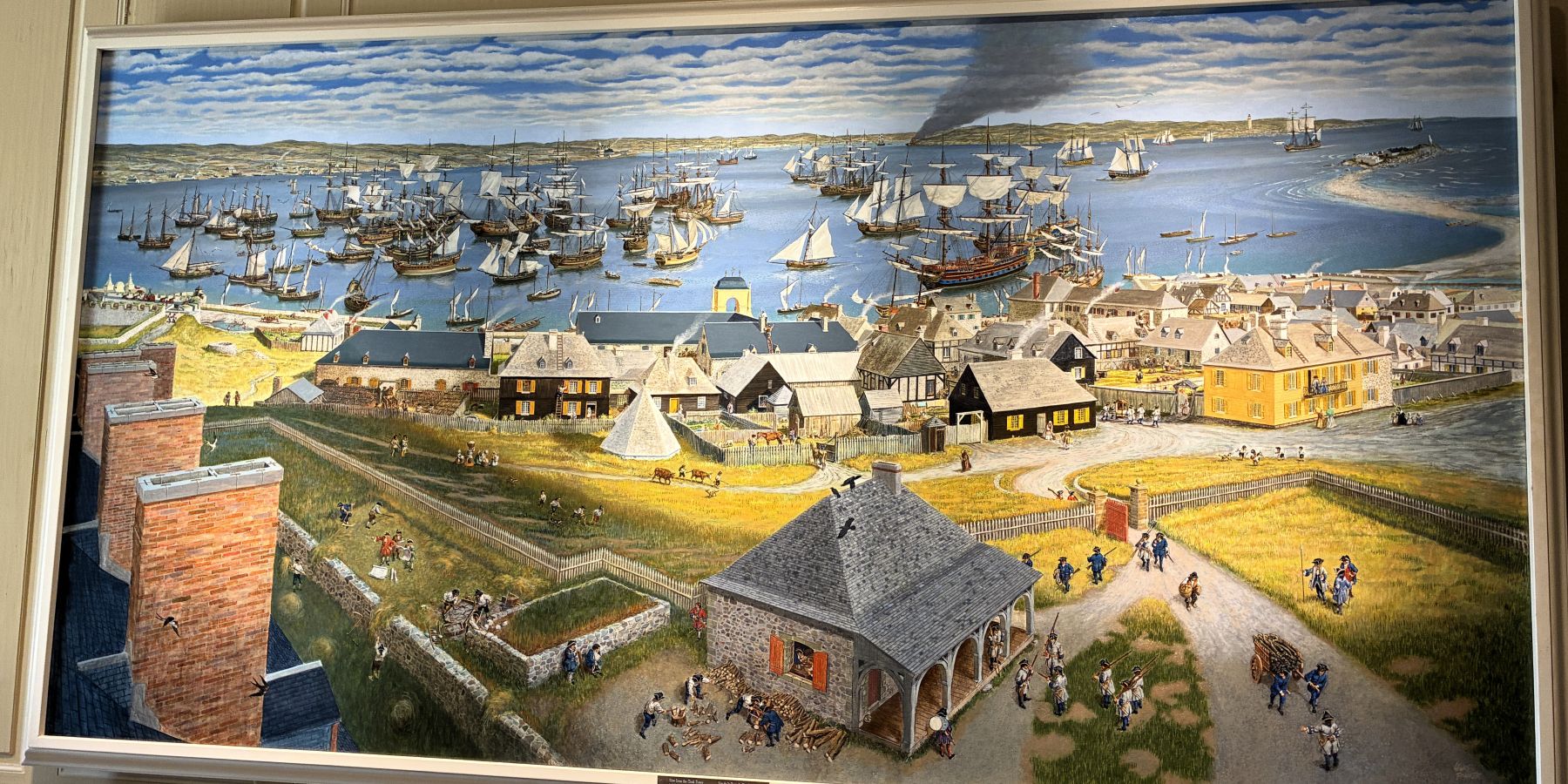
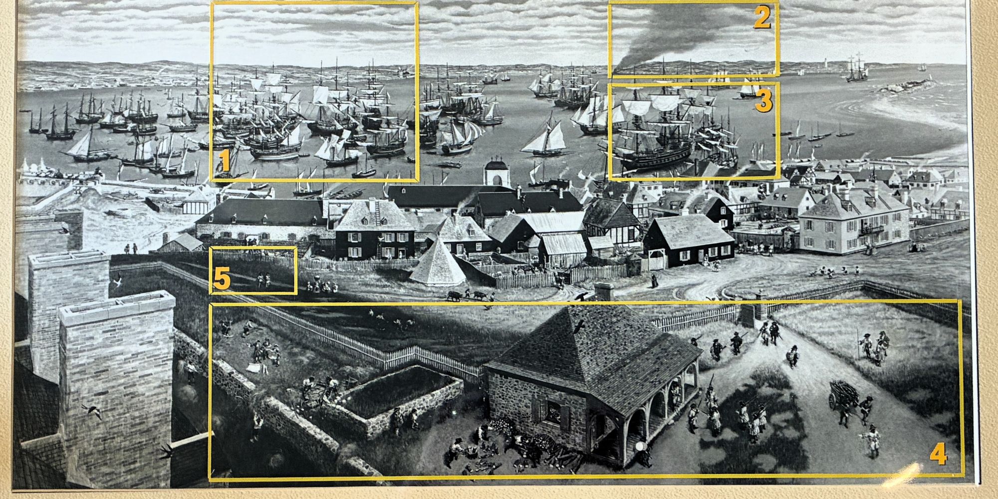
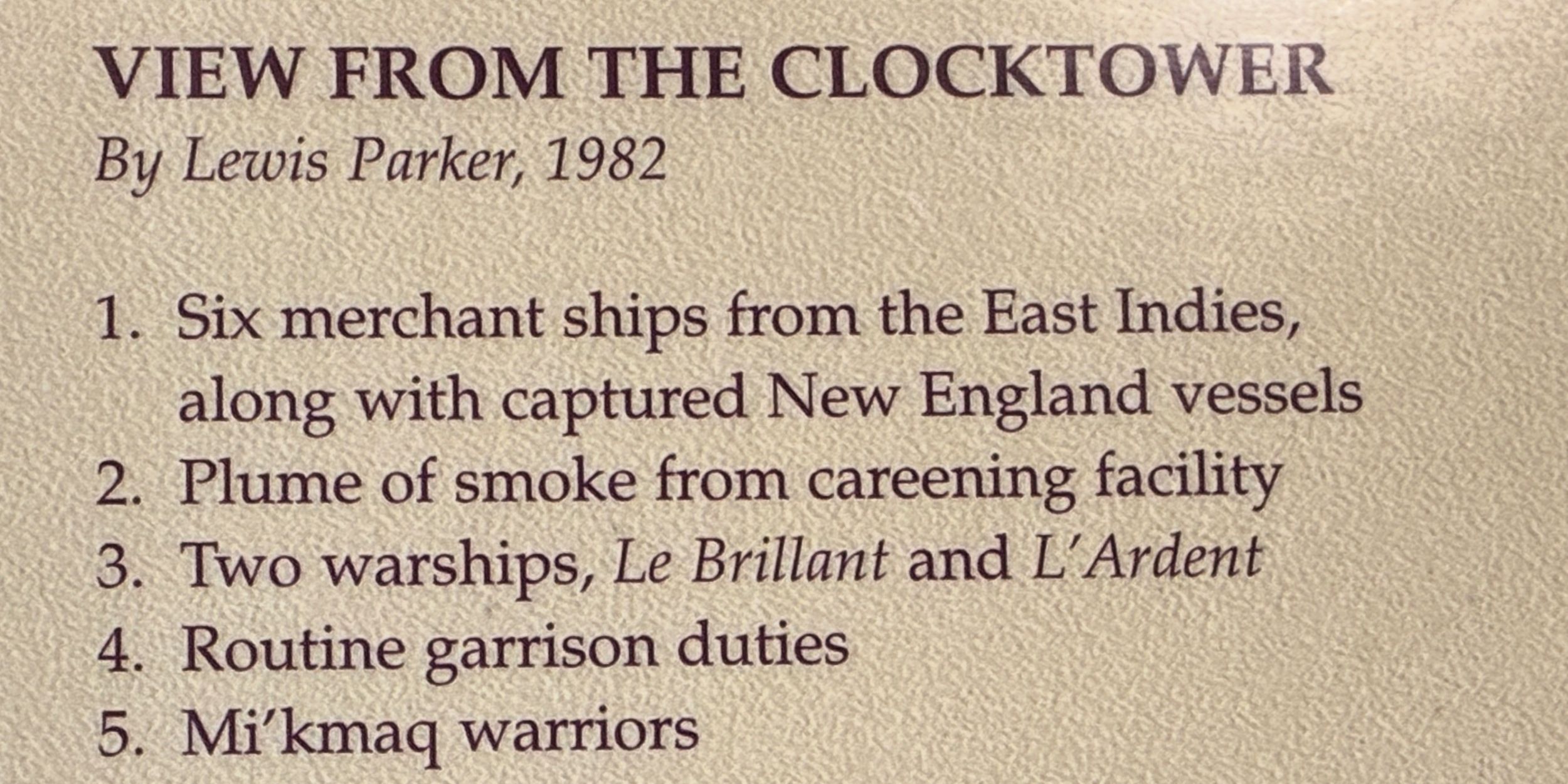
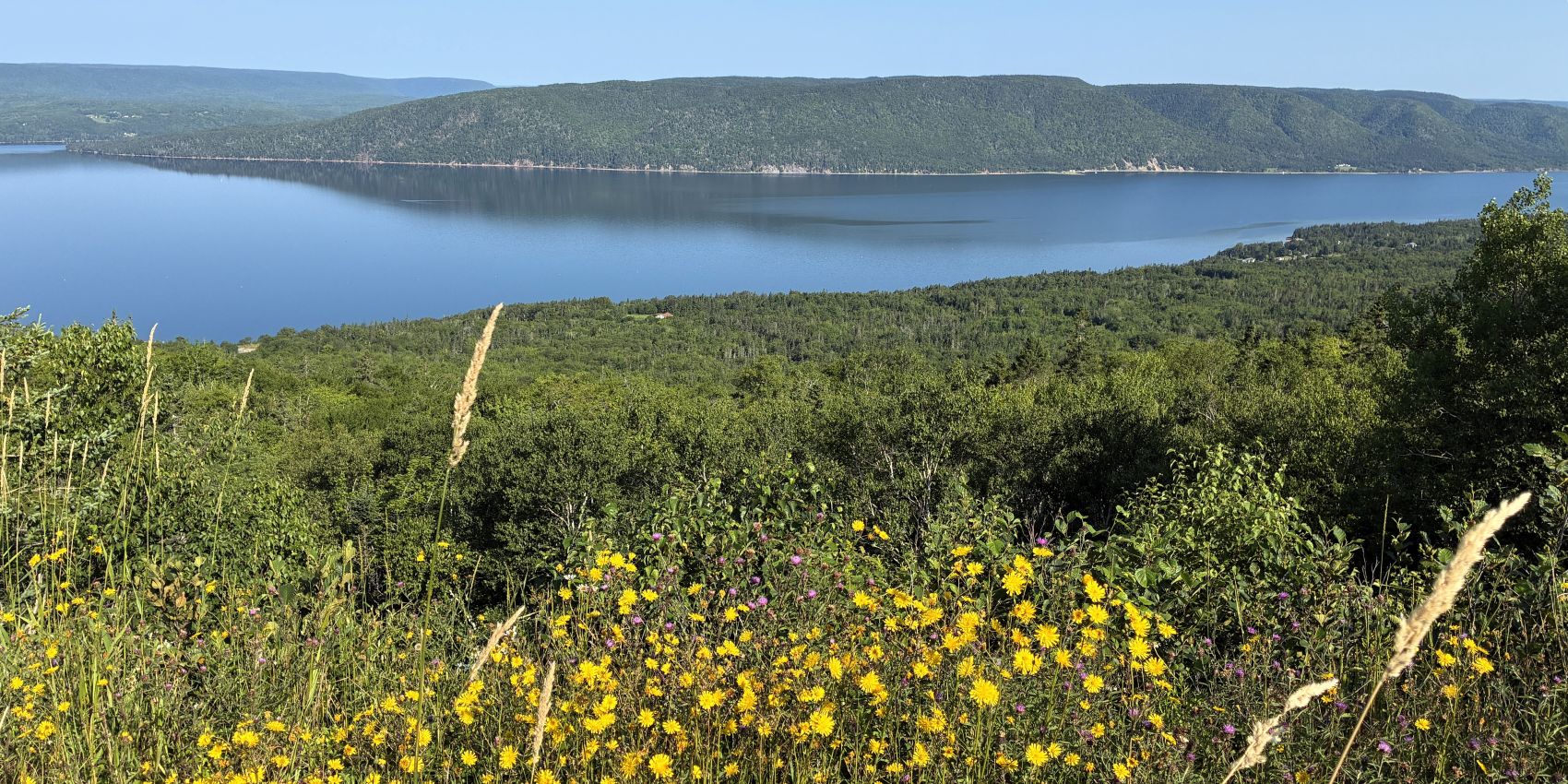
We had a “free day” on August 7 and thought we would visit the Alexander Graham Bell National Historic Site and drive along some of the “World Famous Cabot Trail” (we had not heard about it before this trip!) We came by St. Ann’s Overlook again and got a better shot of the view of the bay.
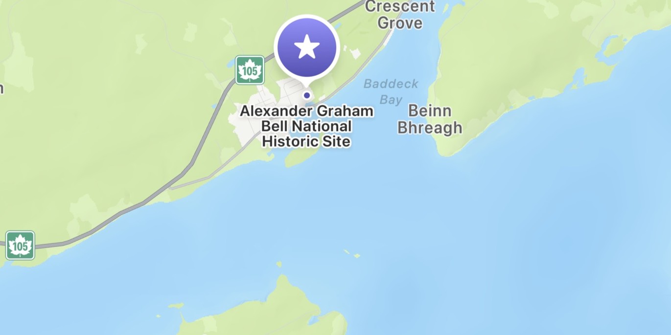
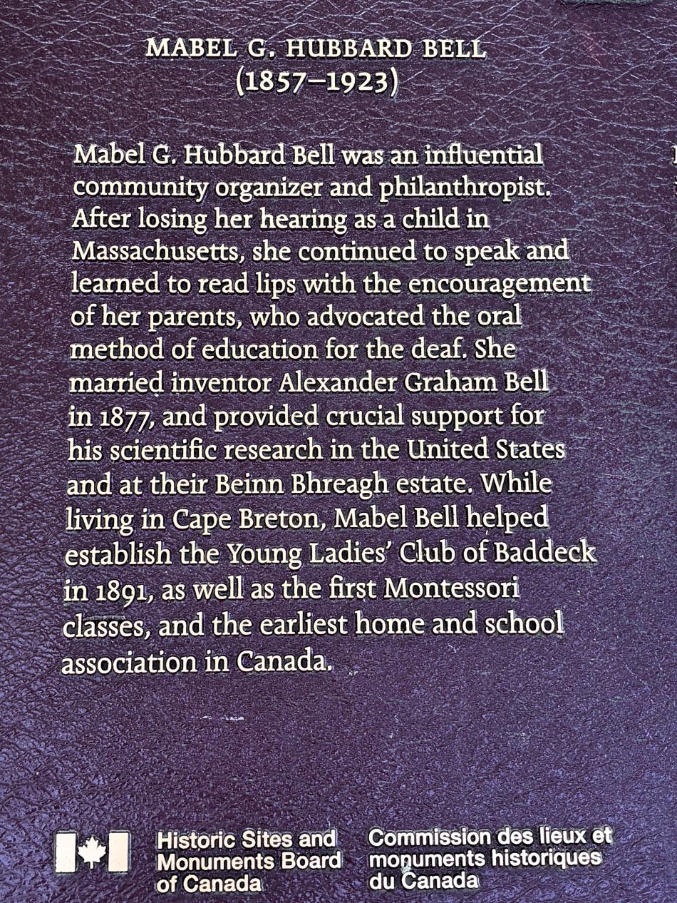
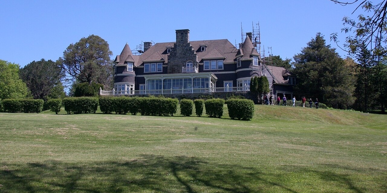
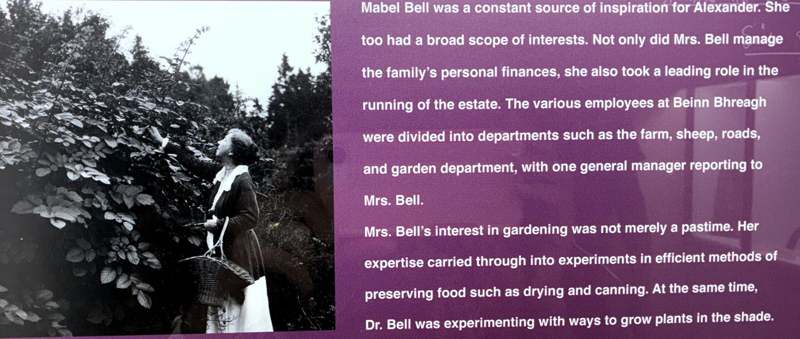
The Alexander Graham Bell National Historic Site in Baddeck, NS is located across the bay from Beinn Bhreagh — a 600-acre estate owned by Bell and his wife Mabel which overlooks Bras d’Or Lake. The estate remains privately owned by their descendants.
The first thing we came across was this sculpture of an airplane, which was surprising!
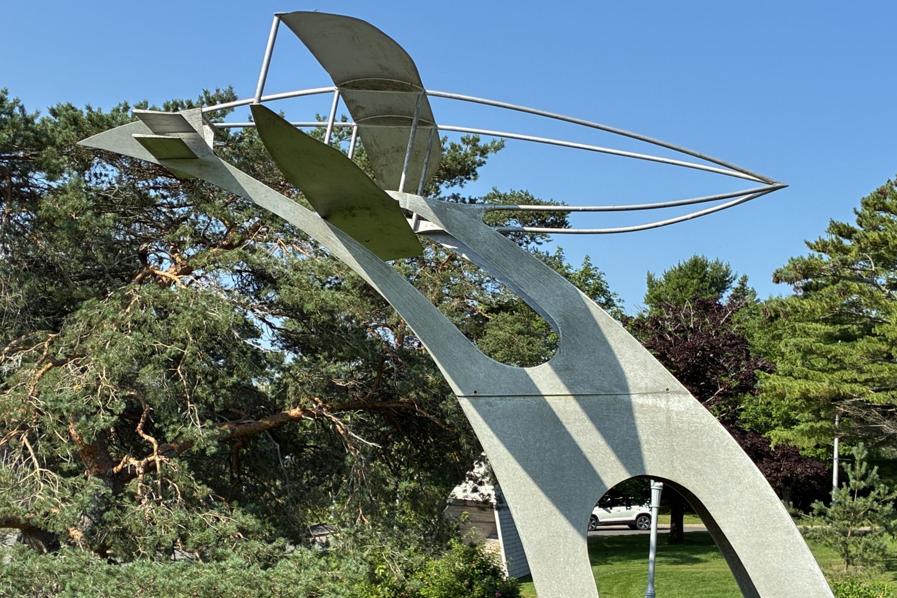
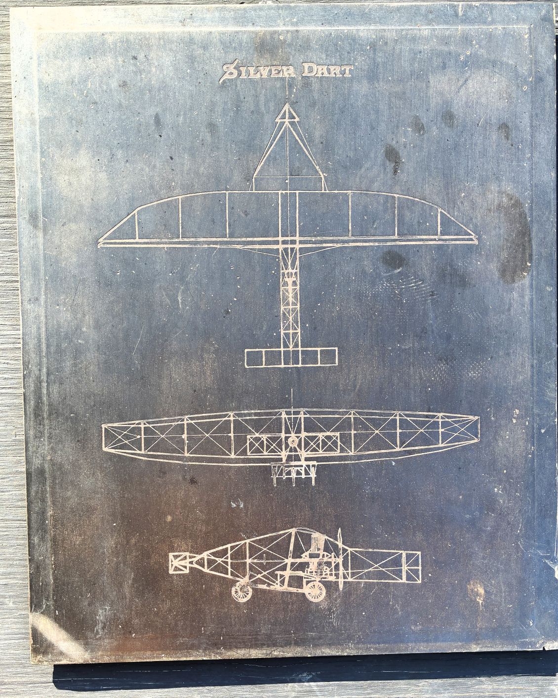
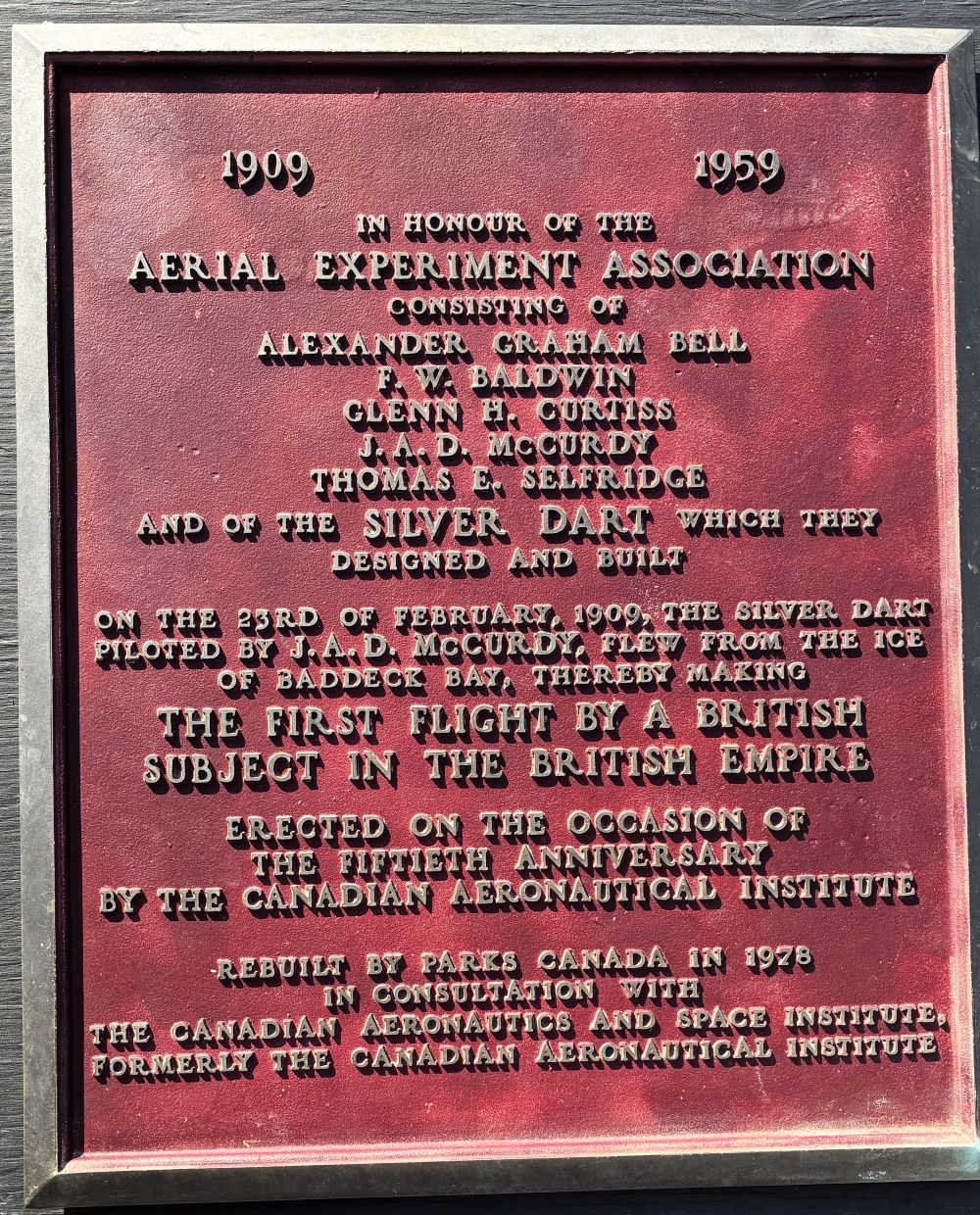
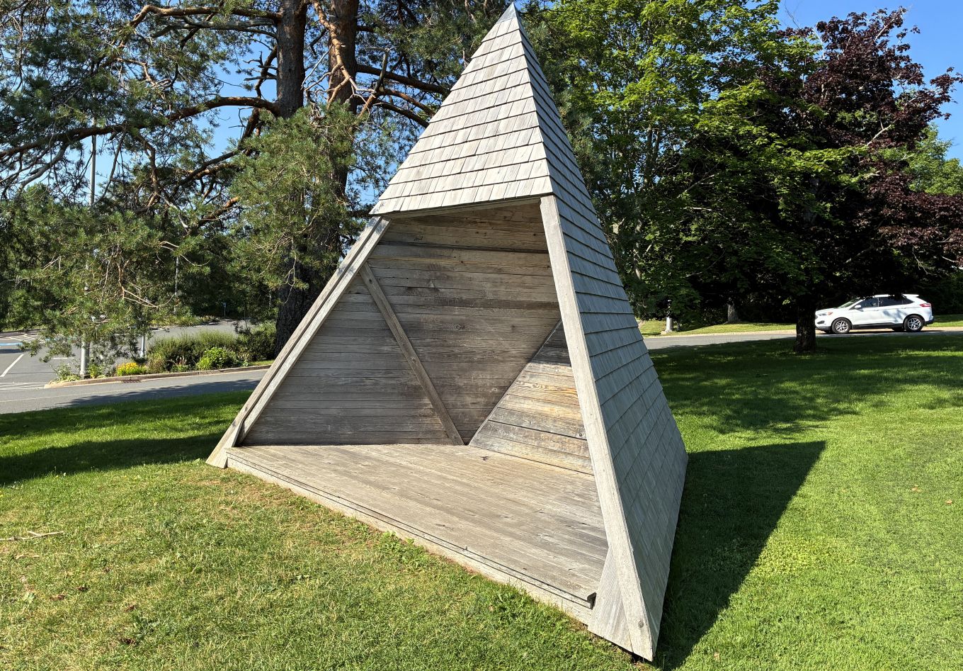
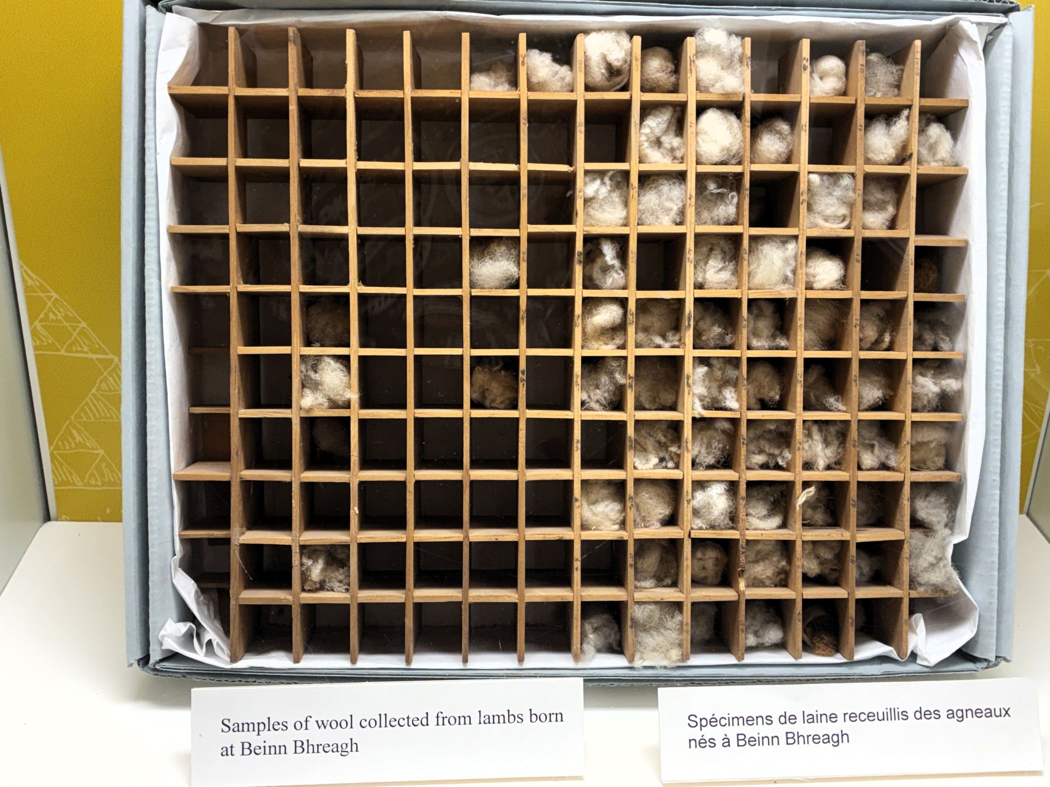
And then there was this odd wooden pyramid structure – apparently Bell sat in a tetra shelter to note his experiment results. His work with sheep helped local farmers!
So, before we got into the museum, we already found out that Alexander Graham Bell did more than just invent the telephone. These plaques tell more…
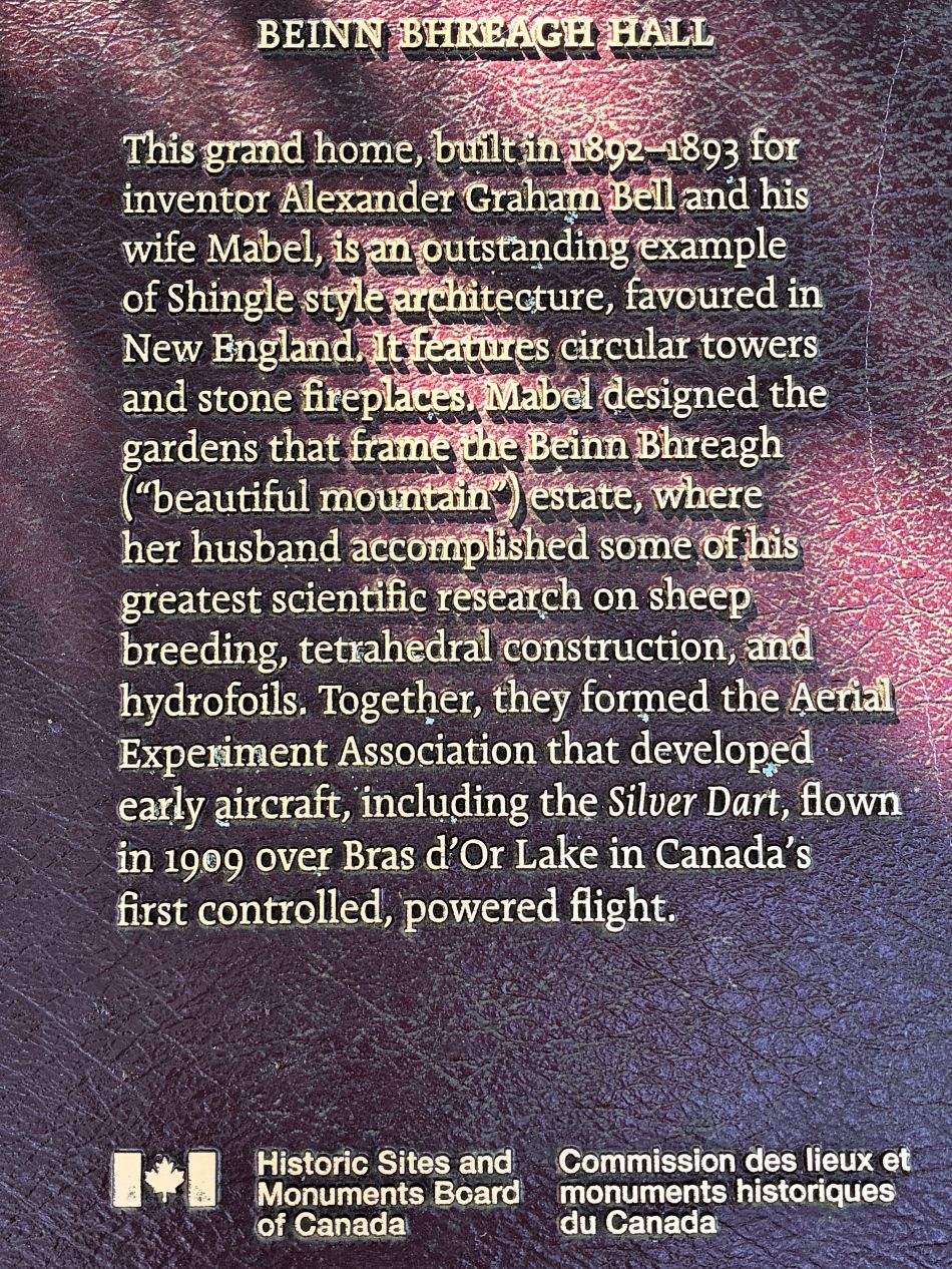
Beinn Bhreagh Hall
A large cairn was erected at the museum by the Canadian Chapters of the Telephone Pioneers of America.
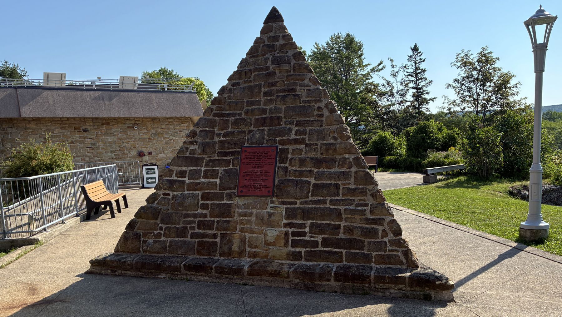
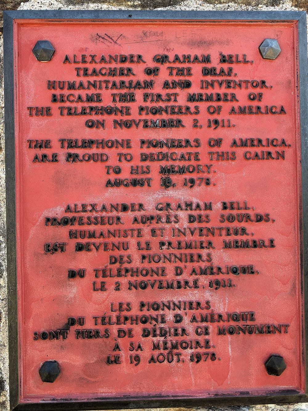
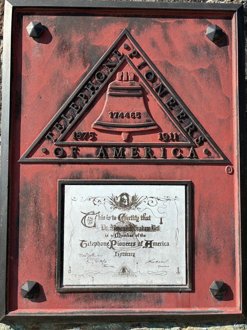
And we entered the museum!
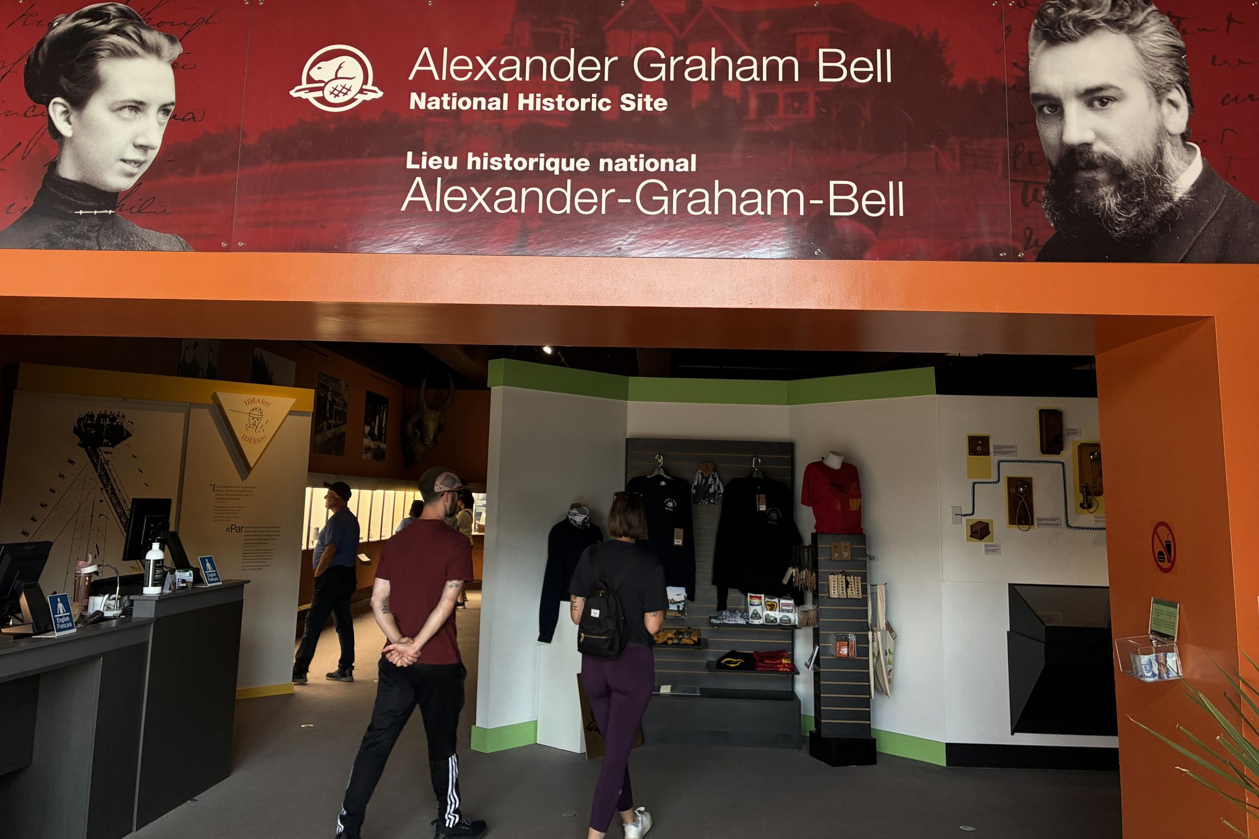
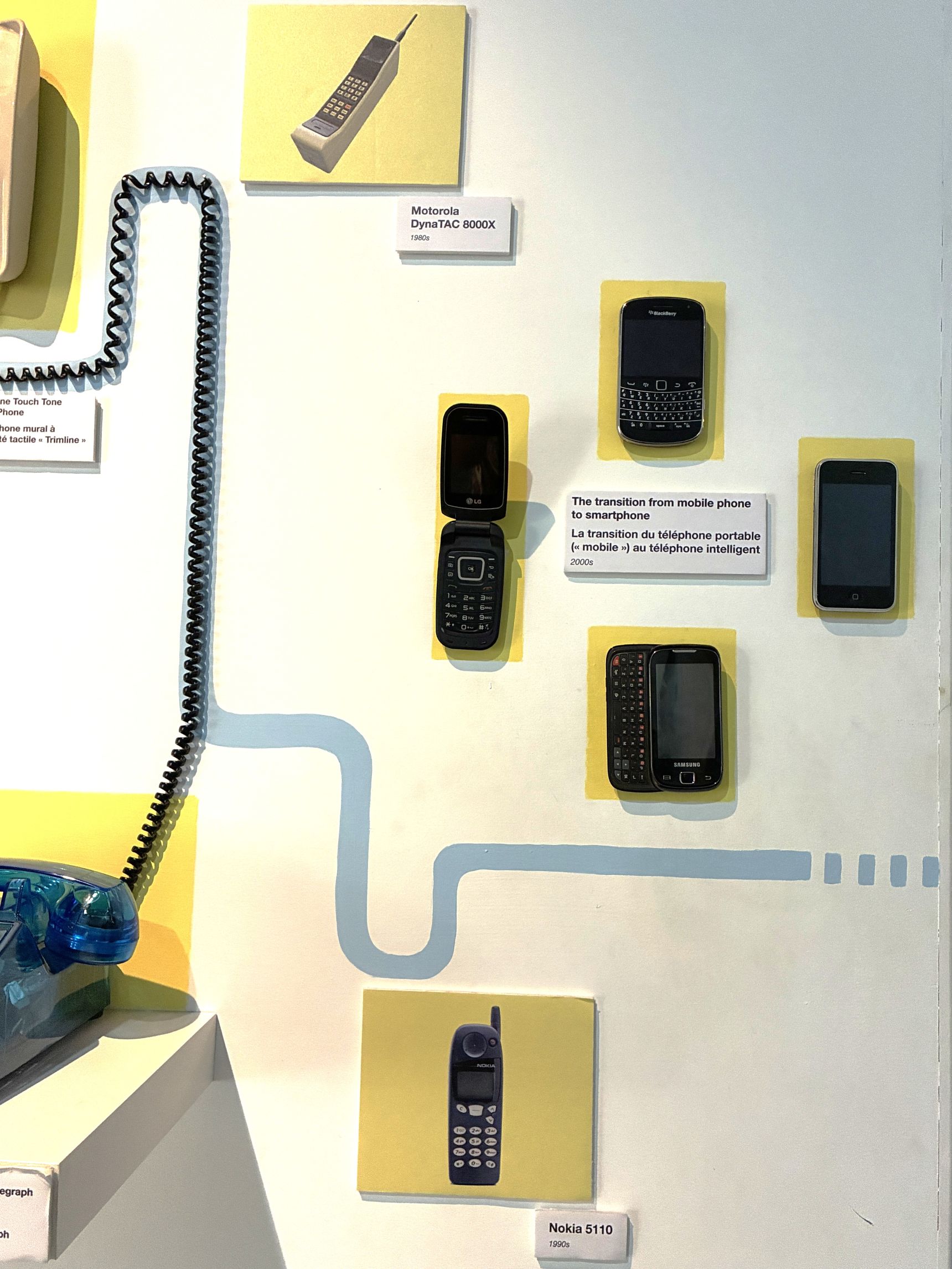
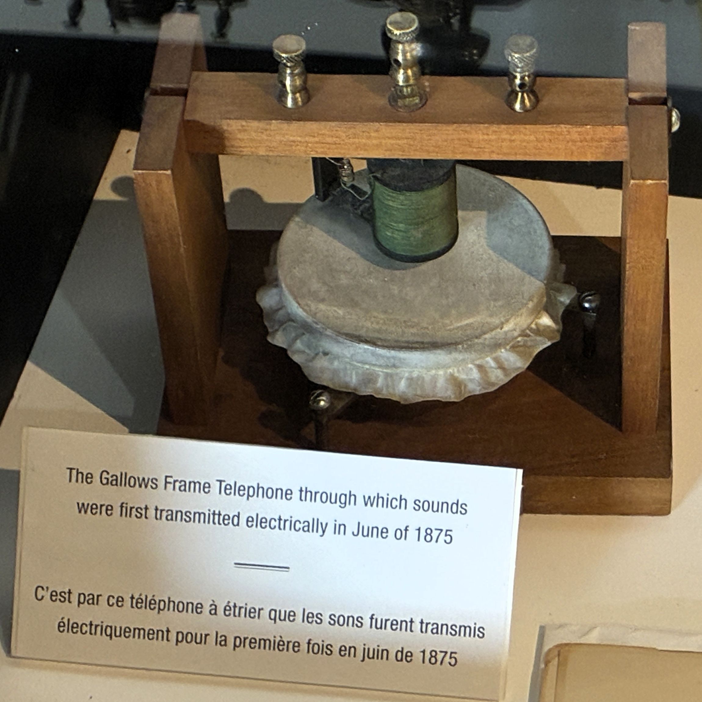
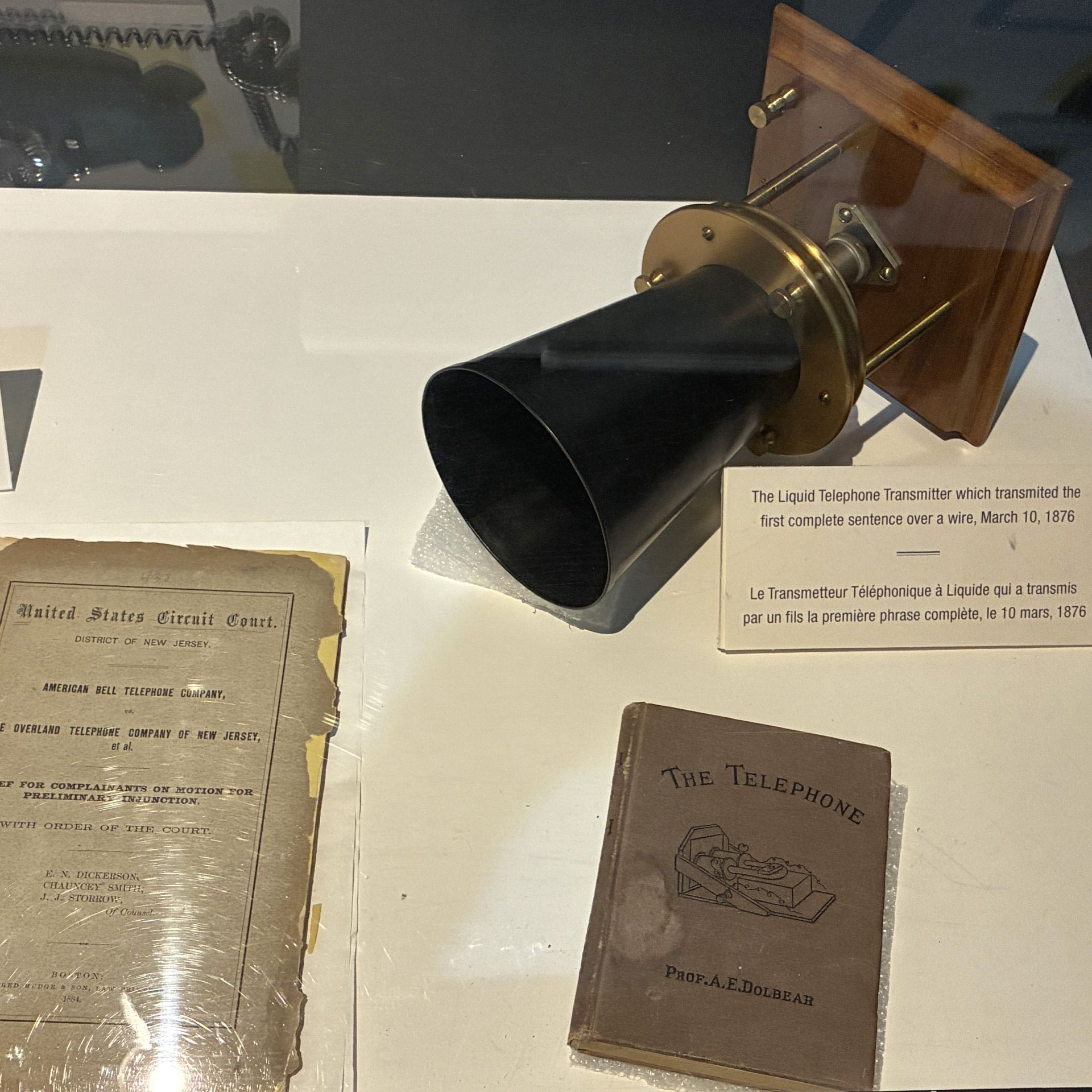
There was a display showing the history and progression of the telephone over the years. From the first commercial telephone used in 1877 up to the smart phones we use today!
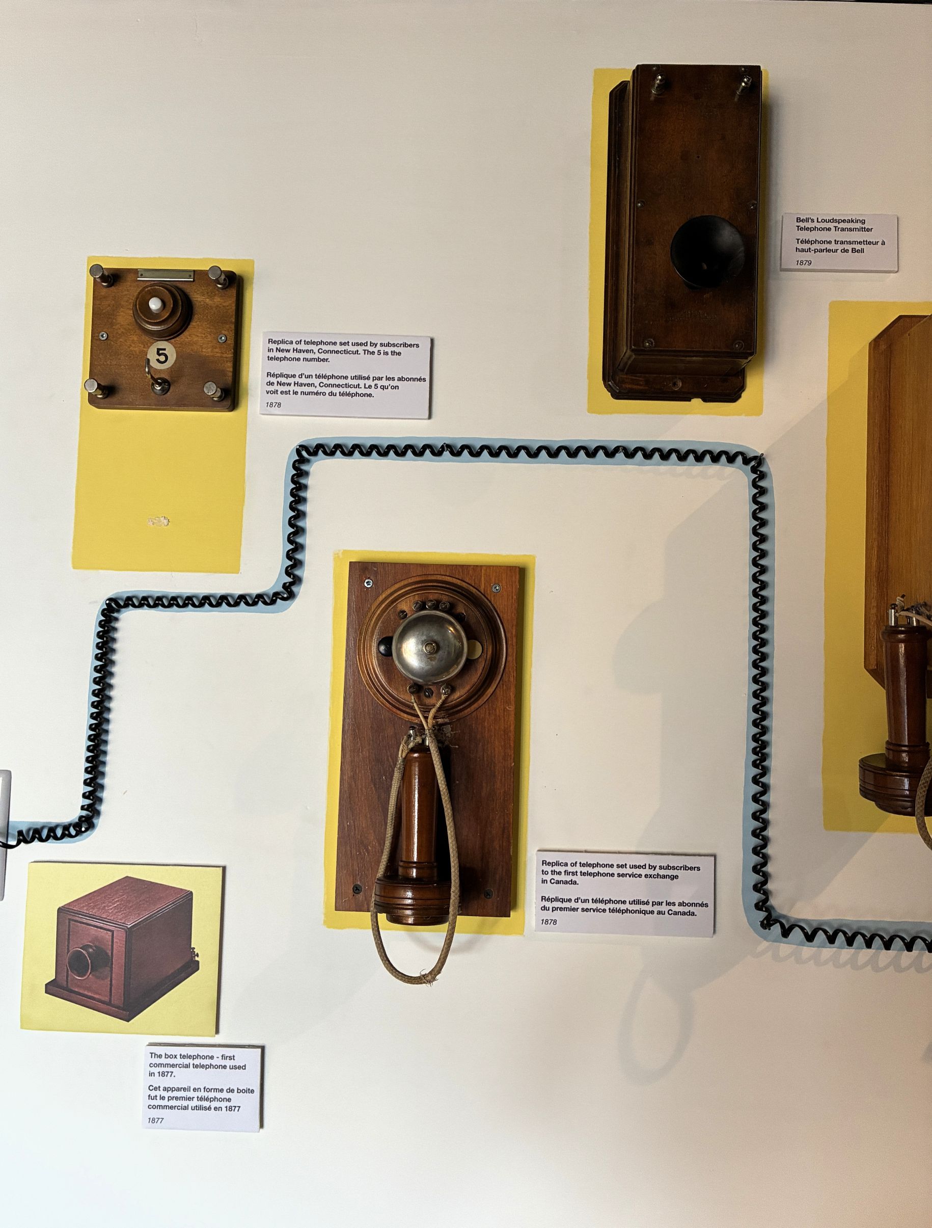
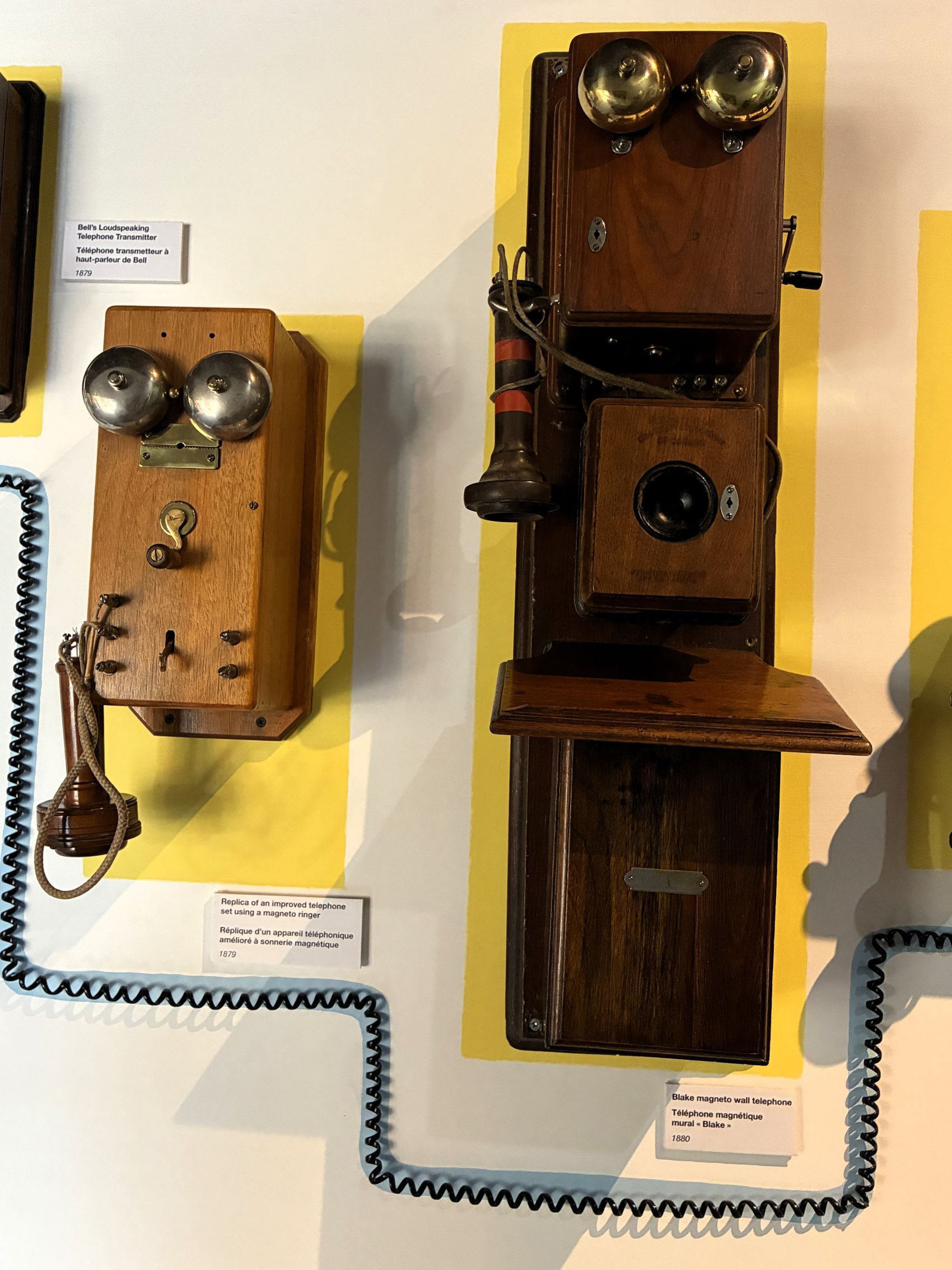
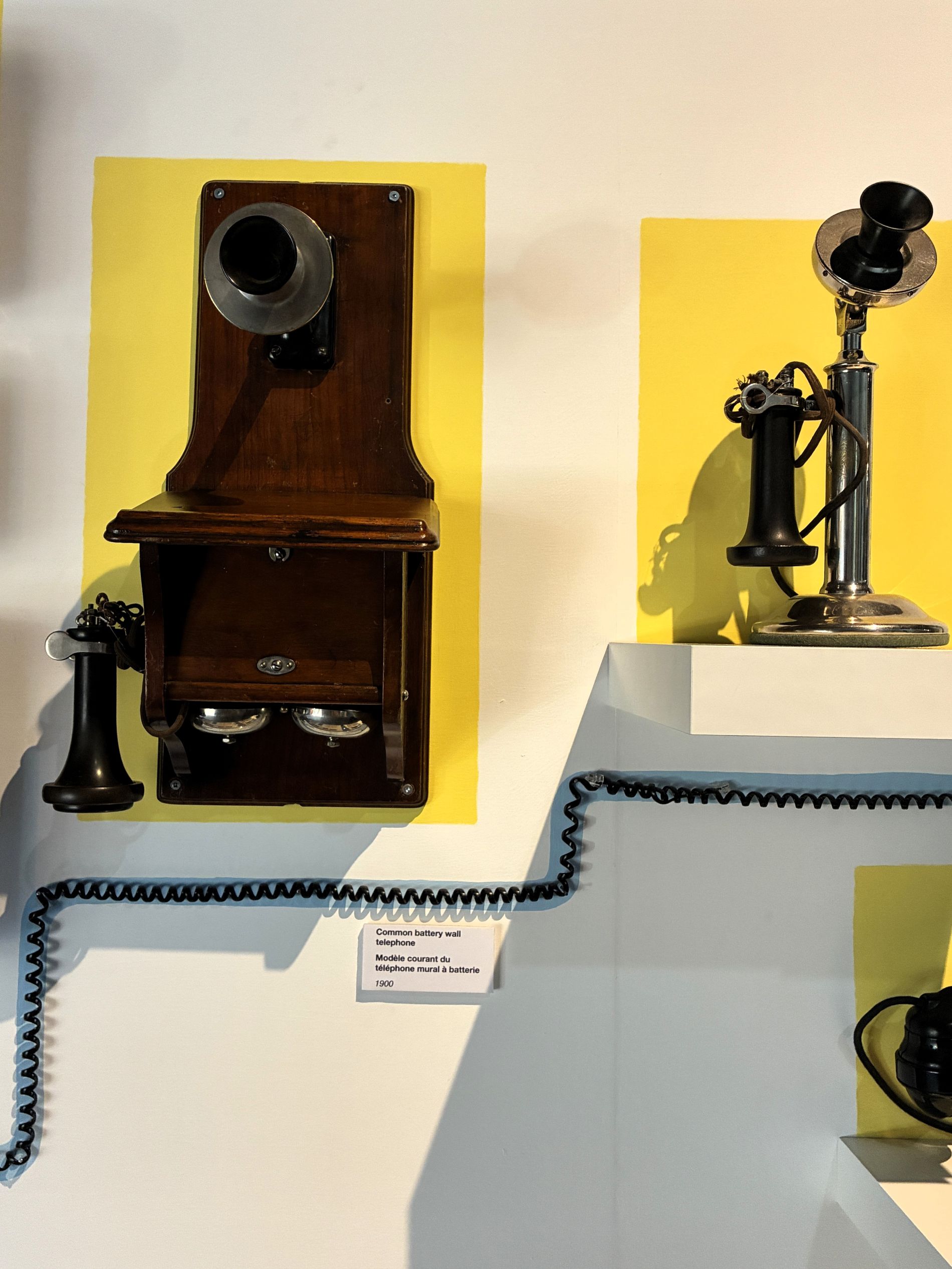
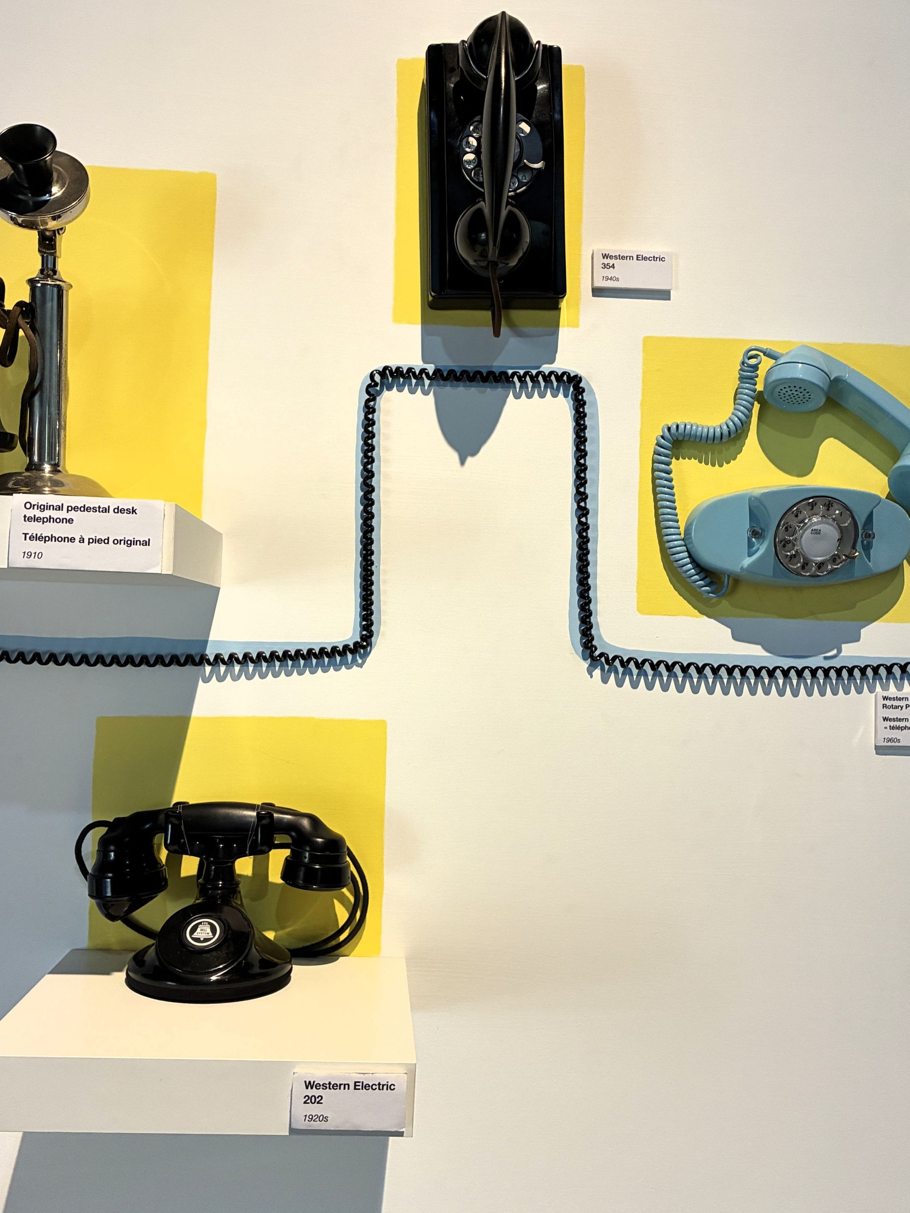
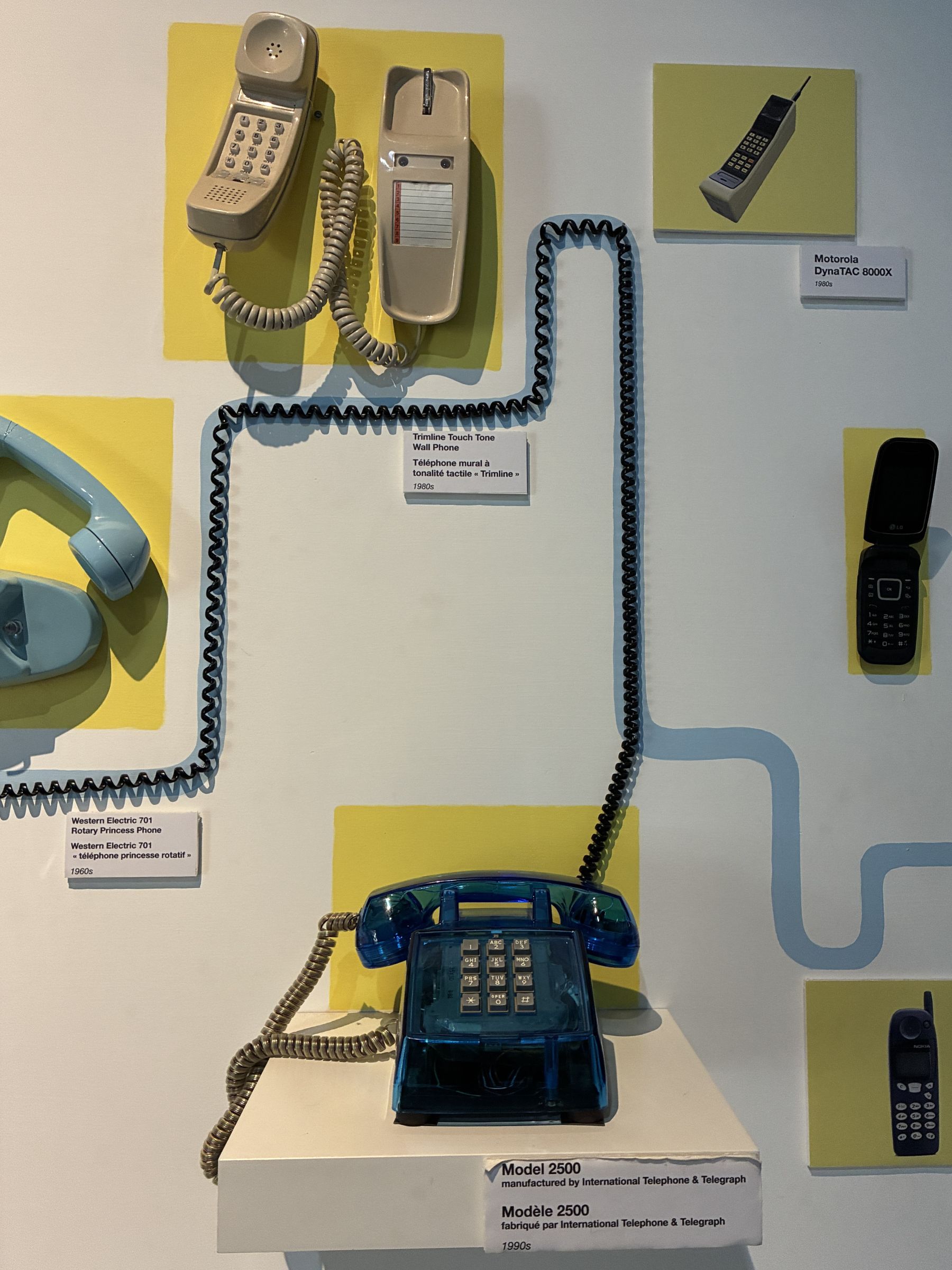
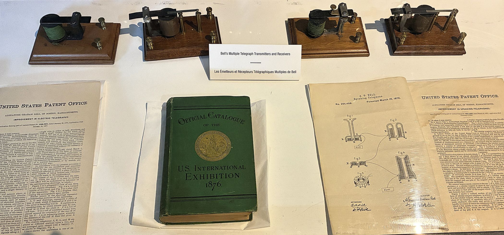
Bell’s Multiple Telegraph Transmitters and Receivers
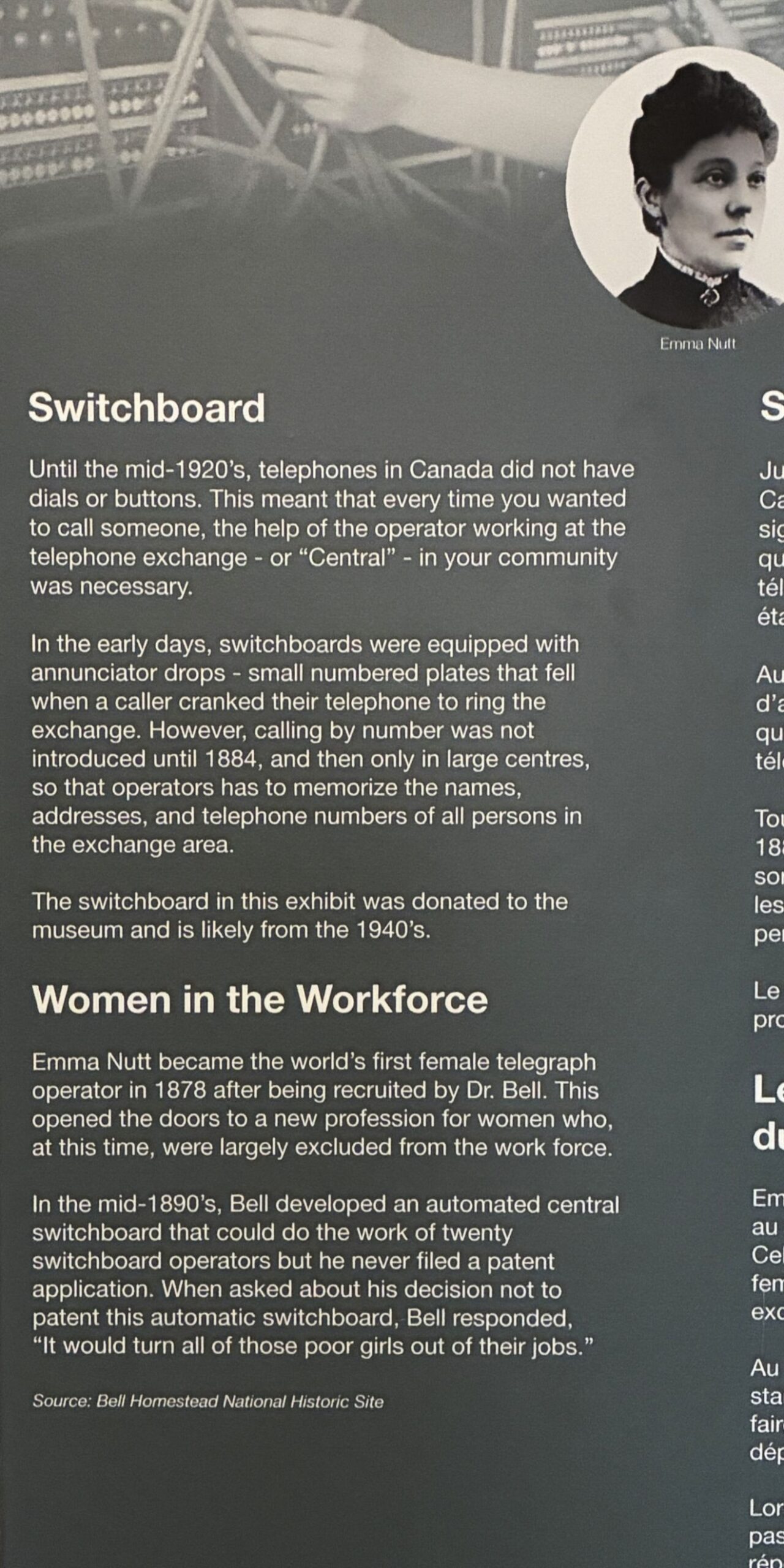
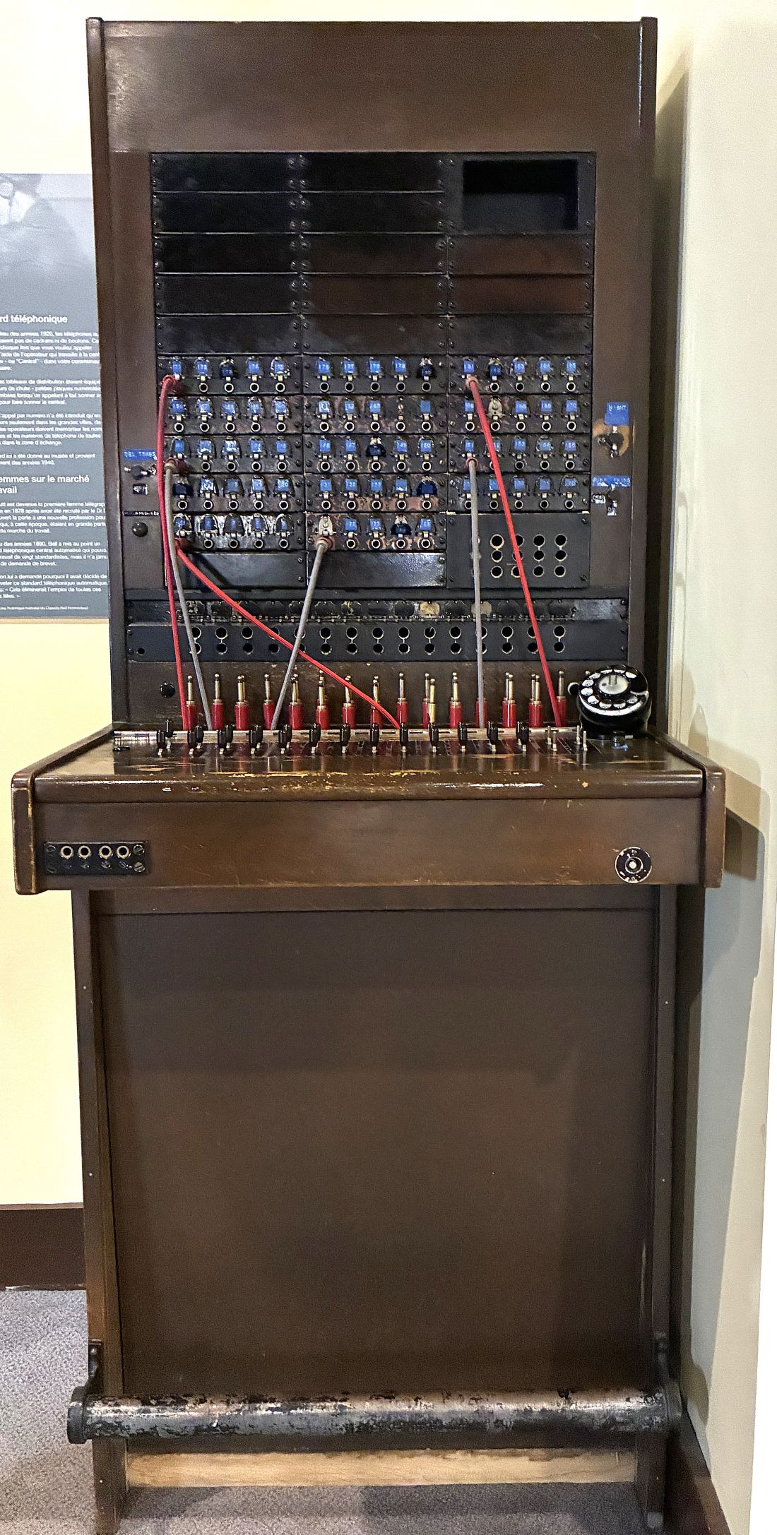
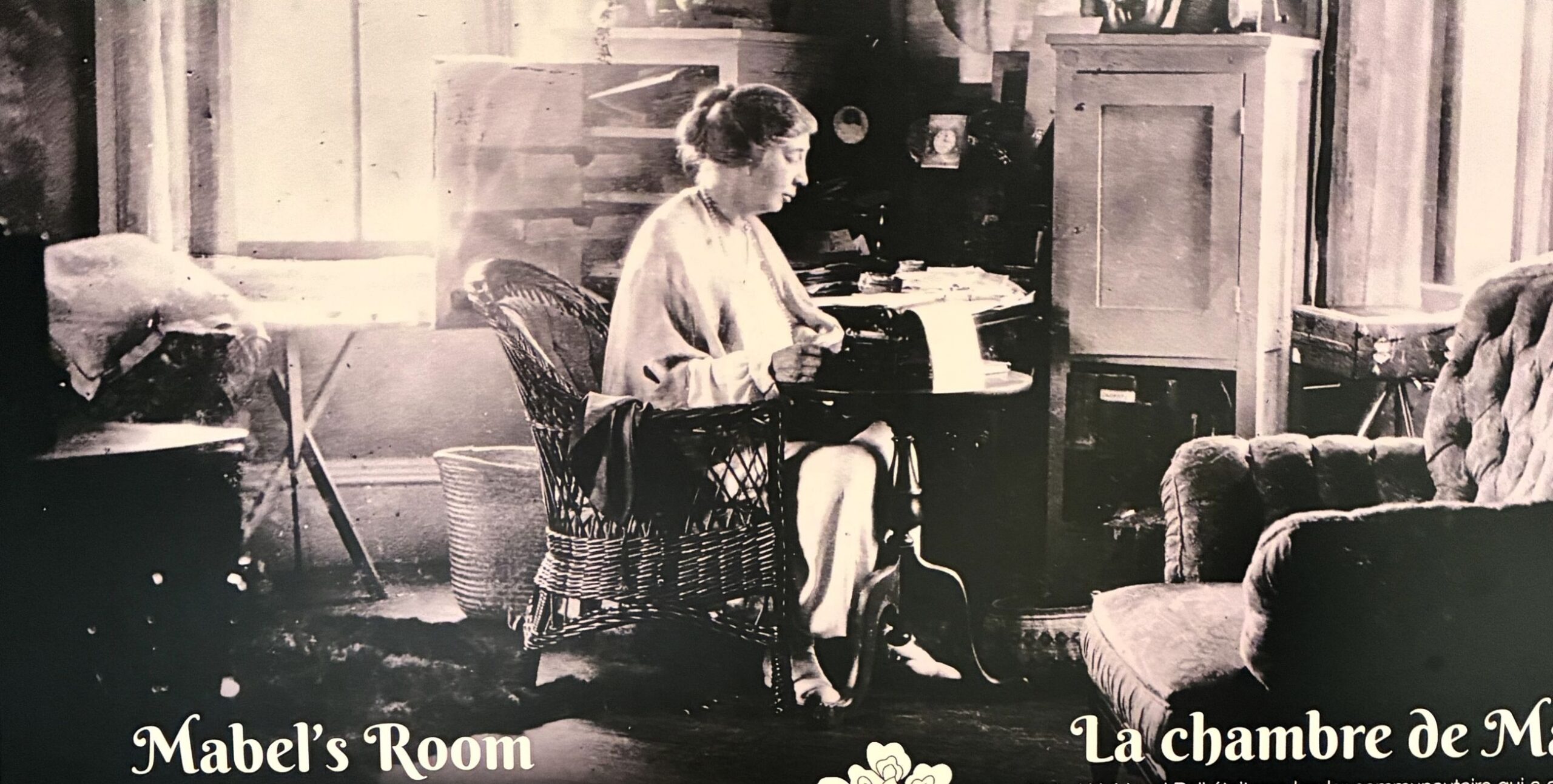
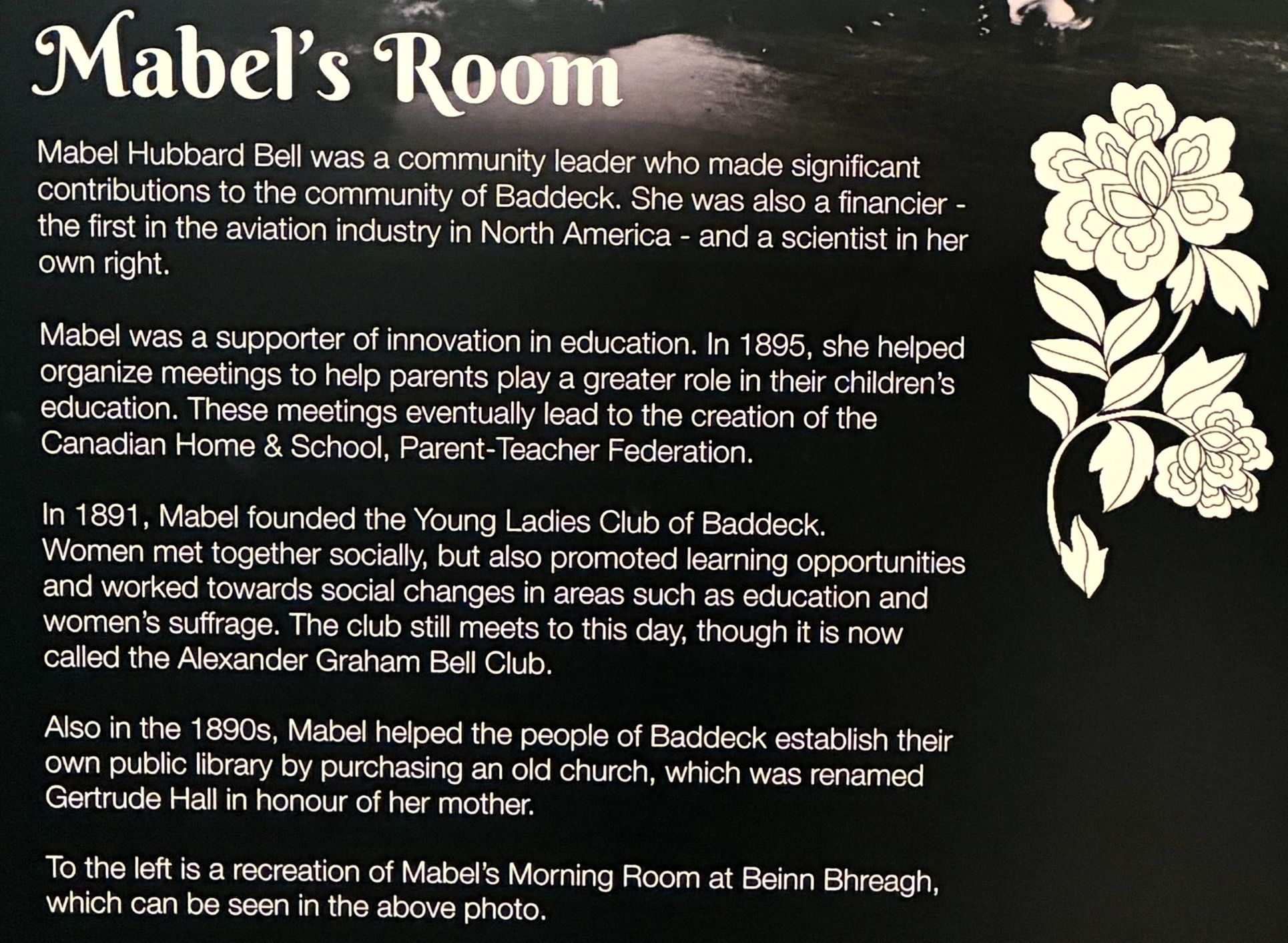
Mabel Bell was also a scientist and had a broad scope of interests.
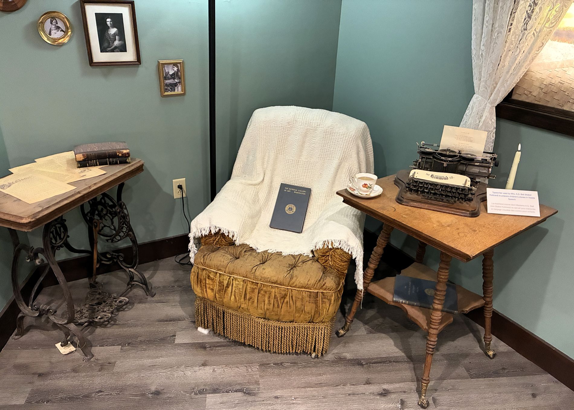
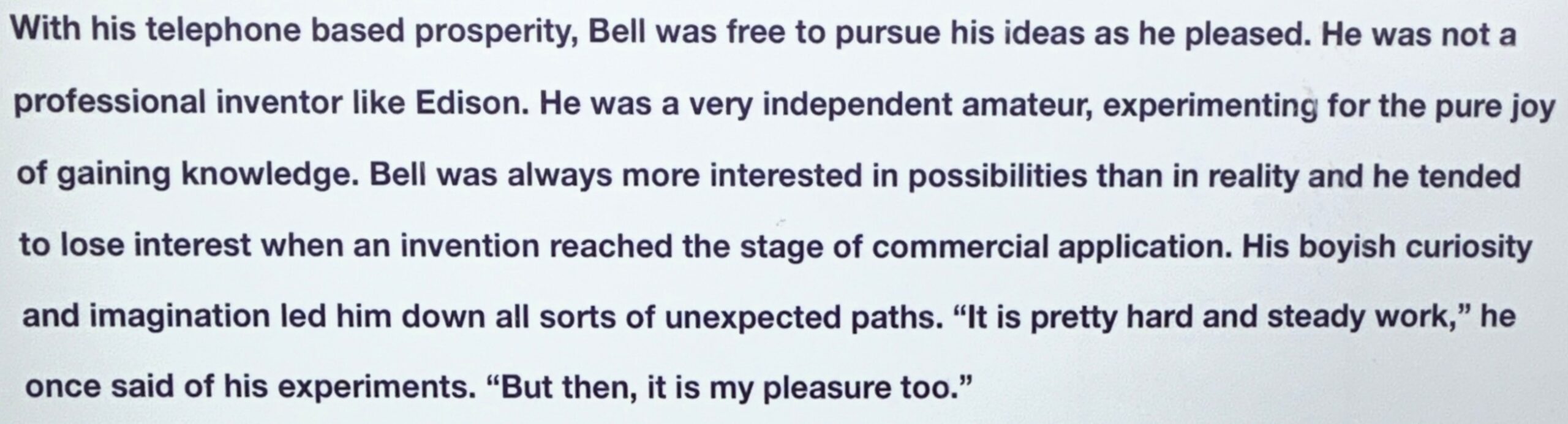
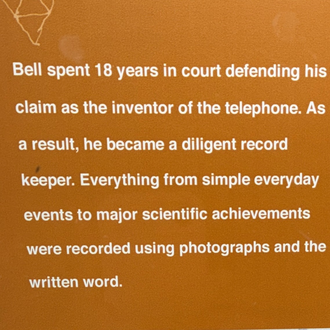
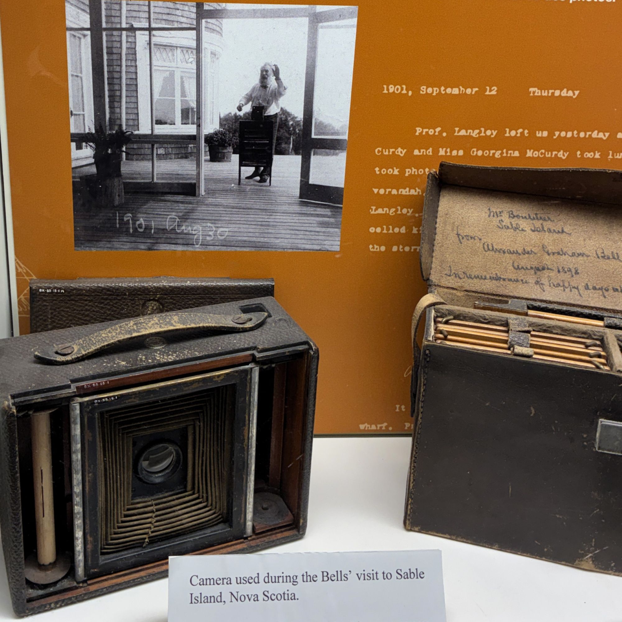

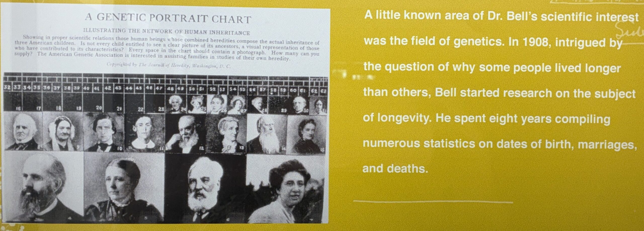
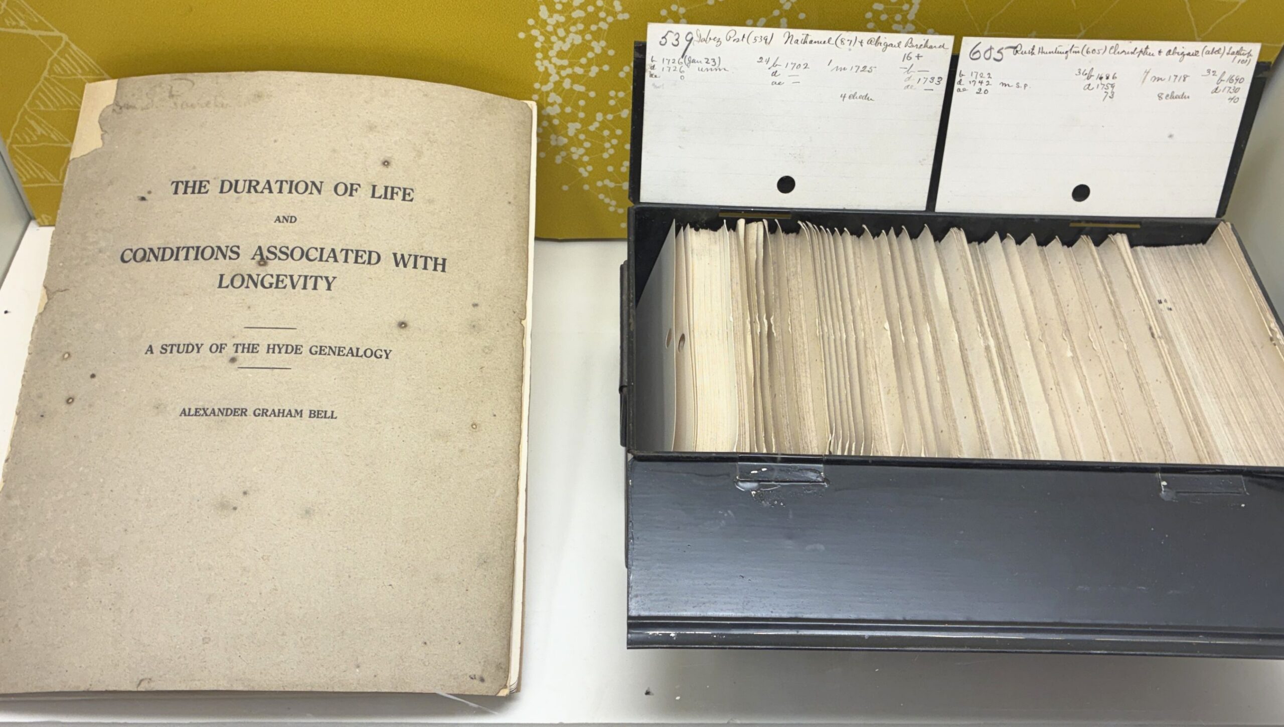

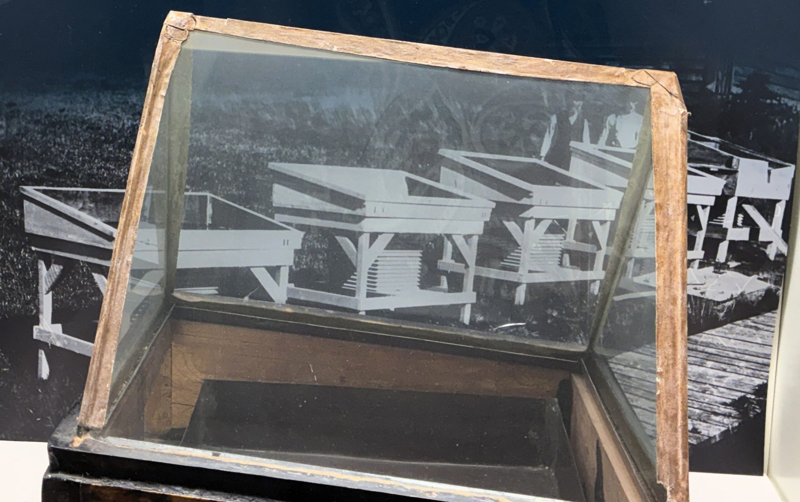
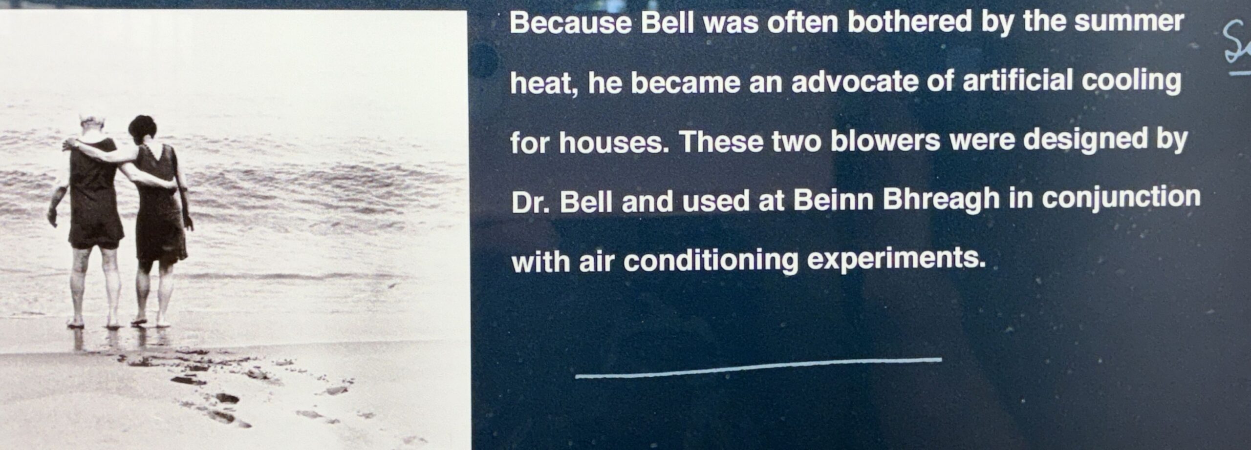
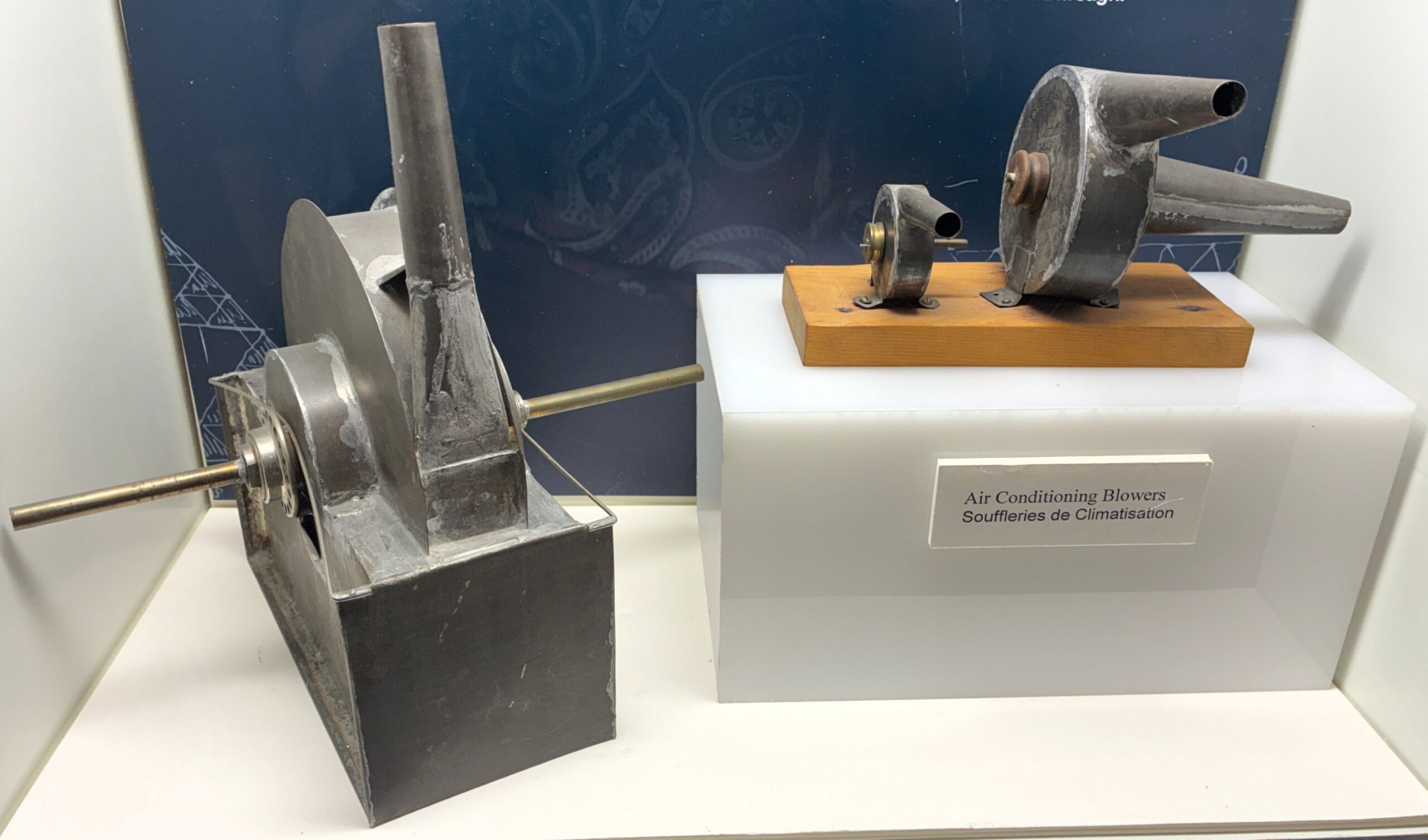
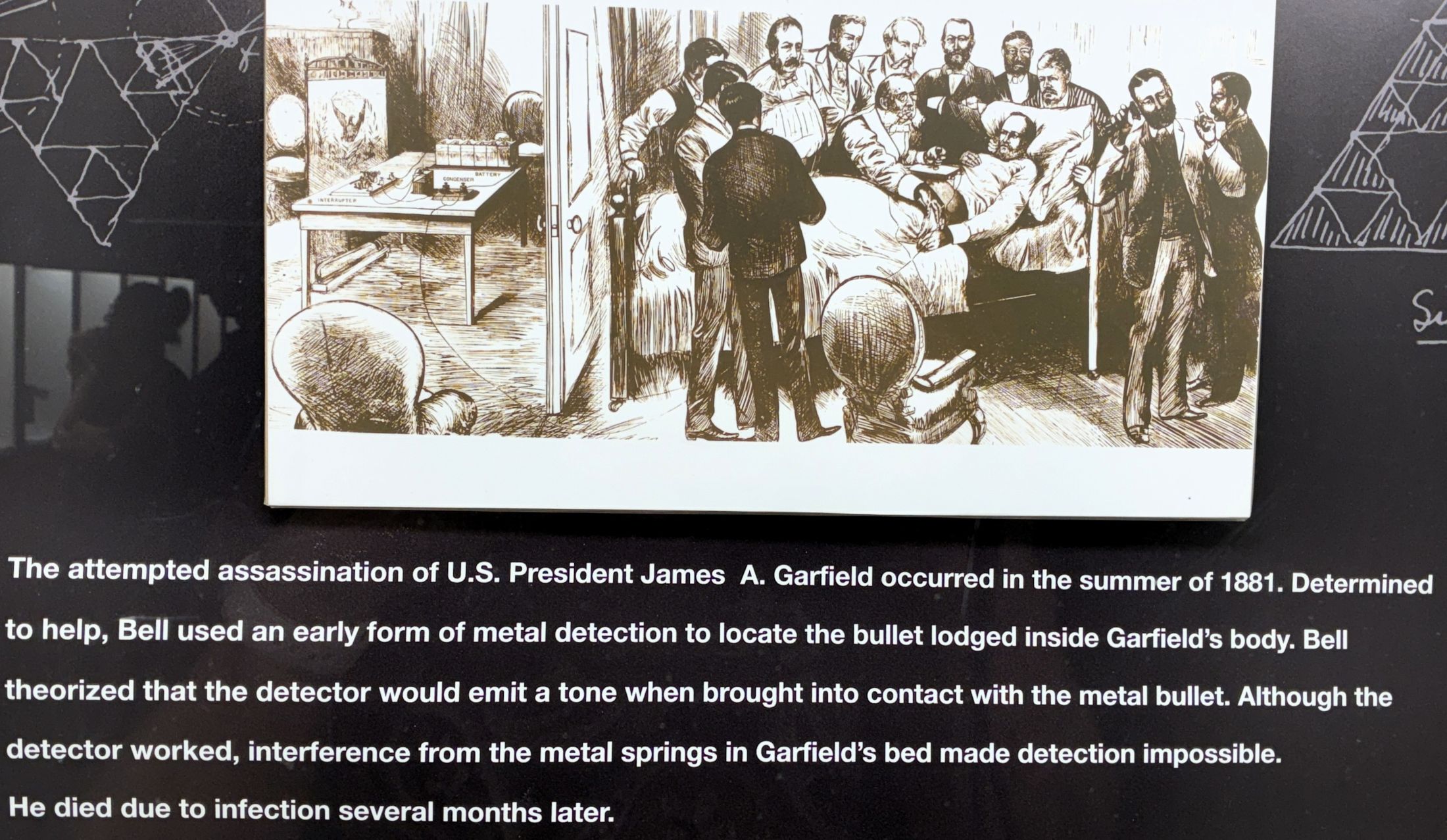
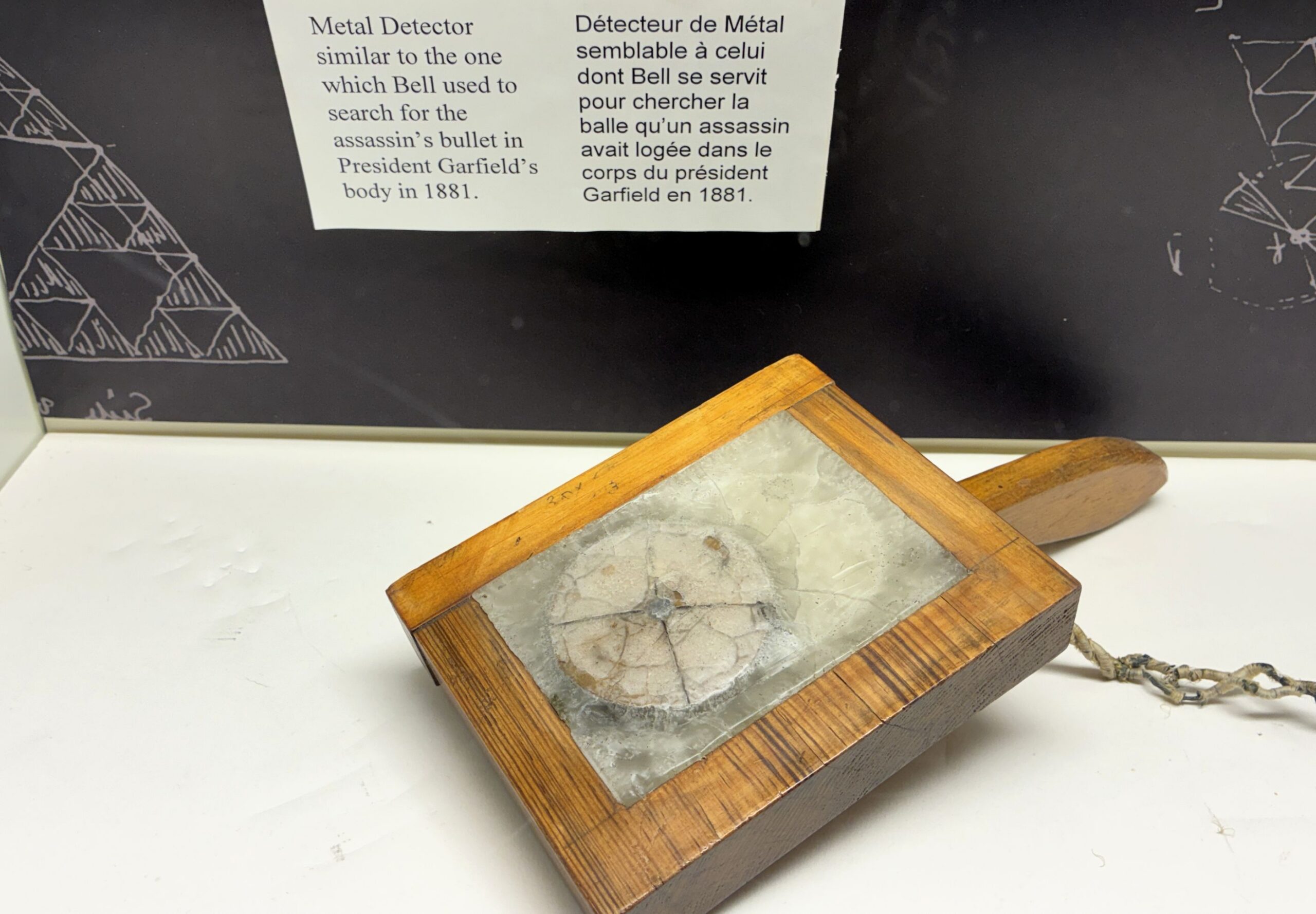

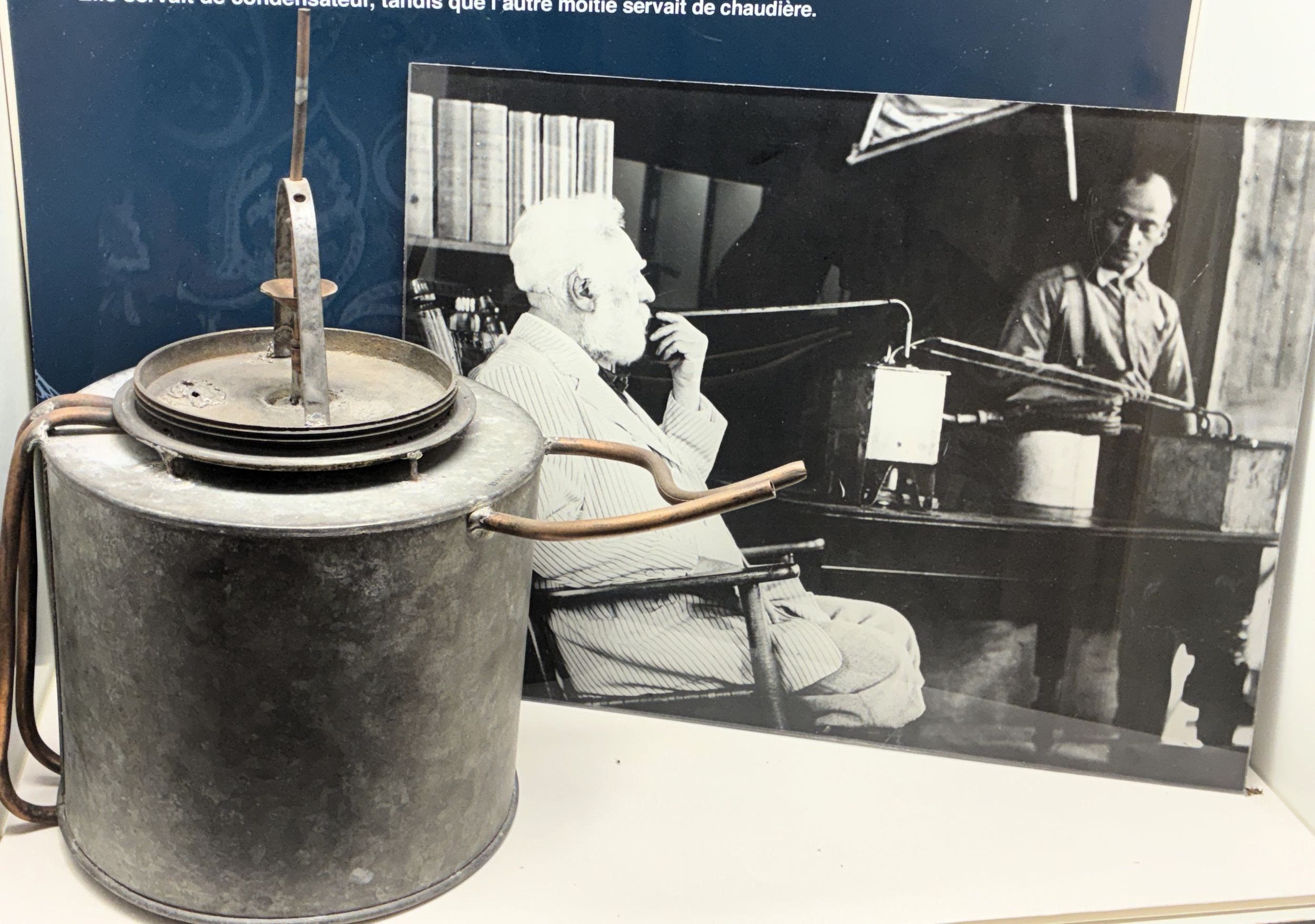
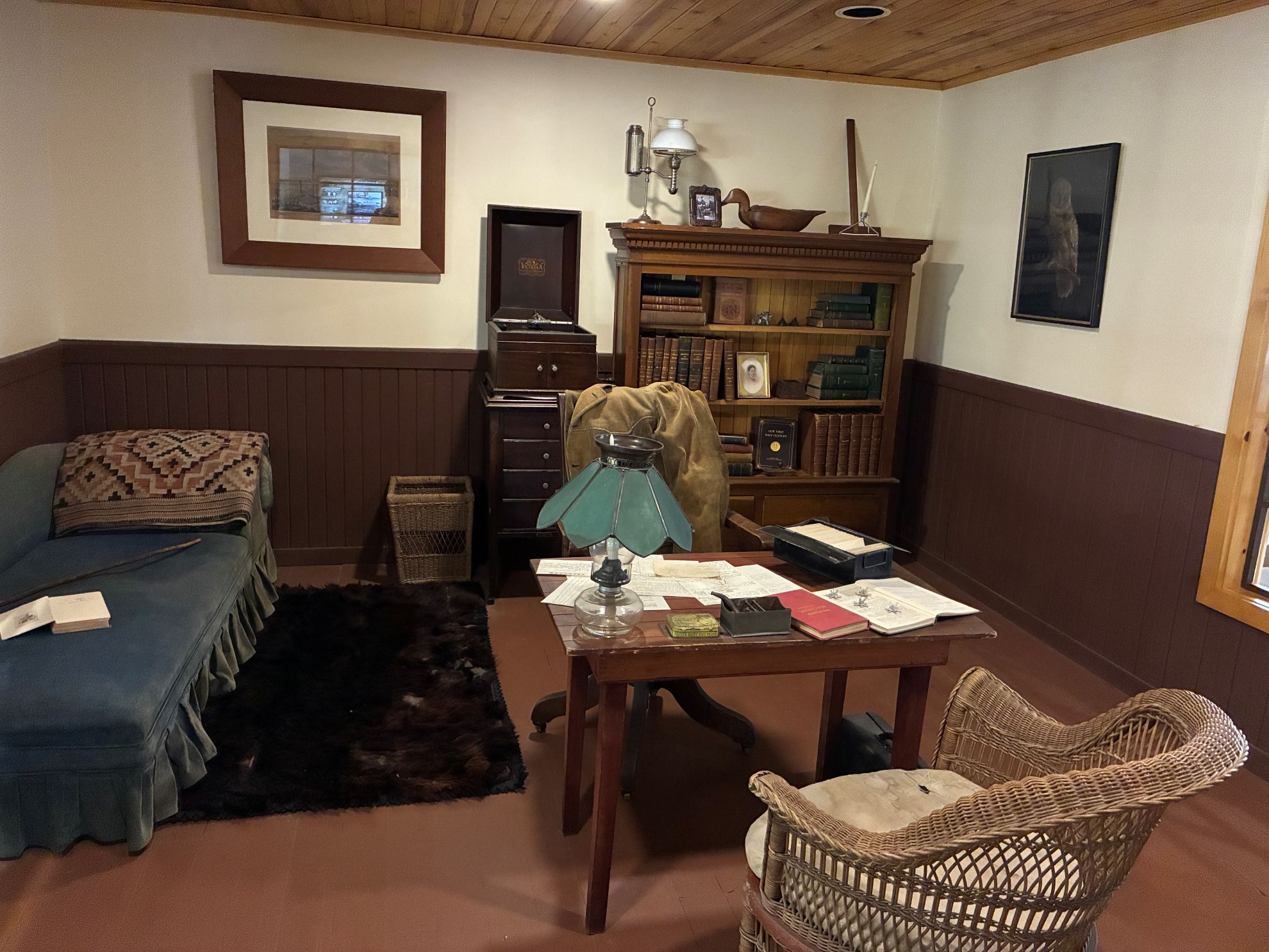
A re-creation of Dr. Bell’s office at Beinn Bhreagh.
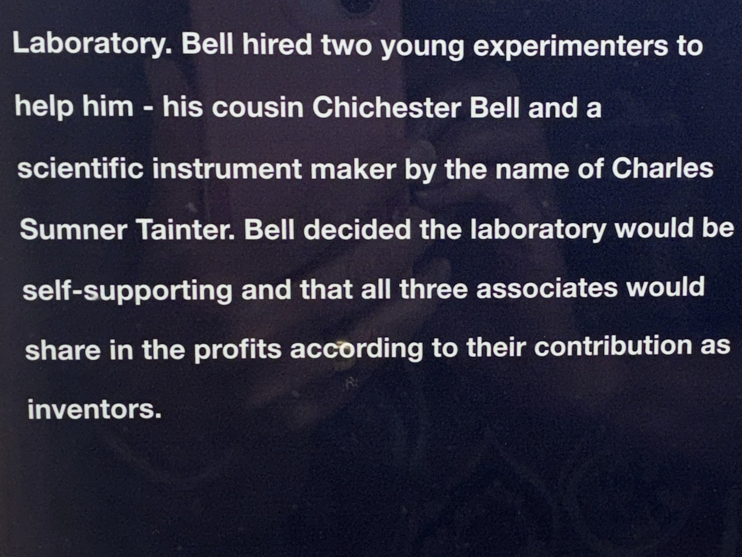
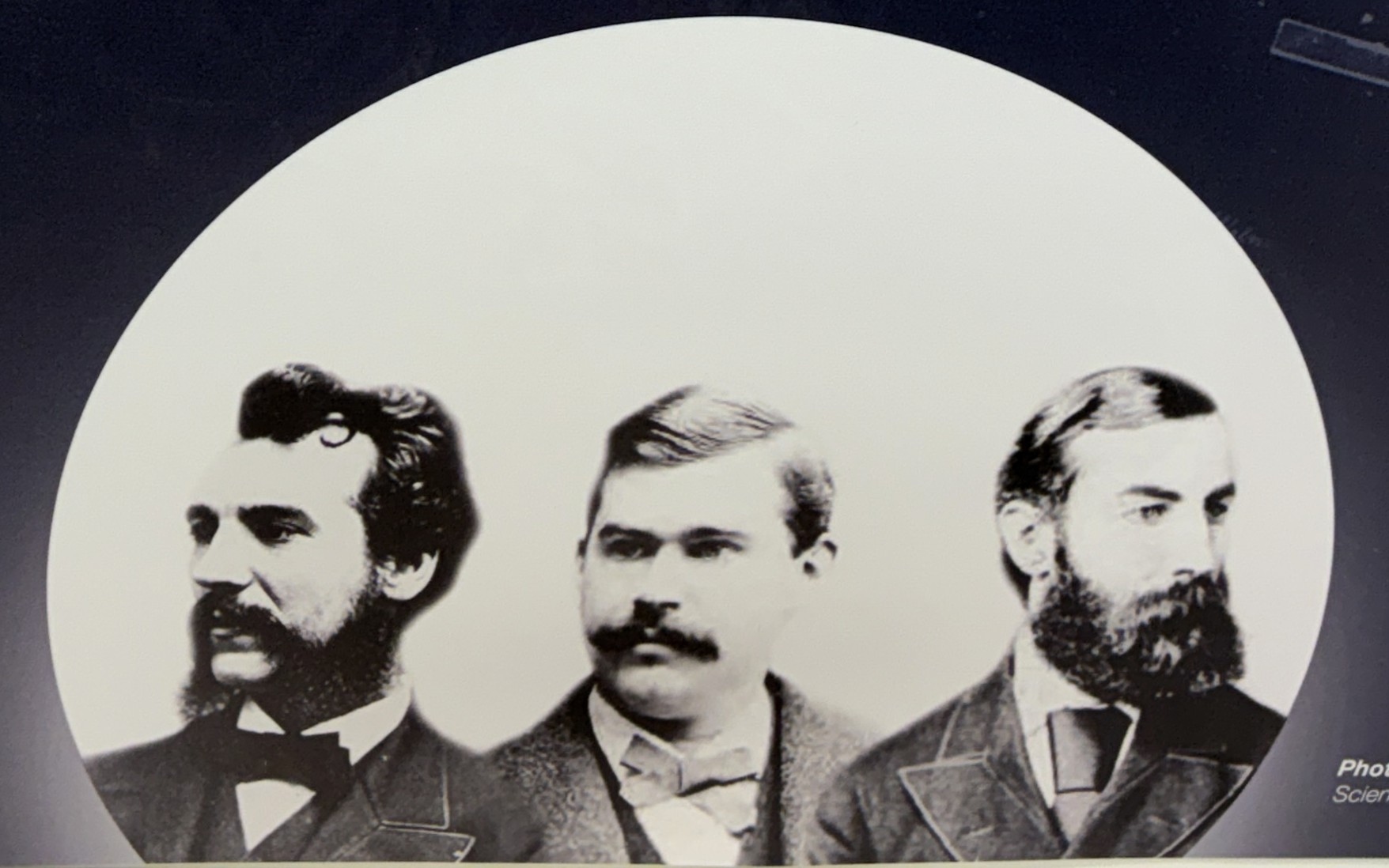
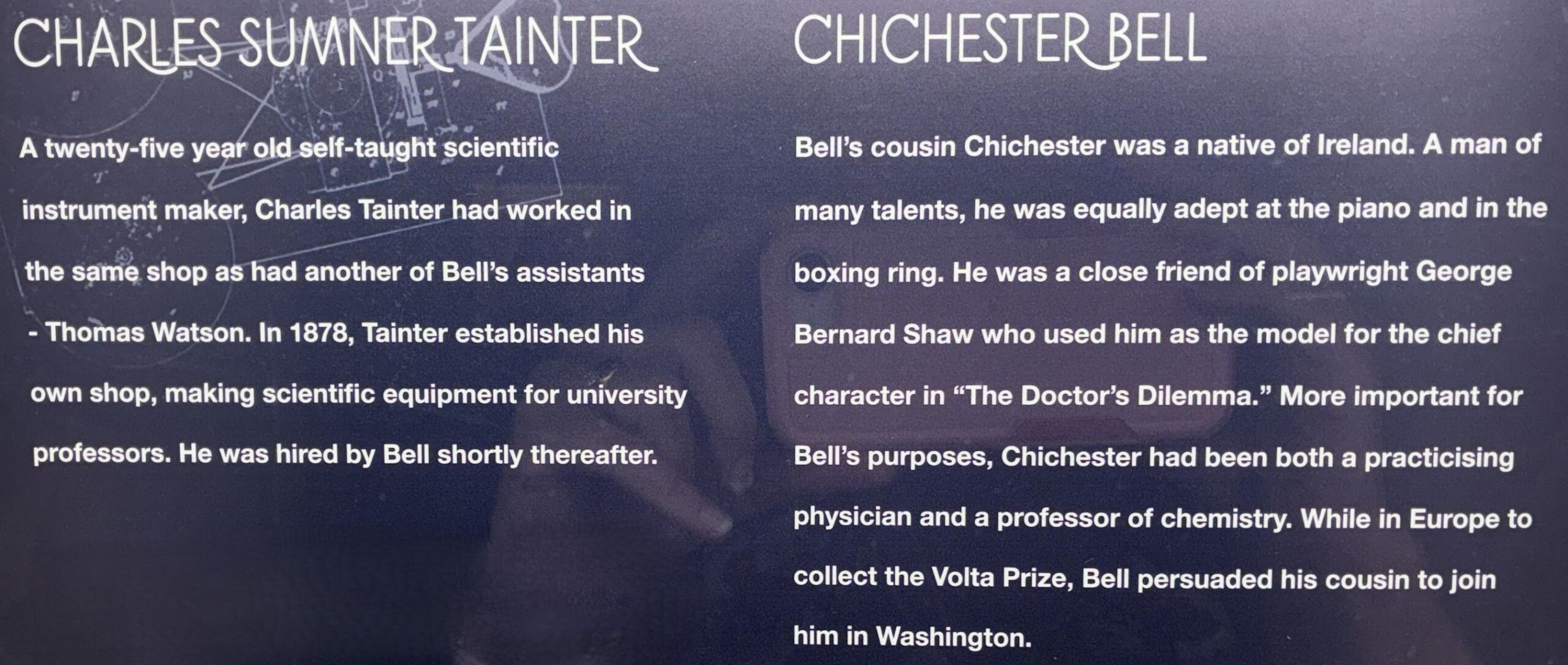
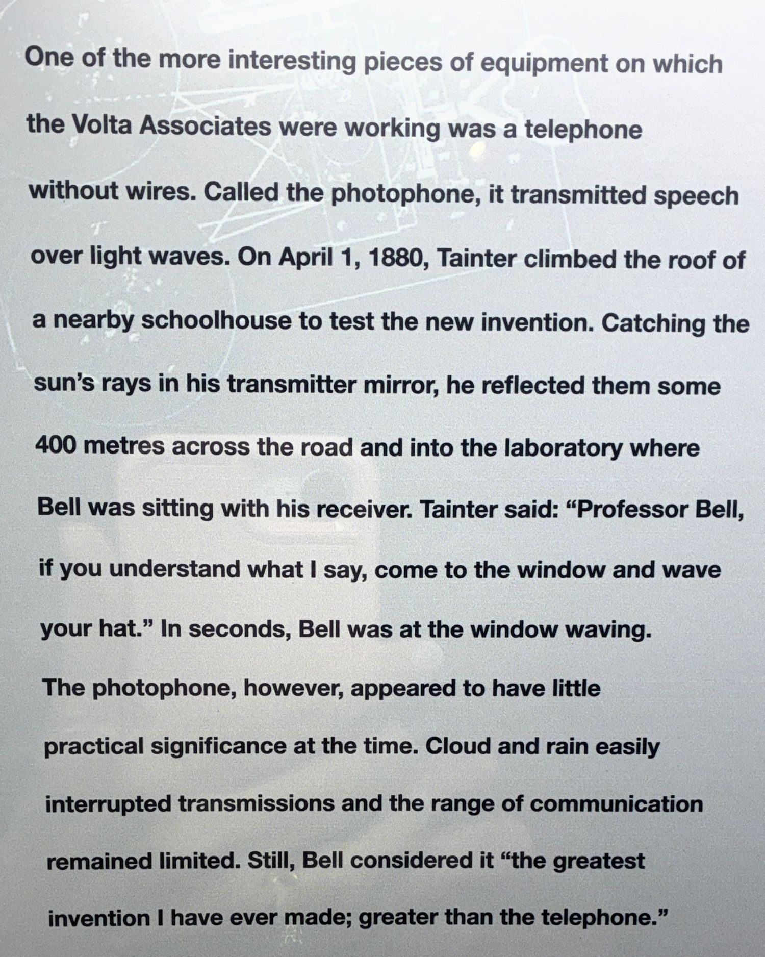
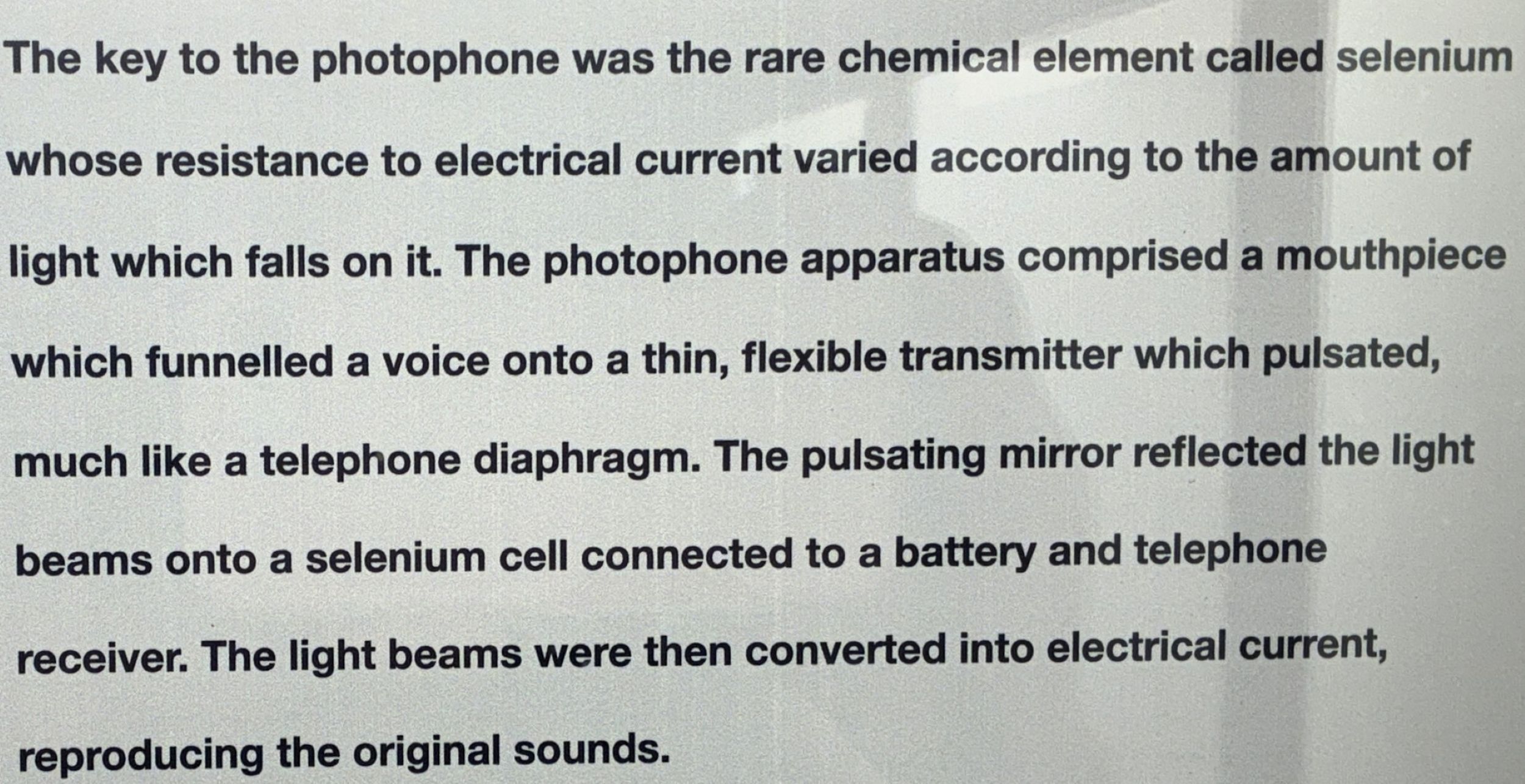
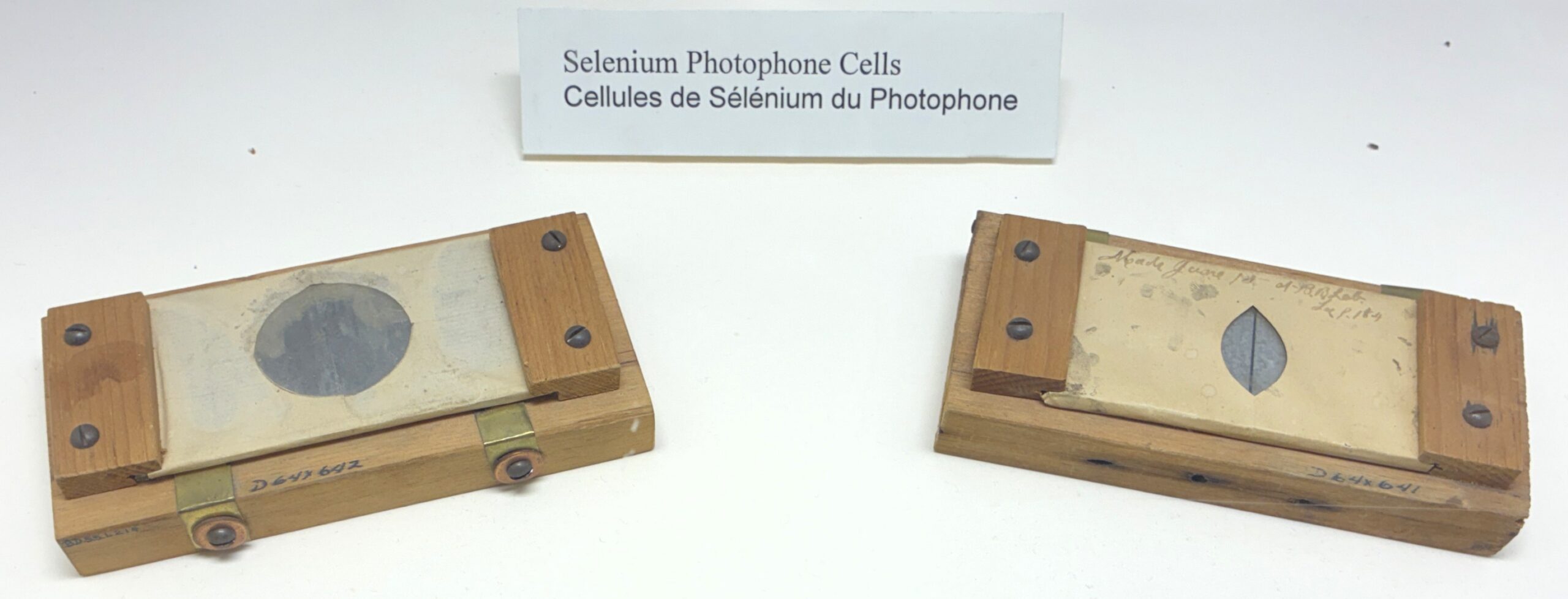
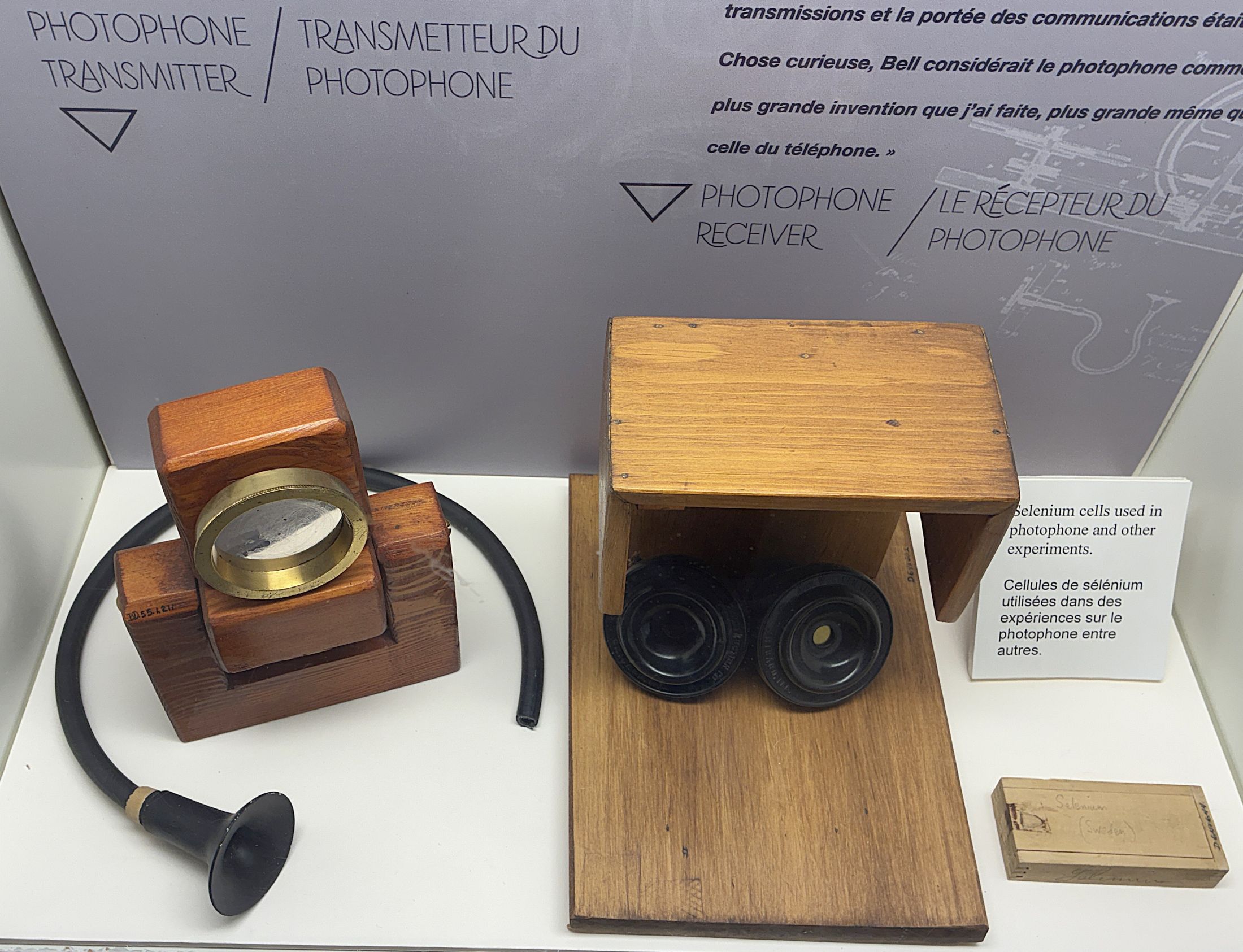
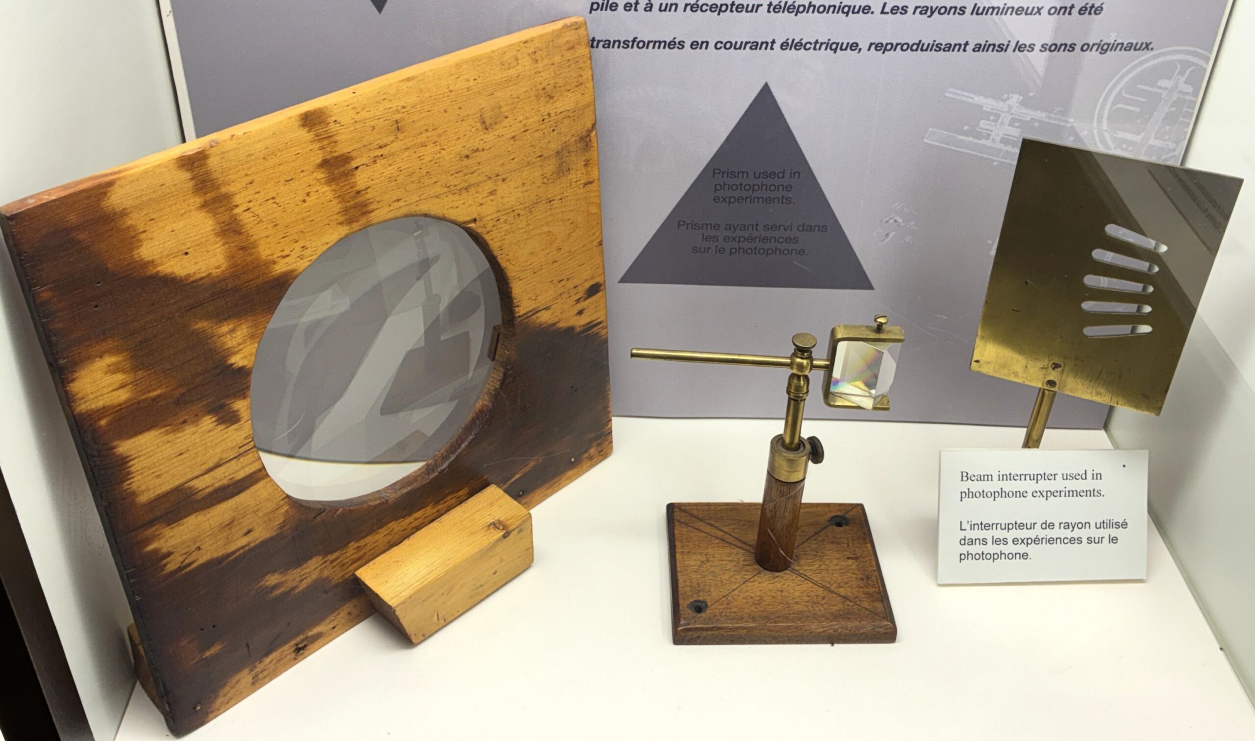
On the left below, a “Condensing Lens”, used to focus the beam of light falling on the transmitter mirror.
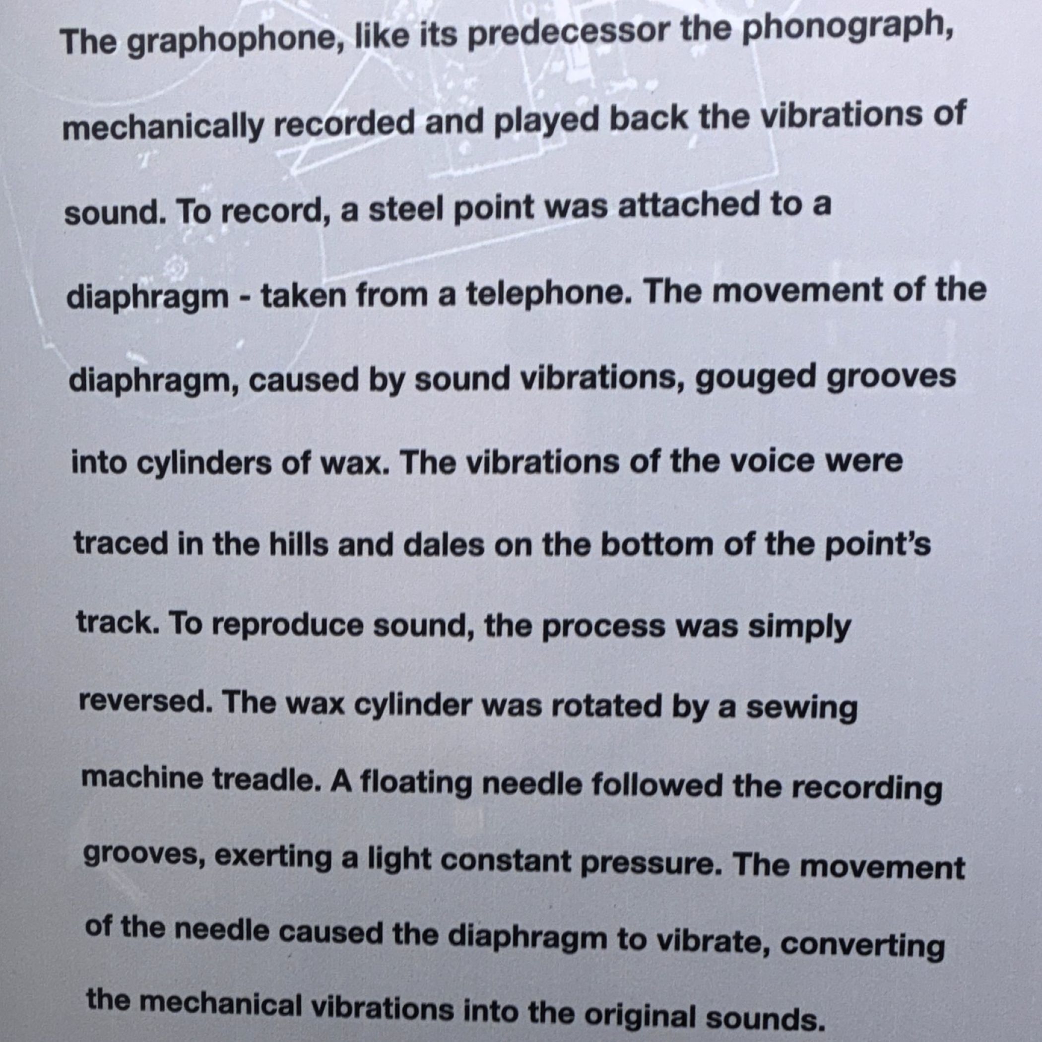
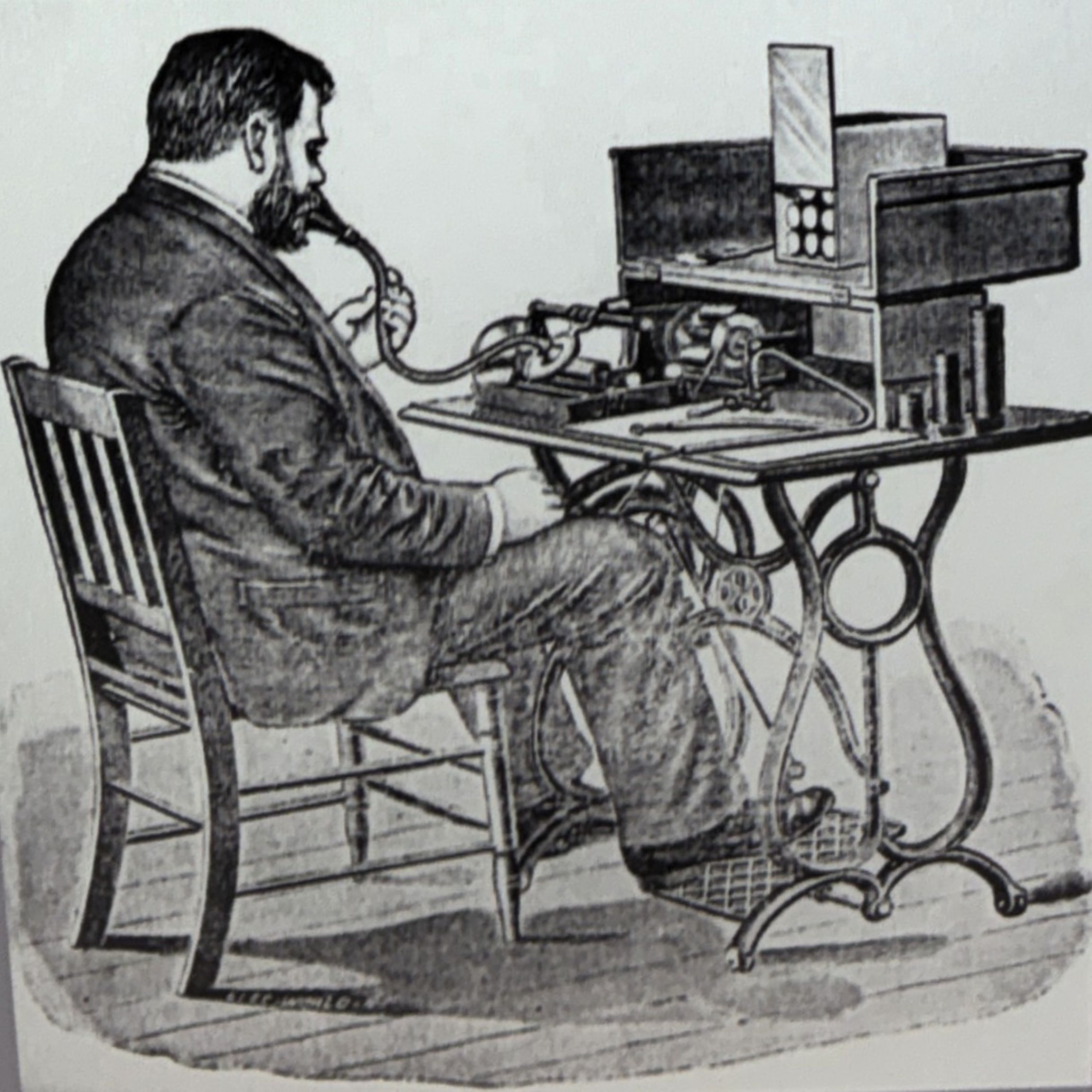
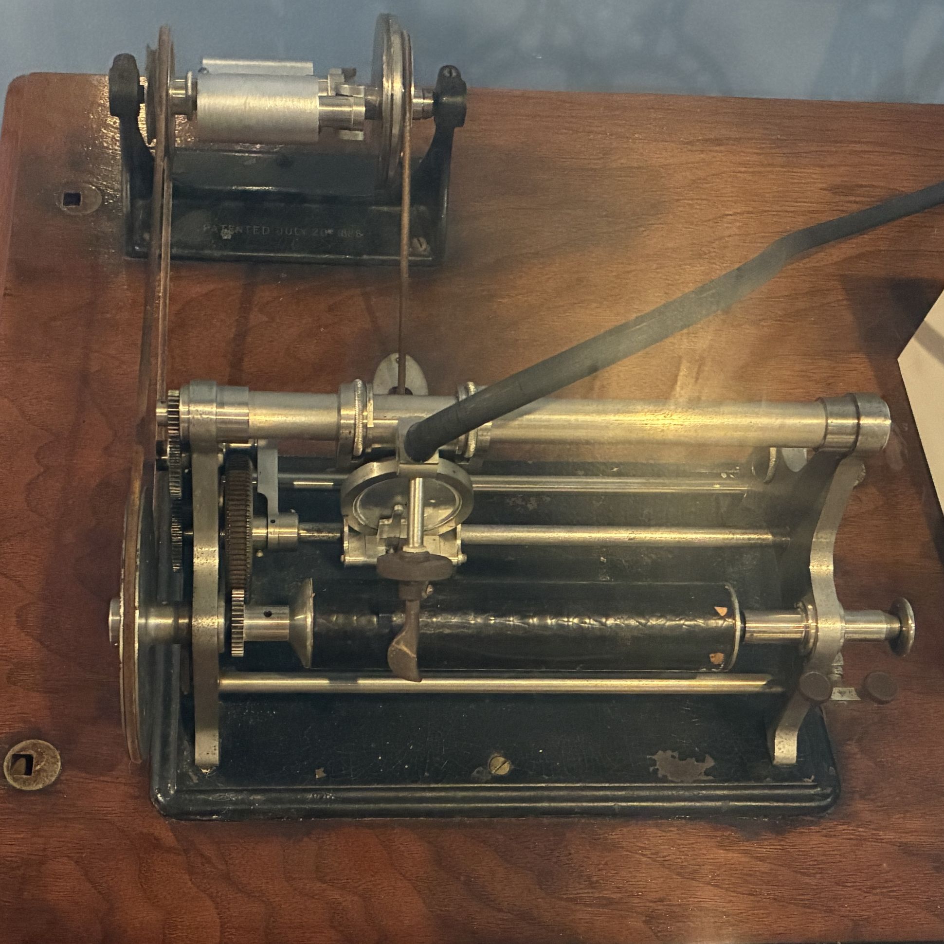
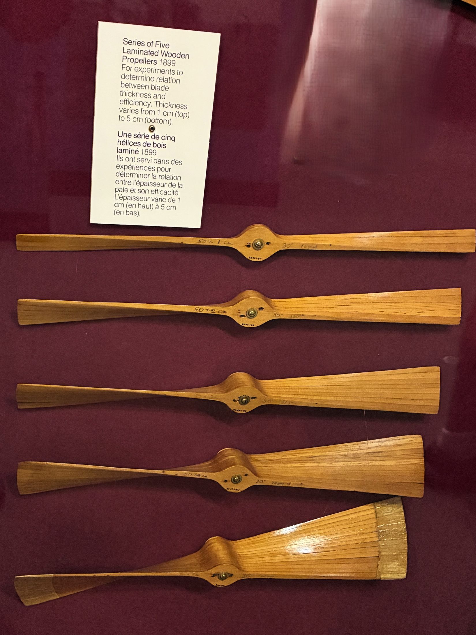
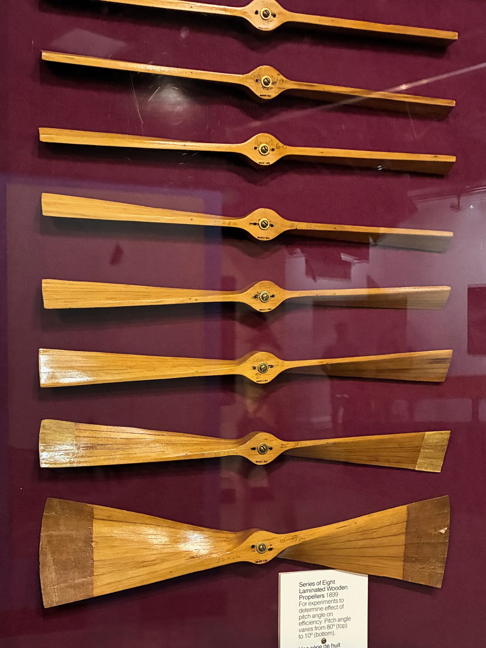
Propellers used for experiments in 1899. Left: to determine relation between blade thickness and efficiency. Thickness varies from 1 cm (top) to 5 cm (Bottom) Right: to determine the effect of pitch angle on efficiency. Pitch angle varies from 80° (top) to 10° (bottom)
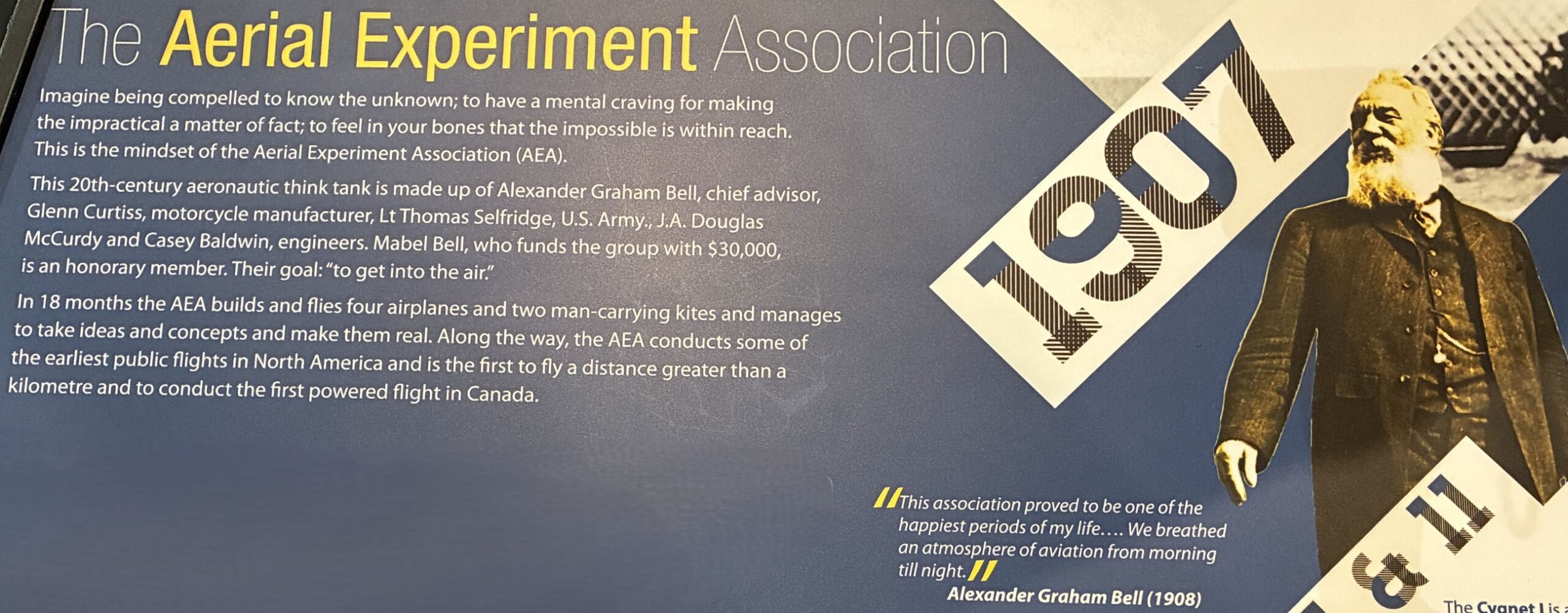
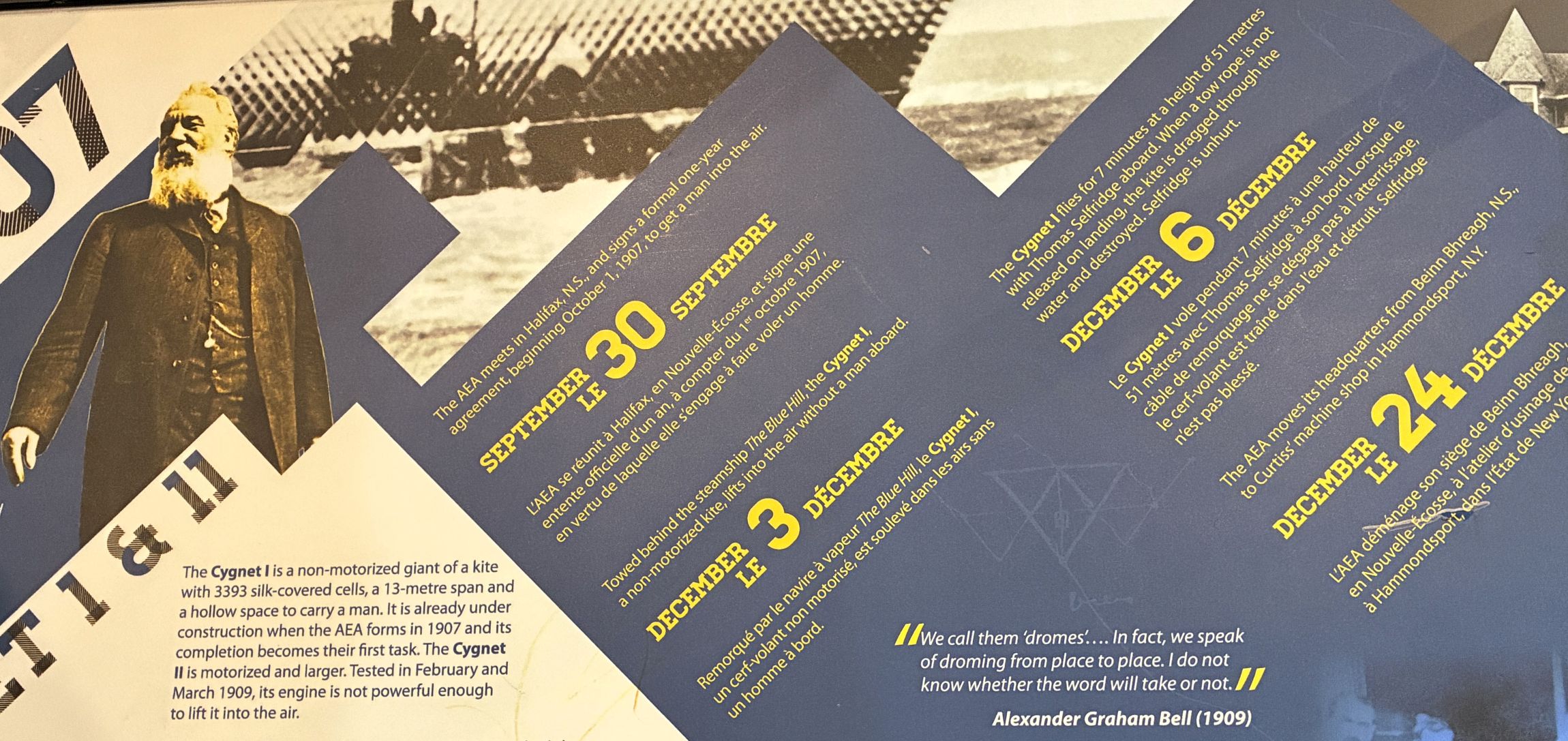
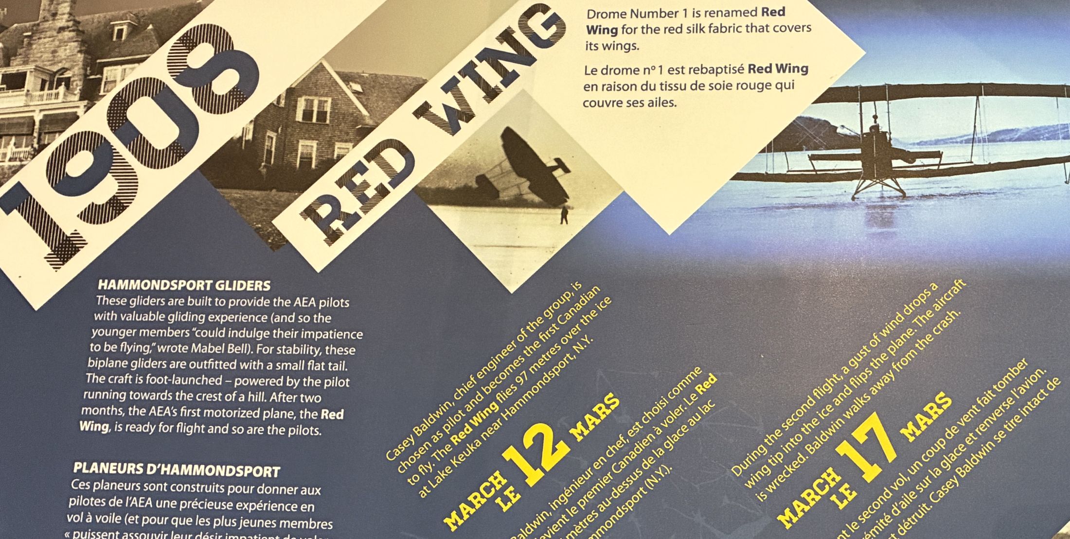
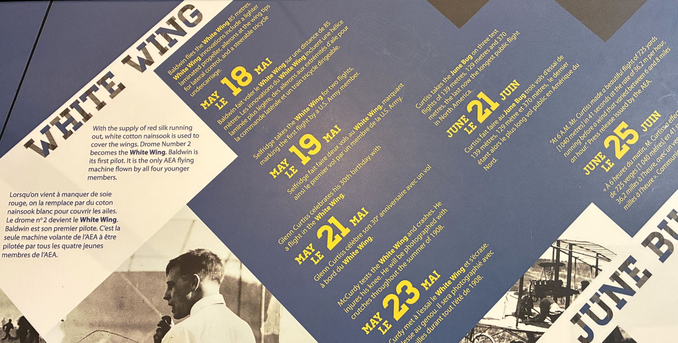
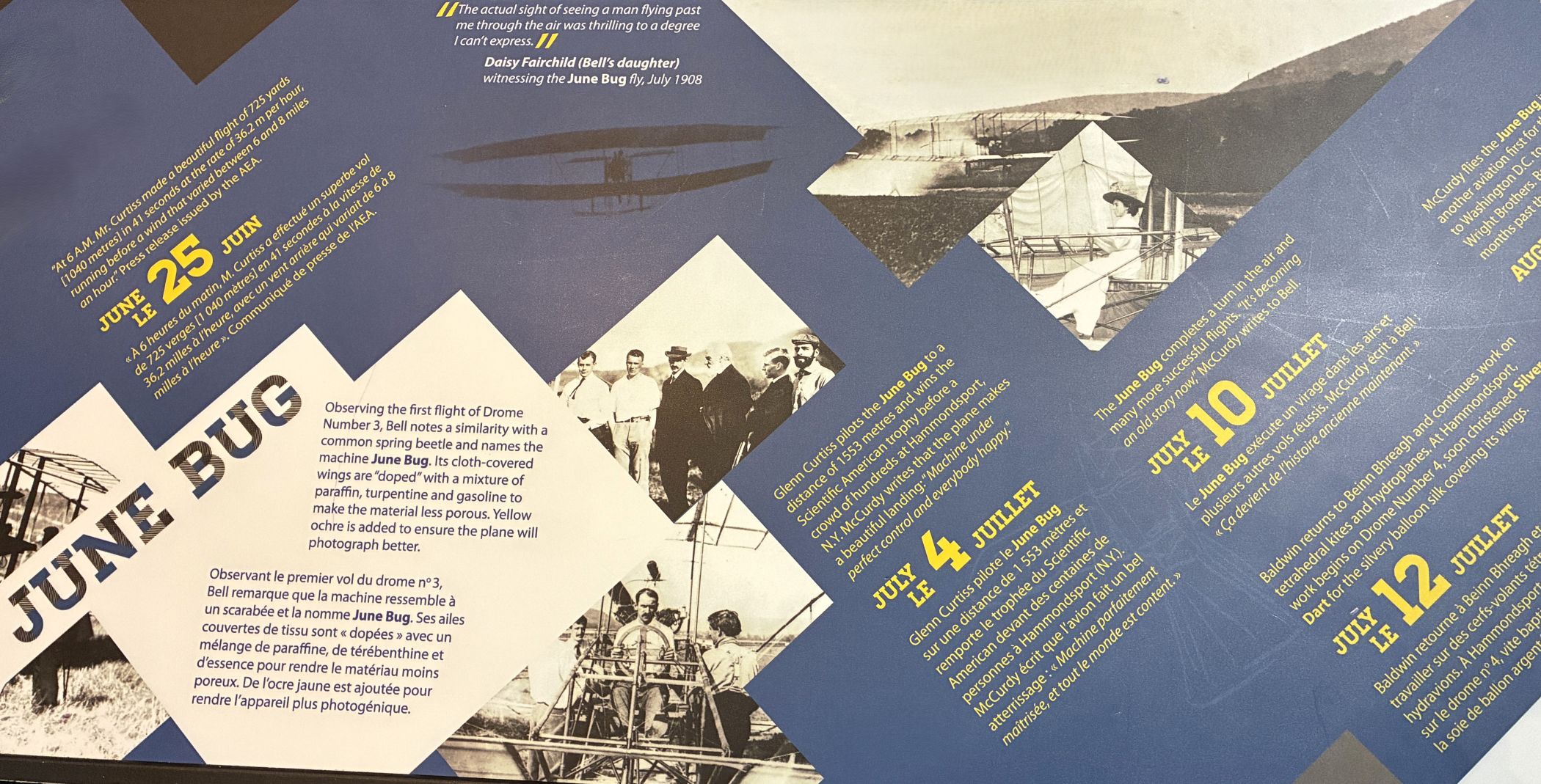
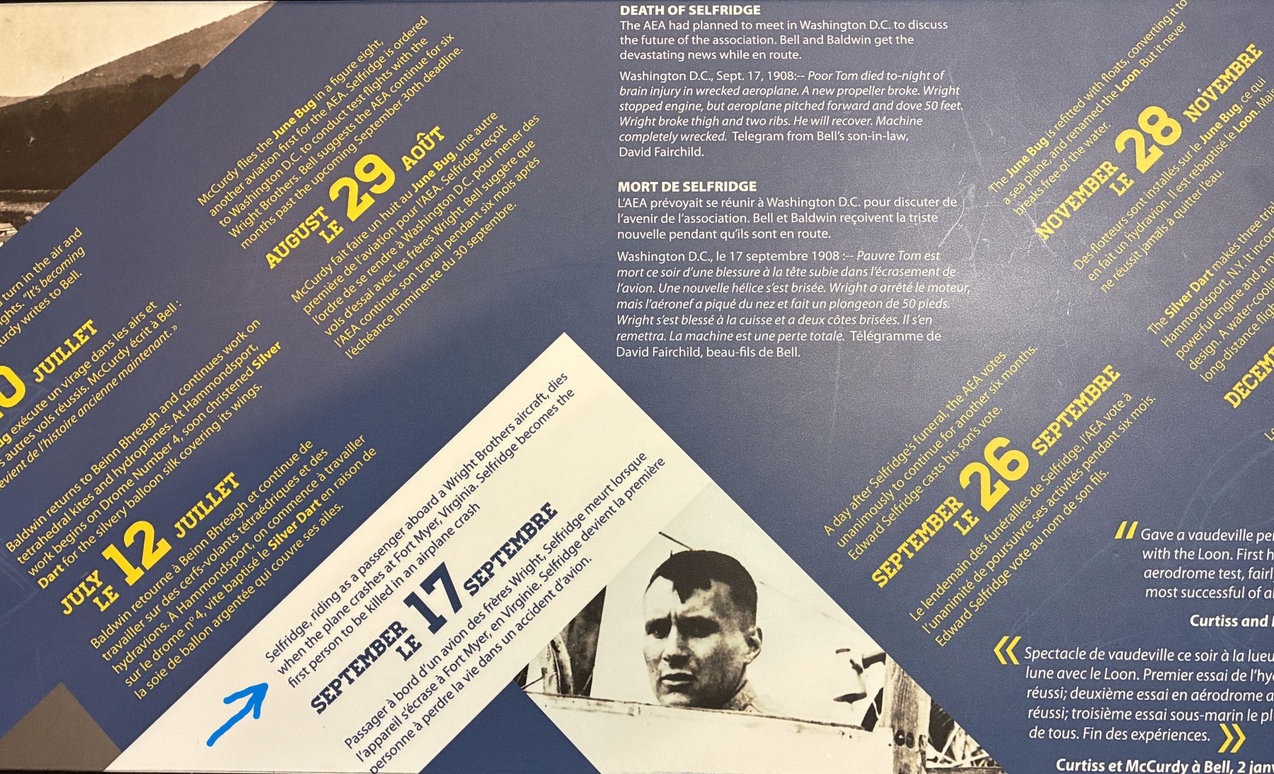
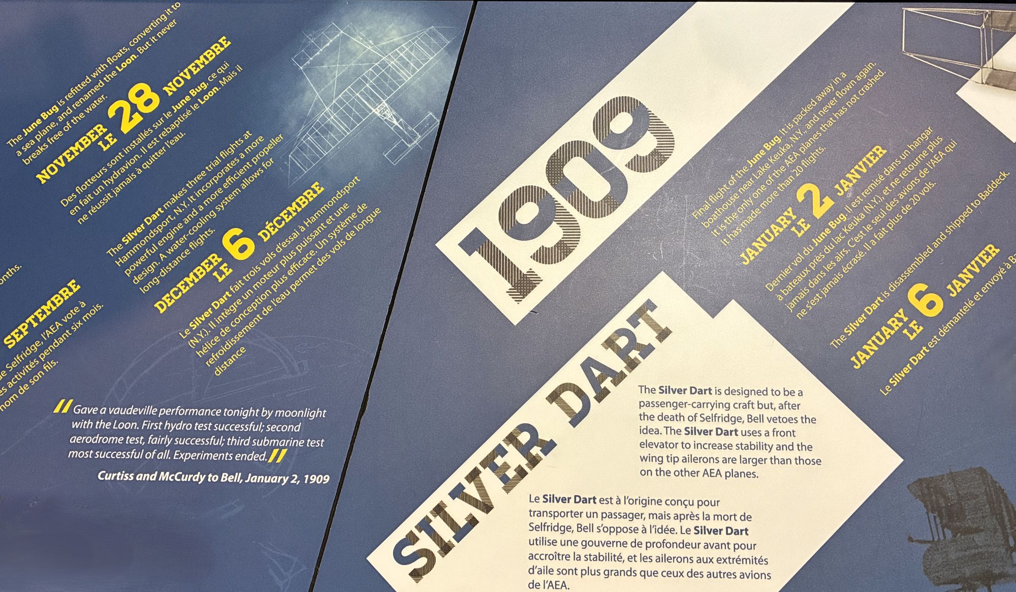
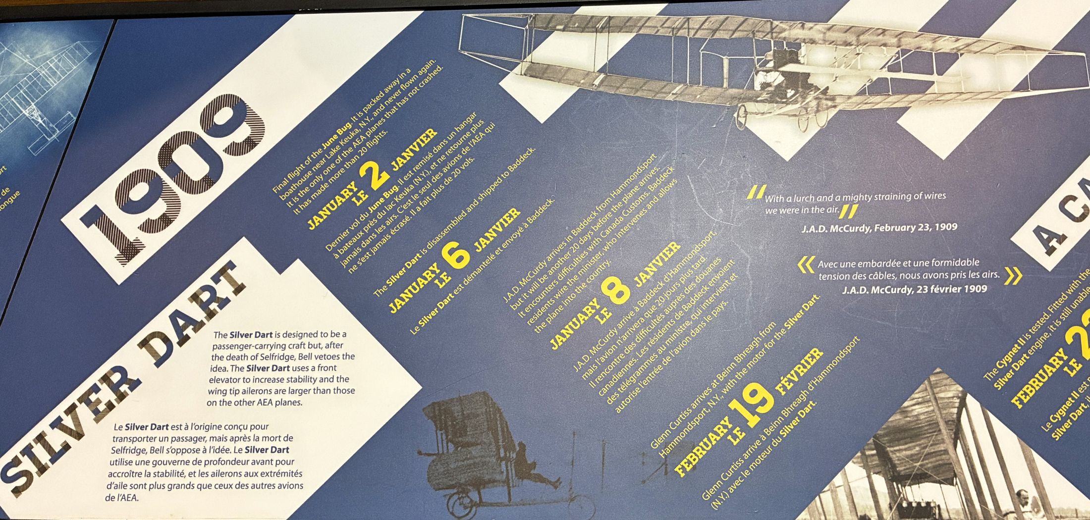
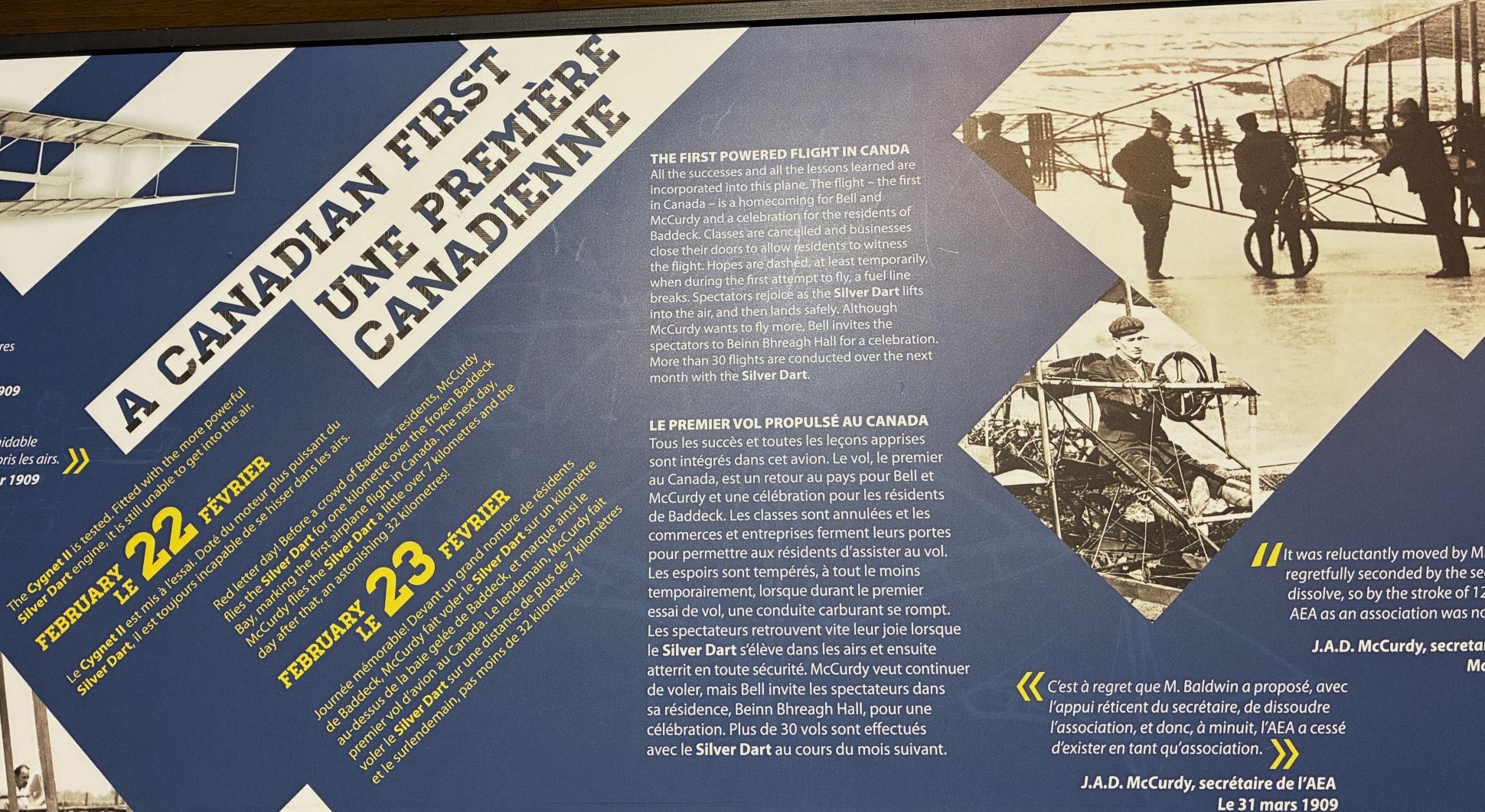
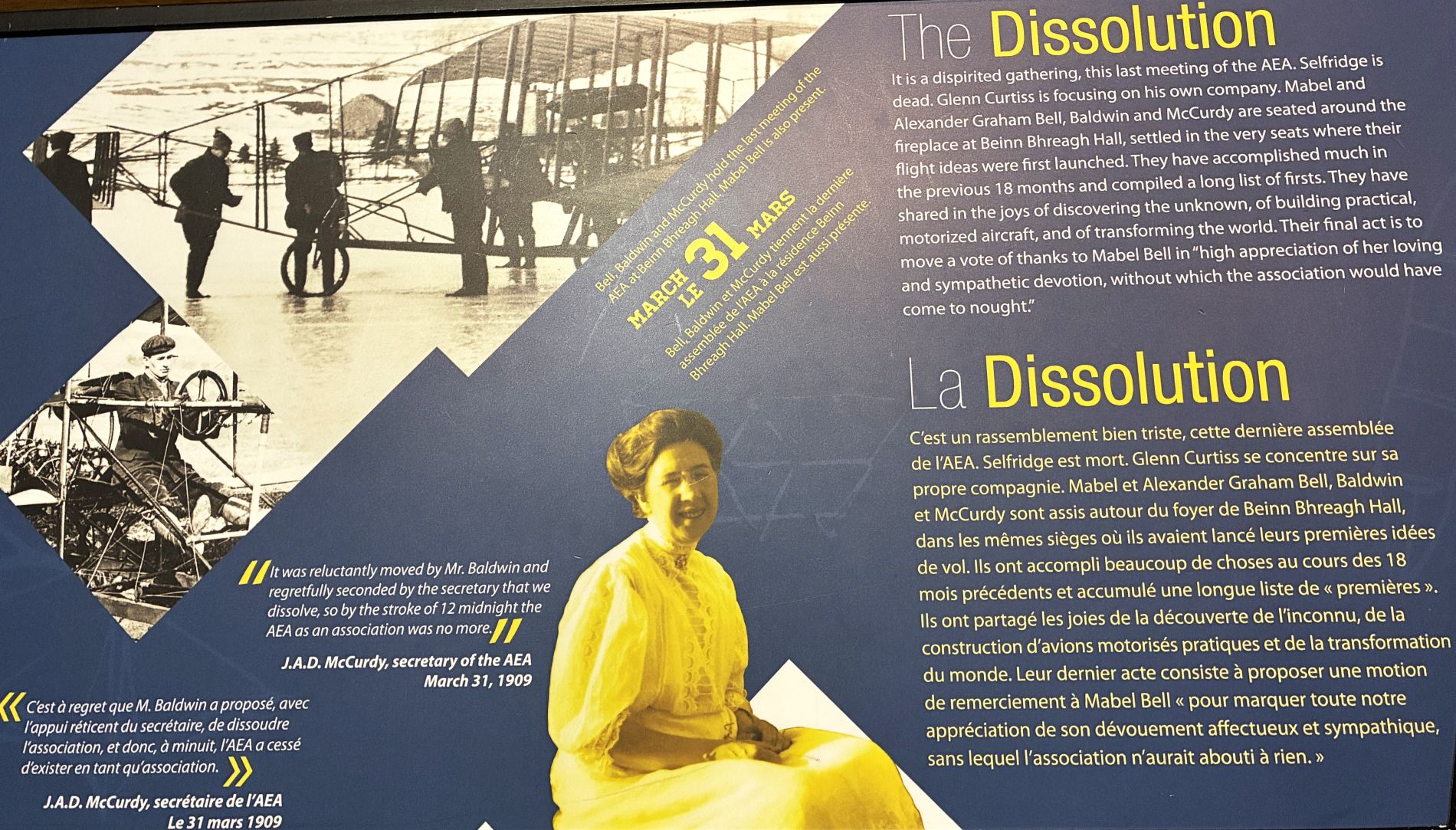
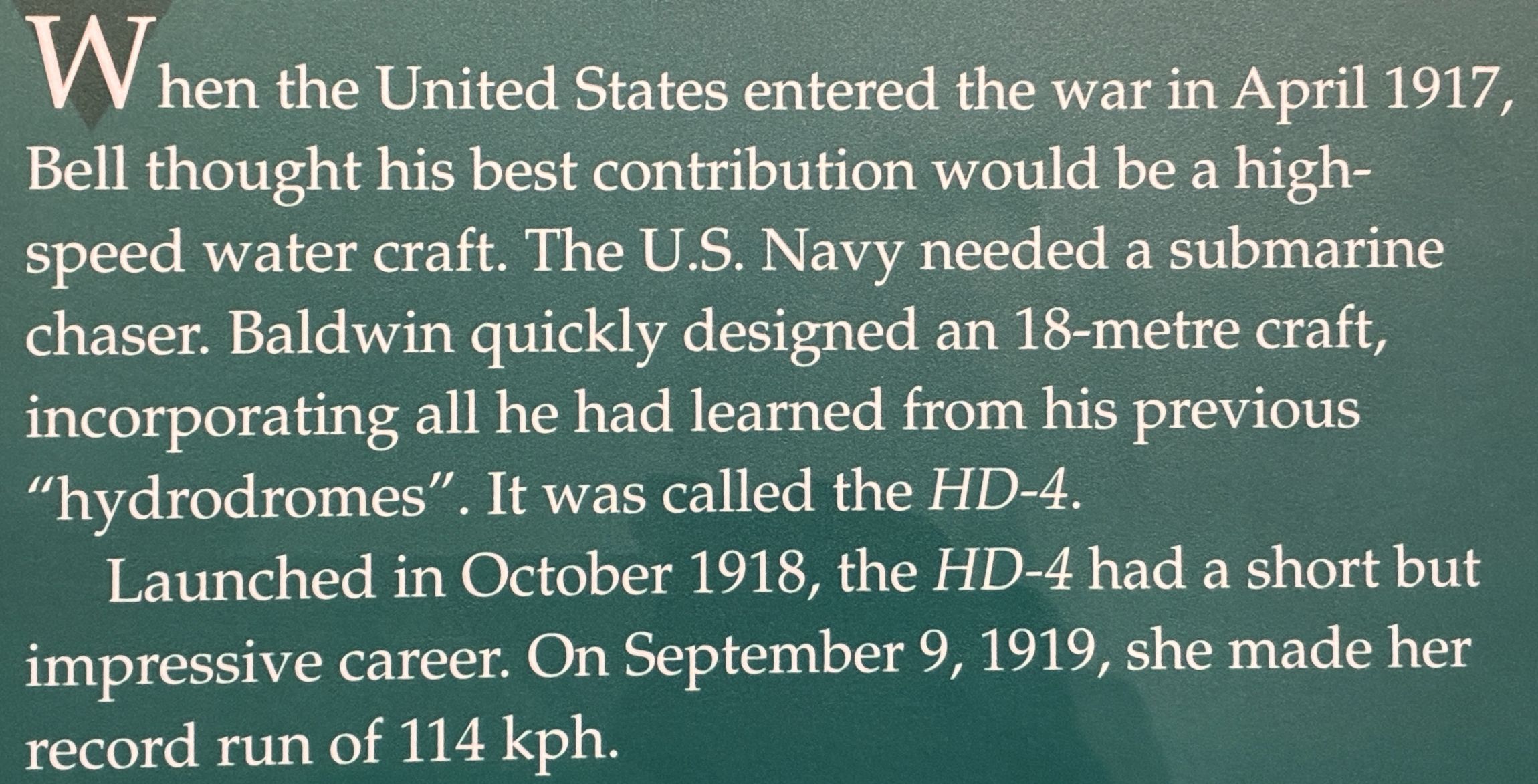
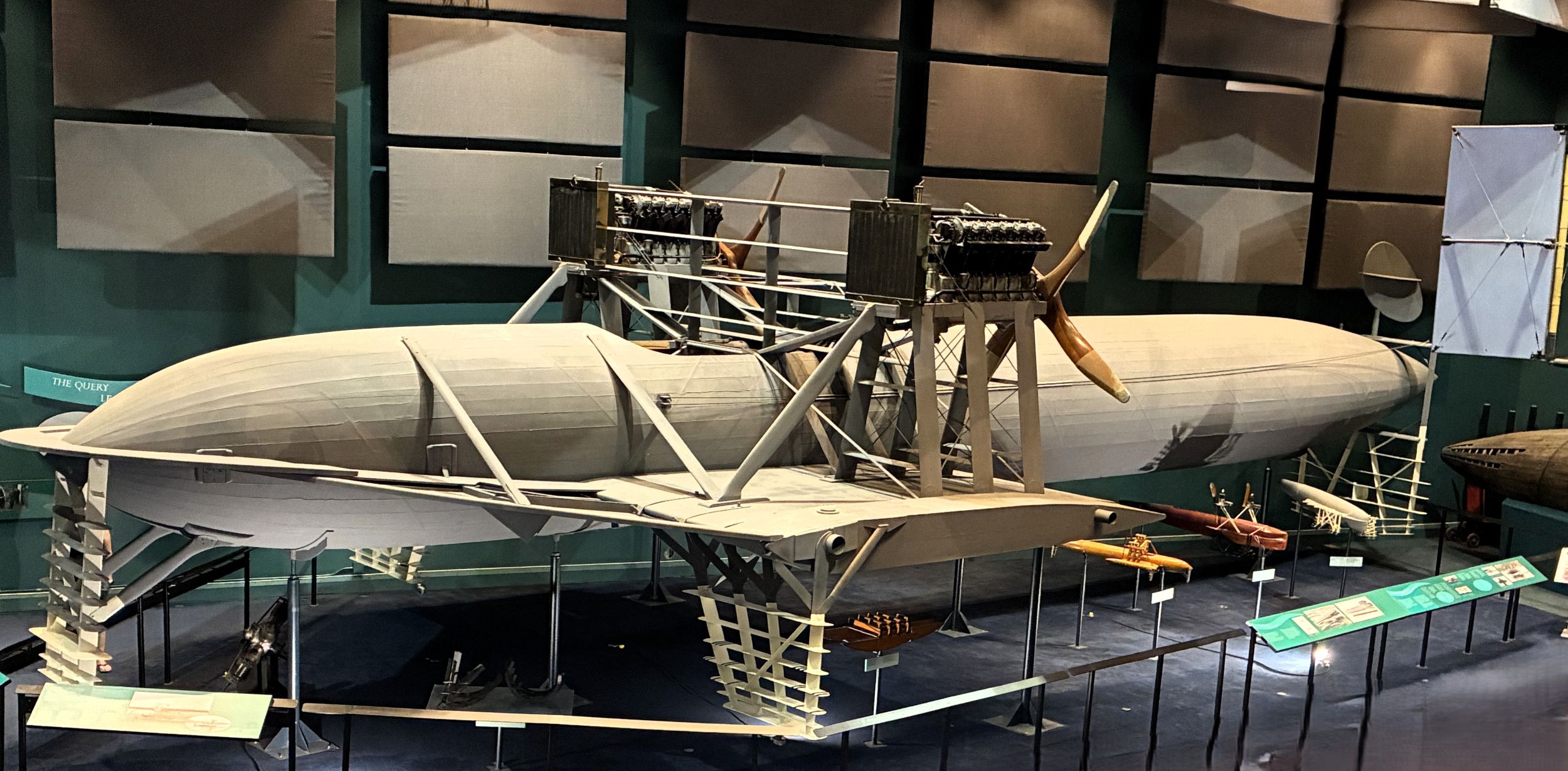
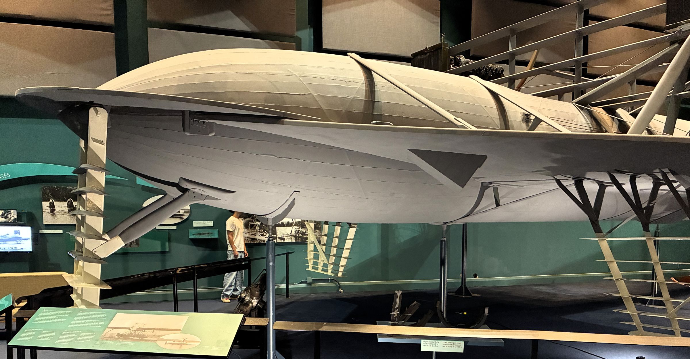
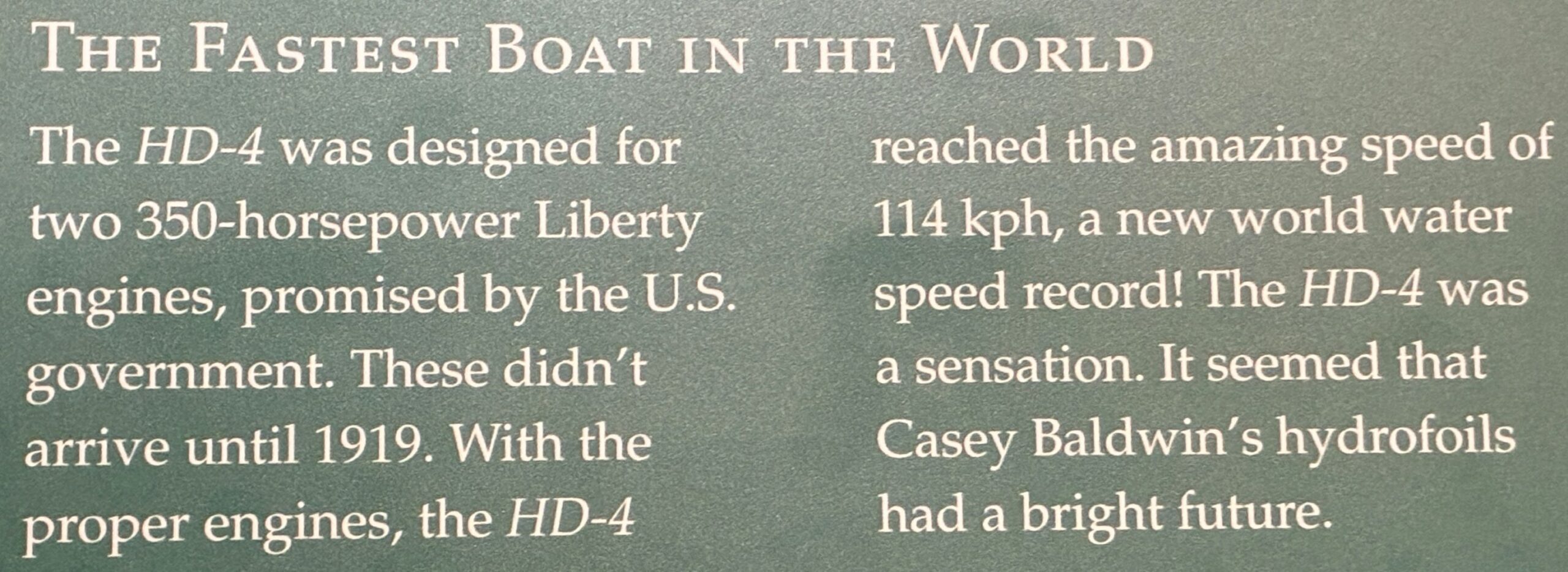
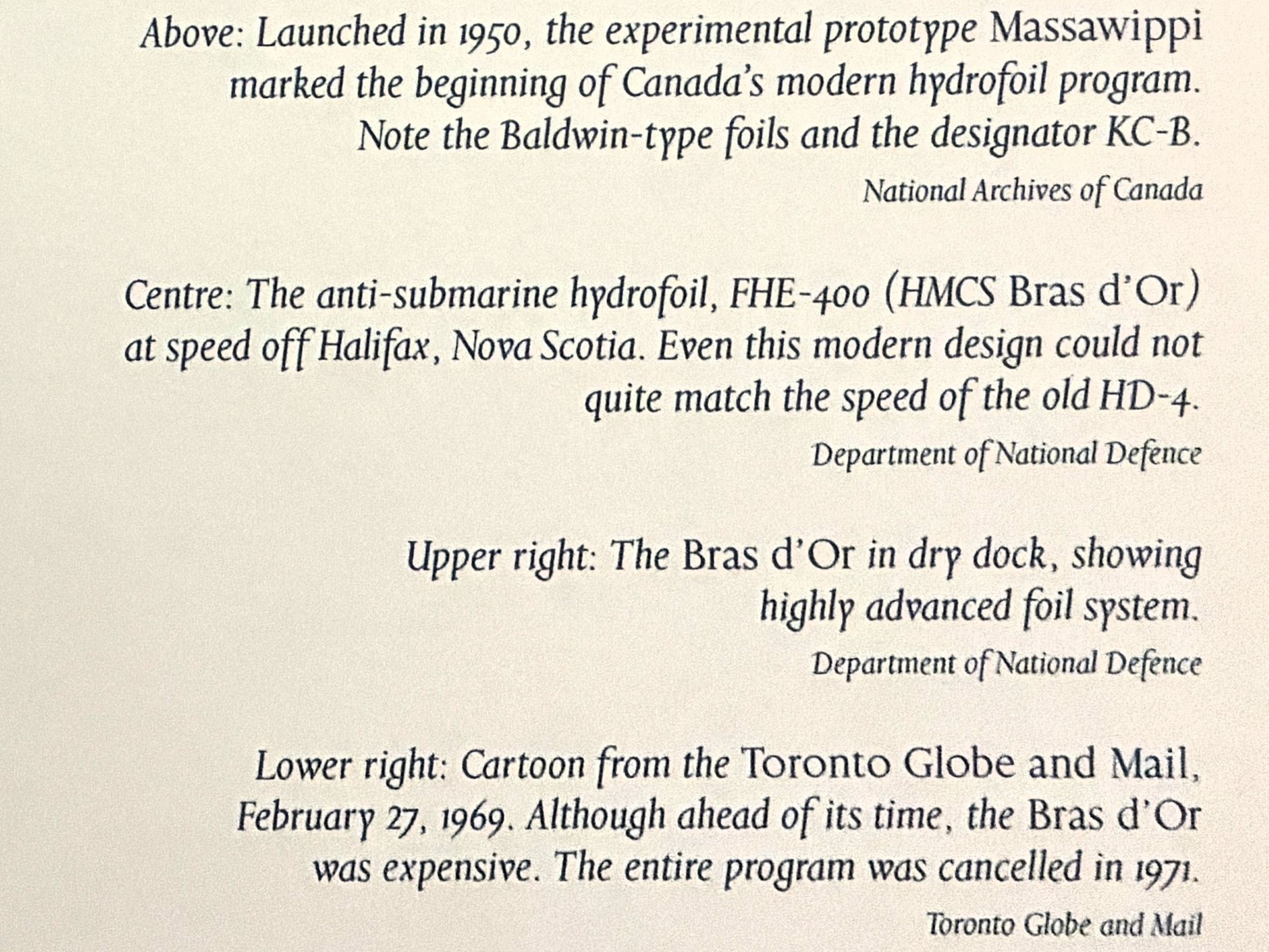
So, Bell and Baldwin continued their hydrofoil experiments after the Aerial Experiment Association was dissolved. This full-scale replica of the HD-4 shows what it was like in 1919. The propellers on the port-side Liberty engine are from the original HD-4.
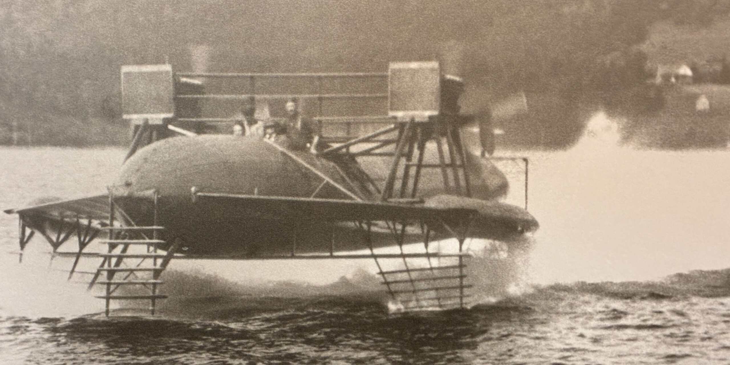
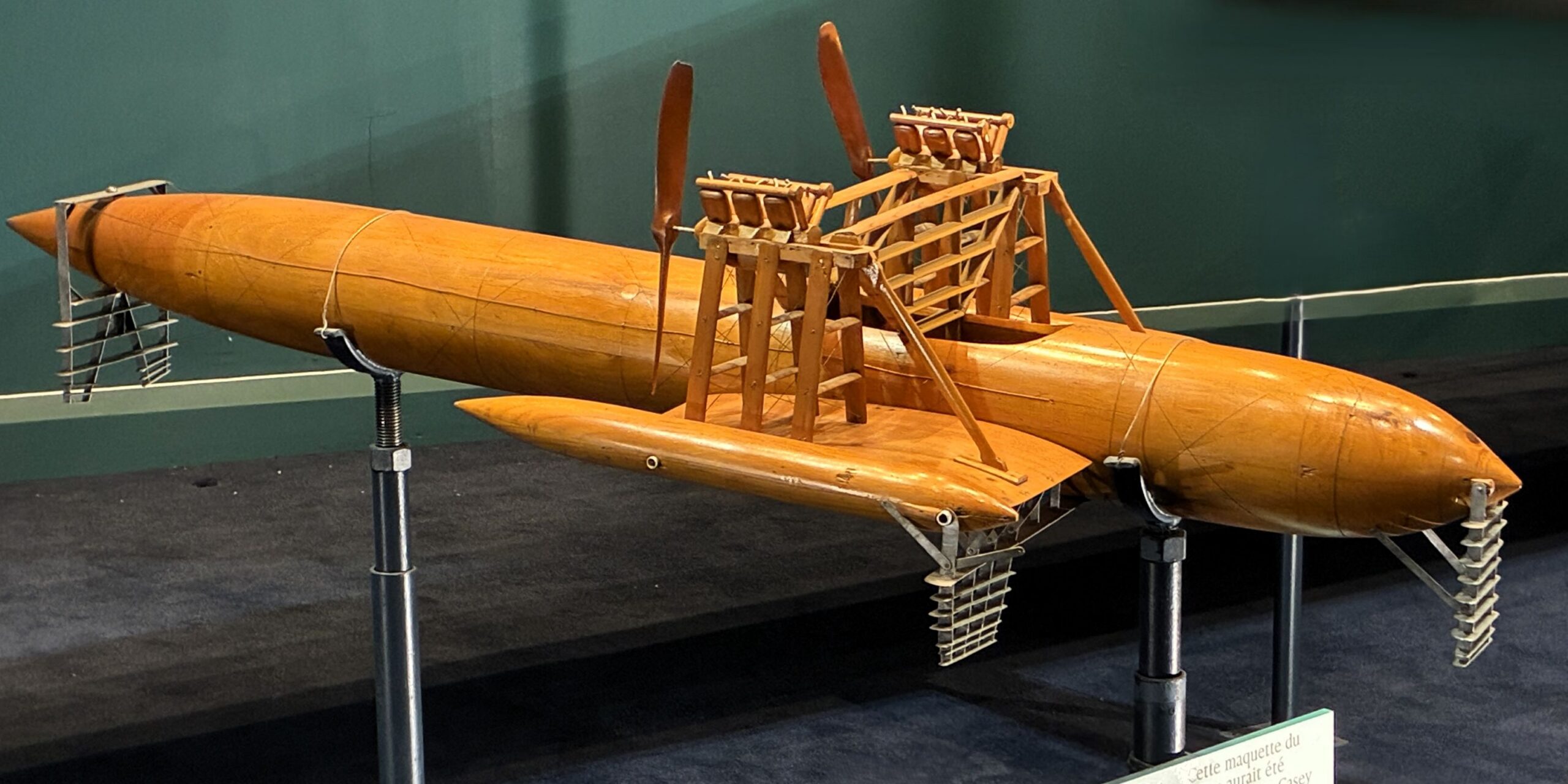
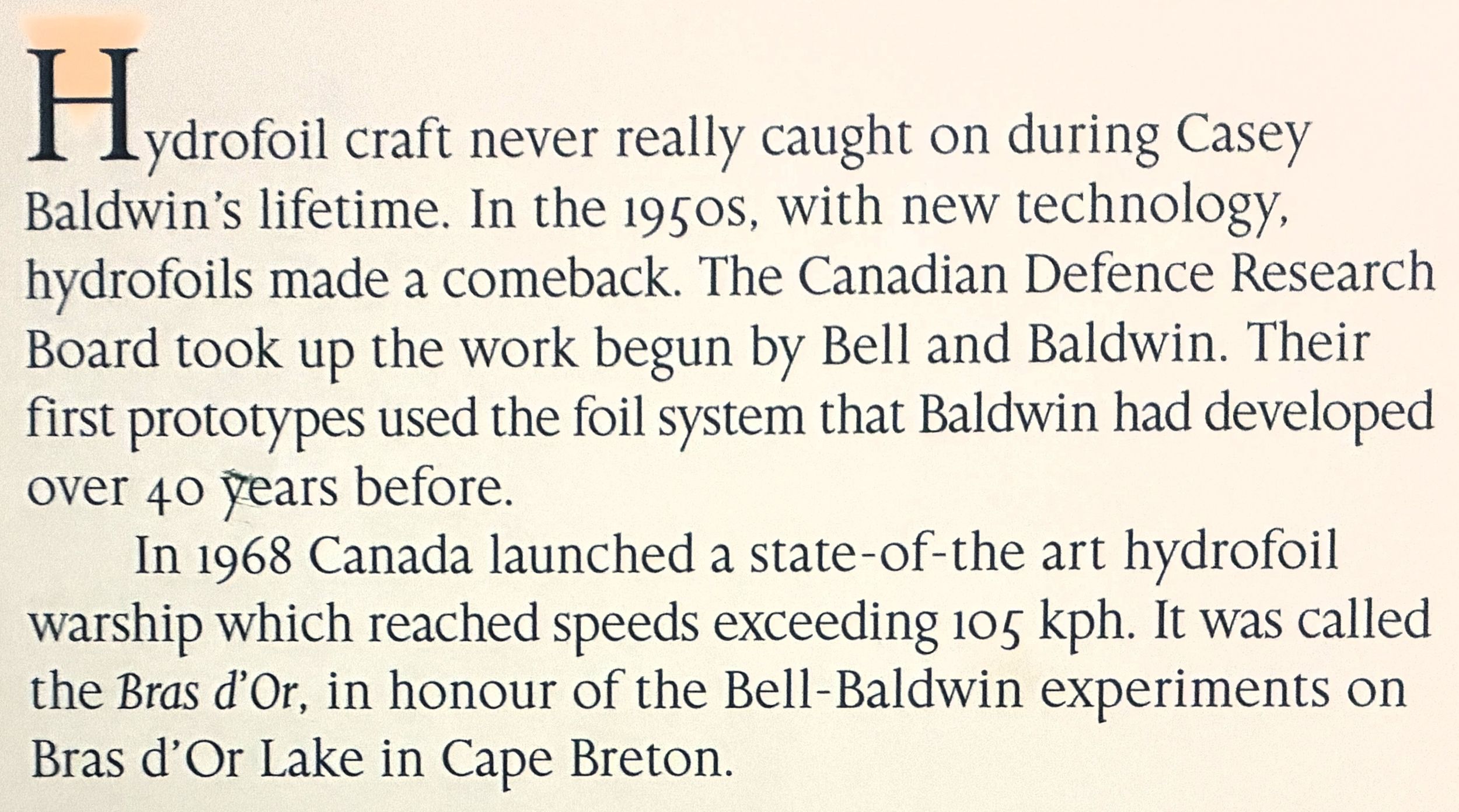
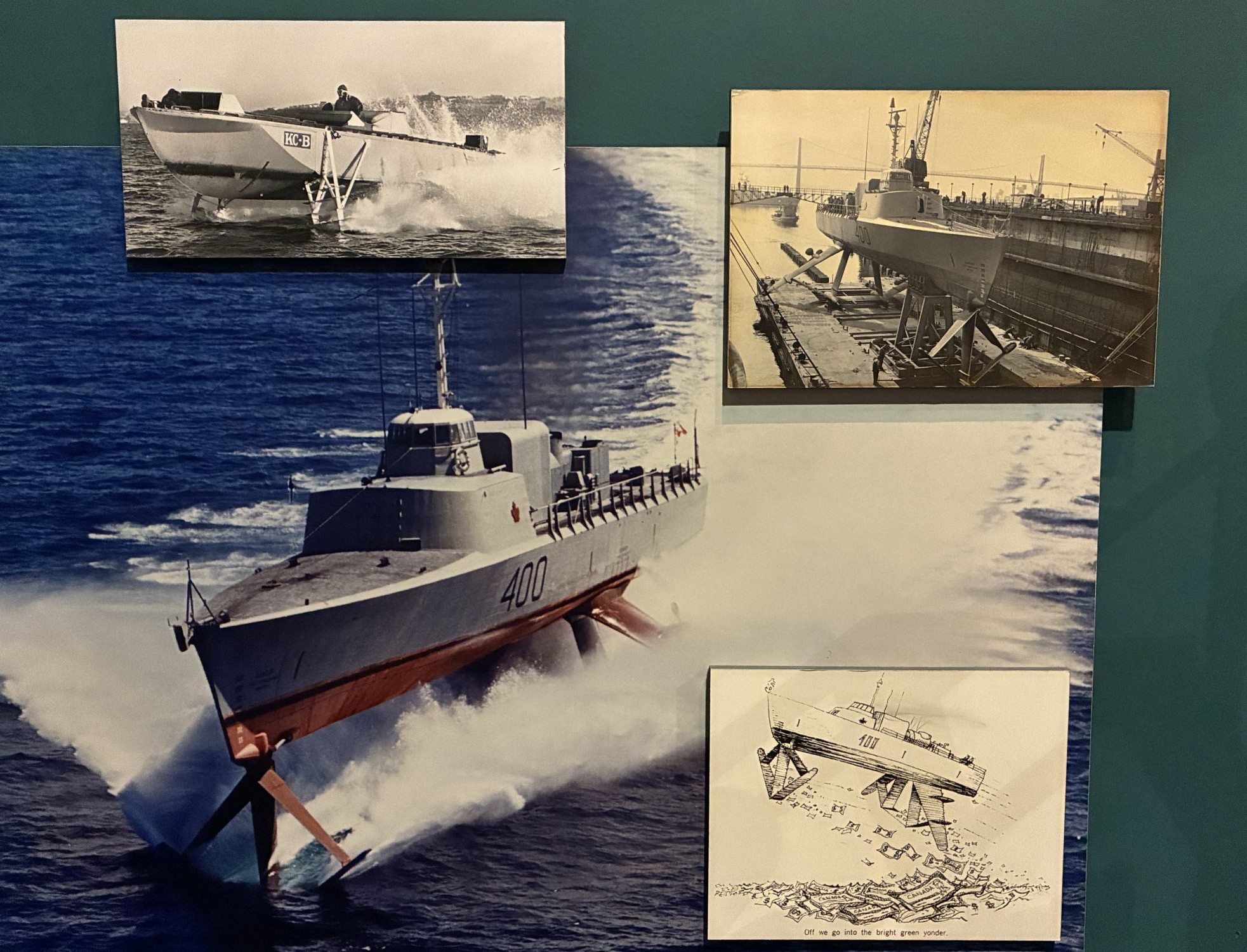
Who knew what an ingenious man Alexander Graham Bell was?! The museum was fascinating! Next, we went for a drive on part of the Cabot Trail.
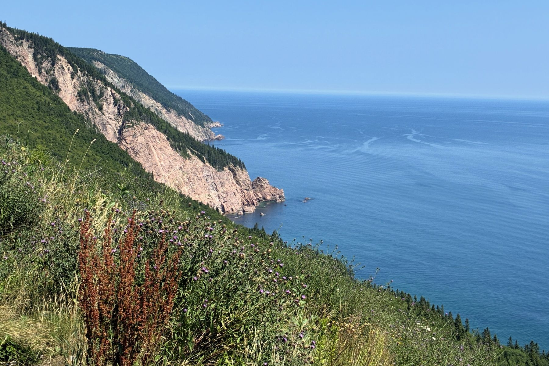
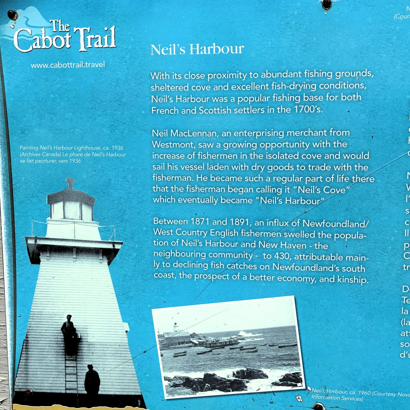
The Cabot Trail is said to be one of Nova Scotia’s most iconic travel experiences, winding 185 miles through parts of Cape Breton Island. Known for its dramatic coastal views and rolling highland landscapes, we wanted to experience at least part of it!
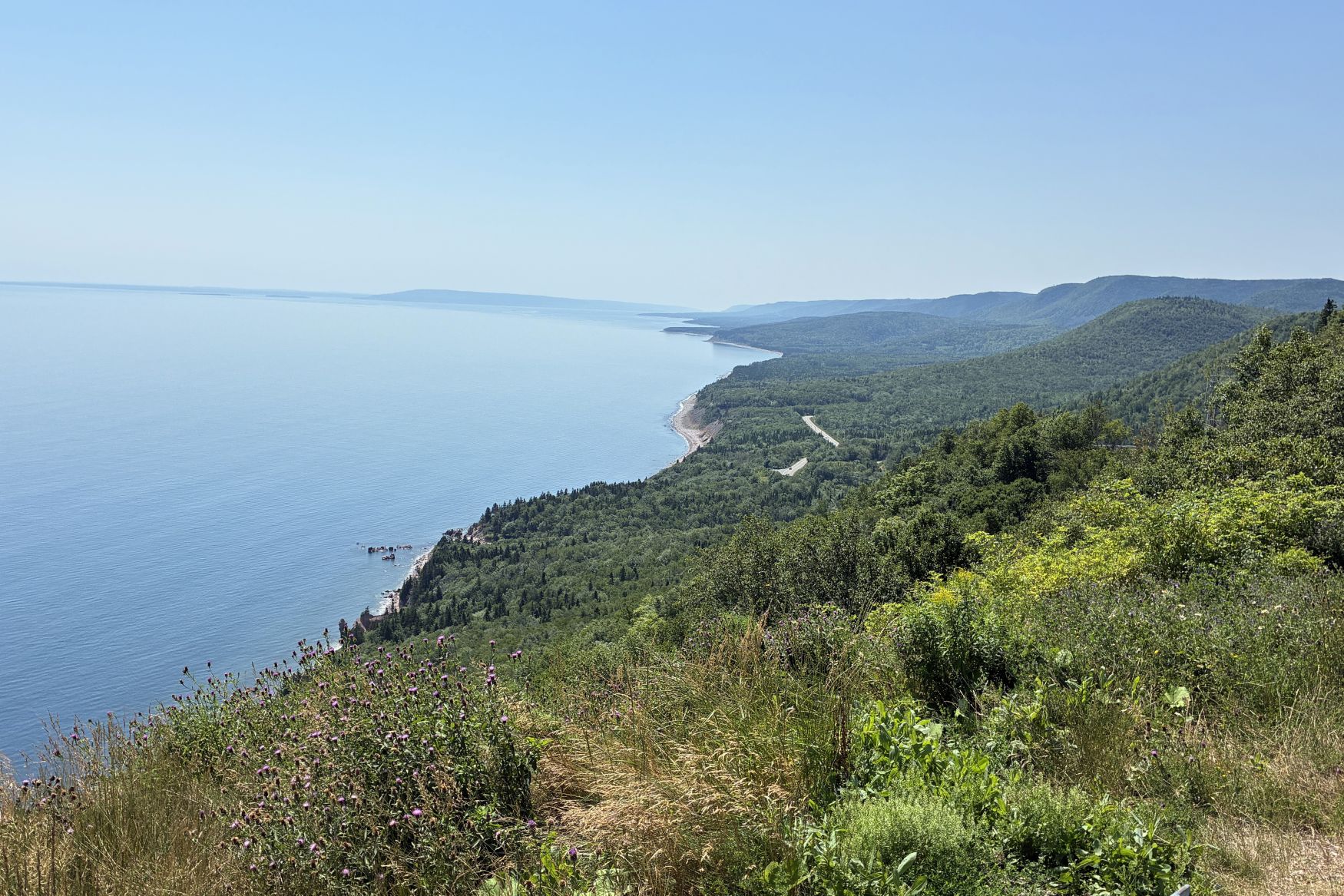
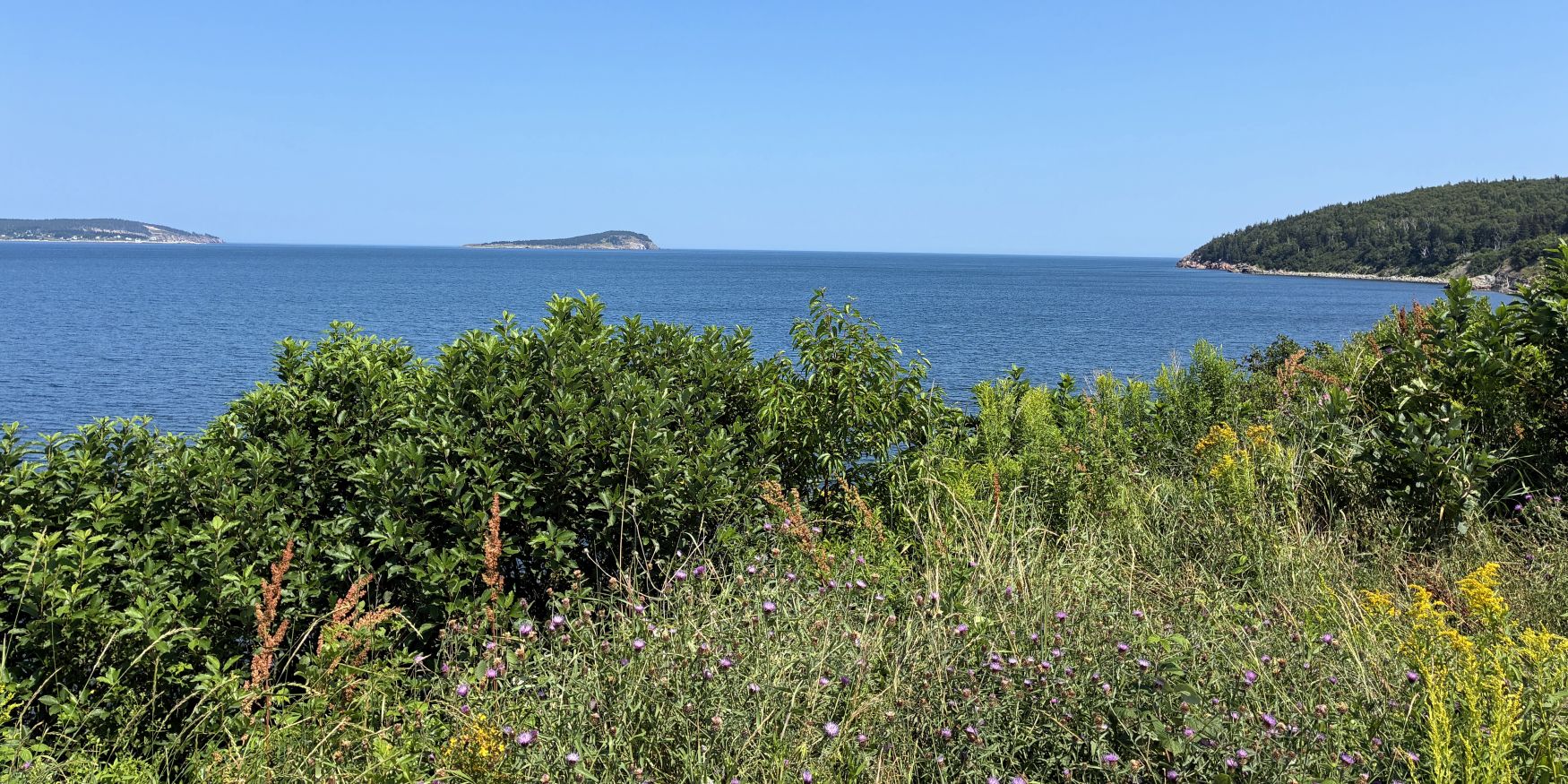
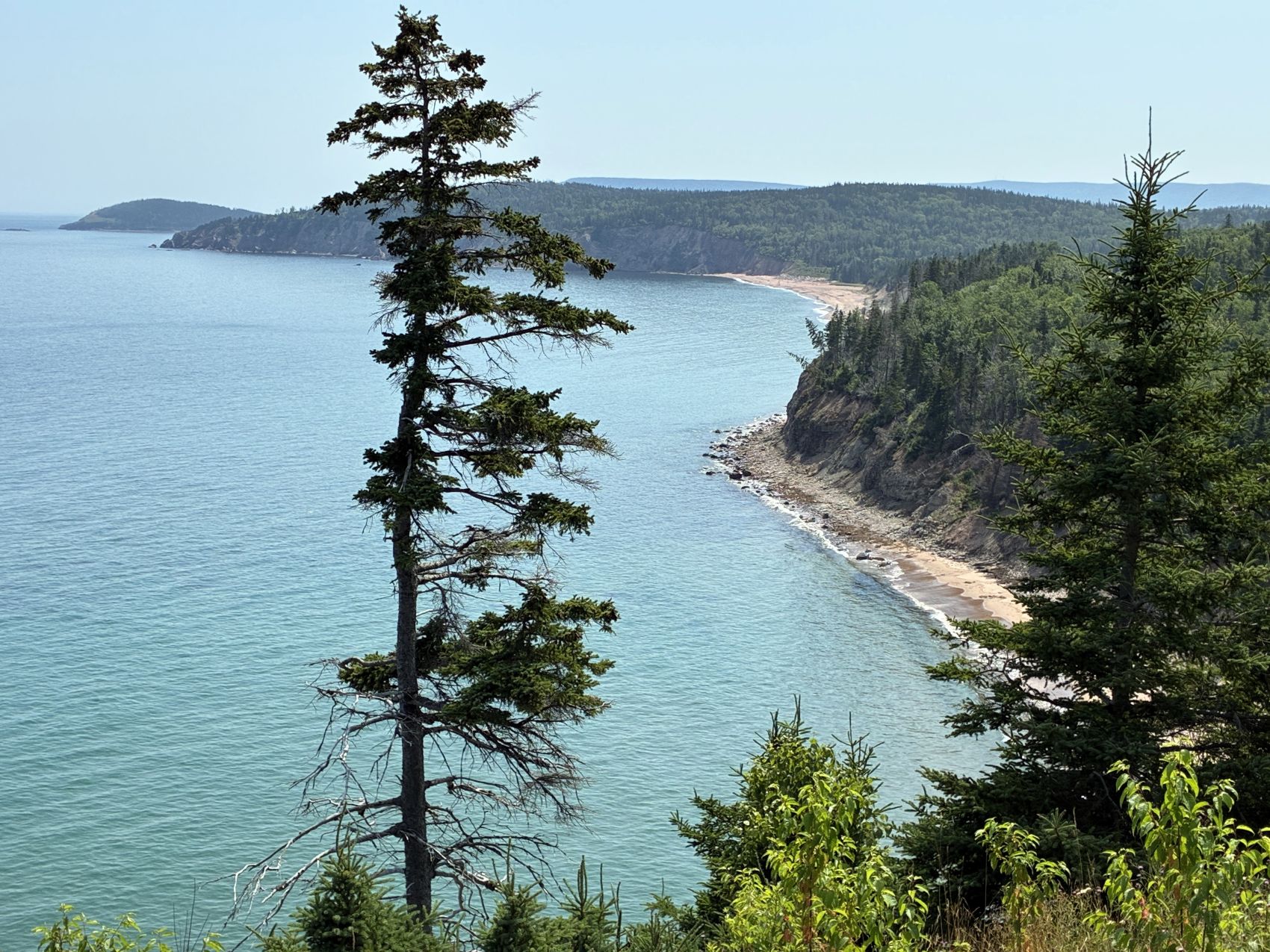
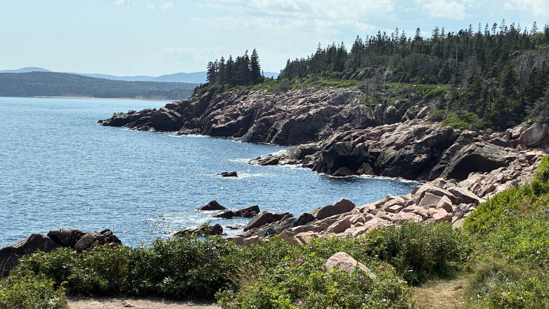
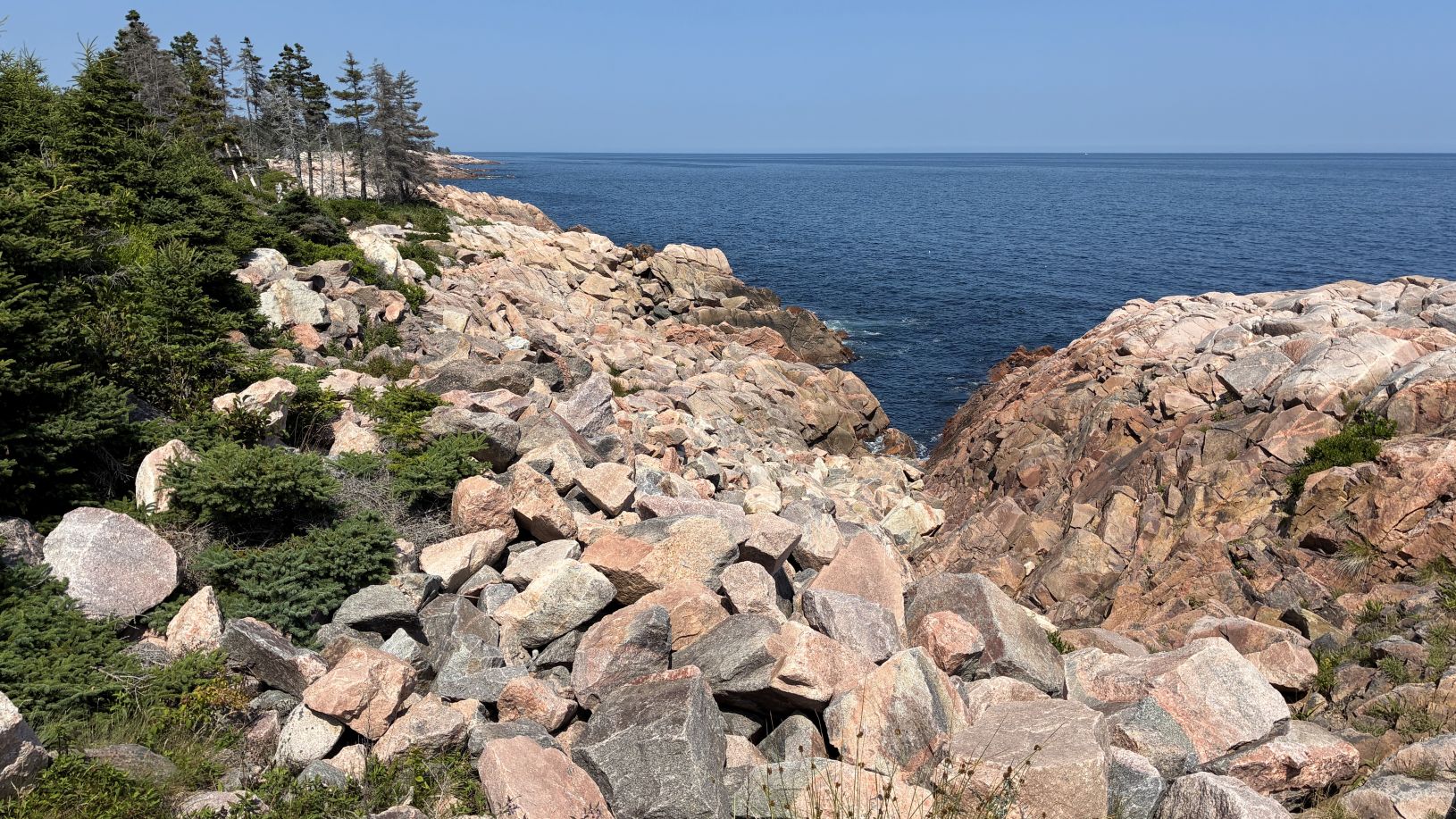
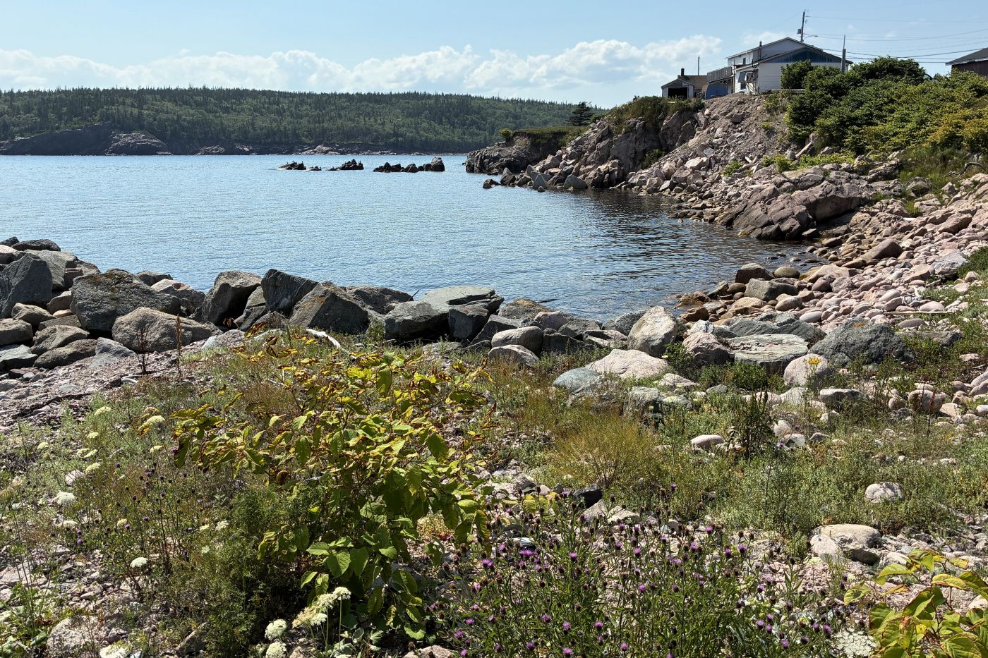
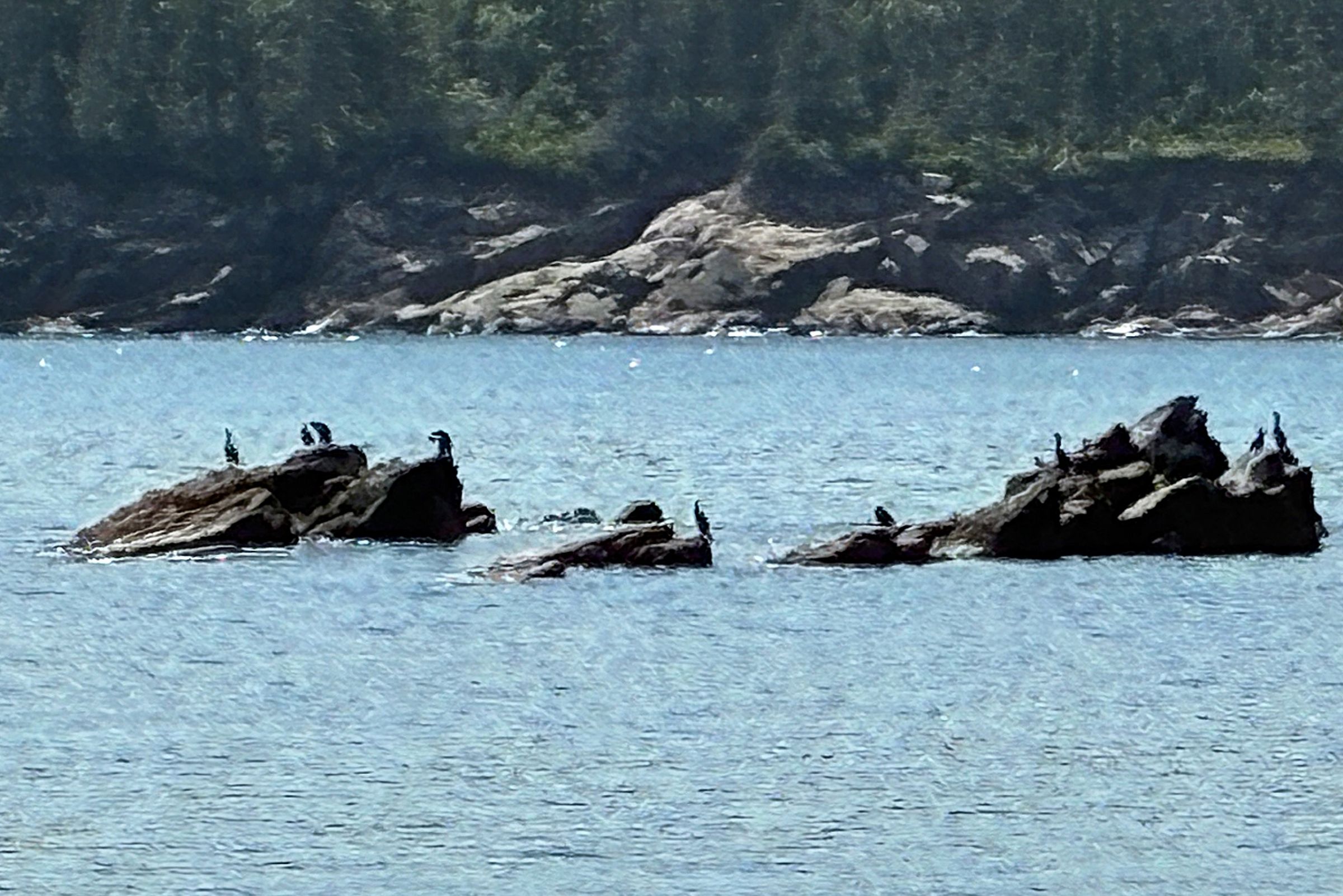
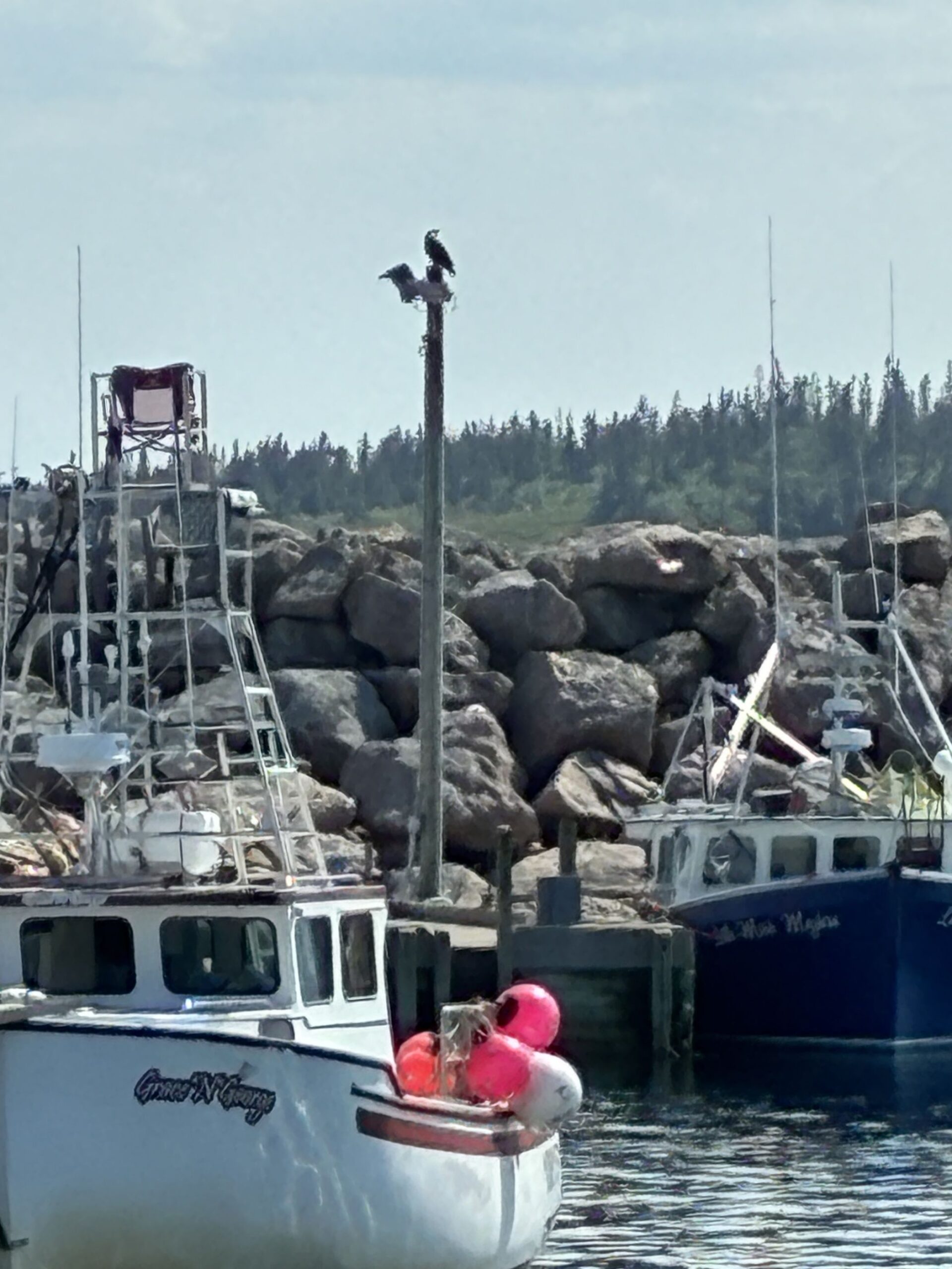
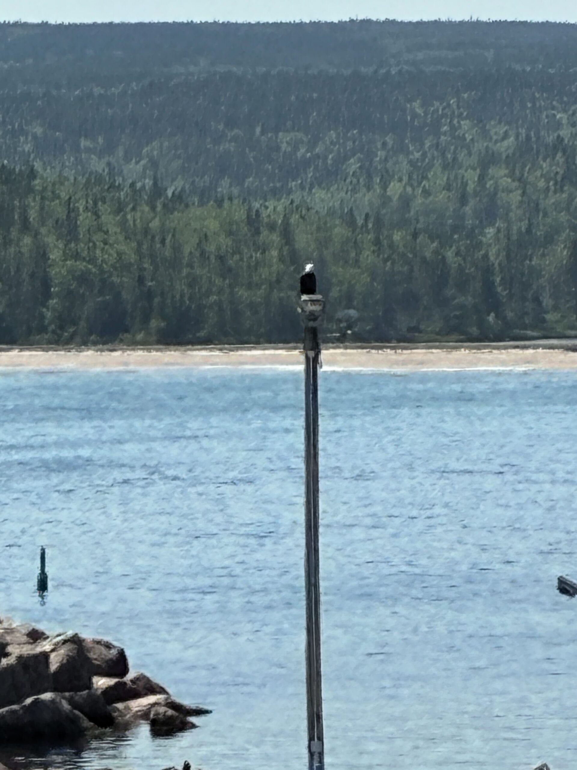
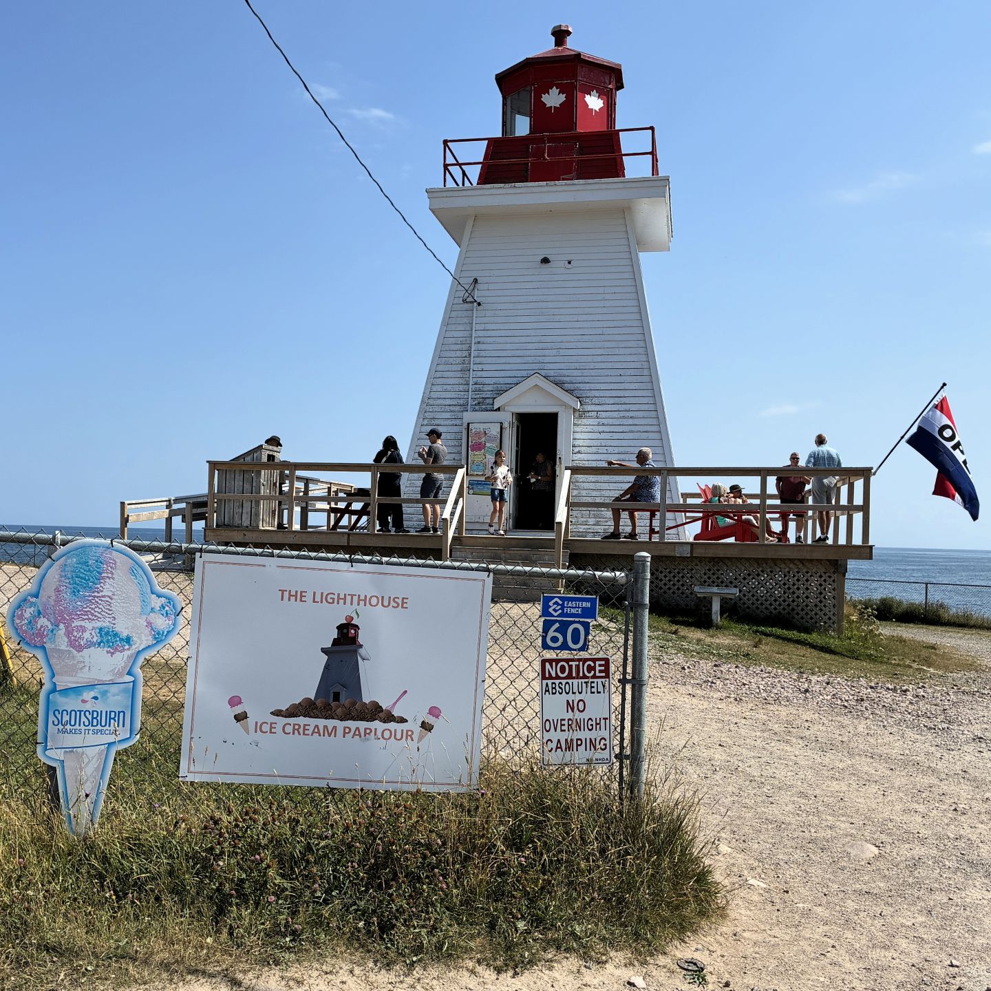
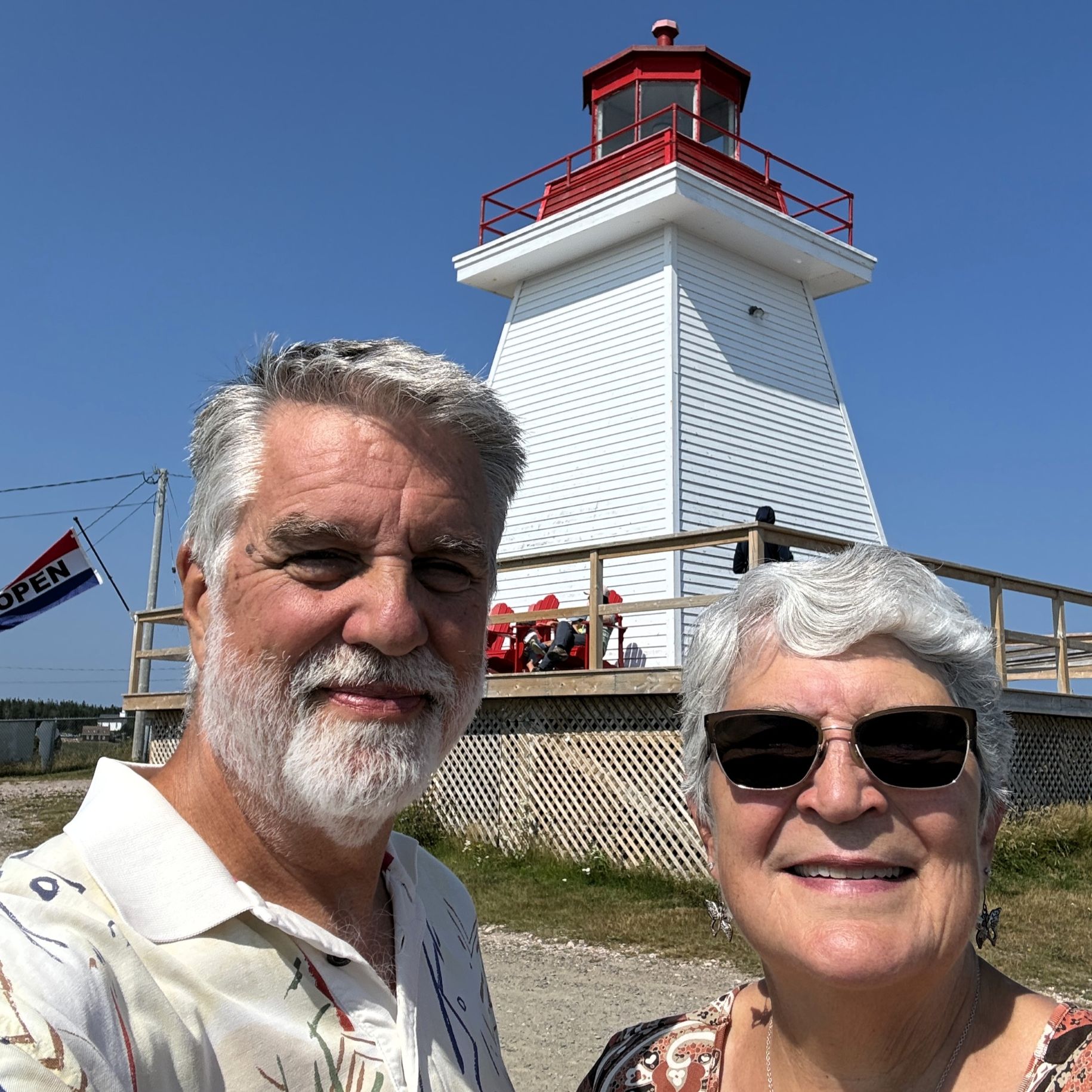
There was an ice cream parlor at this lighthouse, so of course we stopped for an afternoon treat!
We drove as far as South Harbour, which, ironically, is nearly at the northern tip of Cape Breton Island.
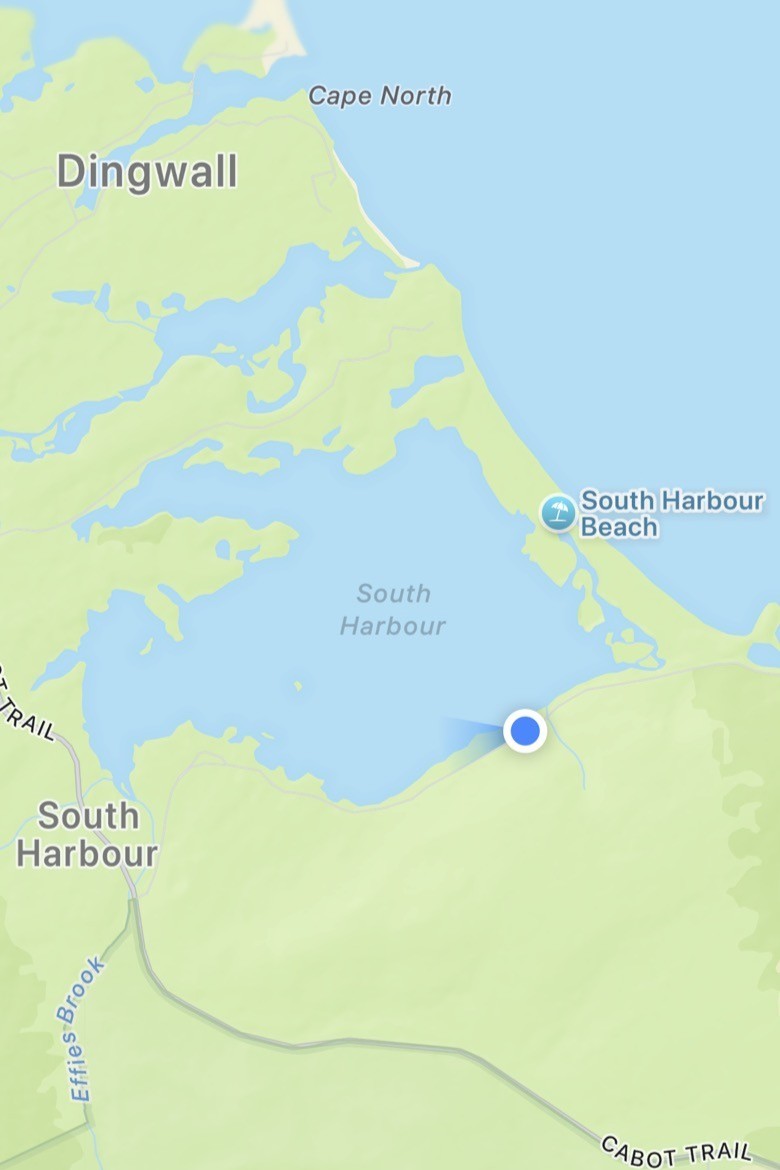
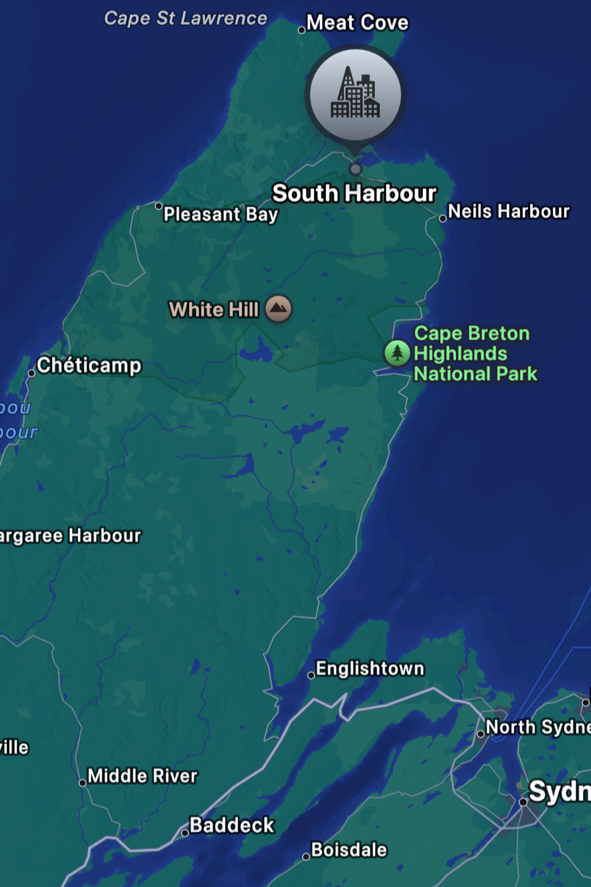
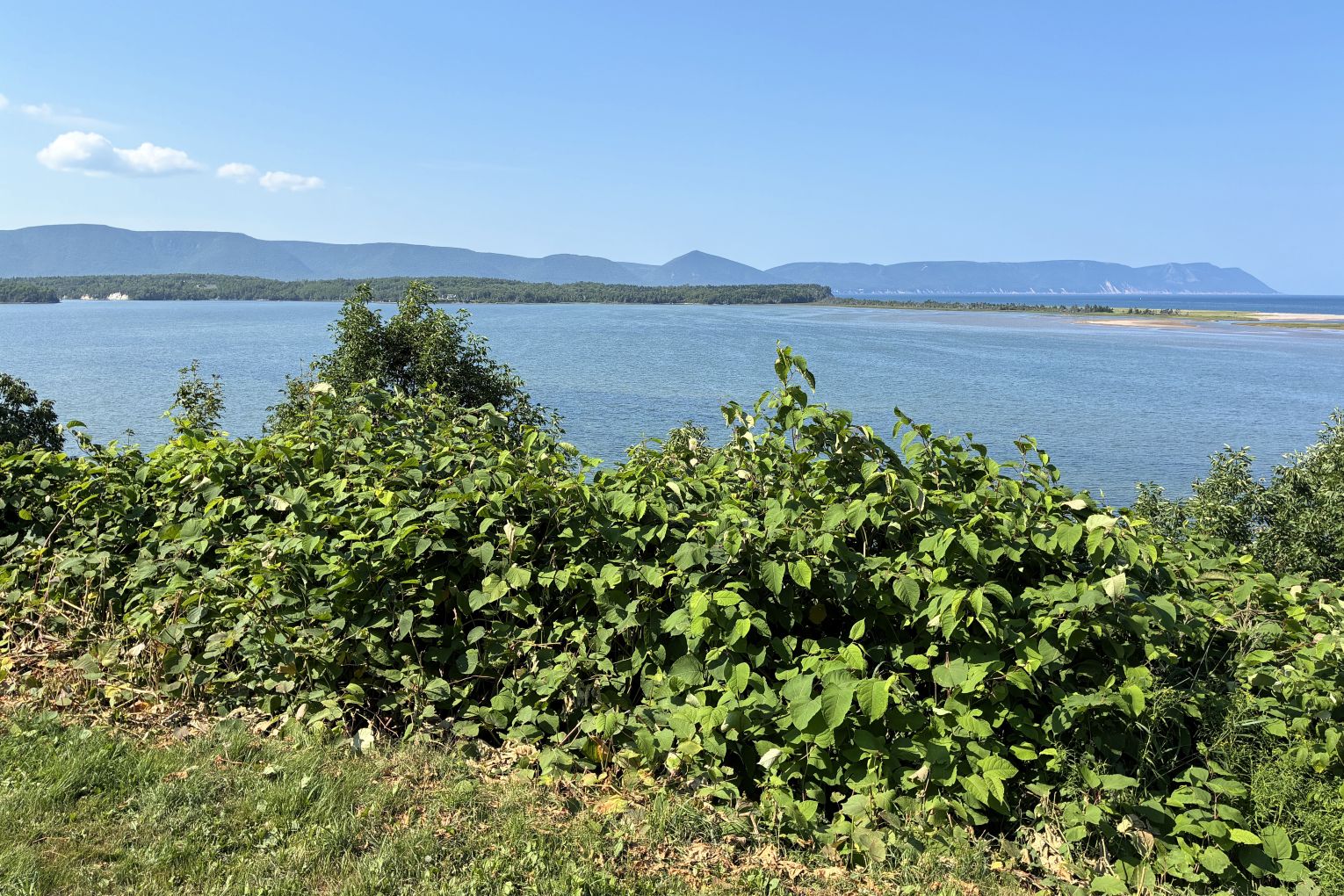
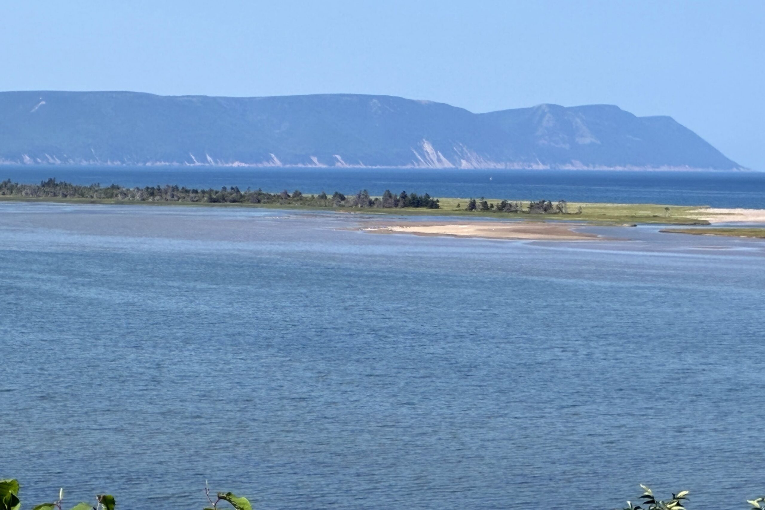
It was time to turn around – we had to get back to Baddeck; we had a Ceilidh [kay-lee] to attend! Our ambassadors had told us about this event and made reservations for us. We got back to Baddeck in time to find a place to have dinner and headed to St. Michael’s Parish Hall for the 7:30 gathering.
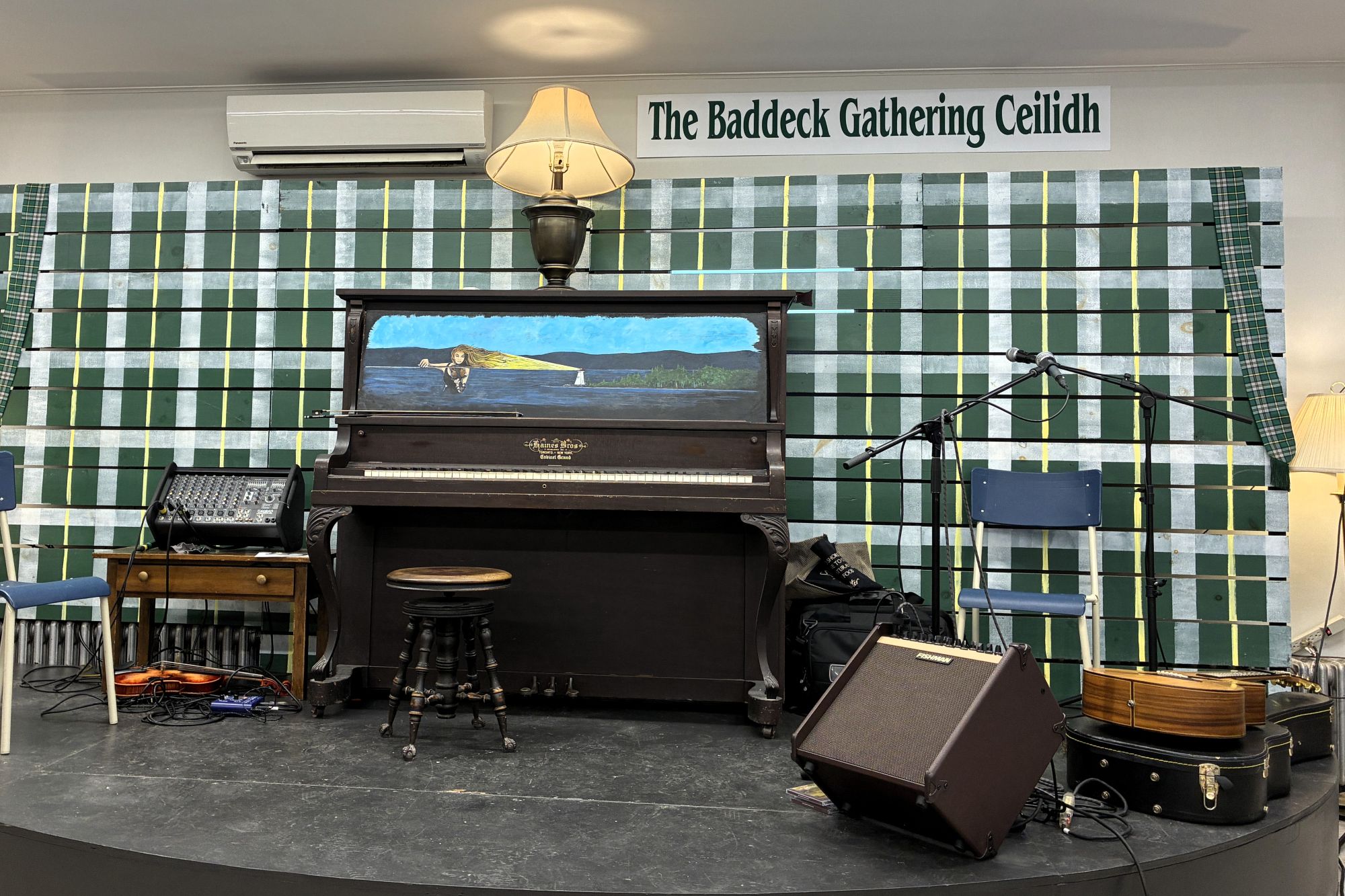
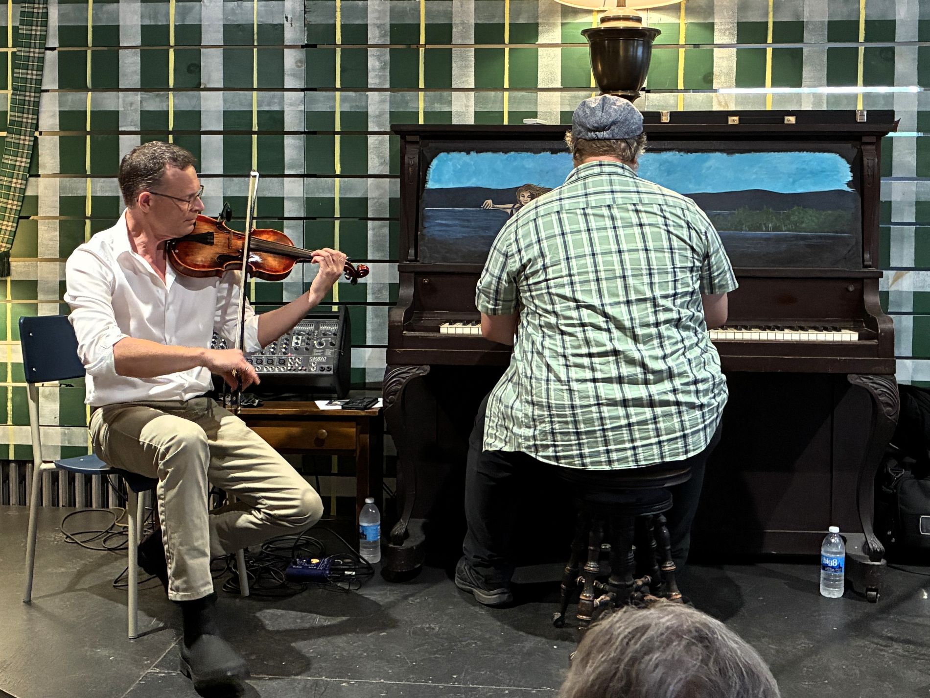
Ceilidh is in its 27th season in Baddeck – Kevin and Neil have played together for some 20 years. The music they played is from Scotland and Ireland. Neil had interesting stories about his instruments; he studied for 10 years about how to make a violin and made the one he played. It has a spruce top and the rest is maple. 12 years ago, he bought his guitar in Vietnam while on holiday; the last day there, he was on Guitar Street on Ho Chi Minh City and met the maker!
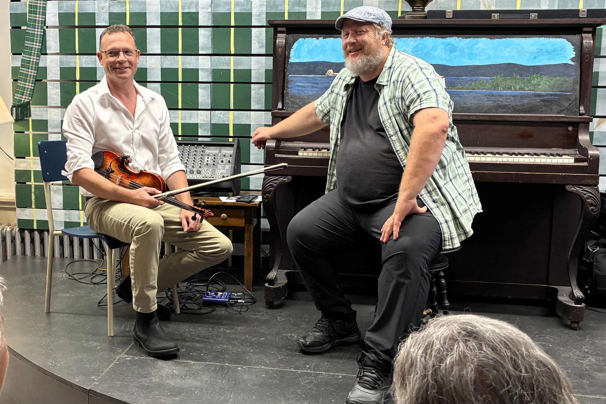
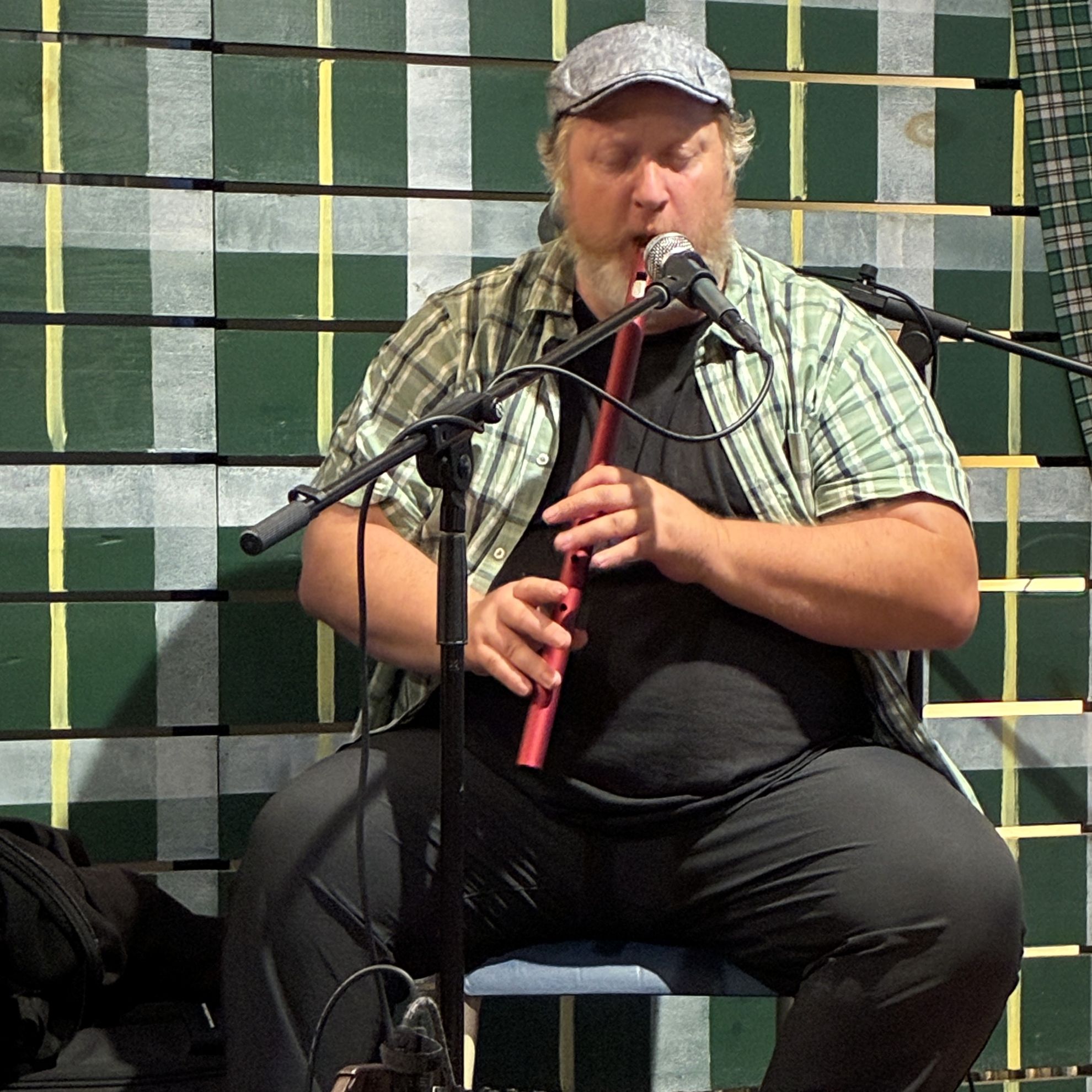
Both talented musicians – they played several instruments! Neil played an instrument similar to a pennywhistle – it is tuned to the key of D.
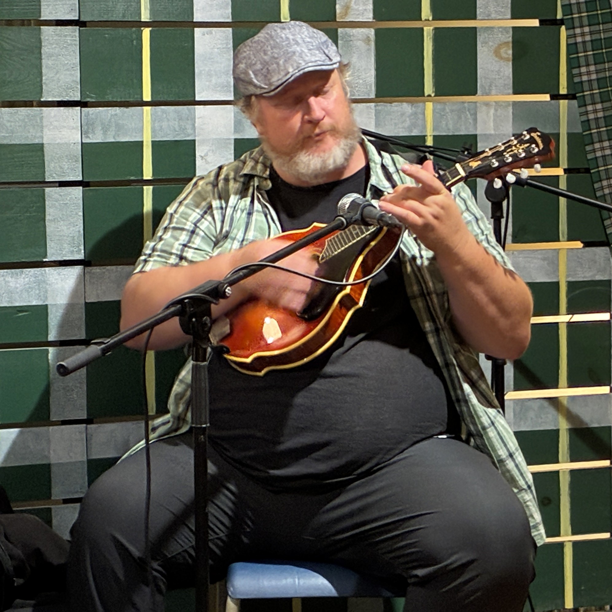
There was a brief intermission during which we were served an oatcake and tea! It was a fun evening.
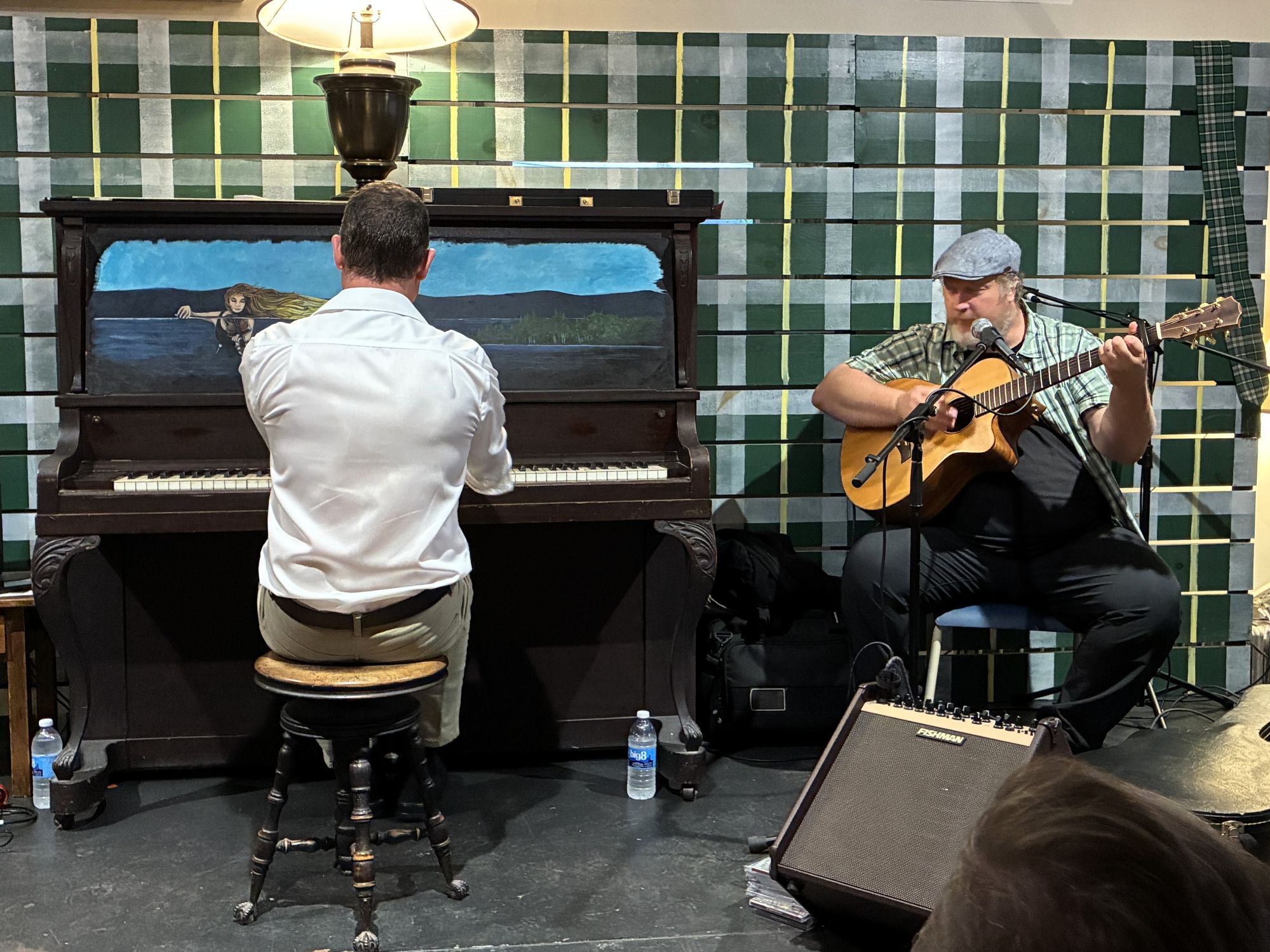
On that note, we end this segment of our adventure; one more week to go with our caravan group – we headed to Truro, Nova Scotia the next morning and then on to Prince Edward Island. The next blog will cover those stops!

Thank you for a recount of your incredible journey. The maritime provinces surely have seen their share of history, your bro, Ted.
We learned a lot about Canadian history as well as more details about the Titanic – and wow! Alexander Graham Bell did so much more than invent the telephone – who knew? Tho he was an American, he fell in love with Nova Scotia and had a lovely estate there!
Have watched Oak Island and think they are going to dig to China before long. 🙂 Seems as if the treasure would not have been buried THAT deep.
A little history note: the White Star ship yards was first owned by my Harland Ancestor in Belfast. From my understanding, it was sold off just before the Titanic was built. I would have to pull out the Harlan scrapbook to get names, etc. SO,, there yago. Enjoyed your blog, the sail ships we beautiful. You guys are having toooooo much fun. Be safe, blessed thanksgiving.